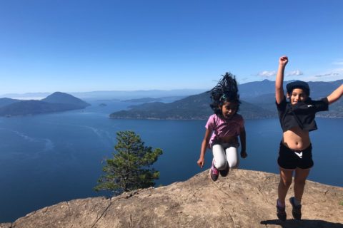
Last weekend, I hiked to Darkside Lake with Oudi, Gabriela and Andy. A few days before the hike, I had not even heard about this lake and had no idea what to expect. Once we finalized the plan, I downloaded the area map on GAIA GPS and the GPX tracks from Steven Song’s trip report.
On May 29, I met the group at St. David’s Church in North Vancouver and hopped into Gabriela’s car. I had heard about Gabriela from Oudi, so it was good to meet her finally. I was meeting Andy for the first time as well.
Marbled Murrelet
Andy has spent more than two decades building trails and working with Indigenous communities in British Columbia. It was fascinating to hear about his experiences from the 80s when driving North along Hwy 99 was itself an adventure.
One of the stories was about his experience of coming across an endangered bird called Marbled Murrelet around the Mount Thurston area. It is a seabird and a forest bird found along the west coast of North America. Andy did an excellent job of describing how it nests and navigates along with old-growth forests.
Once I got back home, I did some reading and found this cool video –
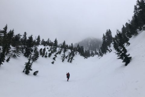
Steep Creek FSR
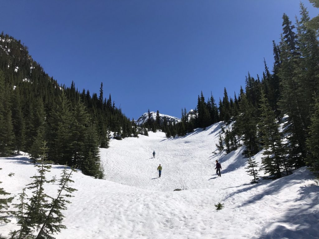
We took a short break in Pemberton and reached the trailhead on Duffey Lake road around 10:30 am. The initial section of the hike was on Steep Creek Forest Service Road (FSR).
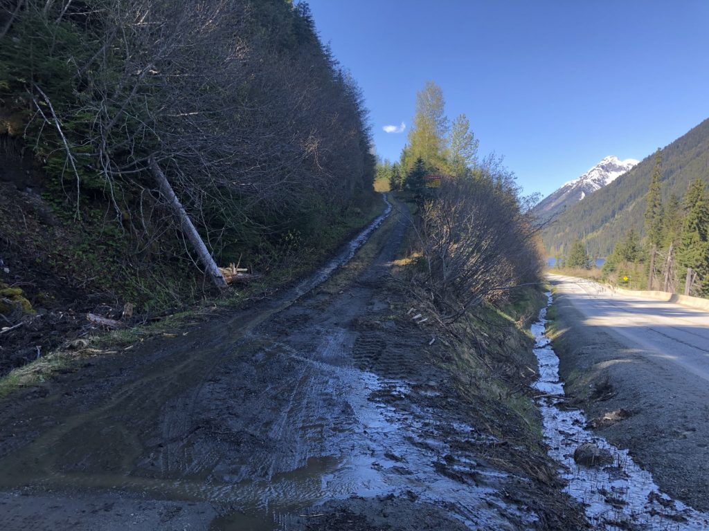
It was clear of snow but was muddy in some sections. We continued on the FSR for about 2.7 km or 40 minutes and arrived at a junction. A few cars/pick-up trucks were parked here.
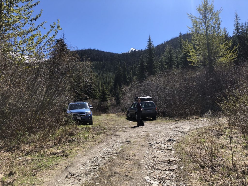
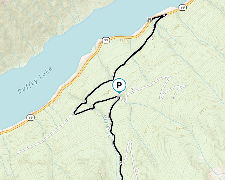
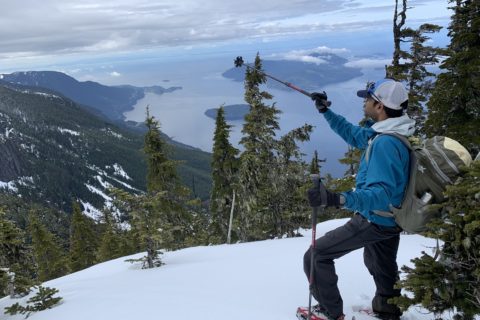
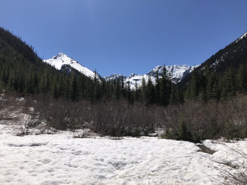
We turned right at the junction and continued on the Steep Creek FSR. Another km on the FSR, we had a good view of the mountains around Darkside Lake.
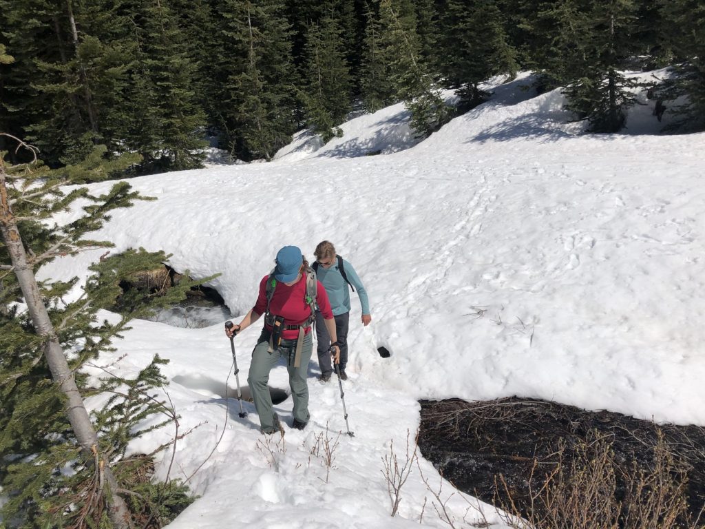
From here, we left the FSR and continued along Steep Creek. The ski tracks made it easy for us to follow the trail. Eventually, we caught up with the skiers.
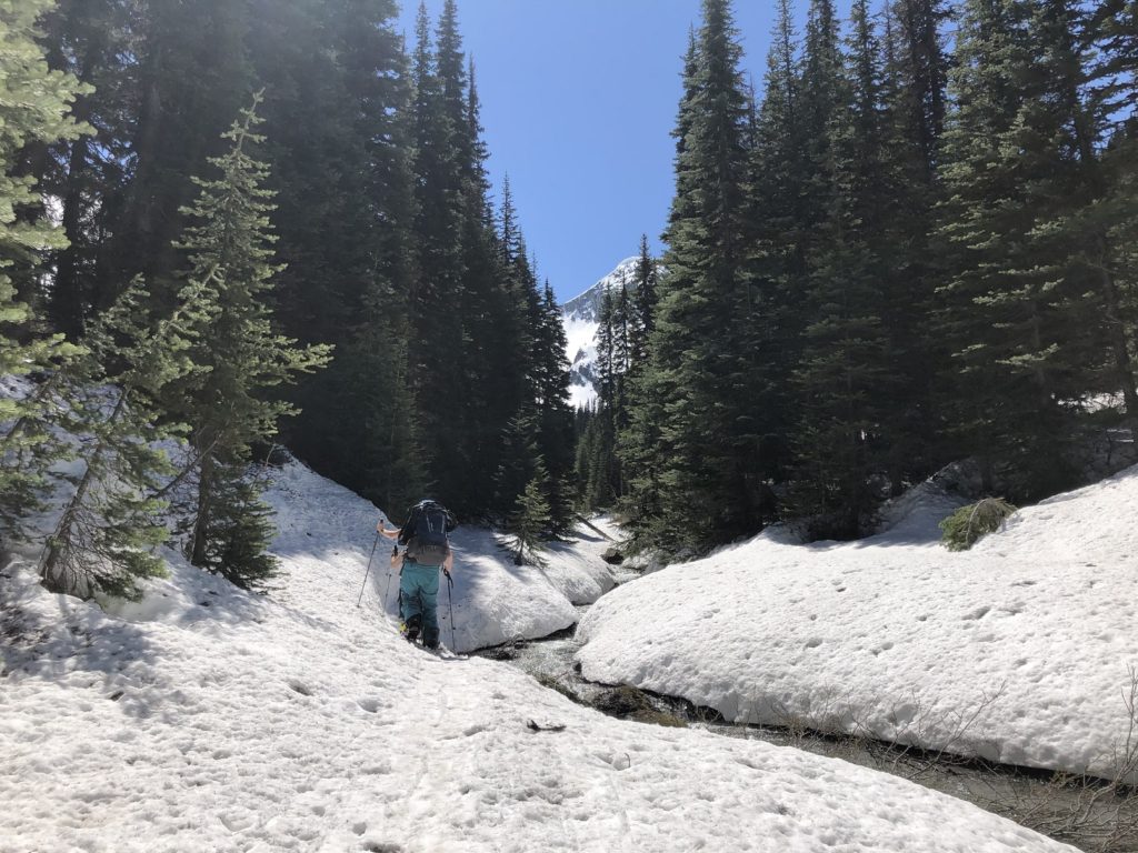
About 5 km into the hike, when the terrain opened up again, we crossed the creek. The skiers went straight, keeping left (East) of the creek.
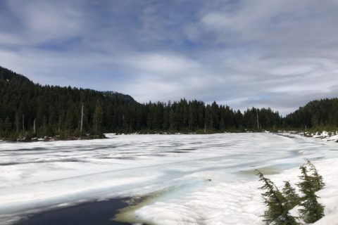
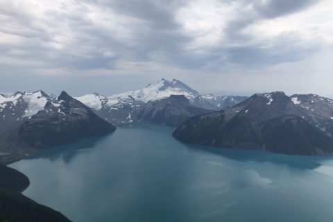
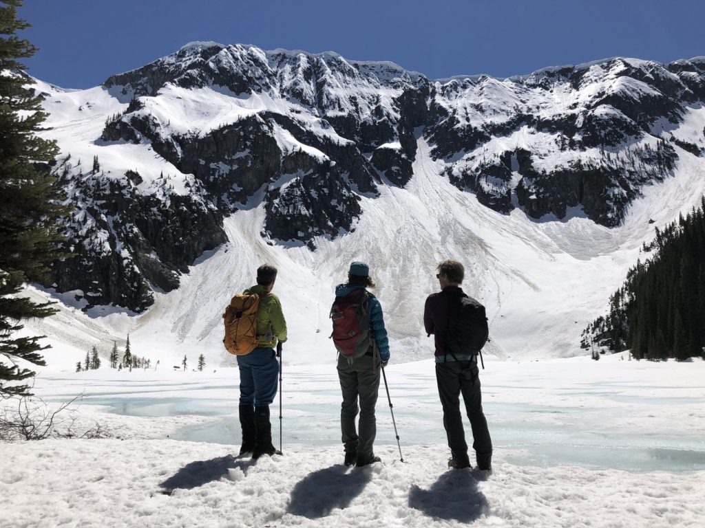
Darkside Lake
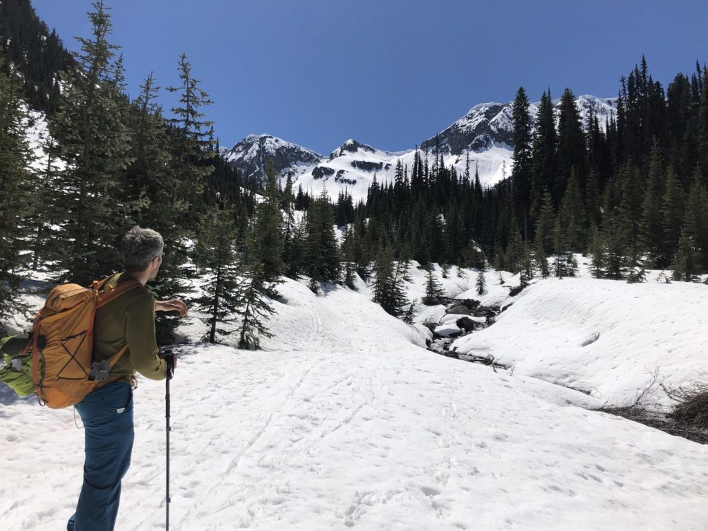
Once we crossed the creek, it took us just 15 minutes to reach the lake. I was blown away by the lake and the surrounding mountains. The lake itself is at 1700 m, and the mountain ridge in front of us was at approximately 2200 m. The mountain ridge had some big cornices from fresh snow and strong winds in the last two days.
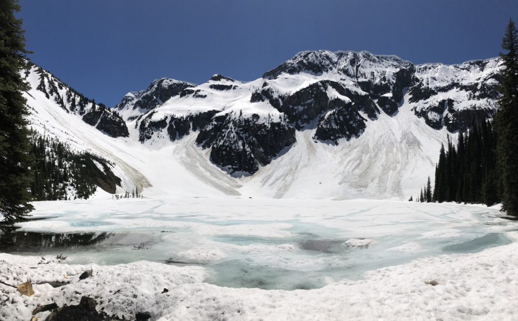
As I read Steven’s report, I realized that Steep Peak is the highest point along the mountain ridge at about 2300 m. We had a long lunch break and took us about one and half hours to get back to the parking lot.
In total it was about a 12 km hike with 635 m vertical. With a 25 lb. backpack it was a good workout. I hope to come back here in good conditions to climb Steep Peak and maybe even ski down it someday.
Resources:
GPX: Steven Song’s Trip Report
Maps: GAIA GPS
Adventure Smart: Trip Planning
Disclosure: I am not affiliated with any of the above individuals or organizations.
Did you enjoy reading this post? Please subscribe to get weekly updates. Thank you!