To wrap up my Base period training of the Uphill Athlete 24-week mountaineering training, I wanted to do a steep 4-5 hour hike. The trails on Grouse offer the best value for time in terms of elevation gain (800 m in 3 km, close to 30% gradient), so I decided to go up and down four different trails on Grouse with a 20 lb backpack.
In 2020, I had done a similar hike, but it was just two laps on Grouse Grind and BCMC. Now with some additional weight, different trails and more rain, it would be a bit more challenging.
Flint and Feather
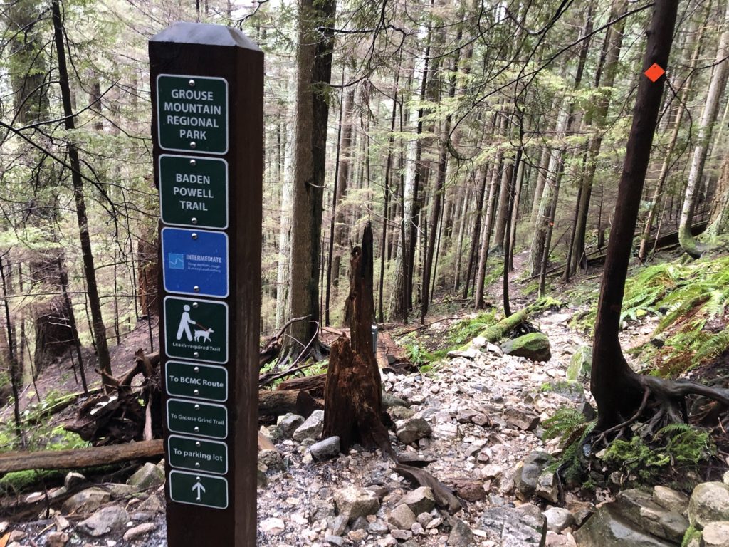
Around 8:15 am, I started my hike and decided to go up Flint and Feather first. The initial section is the same as Grouse Grind (check this post from Outdoor Vancouver to access it via BCMC trail).
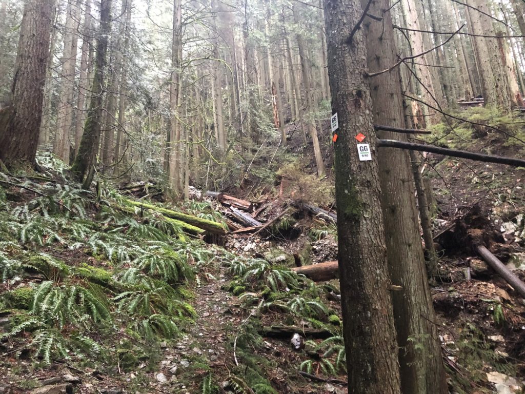
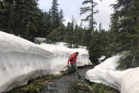
At marker 9/40, a small trail to the right leads to the creek bed. You can also access it higher up on the Grouse Grind trail, just before the bridge.
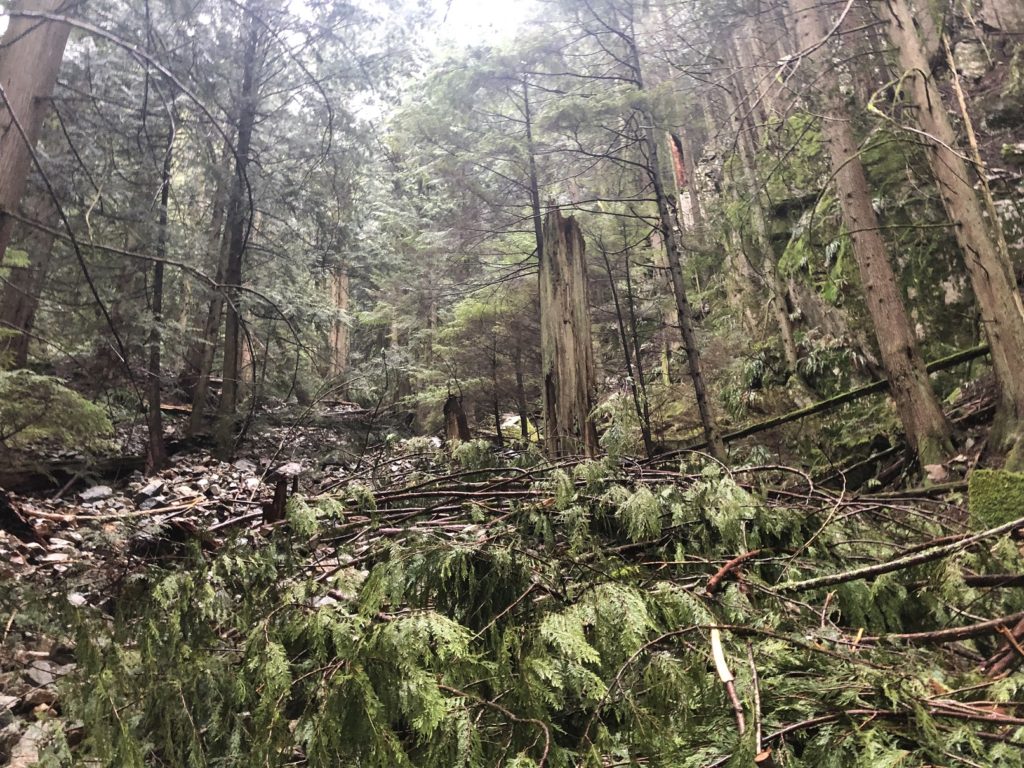
It took me about 10 minutes to hike up the creek bed over fallen trees and scree. Then, higher up, I went left to the base of the ridge.
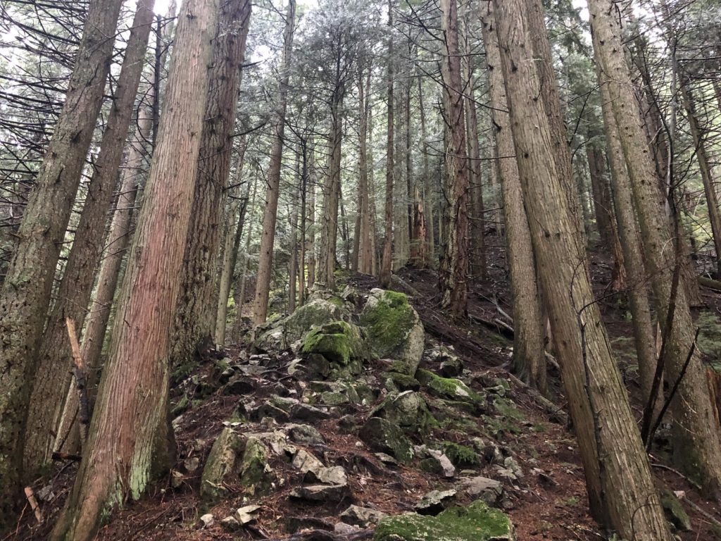
Once on the ridge, it is relatively easy to follow the trail to the base of the scramble section.
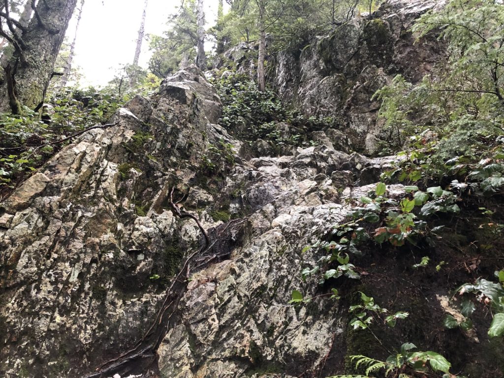
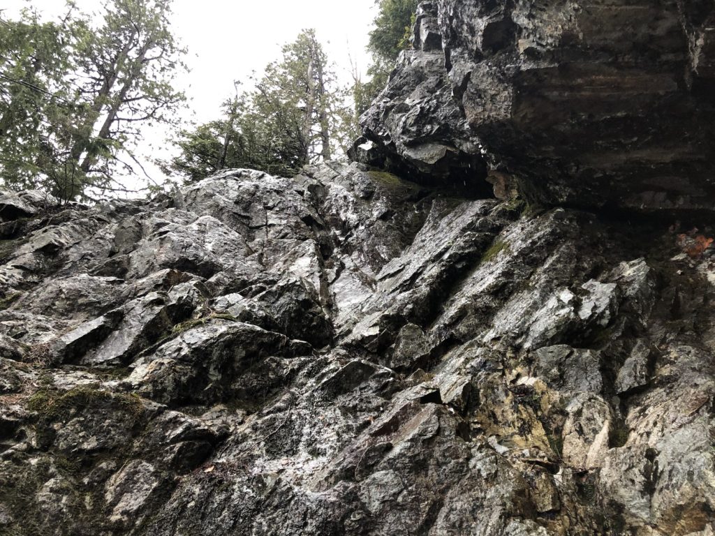
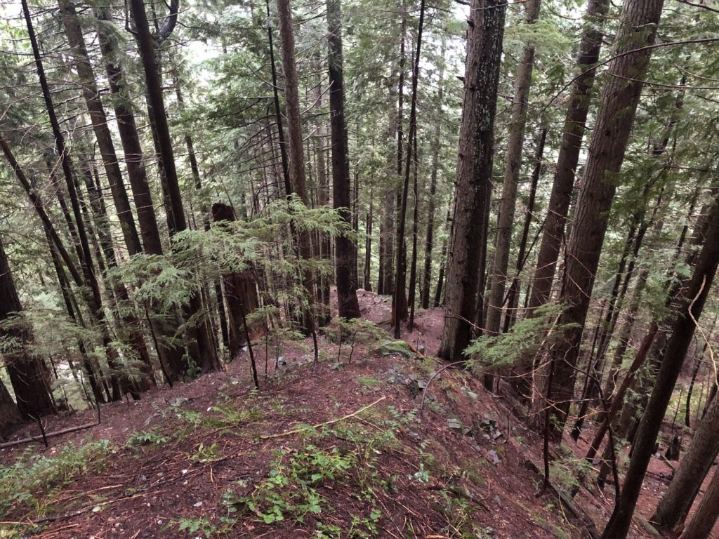
I have been up this route before a couple of times, but I took my time to scramble up, given the rainy conditions and the backpack. As I made my way up the scramble, I went a bit too far to the left at one point. I checked my location on GAIA and then got back on the trail.
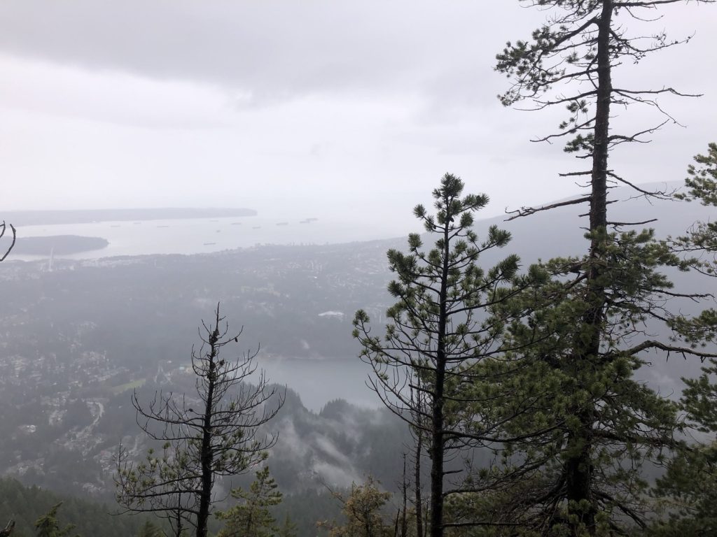
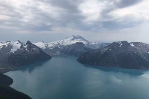
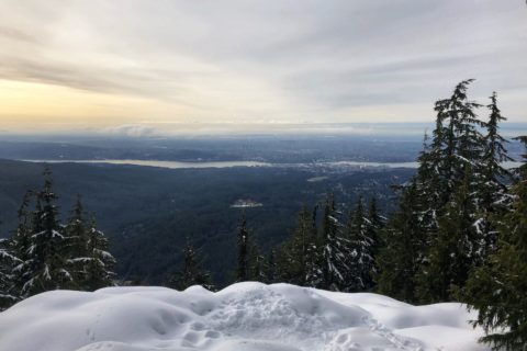
On top of the scramble, there is a beautiful lookout.
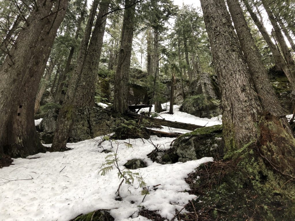
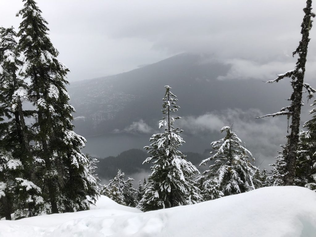
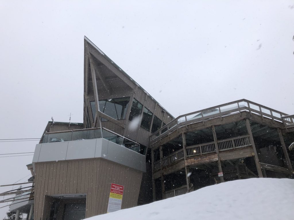
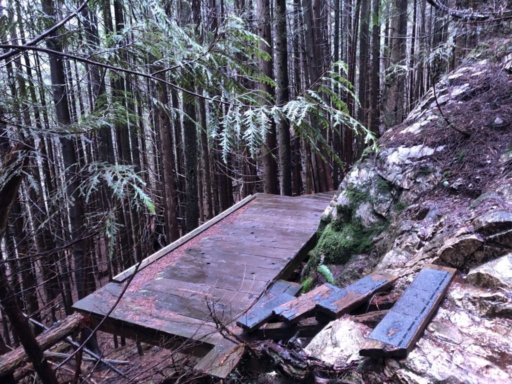
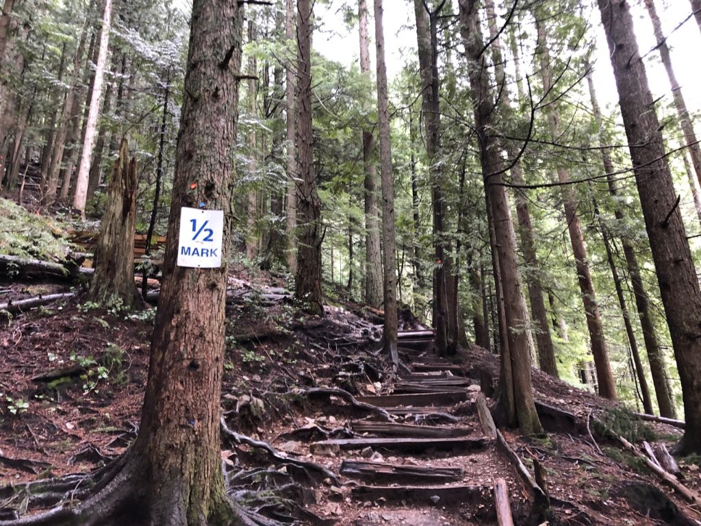
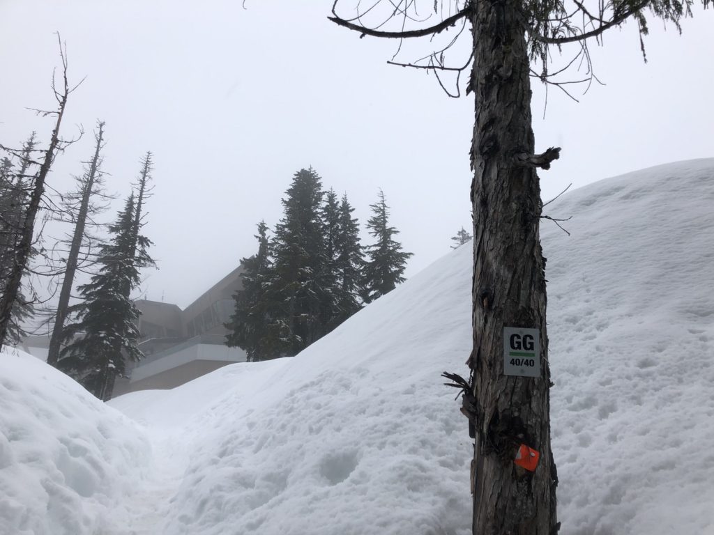
Past this viewpoint, there was snow on the trail. I had my spikes but didn’t have to use them as I followed the gently stomped trail. Higher up, the trail connects with BCMC, and I followed the BCMC trail to the Grouse Mountain Chalet. It took me about an hour and forty minutes to get up Flint and Feather (about 2.7 km) with close to 800 m elevation gain.
There are no markers or trail signs on Flint and Feathers, and the scramble makes it challenging. Compared to BCMC and Grouse Grind, it is a demanding hike, so please be prepared.
BCMC + Larsen + Baden Powell Trail
After a quick water break, I made my way down the BCMC trail. After a km, there is the Larsen and BCMC trail junction. I went left on the Larsen trail. The trail crosses a couple of other trails, but it is well marked and easy to follow.
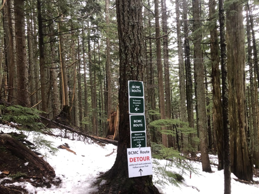
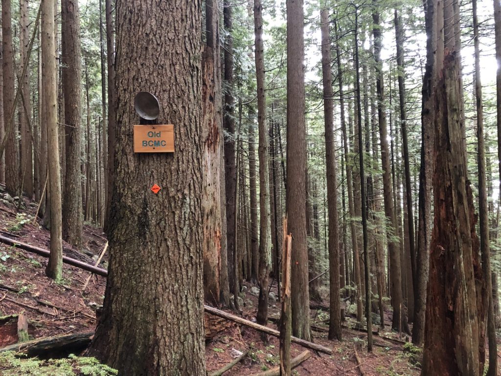
In less than 200 m, I was at another junction. I followed the trail down to the right to stay on Larsen Trail. The next junction was with Old BCMC Trail. Here again, I went right.
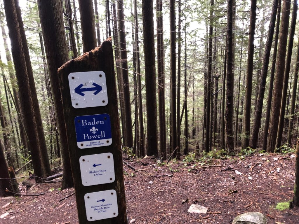
Finally, I got on the Baden Powell trail and hiked back to the base of Grouse Grind. It took me just over an hour to get down from the Chalet.
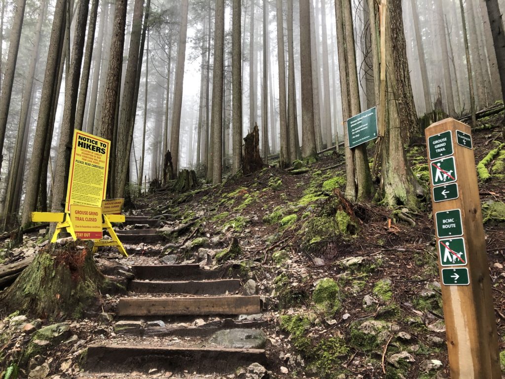
Grouse Grind
After a short break, I was back on Grouse Grind.
I have done this hike several times, so it was mentally less taxing, as I didn’t have to think much.
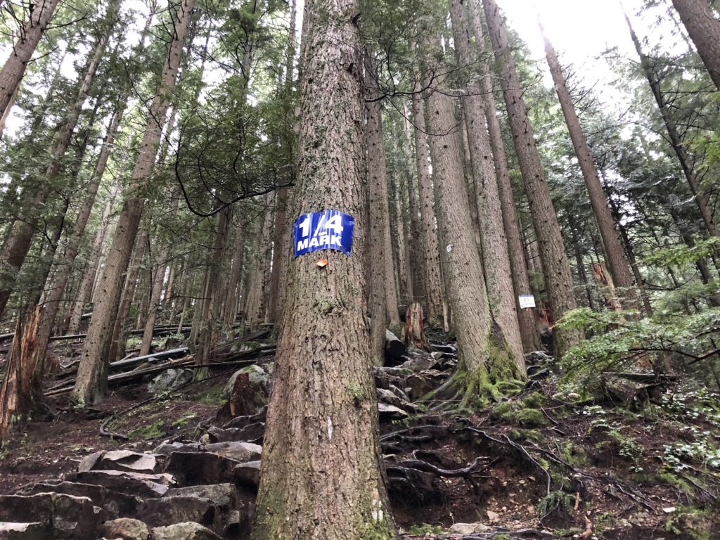
It took me an hour and twenty minutes to get to the top.
BCMC
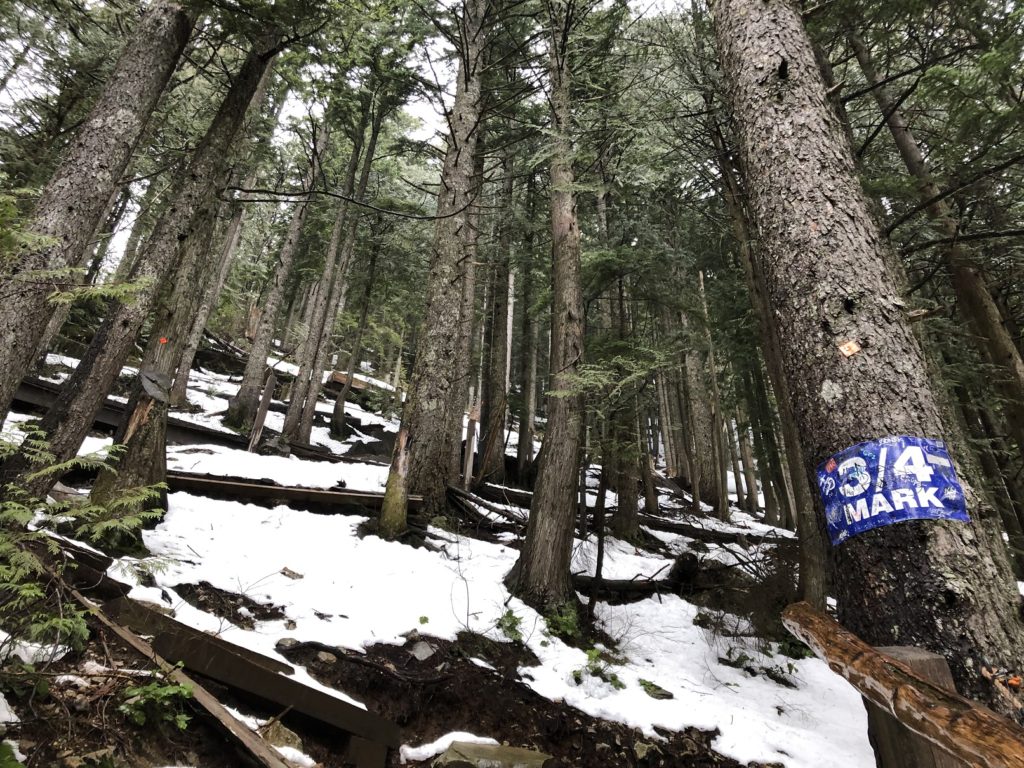
I had not used microspikes so far, but I was a bit tired coming down the BCMC, so I put on the microspikes to be safe. I probably took them out around marker 29/50 while going down the BCMC trail.
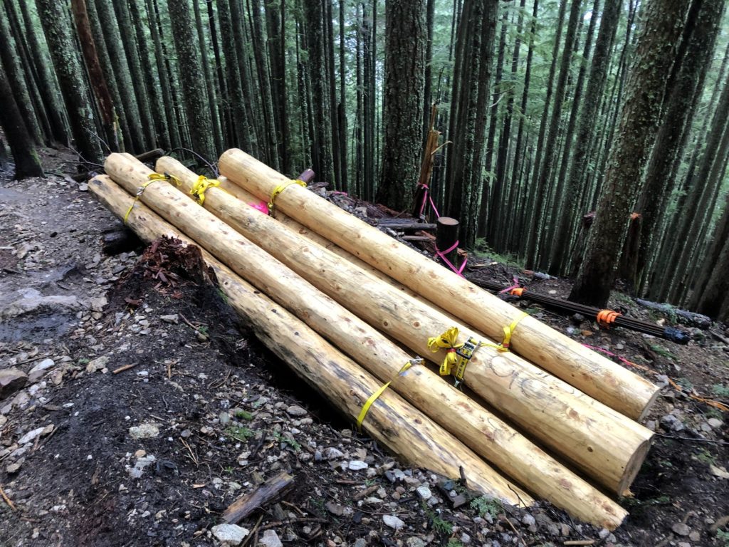
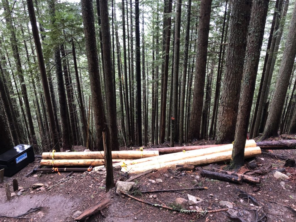
There has been a lot of trail work done on BCMC in the last year, and it looked like Metro Vancouver had plans for more trail maintenance at different sections.
I was back at my car around 1:45 pm. It had taken me about 5 hours and 30 minutes to go up and down the Grouse mountain twice through different trails. I thought I would be done under five hours, but Flint and Feather took much longer than I expected with the backpack and snow conditions.
Overall it was a good aerobic workout, with over 12 km with about 1600 m of vertical in about five and half hours.
Territory Acknowledgement
I would like to acknowledge that this trip took place on the unceded territory of the Coast Salish peoples, including the territories of the xʷməθkwəy̓əm (Musqueam), Skwxwú7mesh (Squamish), Stó:lō and Səl̓ílwətaʔ/Selilwitulh (Tsleil-Waututh) Nations. I commit to learning about Indigenous peoples and issues and making reconciliation an ongoing effort.
Source: Native-Land Pronunciation Guide: First Nations.info
Resources:
Grouse Grind stats and other information: Grouse Mountain Resort Website
History of Grouse Mountain: Global News Video
Trail Info: Outdoor Vancouver
GPX Tracks: GAIA GPS
Weather Forecast – SpotWx | Yr.No
AdventureSmart – Trip Planning
Disclosure: The links I have shared in the post and under the Resources section are not Affiliate Links.
Did you enjoy reading this post? Please subscribe to get weekly updates. Please share your feedback in the comments section below. Thank you!