Evans Peak is a 1,120 m peak in Golden Ears Provincial Park. Last weekend I did this hike with Bala and Scott from BC Mountaineering Club (BCMC). The hike to Evans Peaks and back is about 9.2 km with more than 900 m elevation gain.
Golden Ears Provincial Park is now operating on the summer schedule and opens at 7 am. But since we were doing a short hike, we decided to have a more relaxed start and meet at the West Canyon parking lot at 8 am.
Rohan, another BCMC member, was also at the parking lot with his wife Prajakta and infant son. They were planning to do the same hike with another friend. We decided to hike separately so that each group can hike at their own pace.
As I read recent trip reports, I got mixed reviews on trail conditions and what gear was required. Through Rohan, I connected with Neha, who had done the hike just a few days back.
Based on Neha’s suggestion, I was planning to carry just hiking poles and microspikes. But after a quick chat with Bala and Scott, I packed the ice axe as well. I had already packed 25 lbs in my backpack for training; one more pound was not going to make a huge difference.
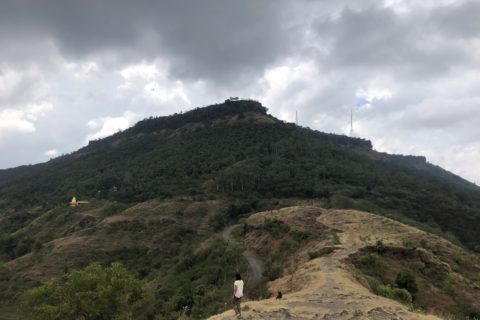
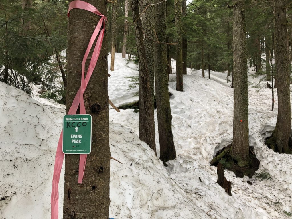
Viewpoint Trail
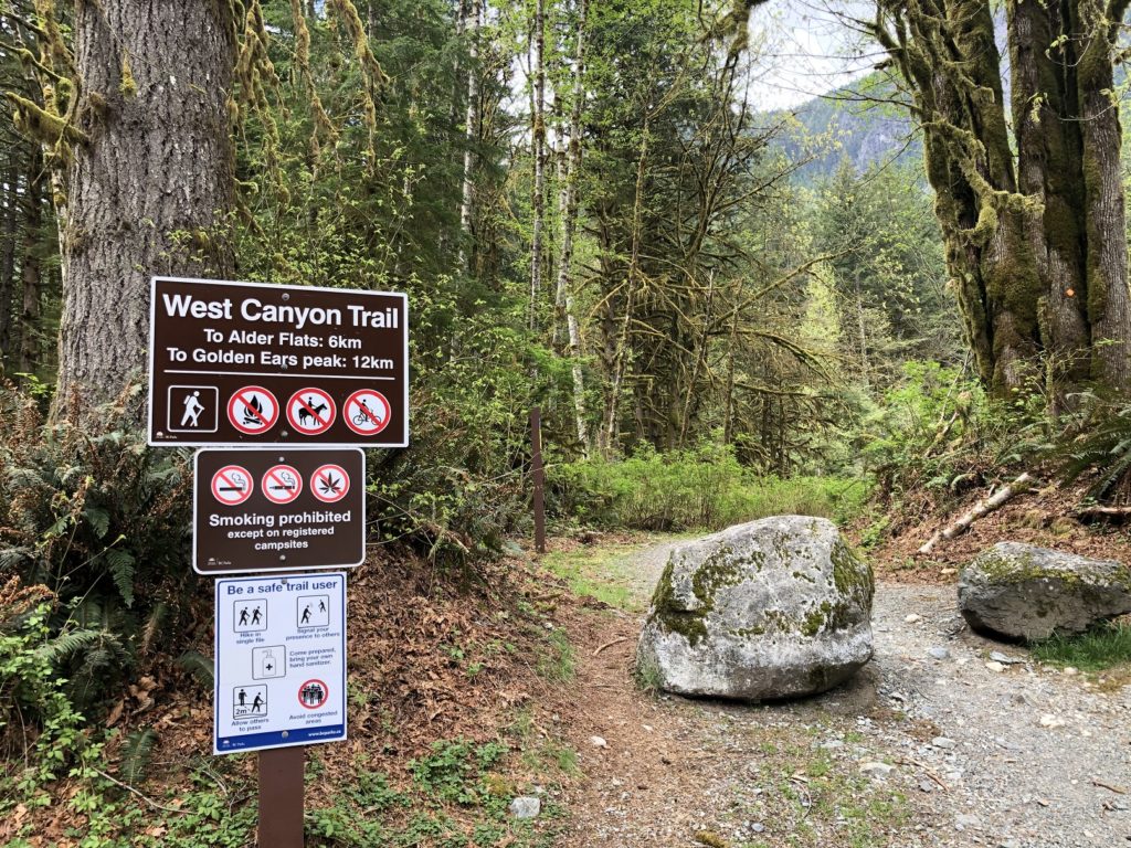
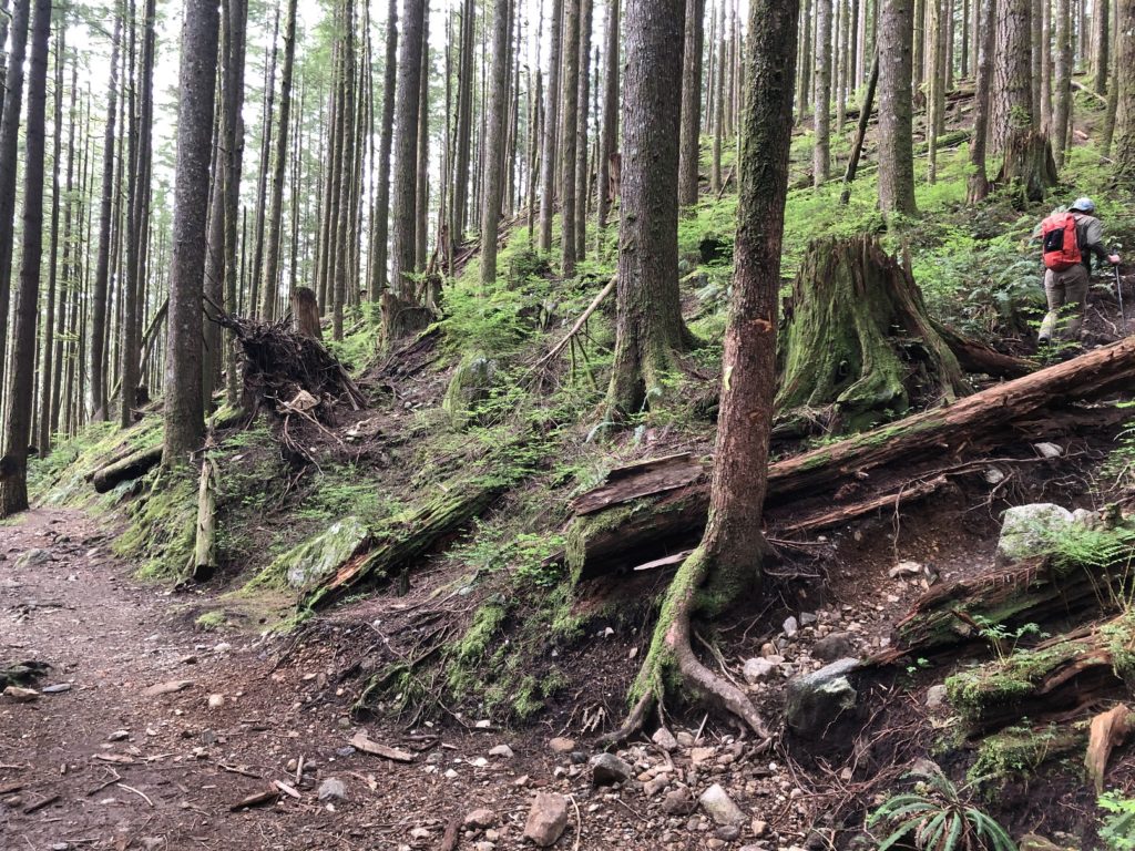
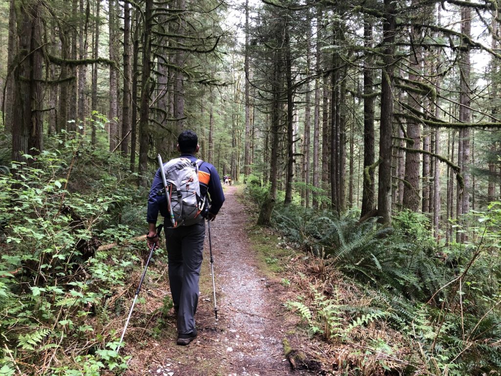
We started around 8:15 am. Evans Peak hike begins on the West Canyon Trail, and then you can go up Menzies or Viewpoint Trail. The hike up Viewpoint Trail is shorter, so we decided to go up Viewpoint Trail and come down Menzies Trail.
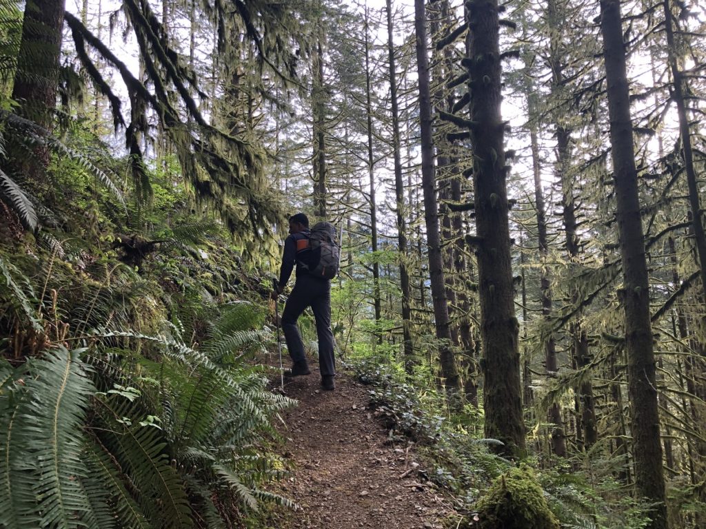
The Viewpoint Trail has a steady climb and starts with some switchbacks.
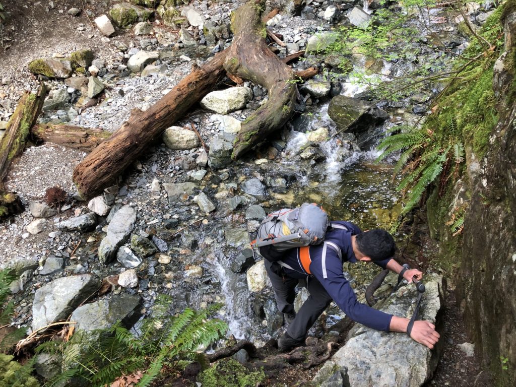
About 25 minutes into the hike, we crossed a stream, and from here, it was a short hike to the junction of Viewpoint Trail and Alouette/Evans Peak Trail.
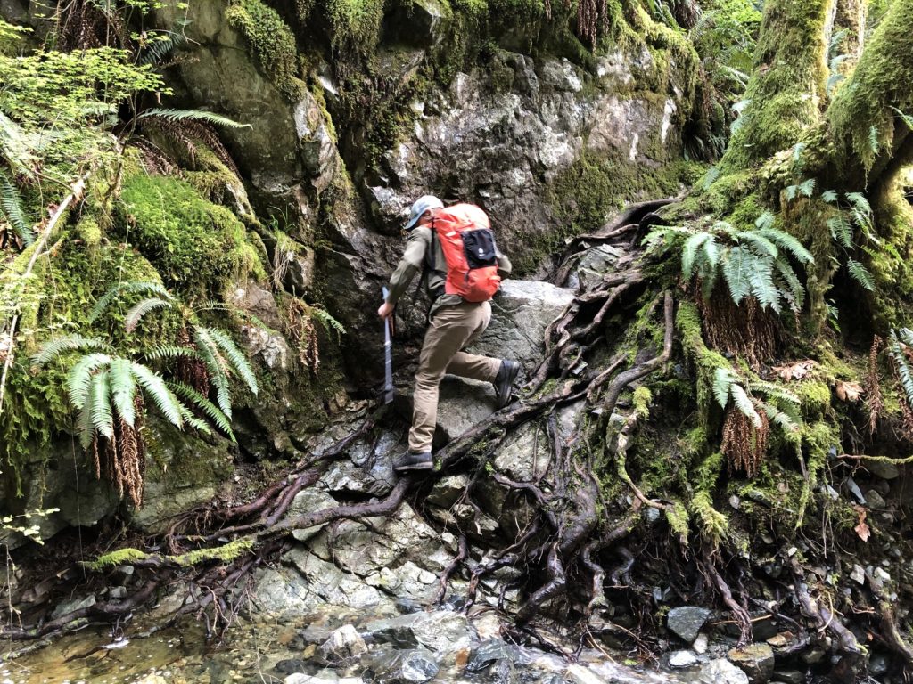
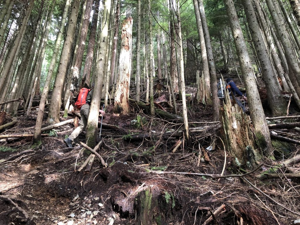
Alouette / Evans Peak Trail
The trail ahead was pretty steep and rugged. My pace slowed down, and I was questioning my decision to carry extra weight for training. But having done Parkhurst Mountain in April and other hikes with similar weight gave me the confidence to continue.
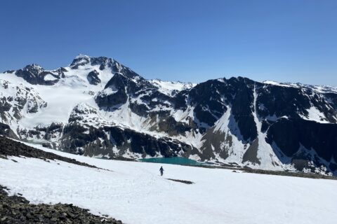
About an hour and fifteen minutes into the hike, we took our first break. Through the opening, we had a good view of the ridge leading to Evans Peak.
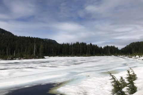
Starting at an elevation of 850 m, we saw some snow on the trail. About 3 km into the hike, we were at the Alouette and Evans Peaks trail junction. By now, we had consistent snow on the ground. We were all wearing boots and were hiking comfortably in our boots without any microspikes.
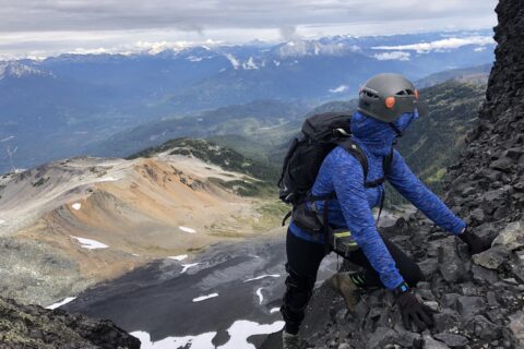
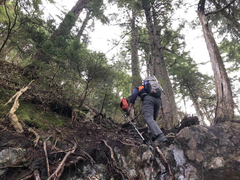
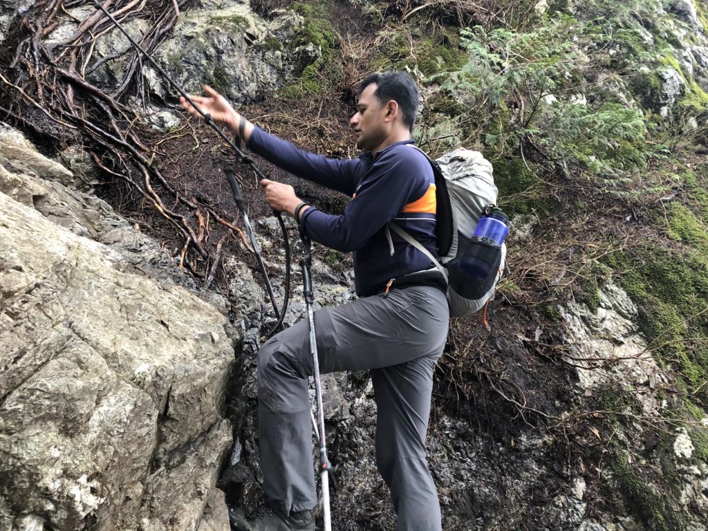
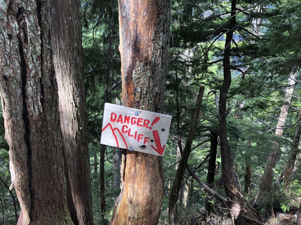
Before we got to the ridge, we had to scramble up two sections with ropes for support. It was wet but manageable. Next was a steep snow climb where I had read reports of people using crampons. But given the snow condition, we continued in our boots, and with our poles, we didn’t have any issues accessing the ridge.
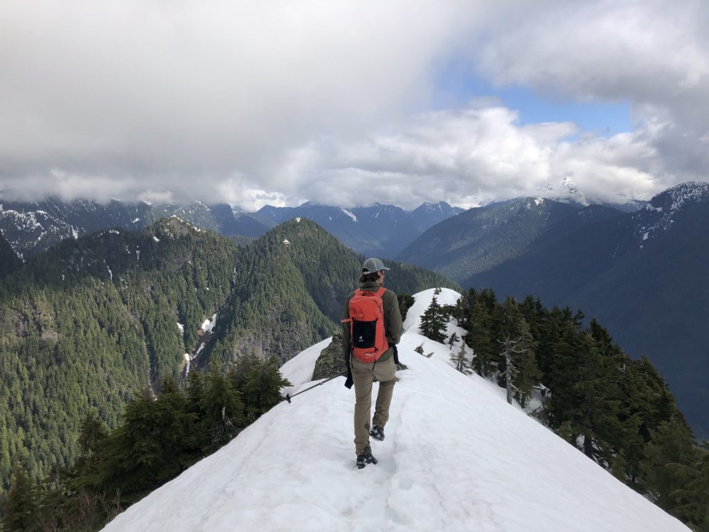
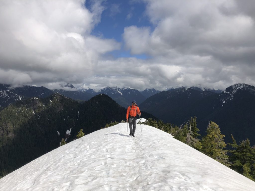
Evans Peak Summit
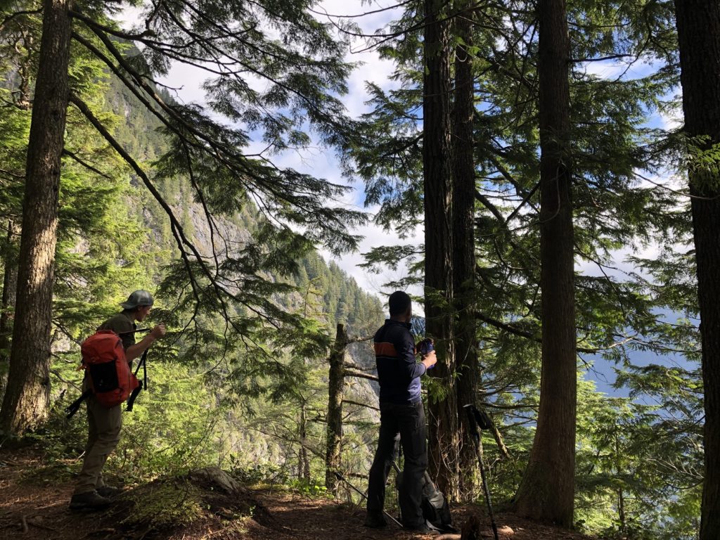
From the ridge, it was an easy hike to the summit. In total, it took us about two hours fifteen minutes to get to the top. We continued past the summit and took a break at the North end of the ridge.
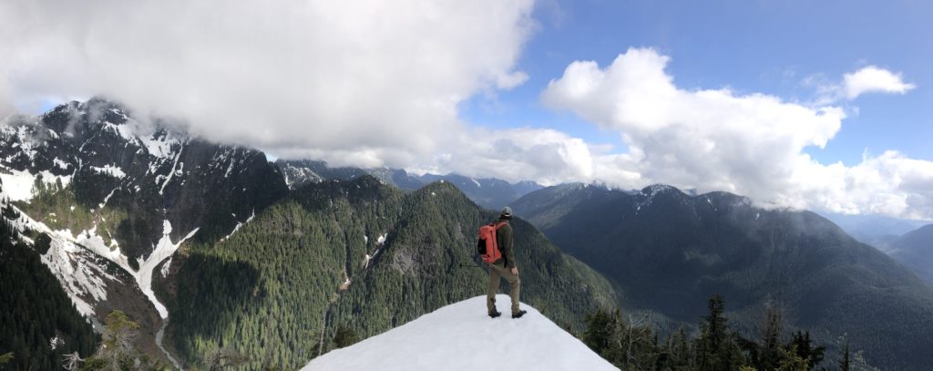
Although the clouds limited our views of the surrounding mountains and Alouette lake, it was a beautiful day for the hike.


After a 20 minute break, we were back on the trail and were cautious coming down the steep section.
Scott had a family commitment, so he went ahead and was literally running down. Bala and I made our way back down at a steady pace. When we reached the Viewpoint Trail and Alouette/Evans Peak Trail junction, we took a right (heading South).
Menzies Trail
This part of the trail is relatively less crowded, and at one point, I wondered if we had taken the wrong trail. GAIA GPS confirmed we were on the right track. Viewpoint Trail drops down and connects with Menzies Trail. Menzies is wide and flat, a welcome break from the rugged trail we had just come down.
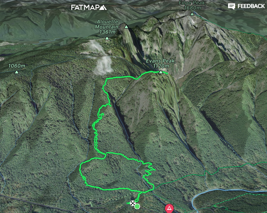
Soon we were back at the parking lot. In total, it took us four hours and twenty-one minutes for the round trip. My COROS recorded a total distance of just under 8 km with 1067 m elevation gain/drop. GAIA GPS, on the other hand, recorded a hike of 9.2 km with 926 m vertical.
Here is a view of the hike in FATMAP –
Scott texted me later that he was down at the parking lot at noon. So coming down, it took him 30 minutes less. My knee hurts just imagining that pace while coming down. Maybe I will have to ask Scott about his secret of pace and healthy knees on the next trip.
And yes, Rohan made it to the top carrying his son in a baby carrier. What an incredible guy and he is truly an inspiration!
Resources:
Trail Guide: All Trails
AdventureSmart: Trip Planning
Golden Ears Provincial Park: BC Parks Website
Disclosure: I am a member of BCMC. I am not affiliated with any of the other individuals or organizations.
Did you enjoy reading this post? Please subscribe to get weekly updates. Please share your feedback in the comments section below. Thank you!