Yogesh, my friend from undergrad, was visiting Seattle, and we decided to meet for a short hike. It had been close to ten years since we last met, so I was looking forward to this trip. Oyster Dome trail is on Blanchard Mountain which is part of the Chuckanut Mountain Range. It is a 8 km (5 mile) loop with about 320 m (1050 feet) of elevation gain.
The location was perfect, as it was about an hour and a half drive from Vancouver and about the same from Seattle. Yogesh was staying with Rohan in Seattle and would drive up with him. I had heard about Rohan from Yogesh, so it was good to finally meet him.
Samish Overlook / Oyster Dome Trailhead
I left home at around 7:30 am and was at the Aldergrove / Lynden border crossing right when it opened at 8 am. Fortunately, it was not busy in the morning. I took WA-539 South to Bellingham and then got on I-5 South. I took the exit at Alger and made my way to the Samish Overlook parking/day-use area.
A Discover Pass is required to park here. I purchased the day pass in the morning, wrote down the order number on a piece of paper, and put it on my dashboard.
Yogesh and Rohan arrived at the parking lot just after 9 am. It was raining, so we took a break and sat in my car sipping chai. I had brought chai for Oyster Dome viewpoint, but the chances of us hiking up looked pretty bleak.
PNW Trail – Samish Connector
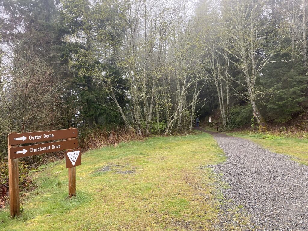
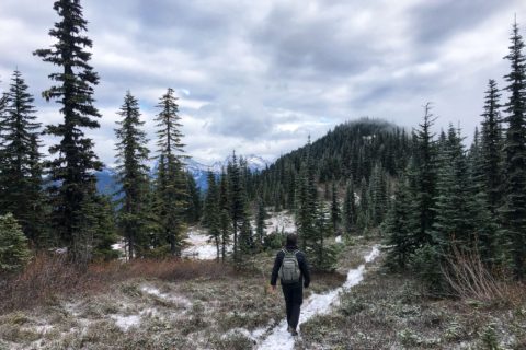
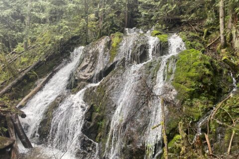
Around 9:45 am, the weather cleared up a bit. Visibility from the parking lot viewpoint was still low, but at least it had stopped raining. We followed the signs for Oyster Dome, which initially took us on the Pacific Northwest Trail. The trail descends for a few minutes before connecting with the Samish Connector.
It was about 3 km from this junction to the Oyster Dome viewpoint, with about 300 m of elevation gain.
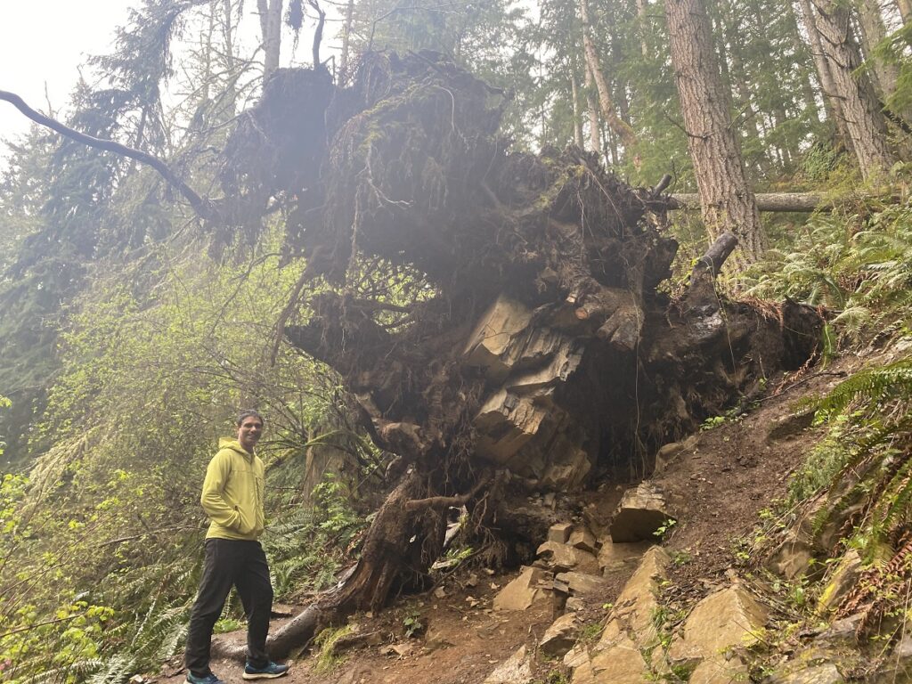
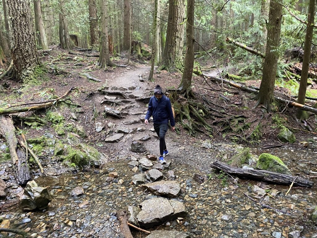
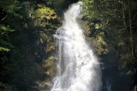
The trail was well-marked and easy to follow, and the Washington Trails Association (WTA) does a great job maintaining it. A crew from WTA was on site when we did this hike on April 6.
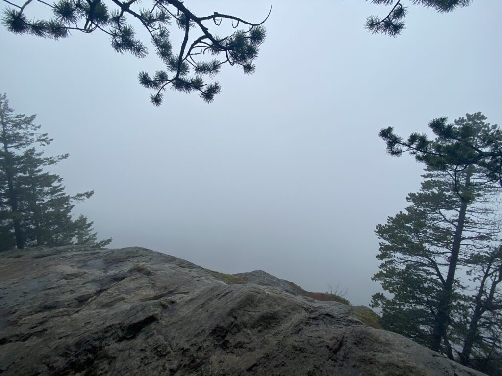
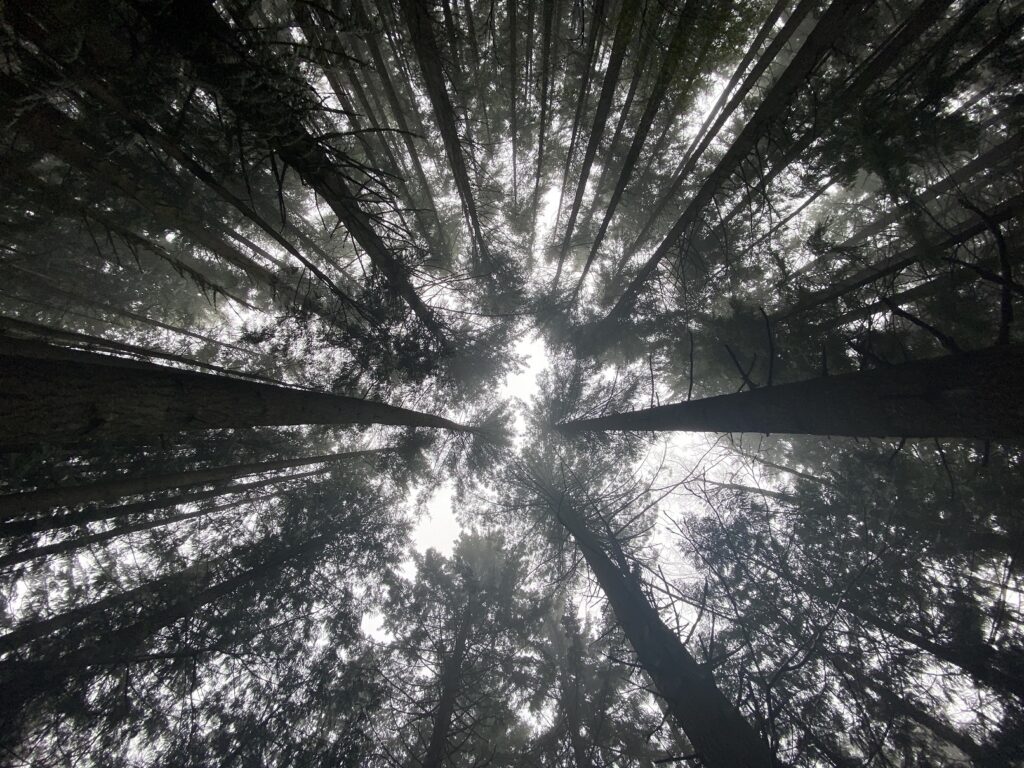
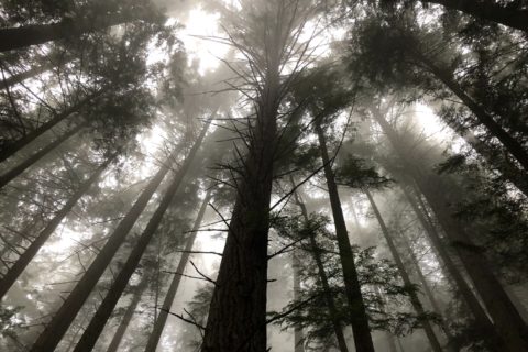
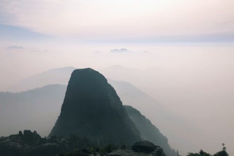
After about an hour and 15 minutes of hiking, we arrived at the Oyster Dome viewpoint. There was no visibility, and given the wet rock, we stayed back and enjoyed a short break.
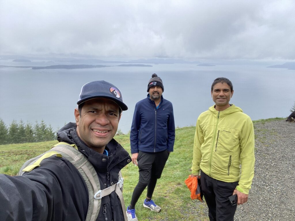
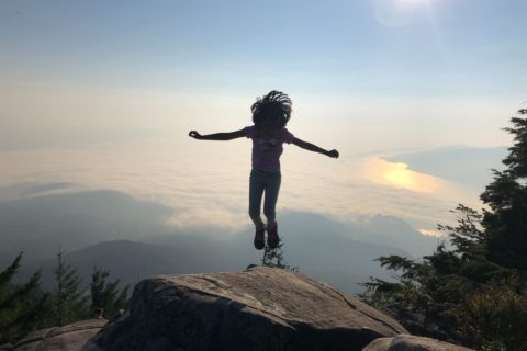
On the way down, there is an option to do the loop via Lily Lake, but we just hiked down the trail we came up. So, it ended up being a shorter less than 7 km hike. We were back at the parking lot by 12:15 pm. It was still cloudy, but we had slightly better views than when we started. Overall, we were not lucky with the views, but it was a good short hike with friends.
Resources:
Oyster Dome Trail: Washington Trails Association
Blanchard State Forest: DNR Website
Discover Pass: Website
Weather Forecast – SpotWx | Yr.No
AdventureSmart – Trip Planning
Disclosure: The links I have shared in the post and under the Resources section are not Affiliate Links.
Did you enjoy reading this post? Please subscribe to get weekly updates. Please share your feedback in the comments section below. Thank you!
Dear Shashi, I feel so inspirational after reading your blog, your friendship with Rohan, and your experiences with your family. I am 36, and have some extra pounds which I am trying to shed, but it never discourage me to think about hiking, camping, and being in nature. Although my experiences have been very brief, I still hope to continue my journey. I would love to get some guidance from you on a variety of topics. For instance, the easier treks to begin with, how to train for these activities, things to carry. I am located in Vancouver. I hope to hear from you soon. Thank you.
Hitesh – thank you for your kind note. I would be happy to help. I will send you an email soon.