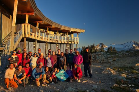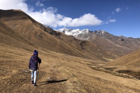
I am just finishing the second cycle of my Uphill Athlete Mountaineering Training, and for March 13, the training plan had a 3-hour steep hike as a workout. Hiking Mount Fromme in winter at 10 km with around 900 m elevation gain was perfect for the Saturday workout. Slawomir was available and joined me on this hike.
Where Do You Start?
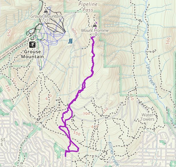
Of all the hikes I have done, Mount Fromme stands out in terms of the number of options you have on where to start. While I was reading more about the trail, starting the hike from St. Georges Ave, St. Marys Ave, or the Mountain Highway were just a few of the options I came across.
After having a quick chat with Slawomir, we finalized to start at St. Georges street. Around 7 am, we parked along St. Georges Ave and made our way to the cul-de-sac to start the hike.
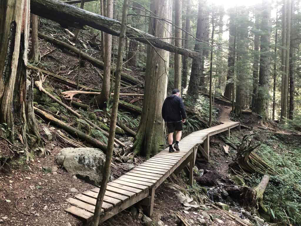
Mount Fromme is popular for mountain biking and has an excellent trail network. North Shore Mountain Bike Association has done a great job of maintaining these trails.
The variety of trails, however, can be confusing to people who are new to the area. I had downloaded the map from GAIA GPS and had a rough idea of trails we will be taking to Mount Fromme.
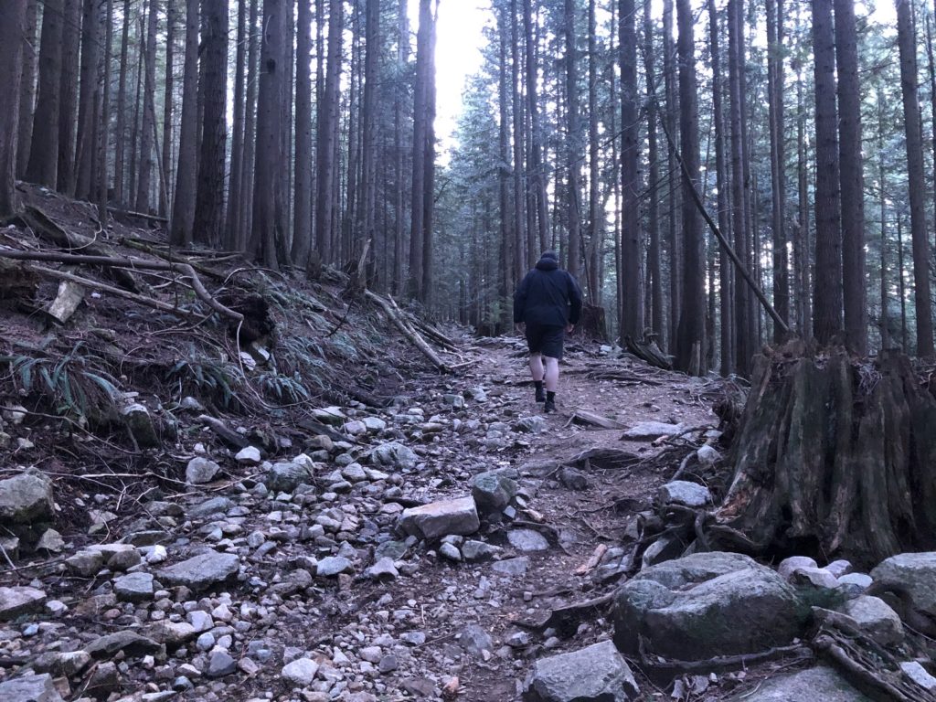
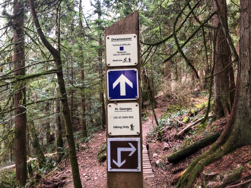
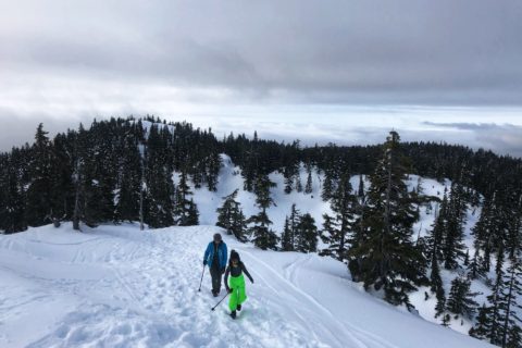
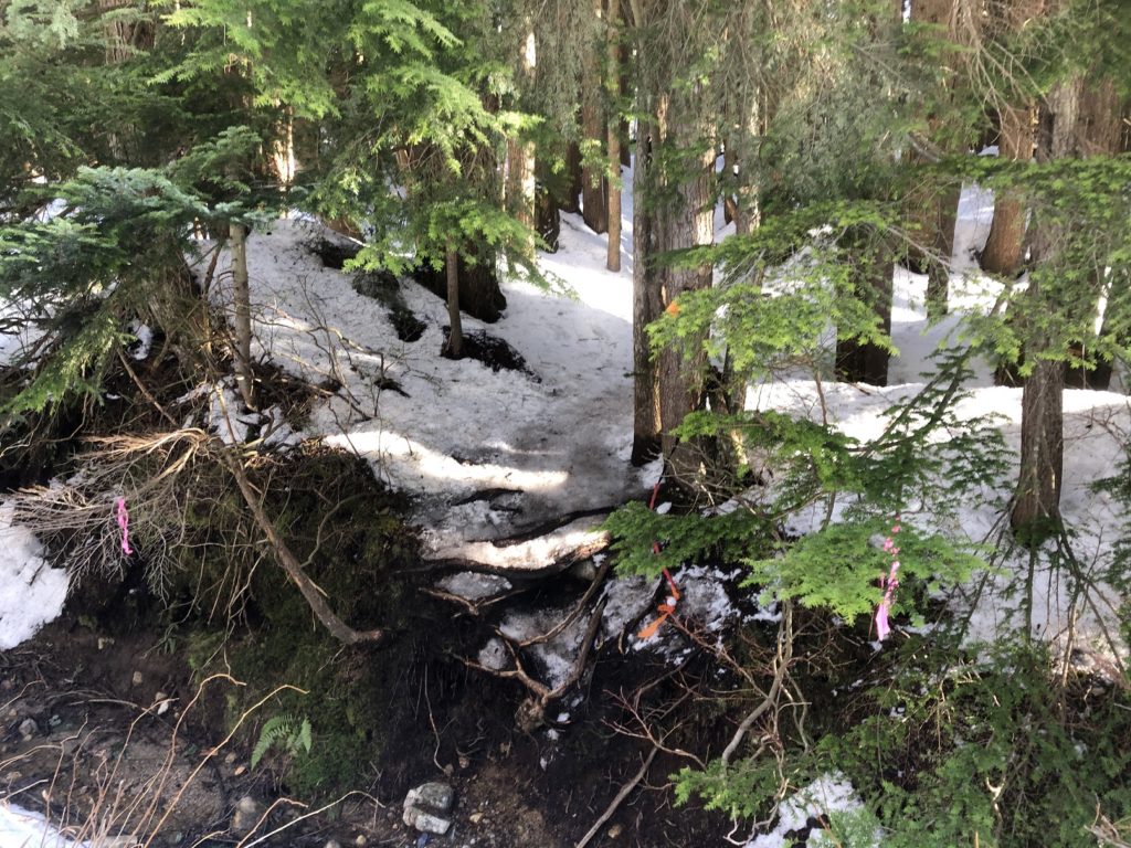
We took the Skid Road-Dreamweaver-St. Georges trail combination to connect to Mountain Highway. Around forty minutes into the hike, there was consistent snow on the ground. I put on my microspikes just before we started on the Per Gynt Trail.
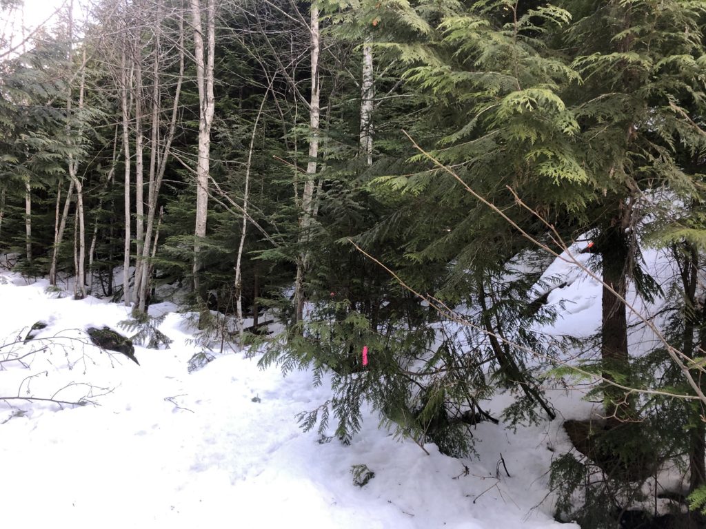
The trail is easy to follow with the orange markers. Halfawy into the hike, Per Gynt trail crosses the Mountain Highway.
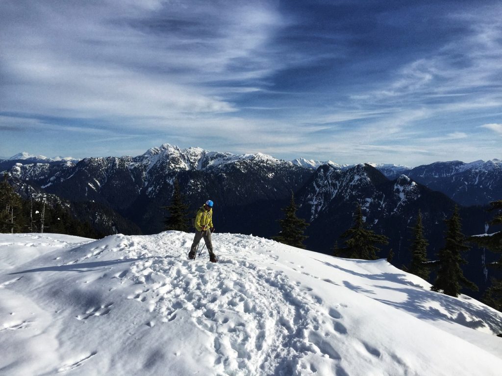
Mount Fromme – Winter Views
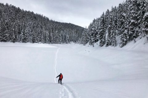
The trail gradually climbs up the mountain, but the last km is relatively steeper. It took about an hour and forty minutes for us to get to Mount Fromme. It was a beautiful day, and we had some great views of the surrounding mountains.


There is a viewpoint just past Mount Fromme, but we would have had to break the trail and we didn’t have our snowshoes and gaiters. So, after a 10-minute break, we made our way down.
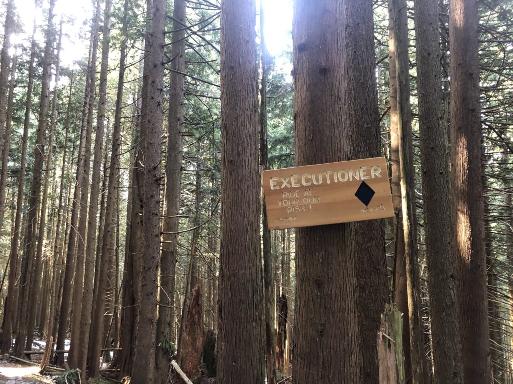
We picked up pace, and at times, we were jogging down the trail. Once down the Per Gynt, we took the Executioner trail and connected with Dreamweaver and St. Georges trail to get back to the car. It took us less than 3 hours to complete the 10.6 km hike with 900+ m of elevation gain/drop.


Except for the parking situation, I enjoyed this hike. It’s not as busy, makes for a great workout and has stunning views of the mountains from the top.
Resources:
Trail Guide: Vancouver Trails | Outdoor Vancouver
GAIA GPS Link
Disclosure: I am not affiliated with any of the above individuals or organizations.
Did you enjoy reading this post? Please subscribe to get weekly updates. Please share your feedback in the comments section below. Thank you!