Last year, I made a solo trip to Panorama Ridge from Taylor Meadows while Kasturi and Kavya stayed close to the campground. Unknowingly, I had turned back from the viewpoint and didn’t go all the way to the highest point on the ridge. So, I was excited to go back and do this hike with Gaurav and Indrani.
My last long hike with Gaurav and Indrani was to Watersprite Lake Hut. Along with the kids, we had spent a weekend at the hut and had a great time.
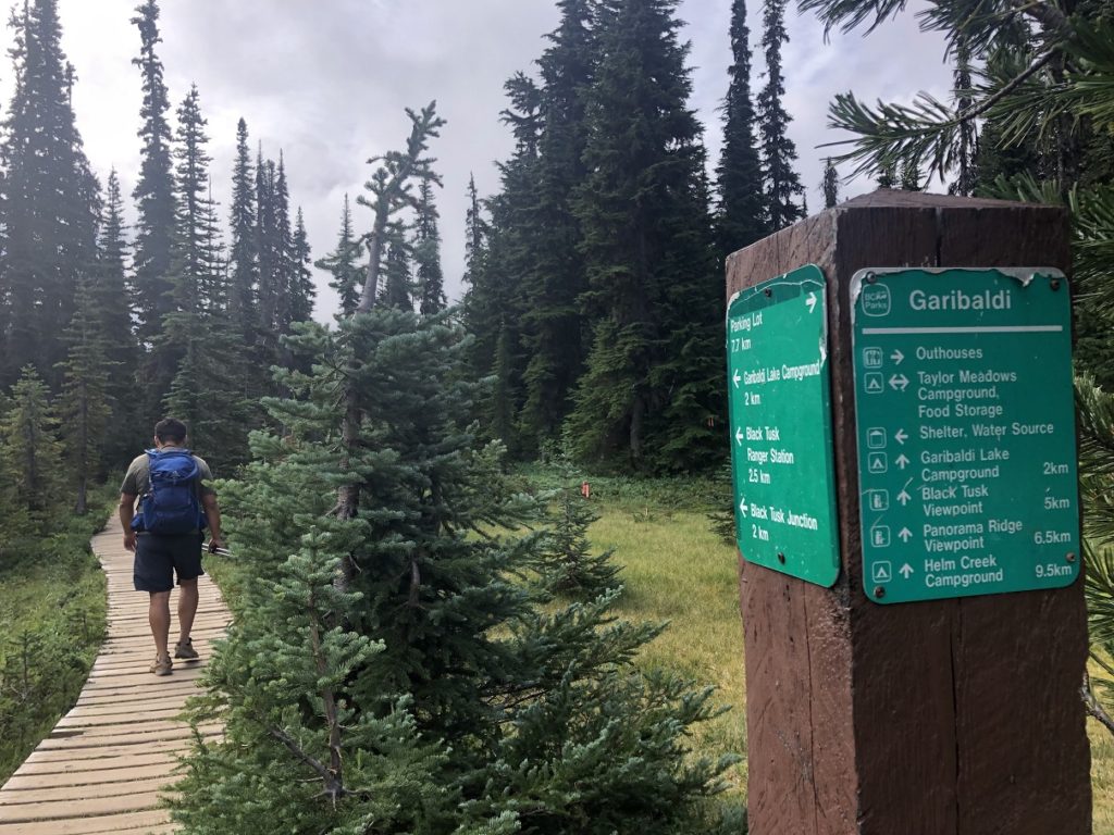
Garibaldi Lake Trail
Panorama Ridge would be our first long hike together, and we decided to leave early. We met at the St. David’s Church around 5:30 am and then carpooled to the Rubble Creek parking lot. Indrani had already booked the day use pass and we left the print out on the dashboard as there was no Ranger checking for the permit early in the morning.
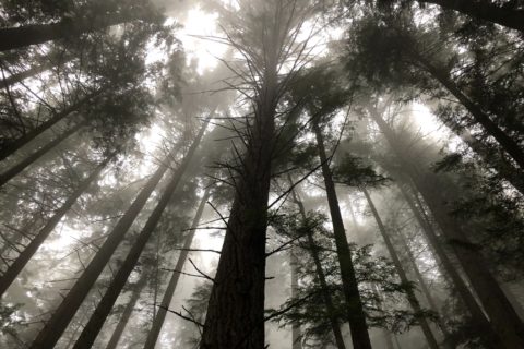
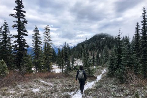
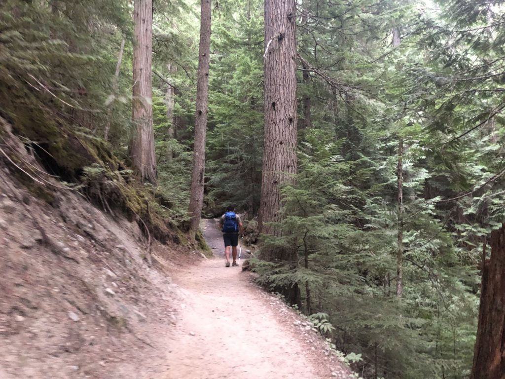
At 7:00 am, we started our hike. The weather was overcast but made for a pleasant hike in cooler conditions. I have hiked this trail in different seasons, so the switchbacks for the first few km didn’t feel mentally exhausting.
The first marker we saw was at 2.5 km from the parking lot. Then there is a 3 and a 4 km marker. Since it was cloudy, we didn’t get a good view of The Barrier on our way up, which is somewhere around 5 km from the parking lot.
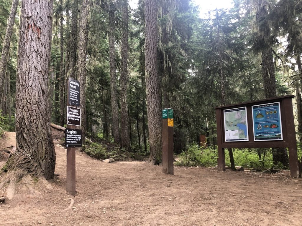
Just before 9 am, we reached the Taylor Meadows and Garibaldi Lake trail junction and took our first break. So far, we had covered 6 km with about 770 m vertical in under two hours.
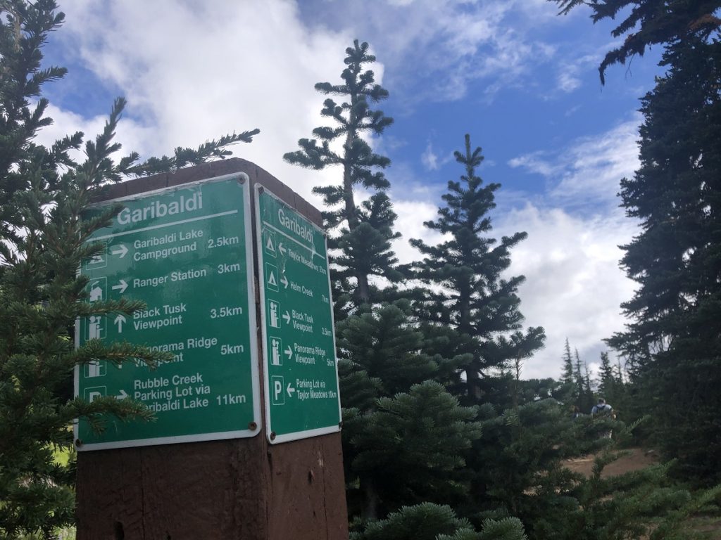
Panorama Ridge via Taylor Meadows
It was a short 1.5 km hike from the junction to the Taylor Meadows campground.
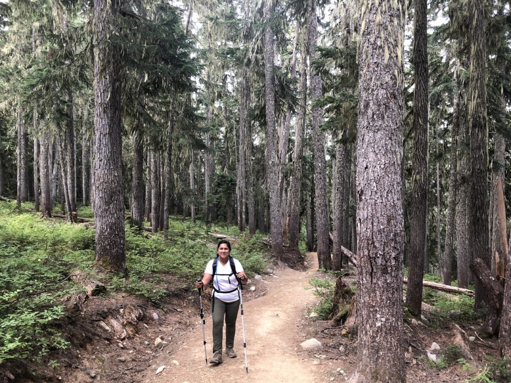
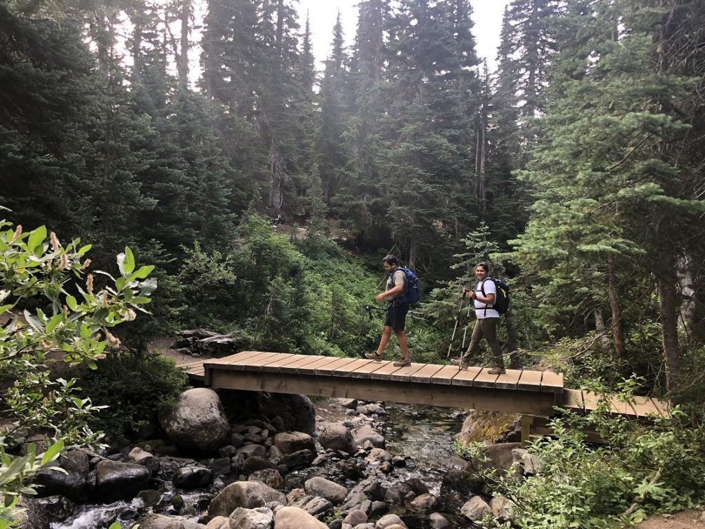
We continued on the boardwalk and soon passed Taylor Creek. On the next section of the trail, there are several junctions, and they are well marked.
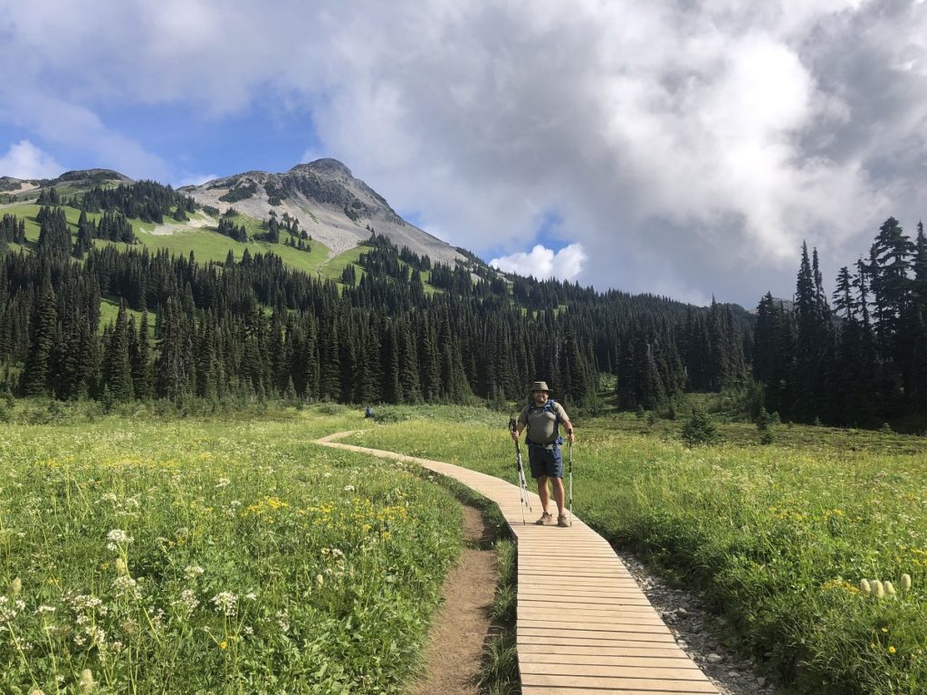
We kept going straight on the relatively flat trail. At around 10 am, we were at the boardwalk amid the wildflowers, one of my favourite spots on the trail. The wildflowers were not at their peak, but still, the meadows were beautiful.
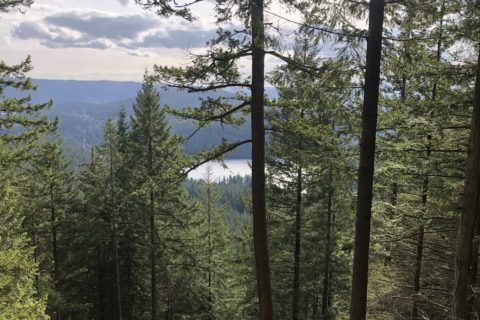
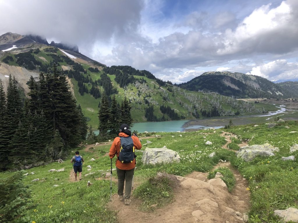
As we continued our hike, we passed several lakes – Mimulus, Black Tusk and Helm Creek Lake.
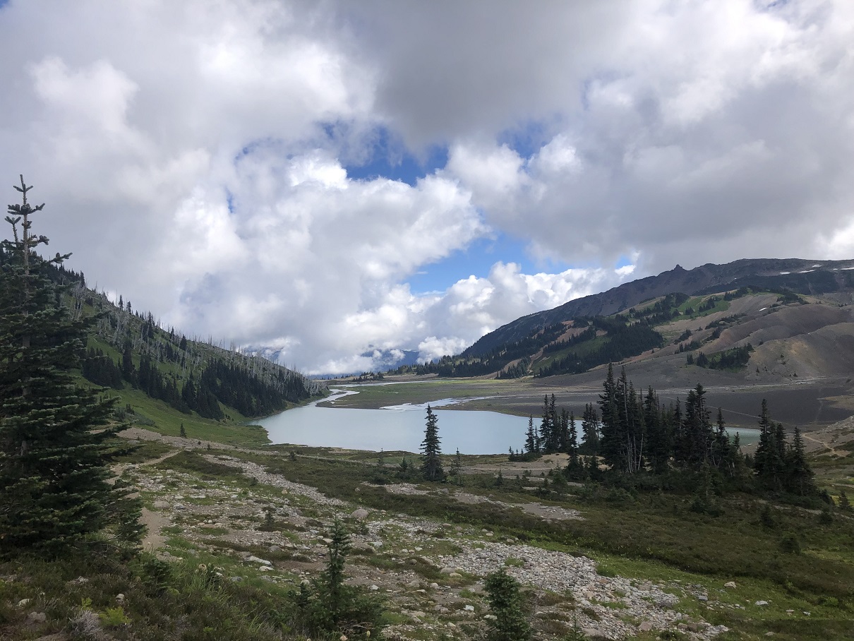
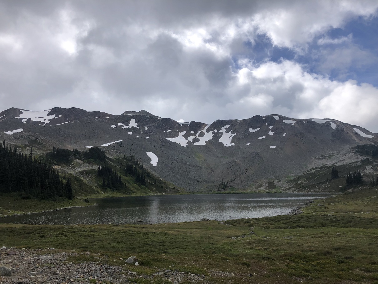
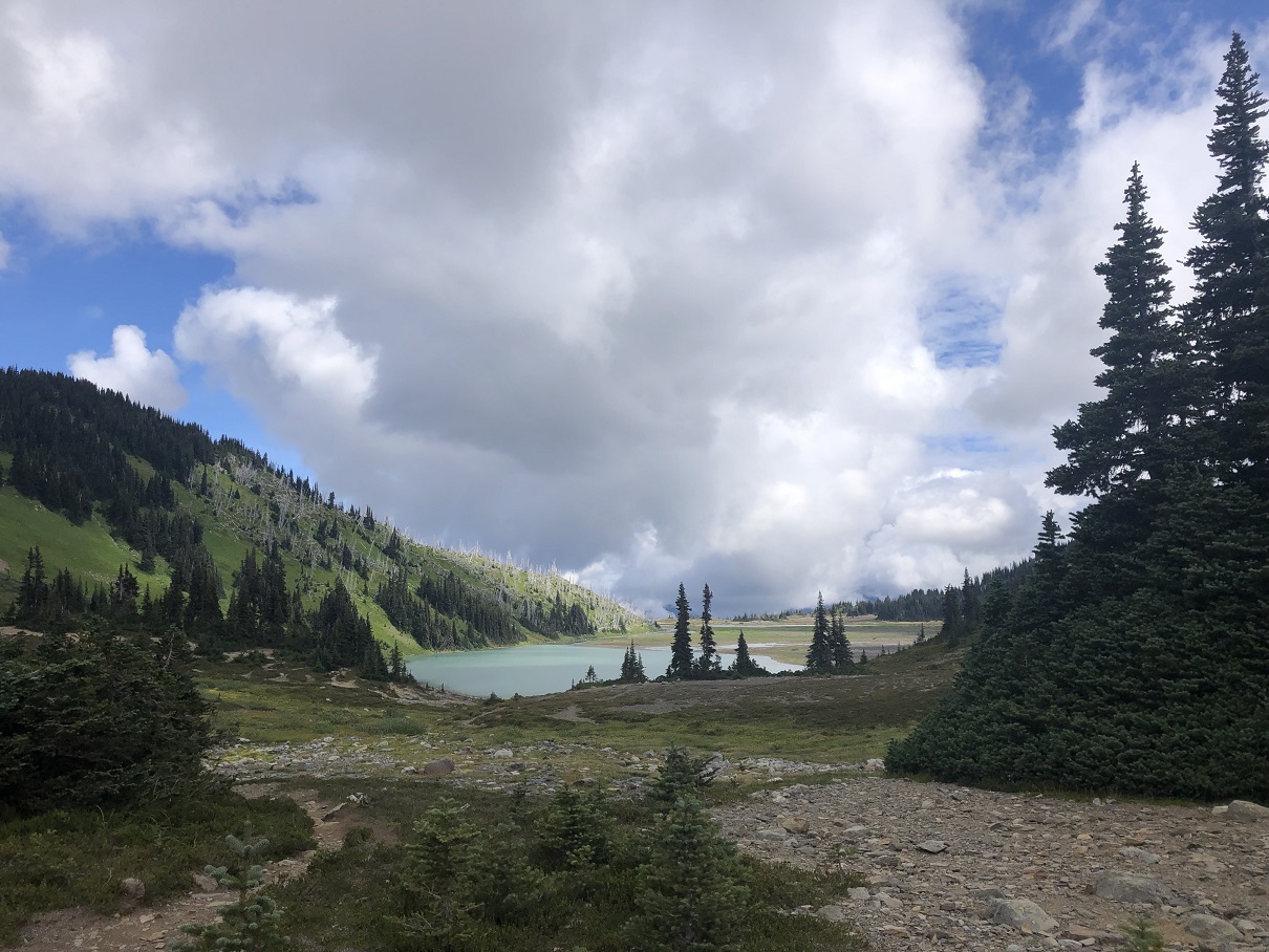
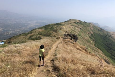
Soon we were on the ridge above the treeline. Looking back, we had a partial but beautiful view of Black Tusk.
The trail is well-worn and easy to follow. We were now seeing more people on the trail as well.
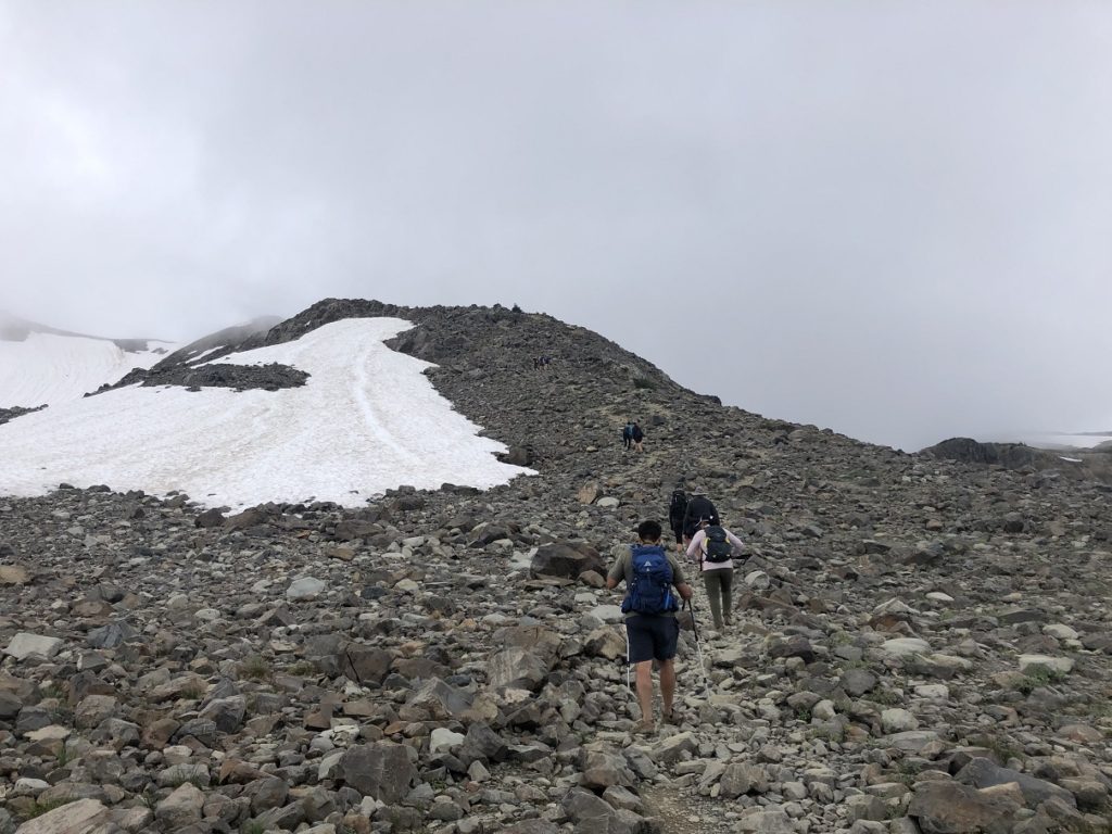
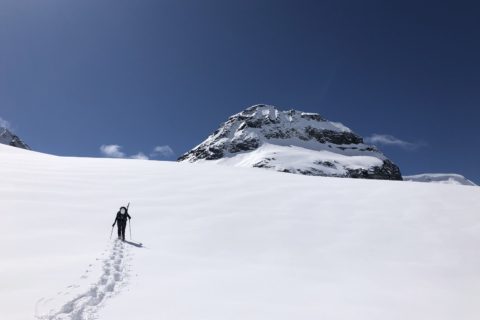
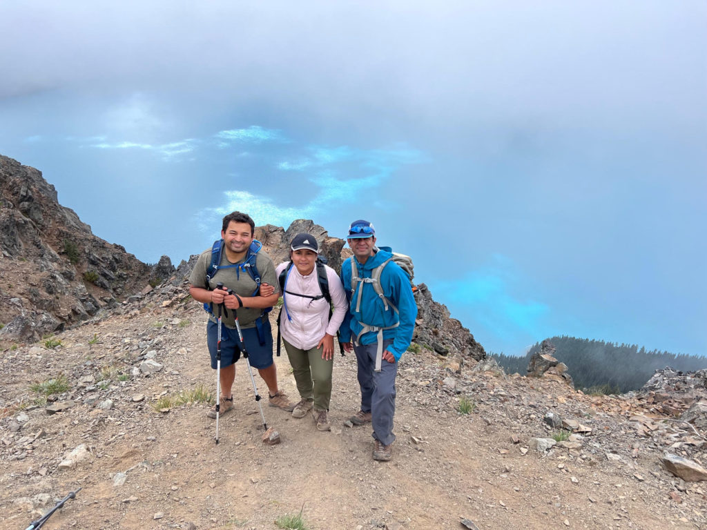
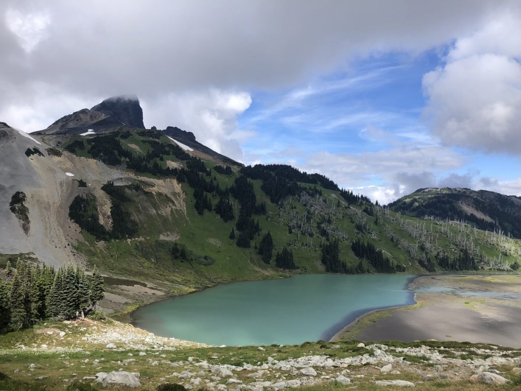
Finally, around 12:30 pm, we reached the Panorama Ridge viewpoint. Garibaldi Lake was covered, but the clouds started clearing about 10-15 minutes later.
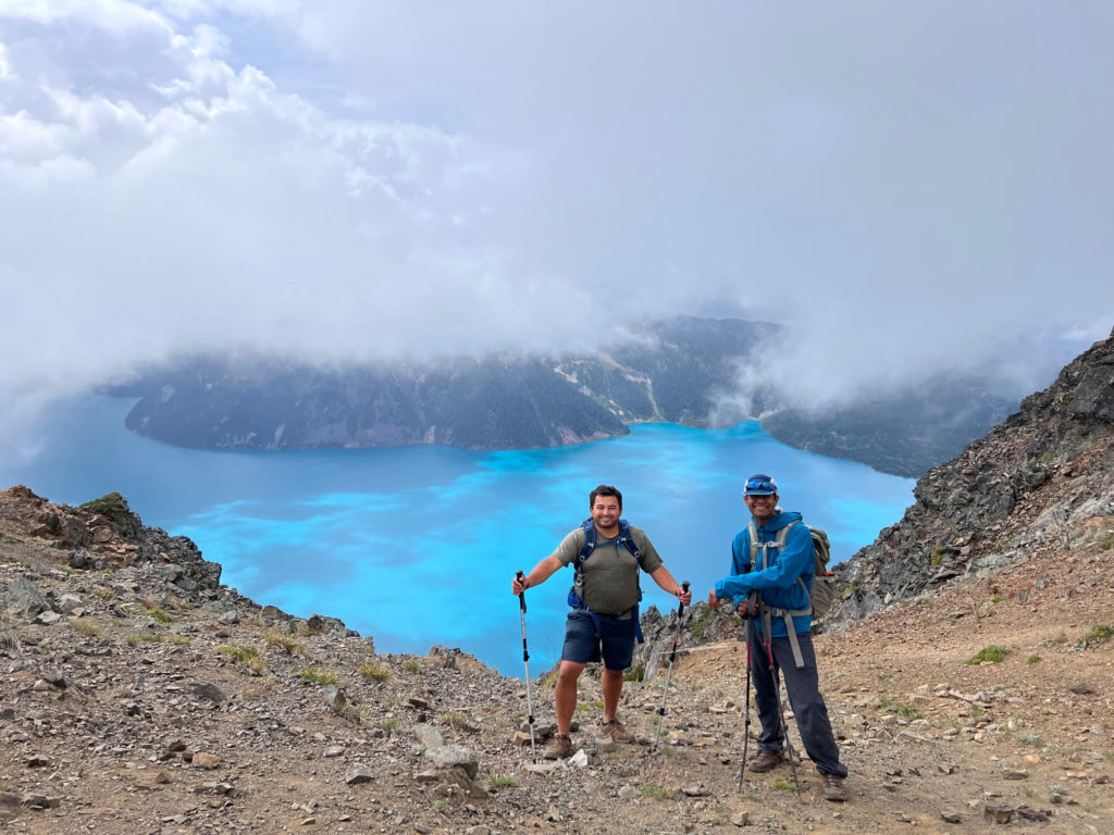
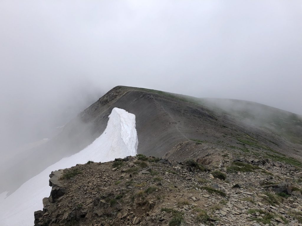
After taking a few pictures, we made our way to the highest point on the ridge. The trail drops slightly from the viewpoint and climbs again to the highest point at 2133 m.
Descent
After a long break, we started our descent. We had initially thought about heading back via Garibaldi Lake. But considering the flooding situation at the lake and the time, we retraced our steps to the Rubble Creek parking lot.
We were back at the parking lot by 5:15 pm. The round trip was about 30 km with 1664 m cumulative elevation gain and took about 10 hours and fifteen minutes. It was Gaurav and Indrani’s first long hike in years and both did really well.
Territory Acknowledgement
I would like to acknowledge that this trip took place on the unceded territory of the Coast Salish peoples, including the territories of the St’át’imc (Stat-lee-um), Skwxwú7mesh (Squamish), and Líl̓wat Nations. I commit to learning about Indigenous peoples and issues and making reconciliation an ongoing effort.
Source: Native-Land Pronunciation Guide: First-Nations.info
Resources:
First Nations: St’át’imc | Skwxwú7mesh | Líl̓wat
Garibaldi Provincial Park: BC Parks Website
Weather Forecast: Yr.No | Spot WX | Windy
Leave a Trip Plan: AdventureSmart
Disclosure: The links I have shared in the post and under the Resources section are not Affiliate Links.
Did you enjoy reading this post? Please subscribe to get weekly updates. Please share your feedback in the comments section below. Thank you!