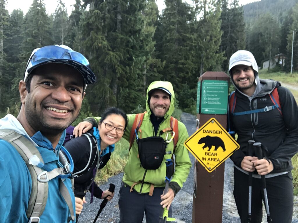
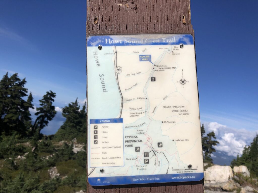
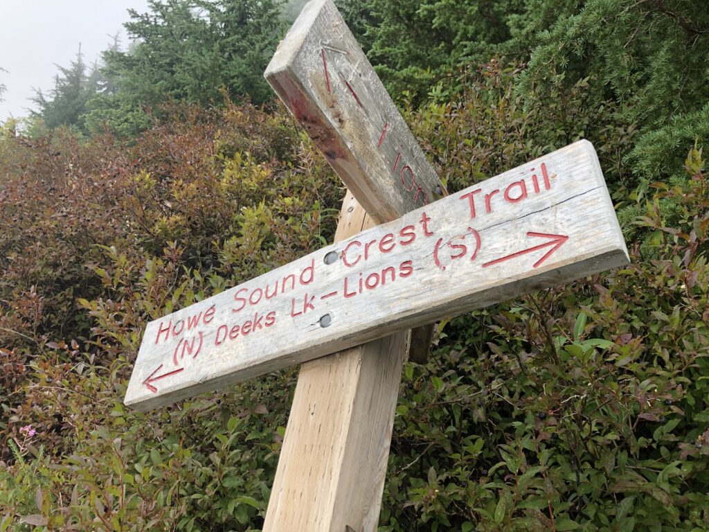
Howe Sound Crest Trail (HSCT) is one of the classic hikes on the North Shore. I wanted to do this hike last year, but it didn’t work out. Finally, things aligned this year, and on September 5, I did this hike with Ji-Seon, Dylan and Oudi.
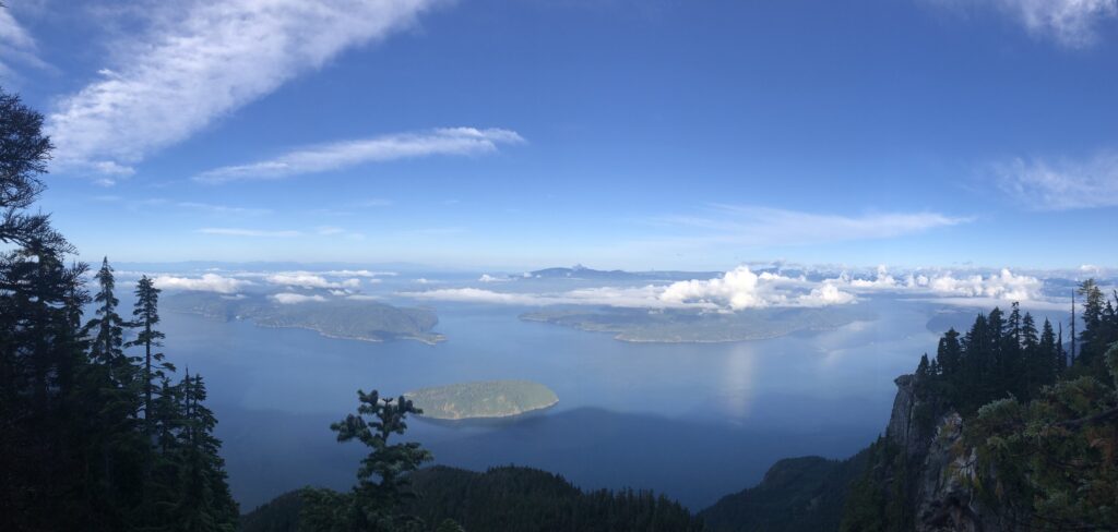
We dropped off one car at the Portea Cove Lookout trailhead and then drove in another car to Cypress Mountain. The gates at Cypress Mountain would close after 8 pm, so we parked in Parking Lot 3A as the parking lots close to the trailhead won’t be accessible.
We made our way to the trailhead past the Cypress Creek Lodge in front of the Eagle Express chairlift. Howe Sound Crest Trail trailhead is the same as the trailhead for Bowen Lookout, Black Mountain and a few other trails in the area. Around 6:45 am, we started our hike.
St. Mark’s Summit
I first hiked to St. Mark’s Summit in October 2020. Another time, I had done part of the hike when I went up Christmas Gully with Scott. So I was familiar with the trail.
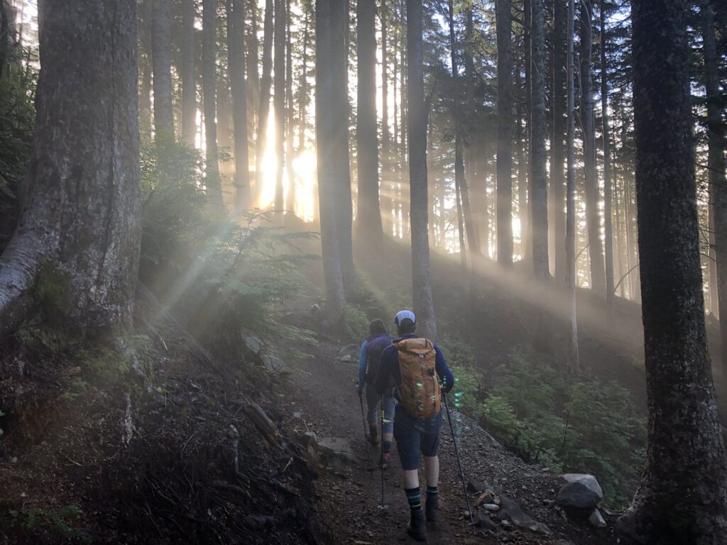
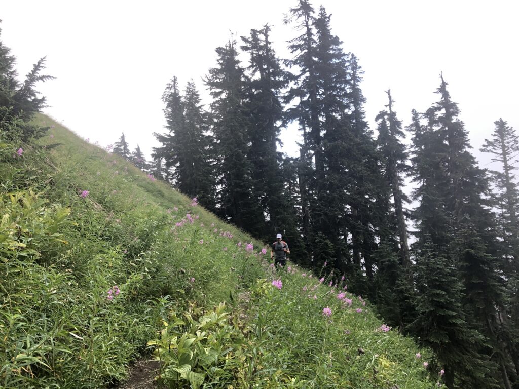
I was surprised to see a lot of improvements (boardwalk, stairs, etc.) on the last section of the hike to St. Mark’s Summit. It took us about an hour and forty minutes to arrive at the summit.
After a short break, we continued our hike to Unnecessary Mountain.
Unnecessary Mountain
The trail drops past St. Mark’s Summit and climbs back to the South Peak of Unnecessary Mountain. It was a teaser of what to expect in drop and climb sections for the rest of the day.
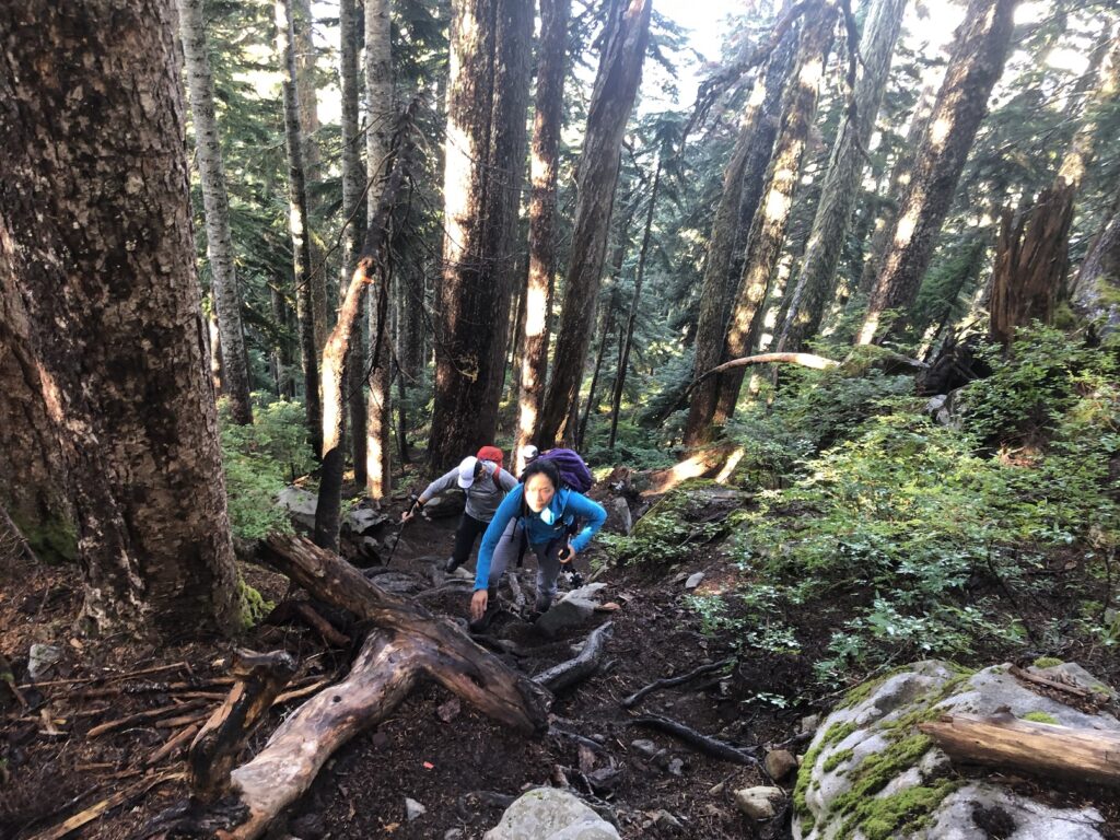
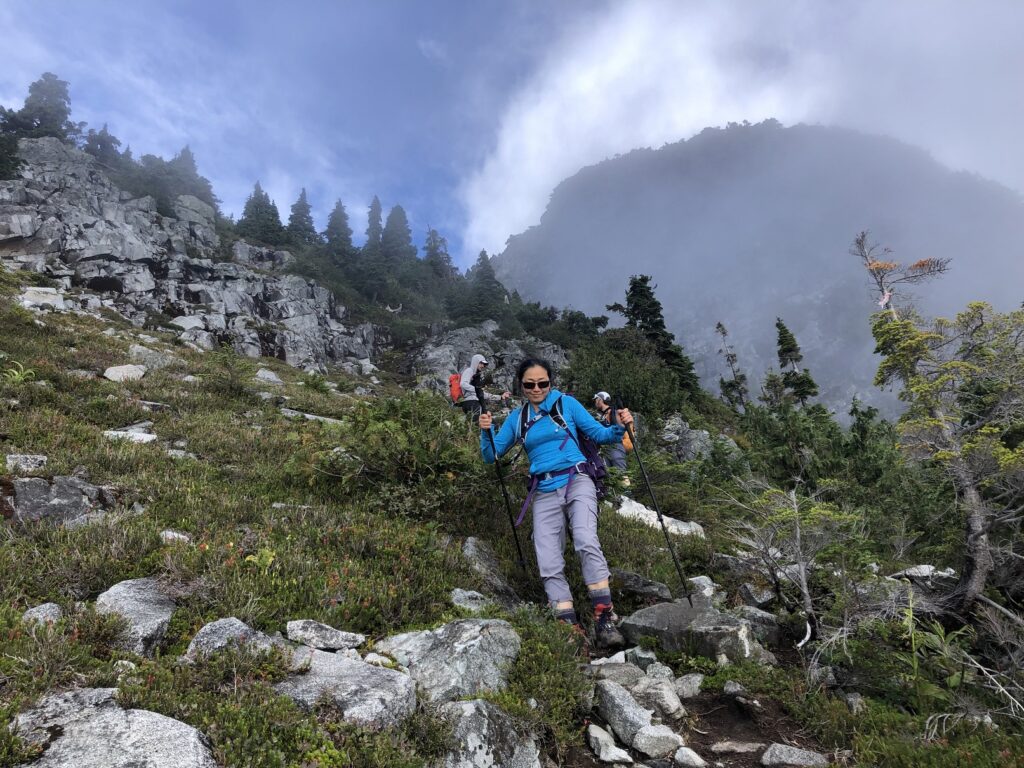
It was a steep climb to the South Peak of Unnecessary Mountain (1548 m), and the trail was rugged. Closer to South Peak, we saw a black bear on the trail.
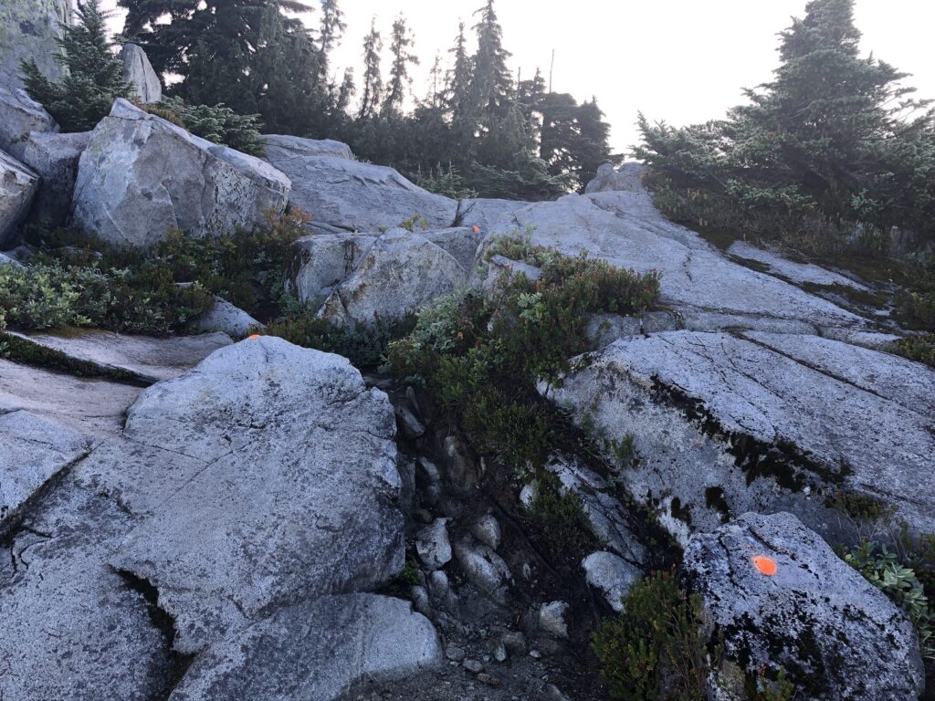
There were just too many orange markers on the trail at one point. Some are just a couple of feet apart. Thankfully this didn’t continue beyond South Peak.
Around 10 am, we reached South Peak and took our first snack break.
It was a short hike from South Peak to North Peak of Unnecessary Mountain.
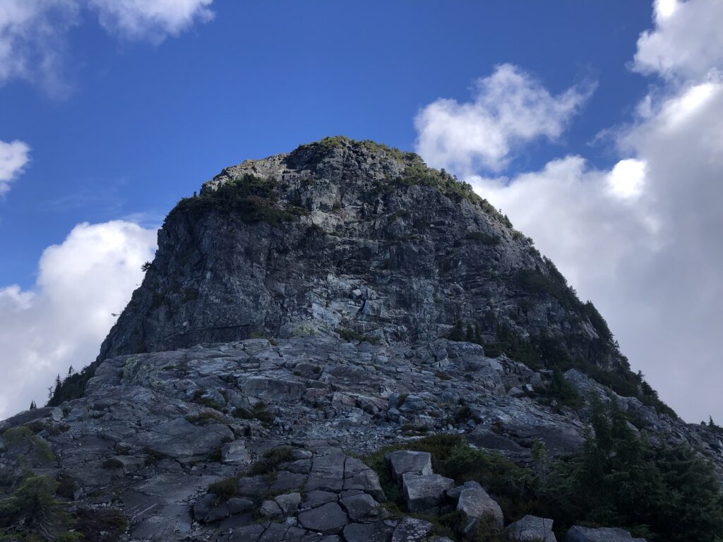
West Lion
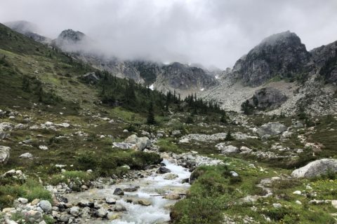
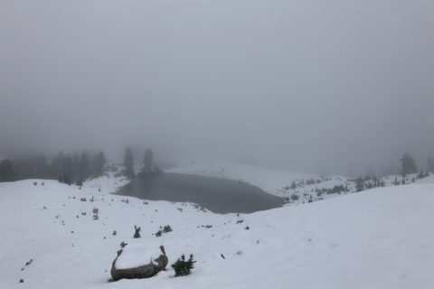
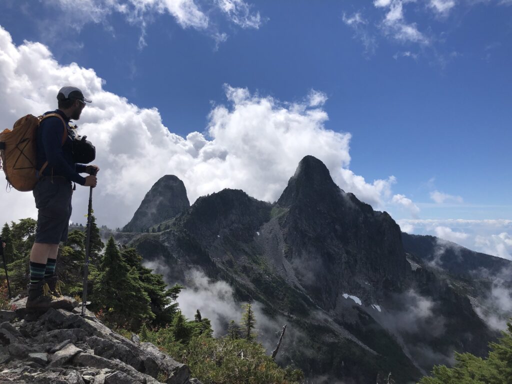
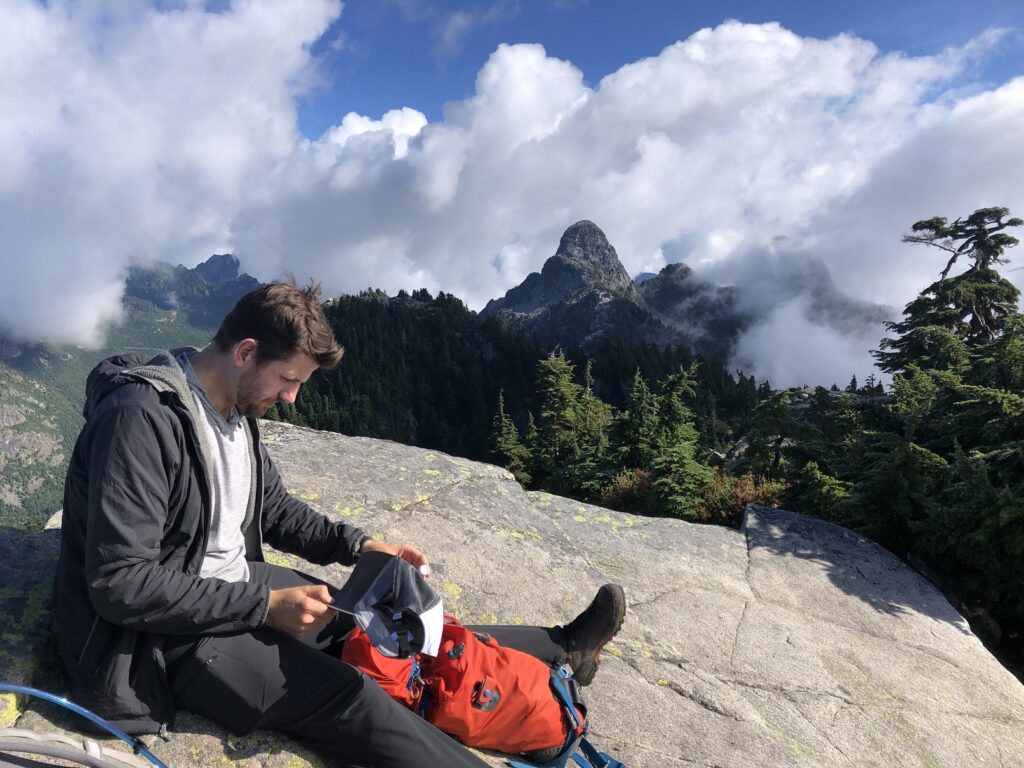
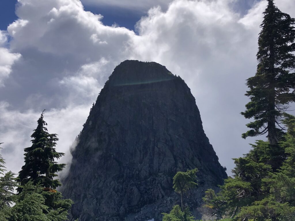
The views were limited due to clouds, but as we dropped down from the North Peak of Unnecessary Mountain, we had a good view of the trail leading to West Lion.
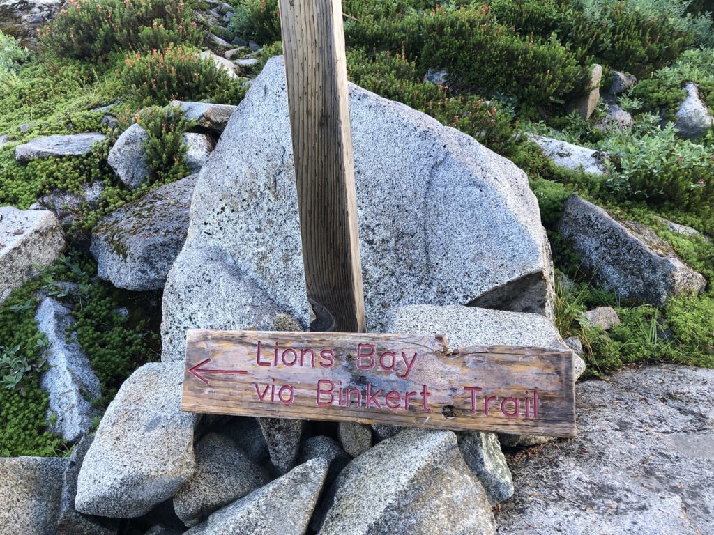
As we made our way to West Lion, we passed the junction with Binkert Trail from Lions Bay.
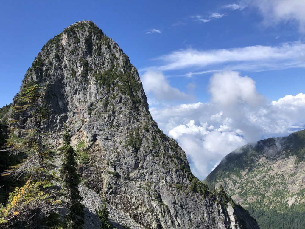
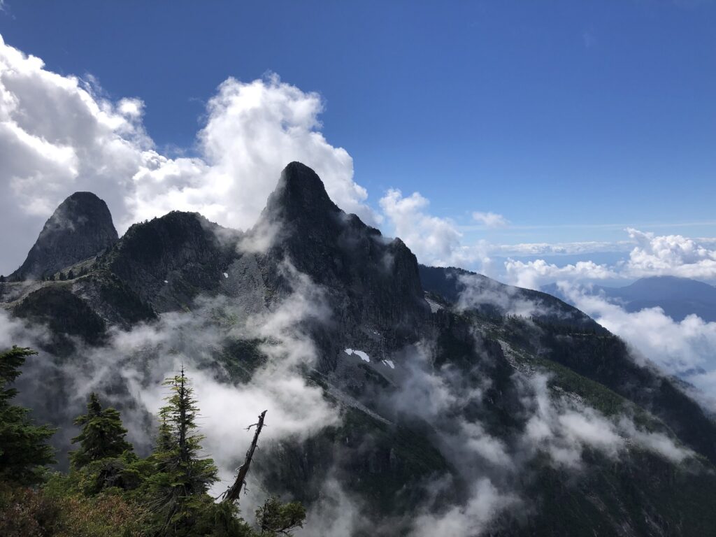
Around 11:20 am, we were at the base of the West Lion. I had scrambled up to the West Lion summit almost two years back. Given the long day ahead, we decided to stay on the trail.
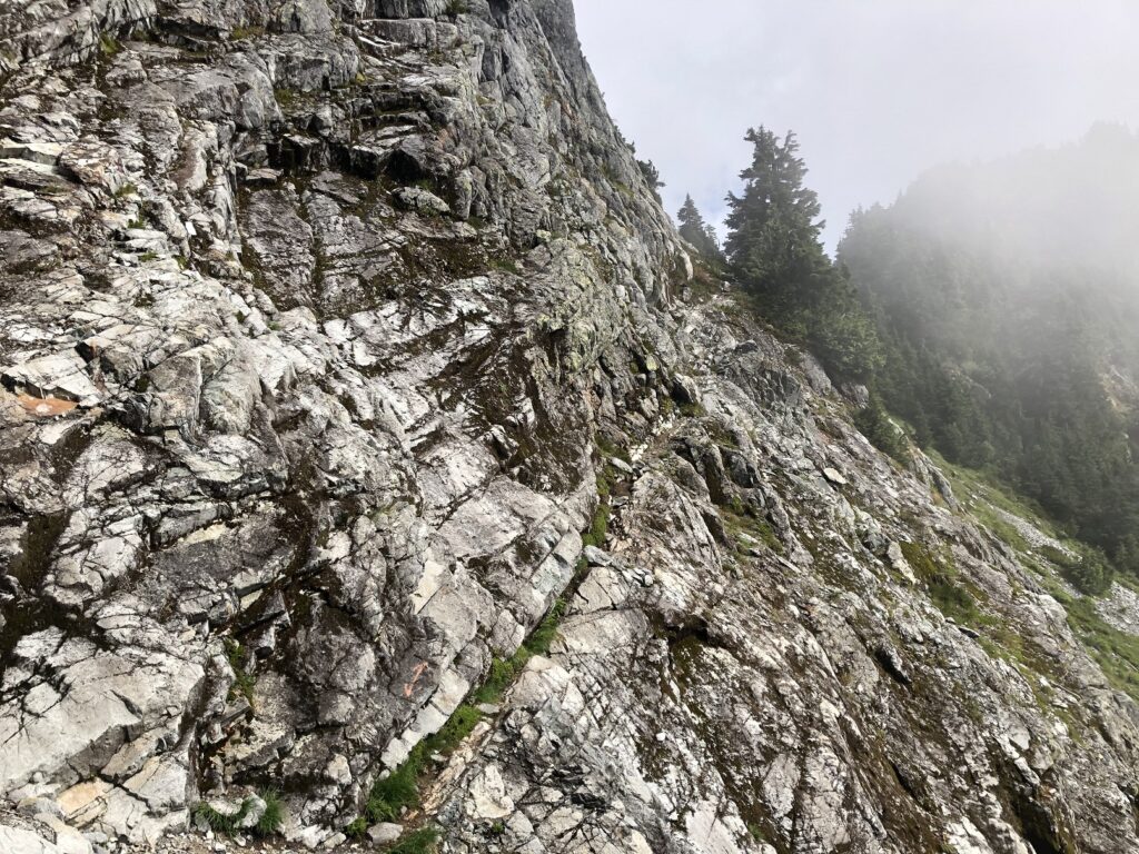
The Howe Sound Crest Trail descends to the right even before you get down to the notch at the base of West Lion. After a few minutes, we had to traverse the East side of the West Lion.
It was narrow in some places and would be challenging in wet weather, but we didn’t have any issues getting to the col between West Lion and Thomas Peak.
As we continued our hike, we had terrific views of the Lions.
James and David Peak
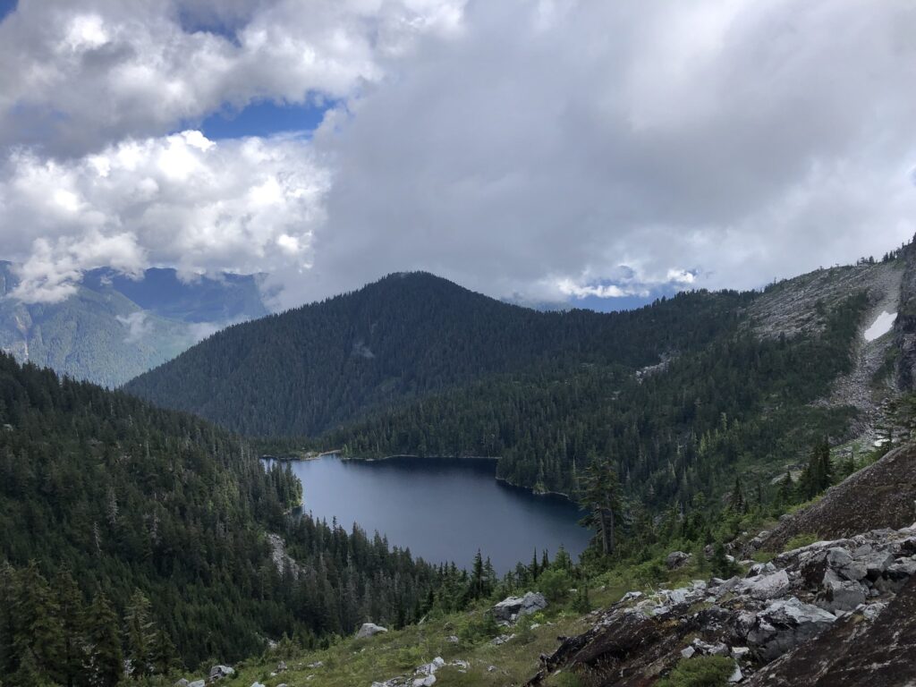
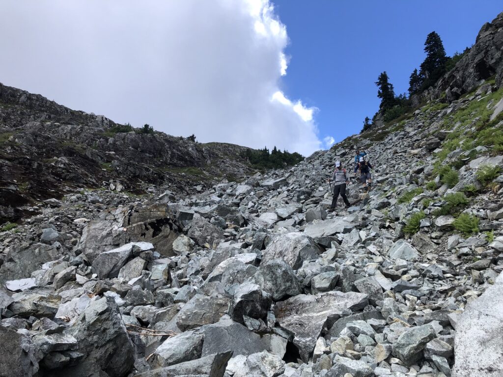
Past Thomas Peak, the trail drops down with a good view of Enchantment Lake. The trail here goes through a boulder field with pink ribbons marking the trail.
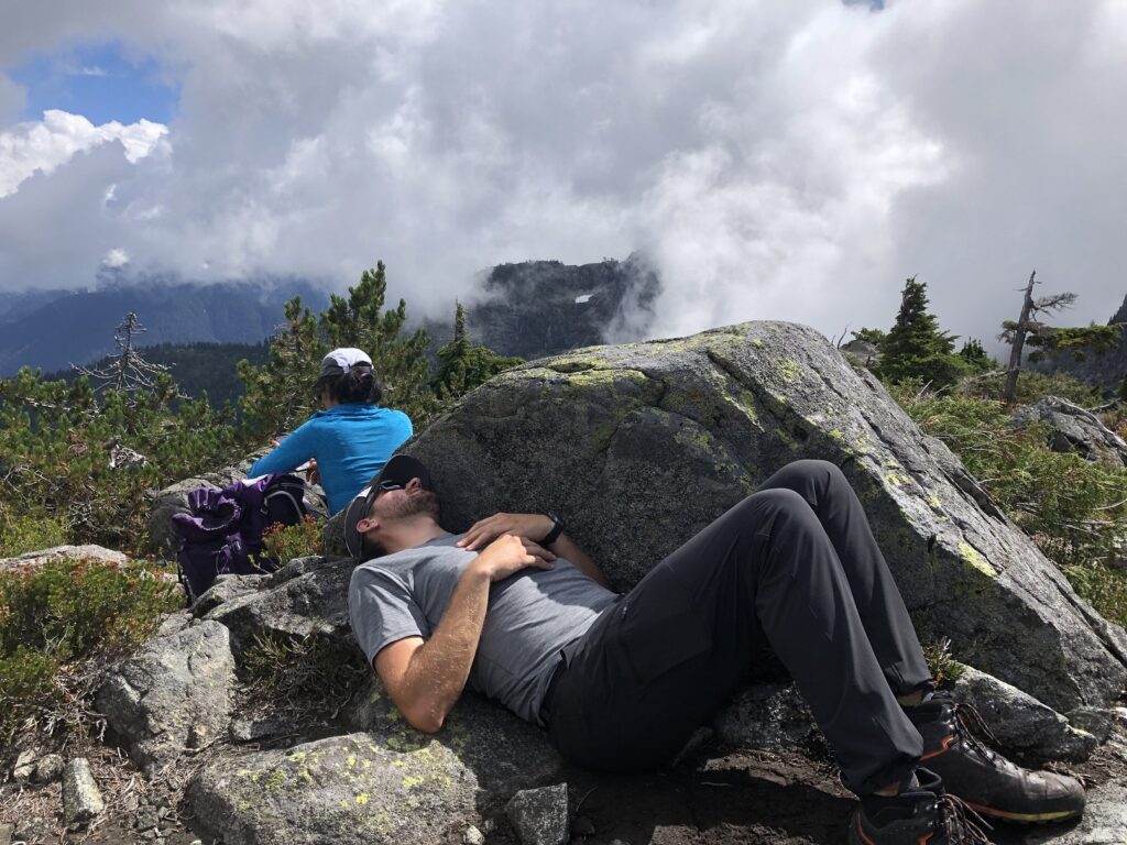
About six and a half hours into the hike, we reached James Peak and took another extended break.
It was getting hot now, and even a brief rest in the shade felt good.
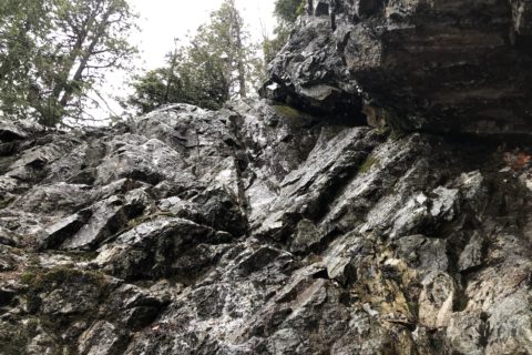
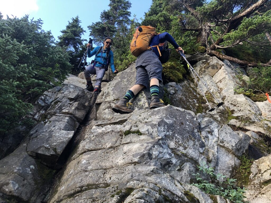
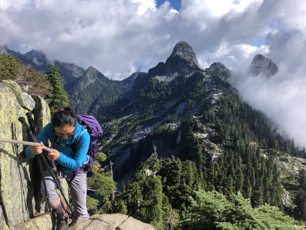
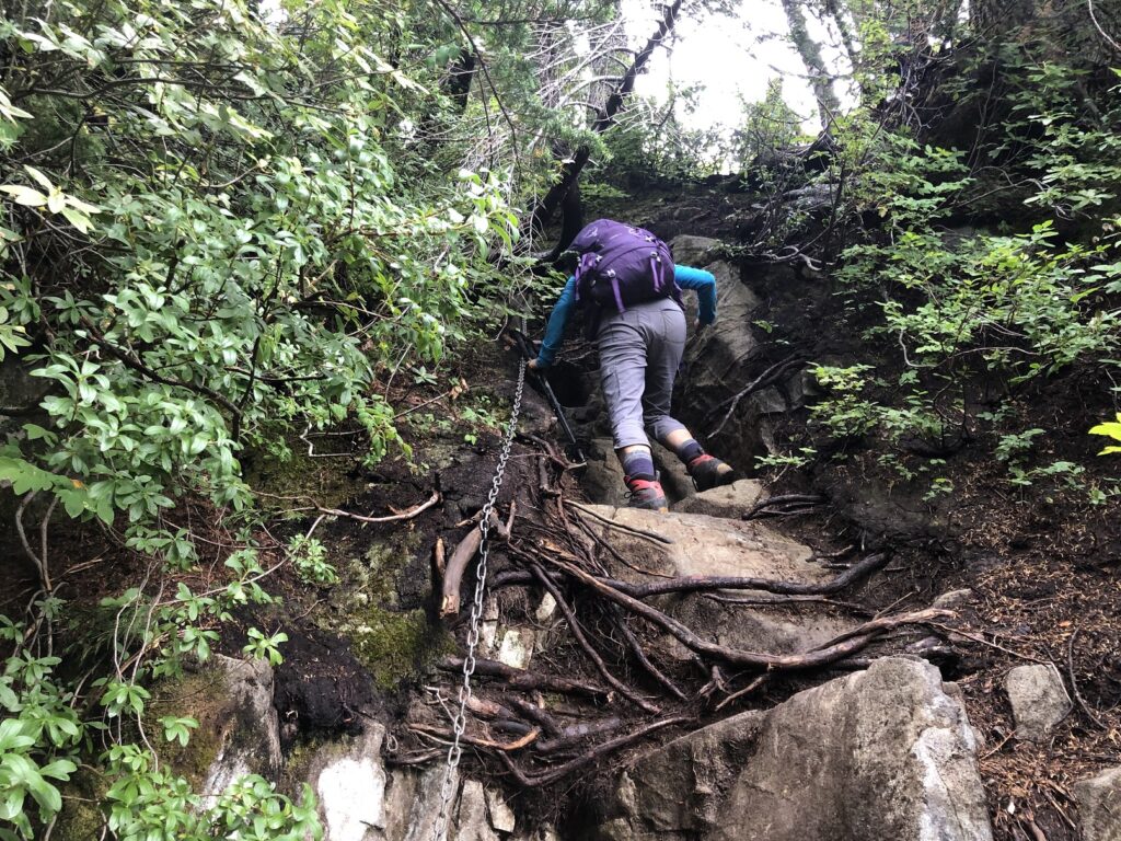
After a 15-minute break, we continued our hike toward David Peak. There is an exposed section but well protected by rope/chains for support.

From James Peak, it took us about 30 minutes to reach David Peak.
Magnesia Meadows
The trail now was much steeper and slippery in some sections. The steepest sections had chains for support.
Half an hour past David’s peak, we came to a junction of Howe Sound Crest Trail and a trail from Lions Bay.
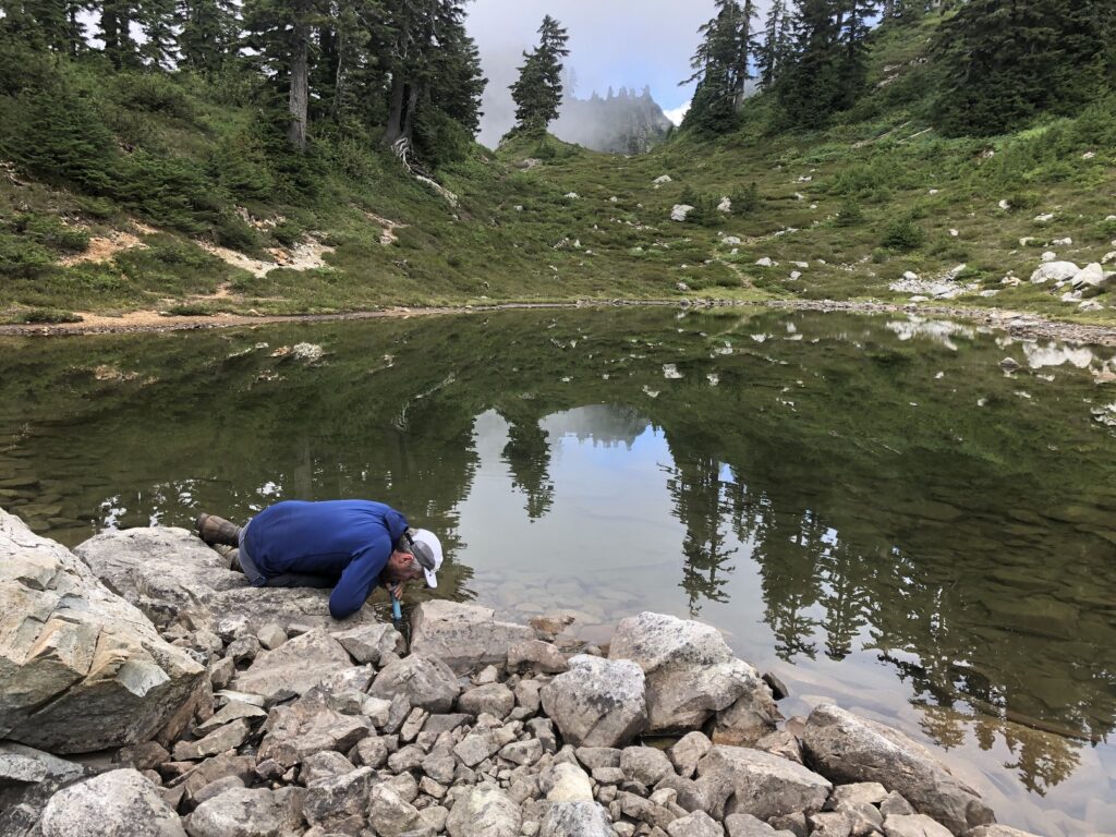
Around 3 pm, we reached Magnesia Meadows and did a quick water check. A water filter here would be handy as the water was stagnant and didn’t look drinkable.


Brunswick and Deeks Lake
Past Magnesia Meadows, the elevation gain was minimal (less than 150 m).
Just past 4 pm, we took another break as we reached the Brunswick Mountain trail junction.
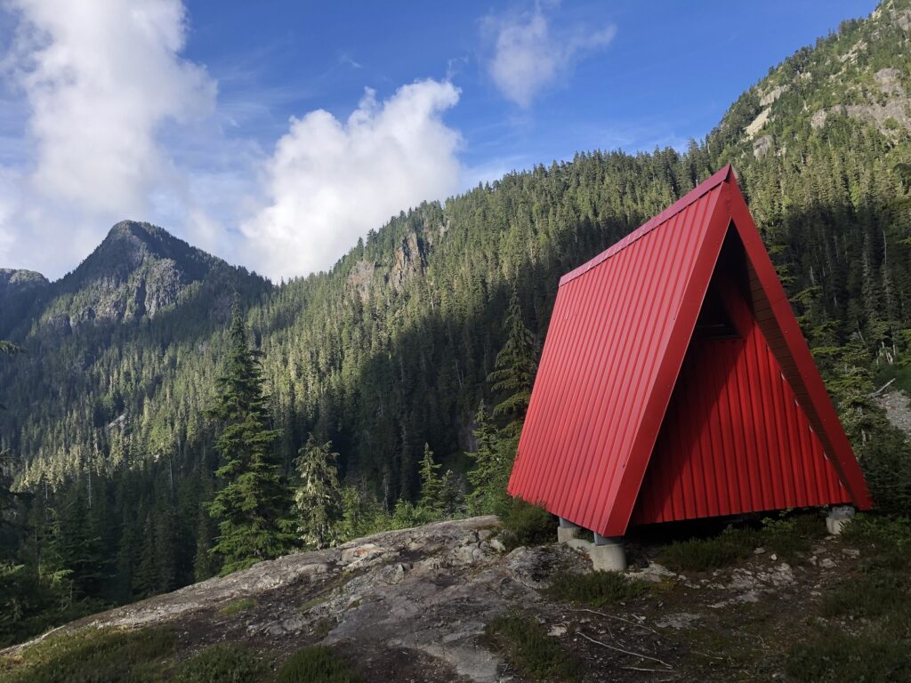
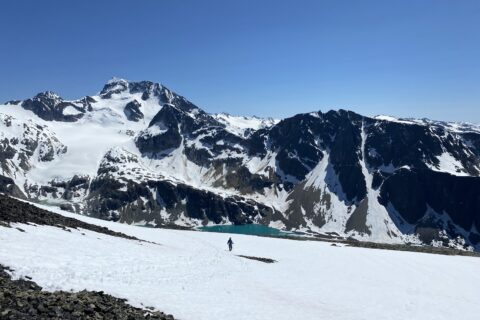
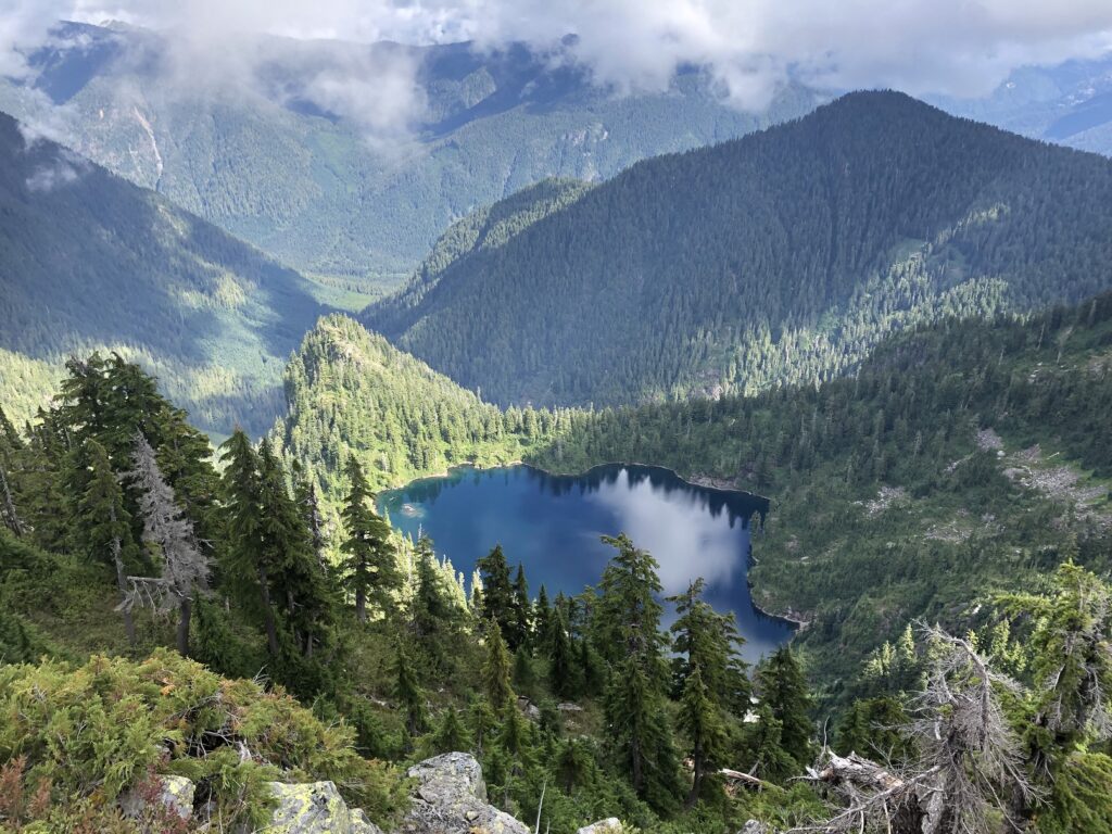
As we got close to Brunswick Lake, we passed the Emergency Shelter. Lower down, we had a clear view of the turquoise Brunswick Lake. It was beautiful.
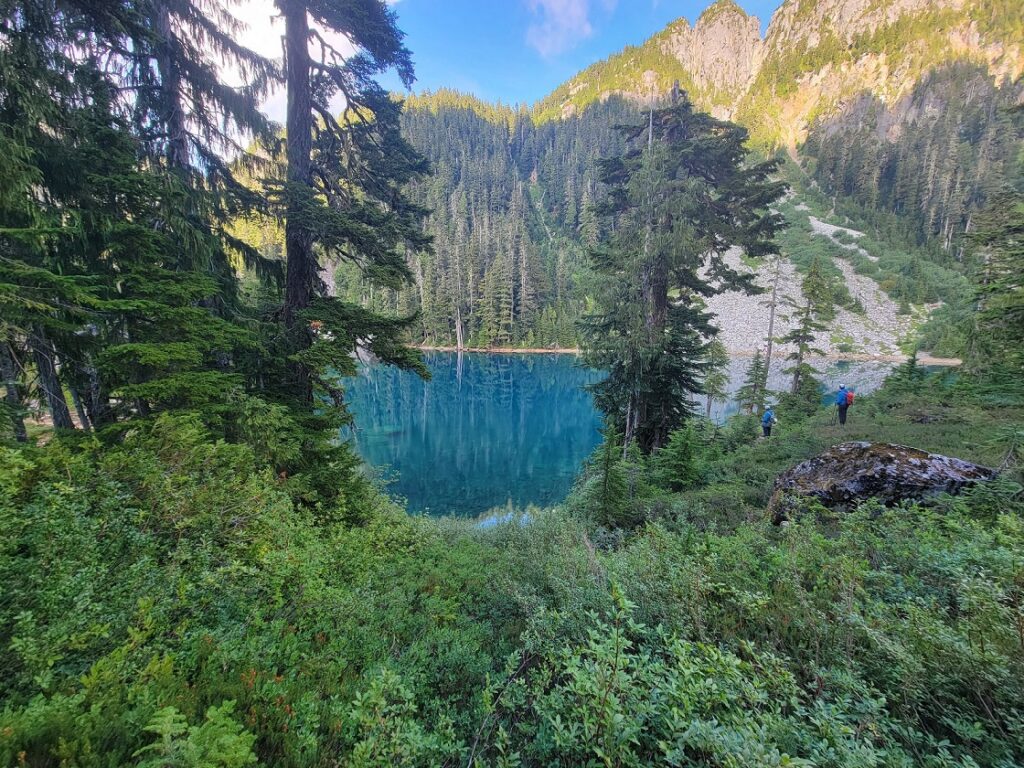
Soon, we were at another lake and thought it was too early for the Deeks lake. We were at the Small Deeks Lake, and it was another half an hour to get to the (Big) Deeks Lake.
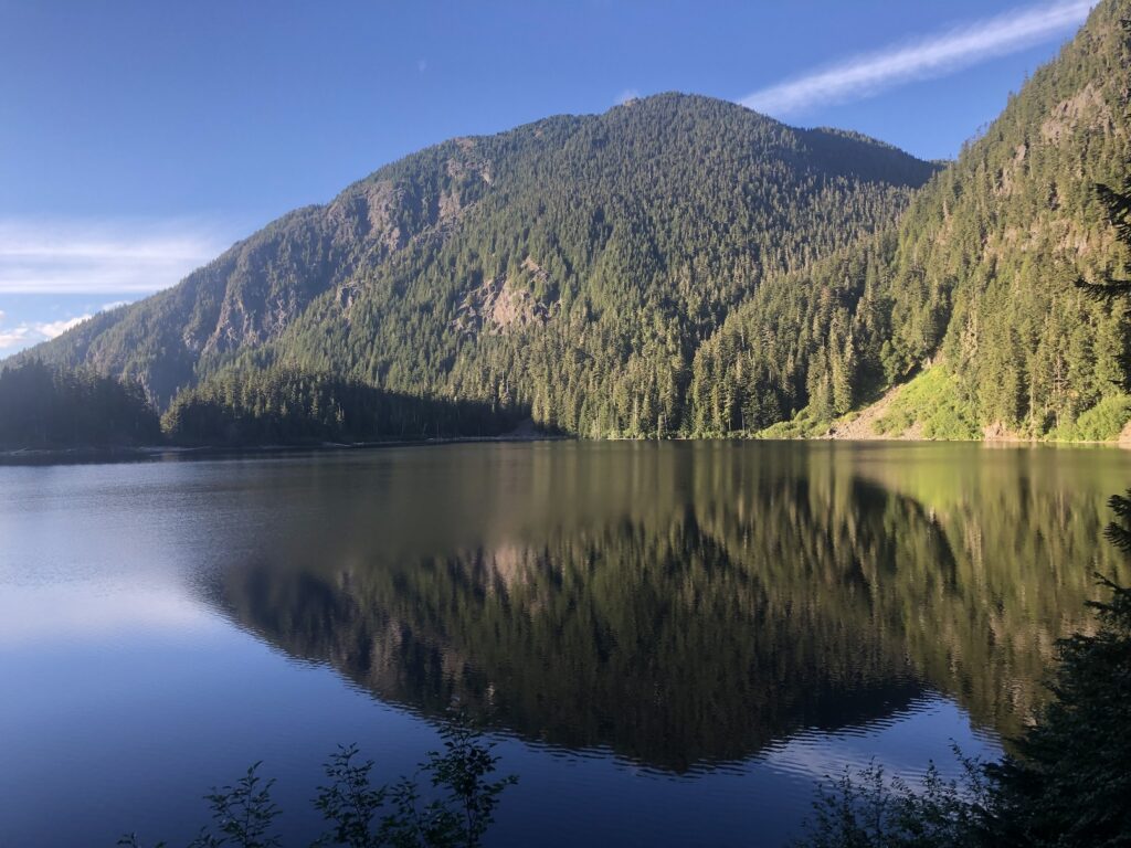
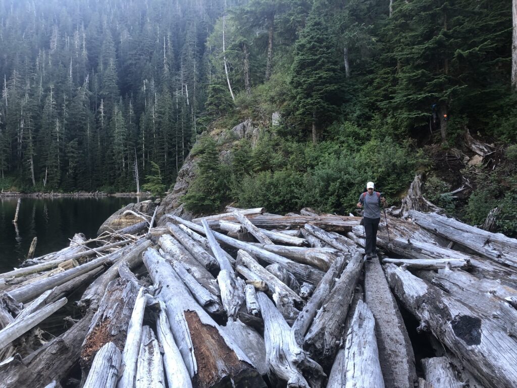
As we made our way along Deeks Lake, the trail dropped down to the lake, and we had to walk over the logs to get back on the trail.
Are we there yet?
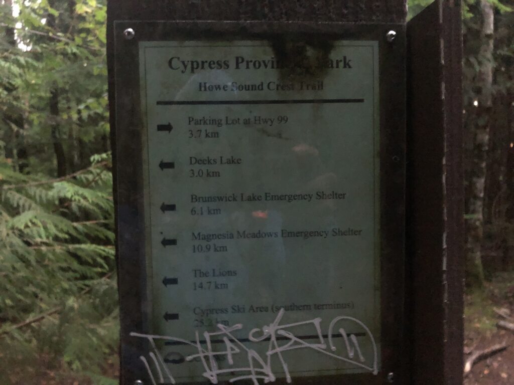
Around 8 pm, we saw a sign indicating that the trailhead (Porteau Cove Lookout) was still 3.7 km away. To be honest, it was mentally exhausting to see this. It was already dark, and I was expecting maybe another 15-20 minute hike to the trailhead.
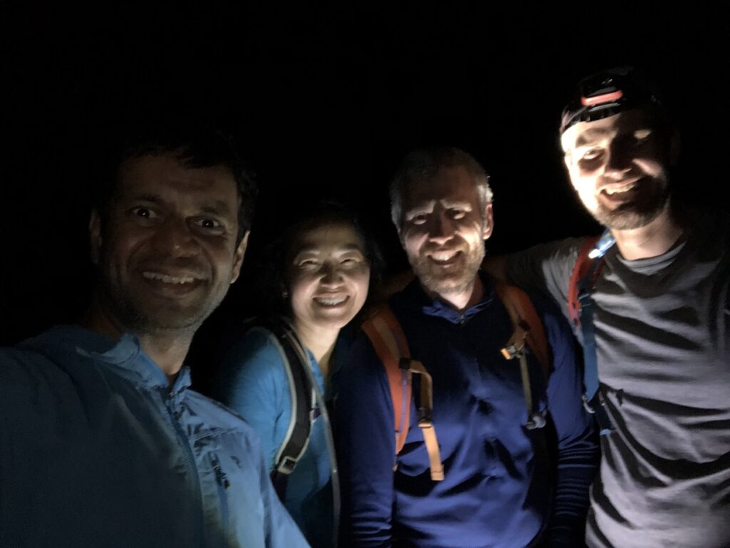
We had our headlamps out now. About a km away from the trailhead, there was a detour due to some trail work. The suffering continued. The detour route brought us close to the Porteau Cove Lookout exit, and we had to walk up the hill for the final 300 m to our car. By the time we reached our car, it was 9:15 pm.
It was about a 29 km hike, with close to 2000 m cumulative elevation gain and 2850 m elevation drop that took us just over 14.5 hours. For the entire trip, my heart rate averaged about 109. About 86% of the hike in Zone 1 or below, i.e. below a heart rate of 133 bpm.
Aerobically, it was not challenging, but physically it was exhausting and was probably one of the most strenuous day hikes I have done. Howe Sound Crest Trail was everything I had read about and much more. I would love to do it again.
Territory Acknowledgement
I would like to acknowledge that this trip took place on the unceded territory of the Coast Salish peoples, including the territories of the xʷməθkwəy̓əm (Musqueam), Skwxwú7mesh (Squamish), Stó:lō (staw-low) and Səl̓ílwətaʔ/Selilwitulh (Tsleil-Waututh) Nations. I commit to learning about Indigenous peoples and issues and making reconciliation an ongoing effort.
Source: Native-Land
Pronunciation Guide: First Nations.info, A Guide to Pronunciation of BC First Nations
Resources:
First Nations Websites: Squamish | Musqueam | Tselil-Waututh | Stó:lō
Cypress: Resort Website | Parking Lot Map
Cypress Provincial Park: BC Parks Website
Trail Guide and GPX: Outdoor Vancouver
Weather Forecast: Yr.No | Spot WX | Windy
Leave a Trip Plan: AdventureSmart
Disclosure: The links I have shared in the post and under the Resources section are not Affiliate Links.
Did you enjoy reading this post? Please subscribe to get weekly updates. Please share your feedback in the comments section below. Thank you!