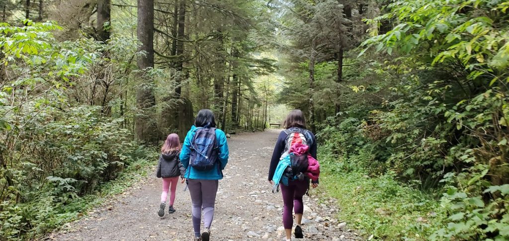
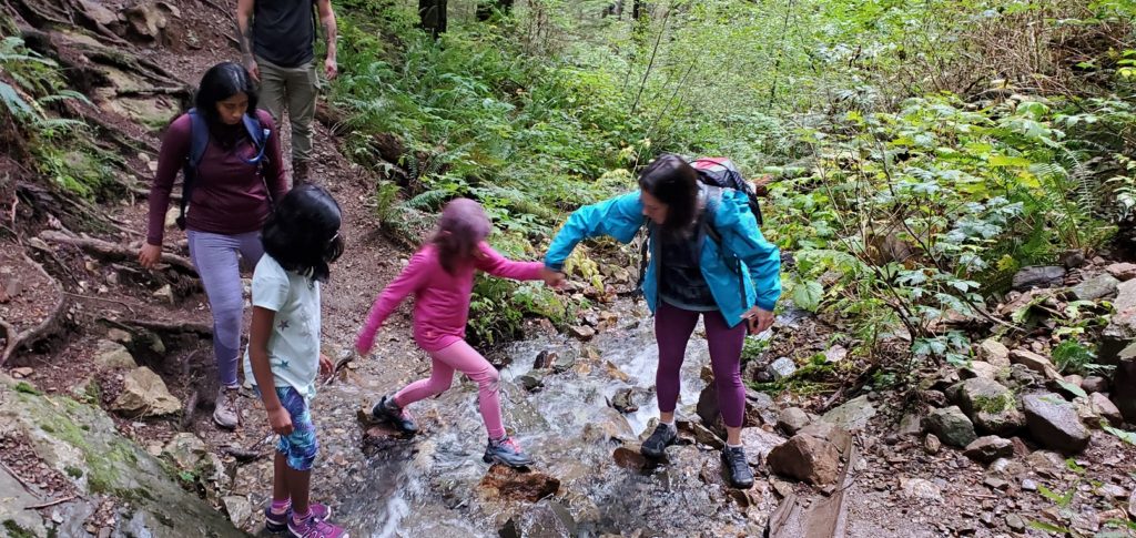
Kasturi had looked up the Norvan Falls hike, and we planned to do this hike in September. But we kept postponing it due to weather and other constraints. Finally, last week we made it happen. Celeste and her younger daughter Keira also joined us for this hike.
Territory Acknowledgement
I would like to acknowledge that the Norvan Falls hike we did is on the unceded territory of the Coast Salish peoples, including the territories of the xʷməθkwəy̓əm (Musqueam), Skwxwú7mesh (Squamish), Stó:lō and Səl̓ílwətaʔ/Selilwitulh (Tsleil-Waututh) Nations. I commit to learning about Indigenous peoples and issues and making reconciliation an ongoing effort.
Lynn Loop Trail
We left home after lunch around 1 pm. Usually, I check Vancouver Trails or Outdoor Vancouver website for directions to the parking lot. This time we just searched for Norvan Falls Trail on Google Maps. It led us to Lillooet Road and eventually nowhere.
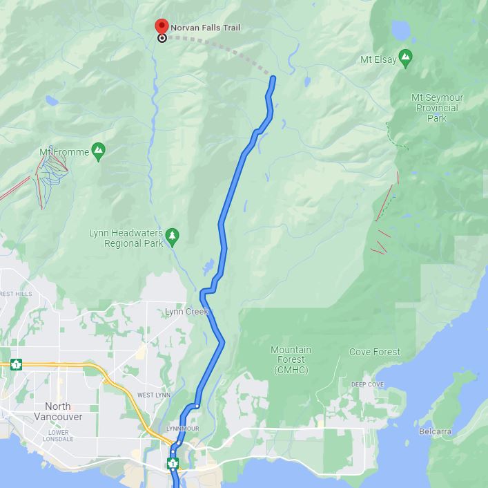
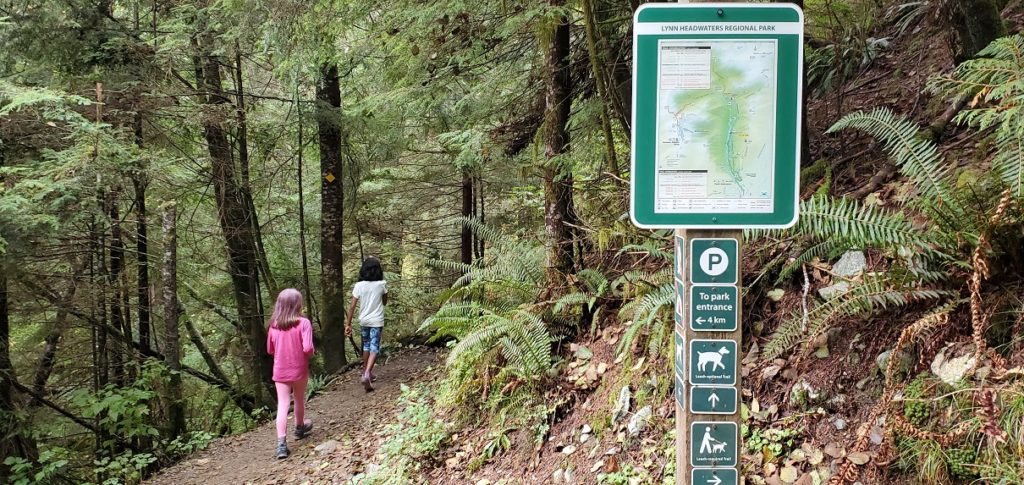
After a scenic tour along Lillooet Road, we finally looked up directions on Outdoor Vancouver. We arrived at the Lynn Headwaters Regional Park around 2 pm. It was a busy afternoon, but luckily we found a parking spot right at the trailhead.
Just past the bridge over Lynn Creek, there is a trail junction. The trail to the right provides access to Lynn Peak, Upper Lynn Loop and Headwaters trail. We went left on the wide lower Lynn Loop trail.
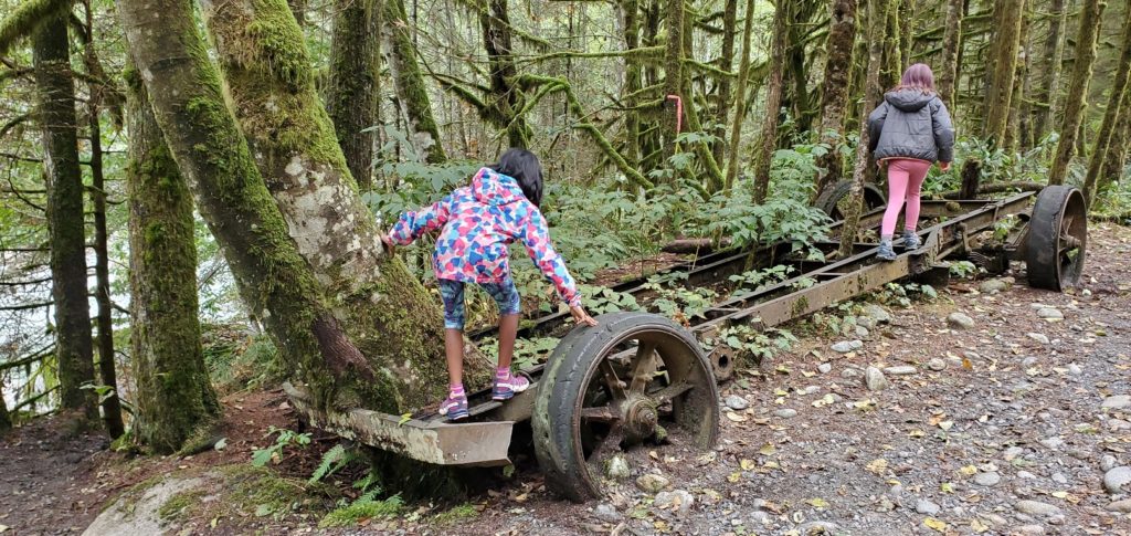
Within a few minutes, we passed a rusted chassis of a truck. It was so old that trees had grown out from its frame. The kids had fun checking out this antique piece.
The trail is well marked, and initially, there are markers every 0.5 km.
Cedars Mill Trail
About 1.8 km into the hike, we were at a junction. The trail going right went up and connected with the Headwaters Trail. Both trails connect ahead and take us to Norvan Falls. We decided to continue straight on the Cedars Mill Trail and take the Headwaters Trail on the way back.
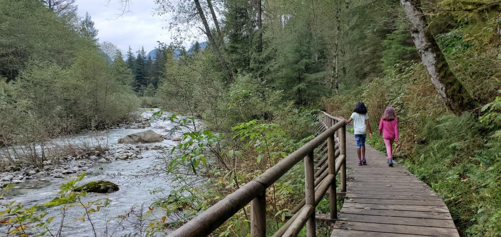
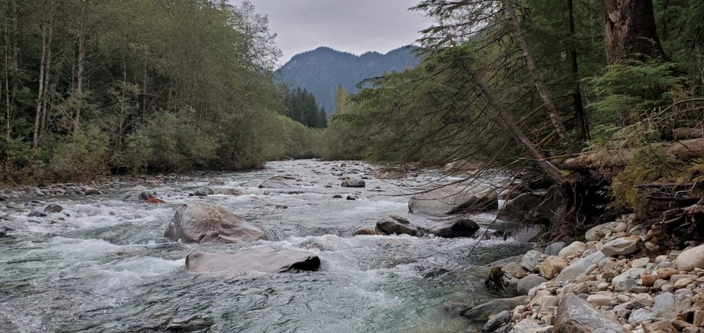
There is a nice boardwalk next to Lynn Creek on Cedars Mill Trail. The trail now was not as wide but still flat and relatively easy.
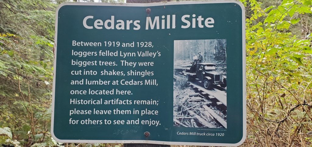
The Cedars Mill Trail is 2.1 km long and connects with the Headwaters Trail at Third Debris Chute.
Headwaters Trail to Norvan Falls
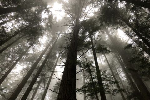
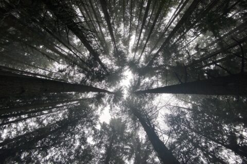
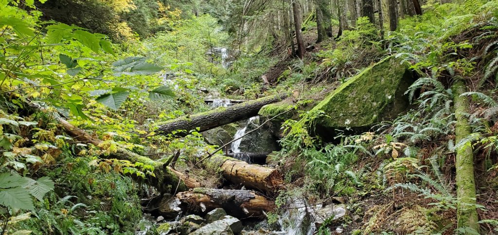
From the Third Debris Chute junction, it is about 3 km to Norvan Falls. From here, the hike gets a bit challenging and even more beautiful.
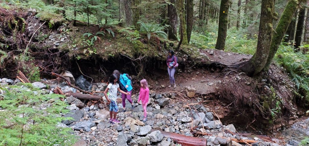
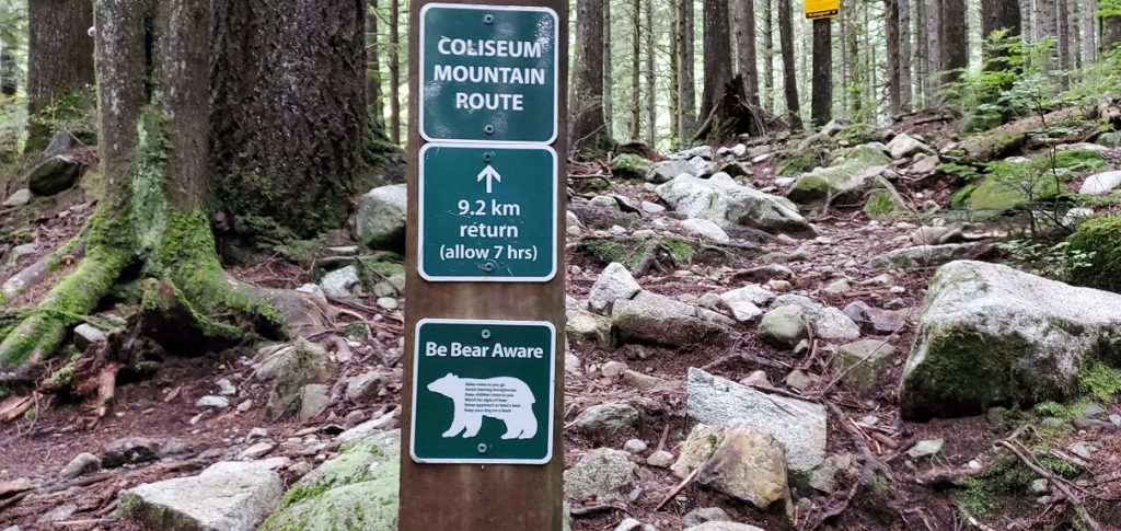
As we got closer to the falls, we passed two more junctions. The first one was with the Coliseum Mountain Route, and the next one was with the Hanes Valley Trail. Both are long and difficult hikes. I hope to come back and do these trails some other day.
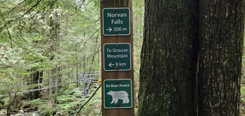
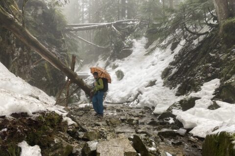
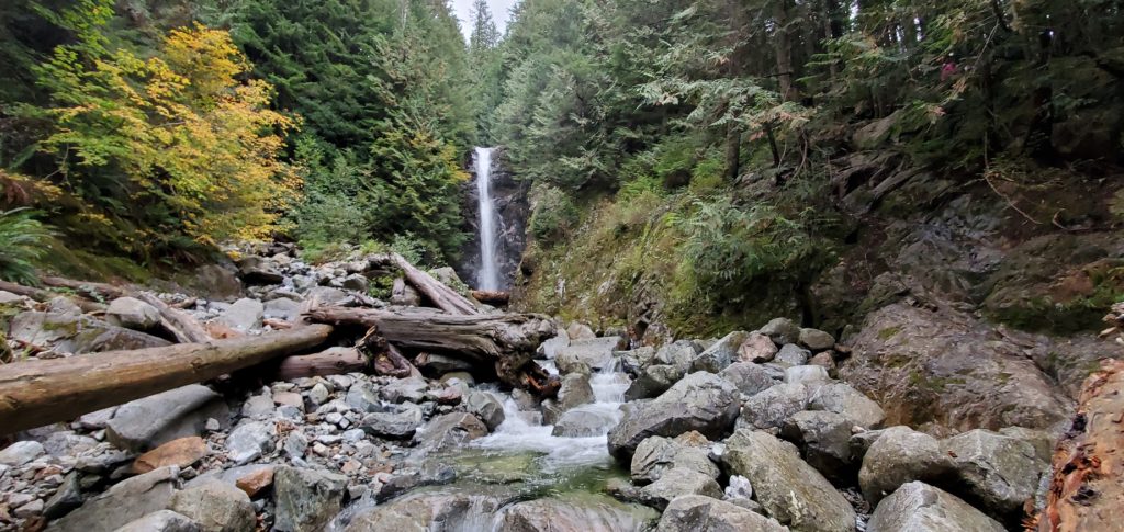
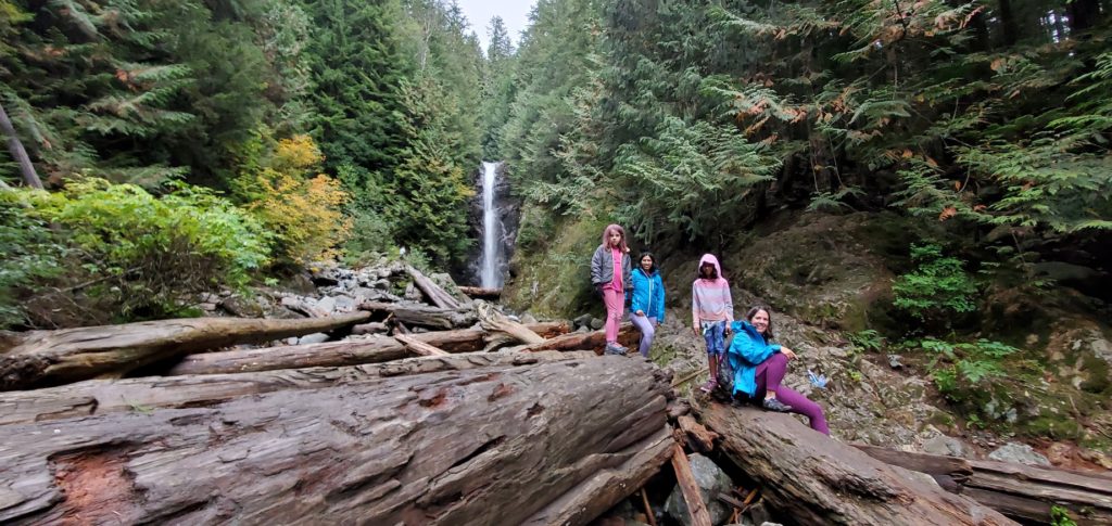
From the Hanes Valley Trail junction, Norvan Falls was just 200 m to the right. It was relatively quiet, and we had just one other group when we hiked down to the creek to get a better view of the falls.
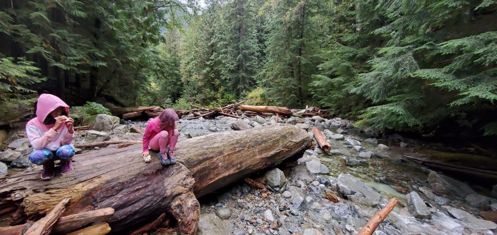
The 7 km hike in was harder than I thought, and the kids were tired by now. So we took a good break to eat some snacks and fuel up for the hike back.
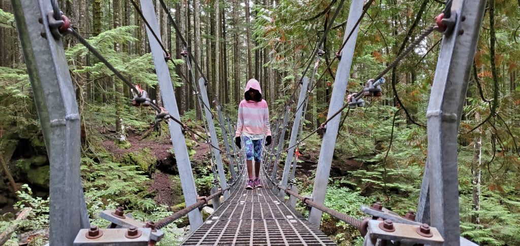
We made a quick stop at the bridge on Hanes Valley Trail before getting back on Headwaters Trail. It had taken us just over two hours to reach the falls. It was 4:45 pm, and we had to get back before the gates closed at 7 pm.
The girls picked up the pace and did a great job hiking the three km to Third Debris Chute. Plans of eating out after the hike might have helped with the pace.

Celeste had suggested Anton’s Pasta Bar for dinner. So for the rest of the hike, I thought about pasta and the enormous portions served at this restaurant.
We were back at the parking lot just around 6:30 pm. It was about a 14 km round trip with an elevation gain of 331 m and took us about four hours and twenty-five minutes. We were all hungry. Anton’s didn’t happen as it was busy, but we had a good Thai meal. Maybe I will get lucky with Anton’s after doing Hanes Valley or Colisseum Trail someday.
Resources:
Indigenous Community Websites: Squamish | Musqueam | Tselil-Waututh | Stó:lō
North Vancouver Logging History: Monova Virtual Exhibit
Trail Guide: Outdoor Vancouver | Vancouver Trails
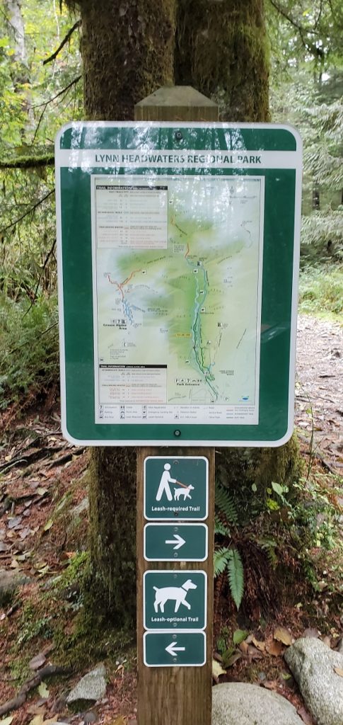
Lynn Headwaters Park: Map
Disclosure: The links I have shared in the post and under the Resources section are not affiliate links.
Did you enjoy reading this post? Please subscribe to get weekly updates. Please share your feedback in the comments section below. Thank you!