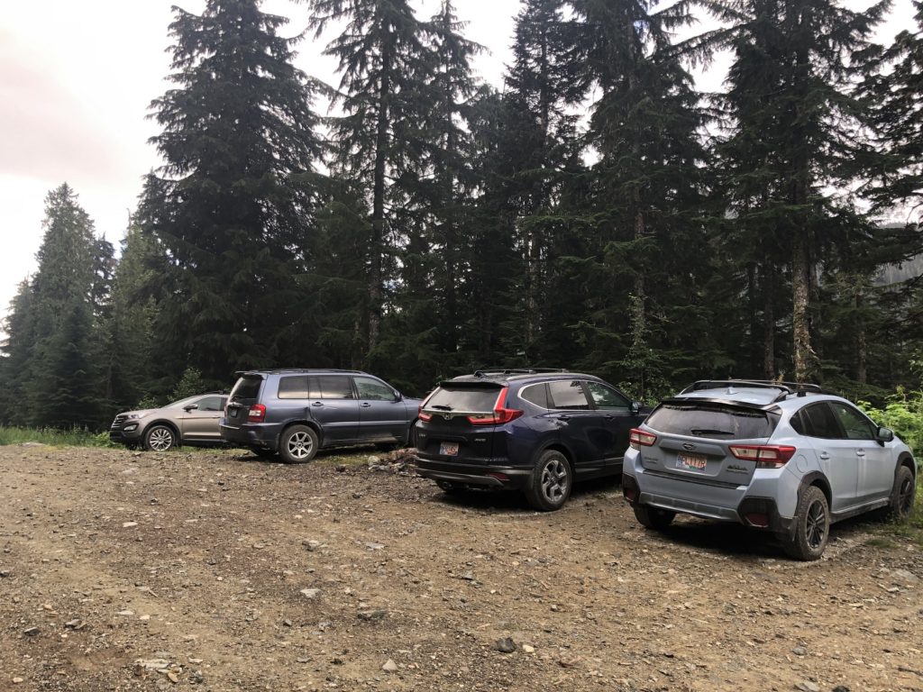
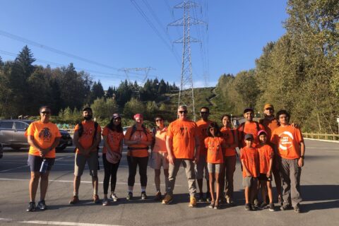
On August 13, I joined Bala and Jess on the hike to Brandywine Mountain. We left Vancouver around 6:30 am and made our way towards Whistler. Vancouver Trails provides good driving directions. Around 8:30 am, we were at a junction, with the road to the left going to the Lower Parking Lot (2 km) and the one to the right going to the Upper Parking Lot (5 km).
Bala had read that the Upper Parking Lot is only accessible in a 4 x 4 vehicle. But, we still turned right as we were curious to see how far we could go in Bala’s Subaru Forester.
Bala deflated the tires to get better traction. However, on the first steep climb, we realized that the car would not make it. So we turned around and made our way to the Lower Parking Lot. It was a rough drive but manageable, and we had no issues getting to the parking lot.
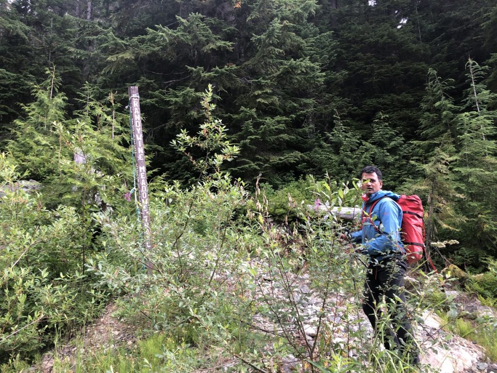
Brandywine Meadows
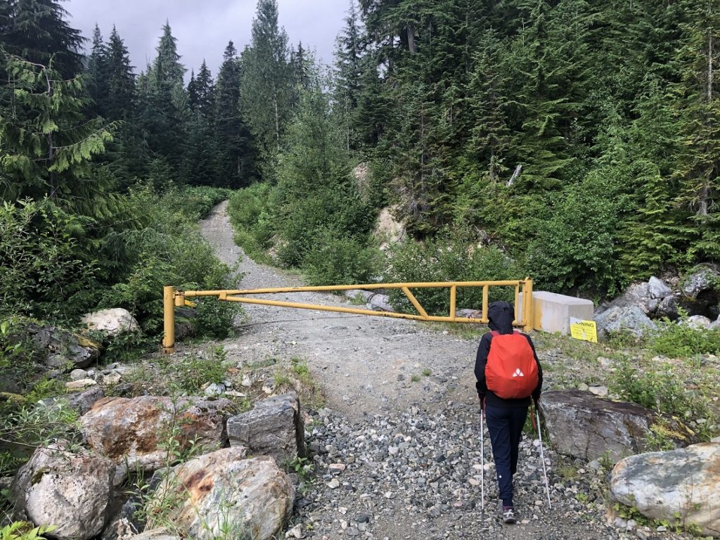
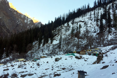
At 9 am, we started our hike. At first, I assumed that the hike started past the yellow gate. But as we checked the map on GAIA, we realized that the trailhead was right across from the parking lot.
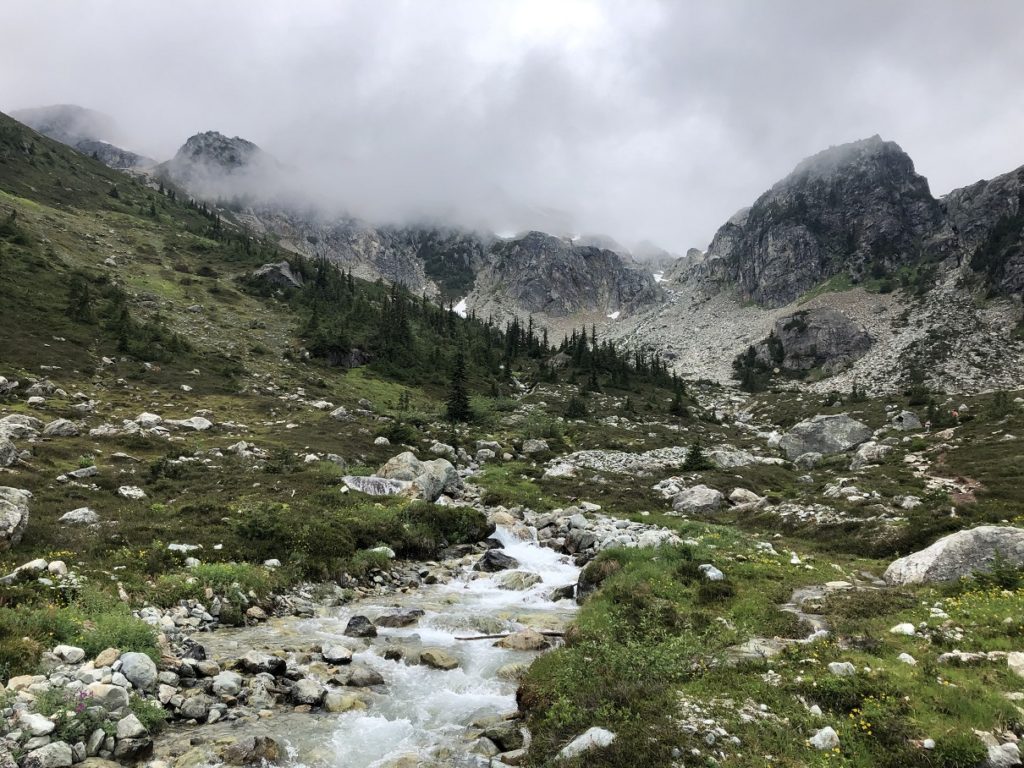
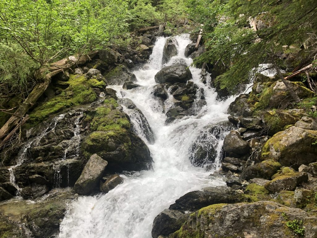
Within a few minutes, we were at a beautiful waterfall.
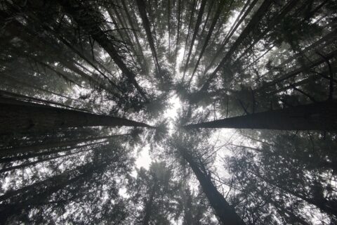
It’s a relatively steep (about 20% grade) trail up the forest to the meadows. From the Lower Parking Lot, it is about 3 km to the Brandywine Meadows, and it took us one and a half hours to cover this distance.
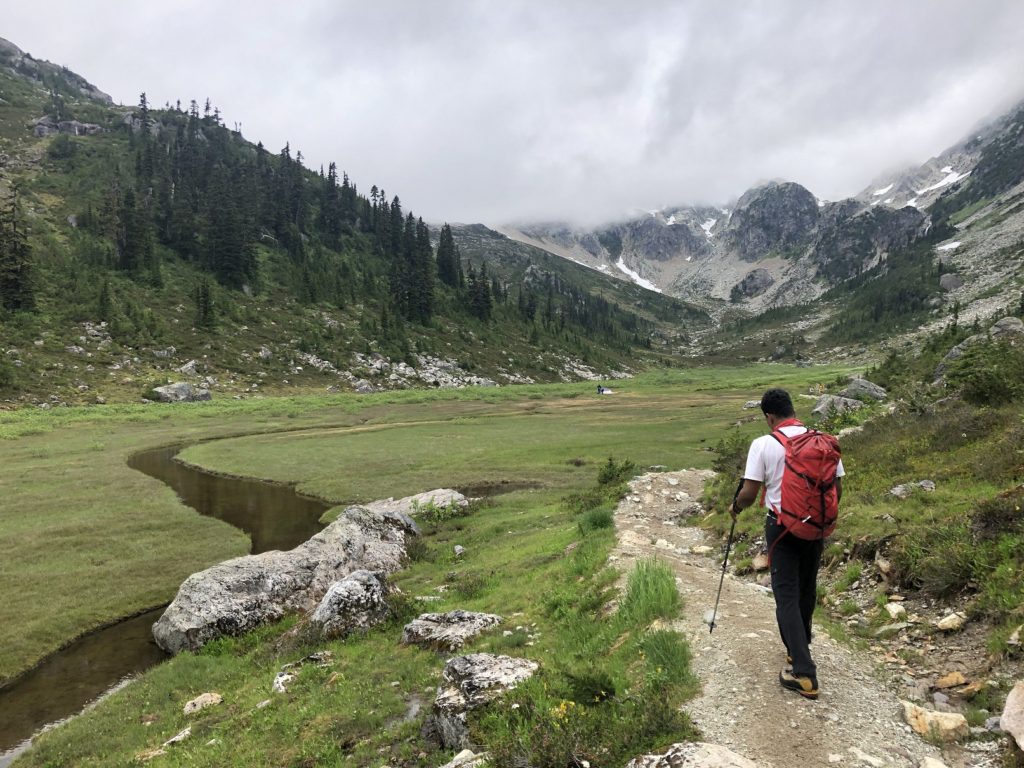
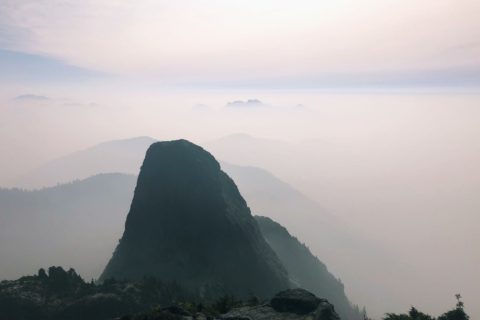
The trail continues on the right side of the creek, offering some spectacular views of the meadows and the surrounding landscape.
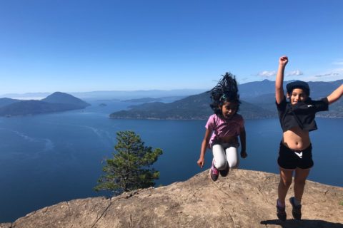
It will make for an excellent camping site with family and hope to come back here with Kasturi and Kavya sometime.
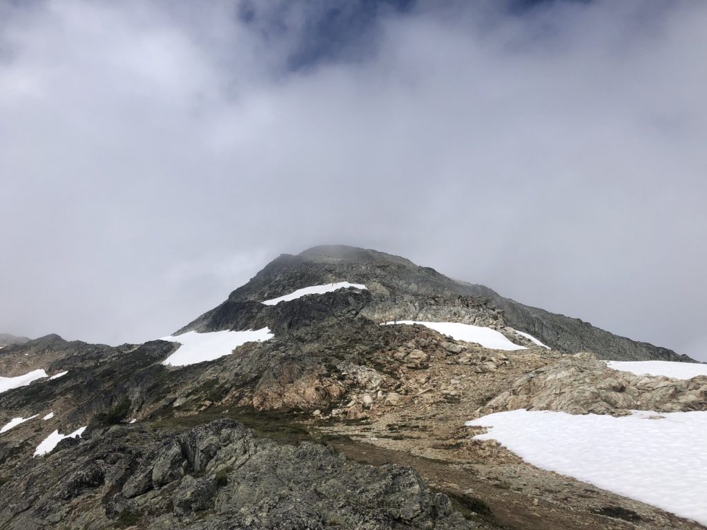
Hike to the Summit
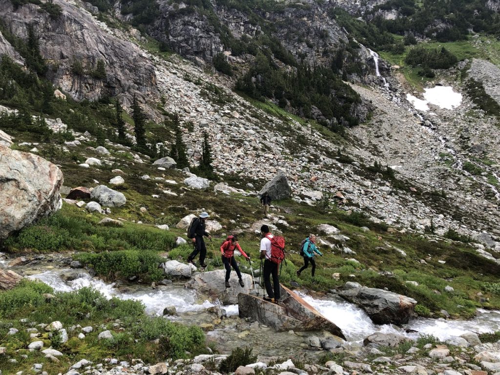
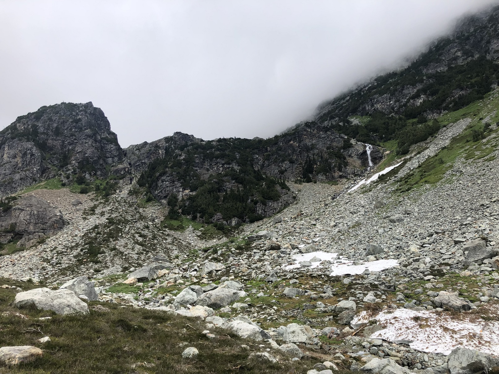
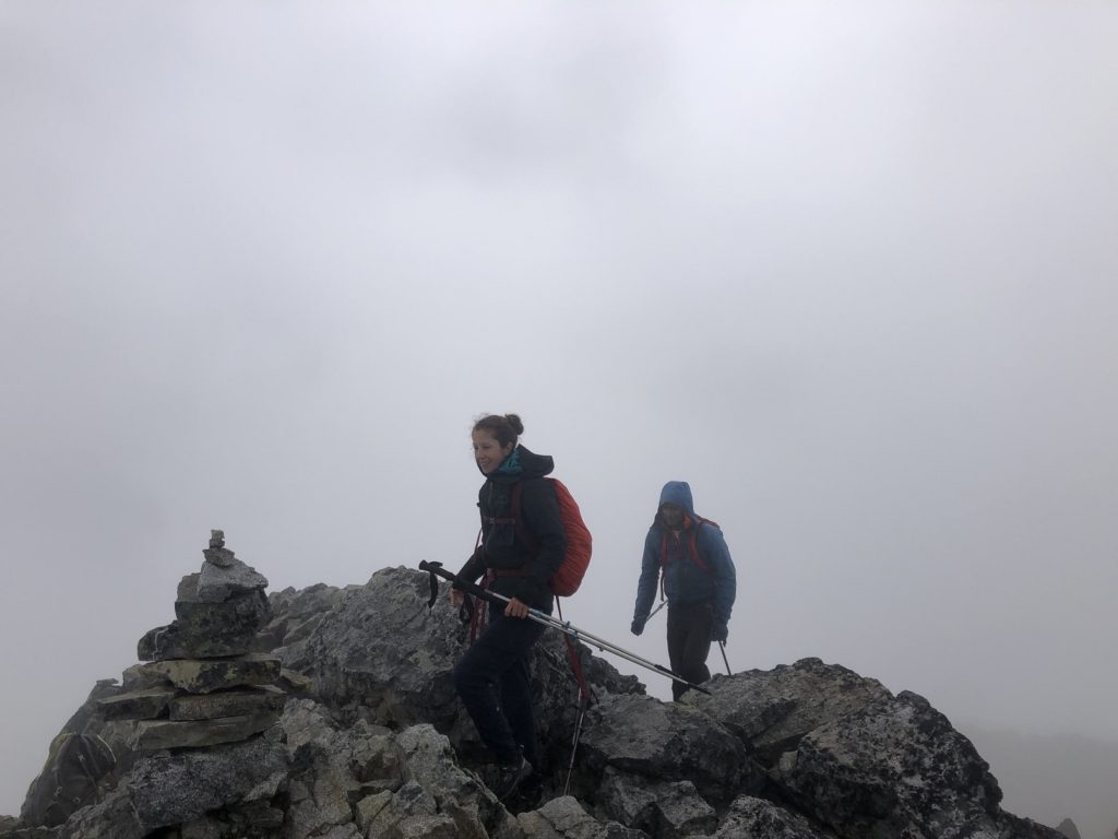
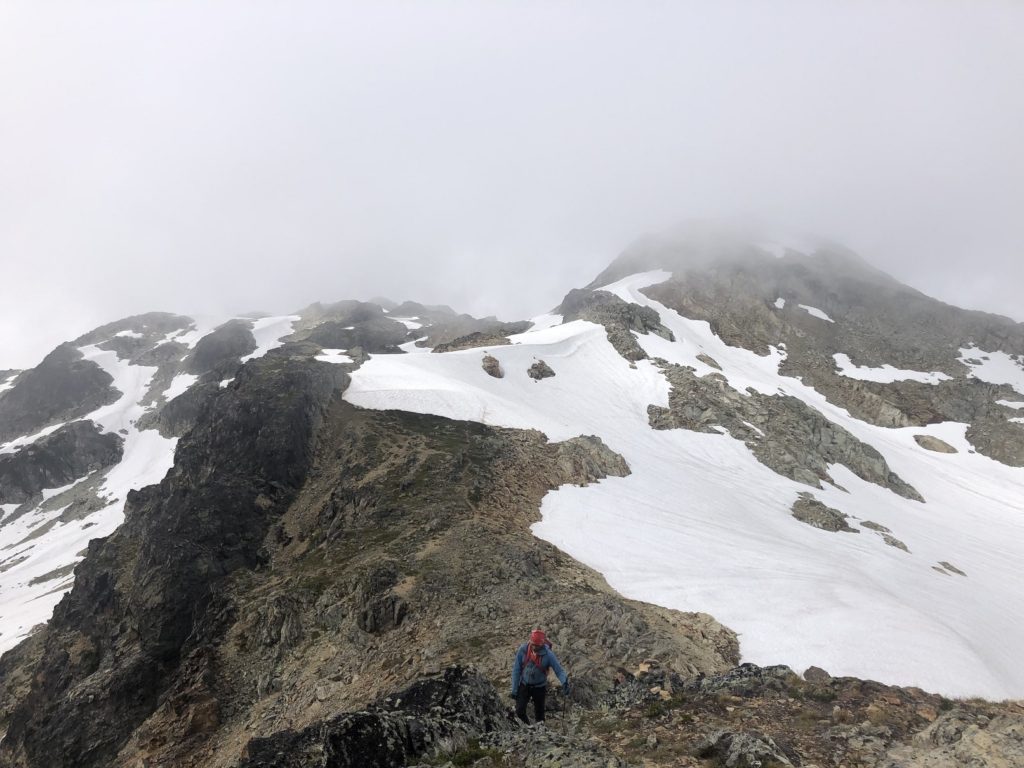
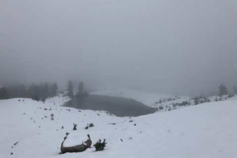
Further ahead on the trail, we made our way to the other side of the creek. Once we got up the hill, the trail was not very obvious. Poor visibility made it difficult to spot the markers.
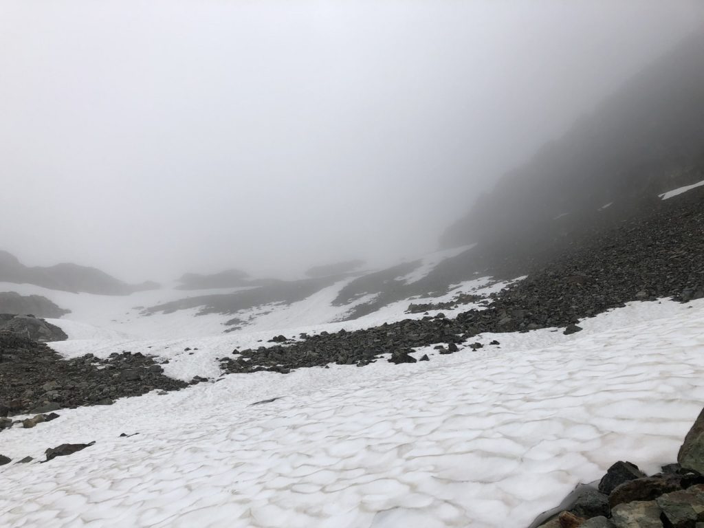
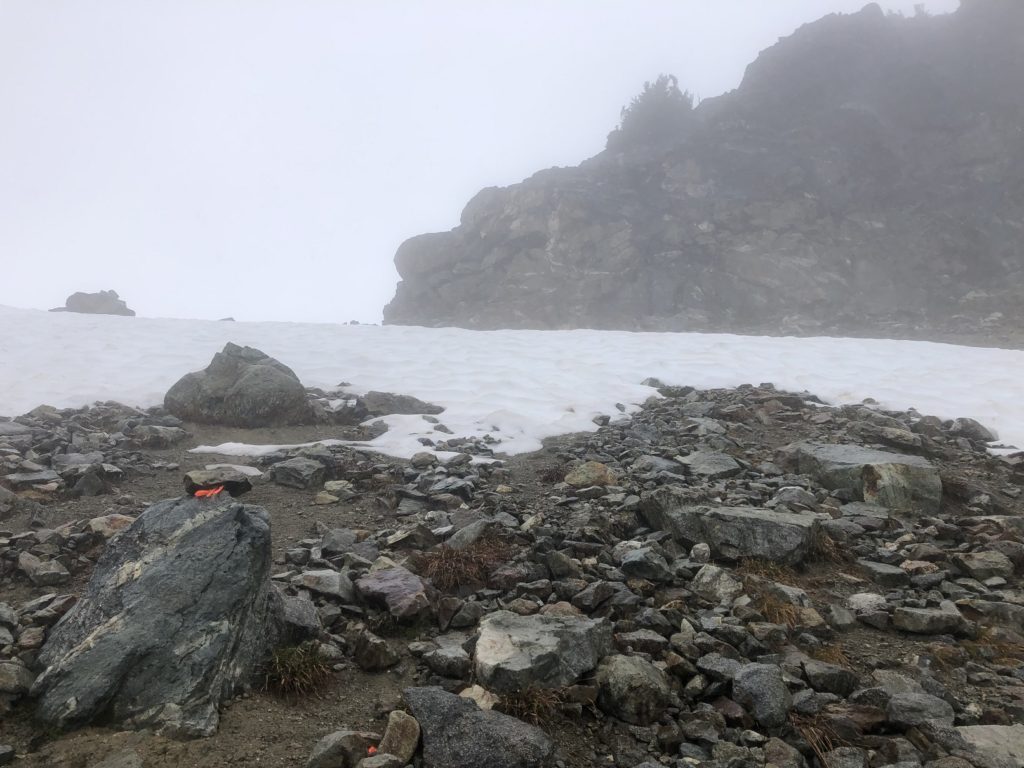
We had some snow on the trail, but it was soft, and we didn’t see a need to take out microspikes. We often referred to the map on GAIA and eventually got on the ridge. The visibility got worse, and it even started raining.
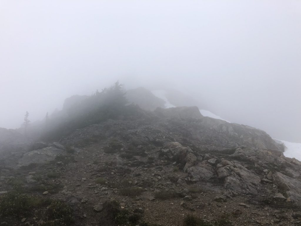
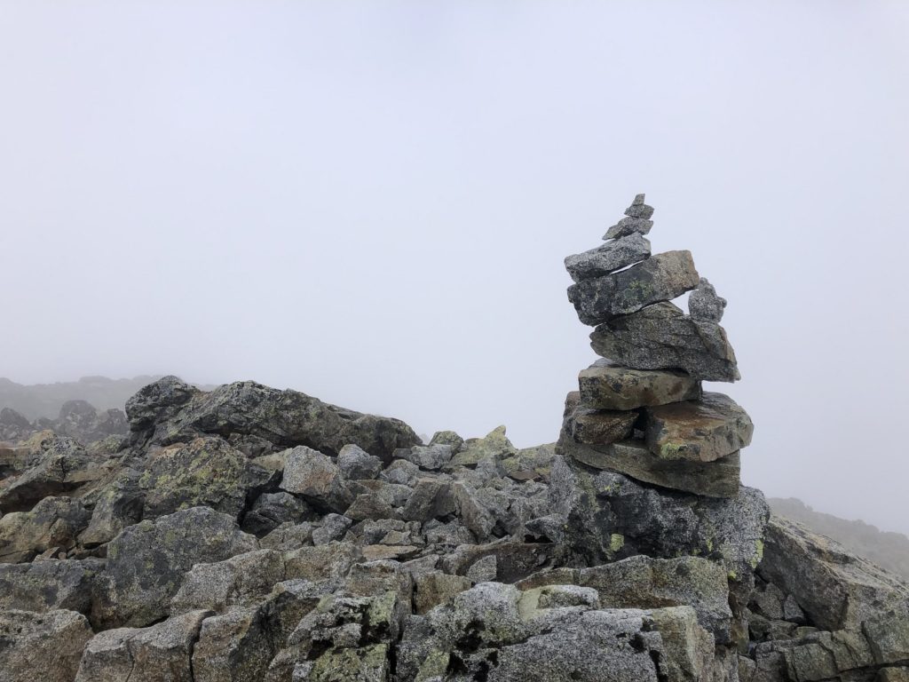
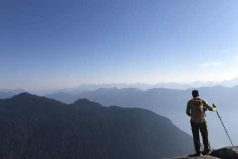
Thankfully, the trail was easy to follow, and we didn’t have to do much route finding. Finally, around 1:40 pm, we arrived at the summit. It had stopped raining, but the visibility was not good.
Descent
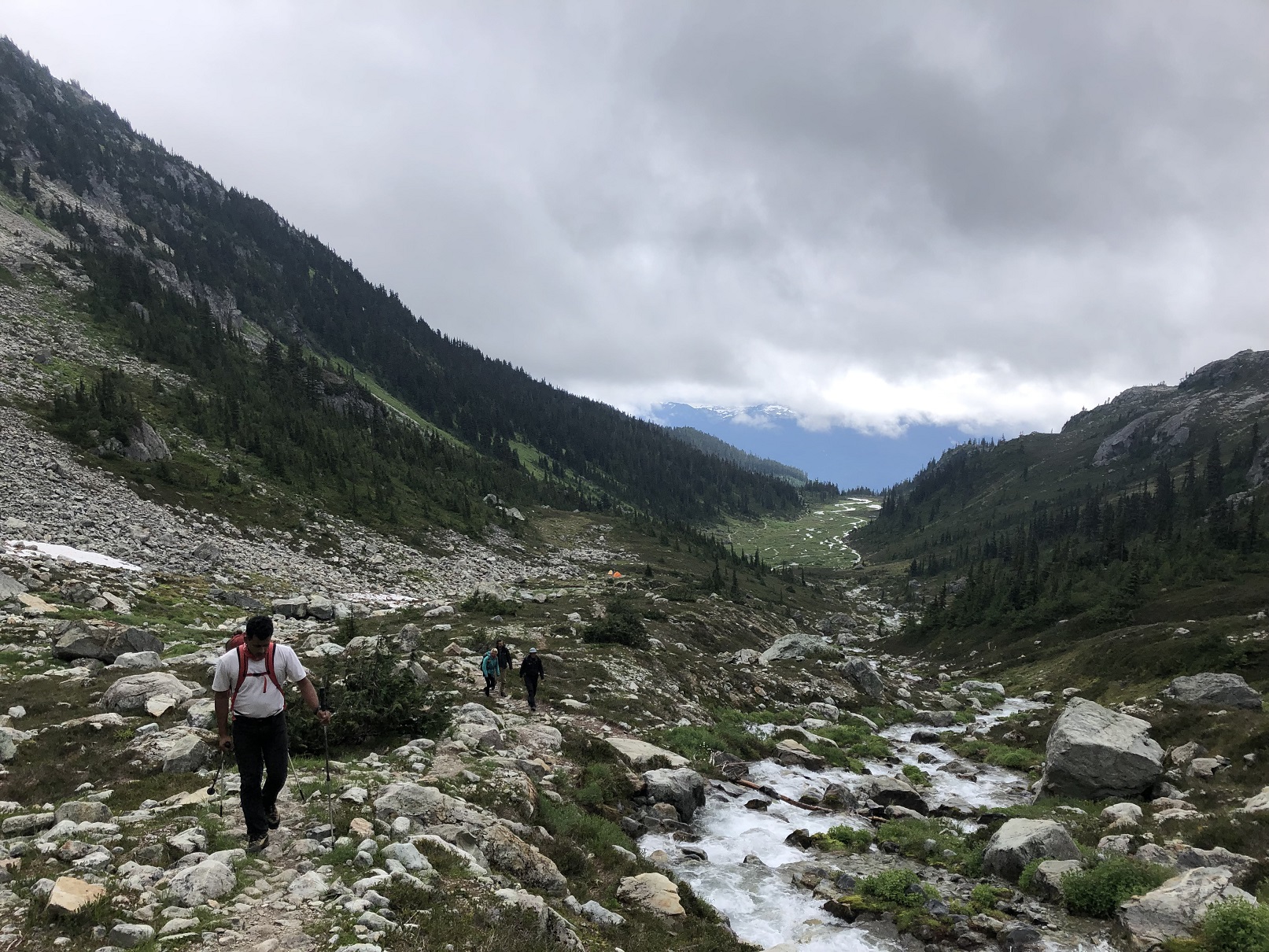
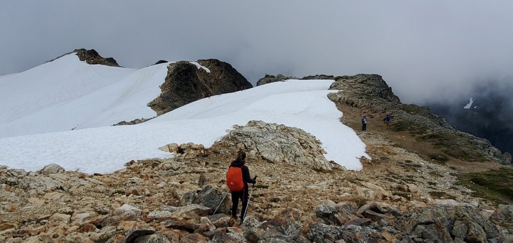
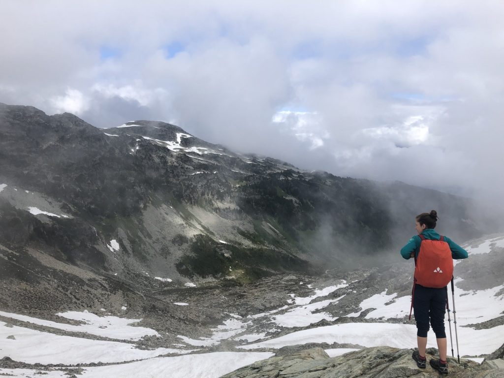
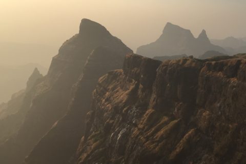
After a long break at the summit, we started our descent. The weather started clearing up on our way down, and we had better views.
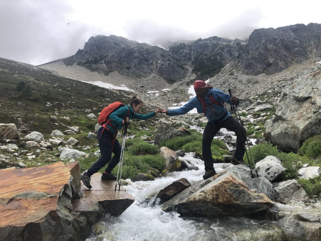
We were back at the creek crossing around 4 pm.
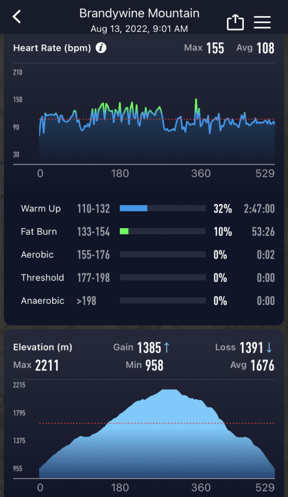
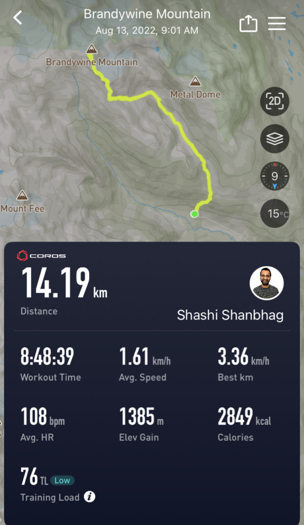
Around 5:45 pm, we were back at the lower parking lot. Round trip, the hike was about 14 km, with 1385 m of vertical, and it took us almost nine hours. In terms of the heart rate, only 10% of the hike was in Zone 2 (Fat Burn category below), and the rest was in Zone 1 (Warm-Up) or below).
Other Adventures
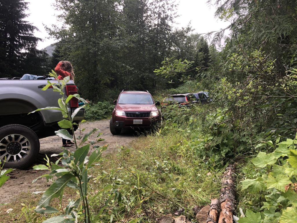
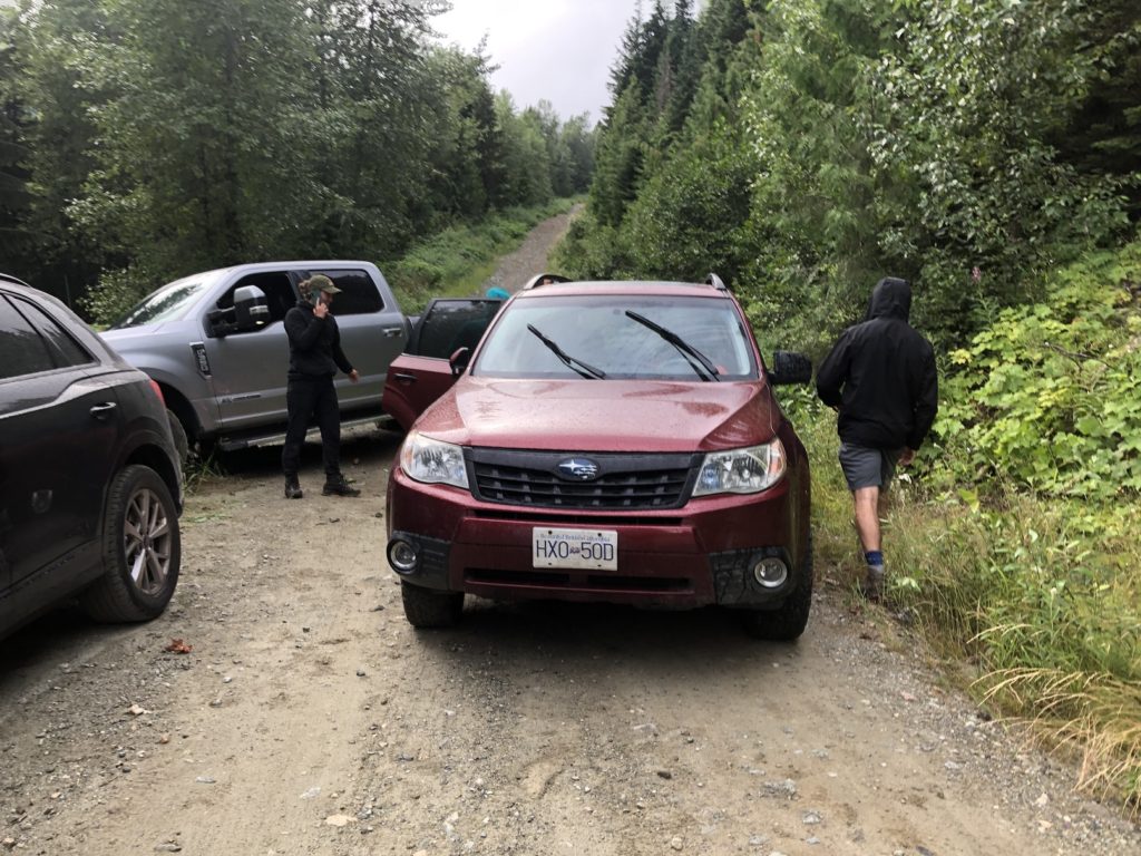
As we were heading out, we came across a pickup truck with two of its tires in the ditch, the rear left tire slightly off the ground, and it was blocking the road.
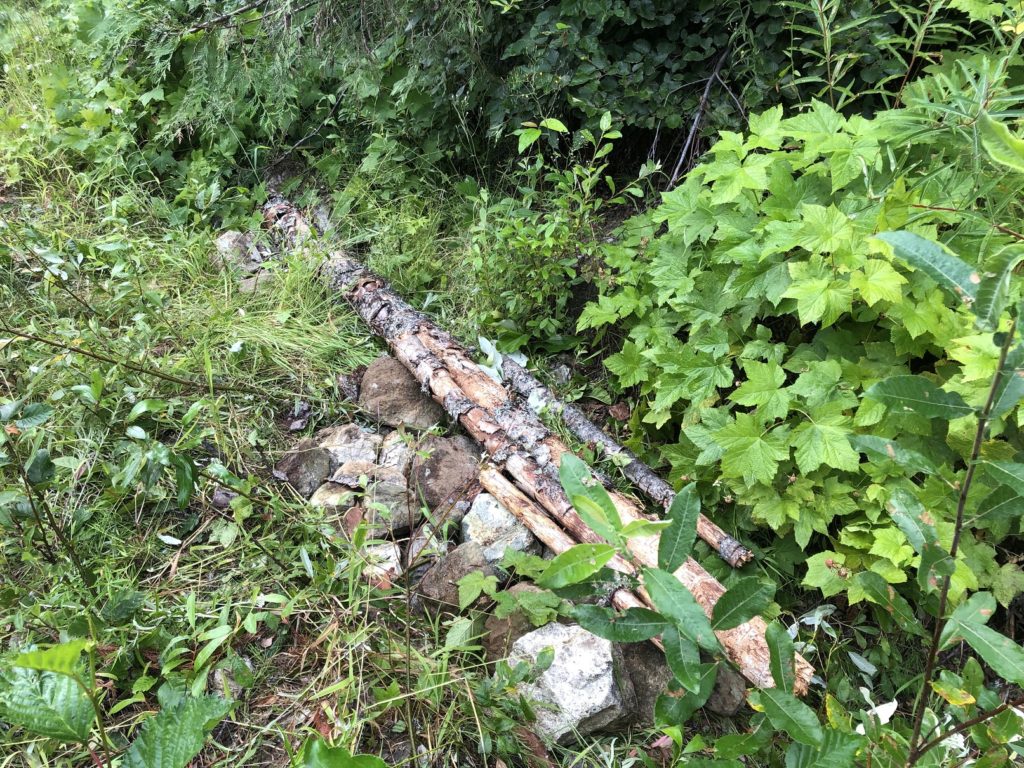
A tow truck was on the way, but we were unsure how long it would take. We tried to squeeze in our car behind the truck, but we feared the front left tire might go into the ditch. So we backed out and started filling the trench with big rocks. Finally, we placed some small logs to cover up the rocks.
Eventually, with Bala’s skillful driving, we got out. It even helped other cars get out as we learned that the tow truck didn’t arrive till late in the evening.
We stopped to inflate the tires as we got off the gravel road. Bala had recently purchased a kit from Canadian Tire. Unfortunately, the instructions were in Mandarin and pressure settings were in kg/cm2 instead of psi.
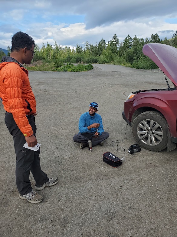
Eventually, after looking up the conversion and trial and error, we figured out how to inflate the tires. However, there was a catch, we could only inflate three tires at once as the device would overheat. Also, the cord was not long enough to reach the rear right tire.
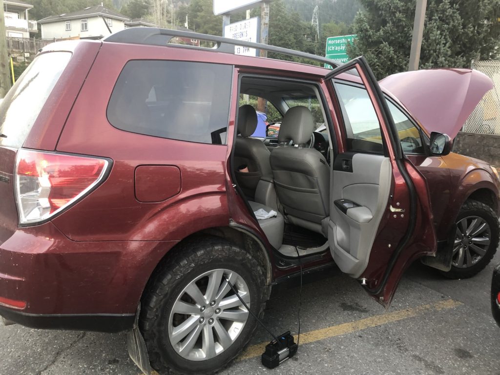
So after we inflated two tires, we drove to Squamish and stopped at Sunny Chibas for dinner. Then, finally, we figured out a way to inflate the rear right tire.
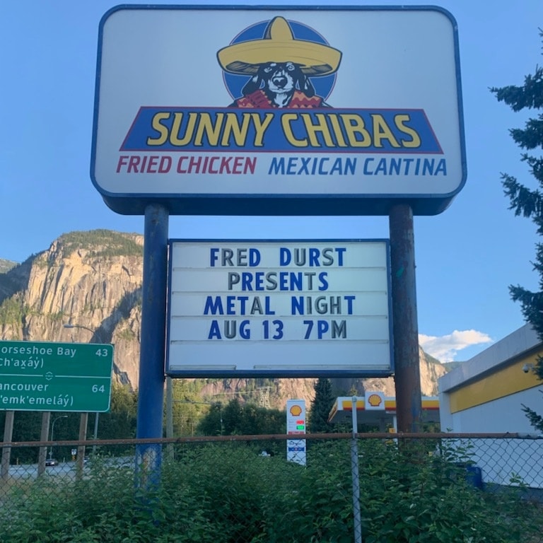
It was also Metal Night at Sunny Chibas. I think in a few years, I will remember this trip for all the other adventures than the actual hike.
Territory Acknowledgement
I would like to acknowledge that this trip took place on the unceded territory of the Coast Salish peoples, including the territories of the St’át’imc (Stat-lee-um), Skwxwú7mesh (Squamish), and Líl̓wat Nations. I commit to learning about Indigenous peoples and issues and making reconciliation an ongoing effort.
Source: Native-Land Pronunciation Guide: First-Nations.info
Resources:
First Nations: St’át’imc | Skwxwú7mesh | Líl̓wat
Route Info/Trip reports – Vancouver Trails | GAIA GPX Tracks
Weather Forecast – SpotWx | Yr.No | Windy
AdventureSmart – Trip Planning
Disclosure: The links I have shared in the post and under the Resources section are not Affiliate Links.
Did you enjoy reading this post? Please subscribe to get weekly updates. Please share your feedback in the comments section below. Thank you!
I came to know about this gem of a hike last year after Rohan had posted about it on Facebook and written an article in his blog. I ended up making 3 trips in the space of one month! Two were up to the meadows only and one trip I camped overnight in the meadows and hiked up to the peak the next morning. My Nissan Xterra made it up quite comfortably all the way to the Upper Parking Lot where the trail actually begins! Brandyone is truly a 5 star outing by any standards. I was fortunate to have stellar weather on all my 3 trips!!
Aloke – thank you for your comment and for sharing your experience. With great weather, you might have got excellent views. Maybe next time should hop in your Nissan Xterra to get to the upper parking lot 😉