Two years back, I tried to climb Runner Peak in Mount Seymour Provincial Park. It took two years to go back here, and it felt good to stand on top of Runner Peak with Oudi, Bala and Scott.
Runner Peak – May 2019 Attempt
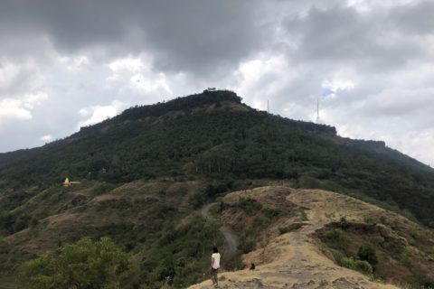
Oudi and I climbed Mount Seymour and then made an impromptu plan to do Runner Peak. We scrambled down the southwest slope of Mount Seymour, and it took a while for us to find the trail heading to Mt. Elsay/Runner Peak.
To get to the bowl west of Runner Peak, we took the direct approach and had to downclimb some steep sections. By the time we reached the bowl, I was exhausted. It was close to 1 pm, and I had to be back home by 6 pm. It was doable, but I was not ready mentally and physically for the effort.
Runner Peak – May 2021
The weather forecast for May 8 was cloudy/light rain in the morning and some sun later in the day. Not great, but good enough for a hike in the local mountains.
Since Avalanche Canada had wrapped up forecasting for the season, a “Spring Conditions” message was posted on its website with additional information to assess conditions based on the weather patterns. None of us had been on the mountain recently, so we were not aware of the current snow conditions and avalanche hazards.
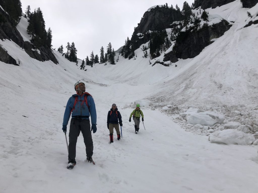
We planned to bring avi gear (beacon, shovel and probe), an ice axe, crampons, and a helmet for our hike. Along with other gear and food, my pack weighed about 15 lbs. Since it was supposed to be a long day, I didn’t add any extra weight.
Given the weather, we had a really late start. We parked at the upper parking lot of Mount Seymour Resort, and it was almost 11:30 am by the time we started our hike.
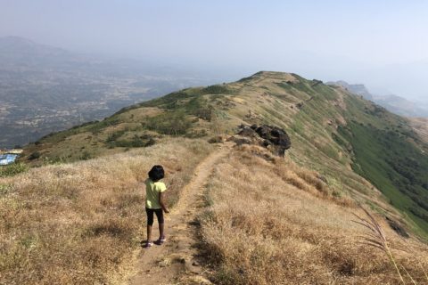
Mount Seymour Trail
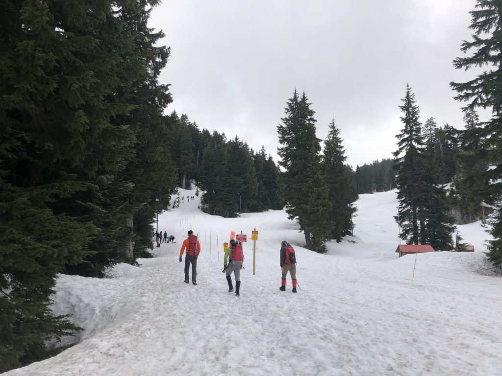
We had a good winter this year, and there was still a lot of snow on the mountain. We had snow right at the trailhead. But after a few more warm days, it would be slush snow.
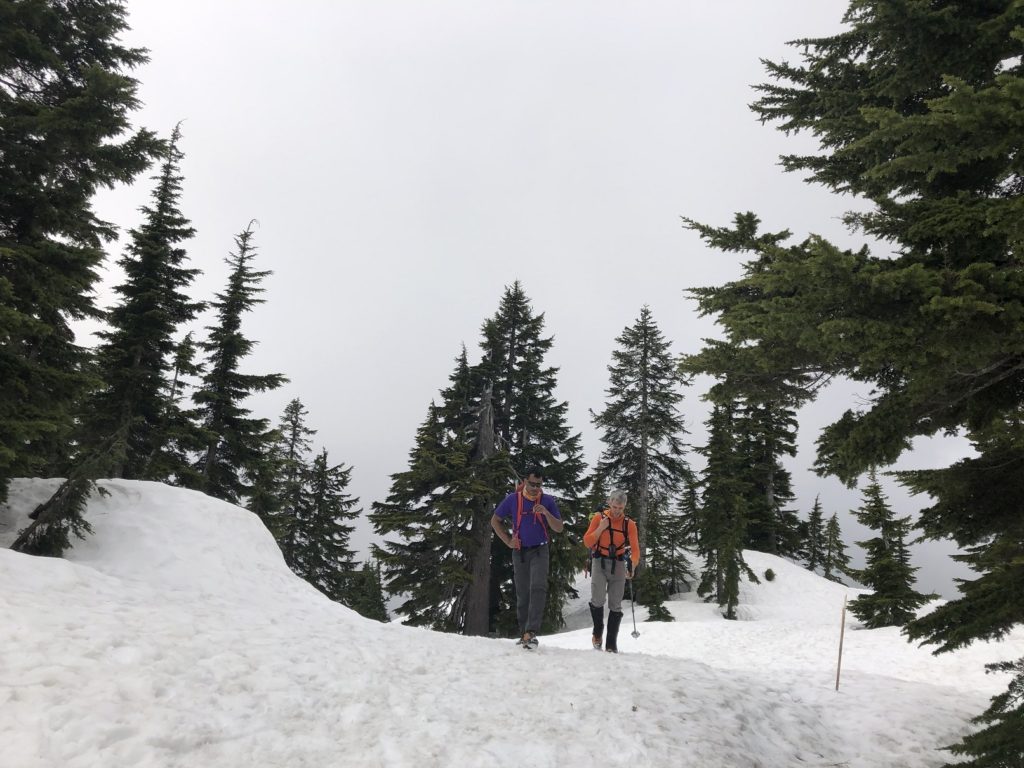
It took us about an hour and ten minutes to reach the base of the first peak (Pump Peak). We had hiked about 3.2 km with a 440 m elevation gain so far. After a quick beacon check, we continued on the trail towards the second peak (Tim Jones Peak).

Before starting the traverse on the west side of Tim Jones Peak, we got our ice axes out and put on our helmet. Snow was still soft, and we didn’t have to use crampons. There was a decent trail for the traverse compared to the last time I did this traverse with Scott in February.
Mt. Elsay / Mt. Bishop Route

We soon reached the saddle between Tim Jones Peak and Mount Seymour. Further, we dropped down into the gully and traversed to the right (west side of Mount Seymour). We lost about 180 m in elevation before climbing up to the northwest side of Mount Seymour.

In 2019, we had taken a direct approach and traversed on the north slopes of Mount Seymour to get to the bowl. It is a shorter but much steeper approach. Based on our experience last time, we continued on the Mt. Elsay / Mt. Bishop Route.
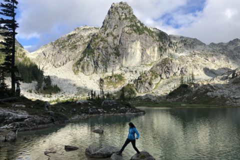
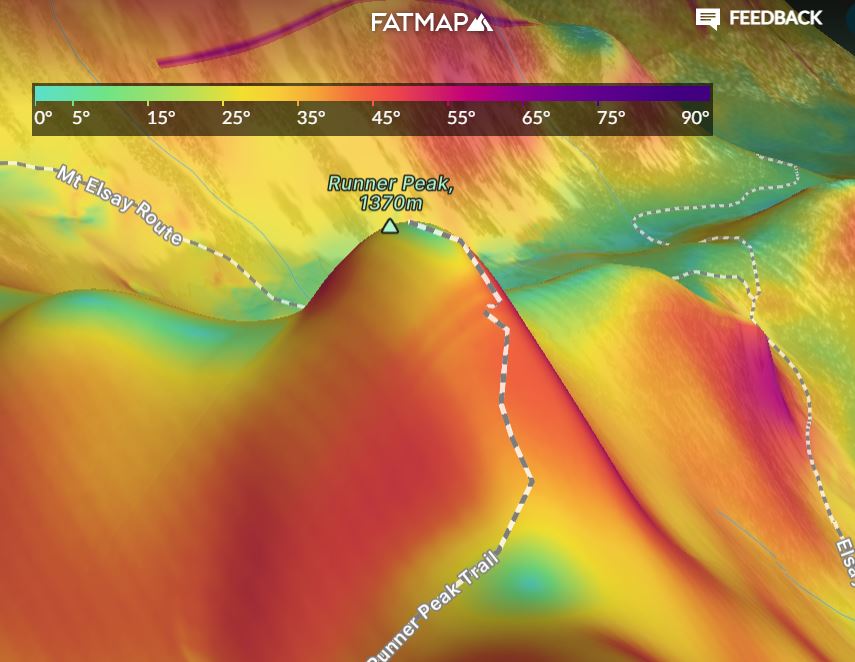
Runner Peak

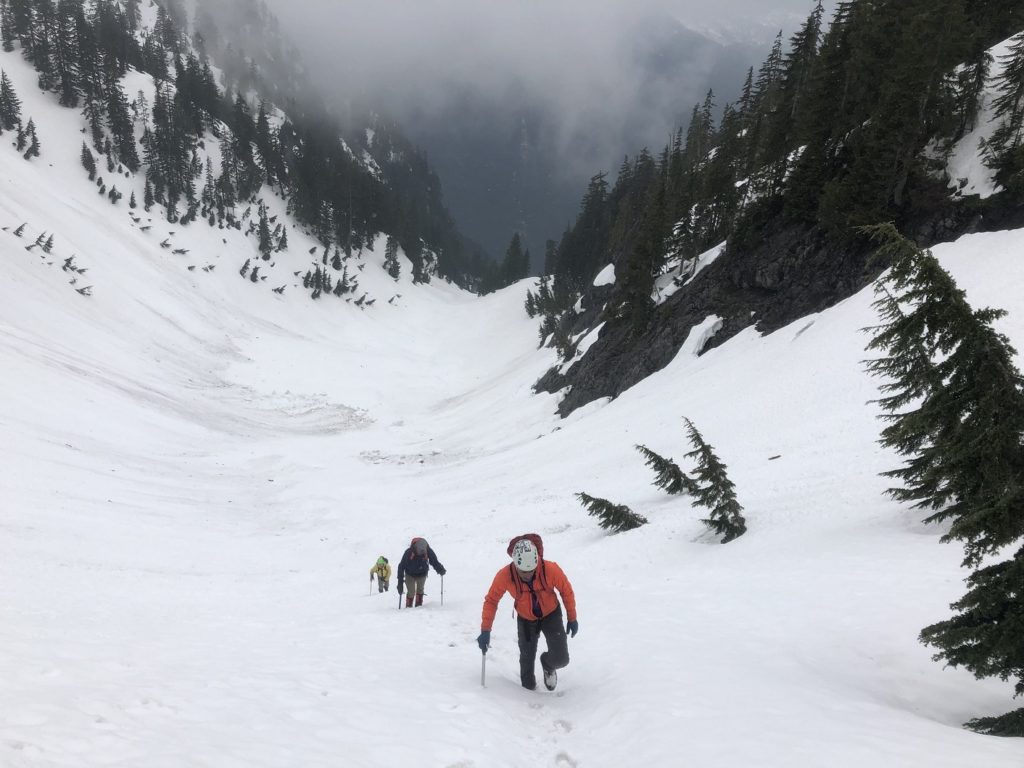
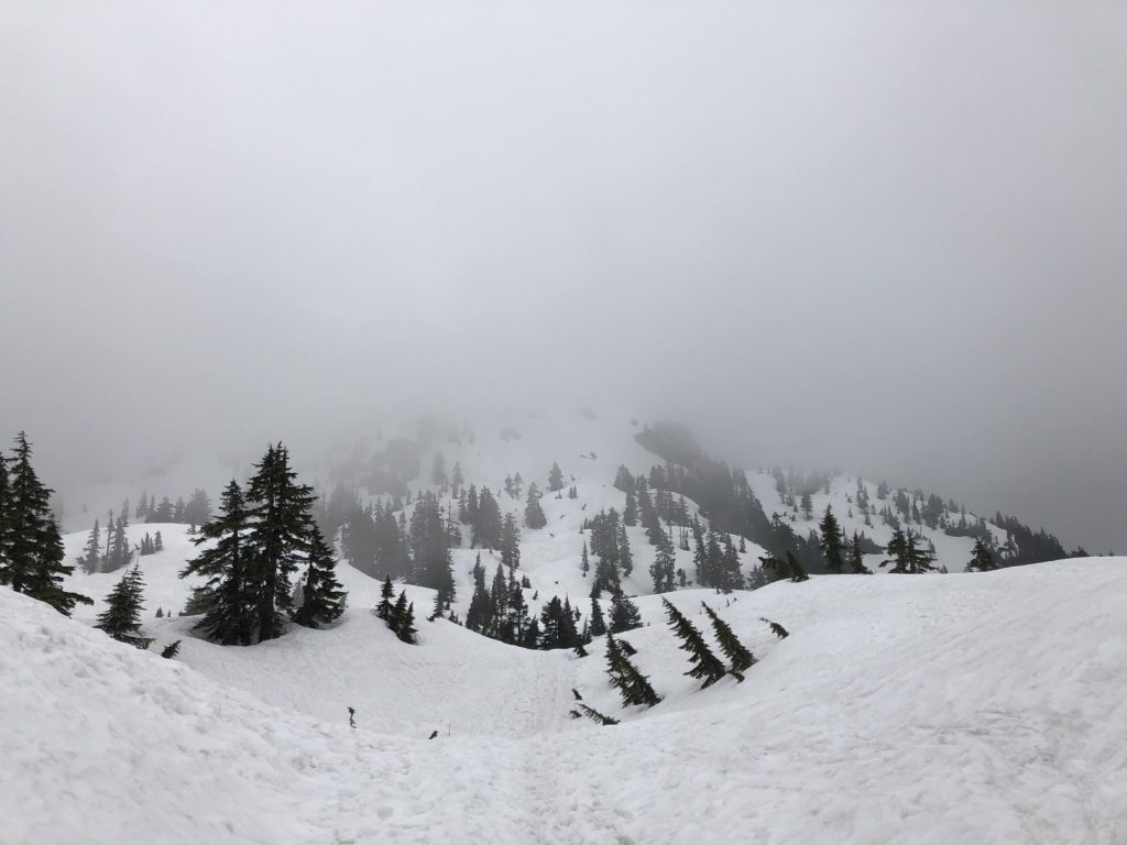
Once we got down to the snowfield, we had a better view of our route to the col between Runner Peak and Mount Seymour. We would keep to the left of the avalanche debris and climb up to the col.


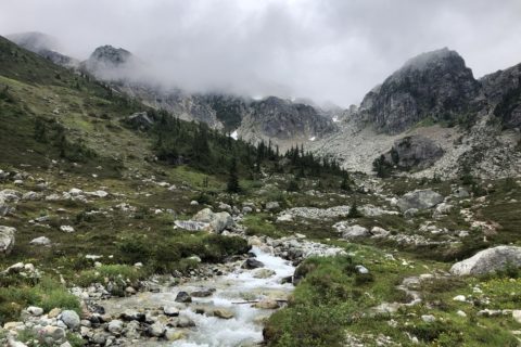
At the col, the visibility was limited, and we could only see a short section ahead. We took the route between the trees and made our way up.

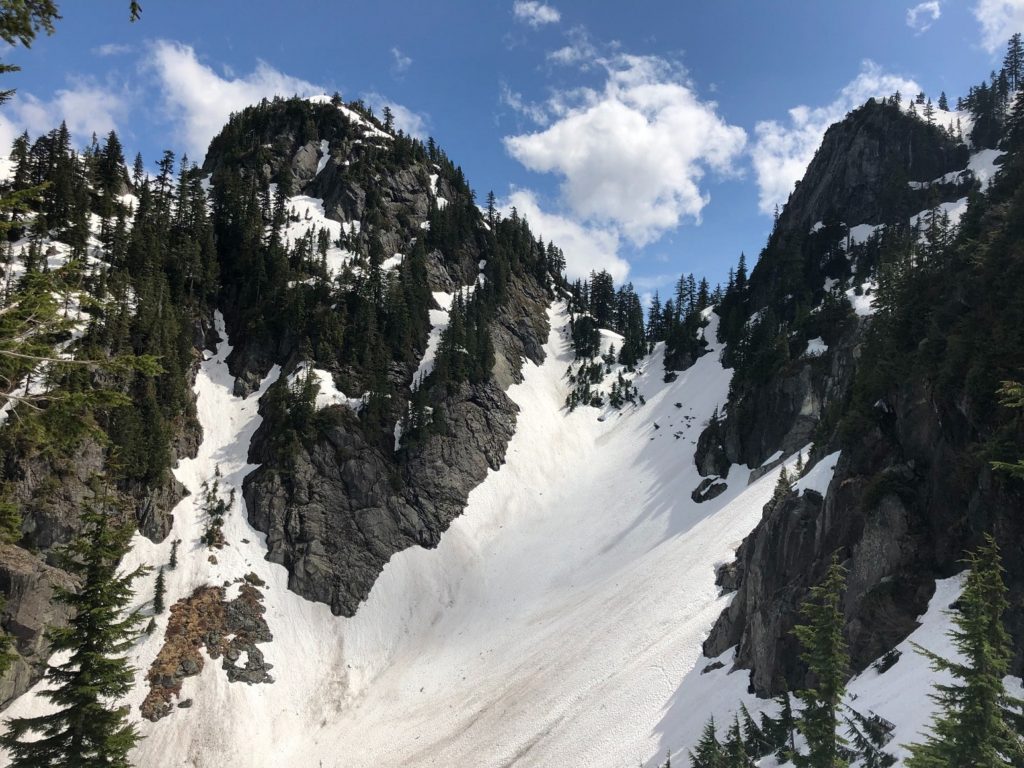
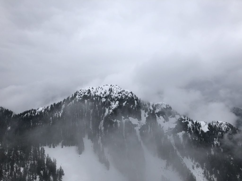
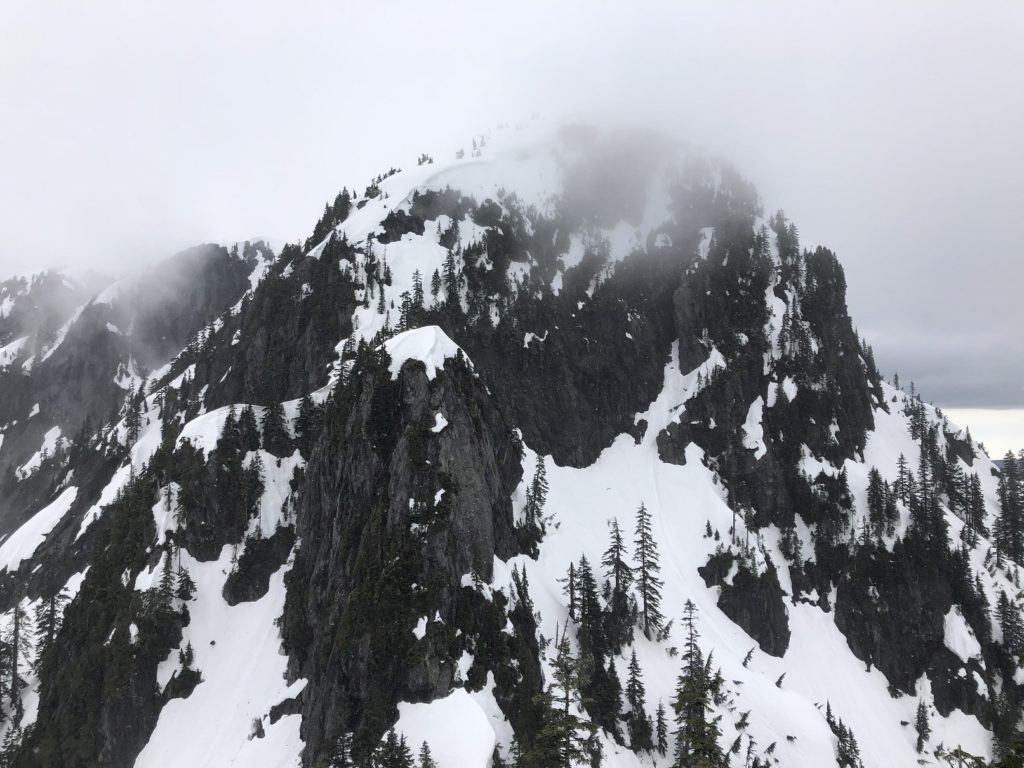
Soon we were at the steepest section of the climb.

The snow was still soft, and we didn’t have to use crampons. Further ahead, there was a narrow crossing over the slab, and there was a gap in snow.

As I got closer, I saw that the snow was less than a foot thick and would not bear our weight. So we decided to cut across the trees to access the upper section.

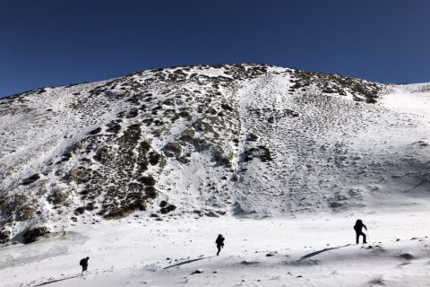
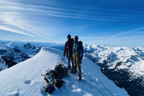
Above the trees, it was a short climb to the summit. It took us just under three and half hours to get to the summit. It cleared up a bit, but the views were still limited.
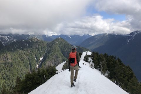
The Uphill Descent
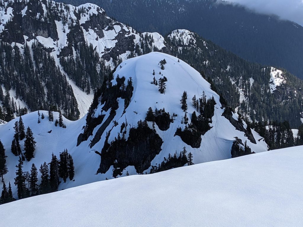
It was windy at the top, so we quickly made our way back down. We had a much better view of the North East side of Mount Seymour, and Scott described this terrain as “Wild.”
It had taken us close to an hour to climb up from the bowl to the summit but took only 30 minutes to get back down. We still had to climb back up on Mt. Elsay / Mt. Bishop Route, drop down for the traverse on the west side of Mount Seymour and then climb back up to Tim Jones Peak.
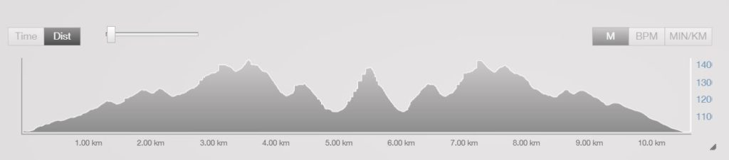
Even though the net elevation change from the parking lot to the summit of Runner Peak is less than 400 m, we ended up with a total vertical of 1370 m for the day over a 10.6 km round trip.
It took us just over six hours to get back to the parking lot. The next day, North Shore Rescue (NSR) was called to rescue a group of four hikers who were stuck on the east side of Mount Seymour. Fortunately, all hikers were rescued. The documentary series on Knowledge Network provides some great insight into the amazing work done by North Shore Rescue.
In responding to the NSR rescue post, Russell Coffin posted a picture of Runner Peak that showed our tracks from the previous day. It was taken from Mount Seymour.
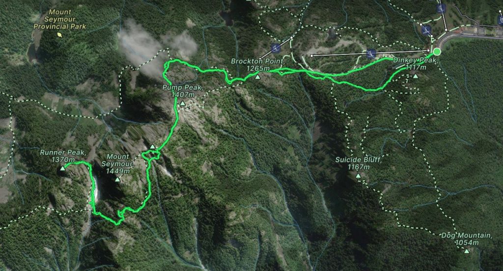
Here is the FATMAP view of our entire route –
Overall, it was a great day of breaking trail, going up and down some steep terrain and figuring out the optimal route in limited visibility. I was tired by the end of the trip but not exhausted like I was in 2019. Oudi said I had come a long way since our 2019 trip. For me, it was a great compliment and recognition of the training I had been doing since last year.
Resources:
Mount Seymour Provincial Park: BC Parks
Avalanche Conditions: Avalanche Canada
AdventureSmart: Trip Planning
Weather: Mount Seymour Resort | Mountain-Forecast
Disclosure: I am not affiliated with any of the above organizations.
Did you enjoy reading this post? Please subscribe to get weekly updates. Thank you!