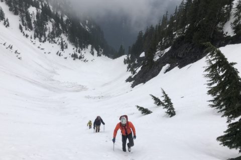
Rain was forecast for the first weekend in April, and the conditions were not great for downhill skiing at Cypress or climbing in Squamish. On Saturday, April 6, I drove south to meet Yogesh and do the Oyster Dome hike. The next day, Oudi was available and suggested the Eagle Mountain hike starting from Buntzen Lake in Say Nuth Khaw Yum (Indian Arm) Provincial Park.
I was unaware of this trail, but I saw this post on Steven’s blog when I searched for it. His comment, “…no trail leads the final 100 m gain to the summit,” got my attention. I downloaded the GPX file and loaded it into my GAIA app.
Rainforest Wonderland
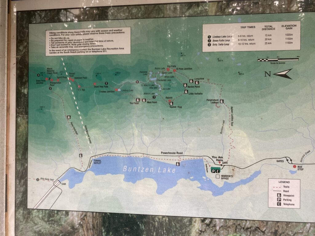
Given the weather and the time of the year, it was not a busy day at Buntzen Lake and there was plenty of parking even when we arrived at around 10 am. We walked back on the Buntzen Lake Park Rd to the trailhead.
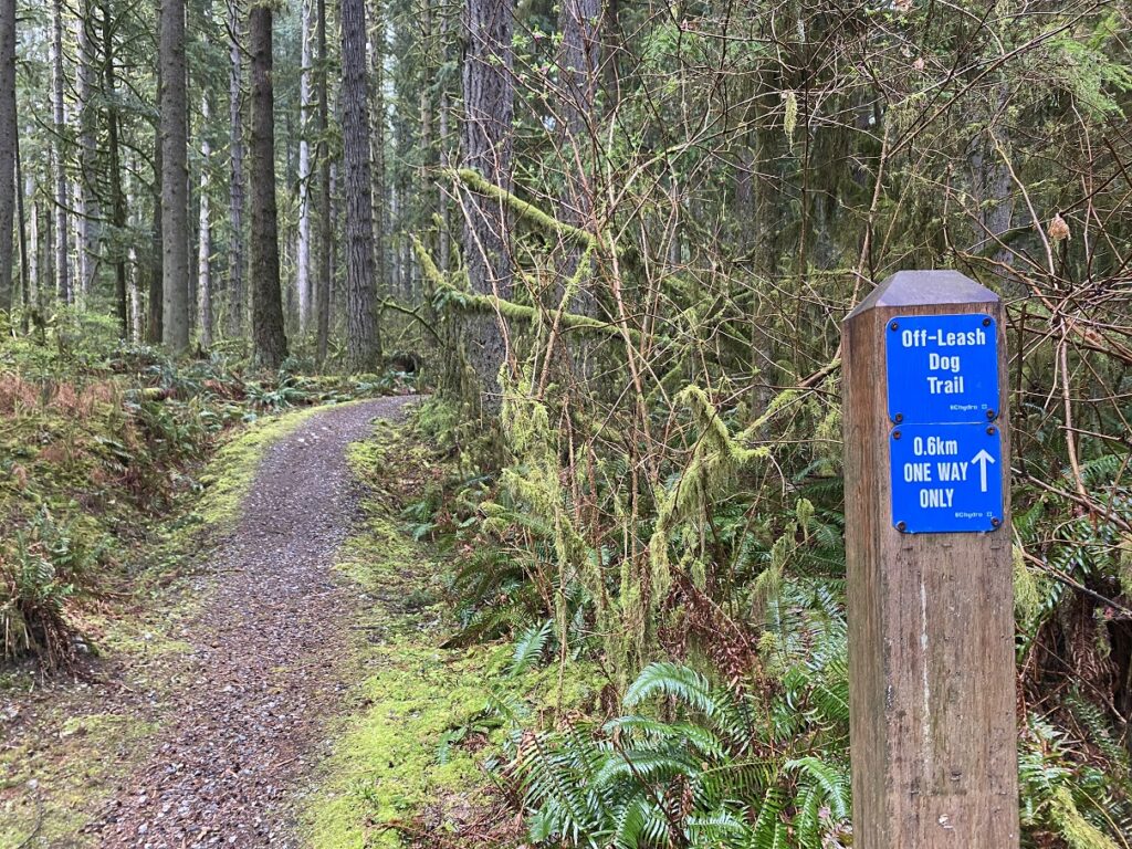
You can also start the hike from the trailhead for the Halvor Lunden Trail by going through the gate on the left on Powerhouse Rd.
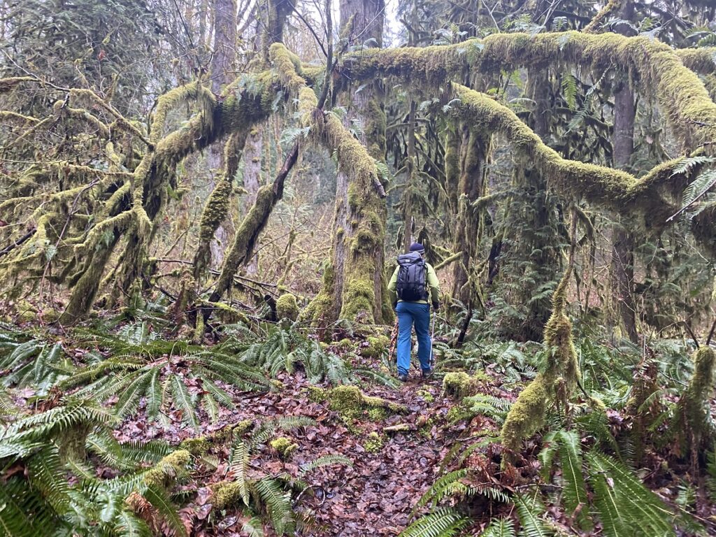
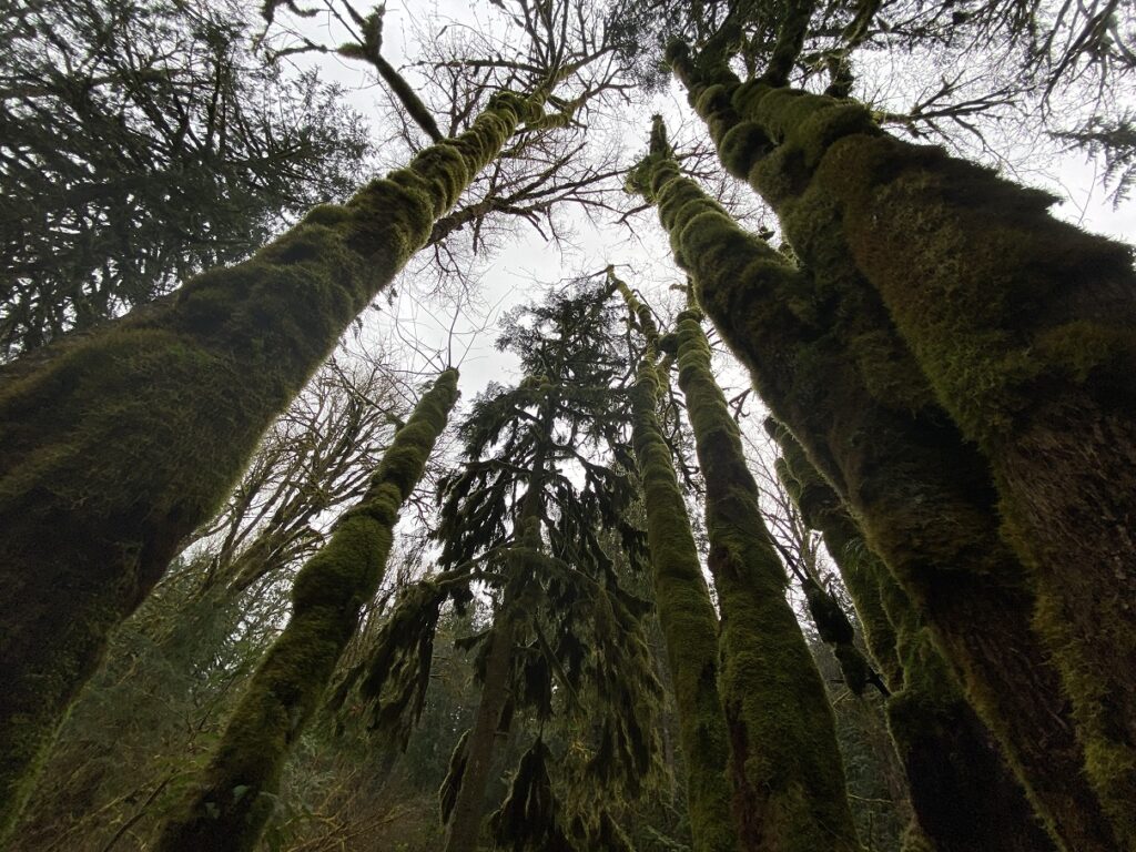
After going for about 300 m on the one-way trail, we were supposed to turn left. But there was no sign and we missed it. We walked back and Oudi took the faint trail connecting to Academy Trail. This was probably one of my favourite sections of the hike as it had some dense moss covered trees. While this is not unusual on BC trails, but it was still beautiful.
Halvor Lunden Trail
Soon, we were on the Academy Trail, which is also used by Mountain Bikers. About a km into the hike, the Halvor Lunden Trail goes to the right and is marked as a hikers-only trail. The trail climbs gradually to Eagle Ridge for the next four km.
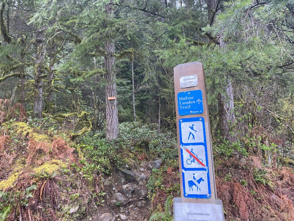
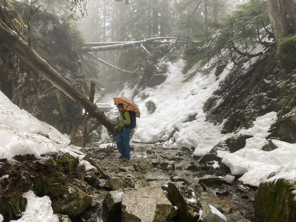
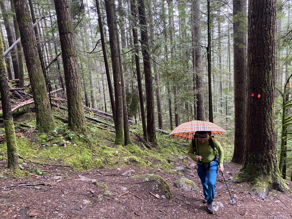
The trail is well-marked and easy to follow. As it started raining, Oudi had his umbrella out, reminding me of Dickson, who also carried a colourful umbrella on our Kilimanjaro Trek.

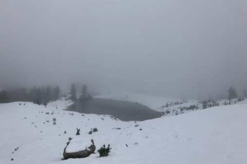
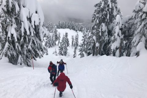
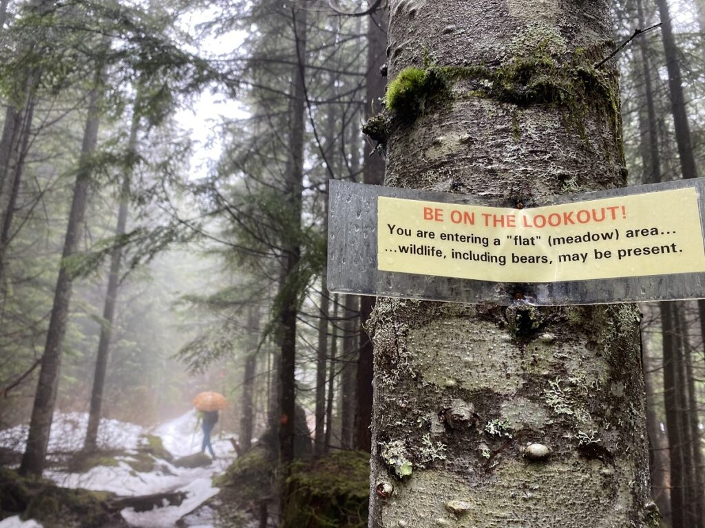
There were a couple of short out-and-back trails to lookouts but we continued on the Halvor Lunden Trail. Given the weather, the visibility was low anyway. At an elevation of 800 m, the trail flattens out a bit and now we had some consistent snow on the trail.
About two hours into the hike, we arrived at the El Paso junction with the most signs on any trail I had been on.
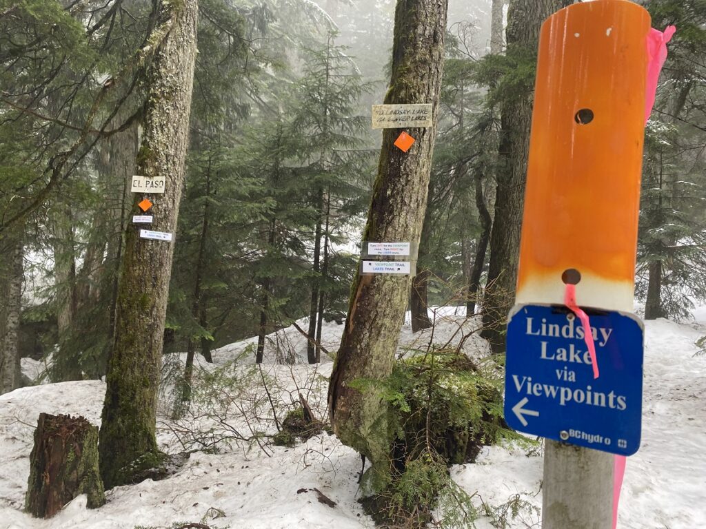
We checked the GAIA map and turned left (Viewpoint/Halvor Lunden Trail) to drop down to a creek crossing.
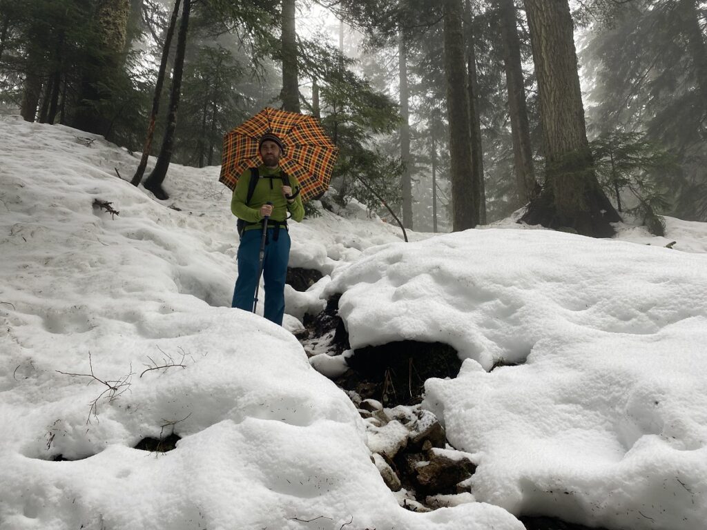
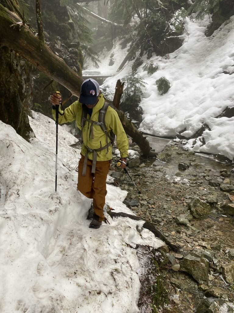
Bushwhacking to Eagle Mountain summit
We continued following the orange markers but realized we had gone too far again. So we hiked back to a point just after the creek crossing from where it seemed like the shortest path to the summit. We were at 950 m, and the summit was at 1050 m. We had the last 100 m of elevation gain in front of us, which Steven had mentioned in his post.
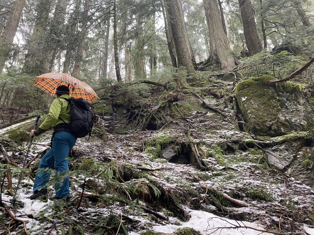
Oudi and I took turns bushwhacking, grabbing roots and shrubs in some sections to prevent slipping. Finally, we reached the Eagle Mountain viewless summit. It was only 300 m of distance and 100 m of elevation gain from the trail, but it took us close to 30 minutes to get to the summit. It had taken us about two and a half hours to reach the summit from the parking lot.

After a brief break, we descended directly south of the summit. It was a more gradual terrain to the south than the one we had come up on the southeast side of the mountain.
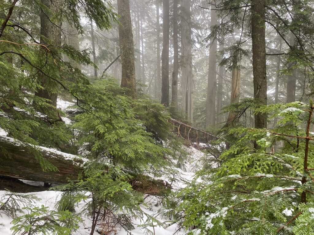
About halfway down, we took a long lunch break. My shoes and feet were wet, and the softshell pants and jacket didn’t keep me much dry either. The hot green tea with the samosa that Oudi had got for us was a relief.
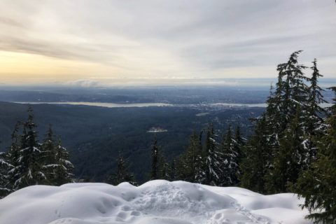
The weather cleared up as we descended the mountain, and we had better views. We were back at the Halvor Linden trailhead on Powerhouse Rd at about 3 pm. For a 10 km hike, it had taken us just under five hours, much longer than I expected, thanks to the final 100 m ascent to the summit.
Overall, it was a good hike, but I wish I had dressed for the weather. I was glad I had not invited Kavya and Kasturi to this “short” hike. Another time on a clear day.
Here is an interesting post from Coquitlam SAR about Halvor Lunden –
Territory Acknowledgement
I would like to acknowledge that this trip took place on the unceded territory of the Coast Salish peoples, including the territories of the Səl̓ílwətaʔ/Selilwitulh (Tsleil-Waututh), Stó:lō, xʷməθkwəy̓əm, Skwxwú7mesh (Squamish) and (Musqueam) Nations. I commit to learning about Indigenous peoples and issues and making reconciliation an ongoing effort.
Source: Indigenous Territory Guide Pronunciation Guide: First Nations.info
Resources:
GPX File: Steven Song – Eagle Mountain
BC Parks: Say Nuth Khaw Yum (Indian Arm) Provincial Park
Weather Forecast – SpotWx | Yr.No
AdventureSmart – Trip Planning
Disclosure: The links I have shared in the post and under the Resources section are not Affiliate Links.
Did you enjoy reading this post? Please subscribe to get weekly updates. Please share your feedback in the comments section below. Thank you!
