Kasturi was inspired by a blog post she had read on Kilimanjaro and floated the idea of doing a family trek. It would be the hardest trek we have done as a family and also the highest altitude (summit at 5895 m). After reading about different routes and talking to guiding companies, we decided to trek via the Alternative Lemosho Route with Kilimanjaro Experts.
Our initial plan was to trek during the peak (dry) season in July-August. However, due to flight prices and considering our climbing/ski season in Canada, we decided to trek in early December, towards the end of the short rainy season that runs from October to December.
I will do another post on choosing the guiding company, training, gear, vaccination, etc. In this post, I will share our trek experience and the details of the Alternative Lemosho Route.
Day 0 – Arriving in Arusha
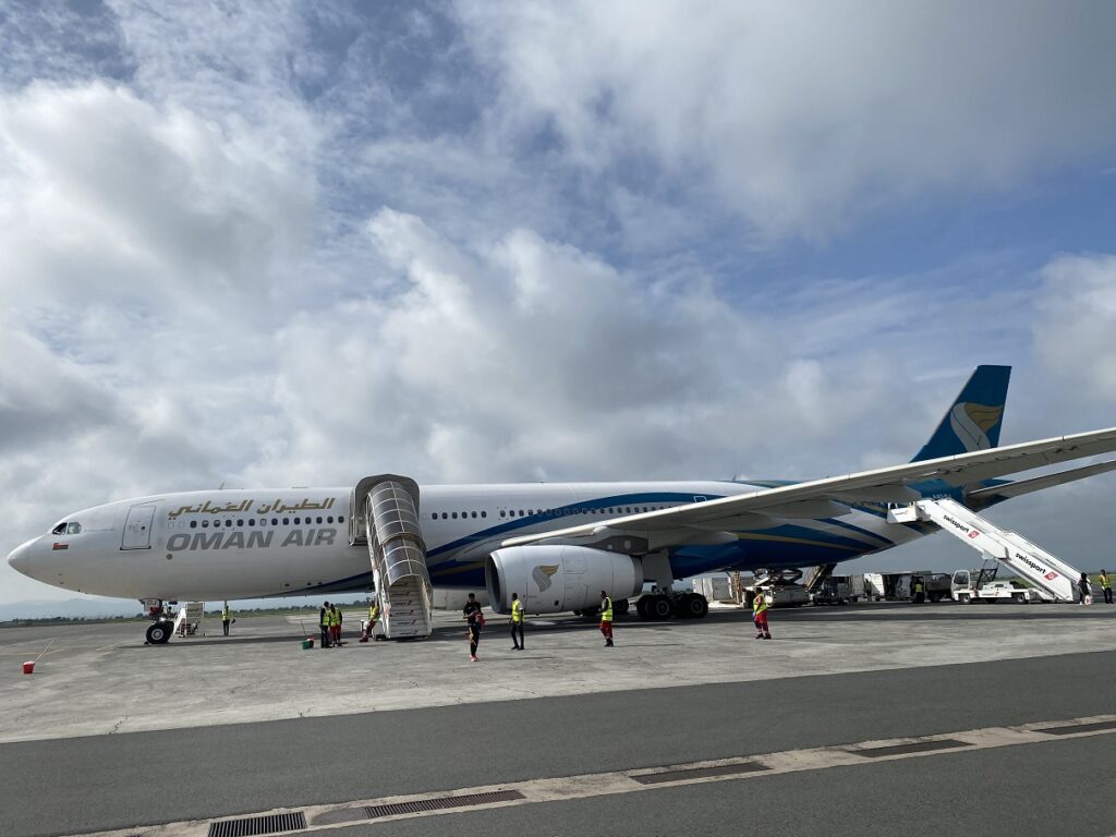
We arrived in Arusha on the morning of December 4. Although I was not expecting him, Rajabu, our lead guide, came to receive us at the airport. After about an hour’s drive, we were in Arusha and checked in to Outpost Lodge.
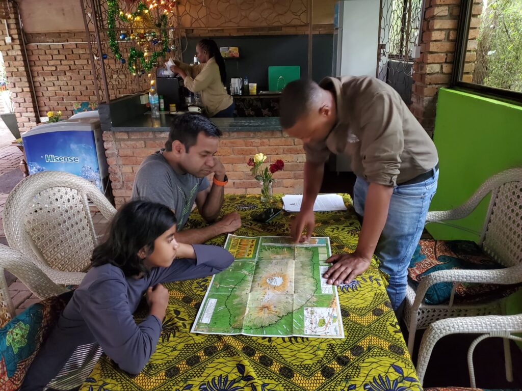
Rajabu came back to the lodge in the evening for the gear review. We had all the gear spread out in our room, and he reviewed each item for all three of us. Later, we moved to the restaurant area in the lodge to review the trek route and the plan at a high level.
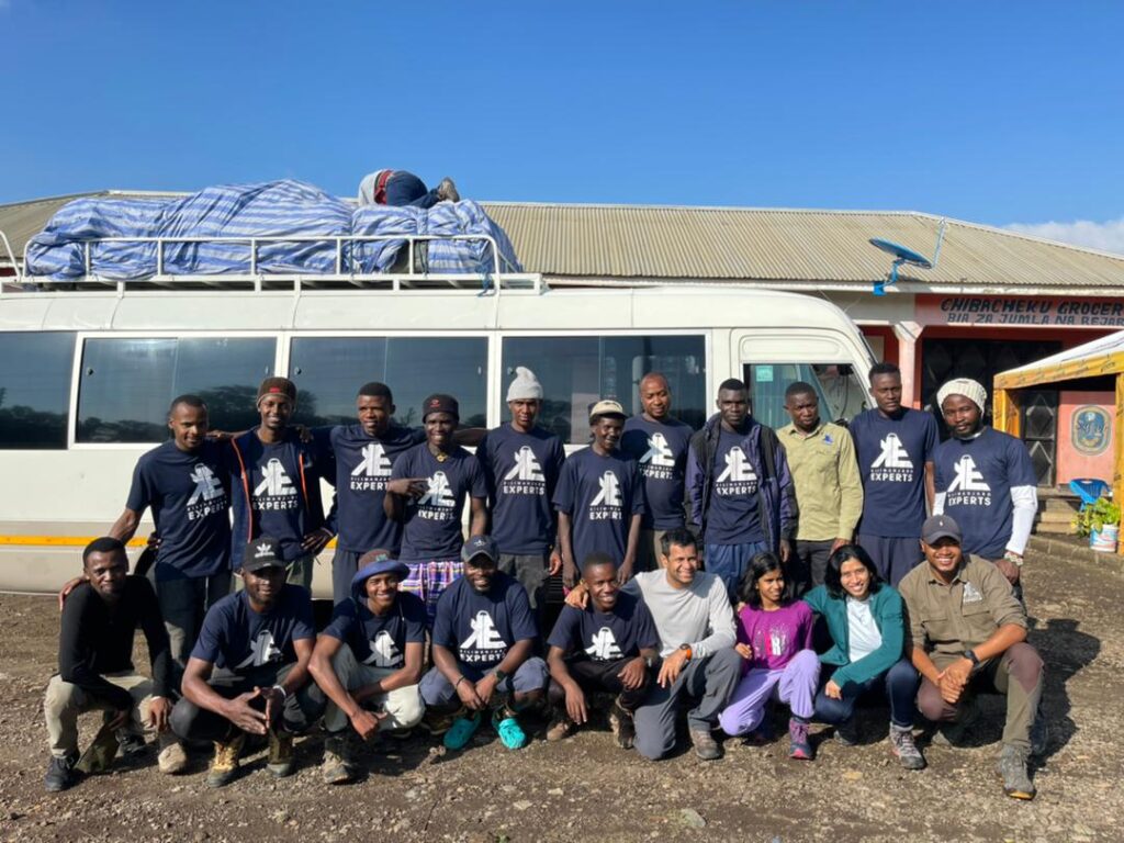
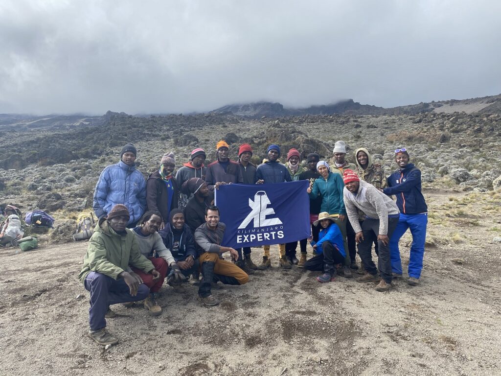
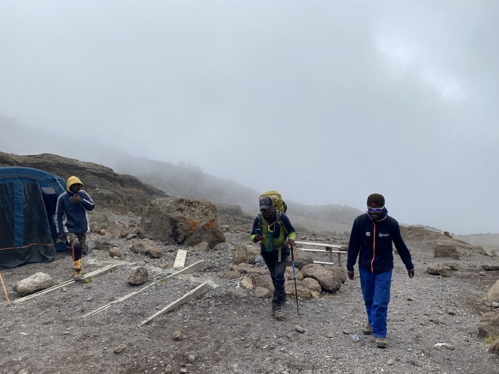
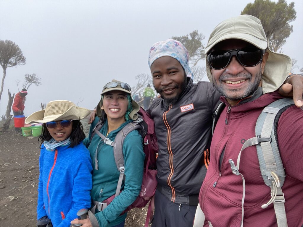
In addition to Rajabu, we would have another guide, Dickson, a cook and fourteen porters. Yes, fourteen! A total crew of 17 for three of us. While I had read about this before, it was still shocking. However, as we realized later, it is the norm for a fully supported trek on Kilimanjaro.
Rajabu mentioned that he didn’t share every detail of the trip to avoid overwhelming us and getting us stressed out about the trek. His attention to detail and his easy-going approach impressed us.
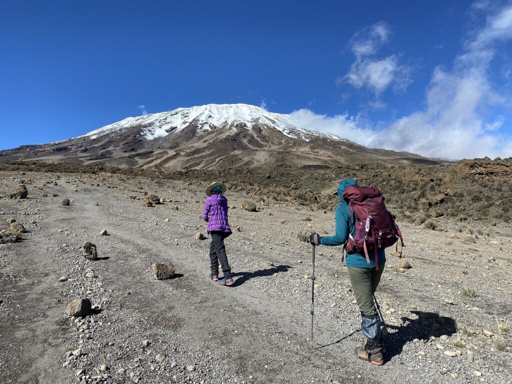
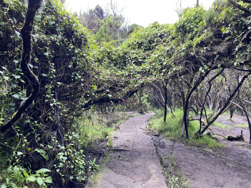
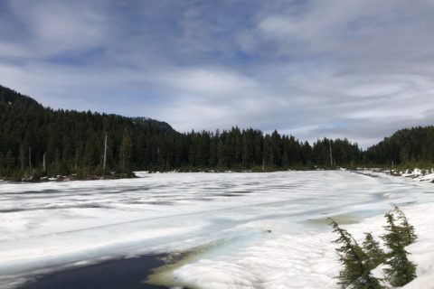
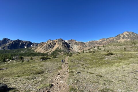
Day 1 – Lemosho Glades (2389 m) to Mti Mkubwa (Big Tree) Camp (2785 m)
4.8 km, 396 m elevation gain, Hike through Montane Forest Zone
Please note that I am listing the distance, elevation, etc., as given in the Kilimanjaro Experts Alternative Lemosho Route itinerary. I found these to be more accurate and pretty close to what I recorded on my watch. Elevation gain is absolute, i.e., the difference between two campsites, and is not cumulative (that considers all the ups and downs on the trail).
After breakfast, we loaded our duffel bags and day packs in a minibus and made our way to the Kilimanjaro Experts office, where we would pick up the rest of the crew.
Joshua from Kilimanjaro Experts welcomed us, and while we signed a few forms, the porters loaded all the group gear on the bus. After about half an hour, we were on the road again. The minibus was full, and we were still in awe of the size of our crew – 17 people for three trekkers.
Finally, we arrived at Lemosho Glades around noon. Here, we met a few other groups – most planning to trek via the Lemosho Route. A few of the trekkers we talked to were from the US, Spain and a fellow Canadian from Montreal.
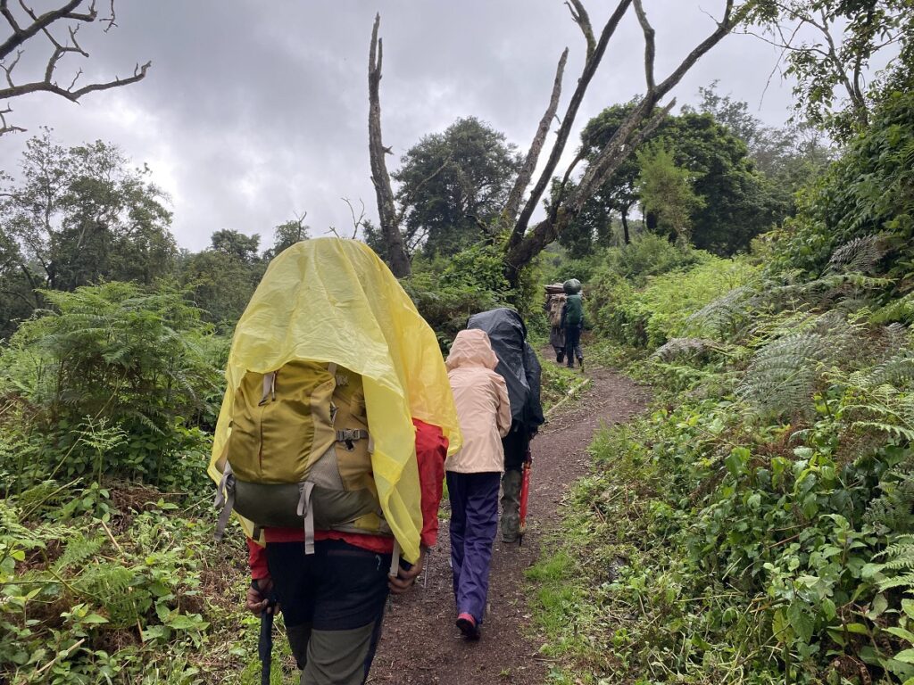
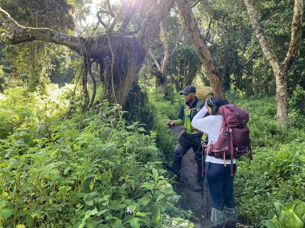
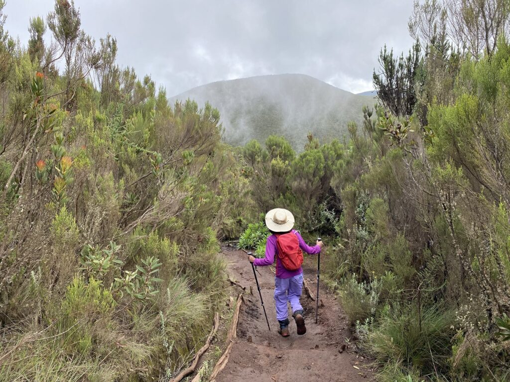
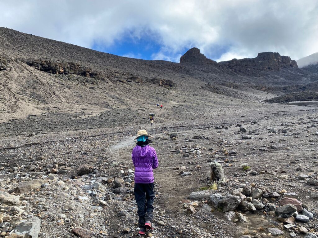
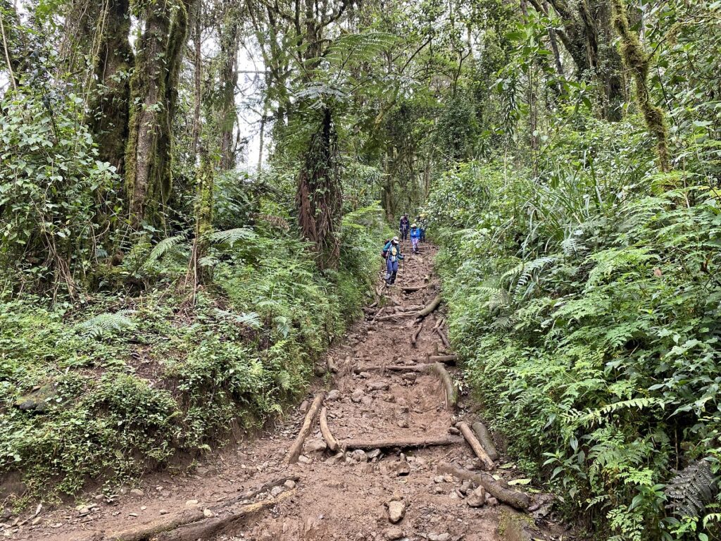
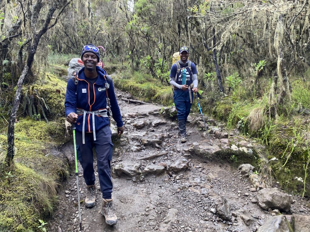
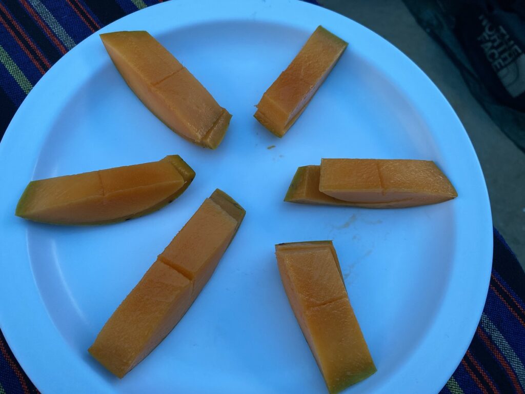
At the shelter, we had our (boxed) lunch, including a sandwich, apple, mango juice, chocolates, etc. It was drizzling on and off, so we had our rain gear out. Finally, around 1 pm, we started the hike. Today, our hike would be in the “montane (mountain) forest” zone – one of the four zones we would experience on our trek.
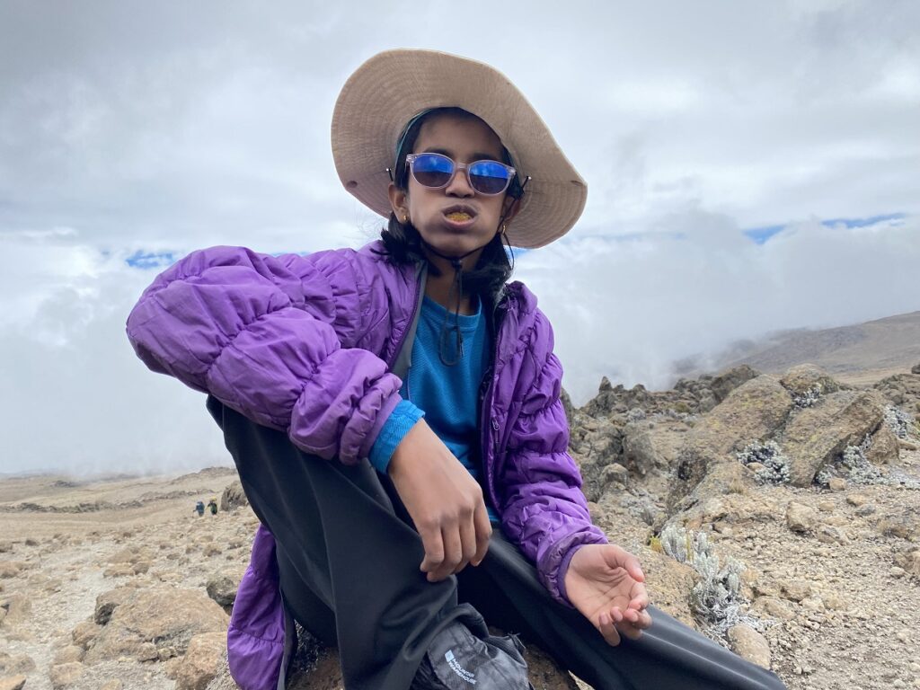
Dickson was in the front and set a slow and steady pace for our group. The porters had already taken off with our duffel bags and the rest of the gear, and we were carrying our day packs. My 70L pack with water, snacks and other gear weighed about 18-20 lbs. Kasturi’s 50L pack was probably under 15 lbs, and Kavya carried a small 12L pack with her water, snacks and jacket.
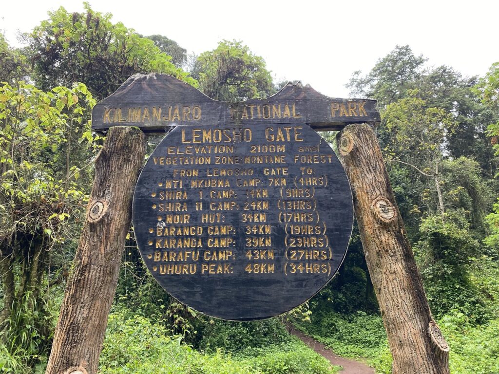
Soon, the trail dropped down to the Lemosho Gate sign. The trail sign read 2100 m, but it was around 2385 m (based on the maps and altitude captured by phone). It was also inconsistent with the route details Henry (Kilimanjaro Experts co-owner) shared with us. From then on, we knew not to trust the signage on the mountain.
Further along the trail, Rajabu spotted the colobus monkeys with bushy white tails. He mentioned that these monkeys do not have thumbs and rarely come down from the trees. He also warned us about the stinging nettle on the trail, which I eventually managed to touch and had my fingers stinging for a while.
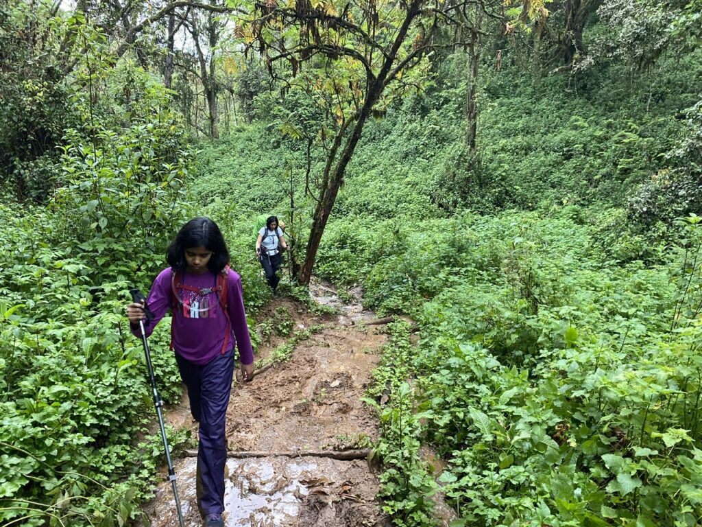
Higher up, the trail got muddy and then really muddy. I wish I had our gaiters on as it would have provided some protection for our shoes and pants.
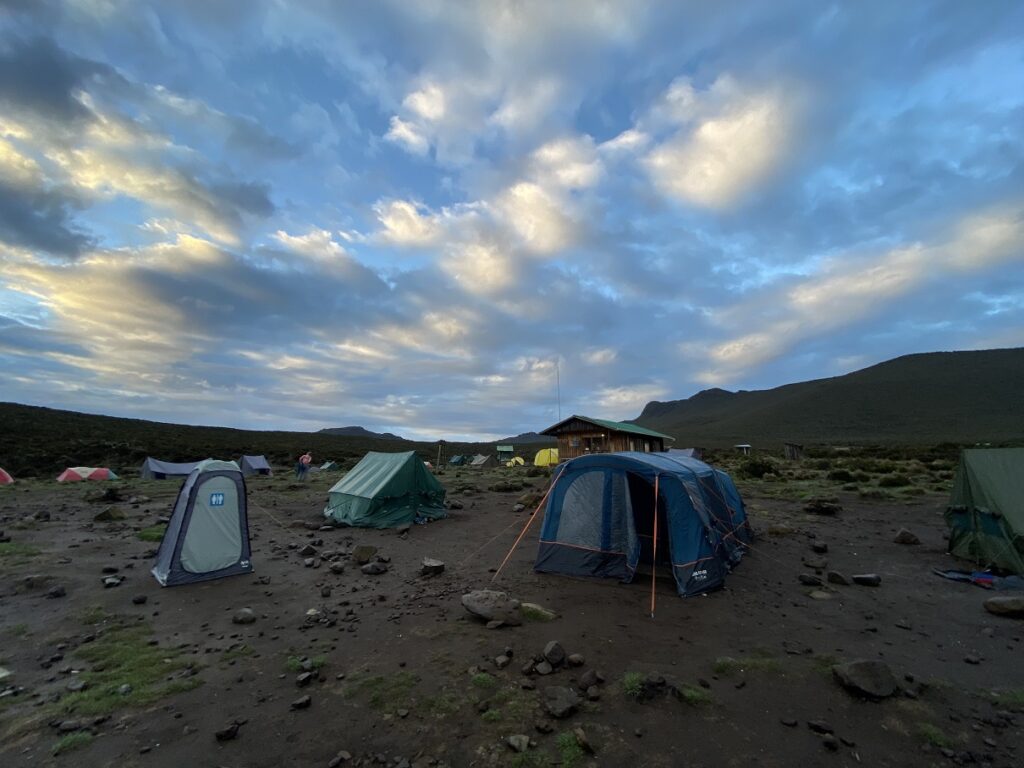
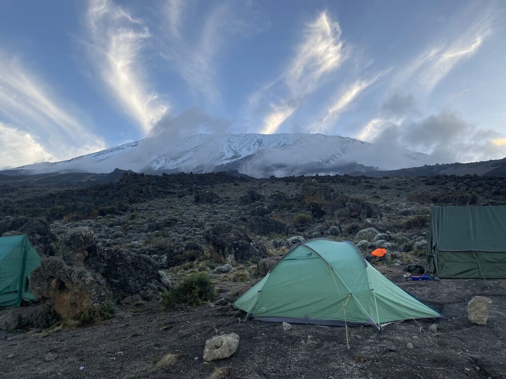
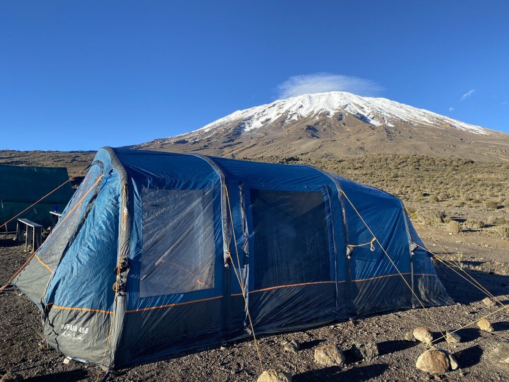
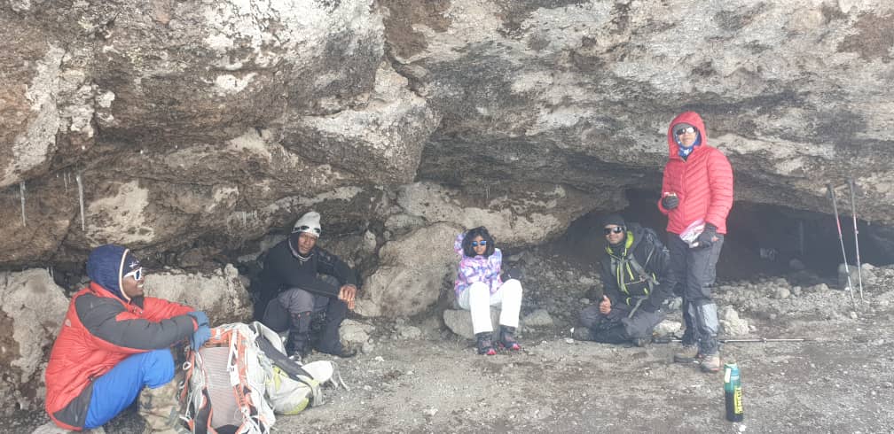
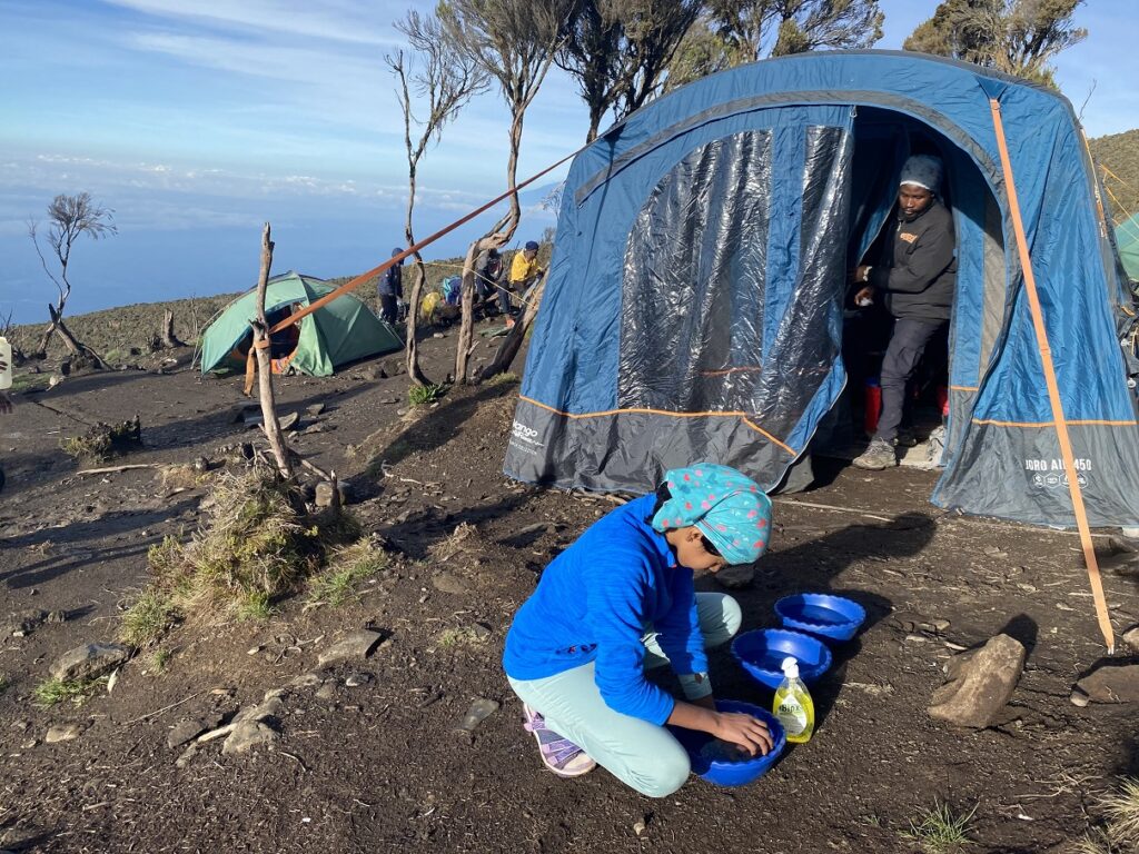
It took us about two and a half hours to arrive at the Mti Mkubwa (Big Tree) Camp. After the registration at the ranger’s office, Rajabu showed us around the camp.
Mti Mkubwa Campsite
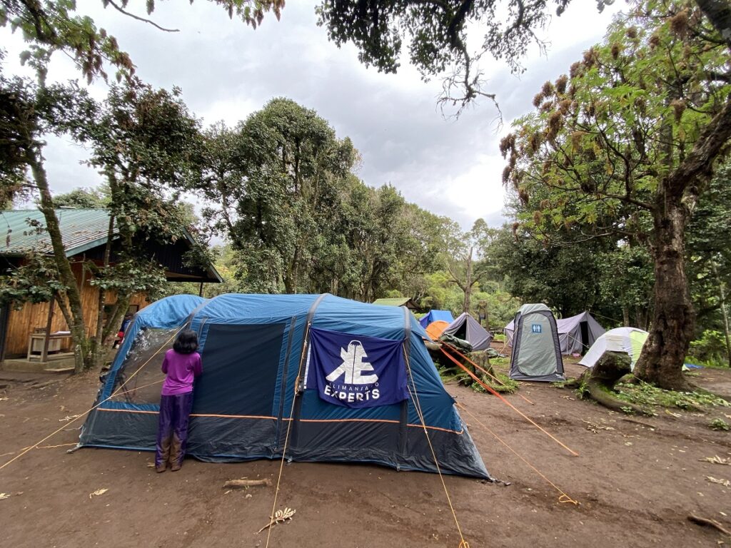
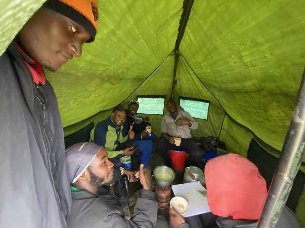
Our tent was spacious with a standing room and had three sections. First, an entrance area, we used to put our boots, poles and other gear when it was wet. Second – dining area with tables and chairs, and had enough room for our duffel bags and day packs. Finally, at the back was the sleeping area with thick mattresses and enough room to sleep at least 4-5 people.
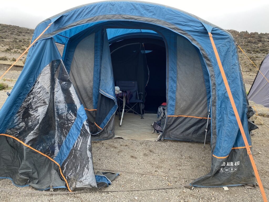
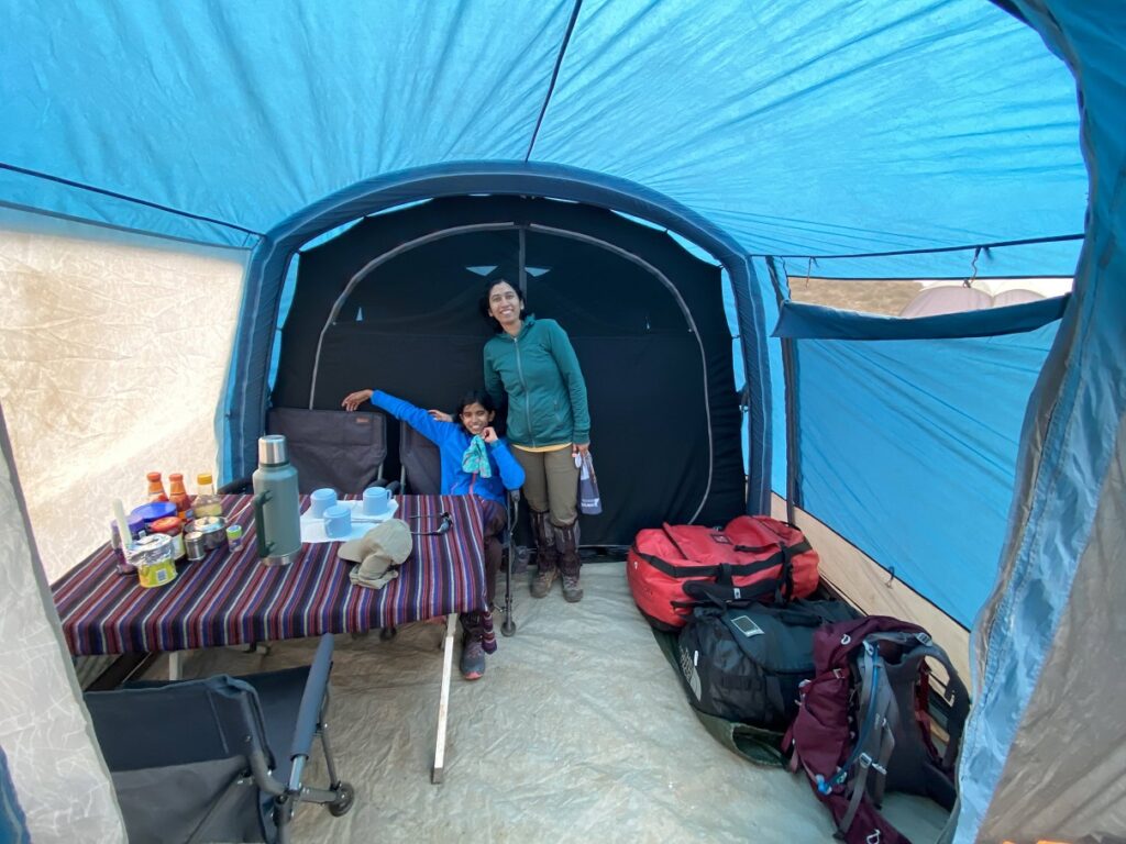
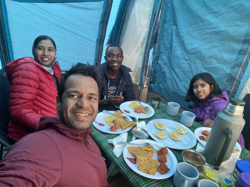
Our crew used the public pit toilets provided at each campsite. But these are not always hygienic, so we had a portable chemical toilet in a tent, and Shedrack was assigned to manage it. Leopard was the cook for the entire crew. Ayoubu gave us our wake-up call and served our breakfast, snacks, lunch and dinner in the tent.
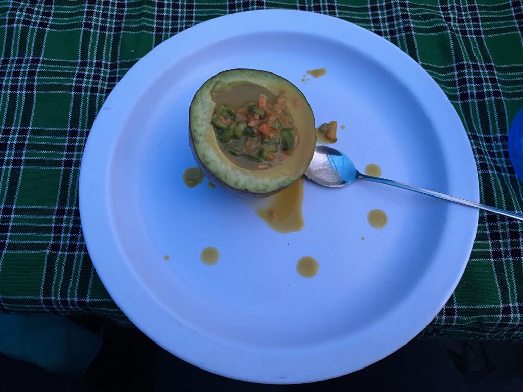
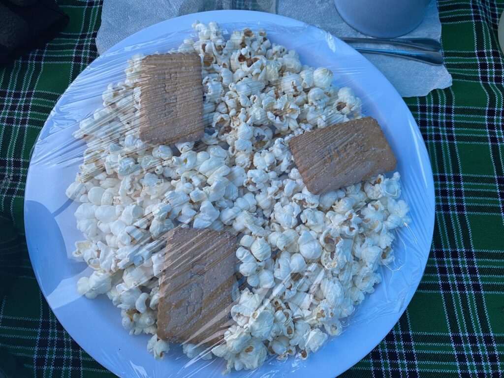
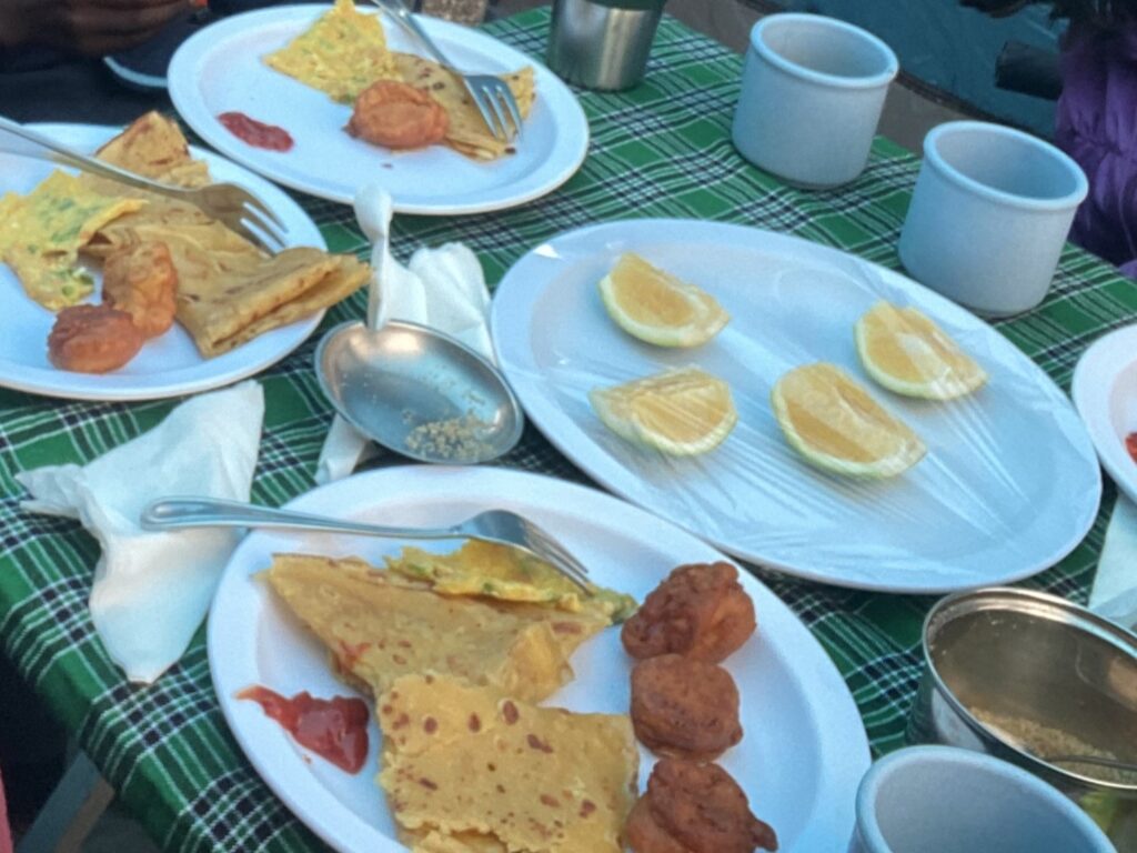
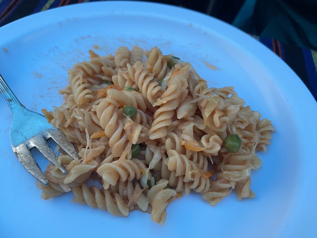
Typically, around 5 pm, we got hot water for tea/coffee/hot chocolate and popcorn/biscuits for evening snacks. Dinner was served around 7 pm, and it was a three-course meal. Vegetable soup followed by chef’s special for the day (pasta, veg rice, chapati rolls, etc.) and then some fruits. Breakfast started with porridge and then a combination of omelette, toast, pancakes, etc., followed by fruits. Every meal, we would have either Rajabu or Dickson join us to check how we were doing and discuss the plan for the next section of the hike.
Looking at this luxurious setup and the variety of food served on the mountain, the size of our crew now made sense. However, after this royal treatment, I wondered if Kavya would ever agree to our minimalist backpacking trips in Canada.
Later in the evening, Rajabu took our first oximeter reading that measures oxygen saturation – SpO2 and heart rate.
Oximeter – Mti Mkubwa Camp, Altitude – 2785 m
Kavya – SpO2 95, HR 108
Kasturi – SpO2 97, HR 87
Shashi – SpO2 97, HR 62
Oximeter reading was taken each evening and the next morning before we started the hike. I am just sharing the reading from the evening.
In addition to the oximeter reading, Rajabu and Dickson also asked us questions about how we were feeling – dizziness, headache, nausea, appetite, congestion, cough, etc. Overall, I felt the guides did a great job of assessing symptoms of altitude sickness and how we were doing on the mountain.
Later in the evening, I checked the registry, and there were 15 other trekkers from the US, Spain, Netherlands, Germany, Switzerland, Russia, etc.
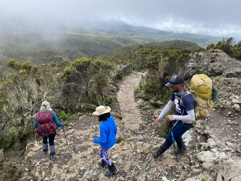
Day 2 – Mti Mkubwa Camp (2785 m) to Shira 1 Camp (3504 m)
7.9 km, 719 m net elevation gain, Hike through Montane Forest and Moorland Zones
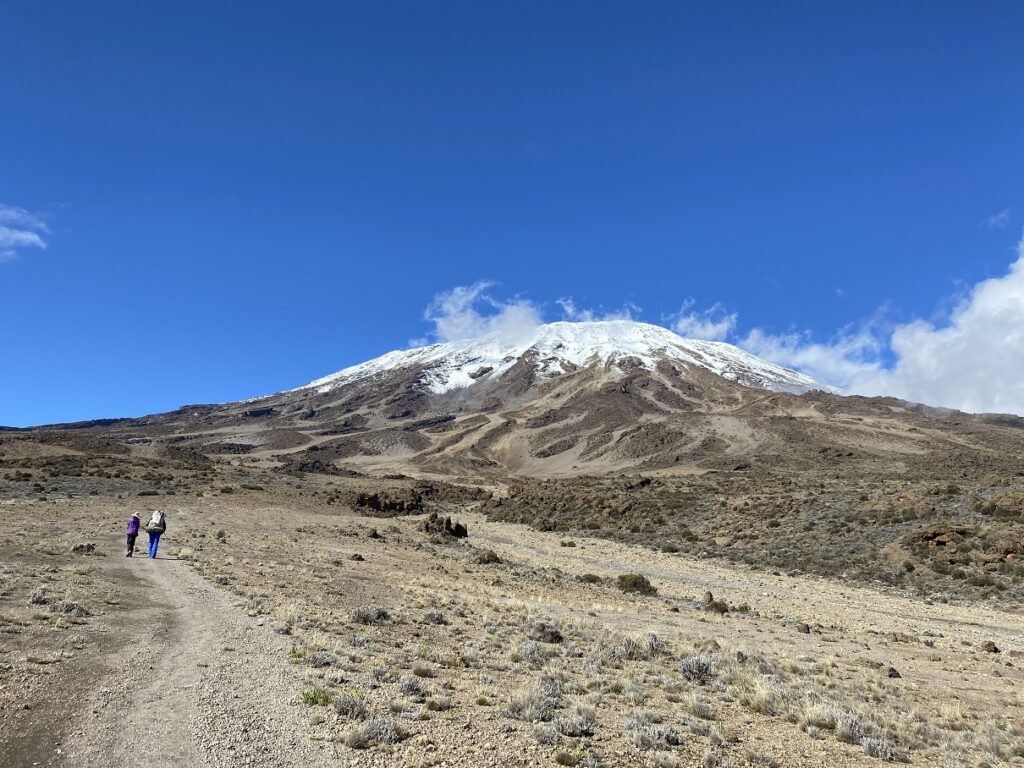
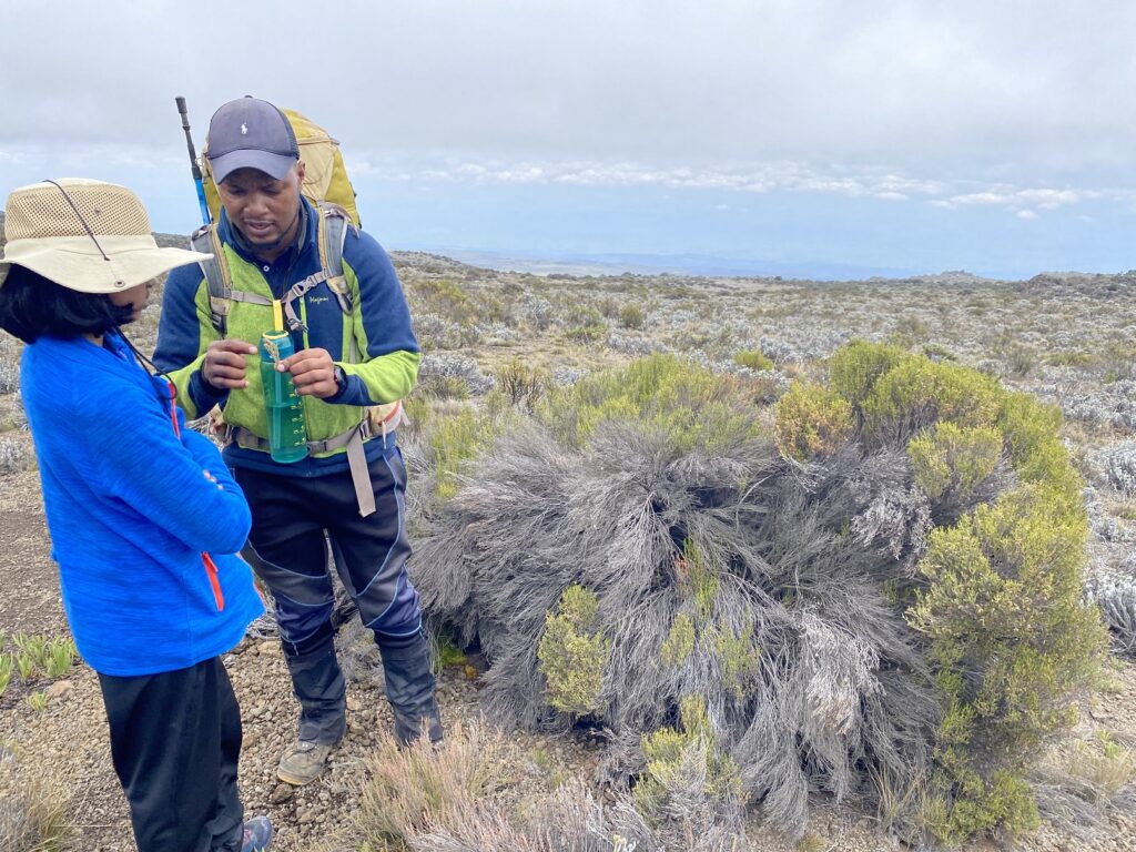
Today, Rajabu was in the front, and it took us about an hour to get out of the forest. He continued to share his knowledge of different plants as we hiked through the forest and then the moorland.
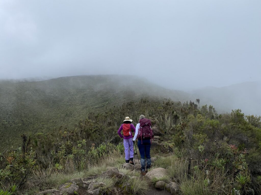
It was cloudy, but we had some beautiful views of the mountains around us. For a while, we had sections of rolling hills before we began our final climb on the Shira Ridge.
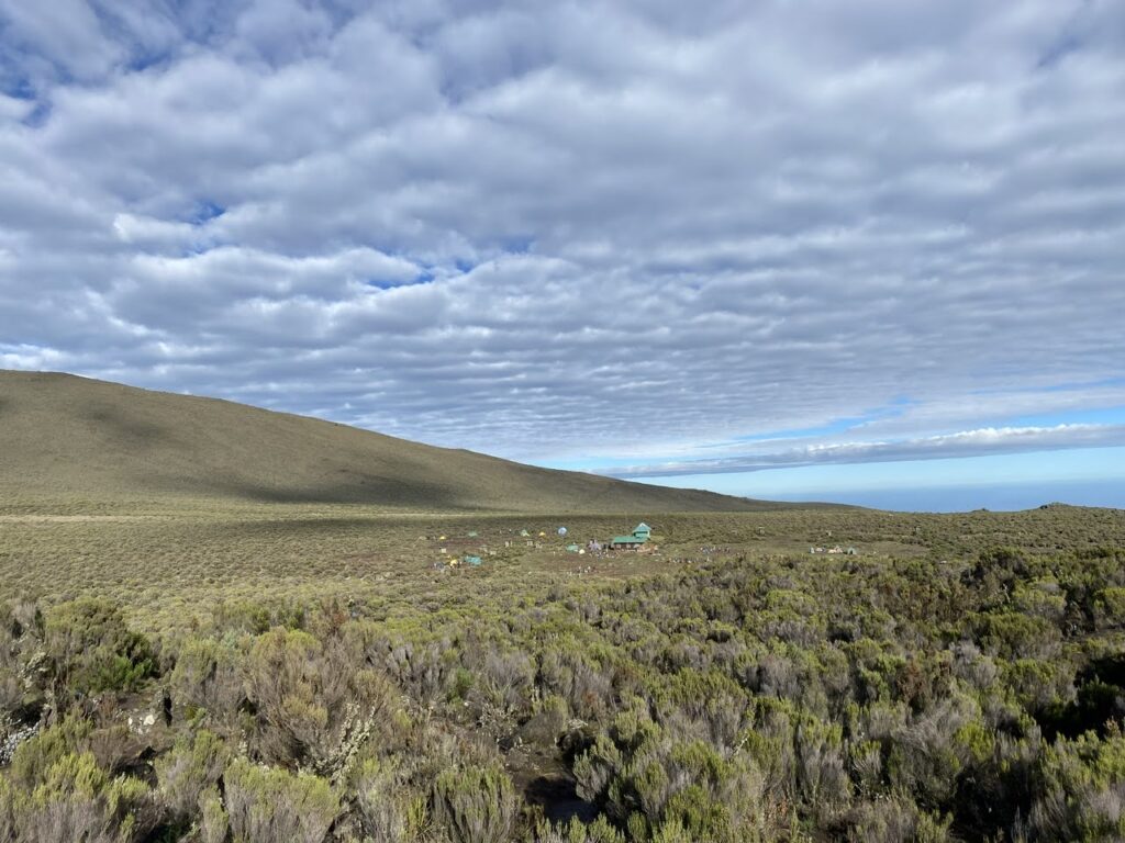
About five hours into the hike, around 1 pm, we reached a high point and could see Shira 1 camp. It was just over a km away, and it took us another 30 minutes to arrive at the campsite. Right as we entered the tent, it started pouring. Good timing. After lunch, we all slept for a couple of hours.
Later in the evening, we got our first glimpse of the Kilimanjaro (Kibo) Summit. Around dinner, it was time for an oximeter reading.
Oximeter – Shira 1 Camp – 3504 m
Kavya – SpO2 92, HR 108
Kasturi – SpO2 94, HR 95
Shashi – SpO2 92, HR 78
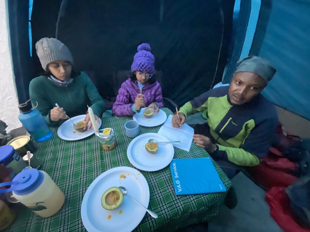
Kavya was starting to lose her appetite, and the vinegar-honey sauce in the vegetables was triggering nausea. Later, we requested our cook not to use this sauce and just cook the vegetables with salt and pepper and keep it simple.
Kavya continued to have a minimal appetite for the rest of the trek. She survived on candies and hot chocolate. Probably the only time I encouraged her to eat more candies.
Kasturi didn’t have a great appetite either but was at least forcing herself to eat more. On the other hand, I was eating well, a bit too well and was wondering if I would put on weight by the time I finished the trek.
The weather was not great in the evening, so we skipped the acclimatization hike.
Day 3 – Shira 1 Camp (3504 m) to Moir Hut (4161 m)
9.4 km, 657 m net elevation gain, Hike through Moorland Zone
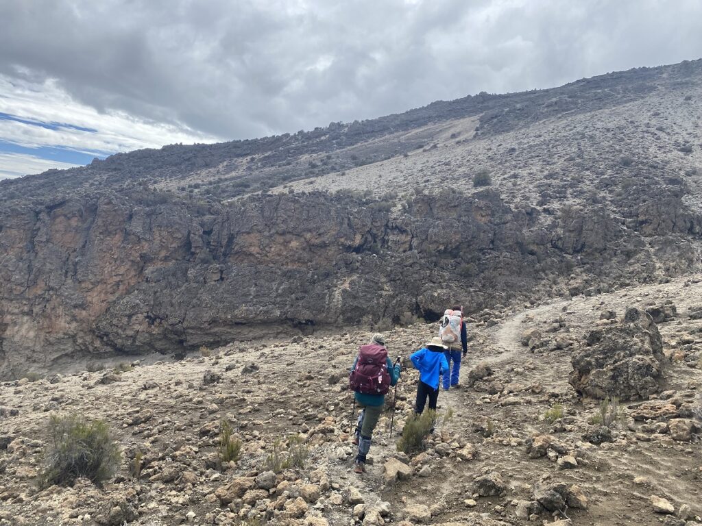
The clouds were clearing up in the morning, and we had great weather when we started hiking around 8 am. The trail across the Shira Plateau was relatively flat, and Dickson set a good pace for us.
About an hour and a half into the hike, we crossed the Shira Service Road. Although we didn’t see any cars, it still felt like we were somehow connected to the city for a brief moment.
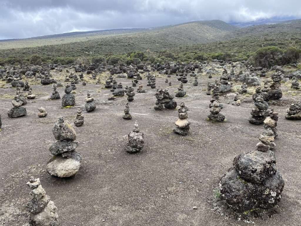
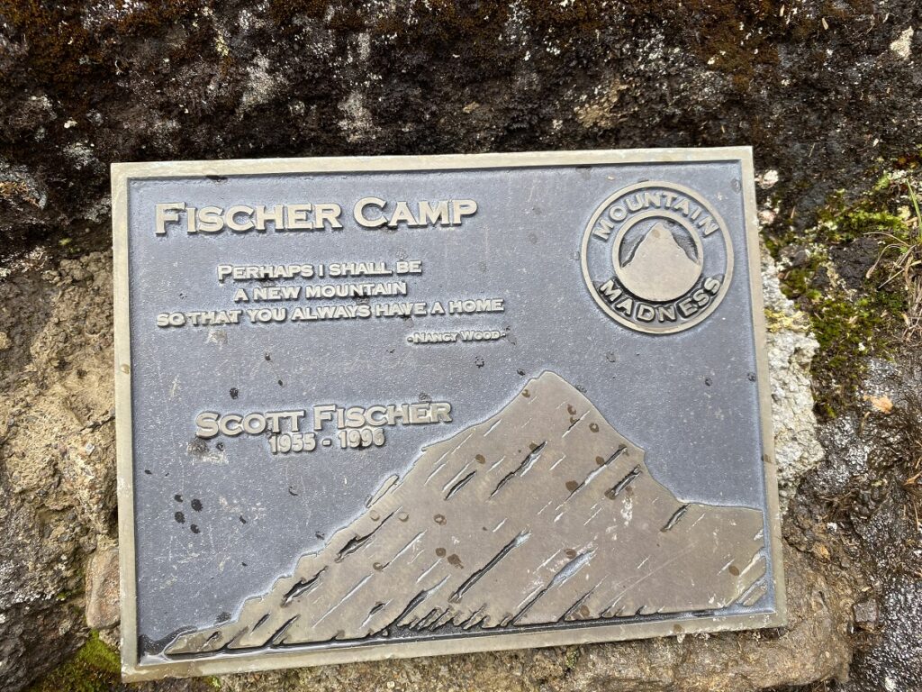
On our way, we saw an open area that had cairns of different lengths and sizes – a “cairn city” on Kilimanjaro. As we approached Fischer Camp (no longer used as a campsite), the trail got a bit steeper relative to the flat trail we had for the last three and a half hours.
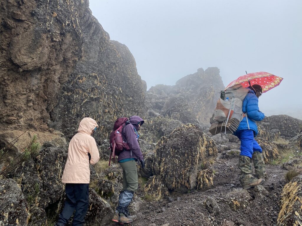
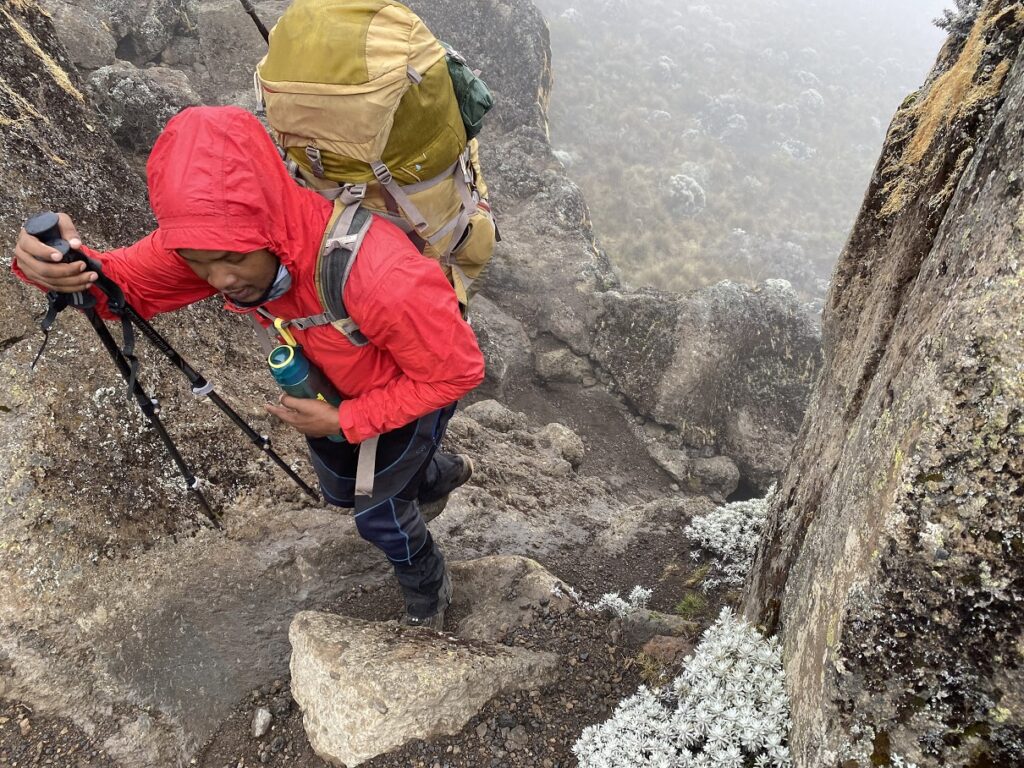
Later the rain picked up, Dickson got his colourful umbrella out, which matched his always cheerful personality.

The final stretch to Moir Hut was mentally challenging for Kavya. She was expecting to see the campsite as we hiked up the final slope, but it was nowhere in sight. I tried to motivate her by saying we only have “our home to school” distance left (less than a km). But at 4000 m and in heavy rain, the trail seemed to go on forever. Later at camp, she told me that these distance comparisons between Kilimanjaro and the trails back home were not helping. I had to get more creative.
Finally, around 1:15 pm, we reached Moir Hut, just over five hours from Shira 1 camp. It took Kasturi another 15-20 minutes to reach the campsite. She said that she had the strangest feeling on the last section of the hike, as she blacked out for a split second and took a fall, hurting her left thumbnail.
Oximeter – Moir Hut – 4161 m
Kavya – SpO2 76, HR 123
Kasturi – SpO2 87, HR 87
Shashi – SpO2 90, HR 76
Based on Rajabu’s recommendation, Kasturi and Kavya started taking Diamox (twice a day). I had a slight headache, but it usually went away after an afternoon nap or by the next day morning.
The weather was not great in the evening, and both Kasturi and Kavya were really tired. So, we didn’t do the acclimatization hike at Moir Hut.
Day 4 – Moir Hut (4161 m) to 2nd Pofu Campsite (4033 m)
9.2 km, 128 m net elevation loss, Hike through Moorland Zone
The start to our fourth day of the hike was hard as we slowly made our way up the steep slope to an elevation of 4300 m. This altitude was higher than what Kavya had reached on the Gidara Bugyal trek (4266 m) last year in India.
Our pace was very slow compared to the previous three days. But Dickson and Rajabu encouraged us to continue “Pole Pole” (slowly). It was good to know that the hardest part of the hike today was behind us.
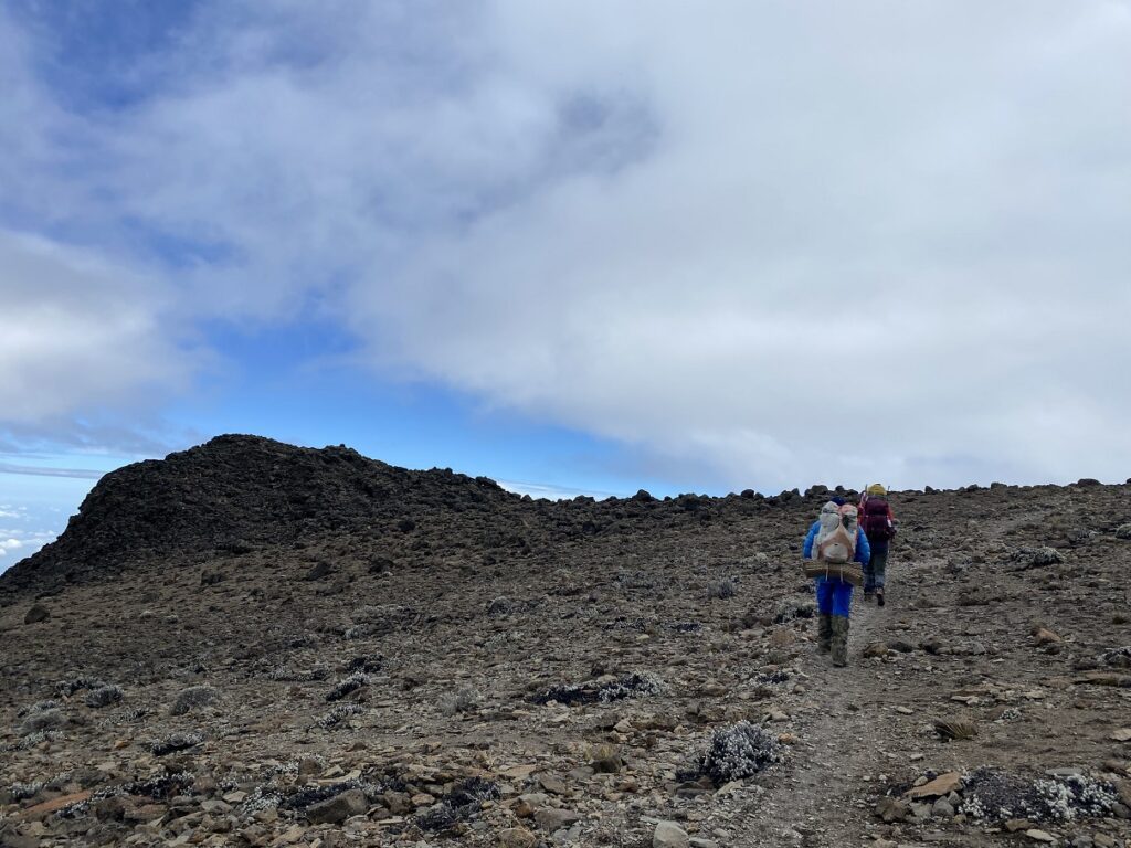
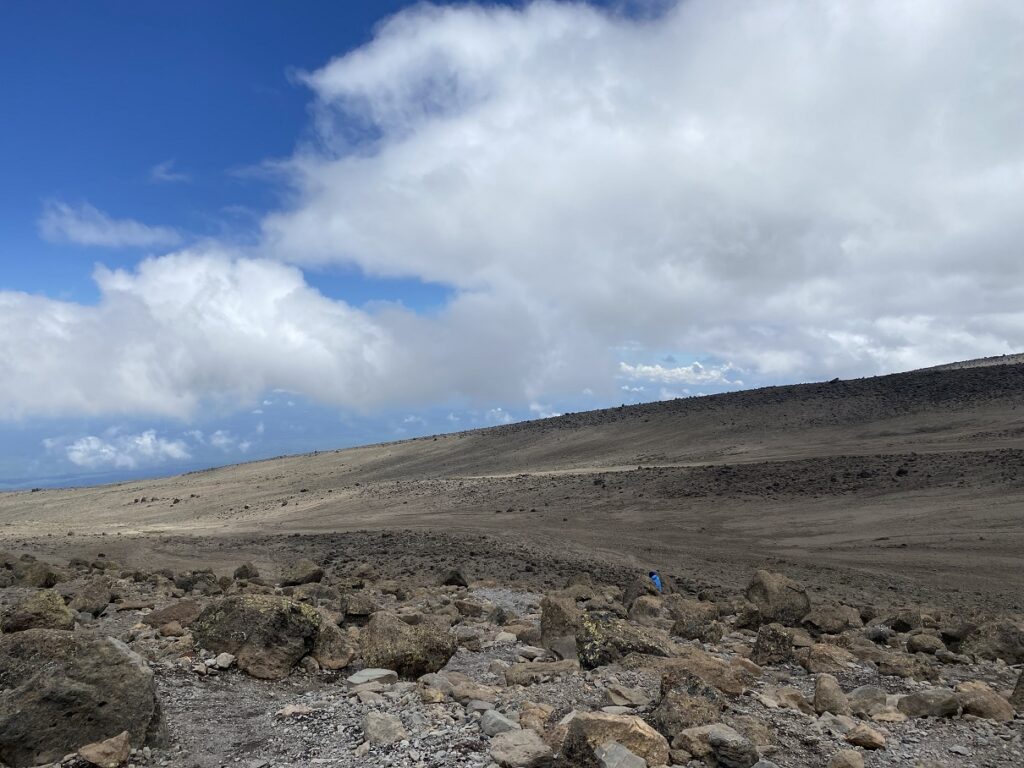
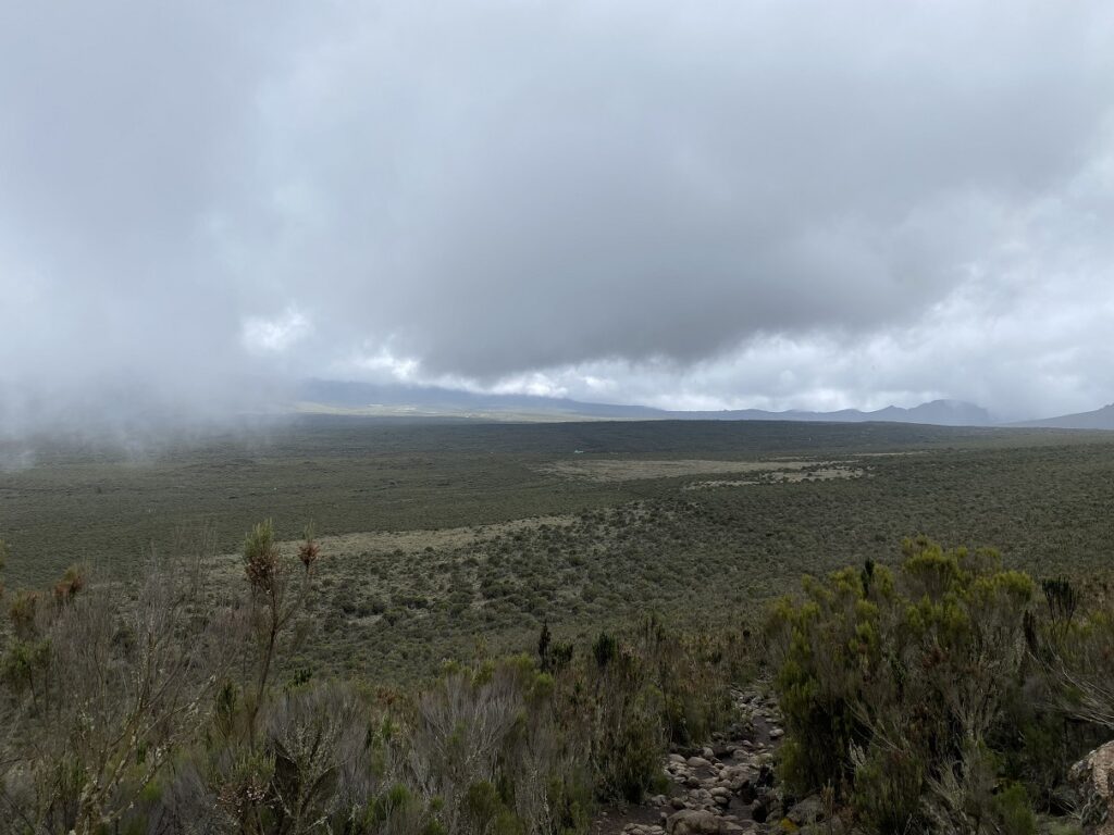
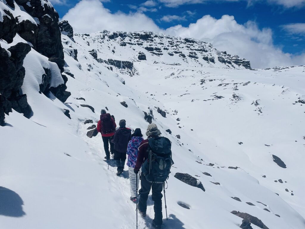
As we traversed across the Northern slope of the mountain, the terrain in some places seemed very similar to the one on Cathedral Lakes Rim Trail – barren and rocky. Down the mountain slopes, we could see the area bordering Tanzania and Kenya. After hiking up and down several valleys, we were on the last stretch to the 2nd Pofu Campsite.
We had to climb a final slope, and then the campsite would be a short walk down. That short walk turned out to be more than a km and took more than 30 minutes. In total, it had taken more than five and a half hours for us to cover close to 10 km.
Oximeter – 2nd Pofu Campsite – 4033 m
Kavya – SpO2 87, HR 99 (on Diamox)
Kasturi – SpO2 92, HR 98 (on Diamox)
Shashi – SpO2 92, HR 75
After dinner, Dickson shared the lyrics of the Jambo Bwana song and also helped us translate a few lines that we had put together to thank the staff.
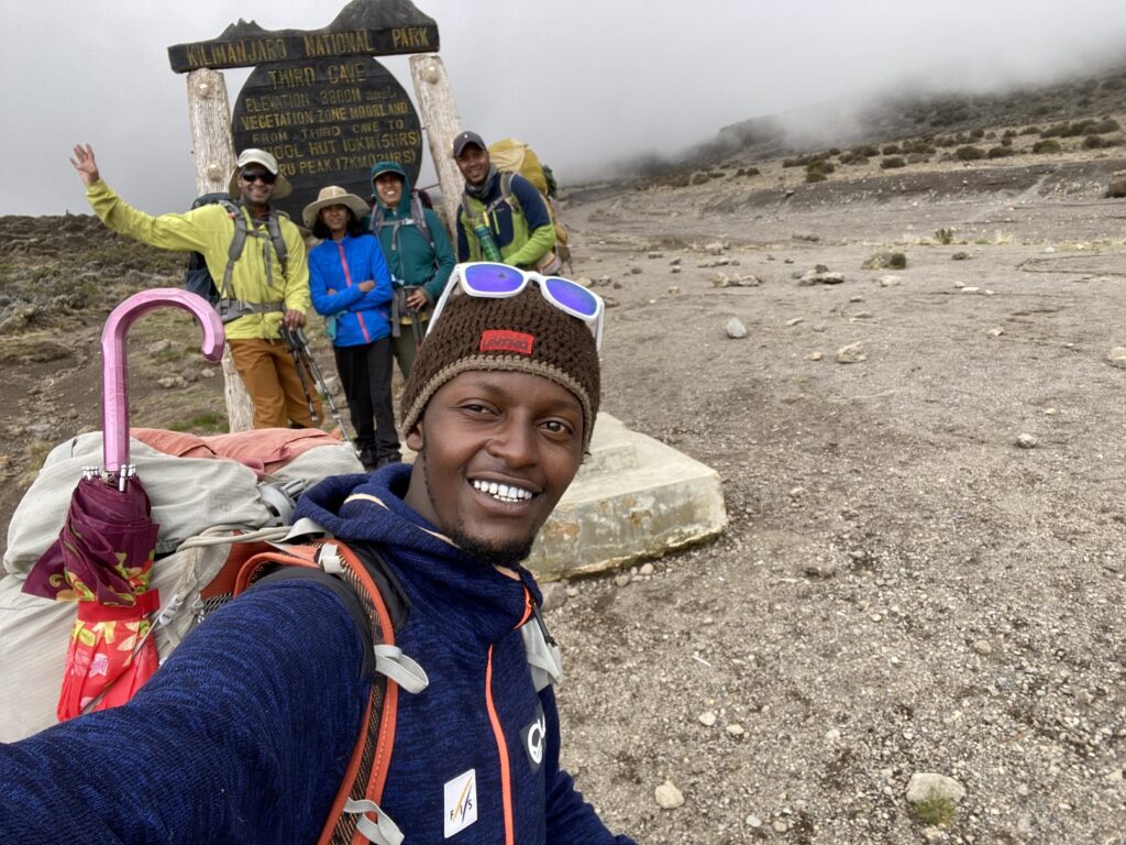
Day 5 – 2nd Pofu Campsite (4033 m) to Third Cave Campsite (3936 m)
6.8 km, 97 m net elevation loss, Hike through Moorland Zone
The fifth day was going to be an easy day, so we had a late start. Amoni – the youngest (21) of all the porters and an aspiring guide, joined us for breakfast.
Amoni was a bit nervous, but we had a good conversation about the courses he is taking, French lessons, his tribe named HeHe and his family. As we packed up and got ready to leave, Rajabu gathered everyone. After a round of introductions, he started singing the Jambo Bwana song. He has a beautiful and soothing voice.
Reagan, one of the porters, stepped out and started dancing. Fanuel joined him, and later, I joined them to provide some more entertainment. Fun times!
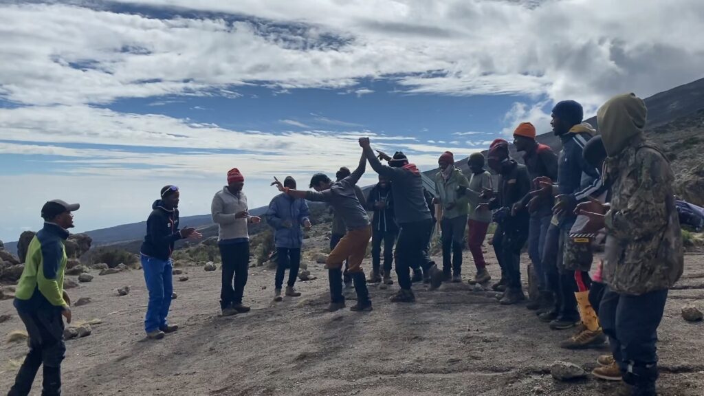
After the song and dance performance, we read from our notes and thanked everyone in Swahili. I don’t know how much they understood us, but they seemed surprised and happy. It looked like this top-notch crew would continue to support us in our slow march to the summit.
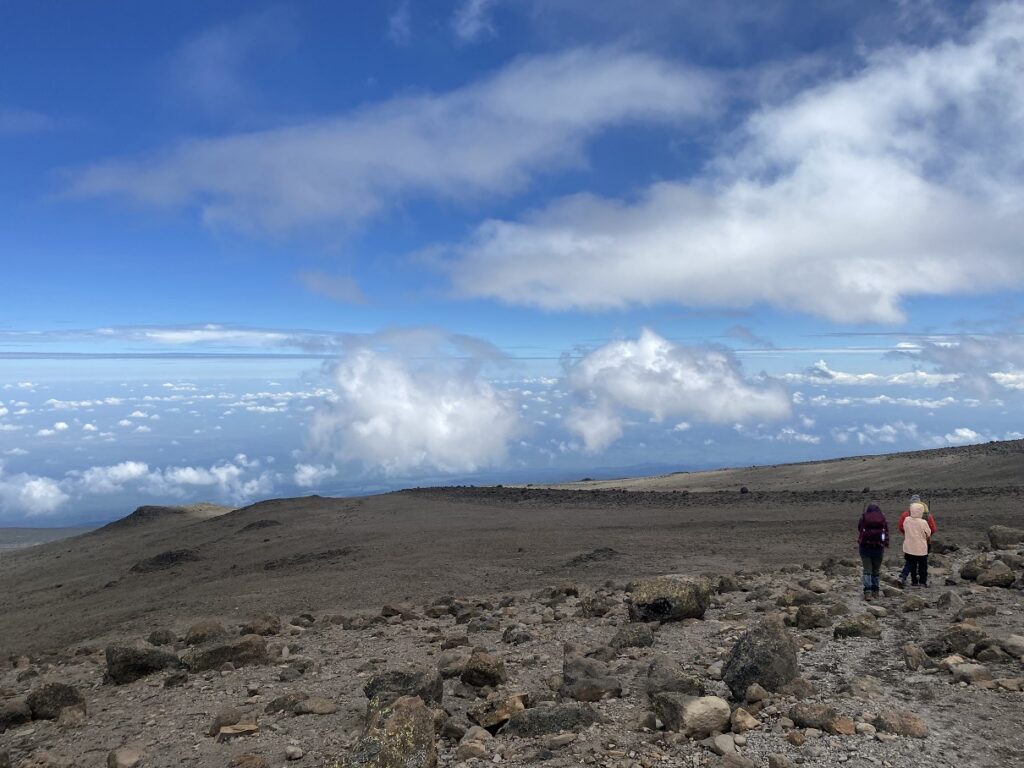
Around 9:30 am, we left the 2nd Pofu Campsite. We were hiking through the Moorland Zone, and on the Northern side, it was drier compared to the previous days.
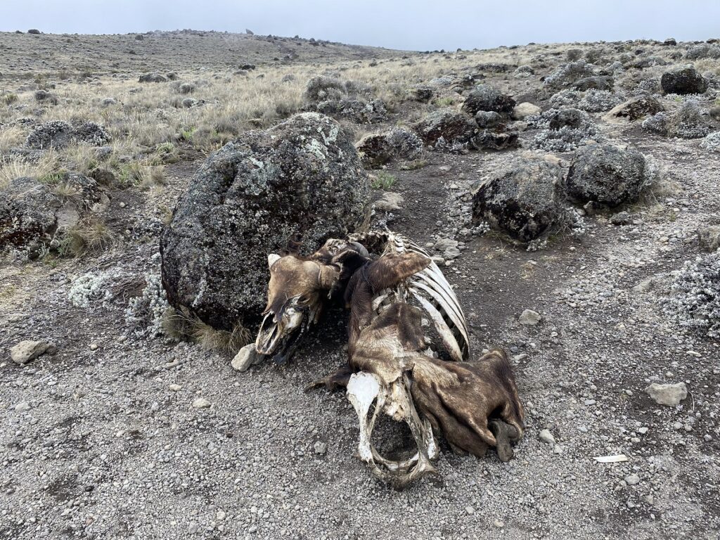
On the trail, Dickson pointed to buffalo (Pofu) footprints and the origin of the campsite name. Based on all the stories I heard from Rajabu, buffaloes are not to be messed with, and thankfully, none were around when we were hiking.
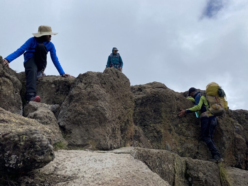
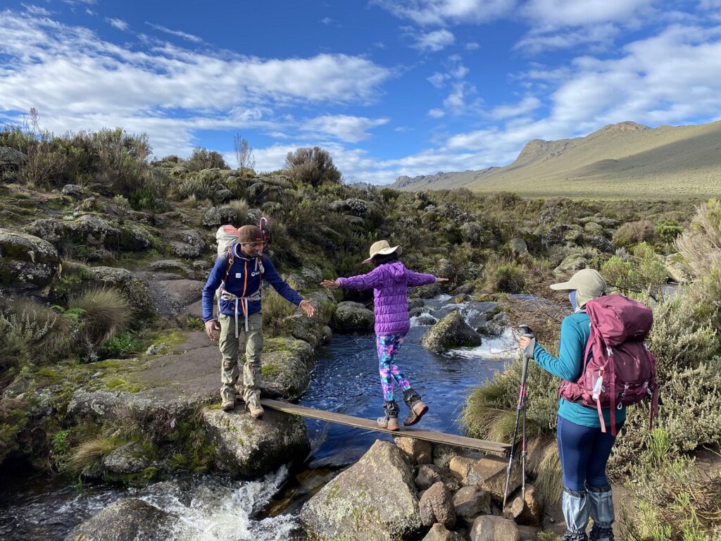
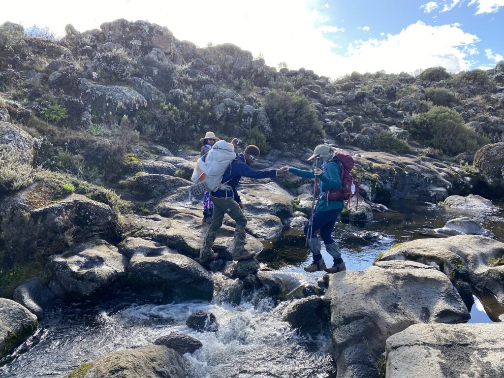
Along the trail, there were some sections where we had to scramble down or hop on boulders, and this was Kavya’s favourite part. In one section, Rajabu was explaining how to carefully walk across a small ledge, but she was already halfway down by the time he turned around.
Kavya was enjoying the hike and ran across the river bed to the Third Cave Campsite. We were all smiling and happy that Kavya was feeling better. The hike was shorter (6 km) than expected, and we arrived at the campsite after three hours of hiking at around 12:30 pm.
Oximeter – Third Cave Campsite – 3936 m
Kavya – SpO2 89, HR 104 (on Diamox)
Kasturi – SpO2 91, HR 84 (on Diamox)
Shashi – SpO2 95, HR 59
Day 6 – Third Cave Campsite (3936 m) to School Hut (4717 m)
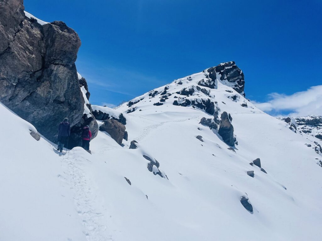
4.9 km, 781 m net elevation gain, Hike through Moorland and Alpine Desert Zones
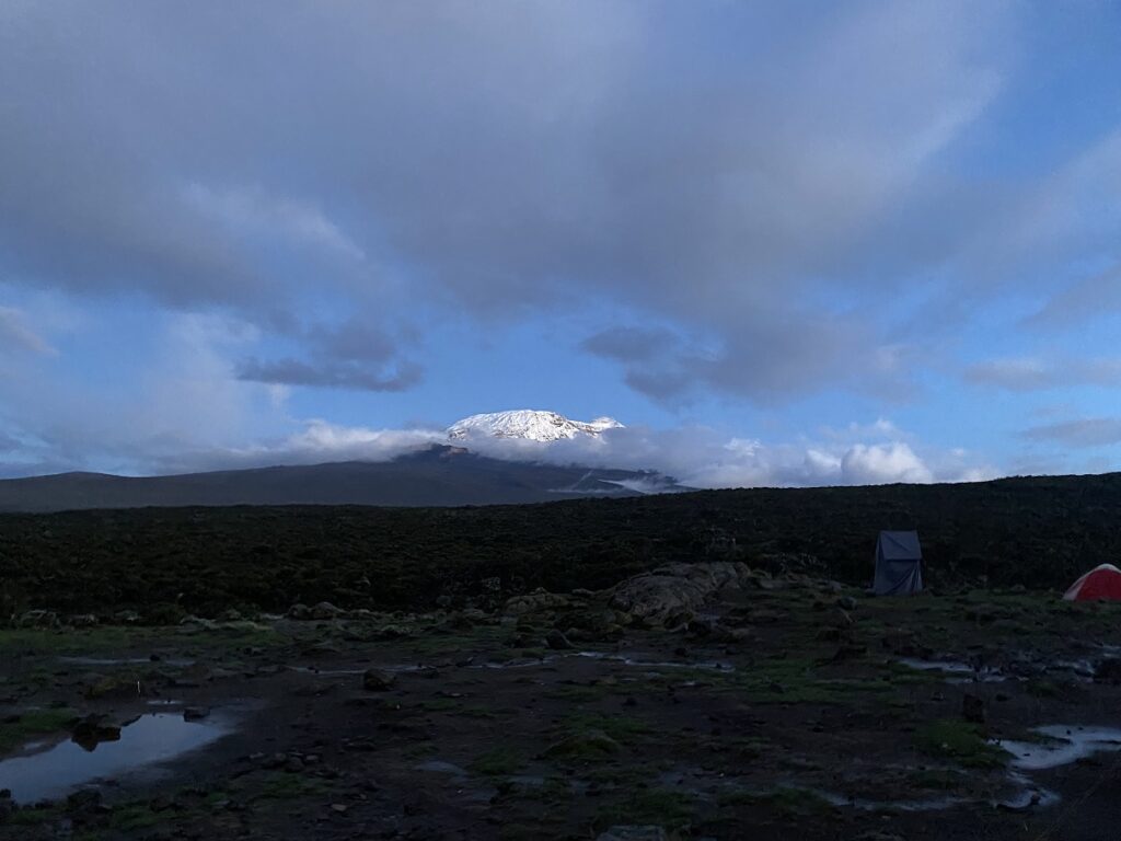
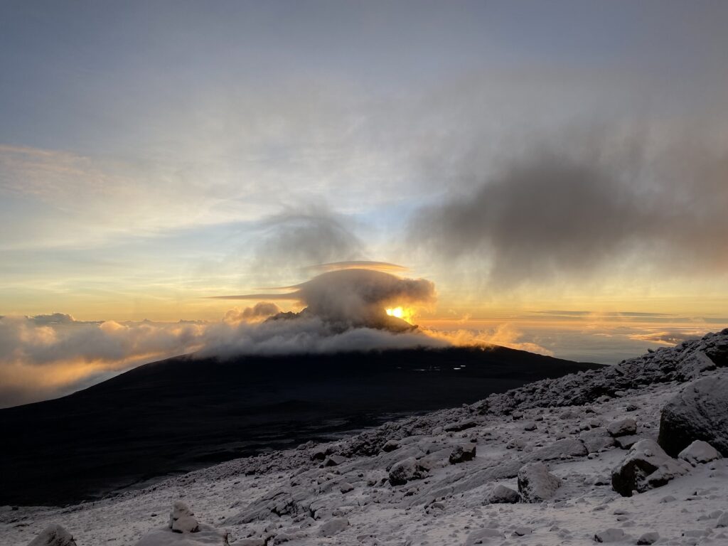
When we got up on Day 6, we had the best weather and had a fantastic view of the Kilimanjaro (Kibo) Summit. We had a short but steep day ahead of us.
Dickson took the lead and set a slow pace that worked well for Kavya. She seemed to be hiking well while chatting with Dickson. Even though we had been walking for some time, we could still see the Third Cave Campsite. We soon saw the porters coming along and started singing to cheer them up.
“Asante <porter name>
Hakuna Matata”
More than an encouragement for the porters, the singing was a welcome distraction for us.
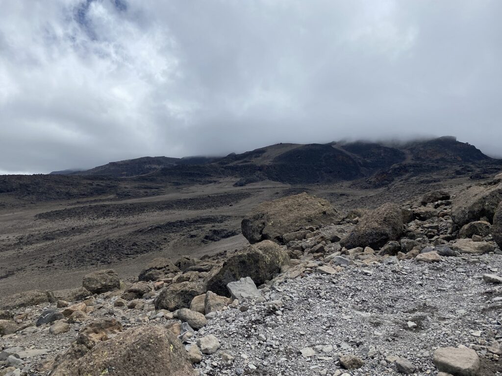
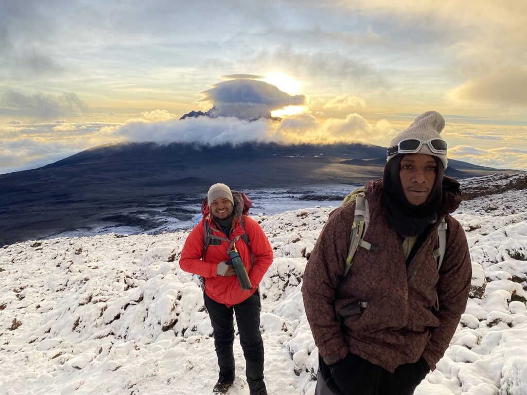
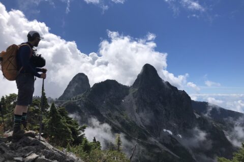
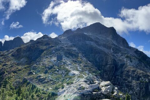
Mawenzi Peak (5,149 m), an impressive mountain, was to our left for most of the initial hike but was covered in clouds. It is the third highest peak in Africa after Kilimanjaro and Mount Kenya.
Dickson suggested we take a slight detour to see the dead buffalo, which has been around for 11 years. But since we had already seen one on our way to Pofu campsite, we decided to save some energy and stick to the trail.
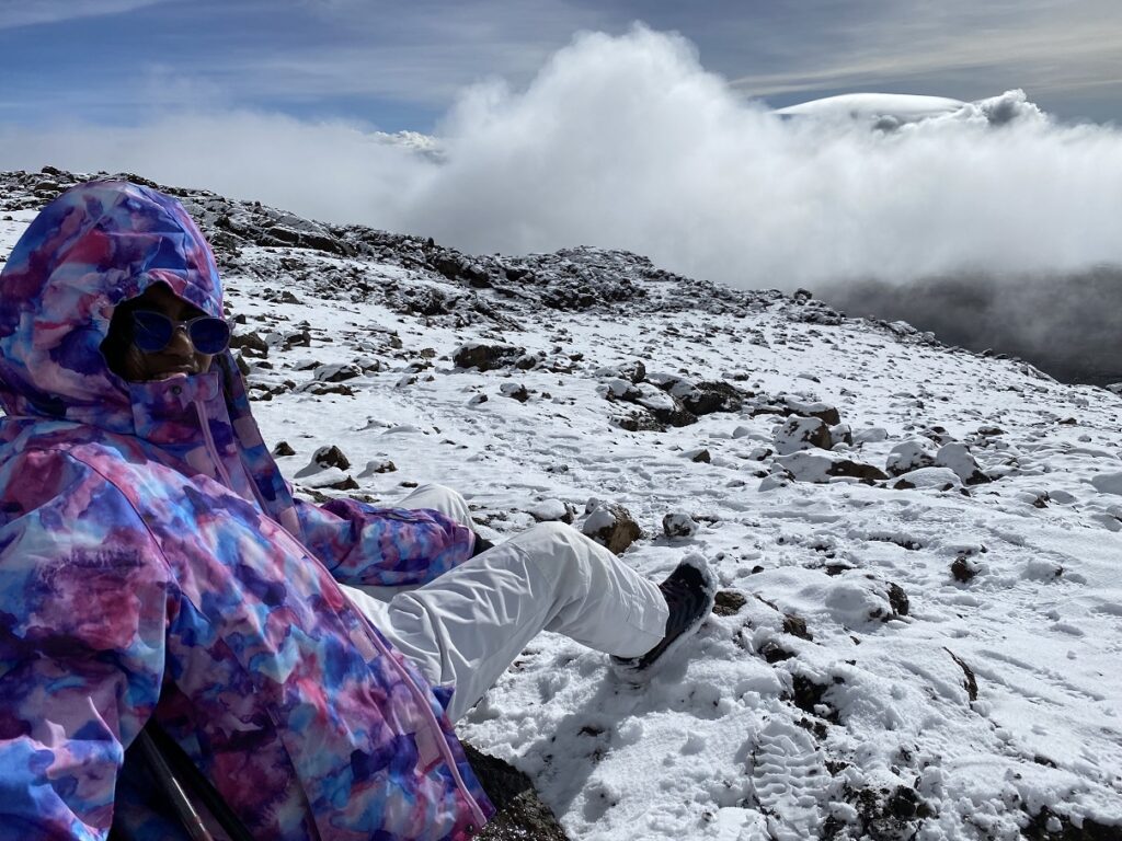
Kavya was doing well. Kasturi was slow but had a consistent pace and was just a few minutes behind us. It took us just under four hours to arrive at School Hut. There was no snow around the campsite or on the slopes, but it was about to change.
Oximeter – School Hut – 4717 m
Kavya – SpO2 82, HR 102 (on Diamox)
Kasturi – SpO2 85, HR 95 (on Diamox)
Shashi – SpO2 86, HR 79
This would be our last oximeter reading on the trip.
Day 7 – School Hut (4717 m) to Uhuru Peak / Summit (5895 m) to Millennium Camp (3827 m)
To Summit – 5.9 km, 1178 m net elevation gain,
Summit to Millennium Camp – 8.5 km, 2068 m net elevation loss
Hike through the Arctic, Alpine Desert and Moorland Zones.
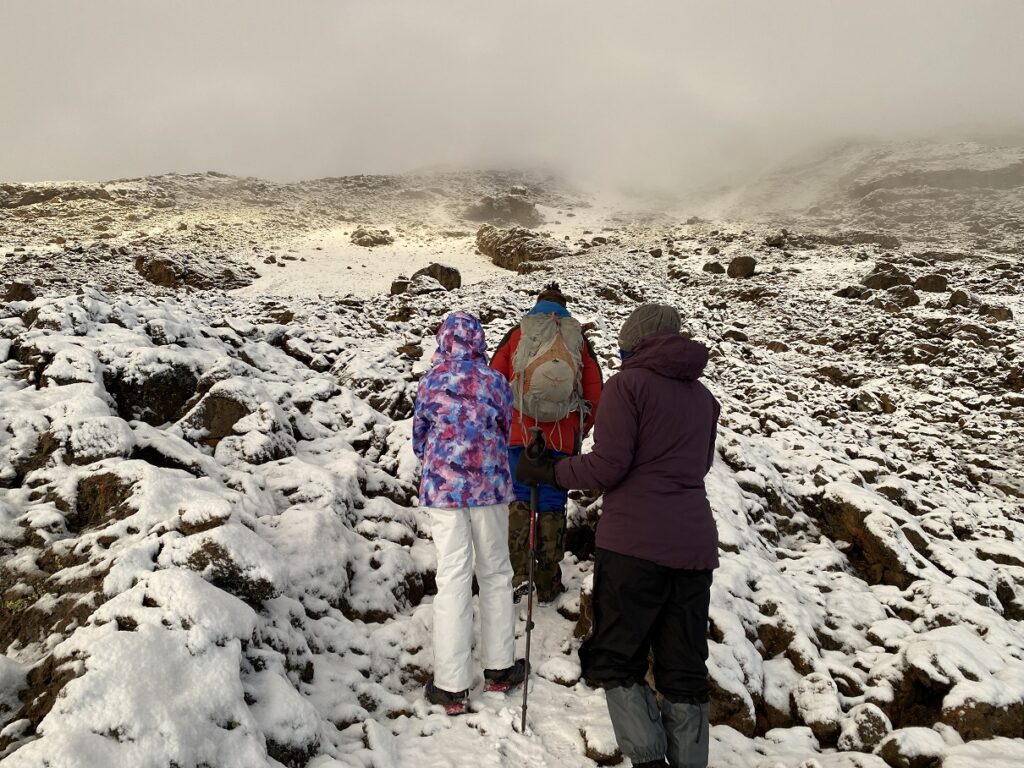
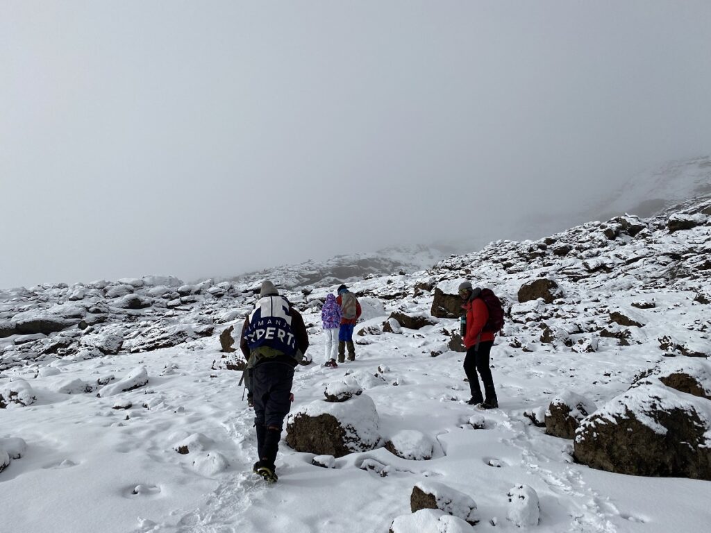
Typically, people leave School Hut at midnight for the summit. But given the weather and our pace, Rajabu recommended we leave at 4:30 am. Also, we would hike down to Millenium Camp (3827 m, 8.5 km from the summit) instead of all the way down to Mweka Huts (3106 m, 11.5 km from the summit). We (Kasturi, Kavya, and I) had been mentally preparing ourselves for the hike through the night, so it took some time to accept the new plan.
And I am glad we agreed to a late start. When we got up at 3:30 am, it was still snowing, and our campsite was covered with snow. The dining section of the tent collapsed under the weight of the snow. Kasturi called out for help while I held onto the tent. Thankfully, Ayubu arrived soon and got the tent upright again.
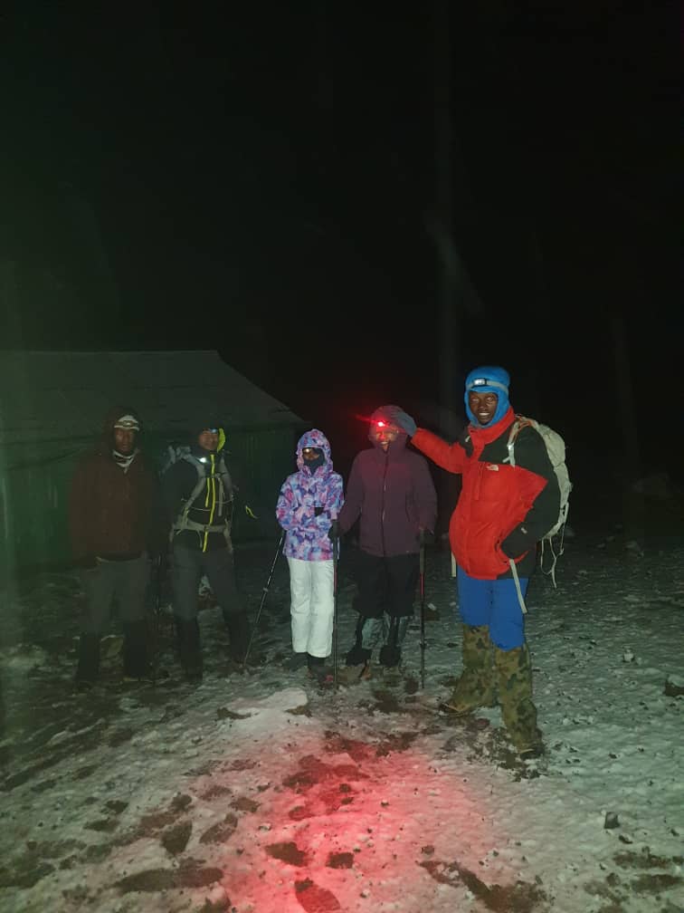
It was close to 5:00 am before we left School Hut. We had multiple top and bottom layers and were warm and comfortable as we started the hike. Not knowing when it would start snowing again, we probably had one extra layer than needed.
In addition to Rajabu and Dickson, Mghana, one of the porters, also joined us. Rajabu had given his backpack to the porters and he was carrying Kasturi’s pack. I carried my pack, and since I wore most layers, the pack weighed less than fifteen pounds.
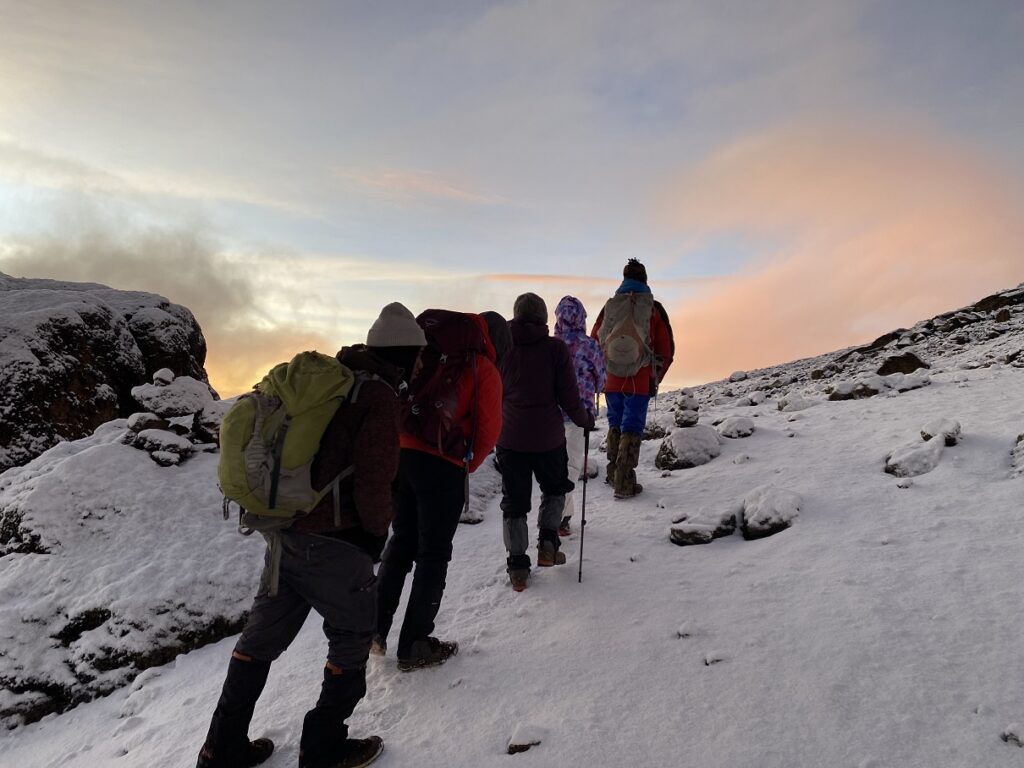
Dickson led the group and set a slow pace for the group. About an hour into the hike, we took our first break, and the sun was rising behind Mawenzi. Both Rajabu and Dickson continued to encourage us, especially Kavya. They both sang, Mghana also joined them, and they all had quite a selection of mountain songs to keep the spirits high. We just trudged along.
It took us about four hours to arrive at Hans Meyer Cave (5259 m), which is about 2.5 km and has a net elevation gain of 542 m from the School Hut.
Here is a brief description of Day 7 from the Kilimanjaro Experts itinerary –
“Tonight is very difficult – particularly the final 500m/1640ft – and you’ll need to commit to fight for the summit. You will inevitably feel like giving up and going to sleep. This is normal and can be overcome with perseverance.”
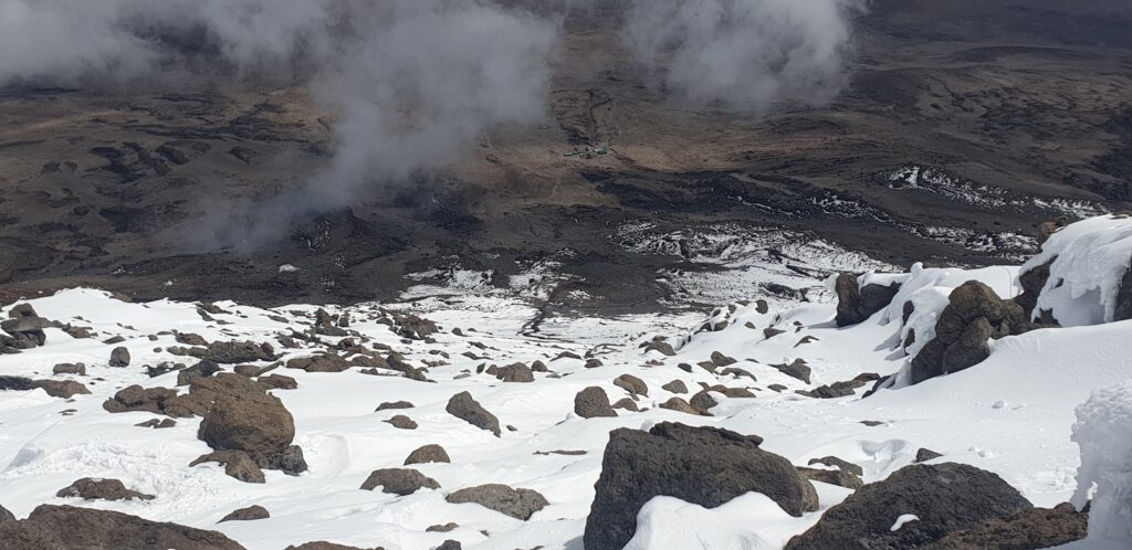
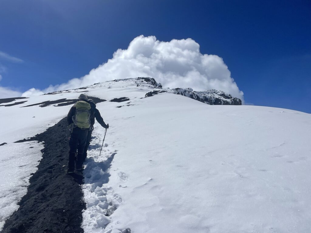
The hike from the Hans Meyer Cave (5259 m) to Gillman’s Point (5719 m), about 1.5 km with close to 460 m of elevation gain, aptly embodied the above description. As it snowed intermittently, it got harder. Kavya struggled through this section and cried. “This is hard,” she said.
For the first time on the trek, I had doubts about making it to the summit and was thinking about different scenarios. How would we get down to Millennium Camp? Should we go down to Kibo and then cut across to Barafu? or is going up to Stella Point and descending to Barafu the best option?
On Day 3, when we arrived at Moir Huts after hiking in the rain for the last two hours, I apologized to Kasturi and Kavya for suggesting we do this trek in December. On the summit push, I felt even more guilty about planning a trip in the short rainy (wet) season.
I started counting steps with Kavya and asked her to breathe deeply. Every 50/100 steps, we would take a quick breather and sip some water. We took a snack break, and Rajabu took out a box of Pringles. Kavya had a few and then some more. Anything to make this more bearable.
As the clouds cleared, we could see the pole at Gillman’s Point. It was so close, but still so far. We finally arrived at Gillman’s Point around 12:30 pm. Just over 7.5 hours after we had started the hike. Everyone was relieved. Rajabu had said that we would reach the summit if we made it to Gillman’s Point.
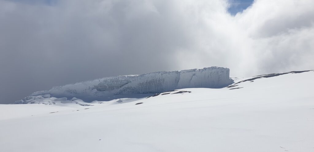
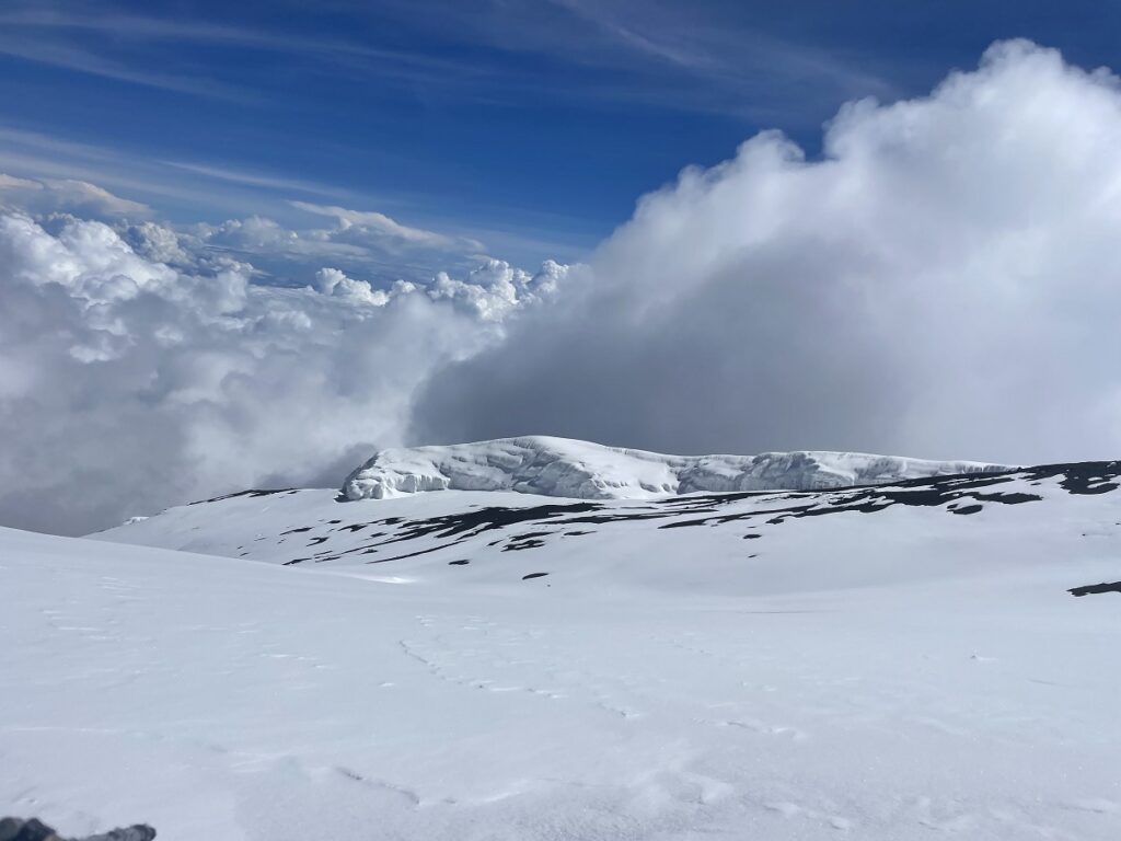
It was a clear day, and we had fantastic views from Gillman’s Point. We could even see Kibo Huts and were in awe of the slope (30% gradient) we had hiked up. I accidentally turned on tracking in GAIA at Hans Meyer Cave, which depleted the battery. So my phone was dead, but Rajabu and Dickson took a lot of pictures. I would rely on them for all the pictures for the rest of the day.
We saw a hiker coming back from Stella Point, and she was assisted by two guides on both sides. She couldn’t walk on her own and was hit by serious altitude sickness. Later, we learned that the guides took her to Kibo Hut, where she was rescued and taken to the hospital.
We were back on the trail after a 20-minute break. Rajabu led us along the narrow trail to Stella Point. After another break and pictures, we were on the move again for our final push to the summit.
Although the hike to the summit was not as steep, it felt long and mentally exhausting for Kavya. I kept prodding her with my “just over this bump…less than 50 m of elevation gain….now it’s flat…we’re almost there” prompts. And finally, we were there.
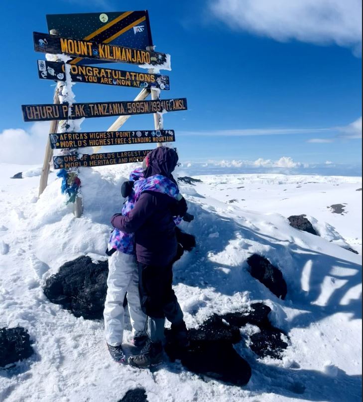
After two years of dreaming about it, after hiking for seven days, after almost 11 hours of leaving School Hut….after all the suffering and the tears….we were there. At the summit of Mount Kilimanjaro…at Uhuru Peak…at 5895 m, Africa’s highest point and the top of the world’s highest freestanding mountain.
Lemosho Glades (2389 m) to Uhuru Peak (5895 m)
Distance: 48.7 km
Net Elevation Gain: 3506 m
Cumulative Elevation Gain: 4540 m
More than the sense of accomplishment, I think Kavya was relieved that it was done, at least the uphill part. She hugged Kasturi, and then we got together for a group hug. Kavya had a surprise for me.
In the last few days of the trek, I had been trying to motivate Kavya on the trail and even when we were back at the campsite. While I was citing inspirational quotes from “Training for the New Alpinism,” Kasturi and Kavya had made a secret deal. If we make it to the summit, Kavya will get a cat. Something she had been pleading with us for the last few years. So don’t be surprised if I do a future post about a cat named “Kili.”
I took Rajabu’s phone and recorded myself singing the “Jambo Bwana” song, thanking Rajabu, Dickson and Mghana. Thanks to their incredible patience and support, our dream came true.
When I recorded the song, I didn’t realize it, but now when I hear it, I see how out of breath I was on the summit. Out of curiosity, I asked Rajabu if he had the oximeter. He didn’t have it handy, and it was not worth the effort to get another SpO2/HR reading. So, after being on the summit for about 10 minutes, we started our descent.
It took us about 30 minutes to get back to Stella Point, and then Mghana led us down the snow and scree slopes to Kosovo Camp. Mghana wanted to take the faster route down the scree slopes that involved a small climb to Kosovo Camp. But I suggested we take the slightly longer trail that involved no uphill. By now, I was holding Kavya’s hand as she was exhausted, and there was a potential for a bad fall or ankle twist.
I had my own challenges. I had this weird feeling that I was walking and talking in this fuzzy state of mind, and I wouldn’t remember any of it. I had two falls and thought I just slipped over loose rocks. But it could be a combination of fatigue and the altitude.
The clouds over Mawenzi had cleared, and we had a great view, but I couldn’t capture it as my phone was dead. As we reached the Kosovo Camp (4875 m), my Coros watch died. I had charged it just a few days back, and the battery usually holds well for multiple days, but on the summit day it had enough.
Kasturi was coming down slowly with Rajabu and Dickson. We waived at them and continued our descent to Barafu Huts (4662 m). It was a steep trail down the slope with a small slab section. Mghana led the way, and soon we arrived at Barafu Huts. Ayubu and two other porters congratulated us.
The plan was to have a quick late lunch and then head down to Millennium Camp (3827 m) – another three-and-a-half km hike down. Ayubu served us soup and watermelon. Then, we saw four of our porters hike up from Millennium Camp to Barafu Huts. I asked Ayubu what was happening, and he just said, “Rescue Team.” It got me concerned.
Kasturi had a skiing accident back in 2018 and had a high-grade ACL and MCL tear in her left knee. It had taken more than a year of physiotherapy for her to feel normal. Since then, she has done many hikes and has trained well for this trek. Now, I was wondering if her left knee was hurt again.
Kavya and I watched Kasturi slowly descending the trail from Kosovo Camp to Barafu Huts. She was very slow and it seemed like Rajabu and Dickson were holding her hand. I asked Ayubu for details and if Rajabu had asked the porters to come up, but he couldn’t explain much.
I walked back towards Kasturi, and as she got closer, I was relieved to see her walk normally. She was just tired and slow but not hurt. Rajabu had not called the porters, and they had come up on their own to offer help if needed. We sat down at Barafu Huts, had some food and then were on the move again. We were out of water, so Ayubu gave some of his water to us.
It was dark, and we all had our headlamps out. As we hiked down, we saw Moshi’s city lights. It felt different than the rest of the trek. Finally, at 9 pm, we arrived at Millenium Camp (3827 m). After a 16-hour day, we were exhausted and crashed soon after dinner.
Day 8 – Millennium Camp (3827 m) to Mweka Gate (1633 m)
12.1 km, 2194 m net elevation loss
We had a late start on the last day and left the camp at 8:50 am. One question that Kavya asked Rajabu a couple of times was, “Is there any uphill today?” Thankfully, we didn’t have any.
It was rocky and slippery in some sections, but we were moving at a decent pace. It took us about an hour and a half to arrive at Mweka Huts (3106 m).
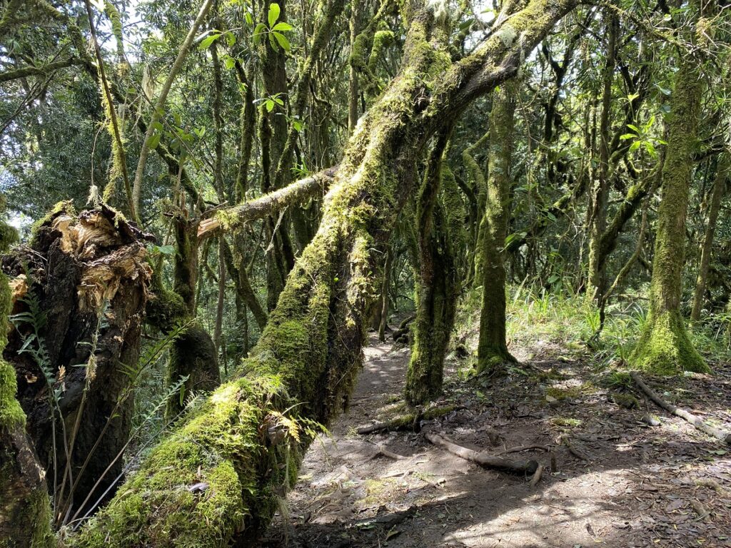
From here, we were back in the forest, and it was beautiful. I enjoyed this last section in the forest more than our hike from Lemosho Glades to Mti Mkubwa.
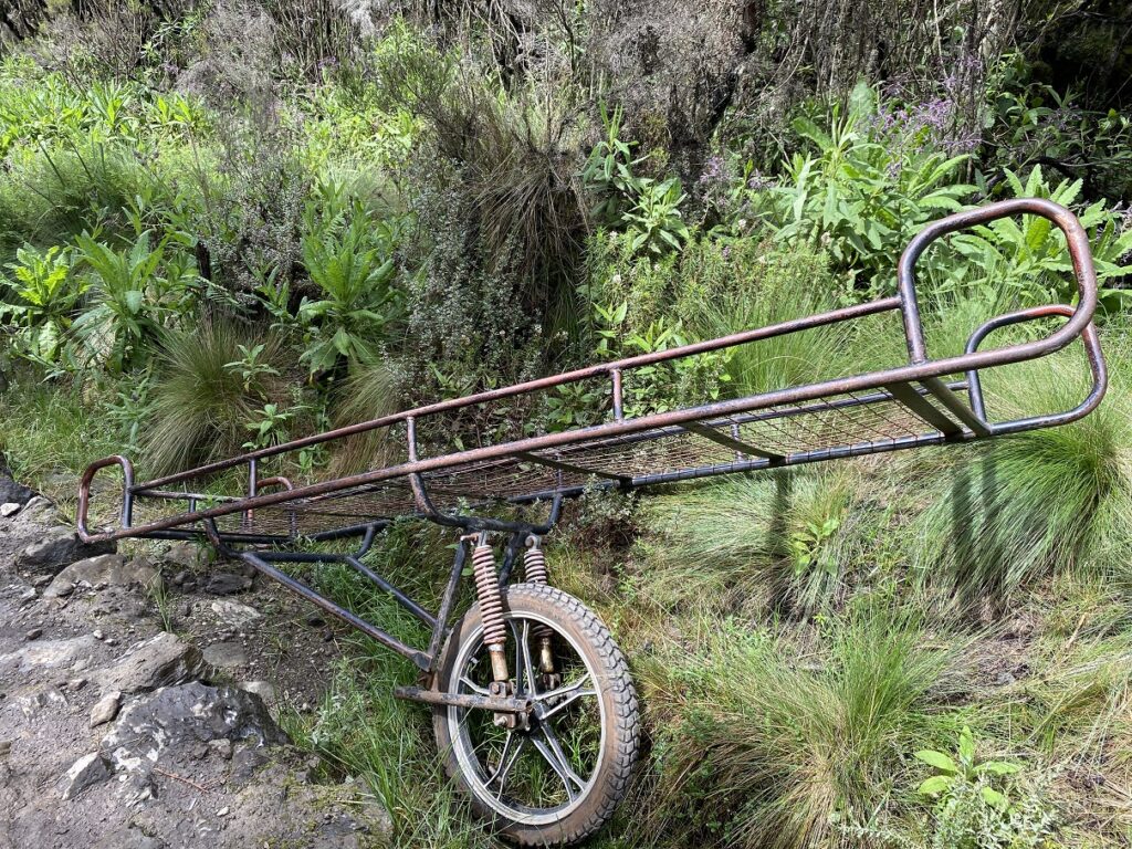
Along the trail, we saw trolleys that are used on the mountain for rescue. Dickson joked that 10 minutes in this and any altitude sickness you have will be kicked out, and you will start walking again. The trail ahead made us believe that.
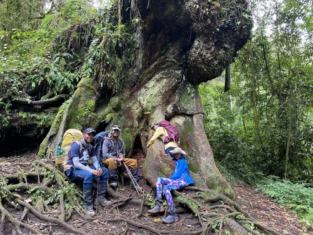
We made a couple of stops on our way down, and one of them was at a giant tree. About half an hour later, we reached a wide motorable road used by rescue vehicles. We were now in the final stretch.
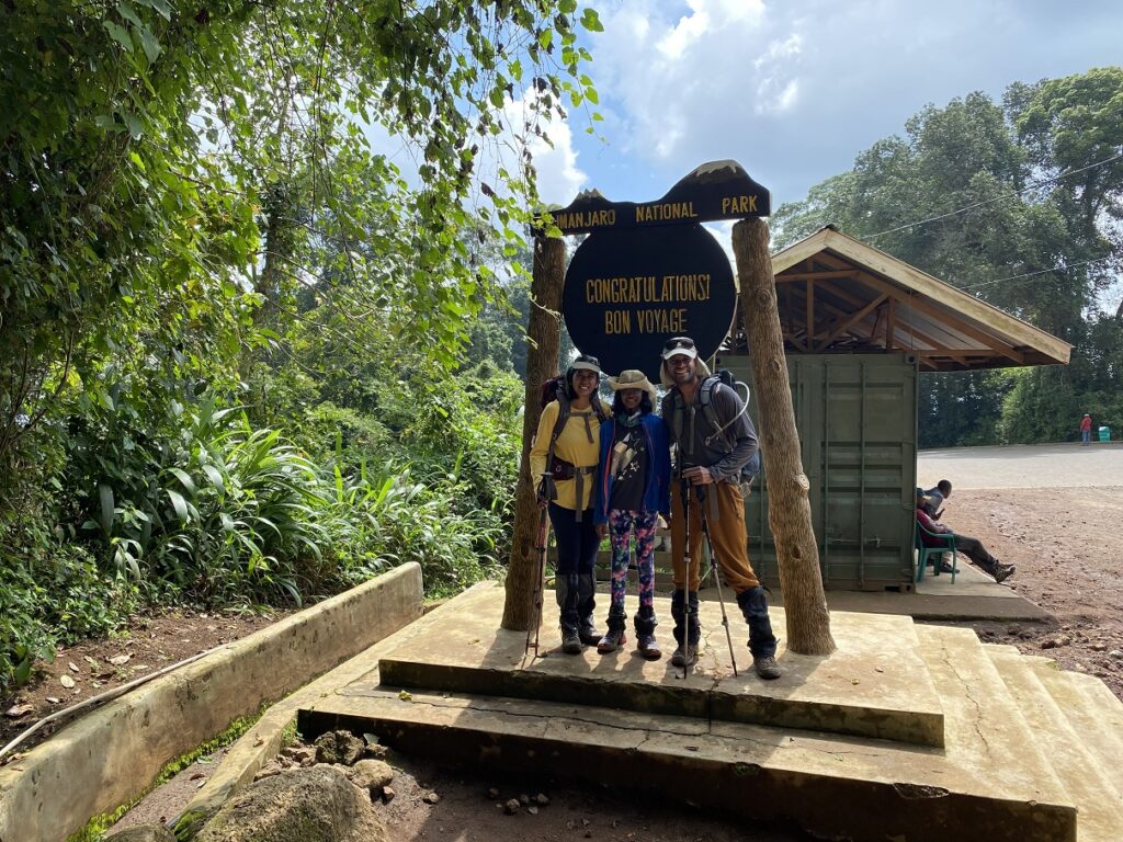
Around 2 pm, we arrived at Mweka Gate. We had finally done it.
Eight Days, 66.3 km, 3506 m of net elevation gain and 4262 m of elevation loss.
The elevation loss is higher as Mweka Gate (1633 m) is lower than our starting point, Lemosho Glades (2389 m).
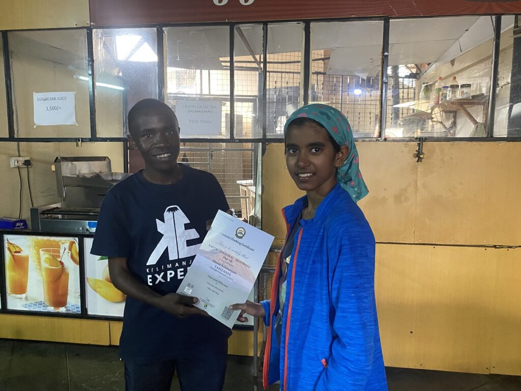
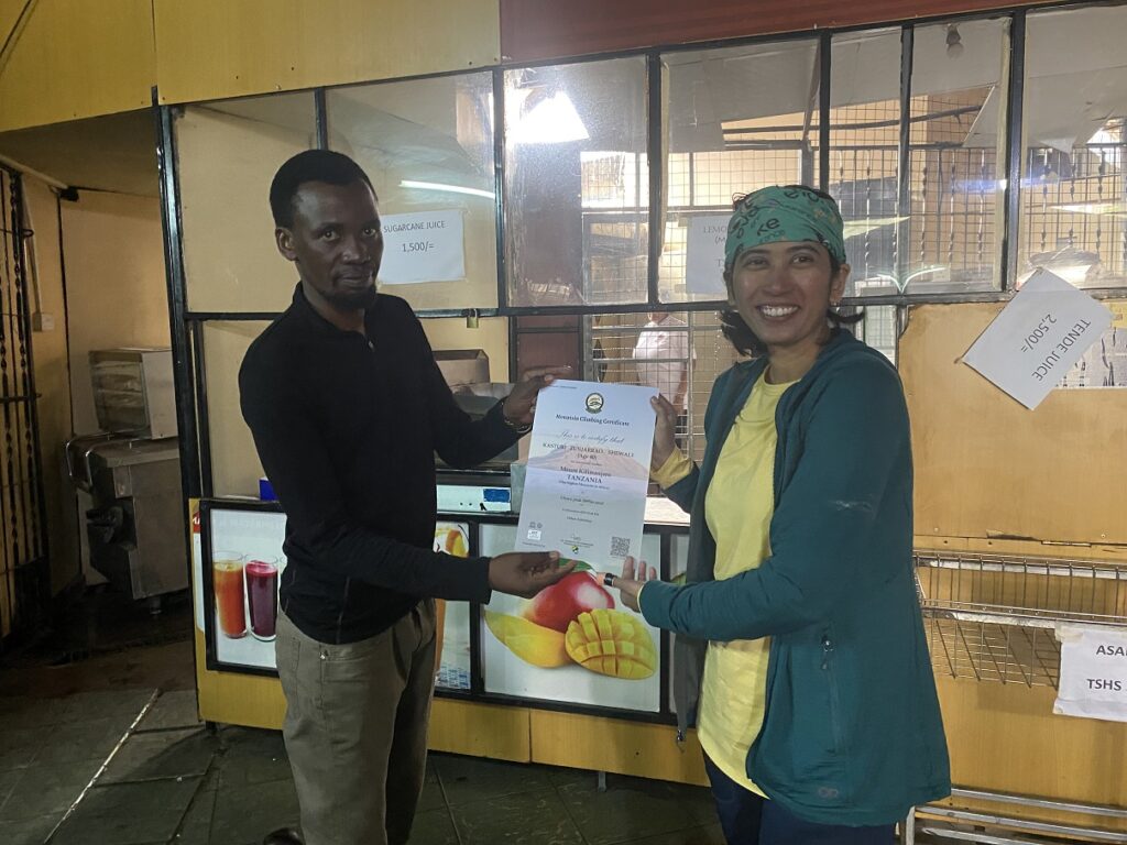
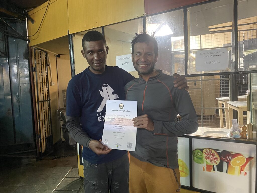
We stepped into the registration office to get our certificates. We signed in to the register, and while Rajabu was working to get our certificates, I started browsing the registry.
The register at the Mweka Gate has the names of all the hikers who have reached the summit (or at least Stella Point), come down the Mweka route and take one of these ascent routes – Machame (most popular), Lemosho/Alternate Lemosho, Northern Circuit, Umbwe. People going up the Marangu route descend via the same route, and hikers taking the Rongai Route also descend via the Marangu route. So, it is safe to assume that this register captures most of the hikers who reached the summit.
In the meantime, we got our certificates. But there was a spelling mistake in Kavya’s and mine certificates, and we couldn’t just ask for a reprint. Joshua at Kilimanjaro Experts office had to go online, make a payment and then we would get the updated certificates. In short, we had a lot of time.
So, let’s go back to our register. It was a relatively new register with entries from November 18 to December 12. There were about 50 pages, and each page had 14 entries, so in total, 700 hikers. Other than Kavya, one 11-year-old and one 15-year-old kid had reached the summit.
In general, not many kids climb Kilimanjaro, but most of them climb in the dry season. This post highlights stories of some of the kids who have done this trek and confirms that families prefer the dry season. Something that both Rajabu and Dickson had shared based on their experience. Considering that 30,000-50,000 people attempt Kilimanjaro every year and comparing it to the 700 or so recent entries, I guess most people generally do this trek during the dry season.
Going in the short rainy season has its benefits, like cloud cover and mainly fewer crowds. For example, it was just our group at the 2nd Pofu Camp, Third Cave Camp, and School Hut. At Moir Hut, there were probably two other groups. Likely due to our timing, but there was no one else at the summit. And throughout the trek, we saw only a few other groups.
But, if I plan this trip again with family, I would probably pick a date in the dry season. Not only would we get clear days and less or no snow, but more importantly, we would have the opportunity to do acclimatization hikes at different camps, which is critical.
Kilimanjaro Experts Team
Now, let’s talk about the true heroes of the mountain – the guides, the cook and the porters.
Rajabu and Dickson were amazing. I was surprised to learn they were working together for the first time. Based on how well they worked together and their banter, it seemed like they had guided together multiple times.
Rajabu is 30 years old and it was his 38th successful summit of Mount Kilimanjaro, and he climbed the mountain through multiple routes. He worked as a porter for years before he studied and became a guide.
Rajabu has a very calm demeanour and was always there to ease our concerns. I can still hear his voice: “Pole Pole, we will reach the summit.” Maybe we took his Pole Pole advice a bit too seriously. Overall, Rajabu did an amazing job managing the entire crew, assessing the conditions, and making the right call on our summit push. It made a huge difference.
Dickson is 26 and has forgotten how often he has been to the summit. Maybe it is the result of spending too much time at high altitude. One thing he does remember is that he has been to the summit and back in 14 hours via the Umbwe route. It was hard, and he had to deal with altitude sickness, but he did it. While most people don’t take this steep and short route, and even if they do, they take six days for the complete trek. But Dickson did it in a day. He didn’t break the record, but it is still a fantastic feat.
Dickson personified the popular phrase Hakuna Matata (No Problem). He was always cheerful despite the conditions on the mountain. He also helped us translate to Swahili and add our own verses to the Jambo Bwana song, which helped us connect better with the crew.
Leopard was our cook and did a fantastic job preparing meals for us and the entire crew. Due to the altitude, our appetite sometimes didn’t allow us to savour the dishes he had prepared, but they were still delicious. Kudos to everyone who helped Leopard prepare his meals and carried all the kitchen equipment.
Ayubu served all our meals/snacks and provided hot water. At some camps, he even offered us hot water for our Nalgene bottles that we used inside our sleeping bags. And, of course, before we left for the summit, he came to our rescue when the dining section of the tent collapsed under the weight of the snow.
Mghana accompanied us on the summit day and was very attentive, especially to Kavya. He carried the tea, snacks, medical kit, etc. and did a great job helping Rajabu and Dickson and supporting us. Rajabu once told me that Mghana was so excited about Kavya going to the summit that he would even carry her on his back on the way down if needed. Thankfully, it didn’t come to that.
Shedrack took care of the portable toilet and had the most unpleasant job of all the porters. Twice a day, he would empty it in the public toilet and ensure it was clean and hygienic for us. Bonfiace, at 56, was the oldest porter in the group and probably had been working on the mountain for nearly three decades.
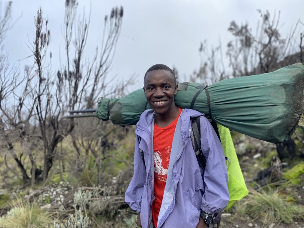
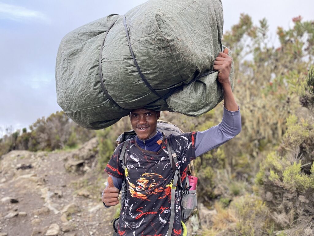
We didn’t get to interact much with other porters due to the language barrier, but they all did a great job. Each morning, after breakfast, they would take down the tents, pack them in their waterproof green bags and then make sure each porter was carrying a fair weight, at most 20 kgs (44 lbs) per porter, including their personal gear.
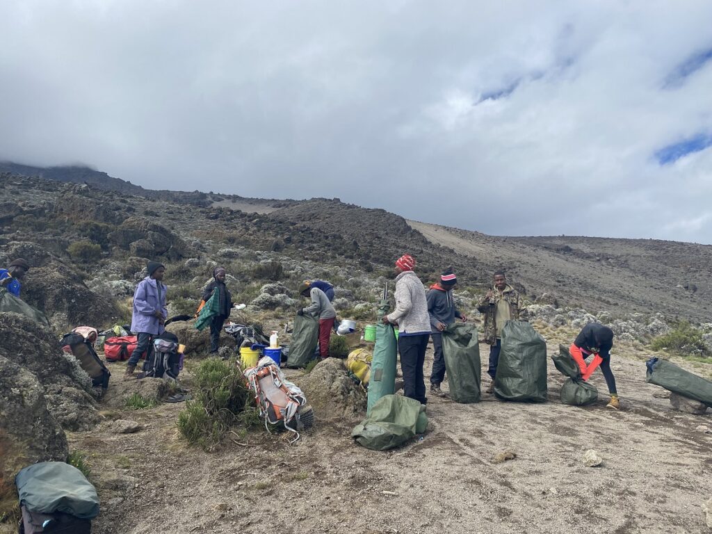
The porters would leave the camp after us and get to the next camp in half the time it would take us. Our tent was set up when we reached the camp, and lunch would be served shortly.
Some days, some porters even hiked back to check on us and the guides to see if anyone needed help. On our summit day, when we got late, four porters hiked up 3 km with a 721 m elevation gain to see if we needed help. Voluntarily, for no extra pay. Their commitment to our well-being on the trek was admirable.
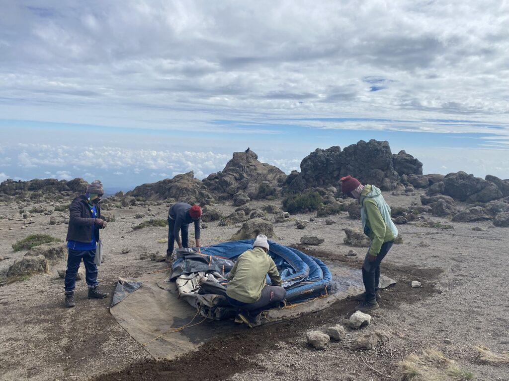
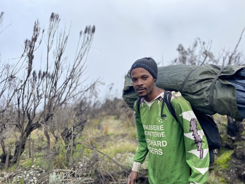
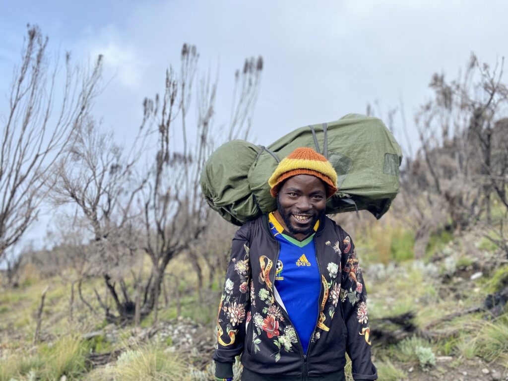
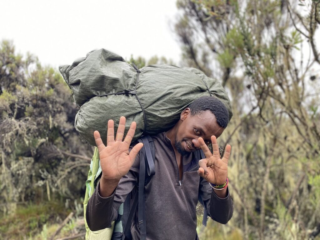
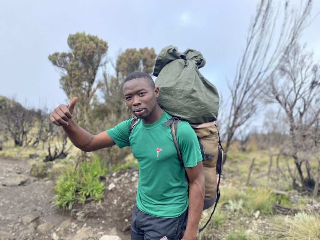
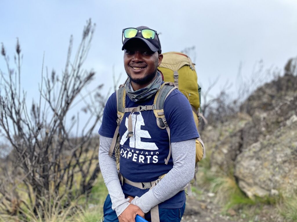
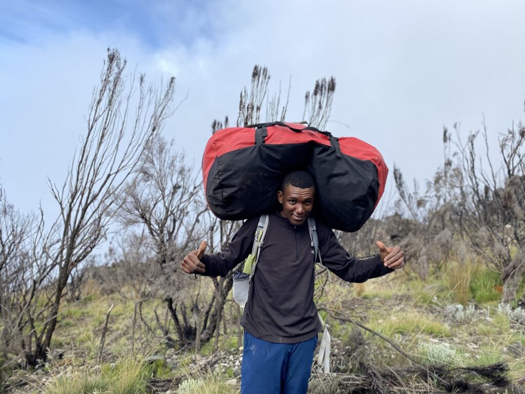
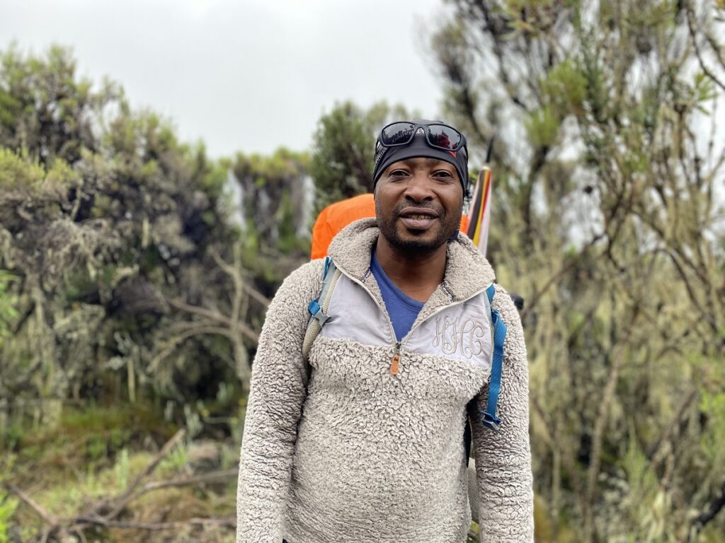
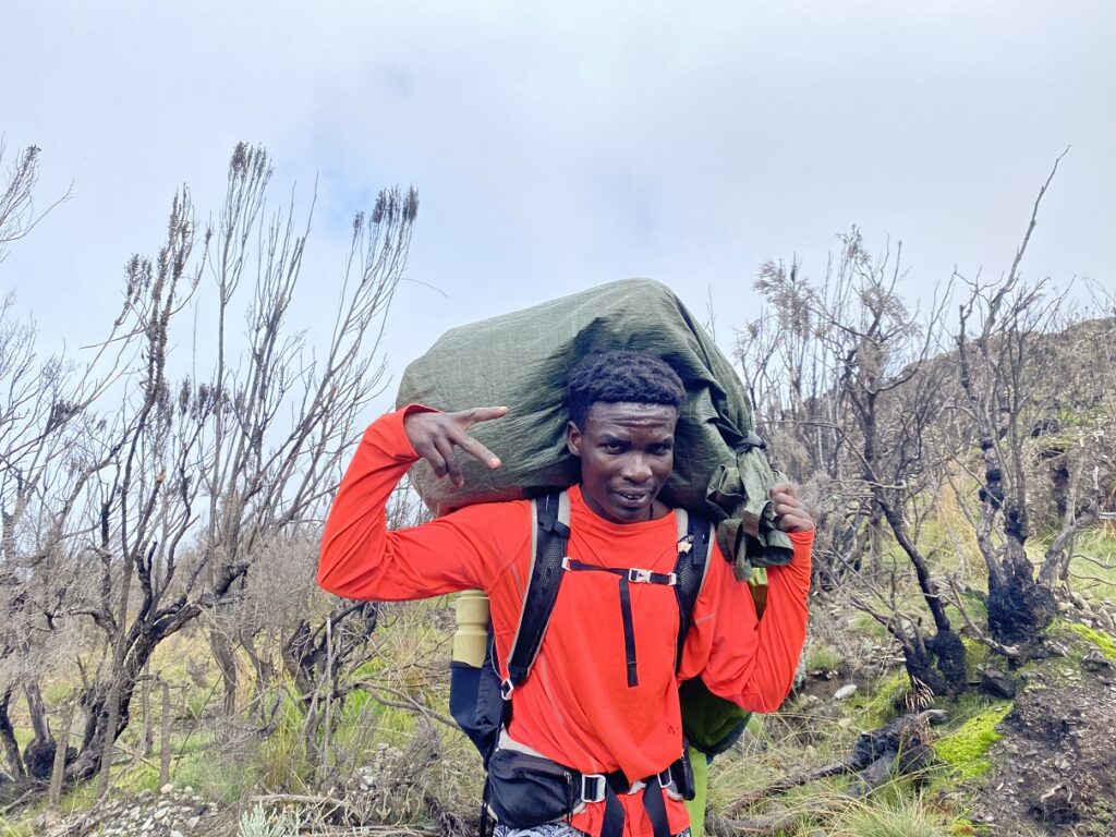
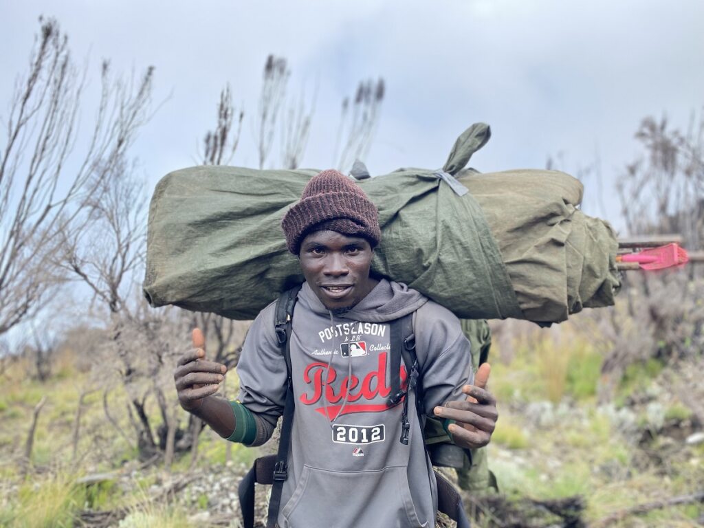
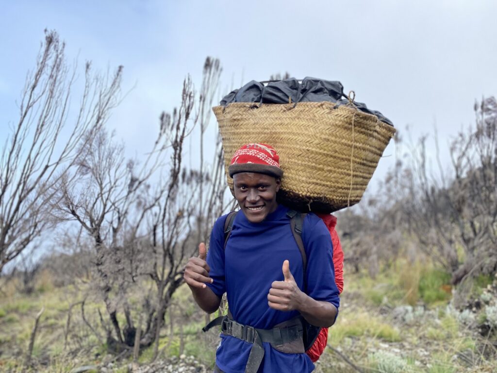
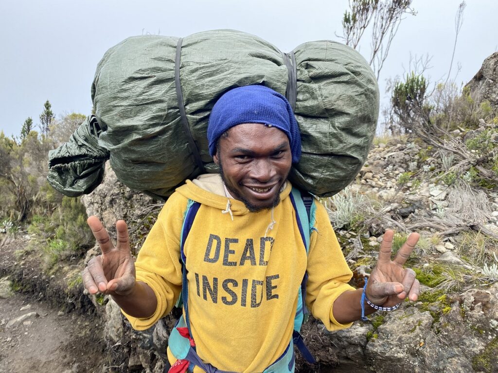
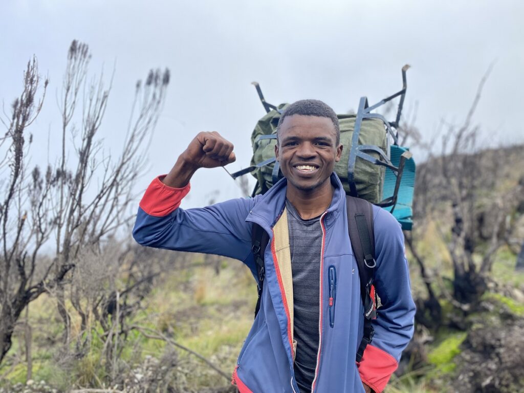
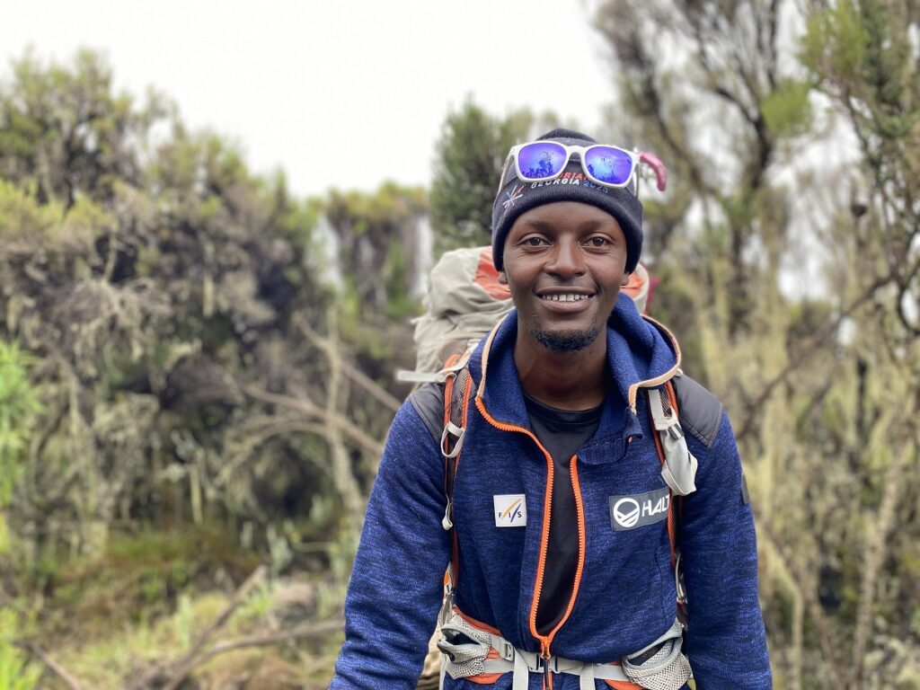
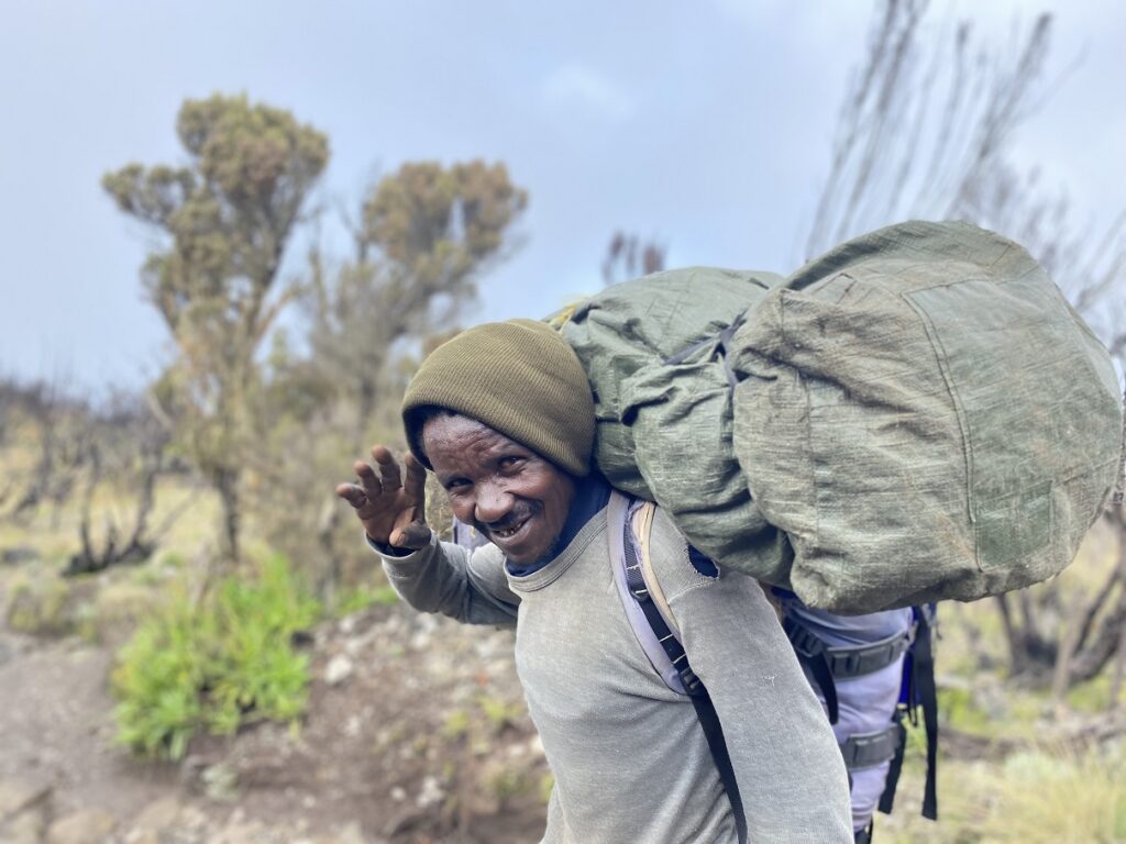
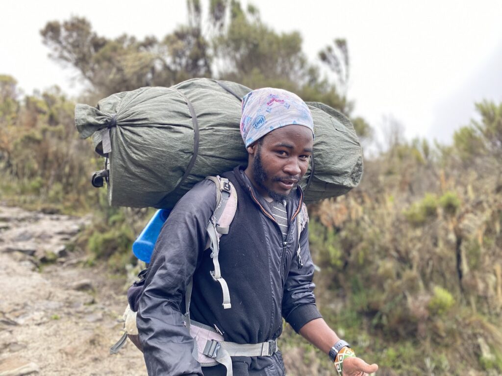
Here are the profile shots of the entire crew –
I’m not sure how many crew members will get to read this, but here is the text that Dickson helped us translate, and we read it out at the Pofu campsite after the Jambo Bwana song.
“Asanteni sana kwa msaada wenu, bila byie tusingelifanikisha hili. Tutwakumbuka daima. Asante Sana.“
rough translation –
“Thank you very much for your support, without you we would not have achieved this. We will always remember you. Thank you very much.”
I would also like to extend my thanks to Henry and Joshua who managed everything on the back end. Henry was my primary point of contact and over several months, he promptly responded to all my emails and made sure I had all the information and was well prepared for the trek. Joshua manages local operations and I was in contact with him through WhatsApp a week prior to leaving Canada. He was prompt to respond and address any questions that would come up before or after the trek.
From Mweka Gate, we drove to Moshi to celebrate the trek and to get our certificates. Getting our certificates from the porters – Amoni, Shafi and Mghana- was a nice gesture.
We stopped by the Kilimanjaro Experts office in Arusha to drop off all the gear and the crew members before returning to Outpost Lodge. After a day’s rest, we would go on a 5-day safari.
I will leave you with one of the most fun moments on the mountain –
Resources:
Kilimanjaro Experts: Alternative Lemosho Route Itinerary
Kilimanjaro Porters Assistance Project: KPAP
Disclosure: The links I have shared in the post and under the Resources section are not Affiliate Links.
Did you enjoy reading this post? Please subscribe to get weekly updates. Please share your feedback in the comments section below. Thank you!
Congratulations to the whole family for this inspiring saga of a shared adventure! I am sure Kavya will inspire girls and kids of her age to achieve whatever they set their sights on. Wonderful and very detailed account, with lots of interesting facts and great photos.
Aloke – Thank you for your patience in reading the post and for your kind note. Will pass on your compliments to Kavya.
Such a well-written, comprehensive account of this amazing hike! While reading it, it felt like I was hiking right next to you! What an amazing feat for you all, especially for Kavya. This will be a great blog to read through for anyone interested to hike up this mountain. Thank you for sharing!
Thanks Kedar for your kind note. I wish you were right next to me… would have been fun to hike this one together. It’s been a long time since our Havasu Canyon hike.