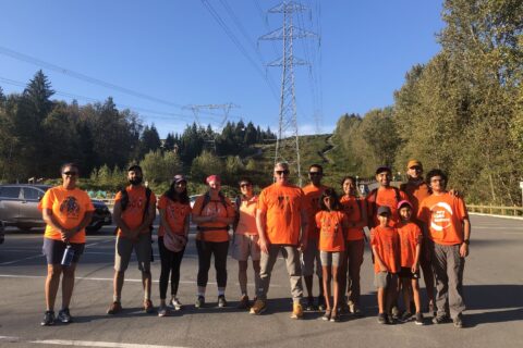
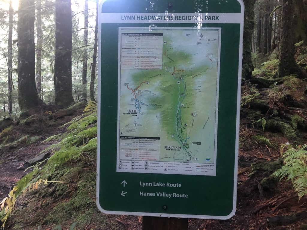
The weather cleared up for October 10, and Rohan and I decided to do the Hanes Valley Loop in North Vancouver. Our plan was to start at Lynn Headwaters, hike beyond Norvan Falls to Hanes Valley, climb up Crown Pass, continue to Dam Mountain and then to Grouse, and connect back to Lynn Headwaters.
I met Rohan at the Grouse Mountain parking lot at 6:30 am. We both had to be back home around 5 pm. So even though the plan was to hike the full loop, we might end our hike at Grouse if it was too late. So for backup, we left my car at Grouse and then drove to Lynn Headwaters in Rohan’s car.
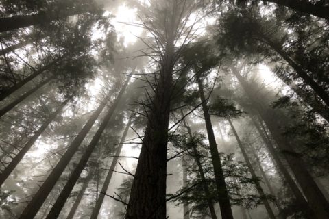
It was a short drive to Lynn Headwaters, and we started our hike around 7:15 am. We hiked the Lower Lynn Loop, Cedars Mill and Headwaters trail to arrive at the Norvan Falls junction. I did the same hike with my family just a week back when we went to Norvan Falls.
Territory Acknowledgement
I would like to acknowledge that the Hanes Valley Loop hike we did is on the unceded territory of the Coast Salish peoples, including the territories of the xʷməθkwəy̓əm (Musqueam), Skwxwú7mesh (Squamish), Stó:lō and Səl̓ílwətaʔ/Selilwitulh (Tsleil-Waututh) Nations. I commit to learning about Indigenous peoples and issues and making reconciliation an ongoing effort.
Lynn Headwaters to Hanes Valley
It took us about an hour and twenty-five minutes to arrive at the junction. Just under 7 km with about 250 m elevation gain.
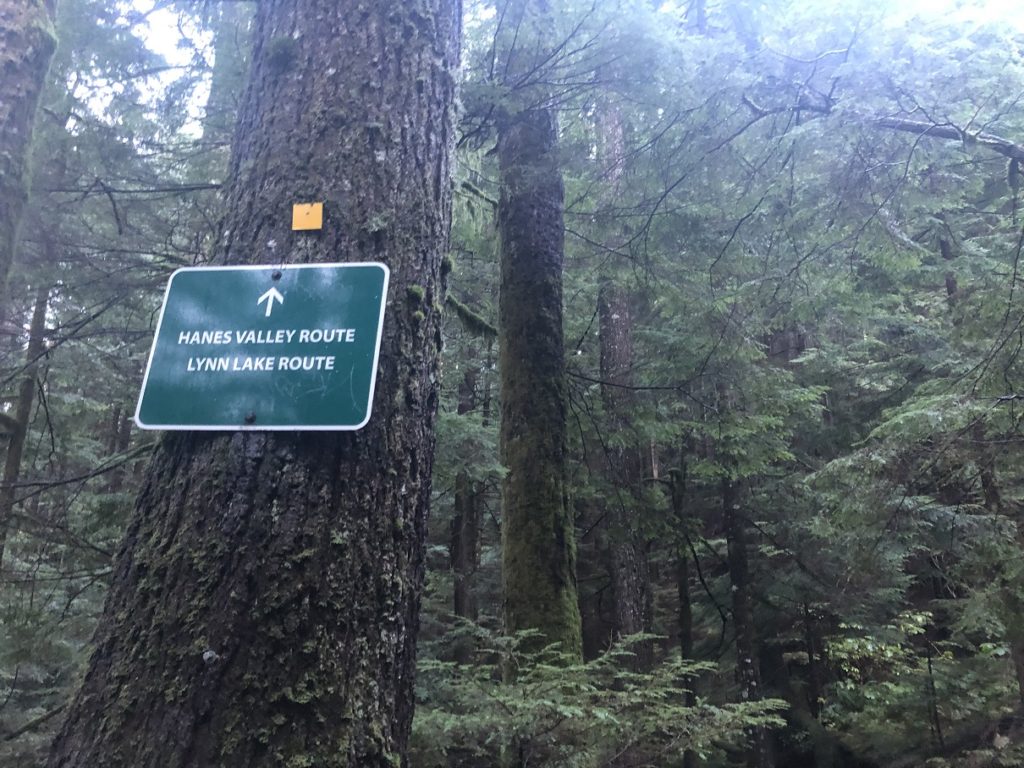
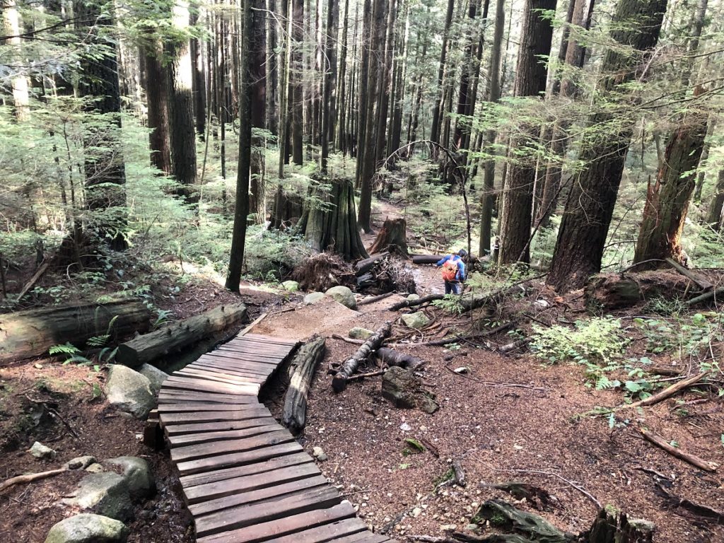
We continued on the trail and arrived at the Hanes Valley-Lynn Lake route junction in about twenty-five minutes.
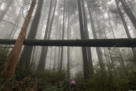
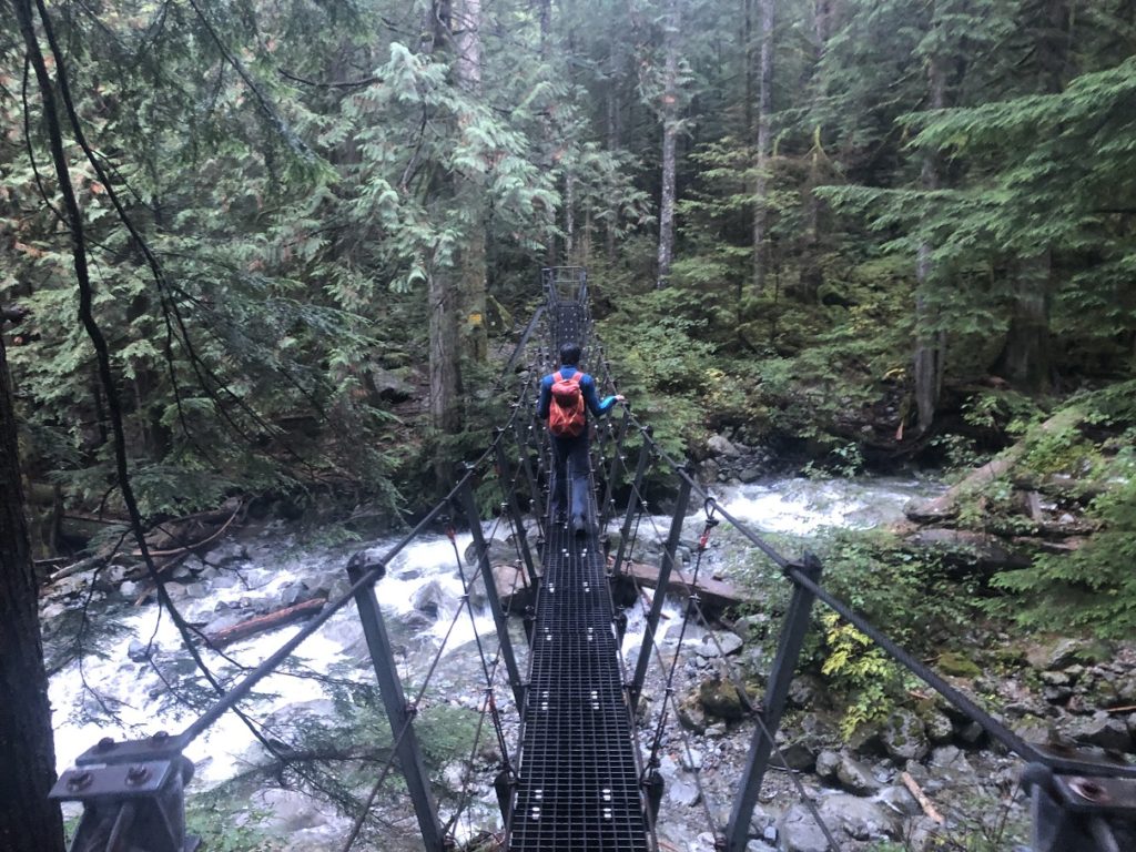
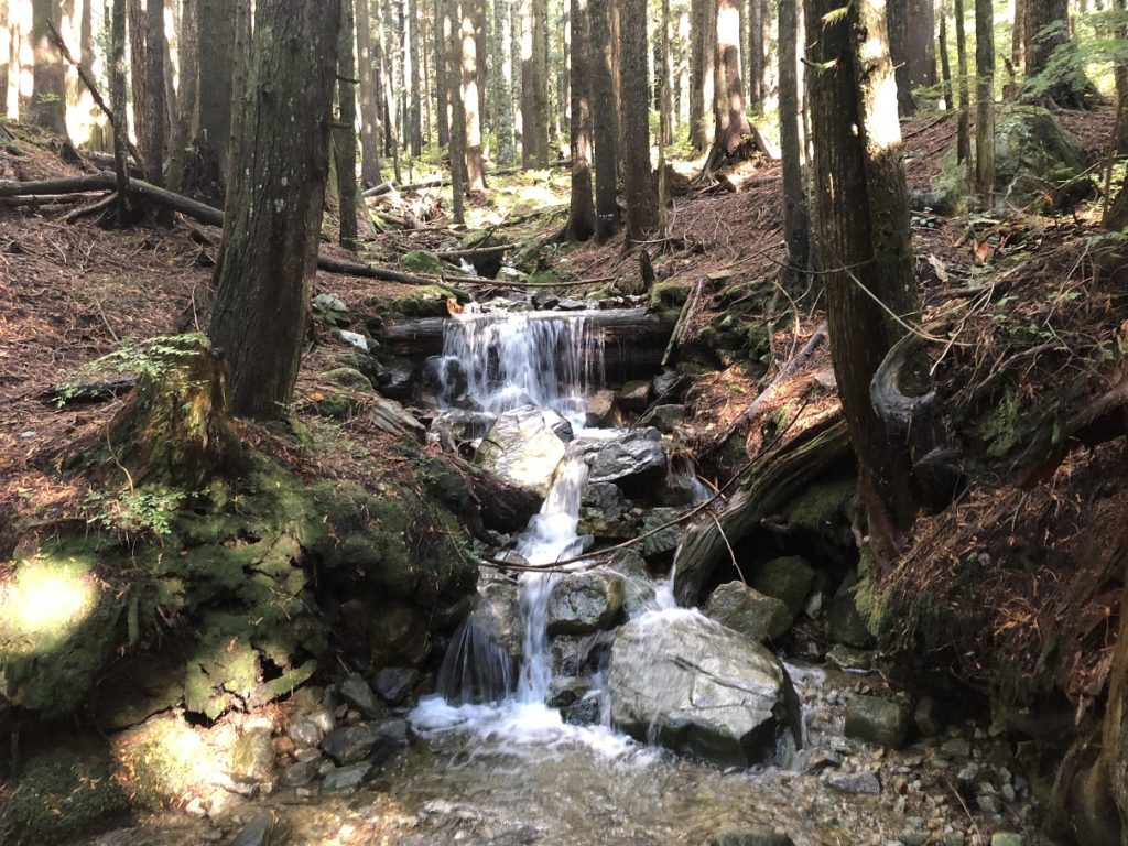
From here, the Hanes Valley route dropped down to the creek. It seemed like we would have to walk over the big log to get to the other side of the creek. We looked around but didn’t find any other option. Rohan went first, and as he assessed the situation, he went from walking to crawling on the log.
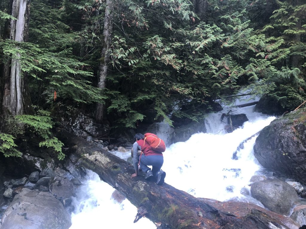
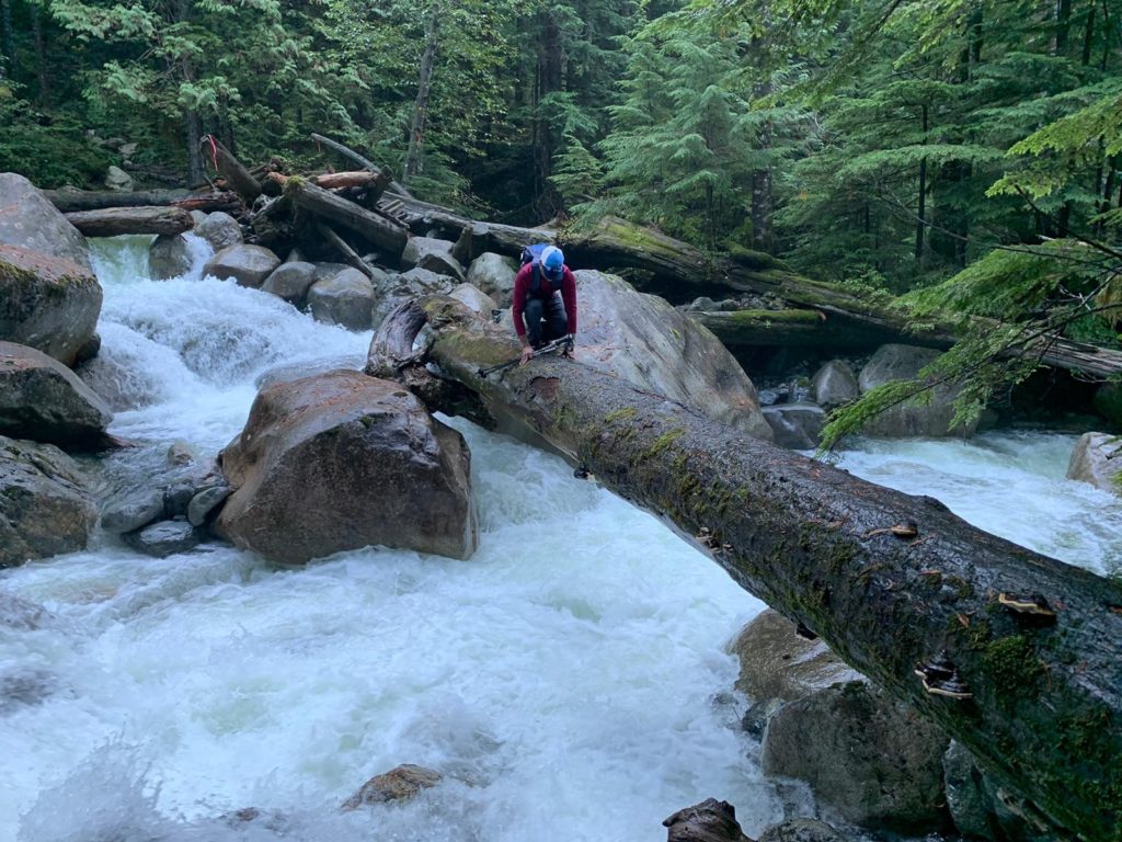
Photo by Rohan
Soon it was my turn, and looking at the wet and slippery log, I started crawling right away. Finally, after multiple cycles of deep breaths and short steps, I got to the other side. This was probably the most focused I had been since my water cable crossing on the Lake Lovely Water hike.
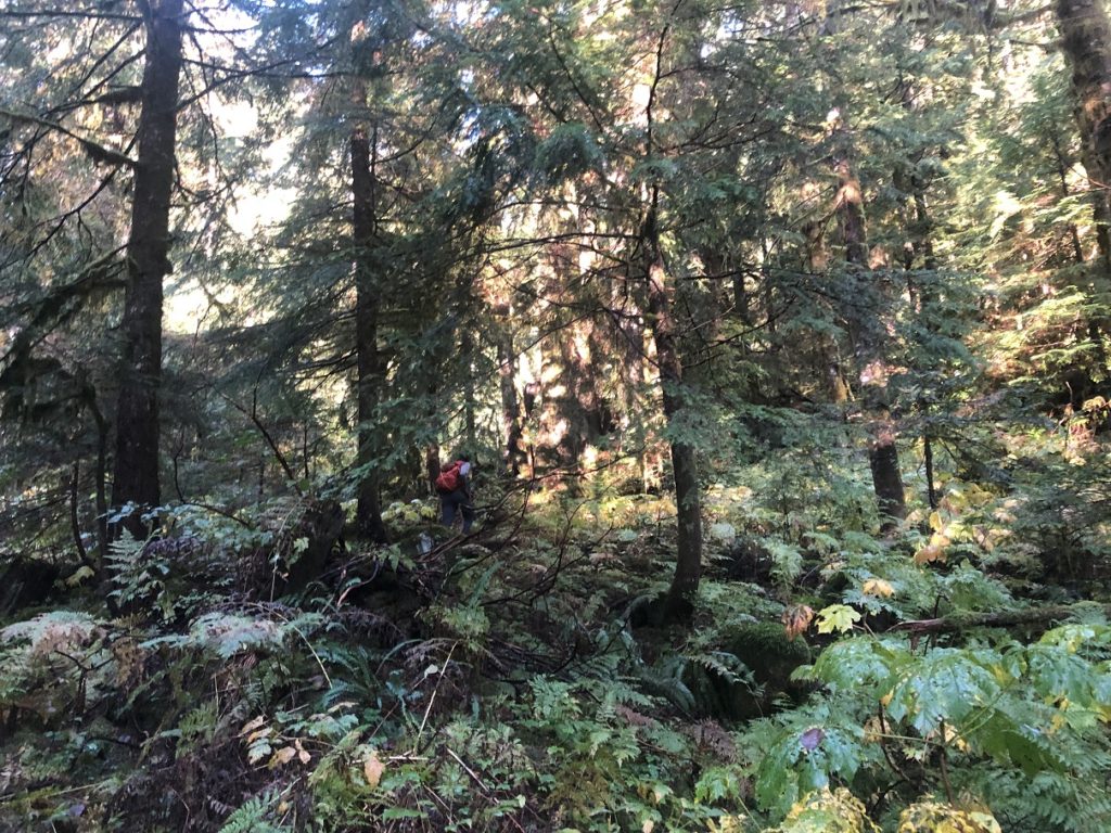
As we were chatting away, we managed to get off the trail. But it didn’t take us long to check the offline map on CalTopo/Gaia and get back on the trail.
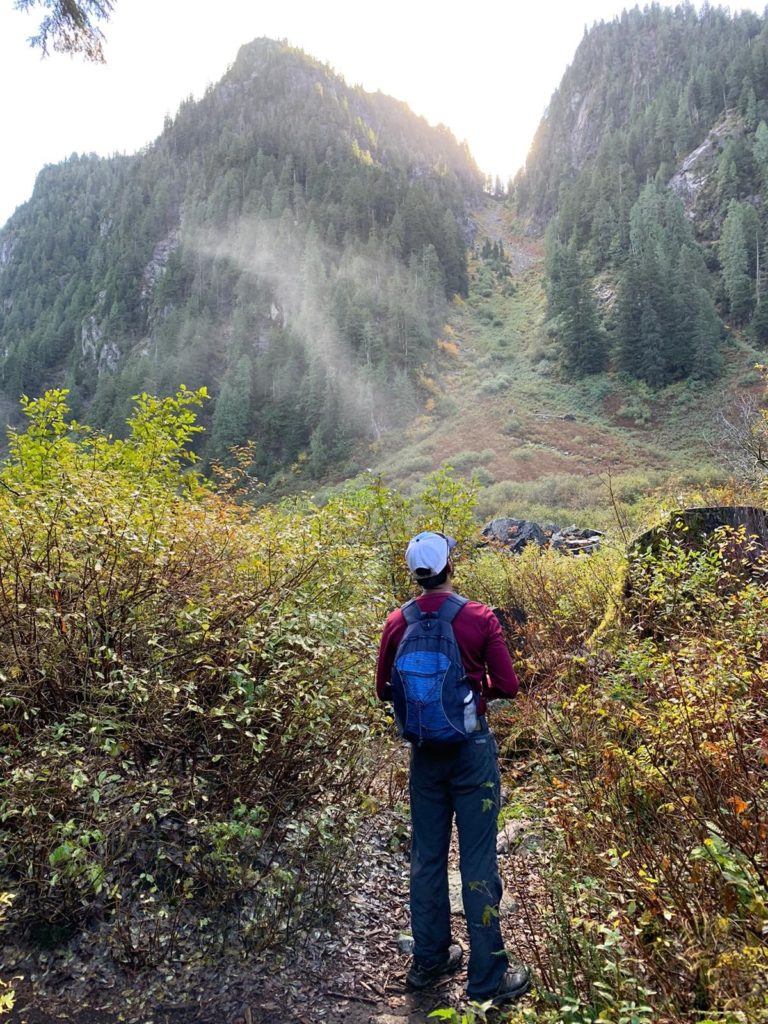
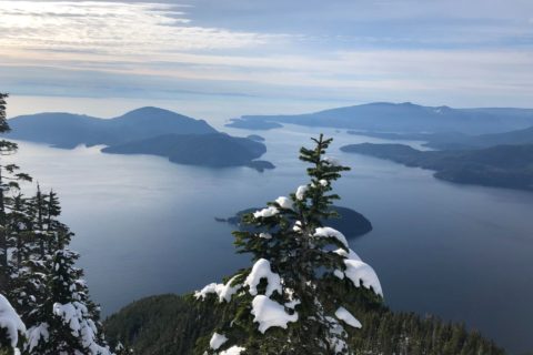
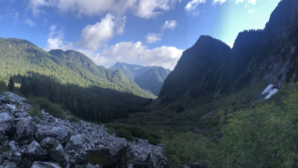
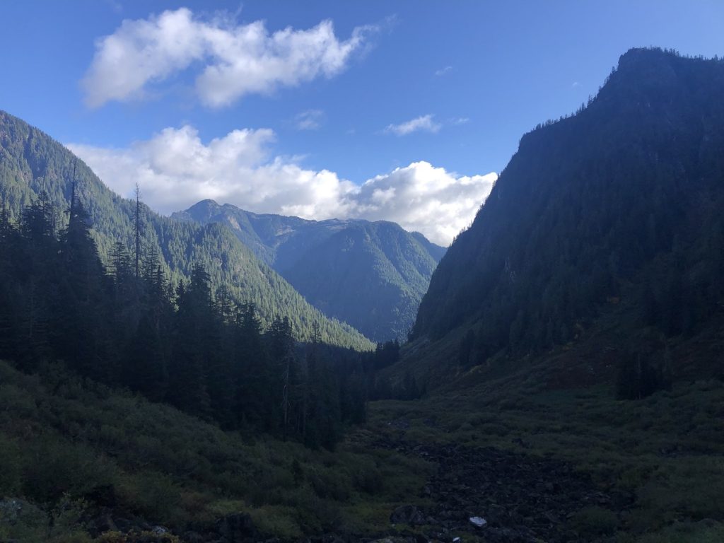
About two and half hours into the hike, we were now out in the open and had our first view of the Hanes Valley.
Hanes Valley to Grouse Mountain
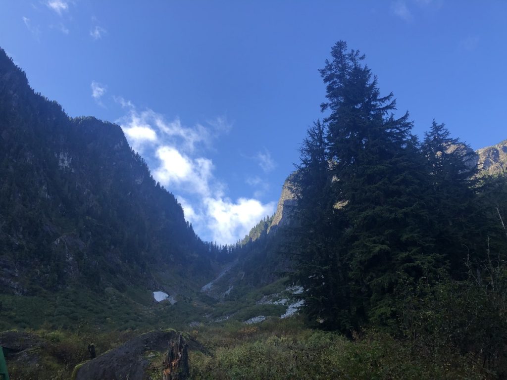
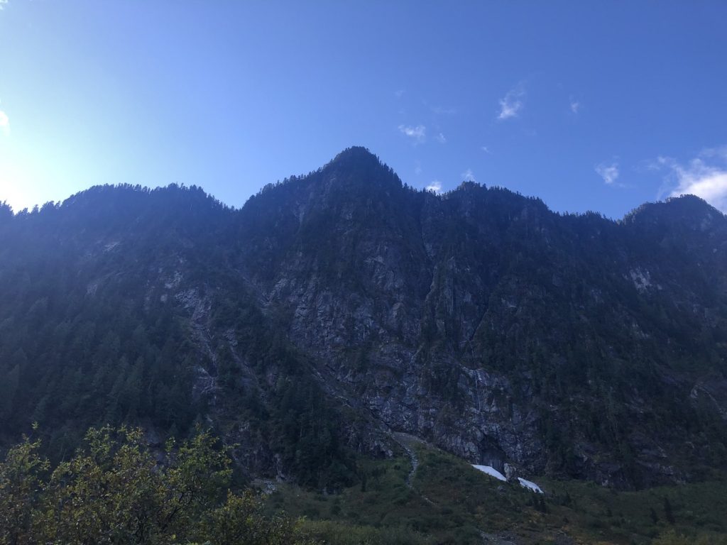
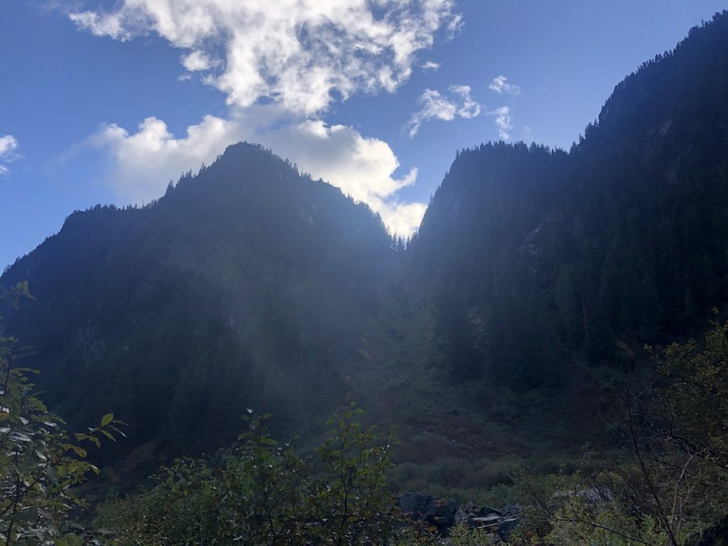
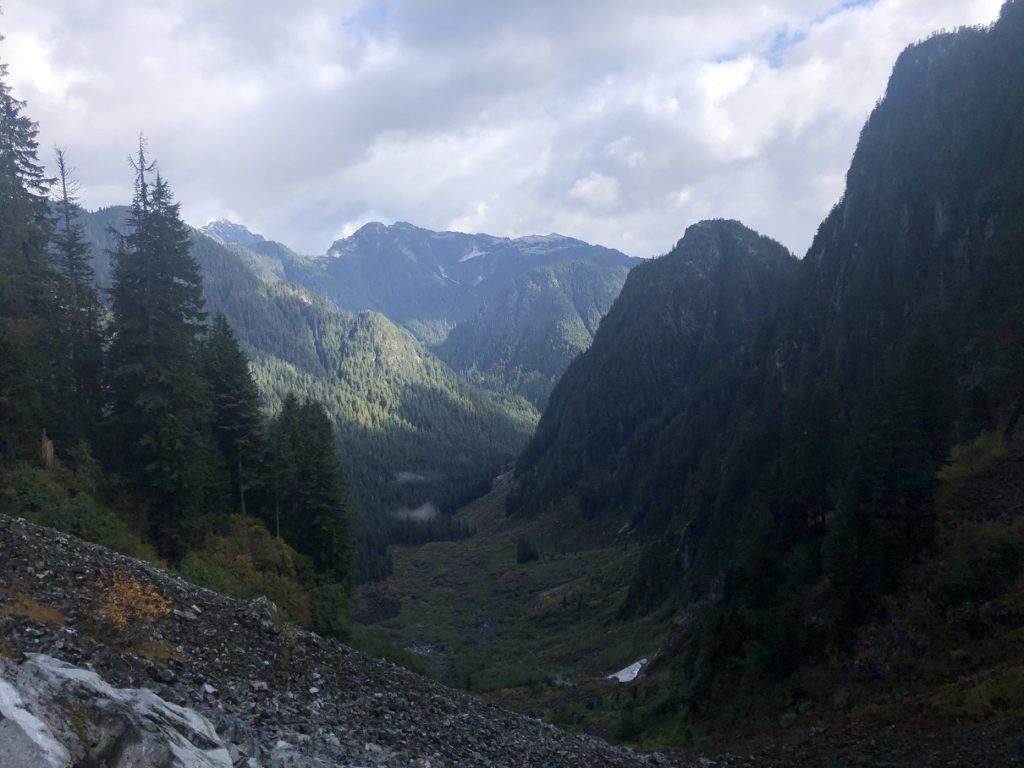
Further along the trail, we had better views of the valley.
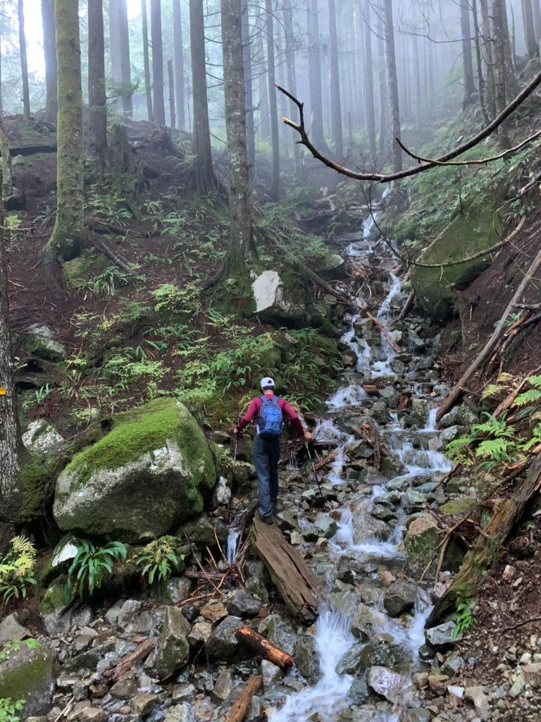
We continued along the marked trail and soon we were in the boulder field.
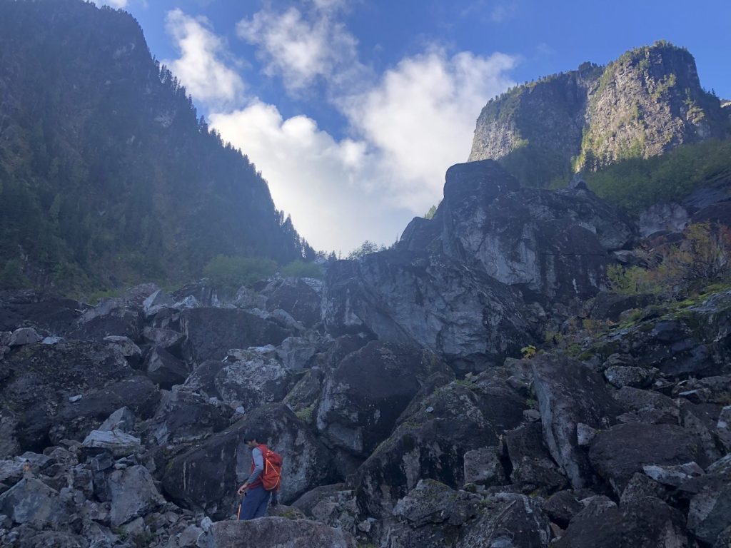
There is no trail as such, but the orange markers were helpful. We would occasionally refer back to our offline maps to make sure we were heading in the right direction. We continued our climb up and reached Crown Pass around 11:15 am, four hours since we started at the Lynn Headwaters parking lot.
We took a short break at the pass to refuel. Crown Mountain was 1.9 km from the pass and it would at least add 1.5-2 hours to our hike. If we did the Crown Mountain then we won’t be able to complete the loop by 4 pm. If we skipped Crown, then we could get down Grouse, hike back to Lynn Headwaters and get home in time. Rohan and I had both done Crown Mountain, so we decided to complete the Hanes Valley Loop.
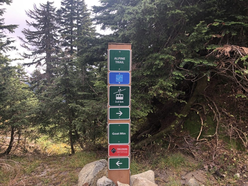
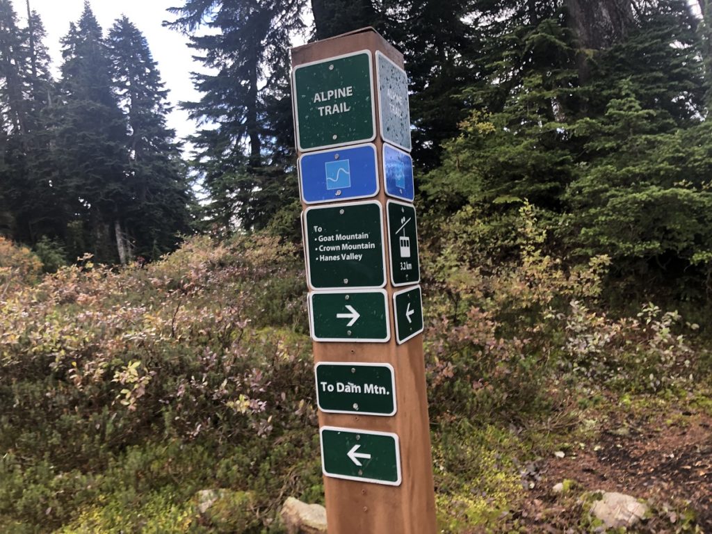
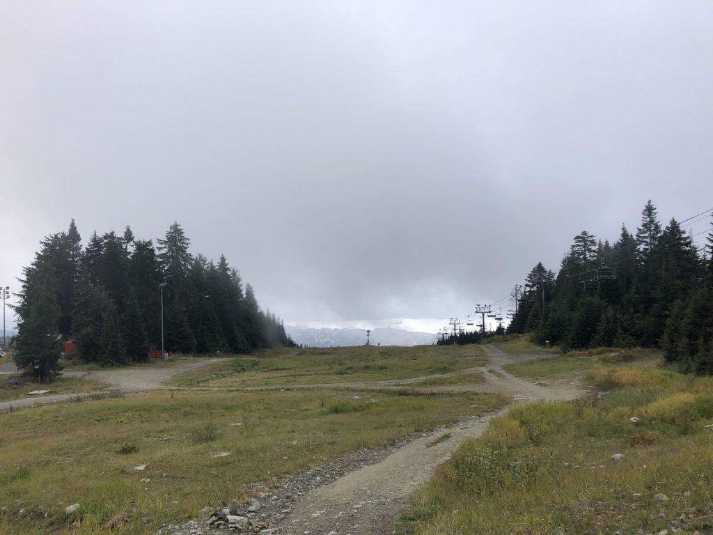
From the Crown Pass, it took us about an hour and ten minutes to climb up to Dam Mountain and then get down to the Chalet on Grouse.
Grouse to Lynn Headwaters
So far, we were assuming that we had to get down the Grouse via BCMC/Larsen trail to connect to Baden Powell Trail. But when we checked the Outdoor Vancouver GPX file, it suggested a route going along the Mountain Highway. From the Chalet, the Mountain Highway goes North East, cuts across most ski runs on Grouse and then drops down to Baden Powell Trail close to Mount Fromme.
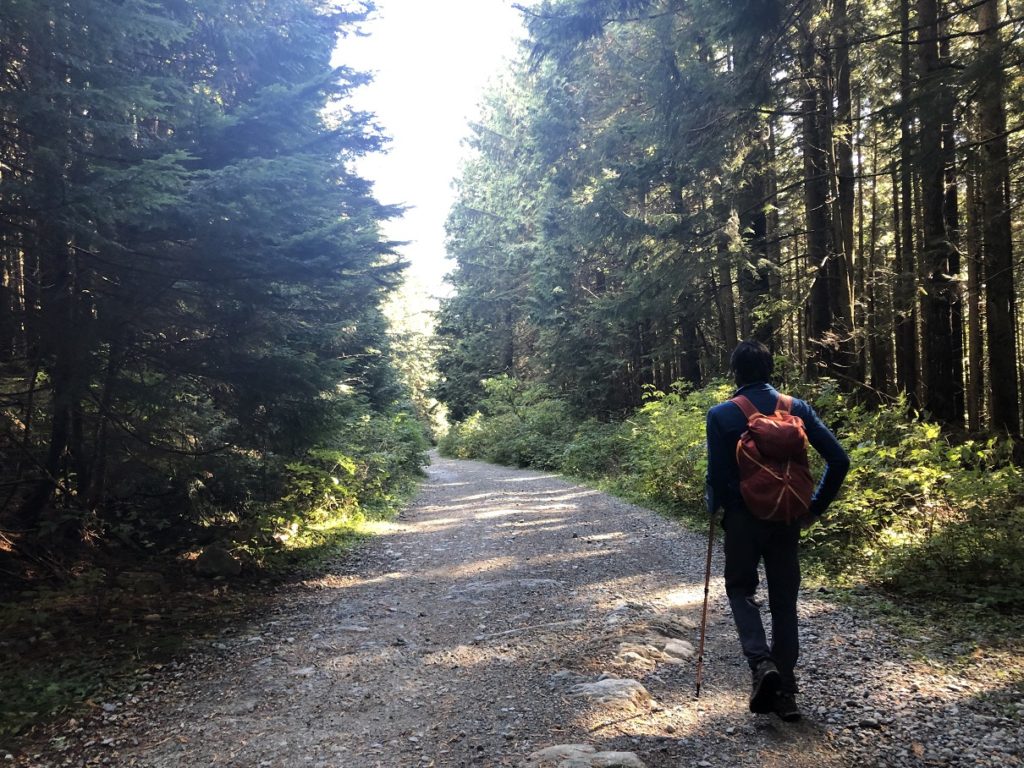
Given the limited time we had, we decided to just follow the tracks from Outdoor Vancouver and continued on Mountain Highway. A wide gravel road, there was nothing exciting about this path.
After hiking for more than an hour on the Mountain Highway, we took the Peer Gynt trail as it offered a more direct option. Some more walking on the highway and then we took the Ladies Only (an Experts Only Mountain Biker route) to connect with the Baden Powell Trail.
The Peer Gynt and Ladies Only trail shaved probably 3-4 km from our hike to Lynn Headwaters compared to the route suggested by Outdoor Vancouver. By the time we arrived at the parking lot, it was 3:15 pm.
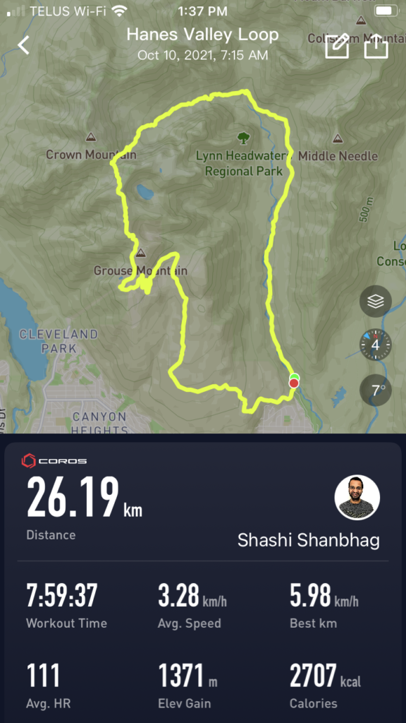
It had taken eight hours to hike about 26 km with close to 1370 m vertical. In terms of heart rate, I averaged about 111 for the entire duration, with close to 92% in Zone 1 (0-139) and just 8% in Zone 2 (140-155). Pretty good for what I thought was a challenging hike.
Resources:
Indigenous Community Websites: Squamish | Musqueam | Tselil-Waututh | Stó:lō
Trail Guide: Outdoor Vancouver | Vancouver Trails
Lynn Headwaters Park: Map
Disclosure: The links I have shared in the post and under the Resources section are not affiliate links.
Did you enjoy reading this post? Please subscribe to get weekly updates. Please share your feedback in the comments section below. Thank you!