Outdoor Vancouver recently released a trail guide for Sugar Mountain trail in Belcarra Regional Park. As I reviewed the trail stats, it seemed like a moderate trail that would be great for a family hike. We did this hike on April 2 with another family from our neighbourhood.
Celeste and Keith were among the first people we got to know after moving to our new place in 2019. Kavya is friends with their two kids Chloe (9) and Keira (7), and they were all excited to do this hike together.
The last time we were at Belcarra Regional Park, we had done the Jug Island Hike that started from the Belcarra picnic area. For this hike, we would be starting from the White Pine Beach Parking Lot.
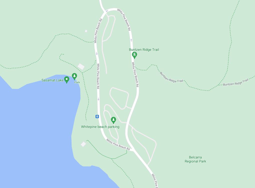
Parking Lot E is the closest to the trailhead, but it was closed, so we parked at the northernmost parking lot on White Pine Beach Road. Around 3 pm, we met with Celeste, Keith and their kids at the trailhead.
Buntzen Ridge Trail
The Sugar Mountain loop starts right off the White Pine Beach Road, and the first section of the hike is on Buntzen Ridge Trail. The trail climbs up steadily, and we gained about 150 m in 1.2 km till we reached the junction of Bunzten Ridge Trail and Sugar Mountain Trail.
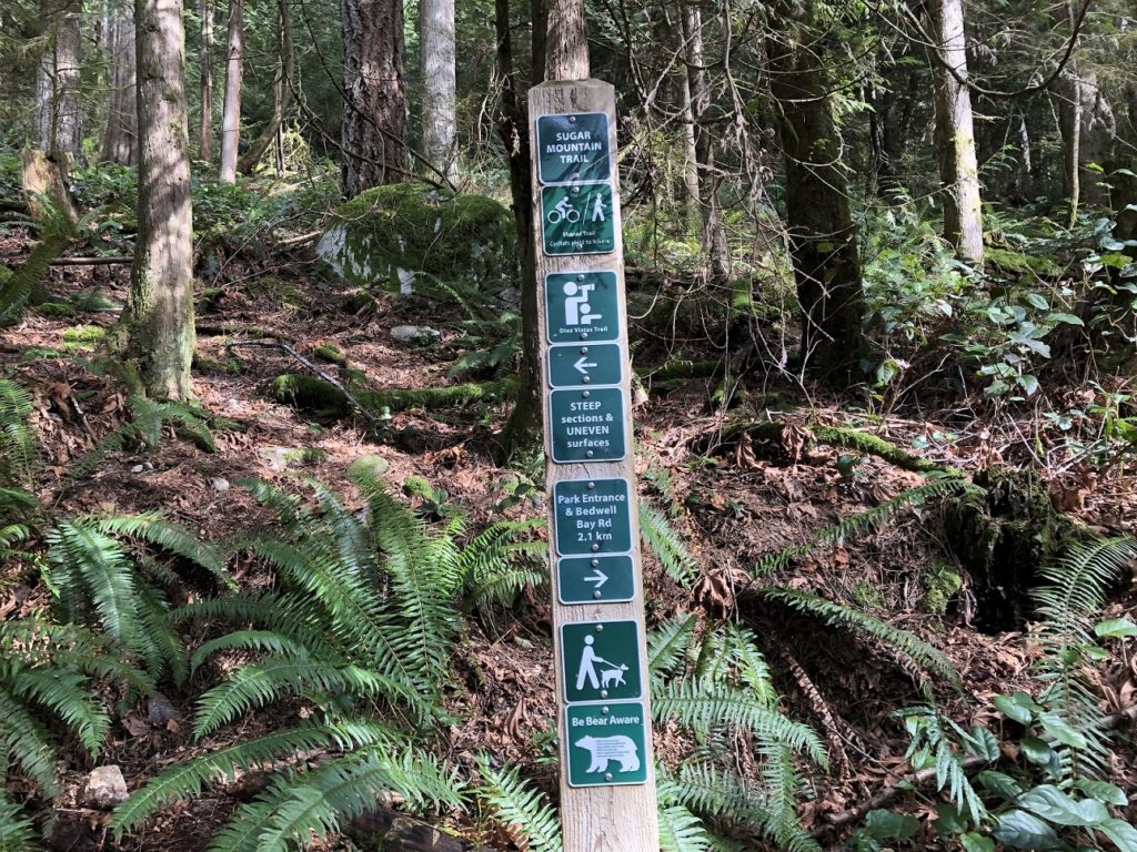
It took us about thirty minutes to arrive at this junction. To our left, we had a trail that went up the hill. To the right, it was all downhill. The kids would have loved to go right, but we went left to continue going up hill.
Another fifteen minutes of hiking, and we took our first break. The trail had flattened out for now, but we still had about 120 m of elevation gain to reach the top.
Sugar Mountain Trail
Soon, we were back on the trail. About 2.5 km into the hike, we saw this trail sign –
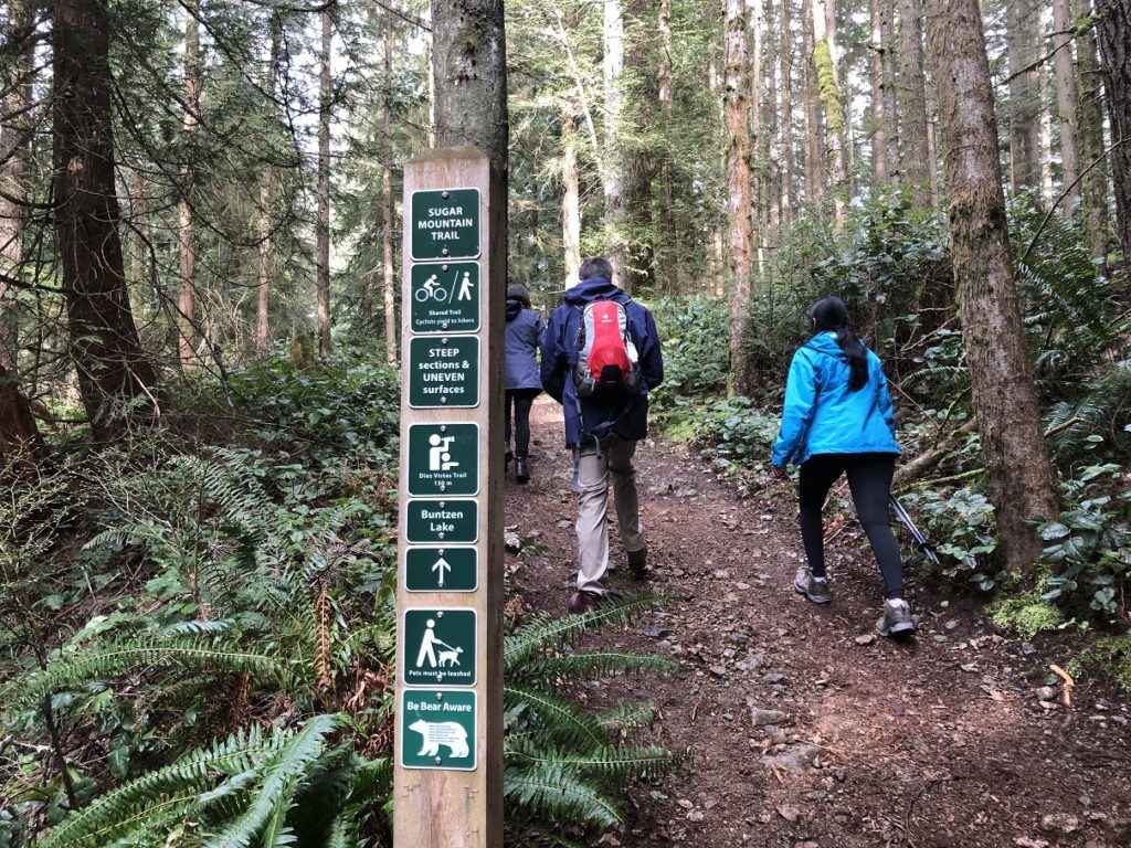
We continued on this trail, but as I checked the tracks I had downloaded from Outdoor Vancouver, I realized we were heading towards Diez Vistas Trail. We retraced our steps and took a left just after the trail sign (right and before the trail sign when you come up).
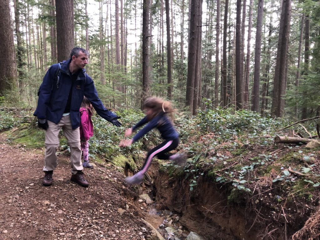
From here on, the trail was more rugged and relatively steep in some sections. We took a couple of short breaks as we made our way to the top. As the kids were losing patience, Keith asked them to find the trail markers. It was a brilliant idea as it kept them busy.
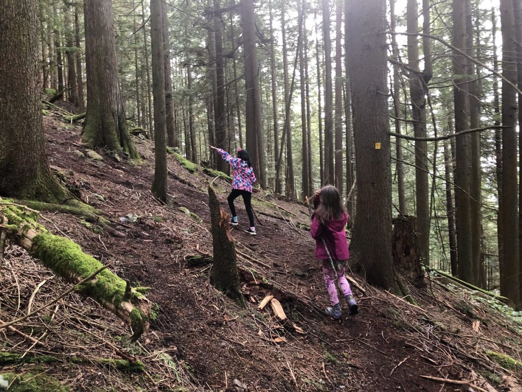
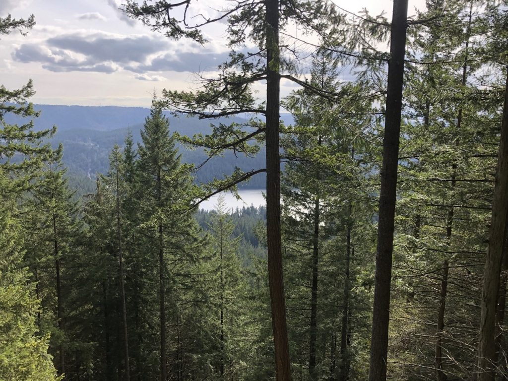
After 1.5 hours, we were at the top of Sugar Mountain. A short hike took us to the lookout. Through the trees, we had a partial view of Sasamat Lake.
Back to Parking Lot
As the trail drops back down, there are several junctions. If you are not familiar with the area, I would recommend having a map or a trail app to ensure you don’t go off track.
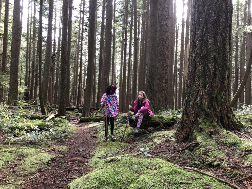
At a few junctions, I opened the GAIA GPS app on the phone and asked the kids to check the direction we were going. It was fun to see them take the phone, point in different directions and see if the arrow aligned with the marked trail on the app.
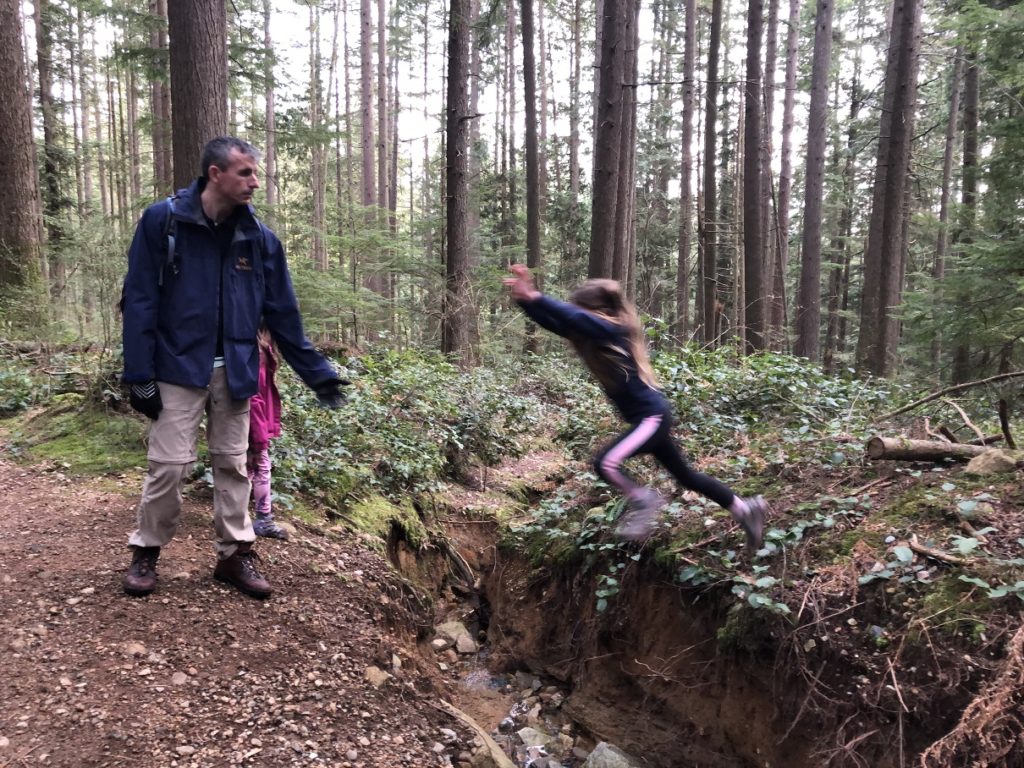
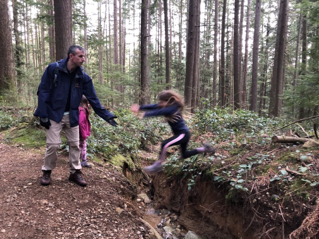
Some more fun on the trail –
We were soon back at the junction and took a left to get back down to the parking lot. It took us about three hours to complete this 7 km loop with about 450 m elevation gain loss. The views are okay (maybe they are better on a clear day), but the hike is good and not many people on the trail. It is a good moderate family hike.
Earlier in the day, I had done Mount Strachan, so I ended up doing a total of 17 km with about 1100 m elevation gain/loss.
Resources:
Trail Guide: Outdoor Vancouver
Belcarra Regional Park: Website | Park Map
Map: GAIA GPS
Disclosure: I am not affiliated with any of the above individuals or organizations.
Did you enjoy reading this post? Please subscribe to get weekly updates. Please share your feedback in the comments section below. Thank you!


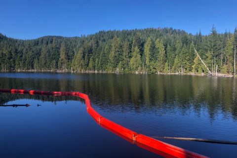
I remember hiking around Buntzen Lake when I was a kid for an overnight Scouts camp. It was pouring rain and we got completely soaked. Despite that, we still had a lot of fun.
Bob,
Thanks for stopping by and commenting on the post. The area around Buntzen lake is beautiful and has some great options for family hikes.