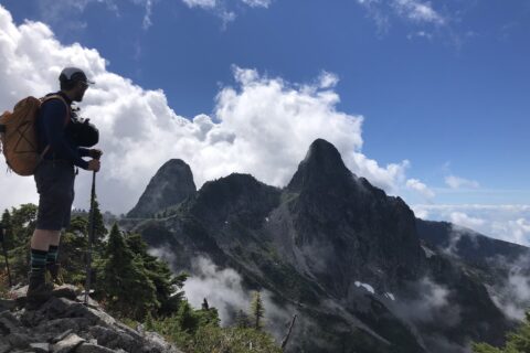
The first time I heard about Cypress Lake hike, I thought it was in Cypress Provincial Park. I was pleasantly surprised to read that it is actually in Coquitlam, much closer to my home. At less than 9 km with about 500 m elevation gain, it is a relatively easy hike. I posted the trip on BCMC and reached out to few members who have joined on family trips in the past.
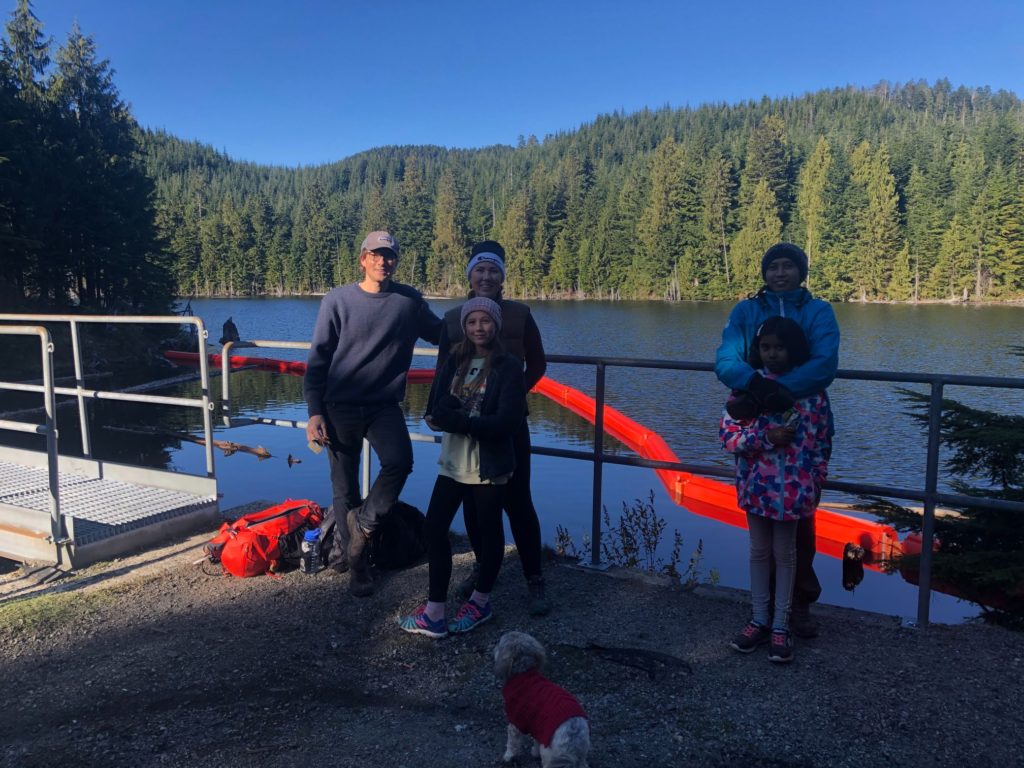
Scott signed up, and he would be joining with his wife Heidi and daughter Geneva. Scott and I first met on the BCMC Markhor Needle Traverse trip, and then we made a Kids Climbing trip with a few other families. Geneva climbs well, and I admire her ability to connect with younger kids and coach them. Kavya was excited to meet Geneva.
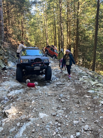
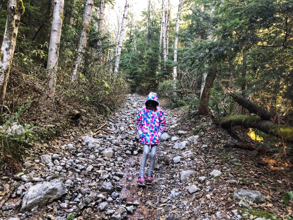
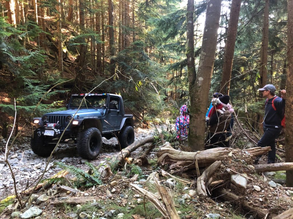
Off-Roading Trail
We met at the trailhead in Westwood Plateau at 10 am. We made our way to the green gate and continued the hike on the paved road. A few minutes into the hike, I realized that I had forgotten to take water bottles from the bigger pack in my car. I ran back to the car and caught up with the group at another junction.
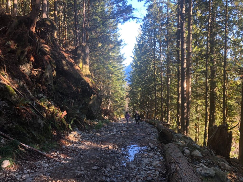
We would now leave the paved road and hike up the trail to the right. Just a few minutes later, we saw a 4 X 4 stuck by the side of the trail in a precarious position. It seemed like the driver had tried to go around a big rock but ended up going off the track. Scott checked if the group needed any help, but looks like help was on the way and things were under control.
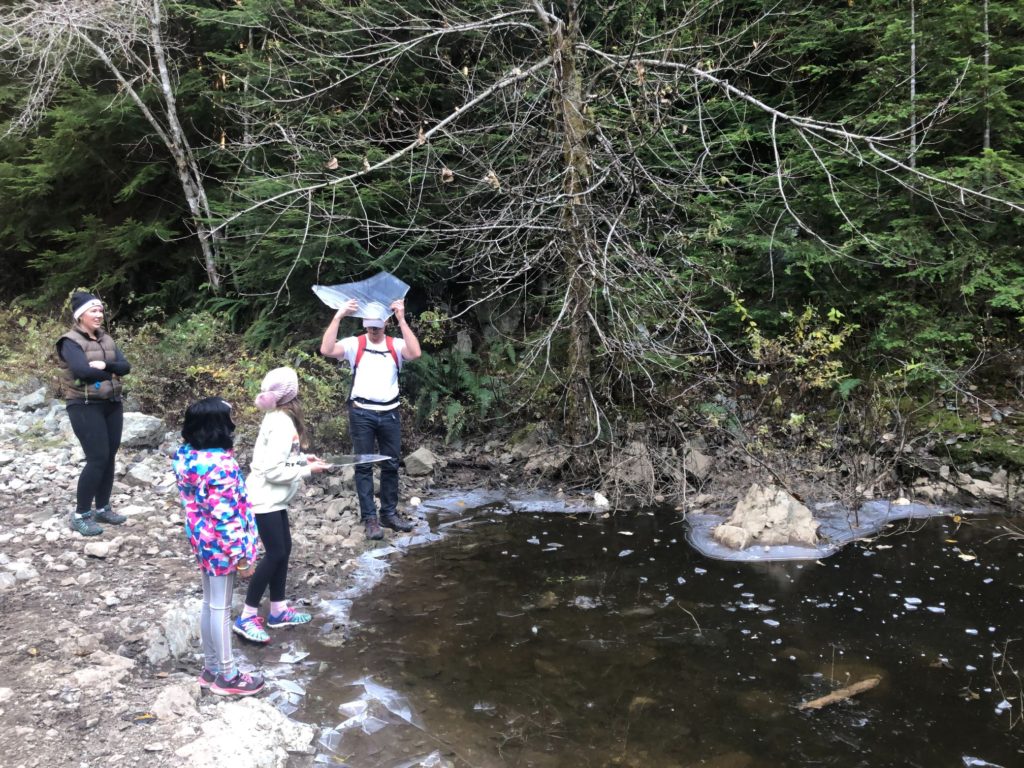
Frozen Pond
About thirty minutes into the hike, we came across a pond with a thin layer of ice. Kavya tested the ice layer with the trekking pole.
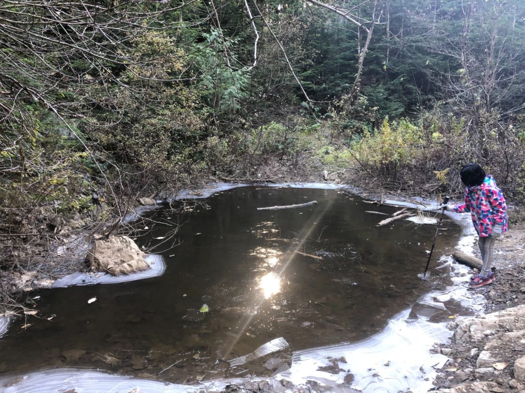
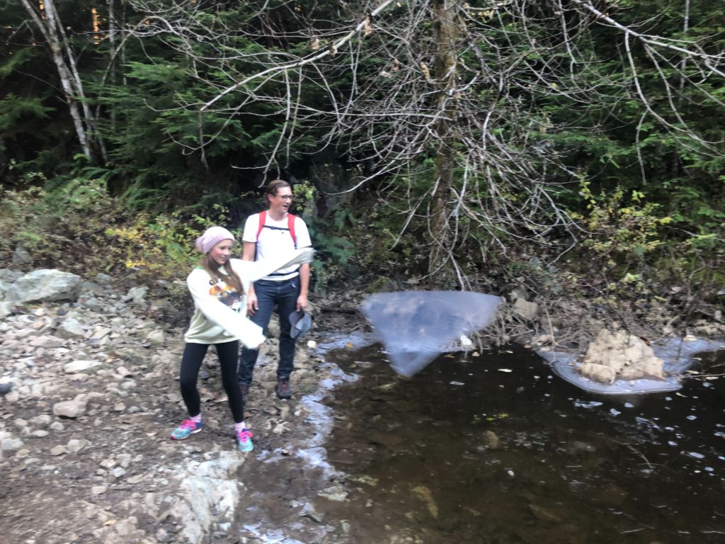
Scott showed some cool tricks with ice.
The kids enjoyed throwing ice sheets into the pond and seeing it break into pieces.
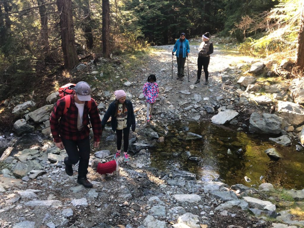
After a good break, we were back on the trail. Soon, there was a fork in the trail with no signs. I pulled up GAIA GPS on my phone and checked the GPX track I had downloaded from Outdoor Vancouver. Over the next one hour, we would check the GPX track at every trail junction. It is easy to get lost here.
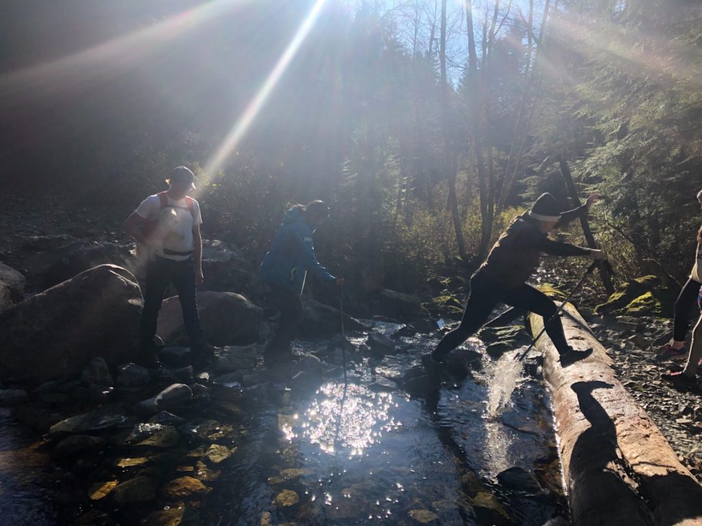
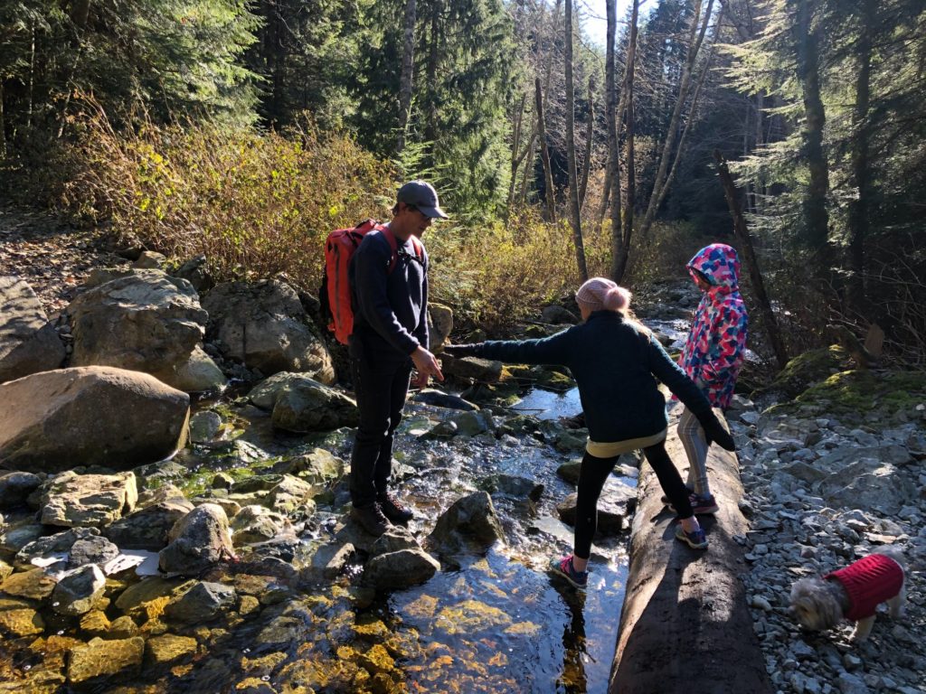
In the second half of the hike, we crossed a few streams.
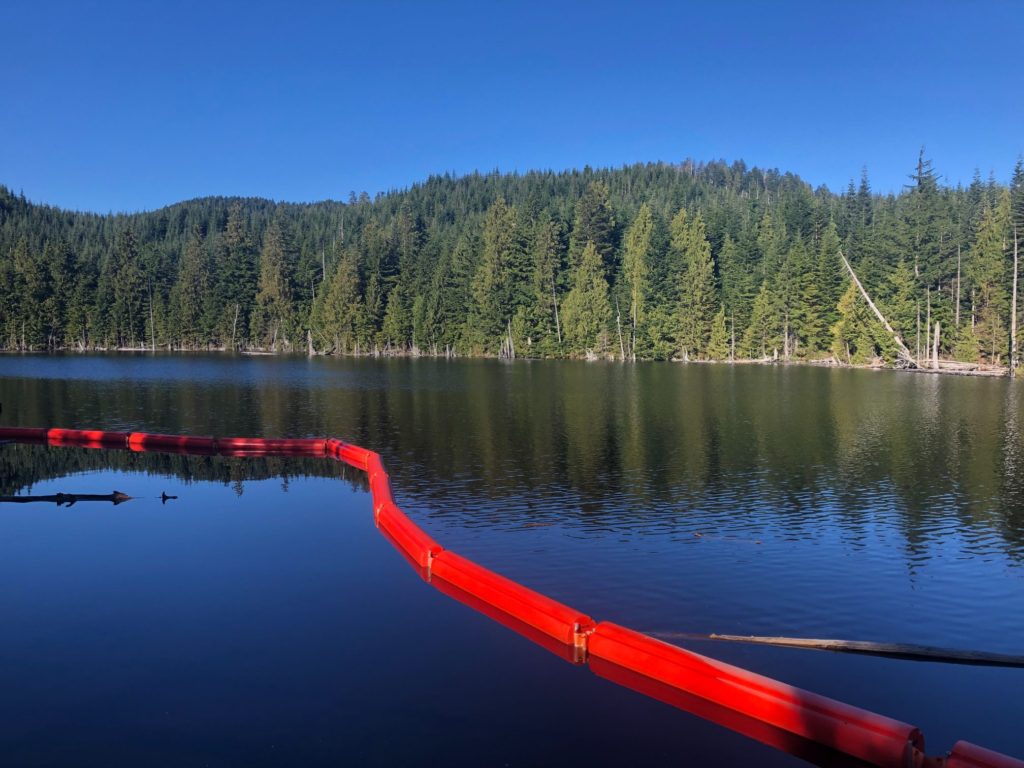
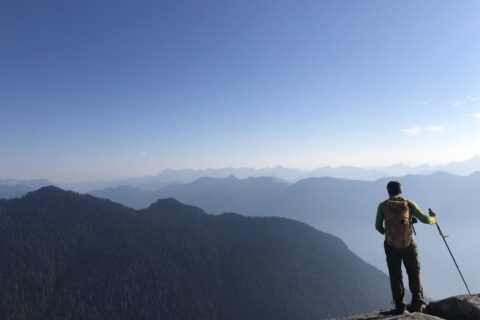
Cypress Lake
Finally, after one and half hour of hiking, we were at the lake.
History of the lake –
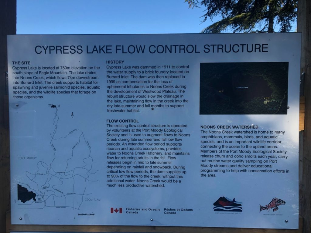
The temperature had dropped, and it was freezing at the lake. After a quick snack, we were back on the trail.
Kavya was tired by now, and we hiked together for a while.
Closer to the trailhead, we came across a few more off-road enthusiasts.
Finally, after three hours of hiking, we were back at the parking lot. We had hiked 8.8 km with 490 m elevation gain/loss in three hours. This one might very well be the last BCMC trip of this year, as all trips are on hold based on BC COVID-19 guidelines.
Let’s hope for the best!
Resources:
Trail Guide: Outdoor Vancouver | 4WD Association of BC
Trip Planning: Adventure Smart – an excellent tool to leave a trip plan with your emergency contact.
If you are in Lower Mainland, check out British Columbia Mountaineering Club for trips and courses.
Disclosure: I am a member of BCMC. I am not affiliated with any of the other individuals or organizations.
Did you enjoy reading this post? Please subscribe to get weekly updates. Please share your feedback in the comments section below. Thank you!
nehamipramane sunder.
chanch.
Thank you!