On BCMC, I posted a trip to Elk Mountain on November 7. Considering it is in Chilliwack, I was doubtful about the response, but six people signed up. As I was reading more about this hike on Outdoor Vancouver, I realized there is an option to hike further to Mount Thurston.
Just the hike to Elk Mountain and back is around 8 km, with 770 m elevation gain. Extending the hike to Mount Thurston would add another 7 km but a relatively small elevation gain of 200 m. I was not sure how many people would want to go to Mount Thurston, but we could decide once we are at Elk Mountain.
Trip Plan
In one of my recent posts, I had talked about the need for a Trip Plan and leaving it with someone. Our hike was fairly straightforward, but having a plan is always a good idea. So I used the Adventure Smart tool to put together a trip plan.
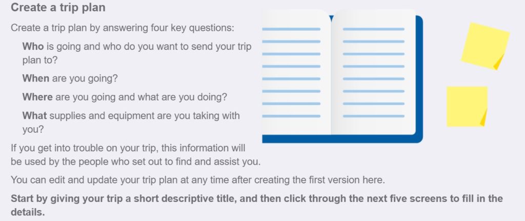
Here is all the information I filled out and shared it with Kasturi –
- Participant Information
- Emergency Contact Information
- Departure and Return Time
- Trip Location and Purpose
- Equipment & Supplies
- Miscellaneous Information – I shared the link to BCMC posting and BCMC contacts to call if Kasturi doesn’t hear from me by 6 pm
Once I activated the plan, the trip plan link was texted to me and Kasturi (my emergency contact). After the specified return time, the Adventure Smart app will send a “trip is overdue” reminder if I don’t go in and complete the trip.
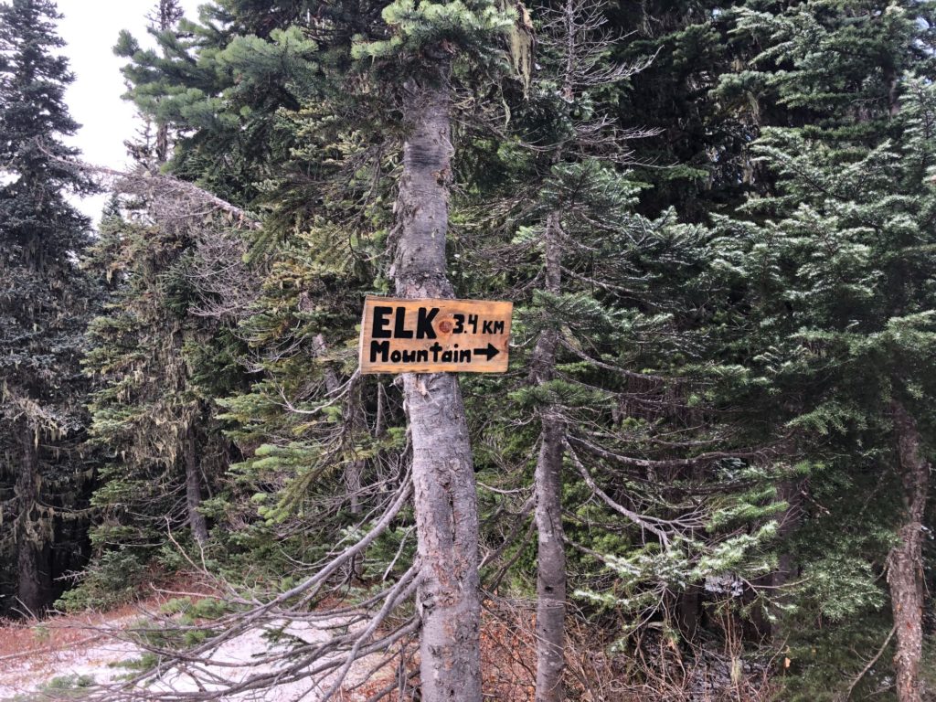
Elk Mountain
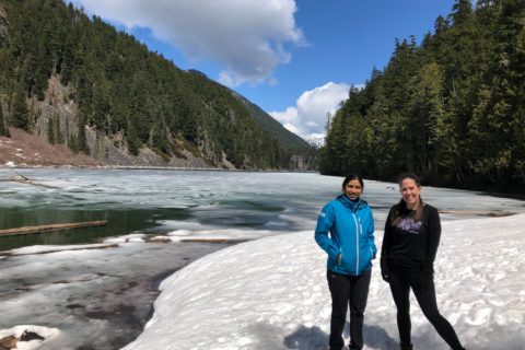
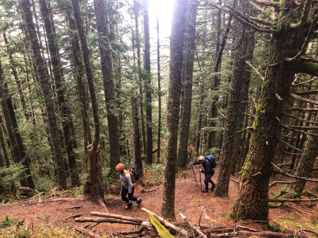
It was my first hike in Chilliwack, and I was looking forward to this hike. I left home at 7 am and reached the parking lot by 8 am. Hamayun and Stephanie were already there. I had done Golden Ears and Crown Mountain hike with them earlier this year.
Shortly after that, Jasone joined us. I had briefly met Jasone on the Golden Ears hike and had chatted with her about other trips. So it was good to finally do a trip with her. I would be hiking for the first time with Chris H, Chris B and Curtis.
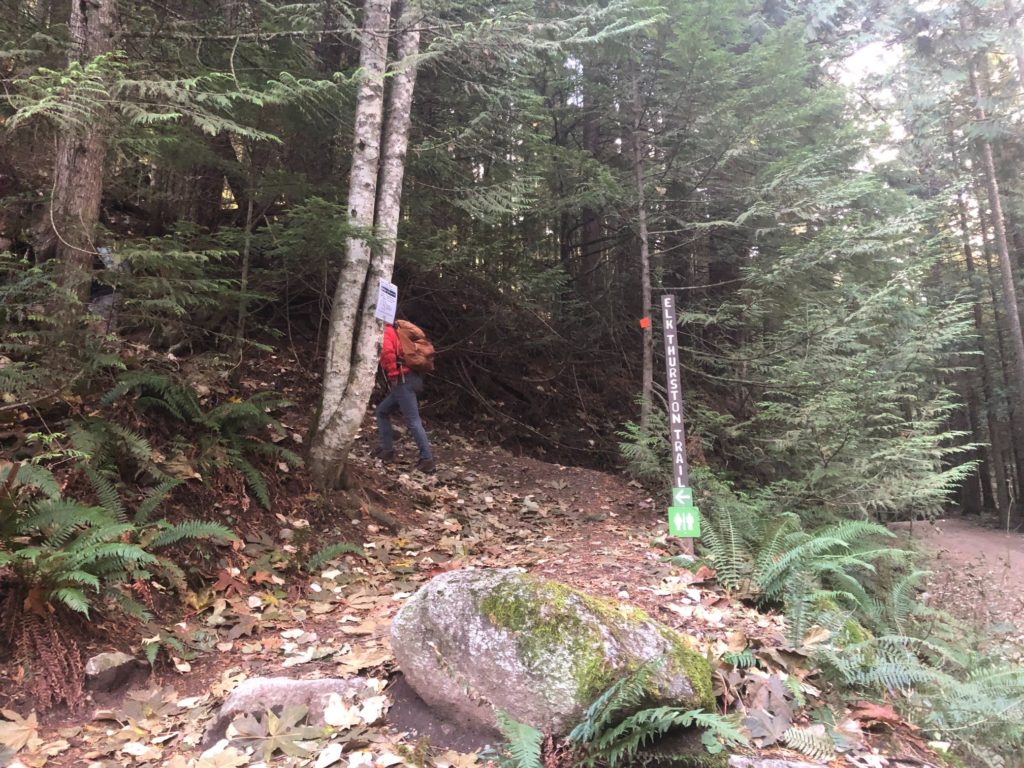
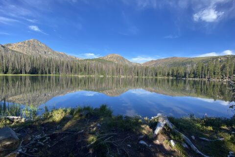
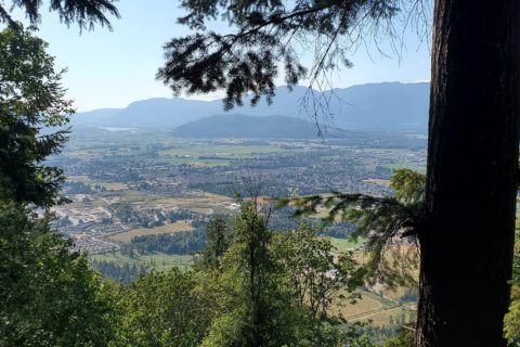
We hit the trail around 8:15 am. I had downloaded the GPX tracks from Outdoor Vancouver, but the trail is well maintained and was easy to follow. Fifty minutes into the hike, we reached a flat spot with a limited view of Chilliwack.
After a brief break, we were back on the trail. It was cold and the temperature dropped further as we gained altitude.
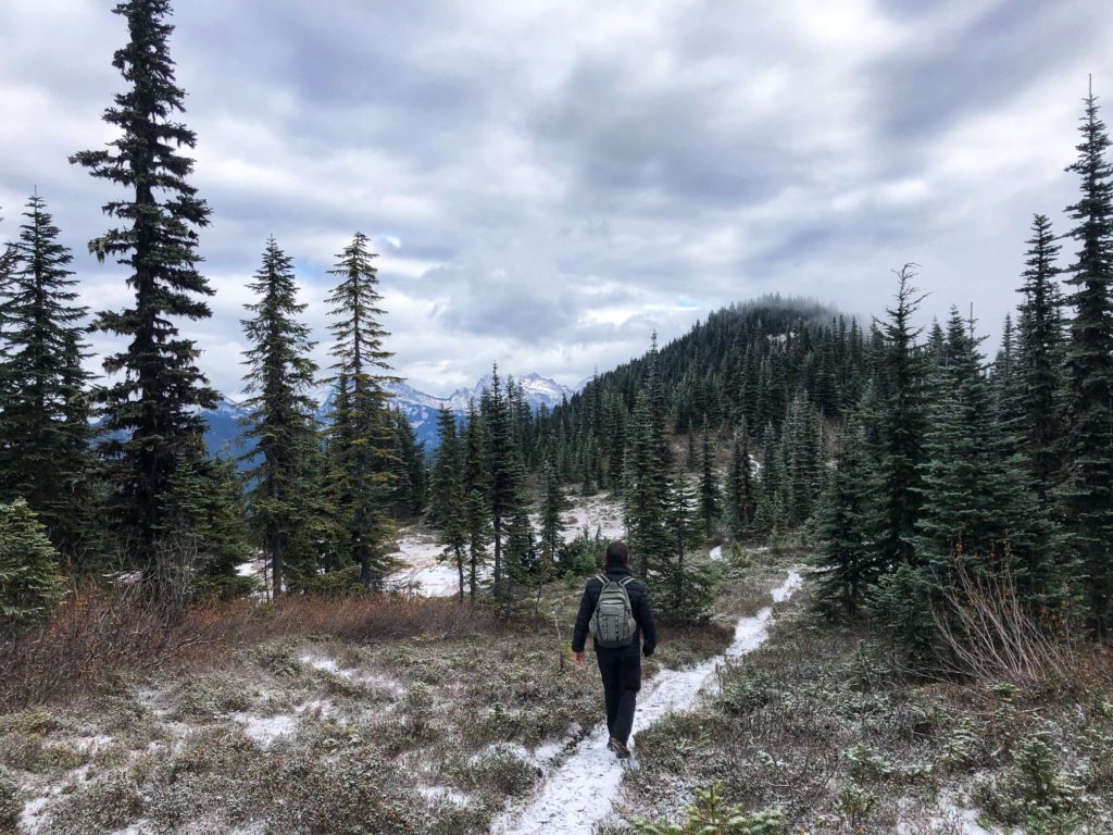
Higher up, there was frost on the trail and it started snowing around 10 am.
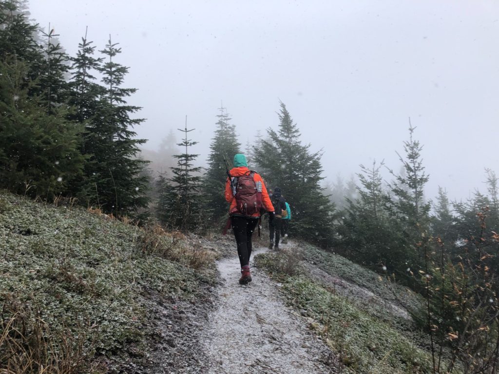
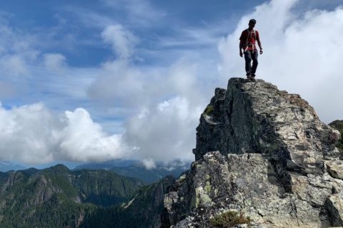
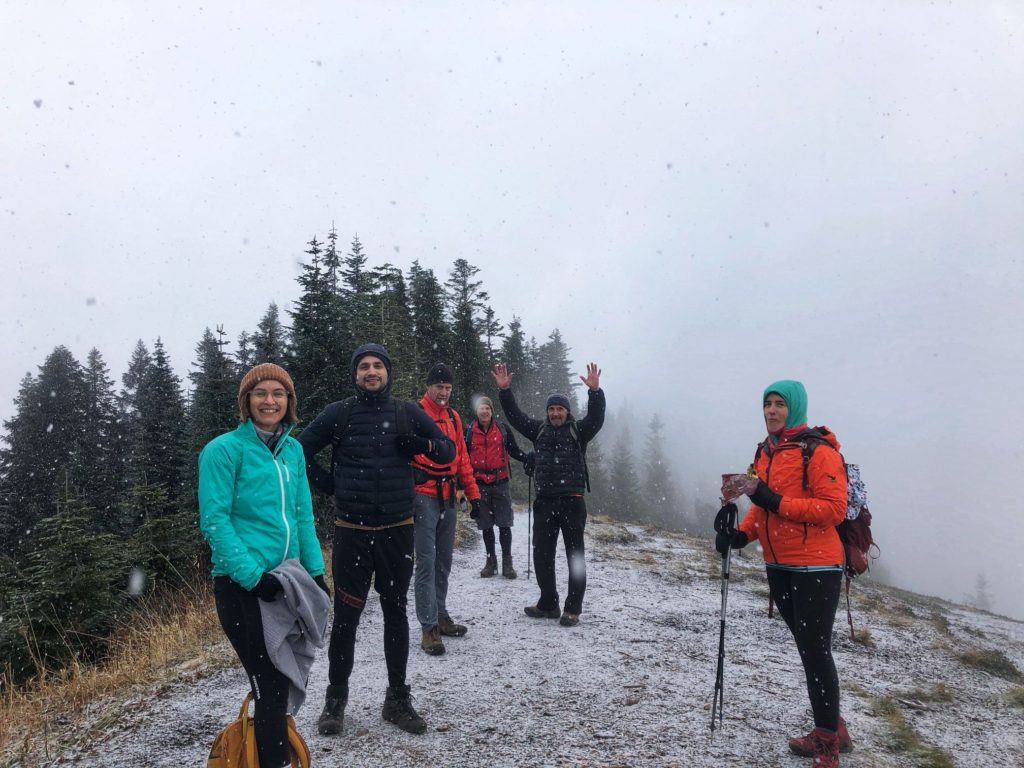
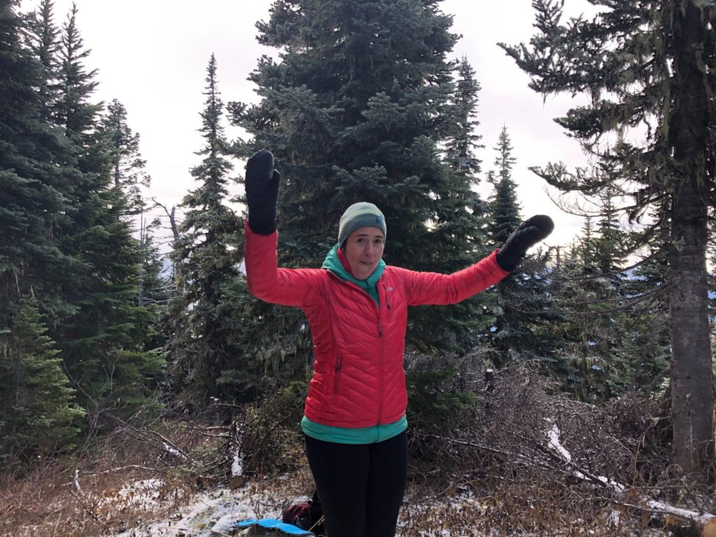
After about an hour and fifty minutes of hiking, we arrived at Elk Mountain in a whiteout.
Mount Thurston
We were doing pretty good on time, so most of us decided to continue the hike to Mount Thurston. Hamayun had hurt his ankle a couple of weeks back while playing soccer, so he and Stephanie turned around.
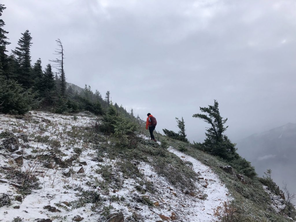
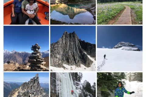
At about 1.5 km from Elk Mountain, we arrived at a viewpoint that is marked by a cairn.
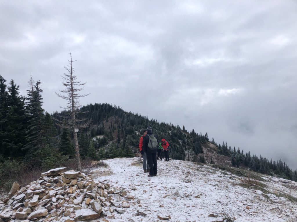
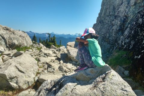
The trail to Mount Thurston was relatively flat but icy at some sections. The visibility improved, and we could partially see some of the surrounding mountains.
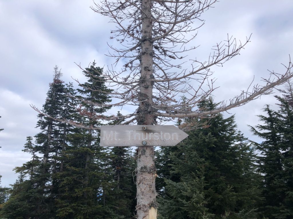
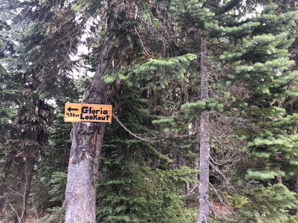
Around 11:20 am, we reached Mount Thurston. I don’t think I have ever been on a summit surrounded by trees with such a restricted view. It was a bit weird. From here, the trail continues to Mercer Peak and another trail drops to Gloria Lookout.
It was probably -5 C at the summit, and Jasone’s hands were freezing. She was wearing a glove and mitten, but it didn’t help. Chris H shared some incredible stories of frostbite along with some tips for Jasone. Chris B shared some hand warmers that provided some temporary relief.
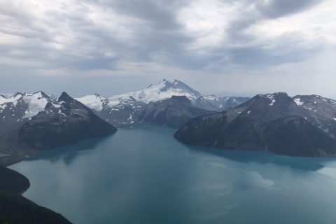
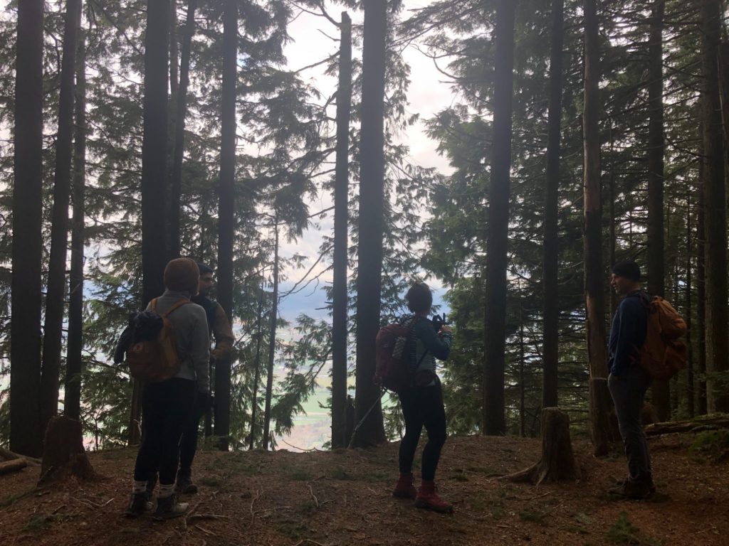
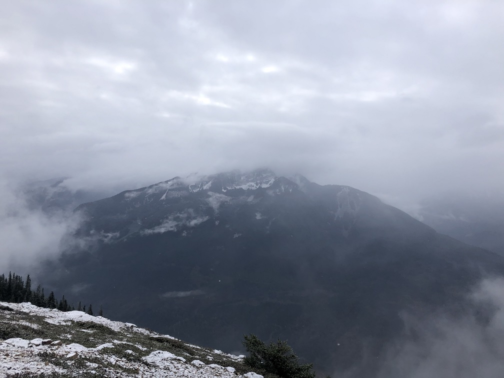
Views from Elk-Thurston Trail
After a 20-minute break, we got going.
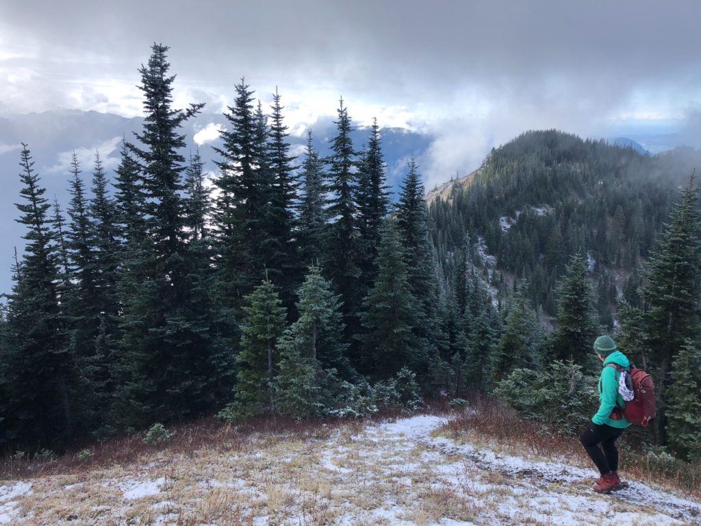
By the time we got back to Elk Mountain, the visibility had improved and we had good views of the Chilliwack River and the mountains to the south.


By 2:15 pm, we were back at the parking lot. We had hiked 15.8 km with about 1350 m in elevation gain/loss in six hours. It was a good hike in decent weather. I had carried a 27 lb bag as part of my training and I felt good.
One of the things I have really enjoyed on BCMC trips is meeting people with diverse backgrounds. Our group had two people from the UK and one from Australia, Germany, India, Pakistan, and Spain. Few have been in Vancouver for decades, and others like me had recently arrived.
It is always good to chat with people about their family, journey to Canada, experiences, and, of course, outdoor pursuits and goals.
Stó:lō Tribal History
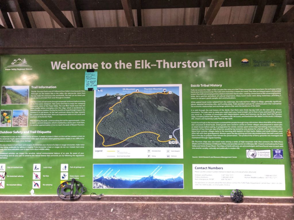
The sign at the trailhead has some interesting information about the region and Stó:lō tribe. Here is an extract –
“Trails ran across the ridges of Cascades like veins on a leaf. These mountain tops have been the pathways of the Stó:lō since time immemorial…Foods found in the mountains sustained the people through long cold winters. More than 60% of the winter consisted of dried foods.”
Source: Stó:lō Research and Resource Management Centre
Resources:
Stó:lō Nation | Stó:lō Research and Resource Management Centre
Trail Guide: Elk Mountain | Mount Thurston
Trip Planning: Adventure Smart
If you are in Lower Mainland, check out British Columbia Mountaineering Club for trips and courses.
Disclosure: I am not affiliated with any of the above individuals or organizations.
Did you enjoy reading this post? Please subscribe to get weekly updates. Please share your feedback in the comments section below. Thank you!