On January 22, I got back from my five-day Ice Leader Camp in Canmore. As I was looking for an easy to moderate family hike for the following day, I came across Outdoor Vancouver’s recent post on Belcarra Bluffs. At 7 km and moderate difficulty, it seemed perfect for a family hike.
Territory Acknowledgement
I would like to acknowledge that Belcarra Bluffs hike is on the unceded territory of the Coast Salish peoples, including the territories of the Səl̓ílwətaʔ/Selilwitulh (Tsleil-Waututh), xʷməθkwəy̓əm (Musqueam), Skwxwú7mesh (Squamish) and Qayqayt (Kee-kite) Nations. I commit to learning about Indigenous peoples and issues and making reconciliation an ongoing effort.
Source: native-land.ca, Pronunciation Guide
On October 8, Tselil-Waututh and Metro Vancouver announced that Belcarra Regional Park would become known as təmtəmíxwtən/Belcarra Regional Park.
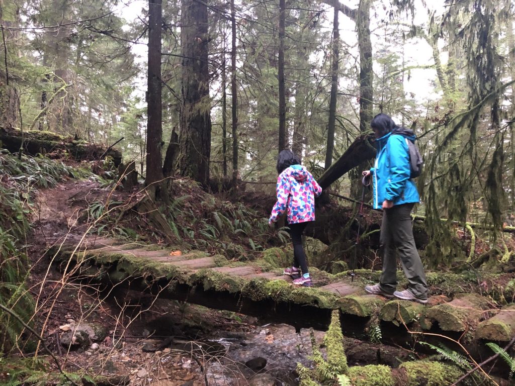
Springboard Trail
Last year in January, we were in təmtəmíxwtən/Belcarra Regional Park for the Jug Island hike. Like last year, the picnic area parking lot was busy, but we got lucky and found a spot when we arrived around 1:30 pm.
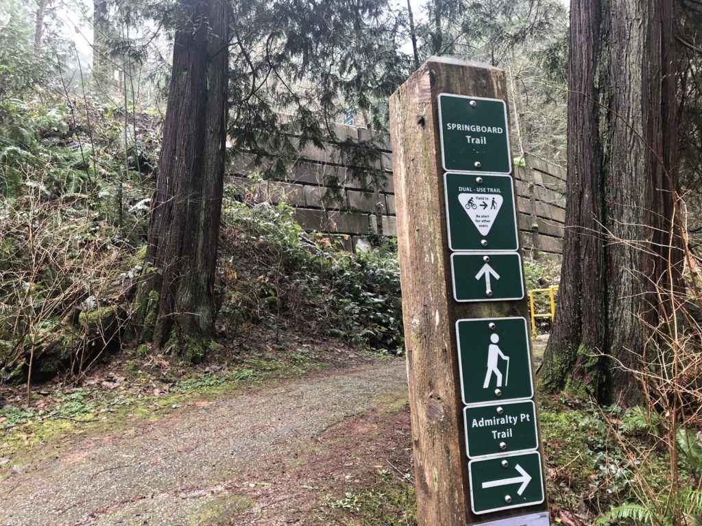
The hike starts left of the washrooms near the parking lot and the initial section follows the Springboard Trail. Unfortunately, the trail is not marked on the park’s map, so I relied on the GPX file from Outdoor Vancouver for navigation.
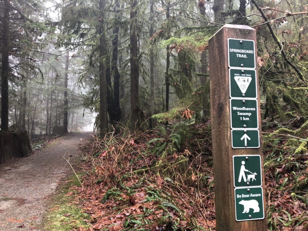
About a km into the hike, the trail climbs up to the right, and we just walked past it the first time. I checked GAIA Maps to confirm as there was no sign marking this trail.
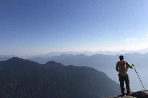
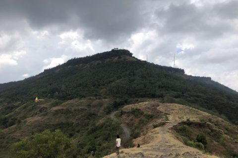
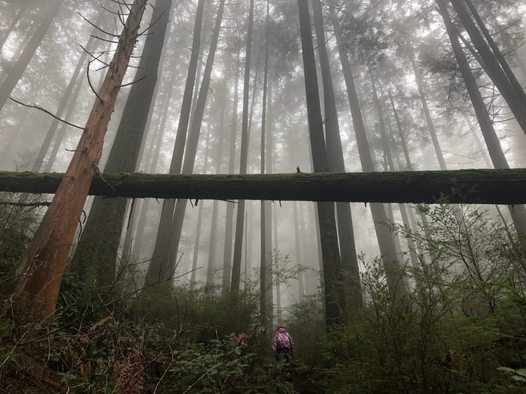
Belcarra Bluffs
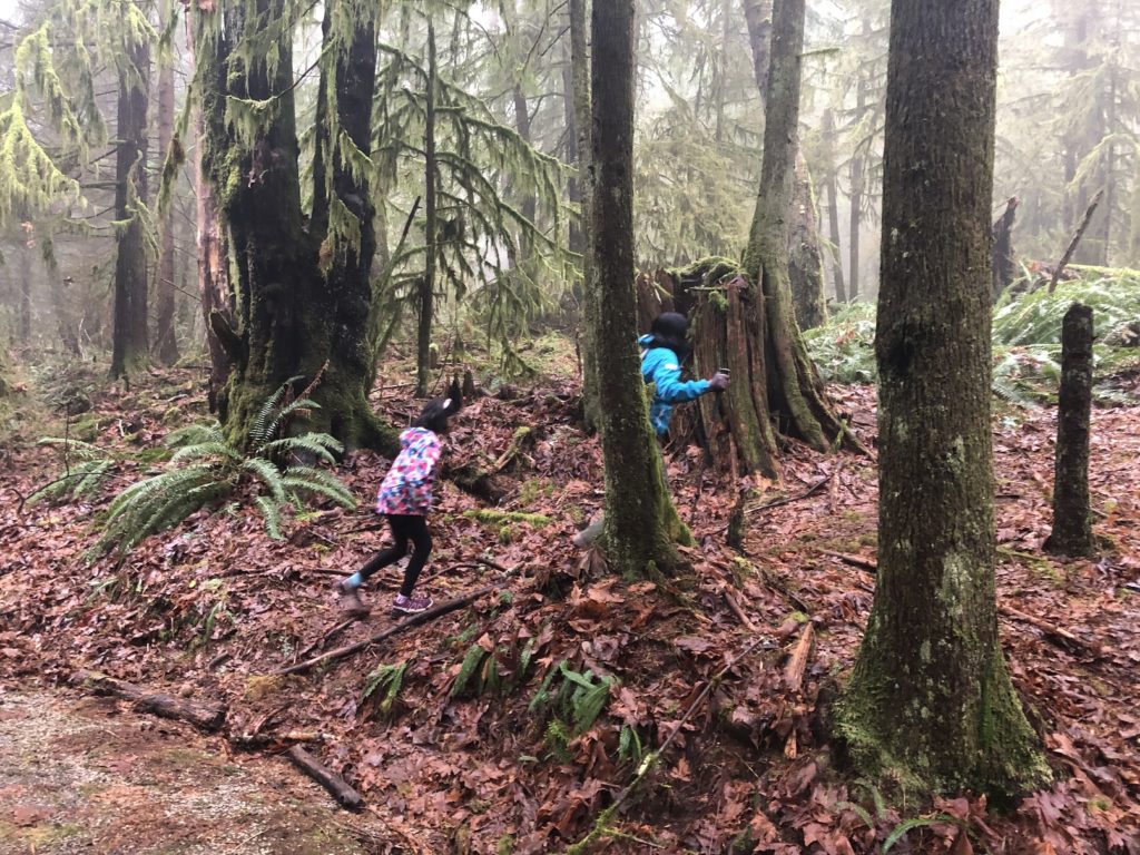
This trail, unlike other trails in the park, was unique. It was rugged, and we didn’t see other hikers for a long time. The terrain kept the hike interesting. There were no signs to Belcarra Bluffs/viewpoint, so we continued to rely on GAIA Maps to stay on track.
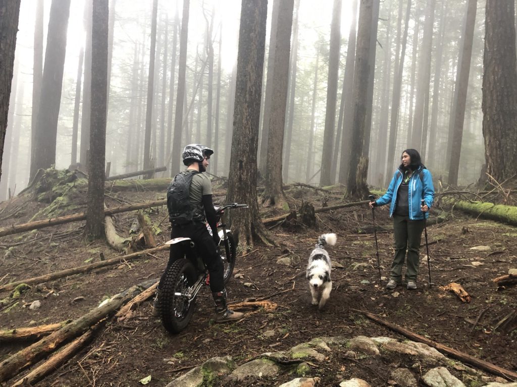
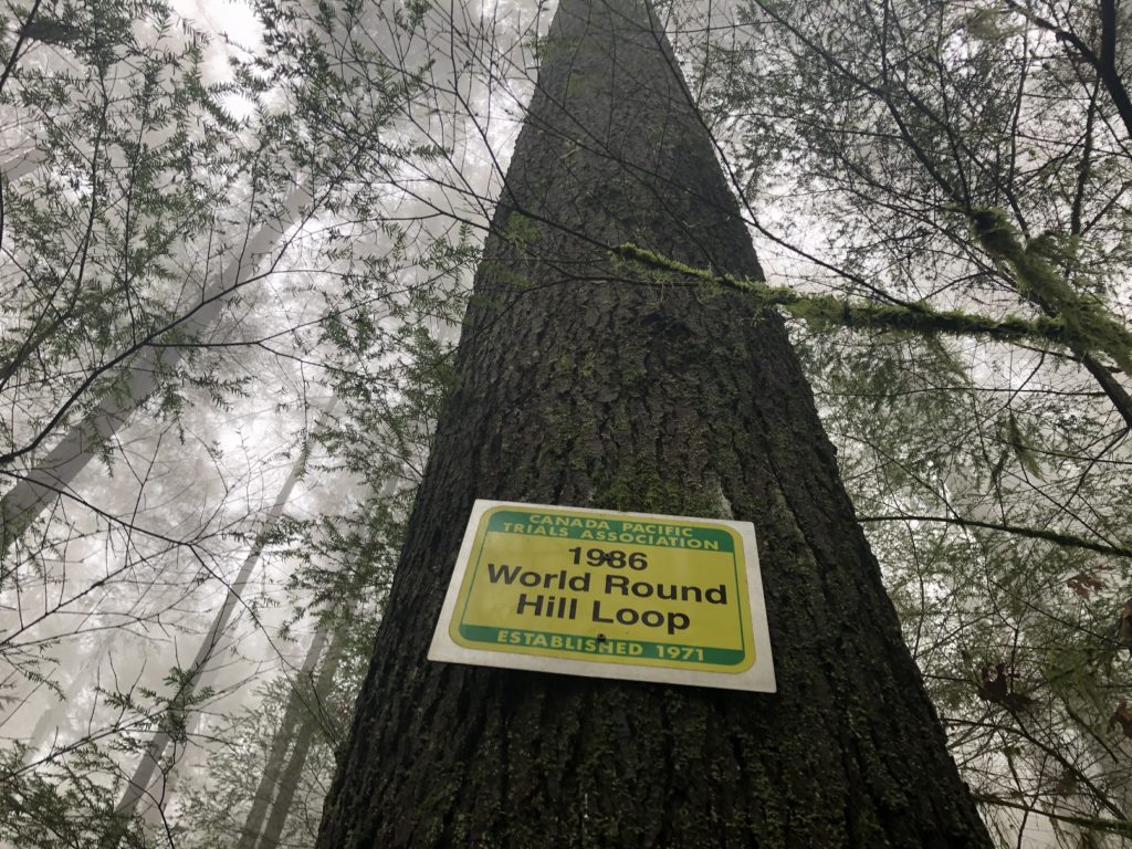
Canada Pacific Trials Association (CPTA) has maintained these trails for the last fifty years. We met a rider and his dog and briefly chatted about trial bikes. His trial bike had a fuel tank capacity of 5L and would be enough for a full day of adventure. Later, I read about an ongoing dispute between Metro Vancouver Park and CPTA. I hope that the parties find a solution that works for everyone.
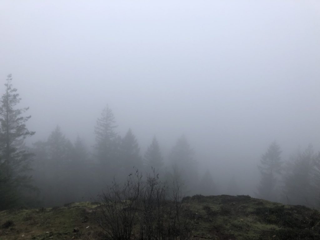
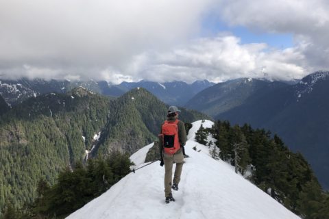
About an hour into the hike, we reached Belcarra Bluffs. But it was foggy, and we couldn’t see much beyond the bluffs. Nevertheless, Kavya was still in good spirits as we had a quick snack break, and she knew it was all downhill from here. Almost.
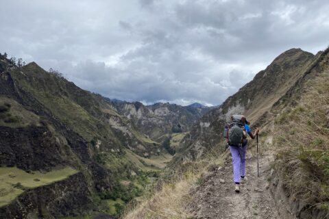
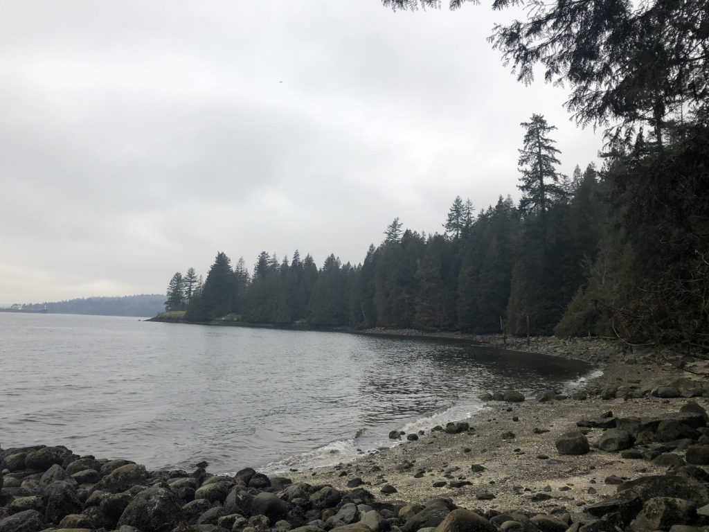
Admiralty Point
We still had time and energy, so we continued the hike and decided to do the entire loop described in the Outdoor Vancouver trail guide.
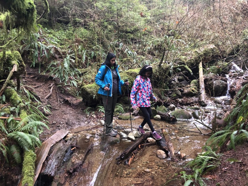
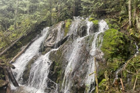
As we made our way to Burns Point, we crossed a couple of trails (Irish Mud Dog and Bridge 10 Years After) marked by CPTA. We also crossed a couple of creeks, and I found this hike section most interesting.
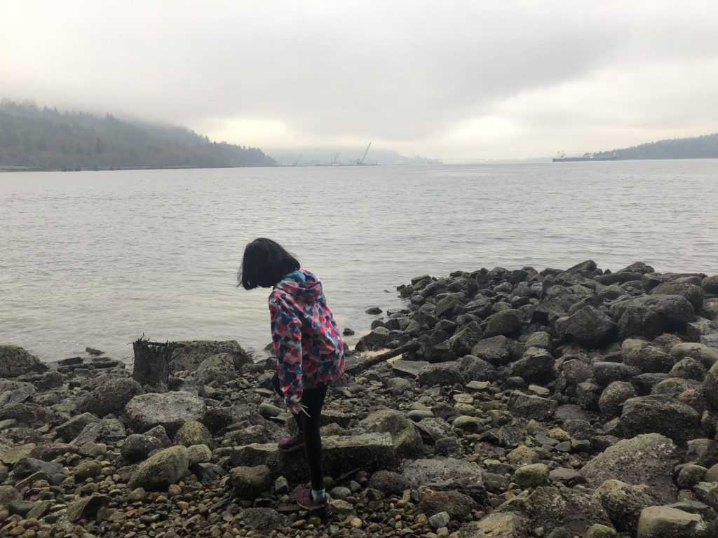
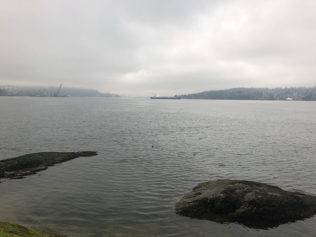
We were on the established trail to Burns Point about two hours into the hike. However, given the time and weather, we didn’t go to the actual viewpoint and continued our hike back to the parking lot. On our way, we made quick stops at Whisteshell Bank and Admiralty Point.
It was an easy hike back to the picnic area, and it took us about two hours and forty-five minutes to complete the 7.4 km hike with about 423 m vertical. The views were not great, but we had a good family hike.
Resources:
First Nations: Tselil-Waututh Website | Native-Land.ca
Park Information: Metro Vancouver
Disclosure: The links I have shared in the post and under the Resources section are not affiliate links.
Did you enjoy reading this post? Please subscribe to get weekly updates. Please share your feedback in the comments section below. Thank you!