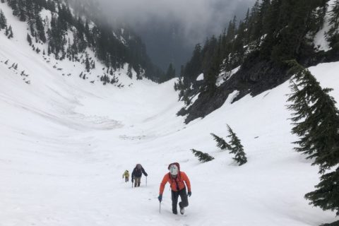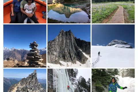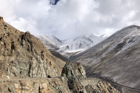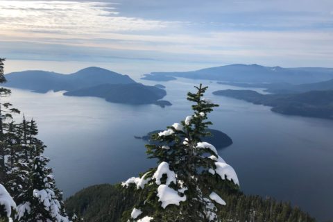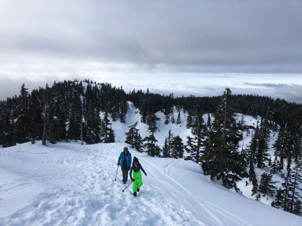
Last year, we did a family hike to Eagle Bluffs in Cypress Provincial Park and had walked past the Black Mountain summit trail. Since then, I had thought about hiking to the North and South summit of Black Mountain. Finally, last weekend we had a short weather window and decided to do this hike with Kavya and Kasturi. After the Hollyburn hike, I knew snowshoeing on Black Mountain would be relatively easier.
Parking at Cypress Mountain
Since December, Cypress has implemented pay parking, and currently, the parking fee is $10 (except lot 1A) for the day. Parking at lot 3B is free, but then it is a one km hike up the road to the trailhead on Cypress Mountain.
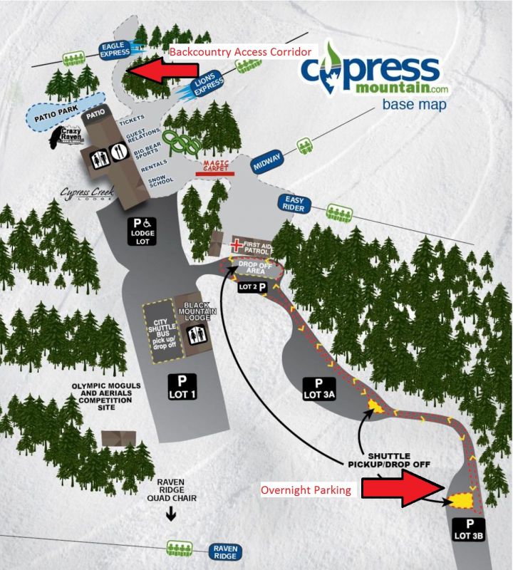
For Saturday, March 27, the forecast was cloudy till 11 am, followed by light snow/rain for the rest of the day. In Vancouver spring, I will take that. Given the weather conditions, we had an early start for a family hike and reached Cypress Mountain around 7:30 am. We parked next to Black Mountain Lodge in parking lot 1B.
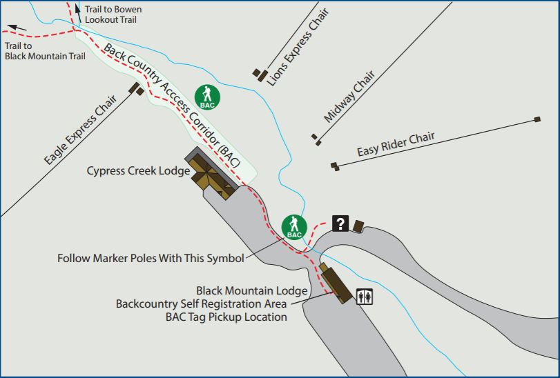
Right next to the washrooms, there is a Backcountry Self Registration Area where you can pay for parking and pick up the Backcountry Access Corridor (BAC) tag. This BAC tag is required for everyone who needs to access Bowen Lookout or Black Mountain trails. BAC tag is not needed for the Hollyburn Mountain hike.
Black Mountain Trail
Black Mountain is a popular hike, and based on our experience on Hollyburn, we decided to just go with microspikes. After crossing the Backcountry Access Corridor, we were in the backcountry area of Cypress Provincial Park. The trailhead is next to the Eagle Express chairlift.
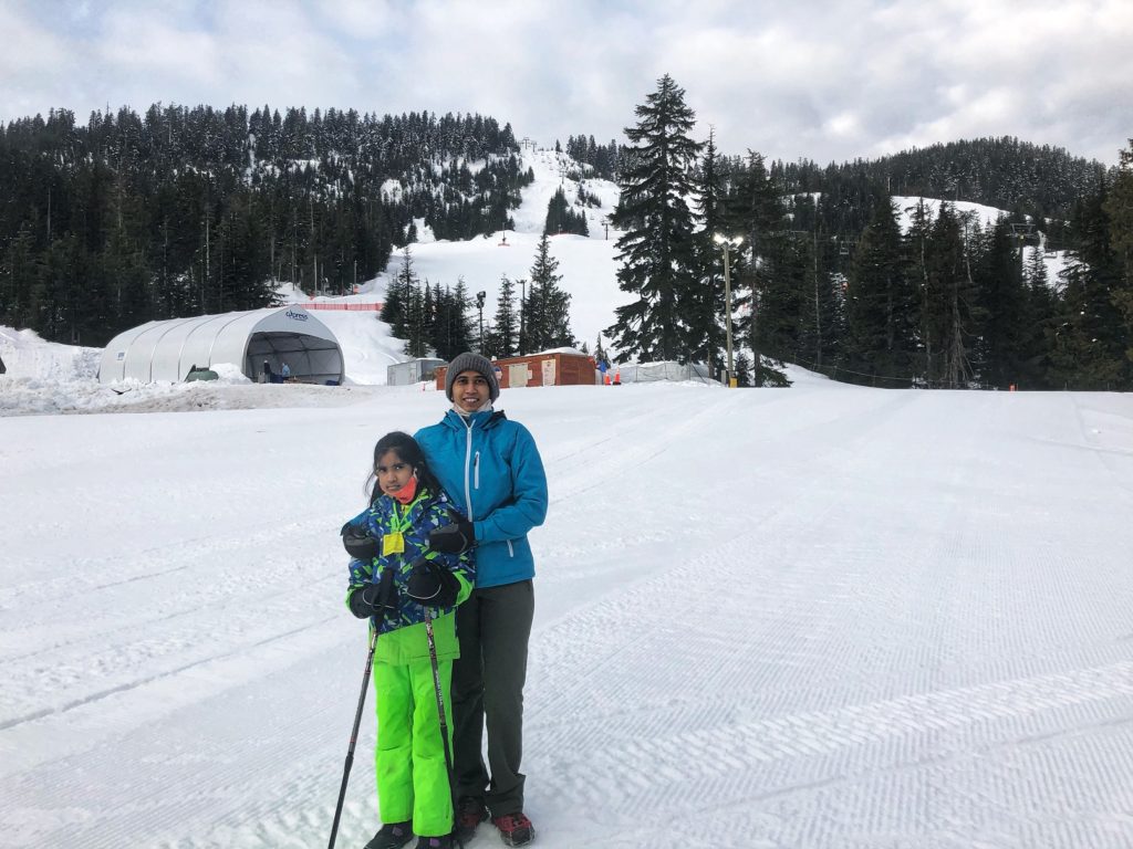
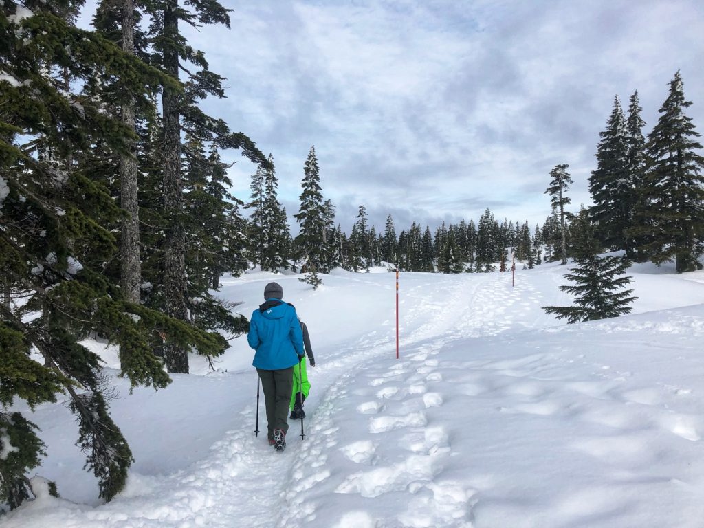
Soon we were at a junction, and we took a left to continue on the Black Mountain trail.


The trail was icy, and microspikes were helpful. Compared to summer, I found the terrain was much easier on the legs (more even).
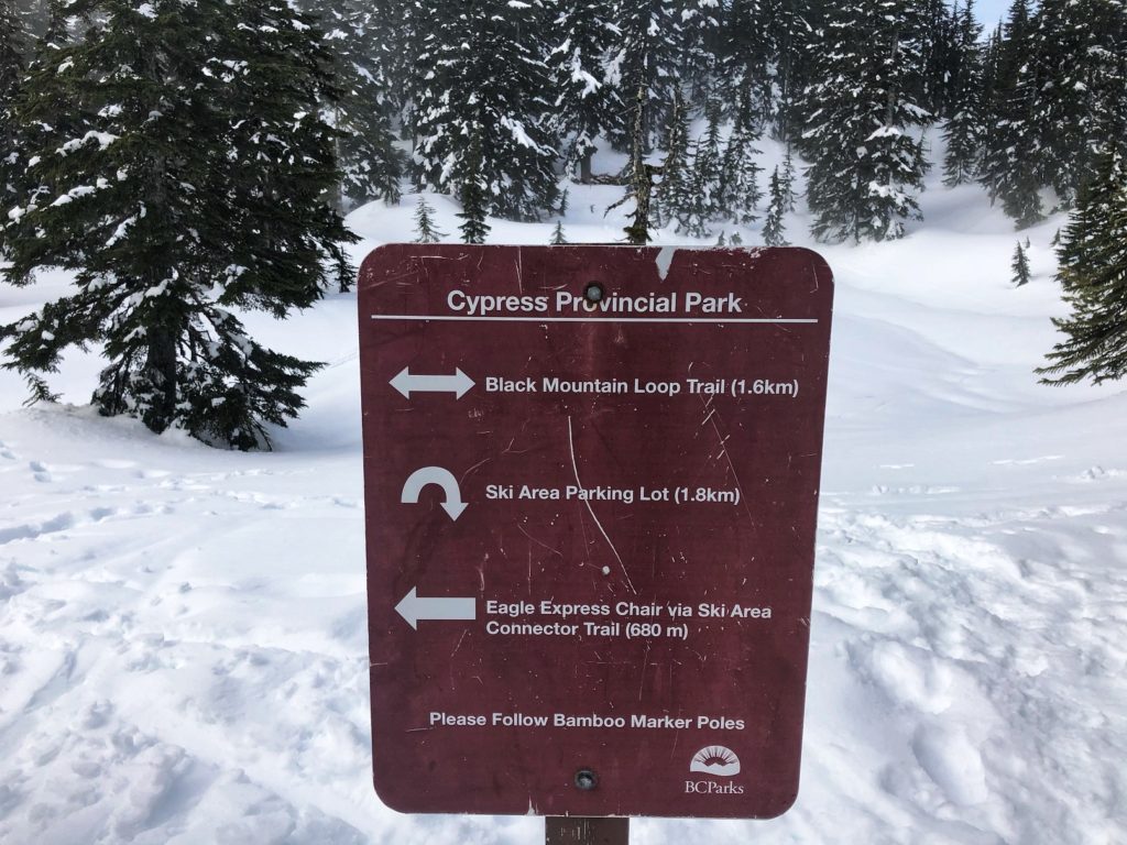
After an hour and ten minutes, we arrived at the Black Mountain Loop trail sign. From the trailhead, it was about 1.8 km with around 270 m elevation gain. From here, we continued west beyond the trail sign towards South Summit. Soon we came across an unmarked junction with trails going to North Summit and South Summit.
North Summit
In GAIA Maps, it showed North Summit was pretty close, and it was a relatively flat hike from the junction. So we took the trail, going North (right), and it took us about ten minutes to reach the North Summit.
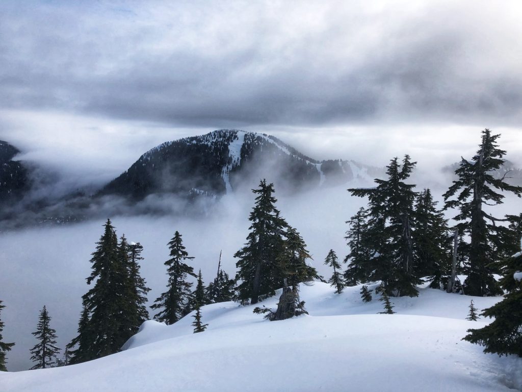
Visibility was limited, but we had a great view of Mount Strachan.
South Summit
After a brief break, we made our way back to the junction and continued our hike to the South Summit. By the time we reached the South Summit, the fog had rolled in, and we had no views.
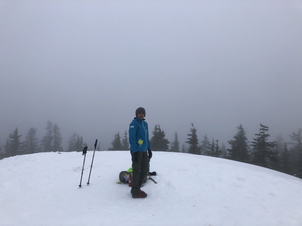
Kavya was tired by now but felt better after having some snacks. Given the visibility and weather conditions, we decided to head back down the same way we came up instead of doing the Black Mountain Loop.
The Fun Part
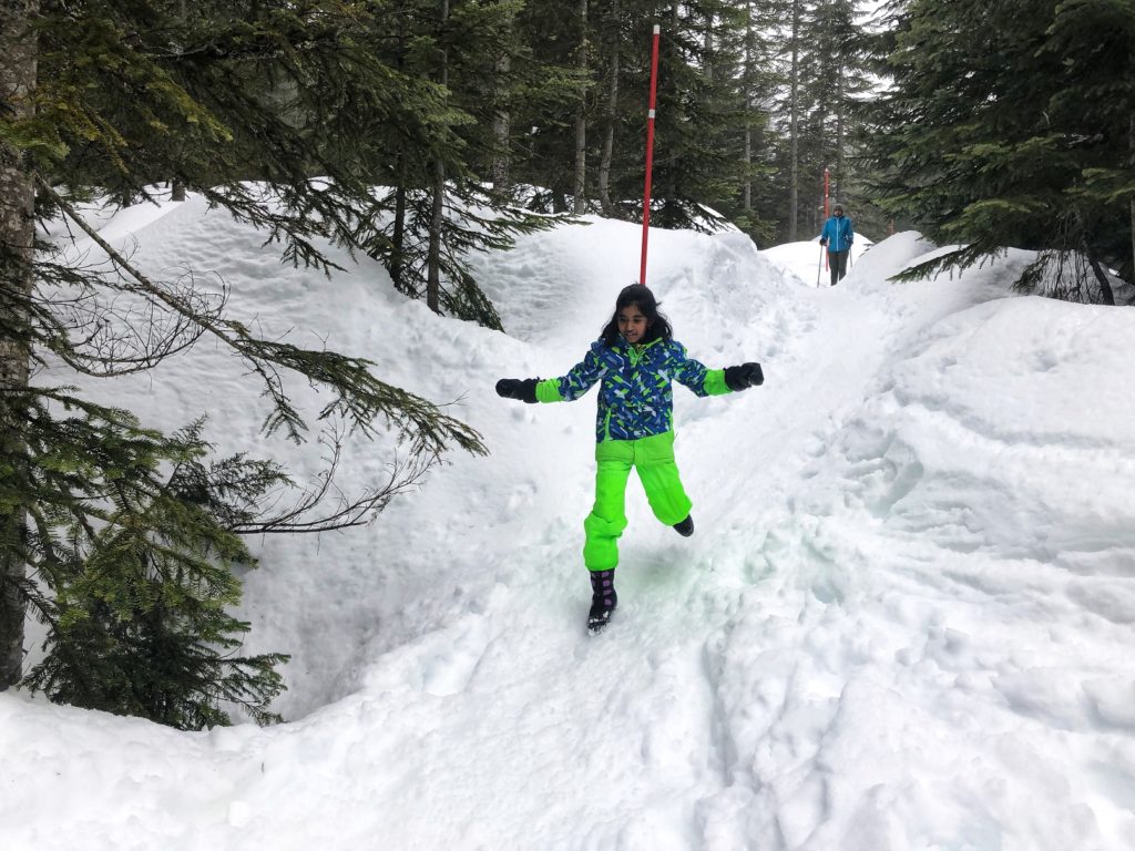
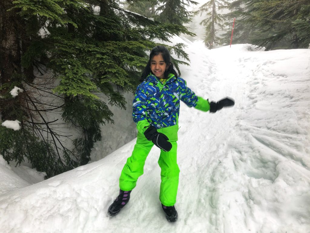
Kavya was in a much better mood coming down. Our discussion about going to Cora for brunch, combined with the opportunity to slide on the way down, might have contributed to her increased energy levels.
It took us about forty minutes to get back to the parking lot. I recorded this trip on my Coros watch as well as FATMAP. Although I started and stopped tracking at the same spot for both, there is some difference in distance/elevation gain. Overall the hike was less than 5 km with about 300+ m elevation gain/loss.


Resources:
Trail Guide: Outdoor Vancouver
Cypress Provincial Park: BC Parks Website
Disclosure: I am not affiliated with any of the above individuals or organizations.
Did you enjoy reading this post? Please subscribe to get weekly updates. Thank you!
