Last Friday, we were supposed to head out for our backcountry camping trip to Elfin Lakes after lunch, but there was rain in the forecast, so we cancelled the plan. Later in the afternoon, Kasturi browsed for hikes in Metro Vancouver and suggested we do Big Cedar and Kennedy Falls.
Big Cedar and Kennedy Falls hike is in Lynn Headwaters Regional Park in North Vancouver. It took us about forty minutes to arrive at the Mountain Highway parking closest to the trailhead.
Roadside Attraction – Cedar Tree Trail
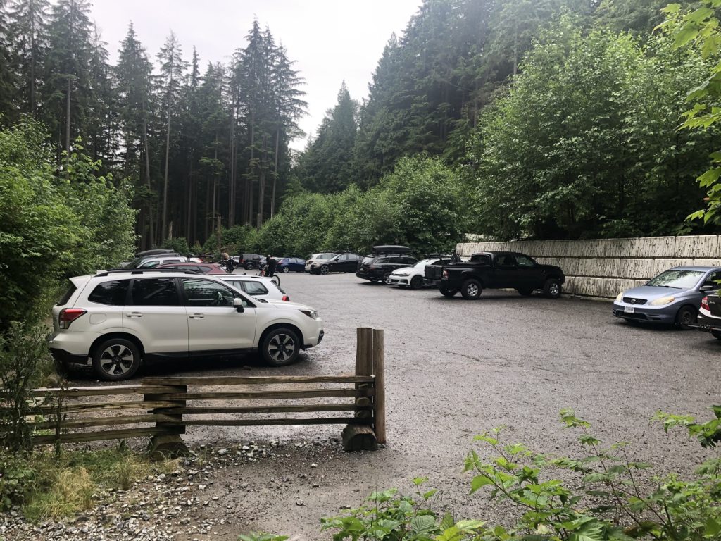
After parking, we returned to the Mountain Highway road and hiked to the gate. Past the gate, we could have continued on the gravel road, but on the GAIA map, I saw a trail Roadside Attraction parallel to the road on the right.
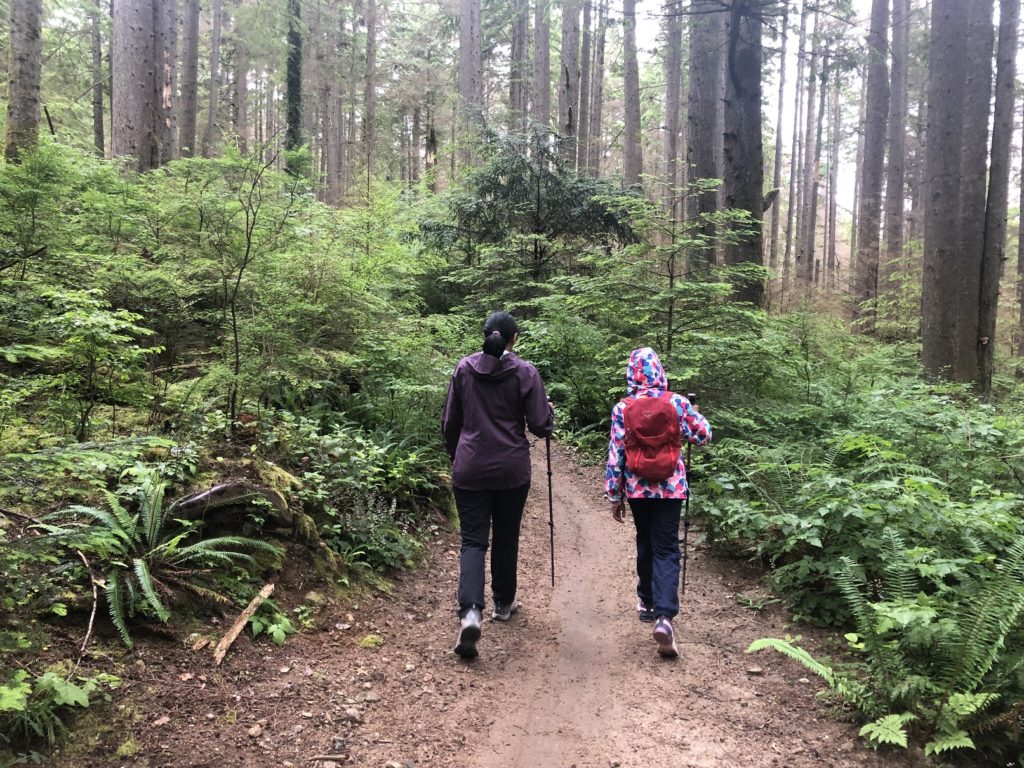
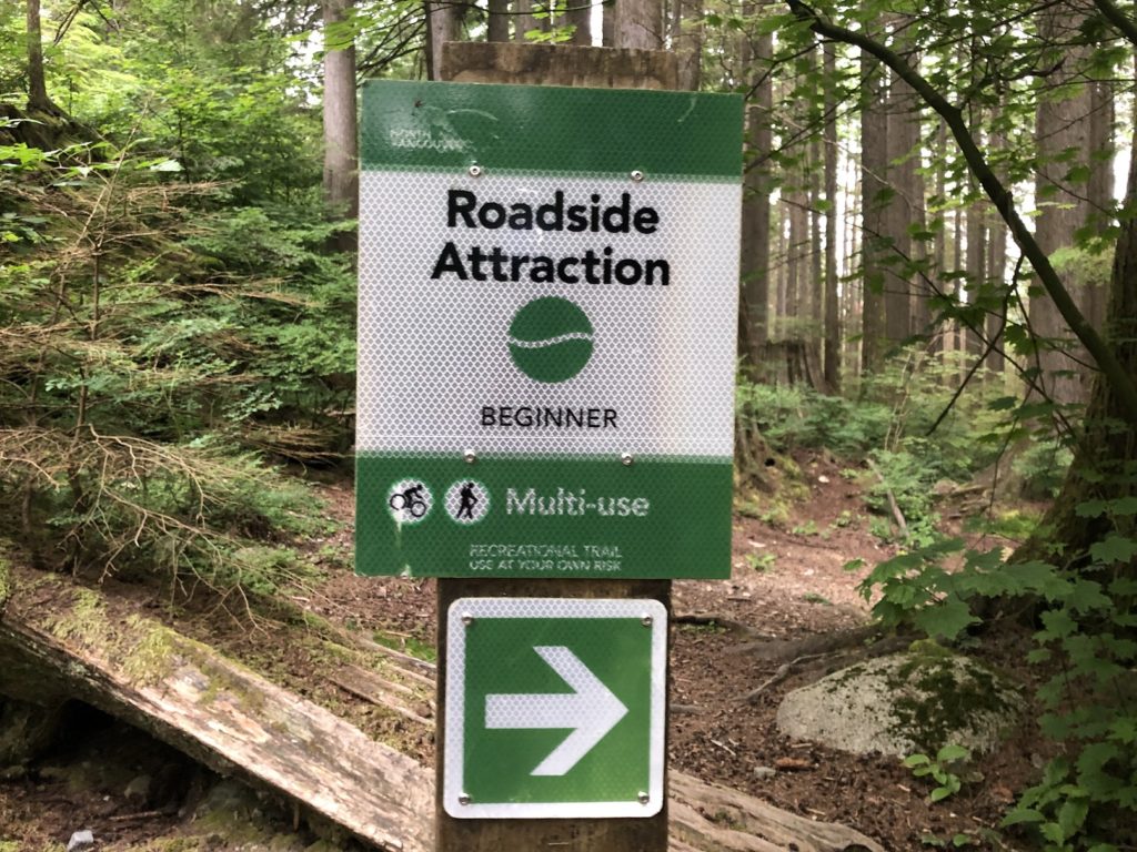
So we got on the Roadside Attraction trail and continued for about half a km until we arrived at a junction. From here, we continued straight on the Cedar Tree Trail.
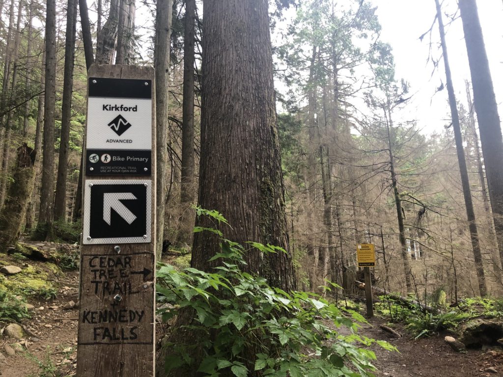
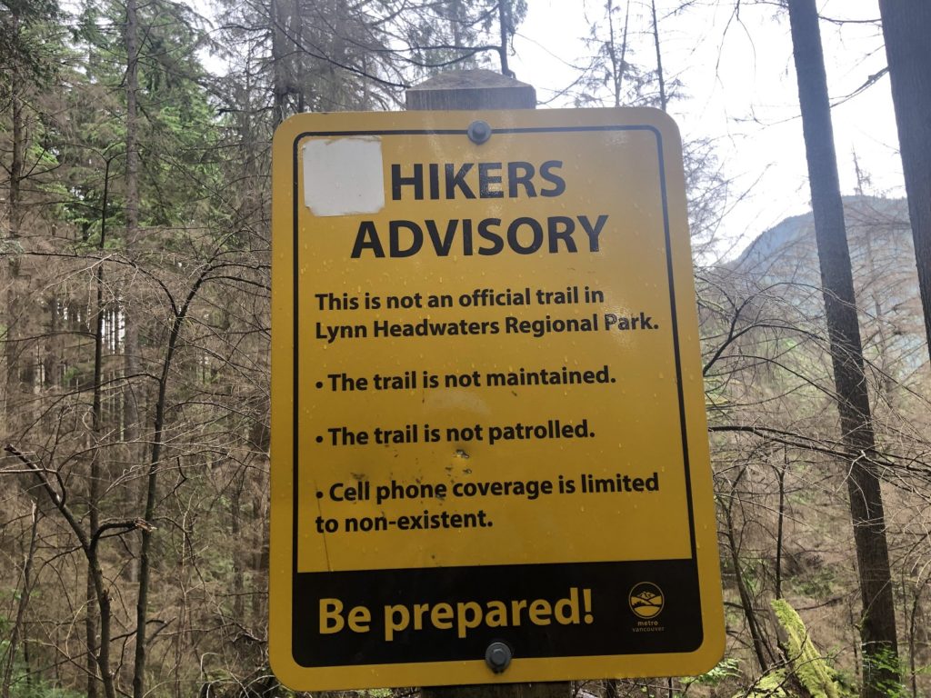
In less than half a km, we were at another junction. We continued on the Cedar Tree trail and saw the advisory that it was not an official/maintained trail. Knowing this, I had already downloaded the GPX tracks from Outdoor Vancouver.
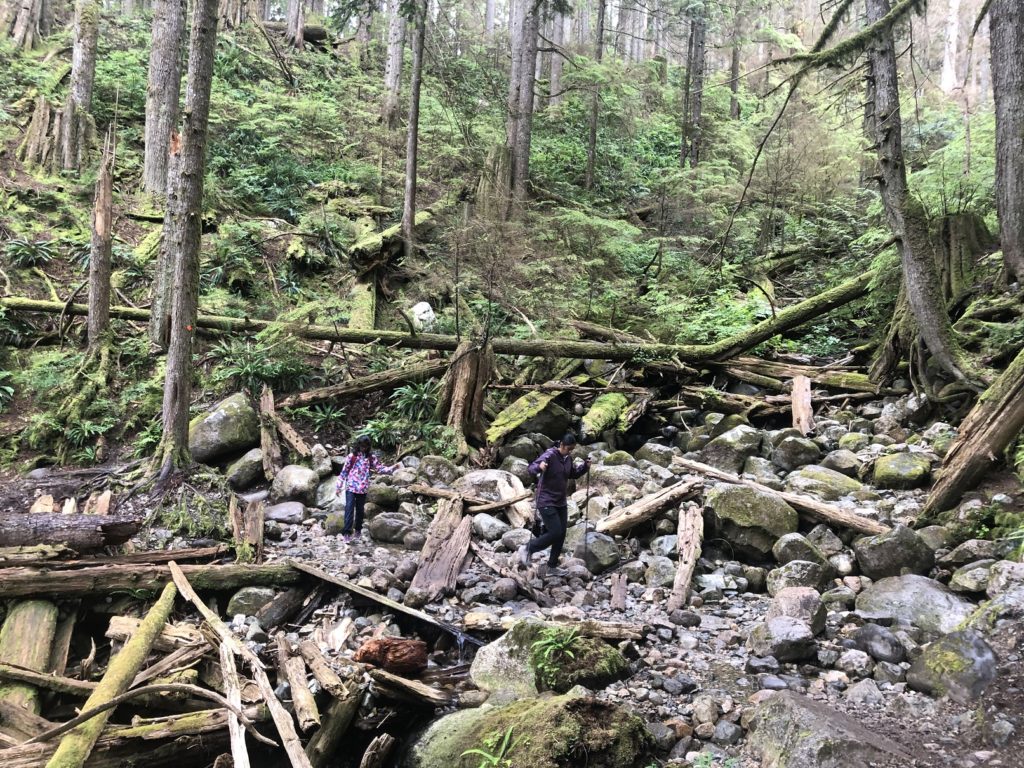
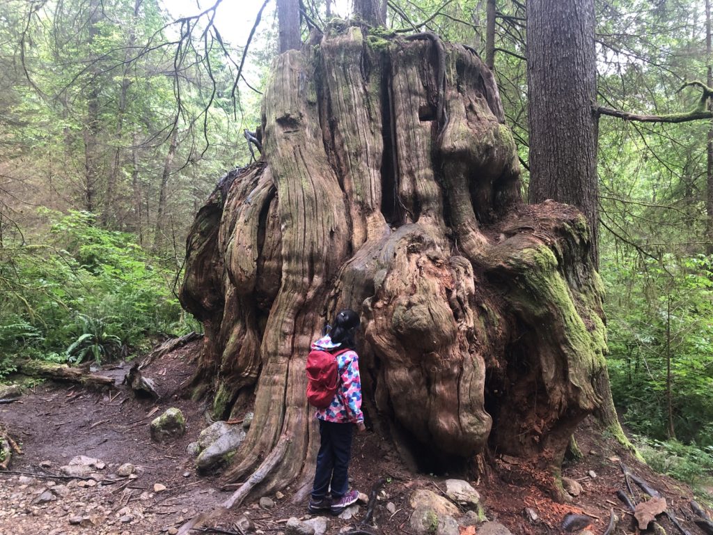
As we continued our hike, I was surprised to see a decent trail and regular orange trail markers on the trees. Many hikers used to get lost on this trail, so maybe in the last few years, Metro Vancouver has done some work on this trail and put up the trail signs.
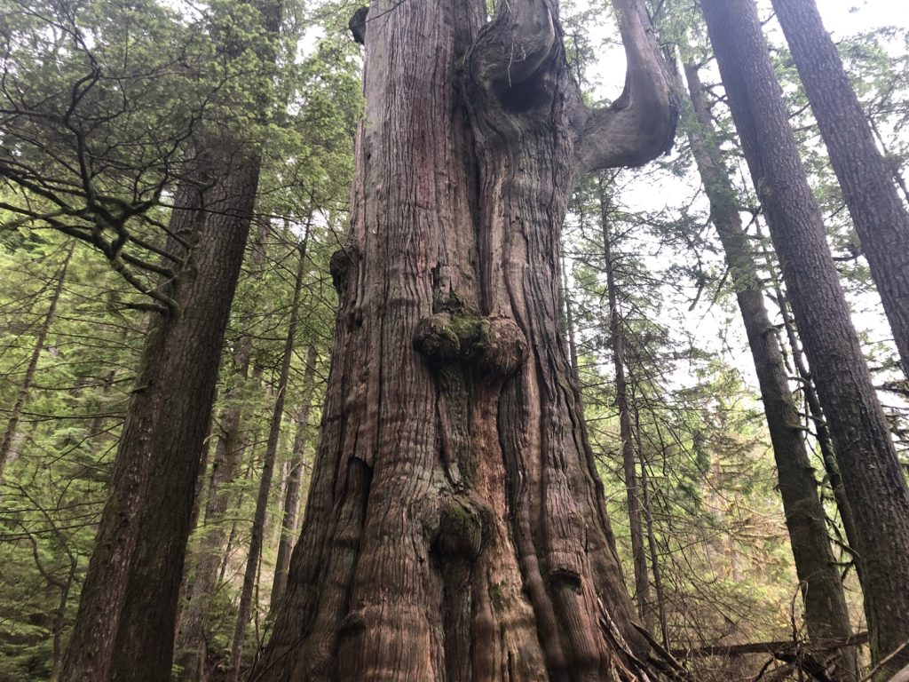
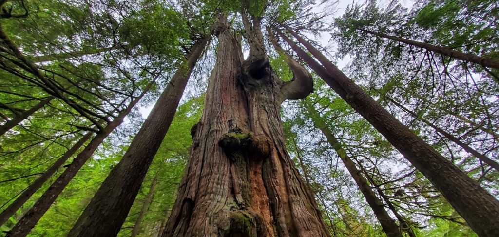
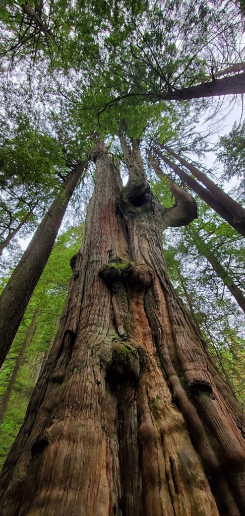
We arrived at the Big Cedar tree about an hour and 20 minutes into the hike. It is 600+ years old and 4 m wide. It is massive. Thankfully, there is now a fence around the tree to protect against soil erosion.
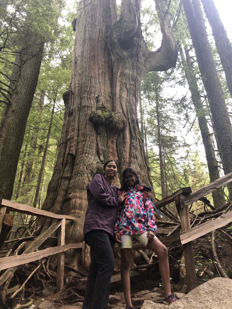
Some more pictures of the Big Cedar from Kasturi’s phone –
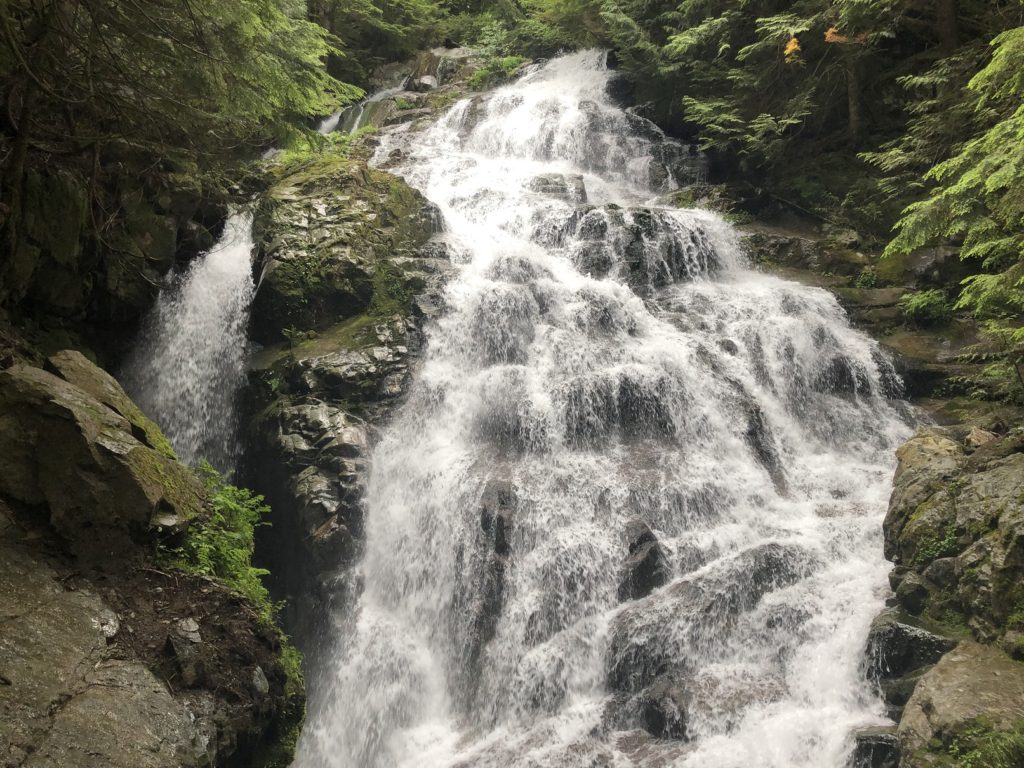
Kennedy Falls
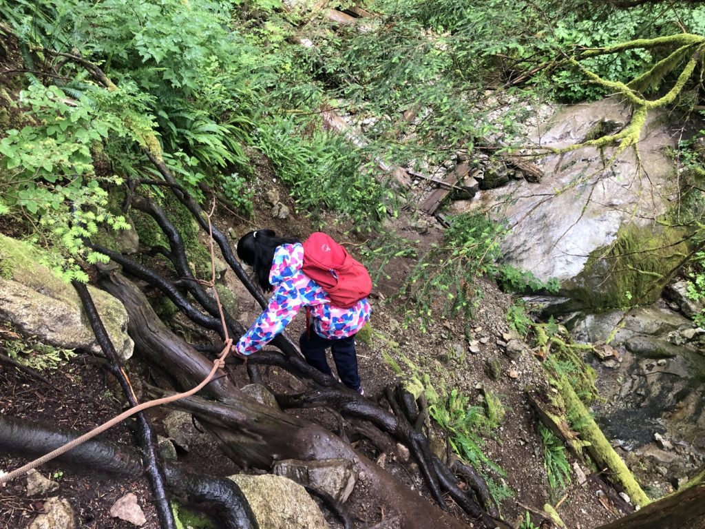
After a short break, we continued our hike on the trail, going on the left side and behind the tree. From here, the trail to Kennedy Falls is a bit steeper compared to the first half of the trail. The trail is rugged but easy to follow.
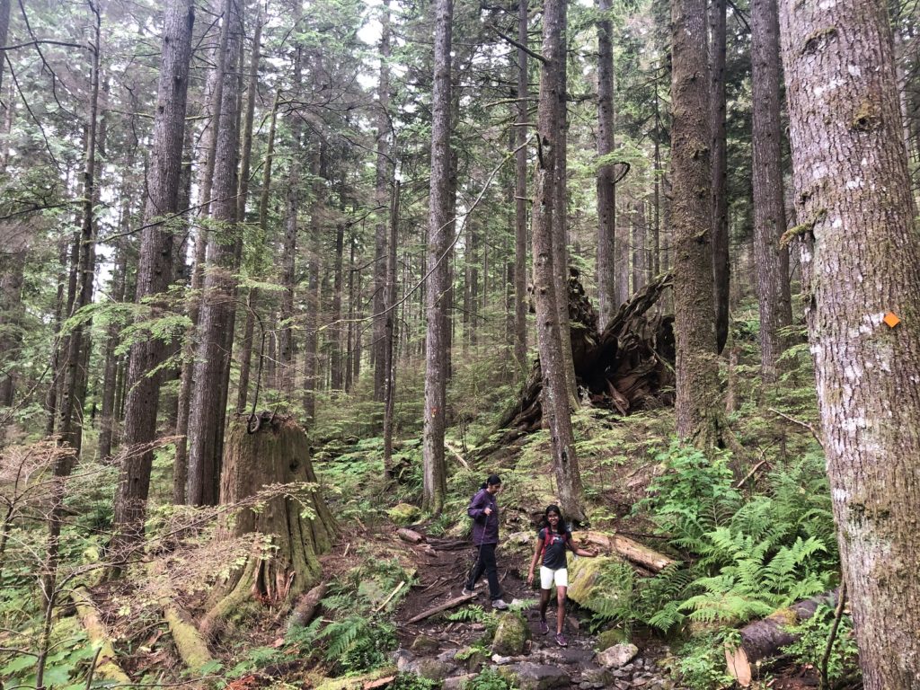
It took us another hour from the Big Cedar tree to arrive at Kennedy Falls.
After a short break, we started our hike back and realized why people get lost here as there were several unmarked trails off the main trail. A couple of times, I checked the route on GAIA to ensure we were on the right trail.
It was close to 8 pm when we got back to the parking lot. It was a 10 km hike out and back with close to 472 m vertical. The terrain makes it challenging, and it took us almost four and a half hours to finish the hike.
Territory Acknowledgement
I would like to acknowledge that this trip took place on the unceded territory of the Coast Salish peoples, including the territories of the xʷməθkwəy̓əm (Musqueam), Skwxwú7mesh (Squamish), Stó:lō (staw-low) and Səl̓ílwətaʔ/Selilwitulh (Tsleil-Waututh) Nations. I commit to learning about Indigenous peoples and issues and making reconciliation an ongoing effort.
Source: Native-Land
Pronunciation Guide: First Nations.info, A Guide to Pronunciation of BC First Nations
Resources:
First Nations Websites: Squamish | Musqueam | Tselil-Waututh | Stó:lō
North Vancouver Logging History: Monova Virtual Exhibit
Trail Guide: Outdoor Vancouver | Vancouver Trails
Lynn Headwaters Park: Map
Disclosure: The links I have shared in the post and under the Resources section are not affiliate links.
Did you enjoy reading this post? Please subscribe to get weekly updates. Please share your feedback in the comments section below. Thank you!
