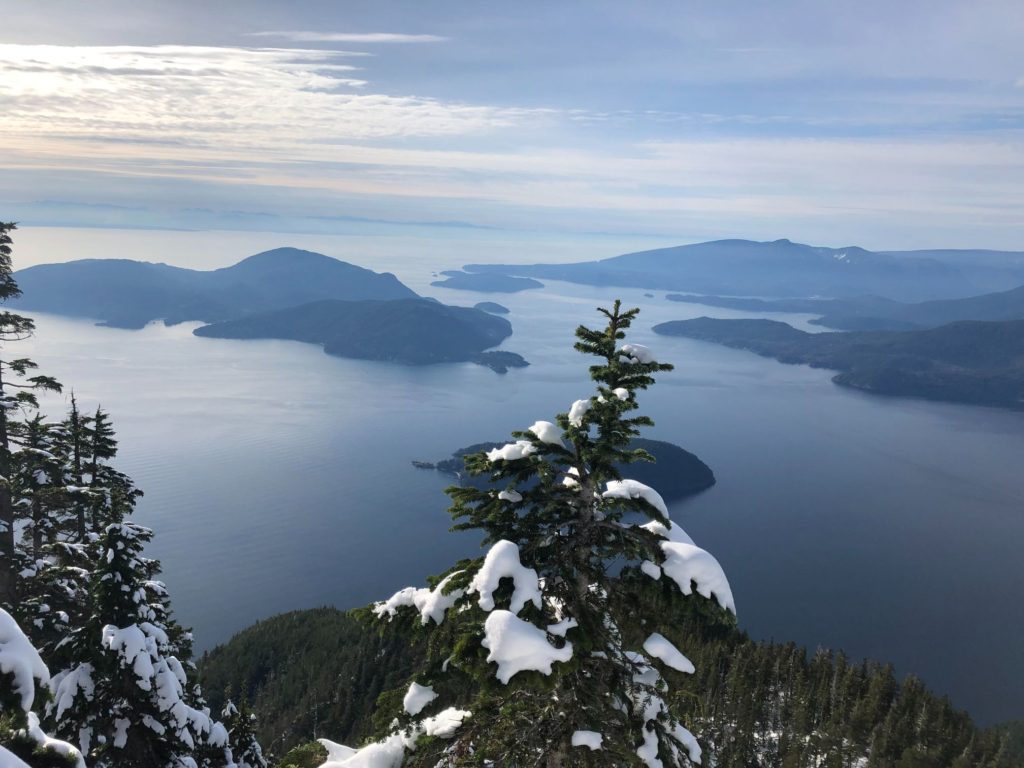
The plan was to do a family hike to St. Mark’s Summit on October 25. As a moderate 11 km hike, it seemed doable. But, recent snowfall and low temperatures made the trail icy and tricky. Kavya doesn’t have any traction device yet for her boots, so I ended up going alone.
The weather forecast was for a cloudy morning and a sunny afternoon. So, I left for Cypress mountain after lunch. Last time, I was at Cypress for the Eagle Bluffs hike with family. We had parked outside the gate as we had a late start and won’t be back before the gate closed at 6 pm.
This time, I parked closer to the lodge as I expected to be back before 5:30 pm. Cypress had received 14 cm of snow in the last two days, and there was snow on the trail right from the lodge. The trail was icy, so I put on my Ice Trekker spikes. I would be carrying around 29 lb in my backpack as part of my training.
Howe Sound Crest Trail (HSCT)
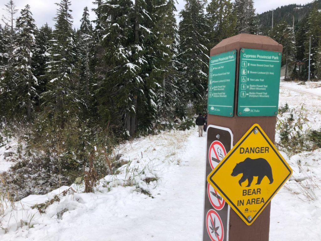
St. Mark’s Summit is along the HSCT. At 29 km and connecting several North Shore Mountains, it is a stunning hike. I had seen people on this trail when I did Brunswick and West Lion hike earlier this year. Hopefully, I can hike the HSCT next year.
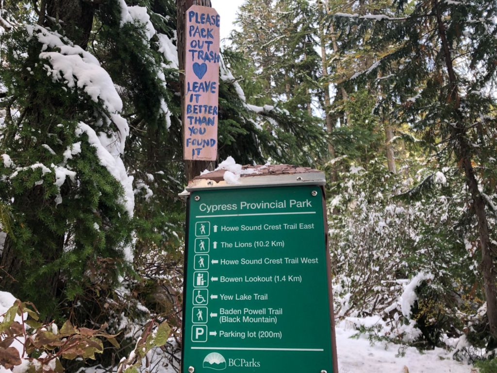
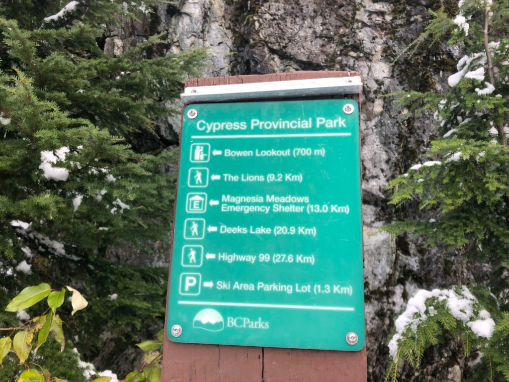
Just a minute into the hike, you will see a sign for trails going left to Bowen Lookout/HSCT West) and right to HSCT East. I followed the trail to the right as I planned to go to Bowen Lookout on my way back if I still had time.
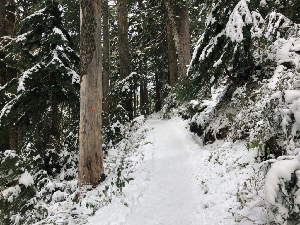
The trail is well marked with orange markers and trail signs at regular intervals.
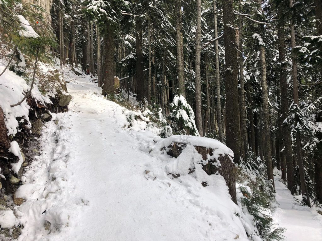
Around fifty minutes into the hike, I came across a section of switchbacks. After 10 minutes of steep hiking, the trail flattens out a bit.
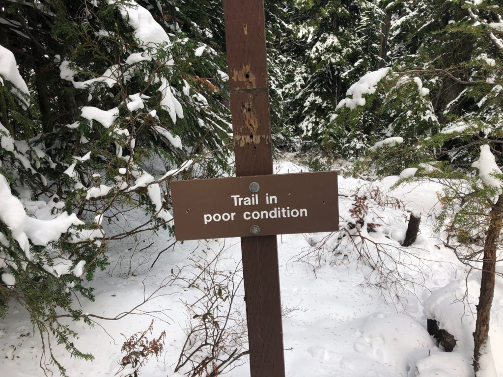
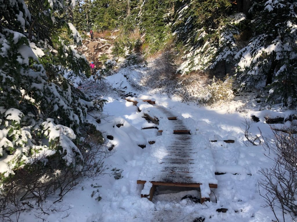
After the above sign, the trail drops for the next 10 minutes. Roughly 4 km in, it gets steep, and this section is relatively more difficult. The ice on the trail made it even more challenging, especially for people coming down without any traction devices.
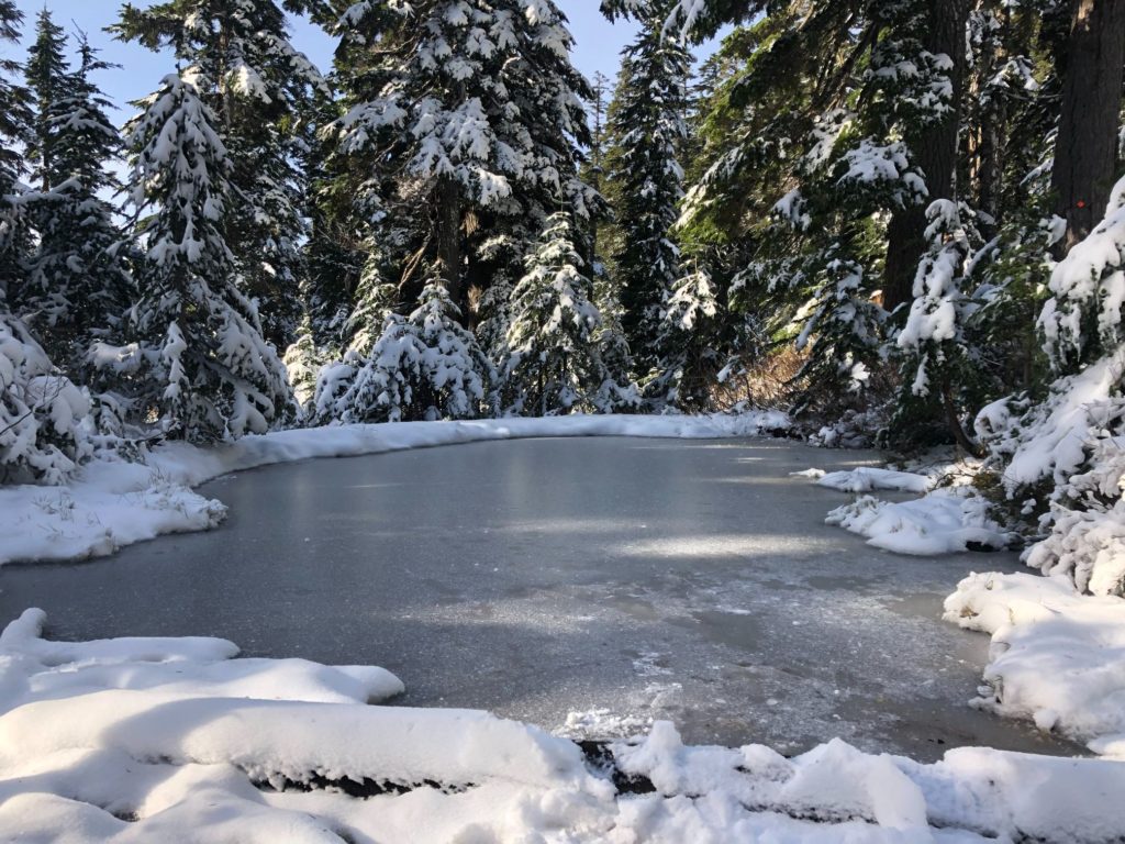
Further ahead, just before the wooden footbridge, the pond was frozen.
St. Mark’s Summit
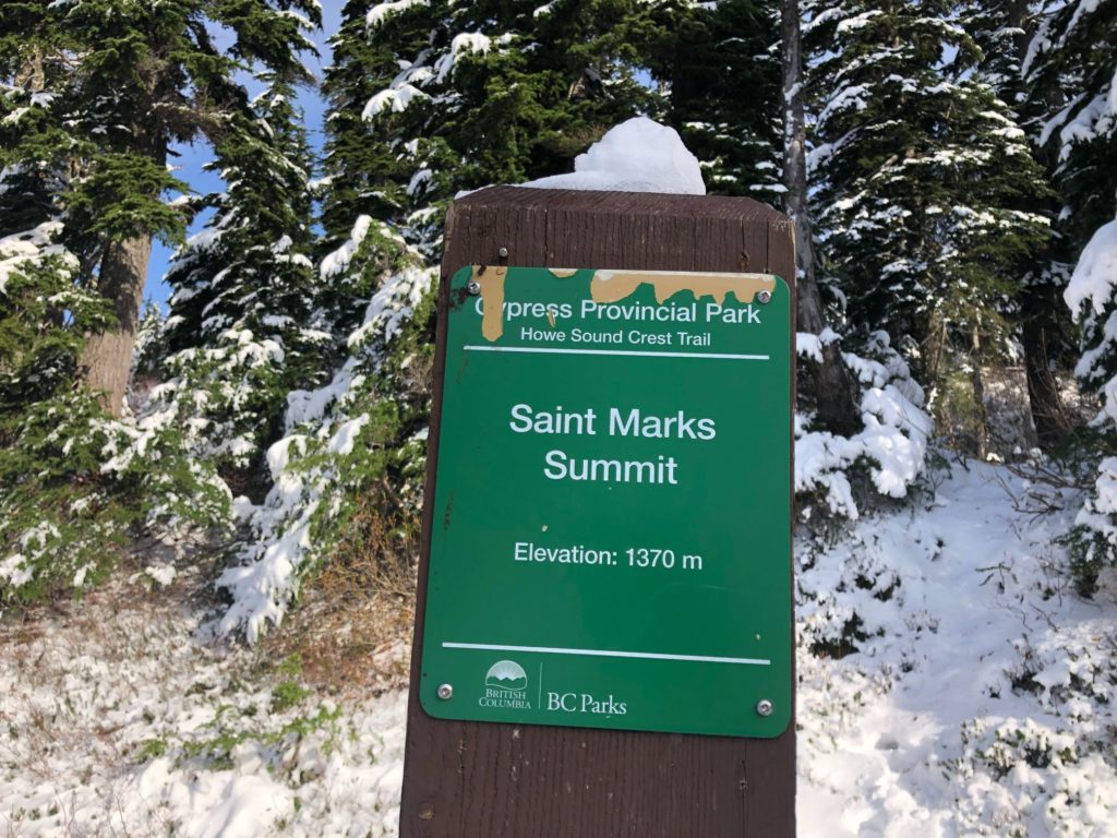
After one and a half hours of hiking, I was at St. Mark’s Summit. The viewpoint is just a short walk up on the left.
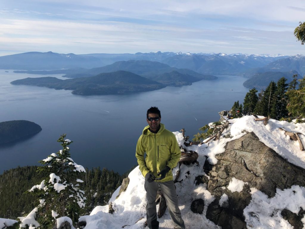
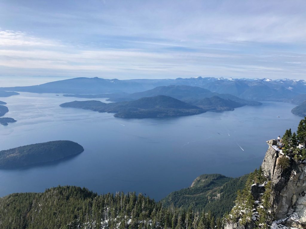
The late start paid off, and I had a stunning view of the Howe Sound and islands.
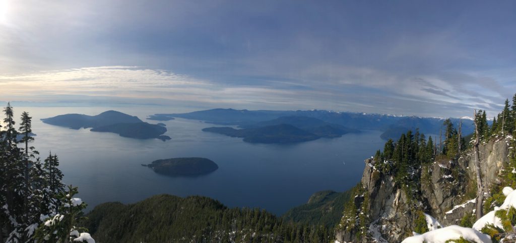
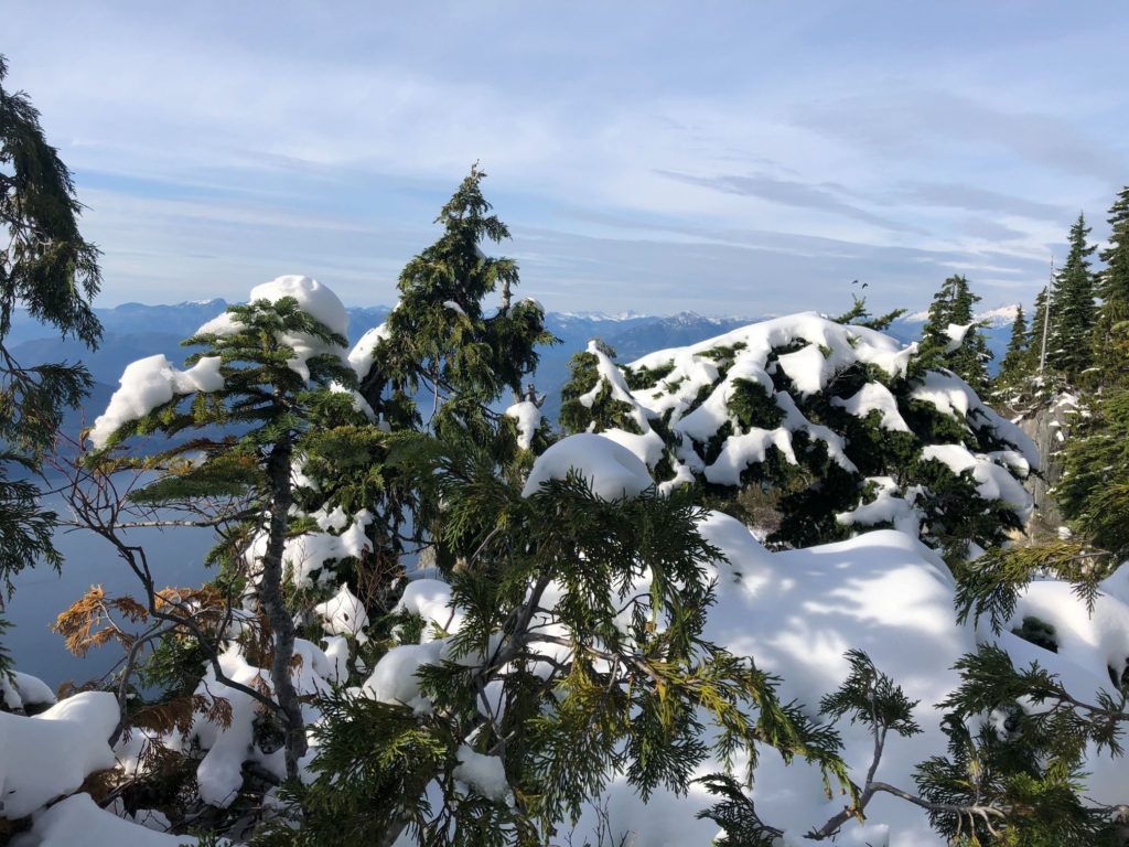
Few more pictures from the summit –
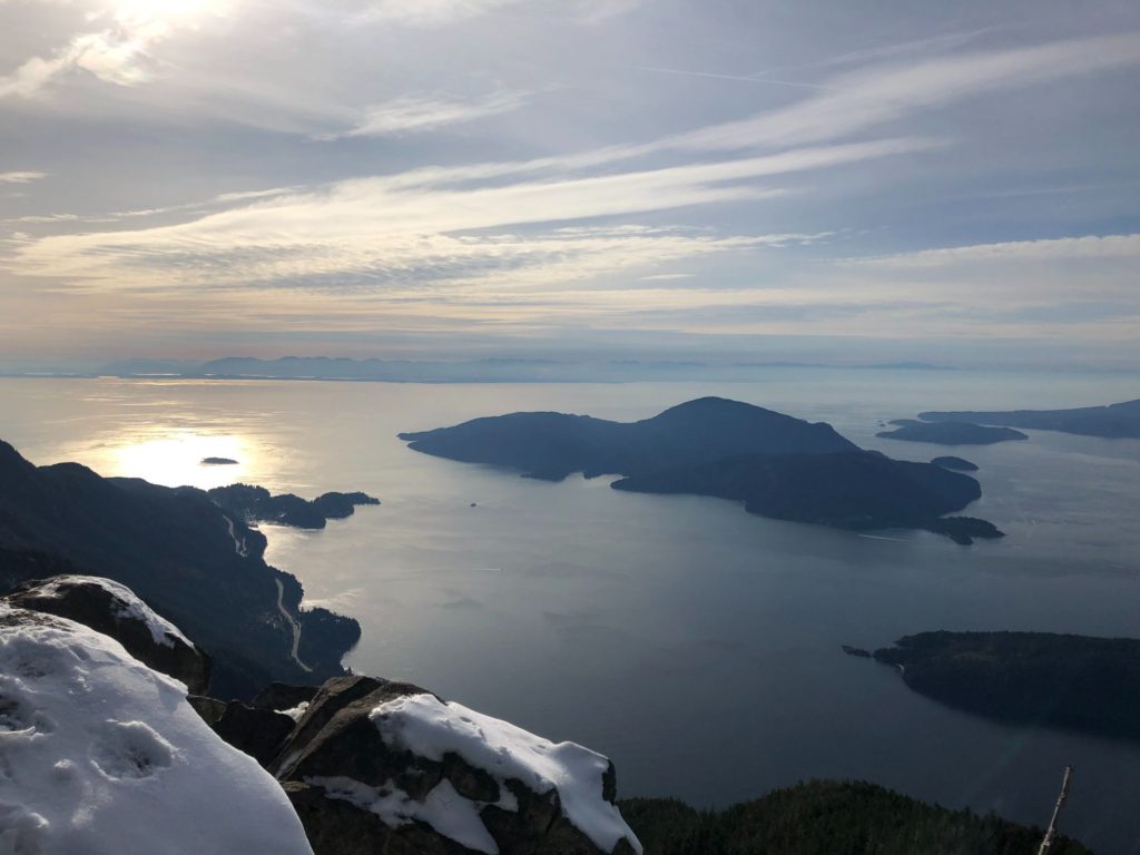
After a short break, I made my way to the rocky outcrop further ahead on the trail. A group had camped here, and I was curious to check out the view. It didn’t disappoint.
Fall In the City, Winter In the Mountains
Around 3:10 pm, I started my hike back to the parking lot. I passed people who were scooting down the steep sections of the trail. At times, people grabbed to roots and anything they could get hold of to avoid slipping on ice. It was funny and scary at the same time.


It was Fall in the city, but Winter in the mountains and most hikers were not prepared. I hoped everybody can make it back to the parking lot before it gets dark, and nobody needs to be rescued.
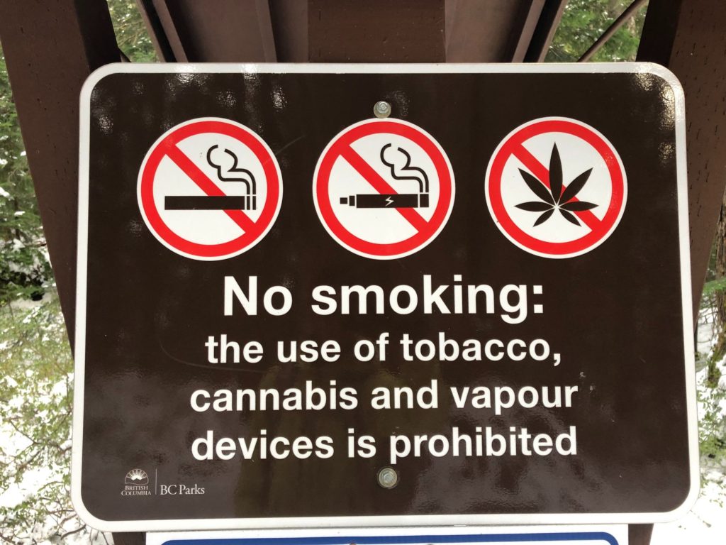
Most hikers respect the rules of the parks, but there are always some exceptions. One lady was smoking weed as she was making her way up the trail. She was trying to be discreet about it, but I could smell the weed even before I saw her. Getting high in the mountains is a bad idea. Read this blog from North Shore Search and Rescue for details.
Bowen Lookout
I followed the trail back to the junction of the HSCT West (from St. Mark’s Summit) and HSCT East (connecting Bowen lookout).
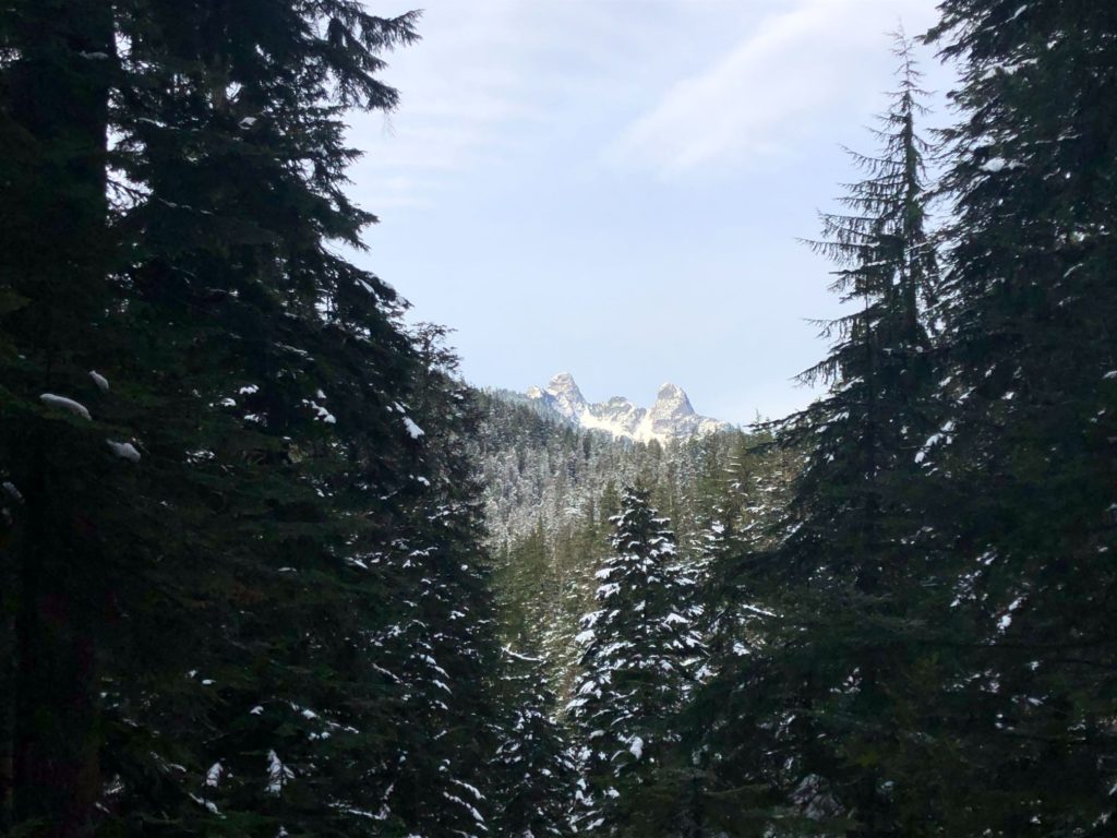
It had taken about an hour to get here from the summit, and I still had time. I took the HSCT East trail to check out the Bowen lookout.
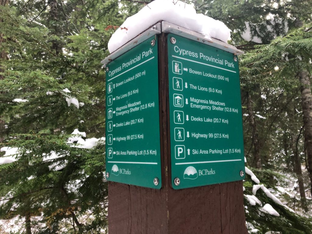
It didn’t take more than 10 minutes to get to the lookout.
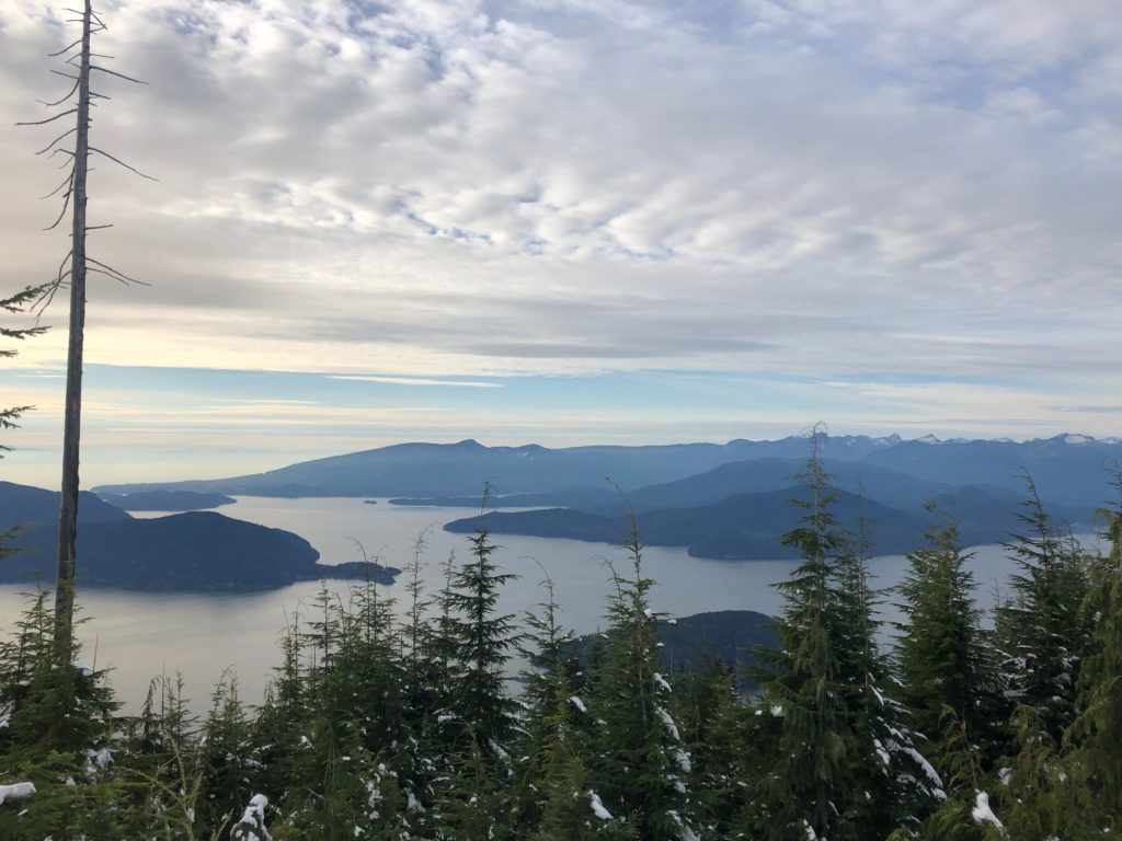
At just two km hike with minimal elevation gain from the trailhead, the Bowen lookout was quite popular. I might come back with Kasturi and Kavya for a short winter hike. It took another twenty-five minutes to get back to the lodge.
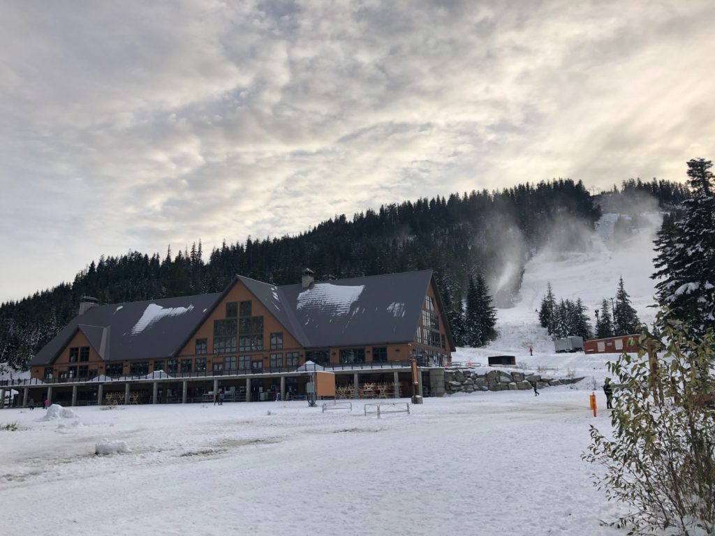
Snowmaking was in full swing on the slopes behind the lodge.
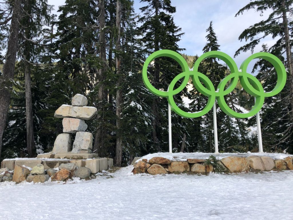
It took me about three and a half hours to complete St, Mark’s Summit hike via Bowen Lookout with a 29 lb backpack. It was a pretty good hike in winter conditions.
Do you have a trip plan?
If you were to get into trouble on a hike and need help, how will someone find you?
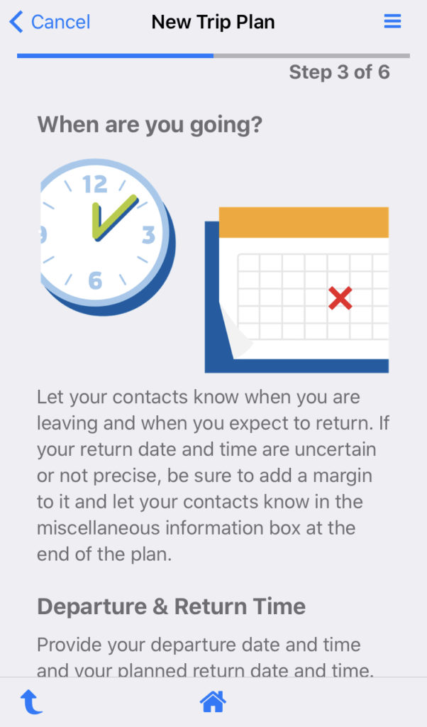
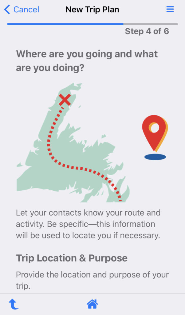
I usually share the hike name and expected return time with Kasturi. The local rescue efforts that I hear about daily and a recent book have convinced me to do more. For longer hikes, I will be preparing a trip plan using the free AdventureSmart app or web-based tool.
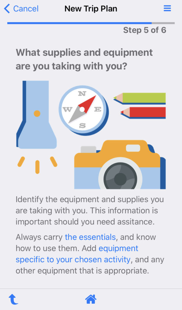
The app walks you through the four questions Who? When? Where? What? and helps you put together a plan that you can share with your emergency contact.
Also, check out this excellent article about tips for winter hiking.
Be prepared. Be safe. Don’t be a statistic. Happy Trails!
Resources:
St. Mark’s Summit Trail Guide with GPX: Outdoor Vancouver
Trip Plan – AdventureSmart
Cypress Provincial Park – BC Parks Website
Cypress Mountain – Resort Website
Disclosure: I am not affiliated with any of the above organizations.
Did you enjoy reading this post? Please subscribe to get weekly updates. Please share your feedback in the comments section below. Thank you!






[…] first hiked to St. Mark’s Summit in October 2020. Another time, I had done part of the hike when I went up Christmas Gully with […]