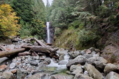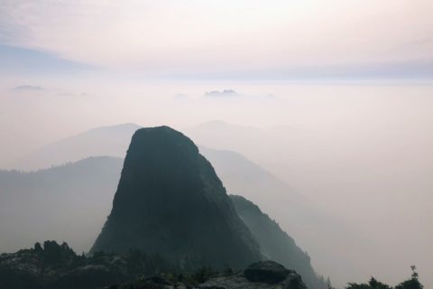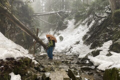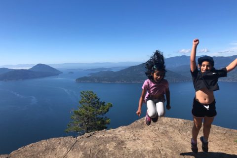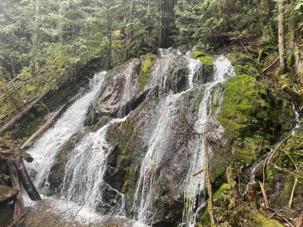
The last weekend in April was another rainy weekend. As we explored hiking options, Neha suggested the Mystery Falls hike—a 10.5 km loop with about 500 m of elevation gain.
Hyannis Trail
Bala, Kasturi and I carpooled and drove to the trailhead on Hyannis Drive. We were lucky to find a spot right at the trailhead. Neha and Abhi were already there and had parked along the Hyannis Drive.
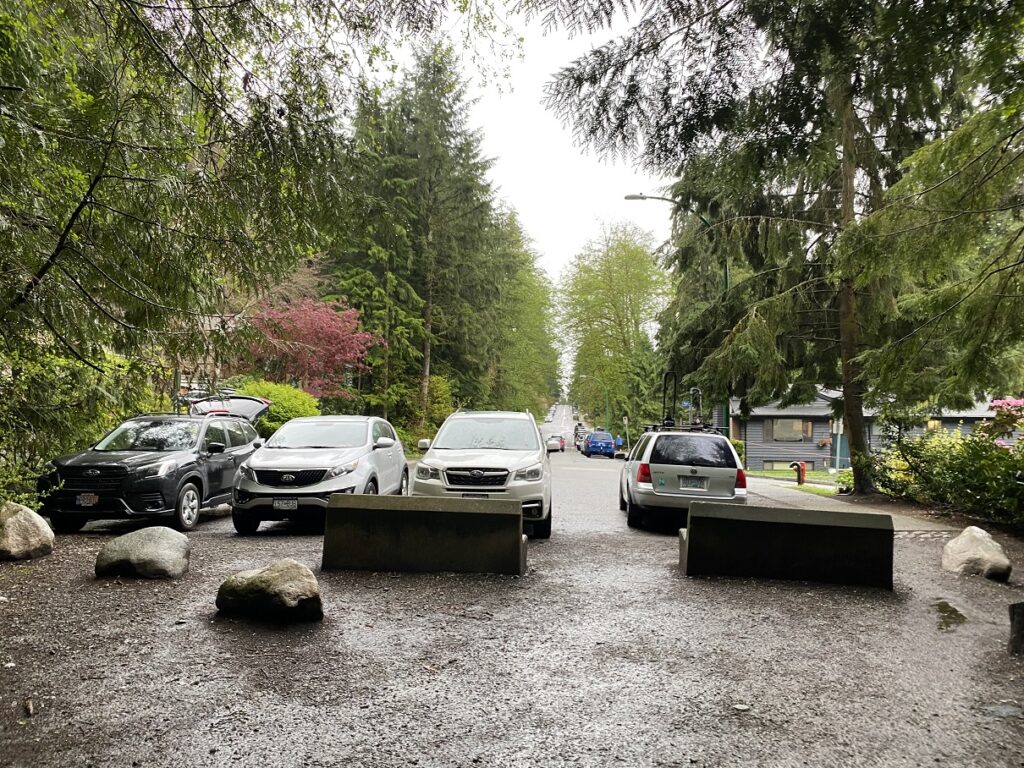
Mystery Falls Loop combines different trails, and the network of trails can keep the Mystery Falls a mystery to the hikers. Thankfully, Neha and Abhi downloaded the trail using their All Trails app.
We started the hike on Hyannis Trail around 8:50 am. It had already started drizzling, but I was better prepared than I was for the Eagle Mountain hike I did earlier in the month.
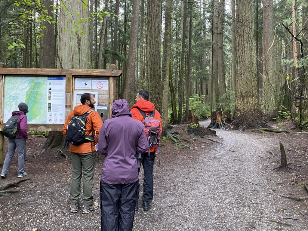
Hyannis Trail is relatively flat, and after 20 minutes (about 1.35 km), we connected to the Powerlines Trail.
Mystery Falls
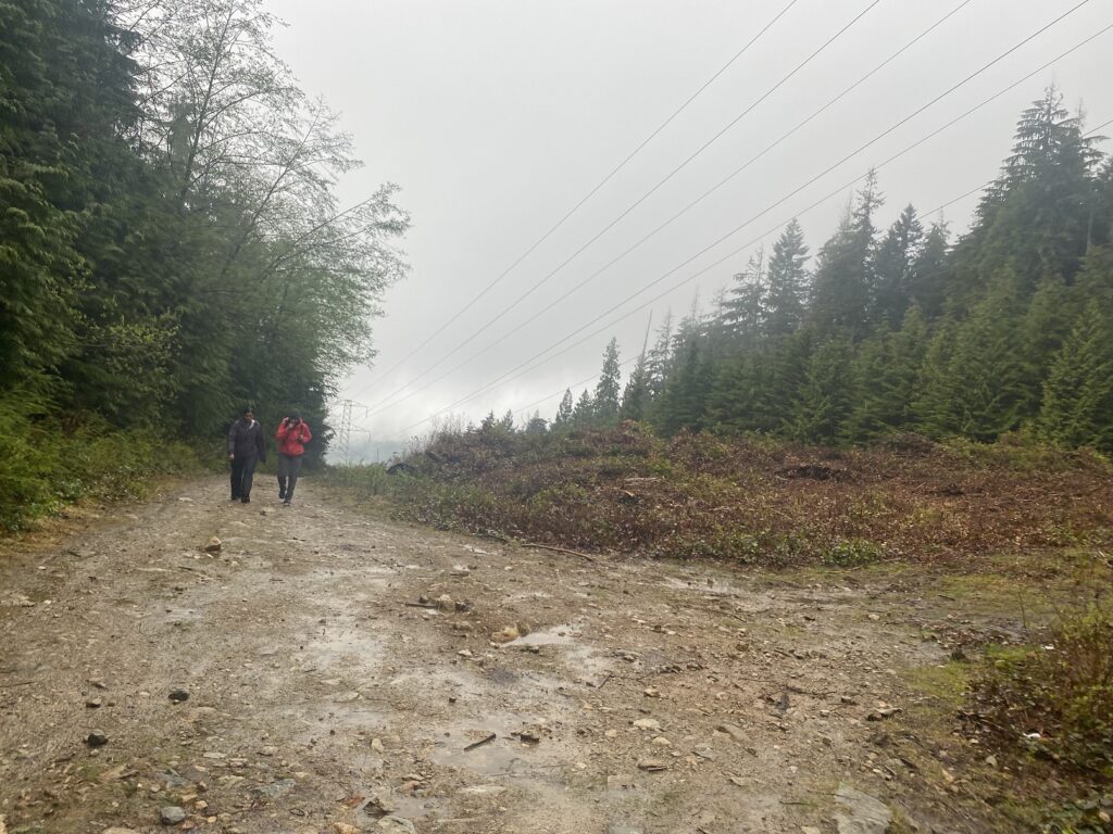
Powerlines Trail is a gravel road that aptly follows the power lines. It is steeper in some sections and has about 250 m elevation gain over 1.5 km.
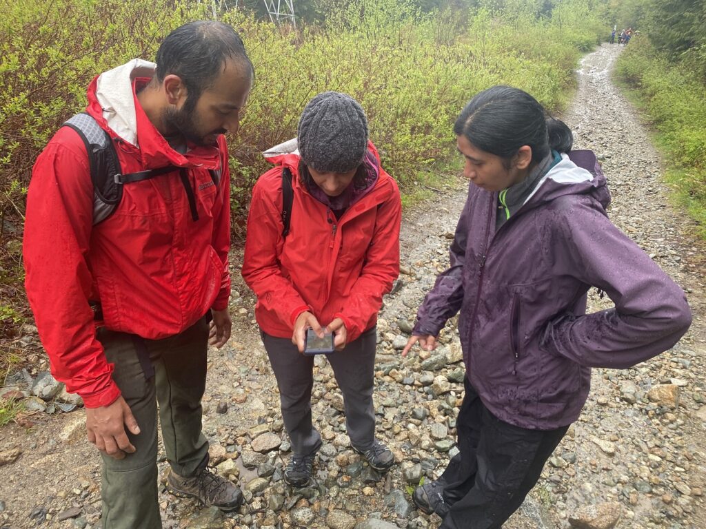
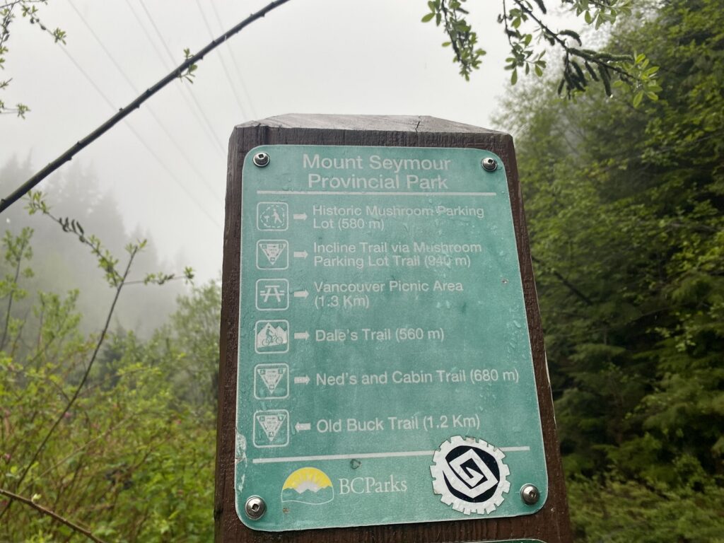
About 50 minutes into the hike, Neha checked the map and said we had just passed the junction. We walked back and followed the signs for the Cabin/Mushroom trail.
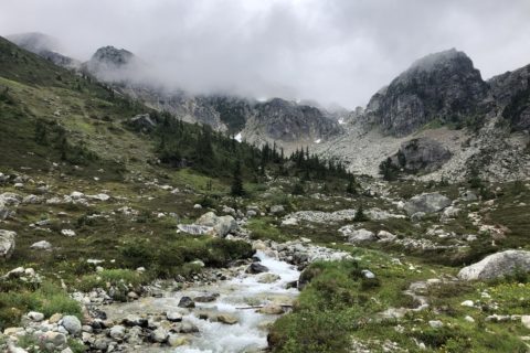
From the junction, it was less than a km hike on a combination of Mushroom and Cabin trails to Mystery Falls. It was about 3.5 km to Mystery Falls, and it took us just over an hour to get there.
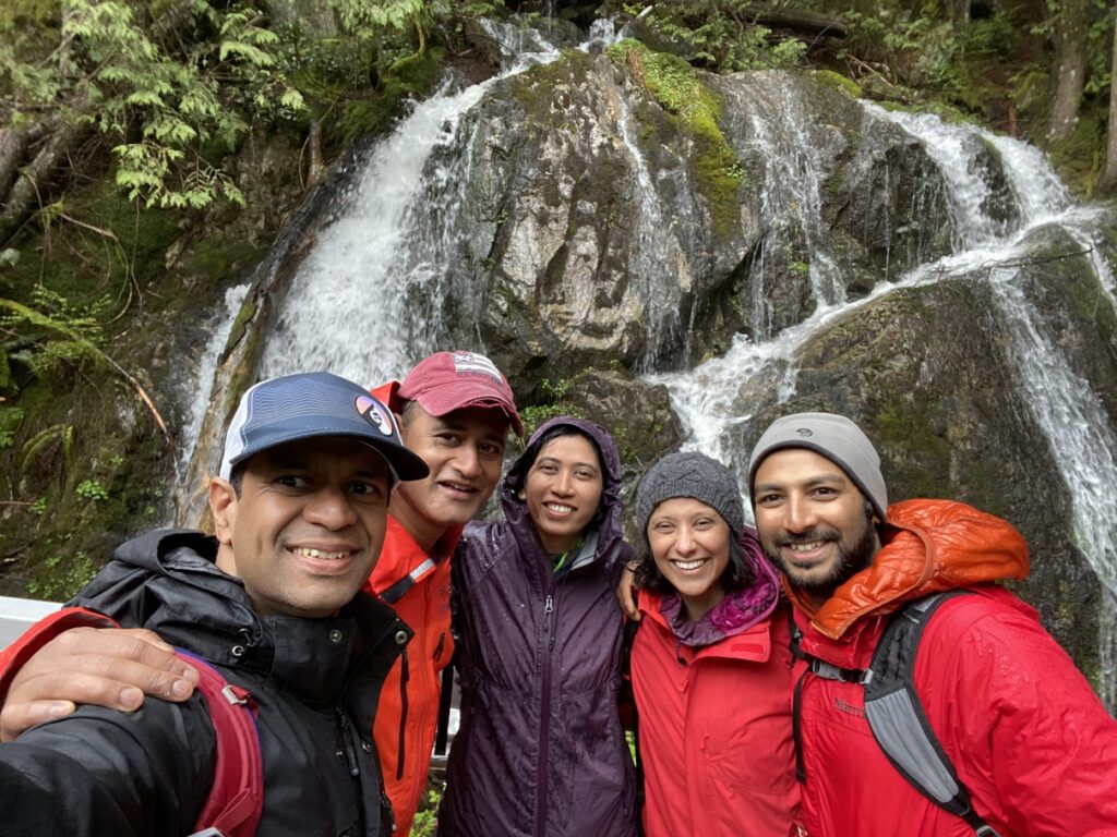
This Way, That Way
After a short chai break, we started hiking again. We had only done 1/3rd of the hike and had another 6 km to go.
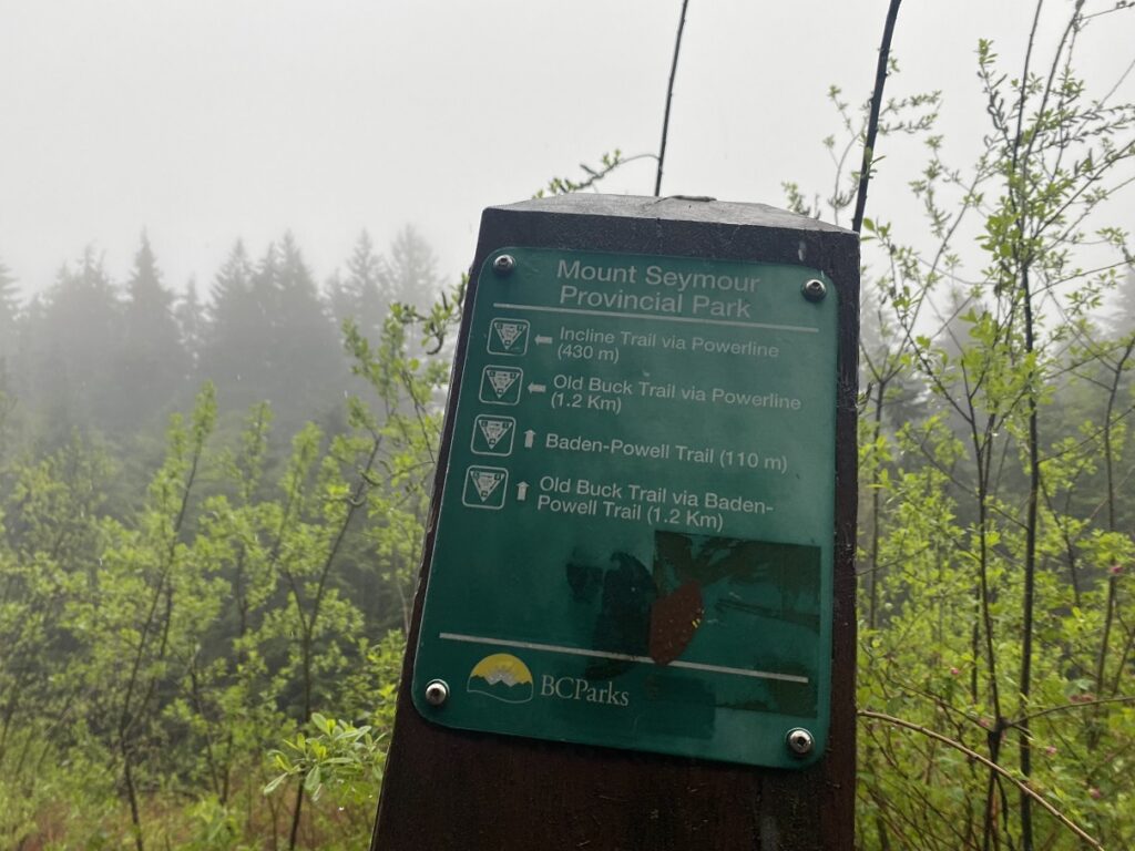
We hiked back to the junction and continued to hike straight on the Baden Powell Trail. It was relatively straightforward for the next two km as we connected from Baden Powell to Old Buck Trail.
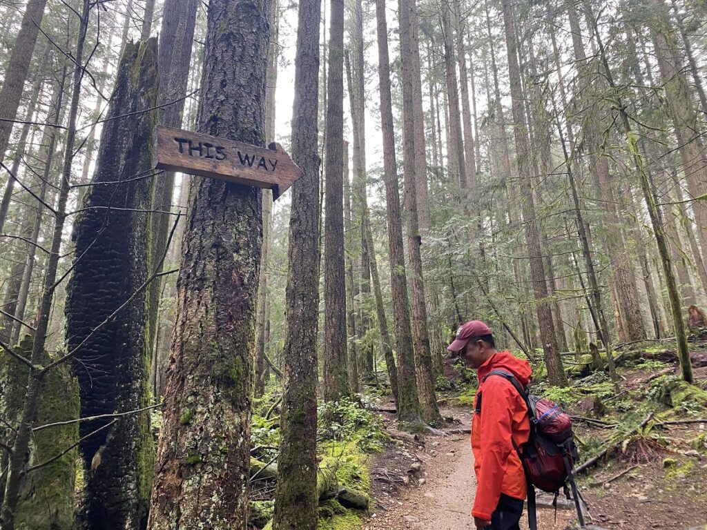
However, once we got on the Bridle Trail, the multiple junctions created more confusion. Neha and Abhi constantly checked the map to ensure we stayed on the right trail.
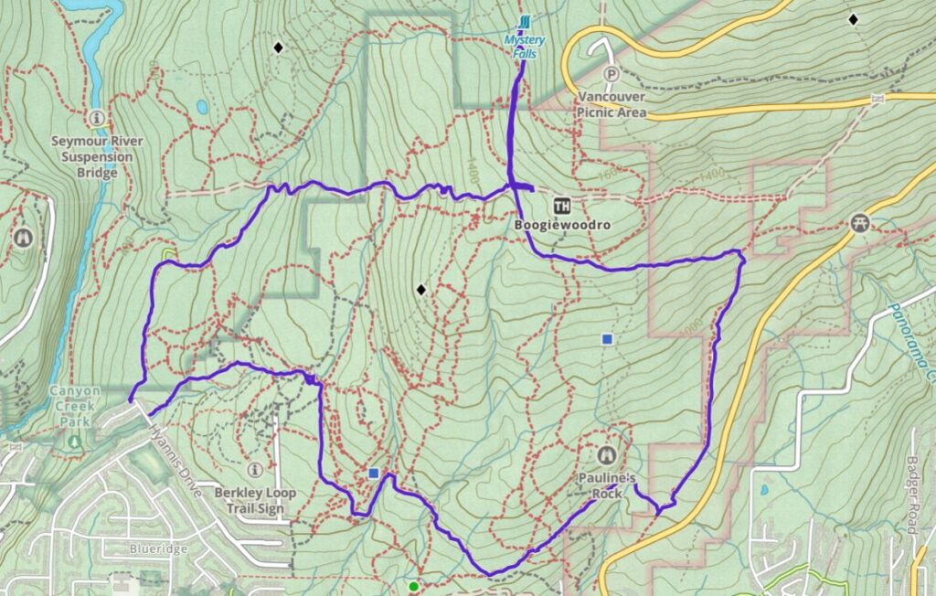
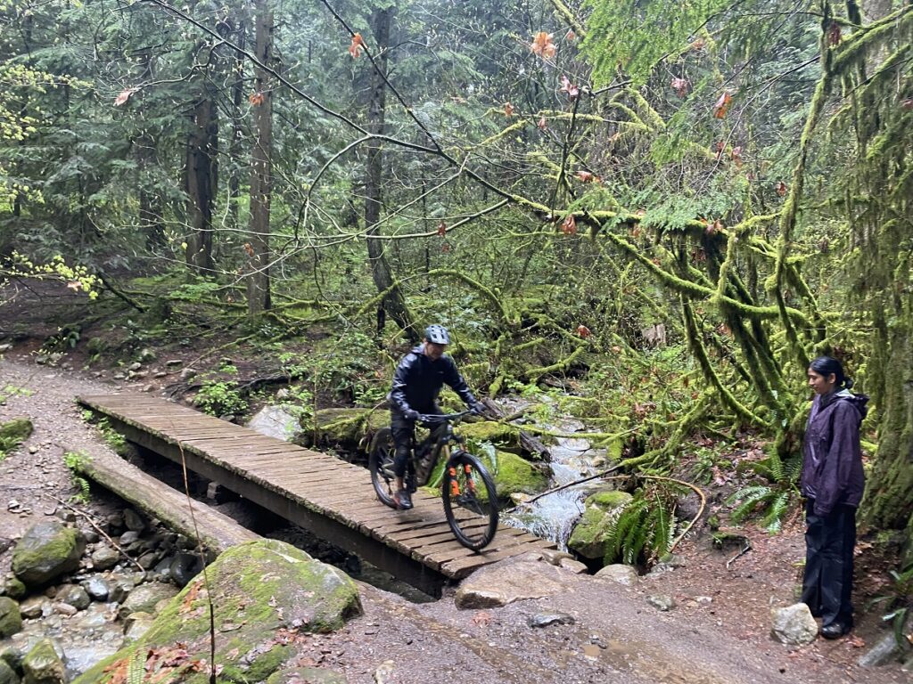
Finally, after three hours of hiking, we returned to Hyannis Drive. The hike was 10.6 km in total, with 500 m of cumulative elevation gain. It was a busy Saturday on the trail with trail runners and mountain bikers, but overall, it was an easy hike on a rainy day.
Territory Acknowledgement
I would like to acknowledge that this trip took place on the unceded territory of the Coast Salish peoples, including the territories of the xʷməθkwəy̓əm (Musqueam), Skwxwú7mesh (Squamish), Stó:lō (staw-low) and Səl̓ílwətaʔ/Selilwitulh (Tsleil-Waututh) Nations. I commit to learning about Indigenous peoples and issues and making reconciliation an ongoing effort.
Source: Native-Land
Pronunciation Guide: First Nations.info, A Guide to Pronunciation of BC First Nations
Resources:
First Nations: xʷməθkwəy̓əm (Musqueam) | Skwxwú7mesh (Squamish) | Stó:lō (staw-low) | Səl̓ílwətaʔ/Selilwitulh (Tsleil-Waututh)
Trail Map: All Trails | GAIA (our track)
Weather Forecast – SpotWx | Yr.No
AdventureSmart – Trip Planning
Disclosure: The links I have shared in the post and under the Resources section are not Affiliate Links.
Did you enjoy reading this post? Please subscribe to get weekly updates. Please share your feedback in the comments section below. Thank you!


