On our last India trip, Kasturi took me to Ajinkyatara Fort in Satara for the first time. From my mother-in-law’s home, it’s an easy access to the fort. This year, we arrived in Satara on November 13, and since then, I have been up to Ajinkyatara three times. In this post, I will summarize the different approaches and key sites on the fort.
Approach from Kurneshwar
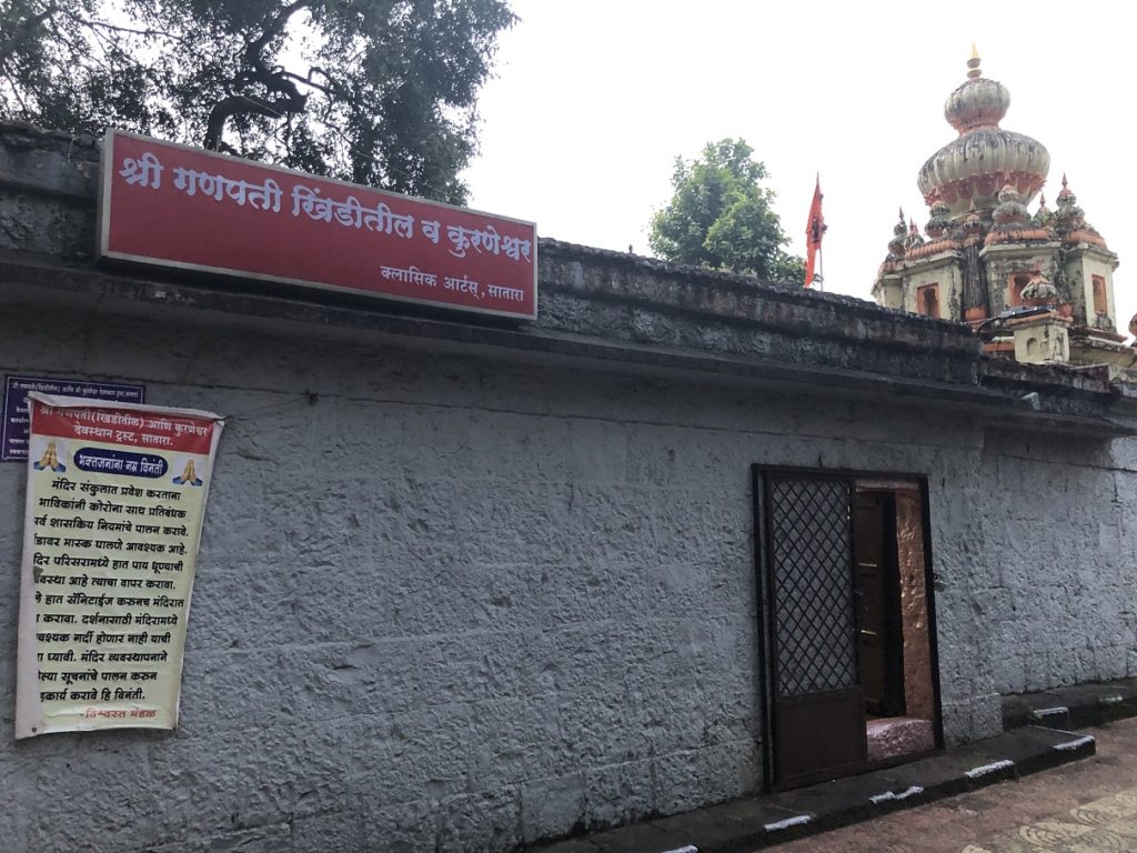
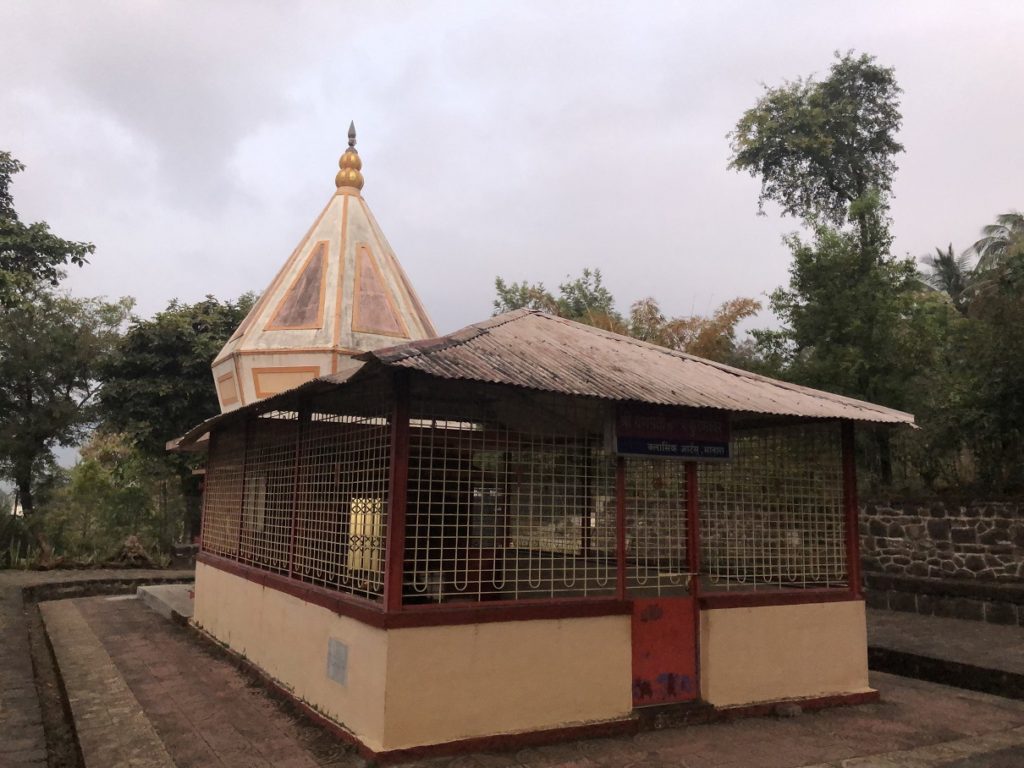
Kurneshwar area is on Shendre-Songaon Road, and it took us about 15 minutes to get here. There are a couple of temples in this area, and it was pretty peaceful early in the morning.
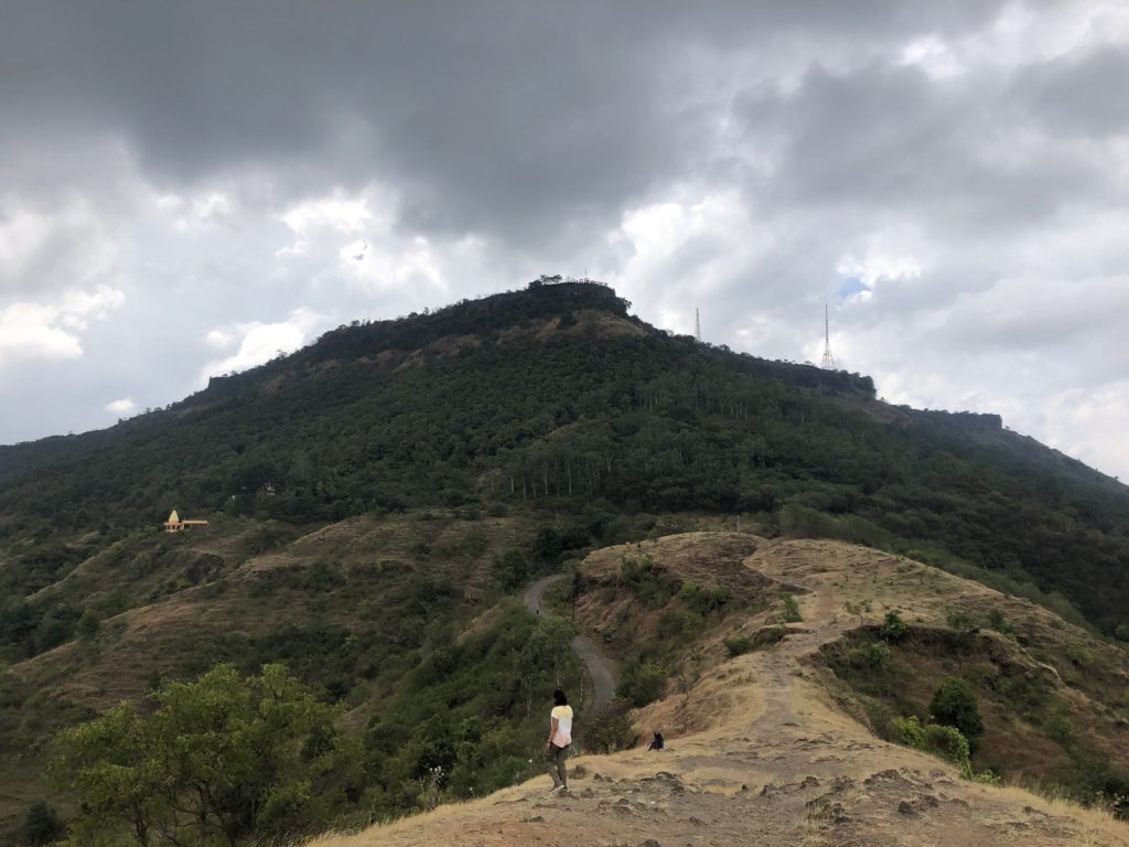
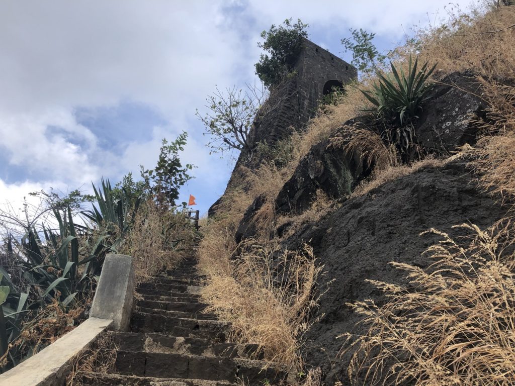
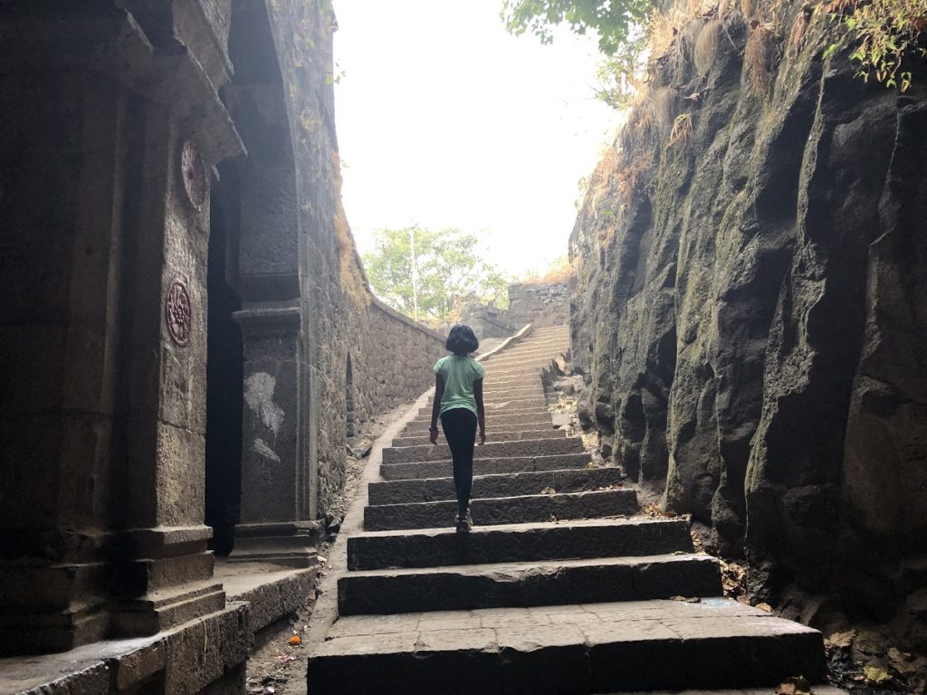
The trail to Ajinkyatara Fort starts right opposite Kurneshwar. There are no signs, but it is easy to spot the trail.
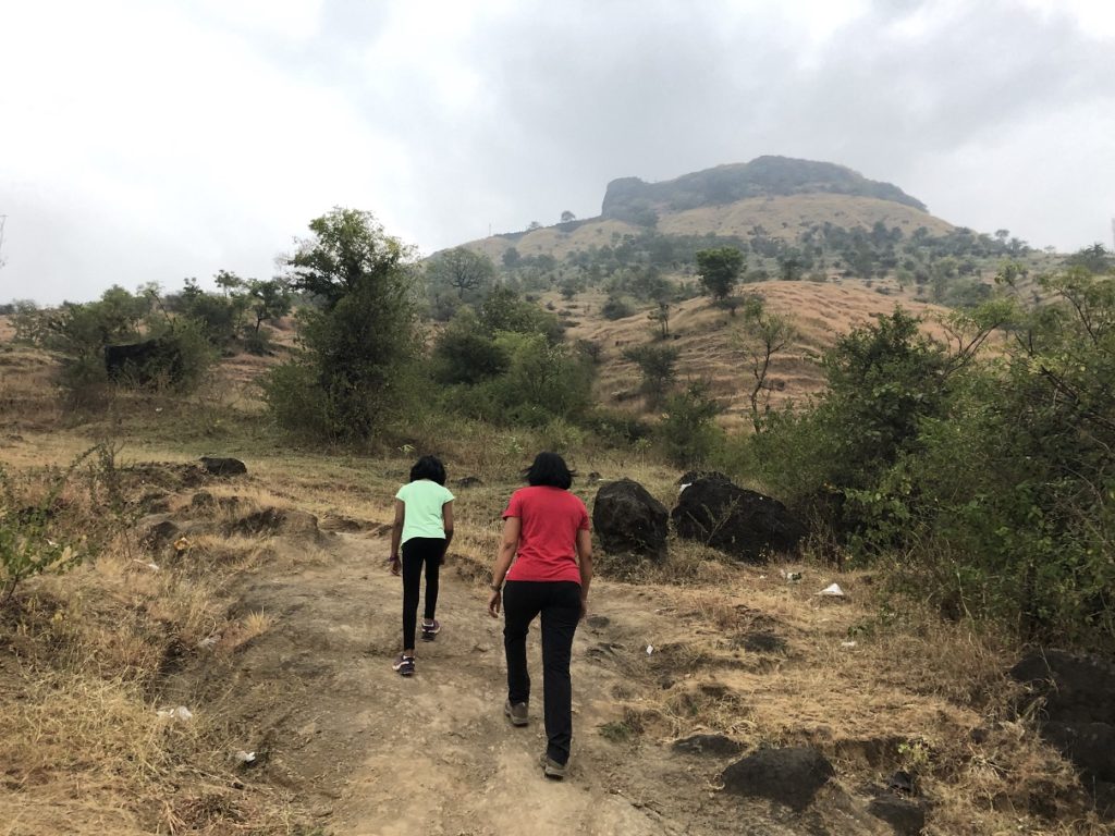
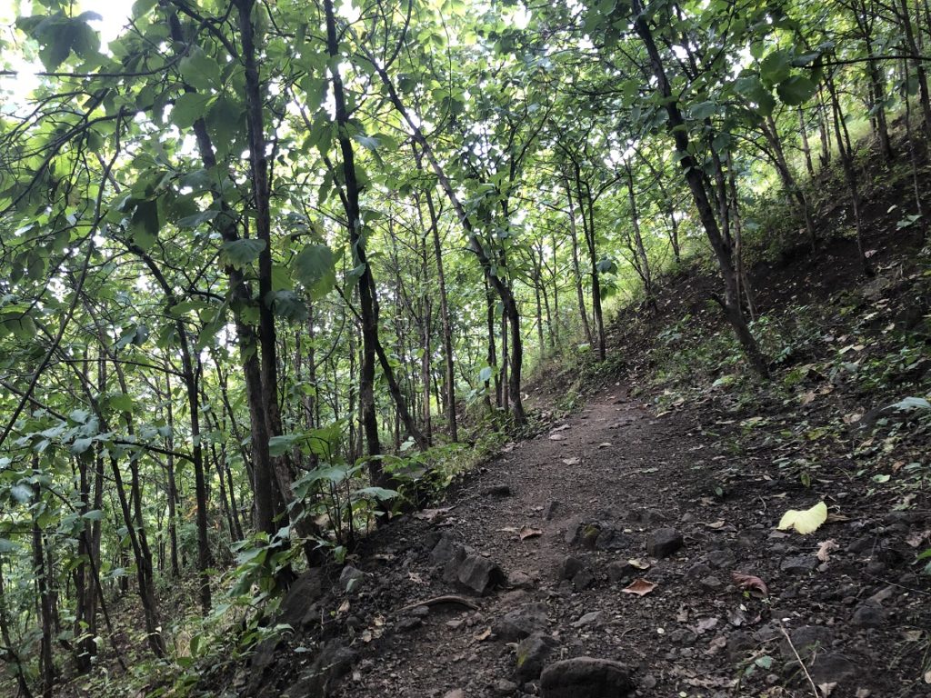
The hike from the road to the fort entrance is short but consistently steep.
In less than a km, there is an elevation gain of about 210 m.
Approach from Maruti Mandir (Hanuman Temple)
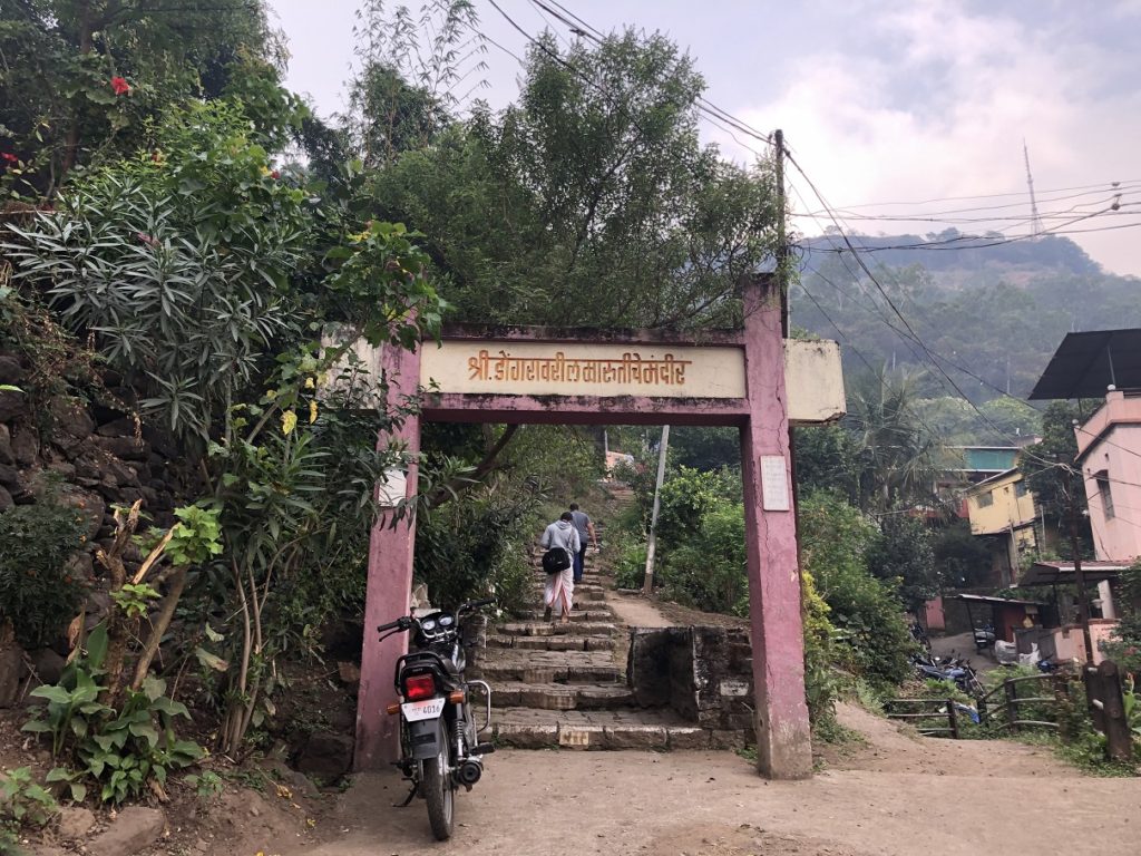
This route starts off Adalat Wada Road, and a short walk brings you to this temple arch.
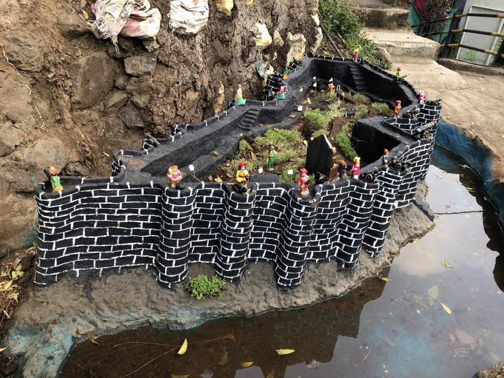
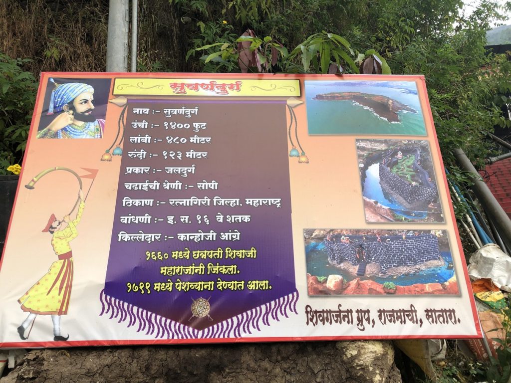
Just a few steps and there was this beautiful model of Suvarnadurg Fort – a Sea Fort built around the 16th century. This model was put together by the Shivgarjana Group of Satara.
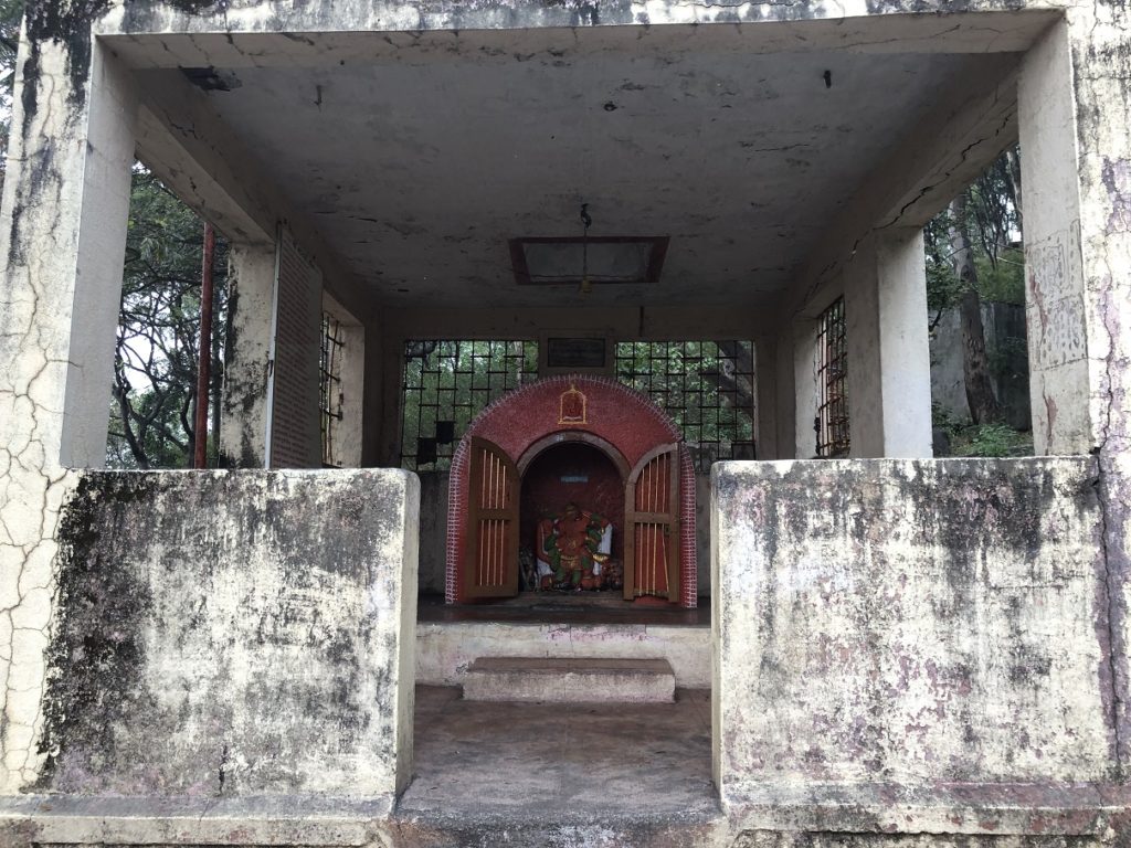
From here, it takes less than five minutes to reach the Hanuman Temple.
The steps continue beyond the temple and soon connect with the Ajinkyatara Paschim Darwaja (Western Door) Road. From the Adalat Wada Road, it gains about 100 m in less than half a km.
From here, it is an easy walk just over a km to the Western Door of the fort. From this route, the total hike (one way starting from Adalat Wada Road) is around 1.5 km with about 200 m of elevation gain.
Approach from Chaar Bhinti – Mangalai Devi Mandir
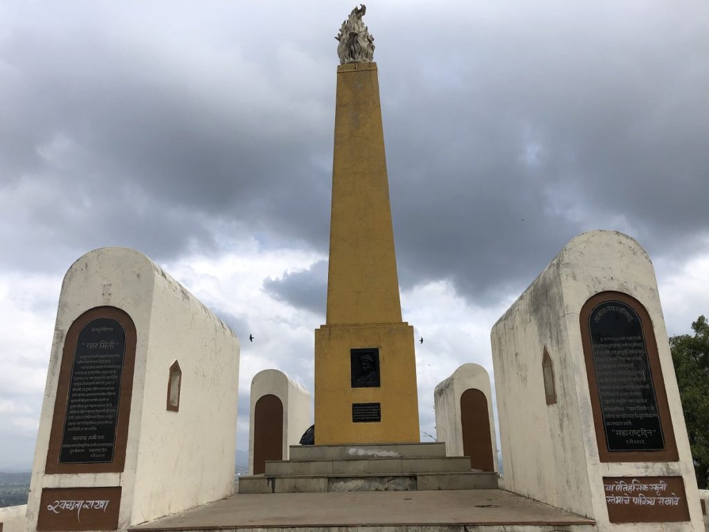
Chaar Bhinti (Four Walls) was built in 1830 and was referred to as Najar Bangla – a place from where you can keep a watch. In 1957, the pillar was constructed in honour of the revolutionaries who lost their lives in India’s first war of independence in 1857.
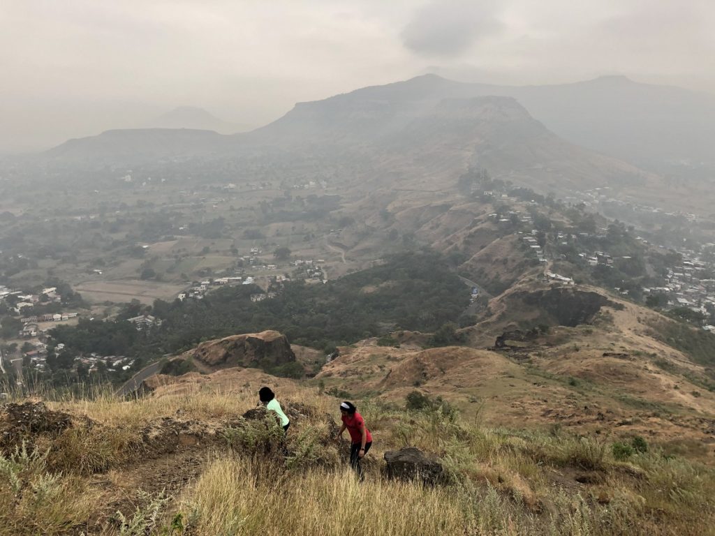
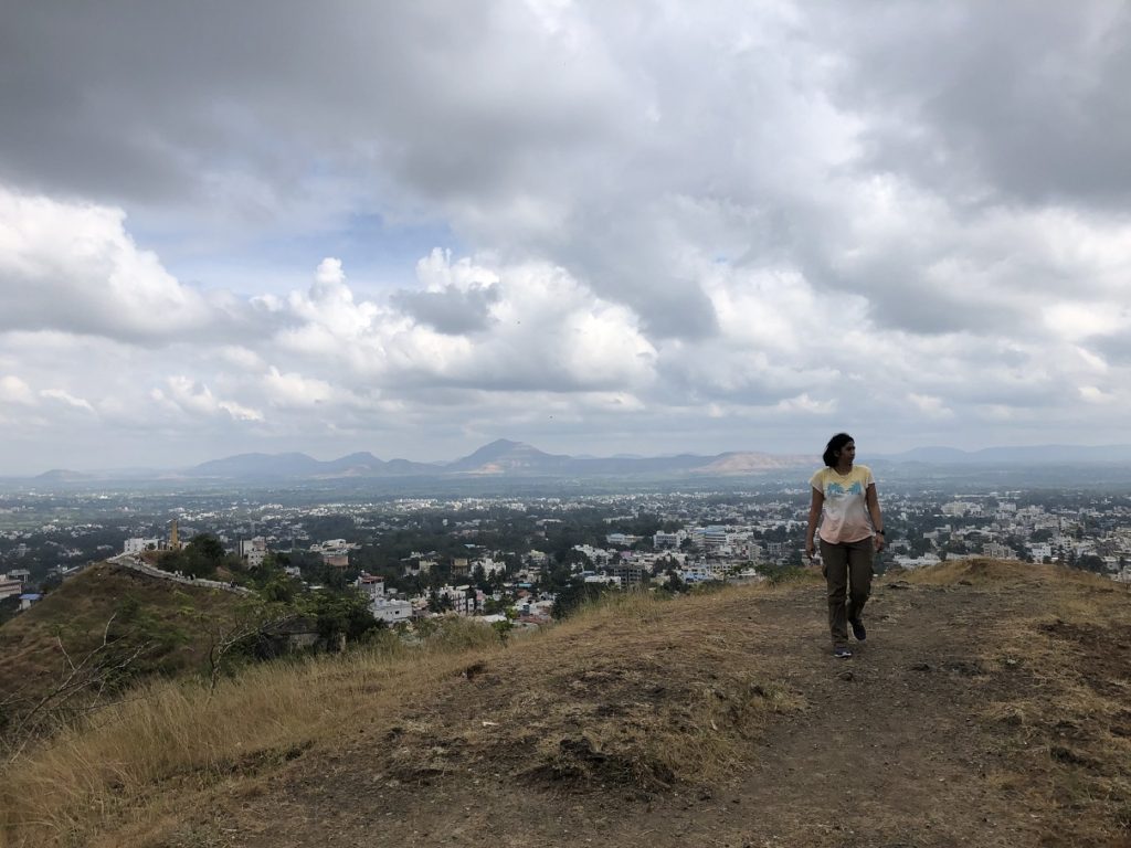
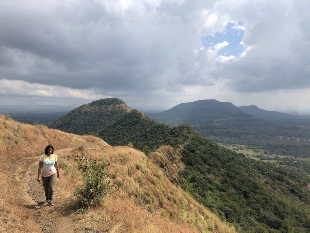
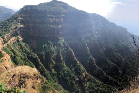
There are multiple ways to get up to this site. We approached it using a trail just left of Maruti Mandir (mentioned above) and then retraced our steps to Managalai Devi Mandir. It was a clear day and we had amazing views of the city from the ridge.
From Chaar Bhinti it was about a km walk to Mangalai Devi Mandir.
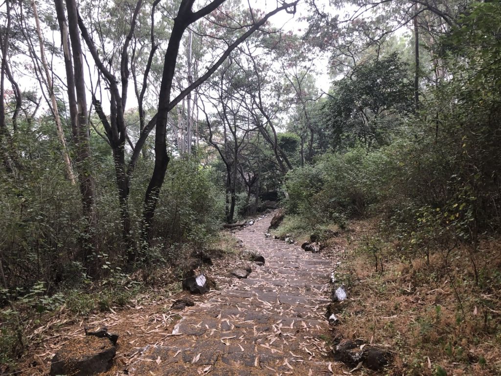
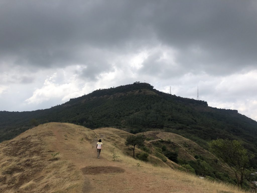
Right next to the temple a trail went up the mountain but it didn’t seem to be well used. I asked Kasturi and she was not aware of it. We decided to explore it a bit further and were surprised to find a nice shaded trail.
We had heard reports of Bibtya (Leopard) sighting near Ajinkyatara so were really cautious and at least I was a bit more chatty than usual while hiking on this unknown (to us) trail.
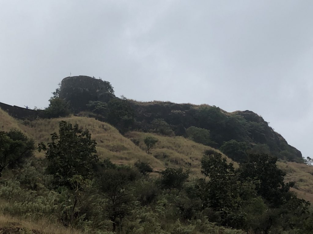
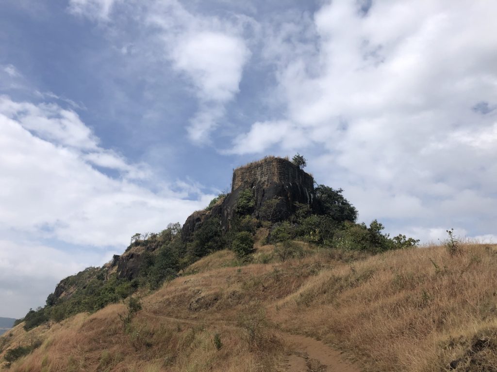
As I tracked our location on GAIA, I realized that we were gradually moving up and to the South end of the Ajinkyatara fort. As the trail turned West, we saw the prominent South tower of the Fort as well as a trail leading to a small door on the left. We had stumbled upon the Dakshin Darwaja (South Door) of Ajinkyatara Fort.
The fact that Kasturi didn’t know about this route, made this approach even more special. She had learned something new about a fort right in her backyard.
Ajinkyatara Fort
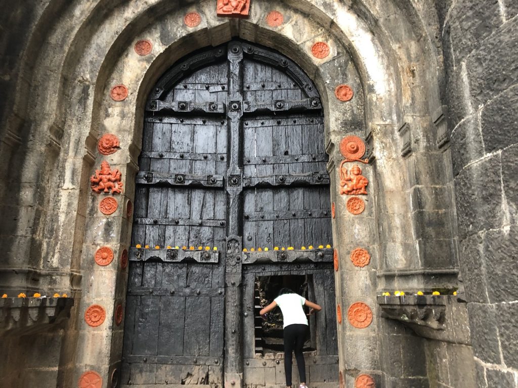
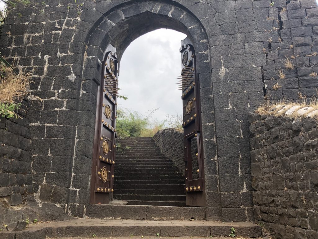
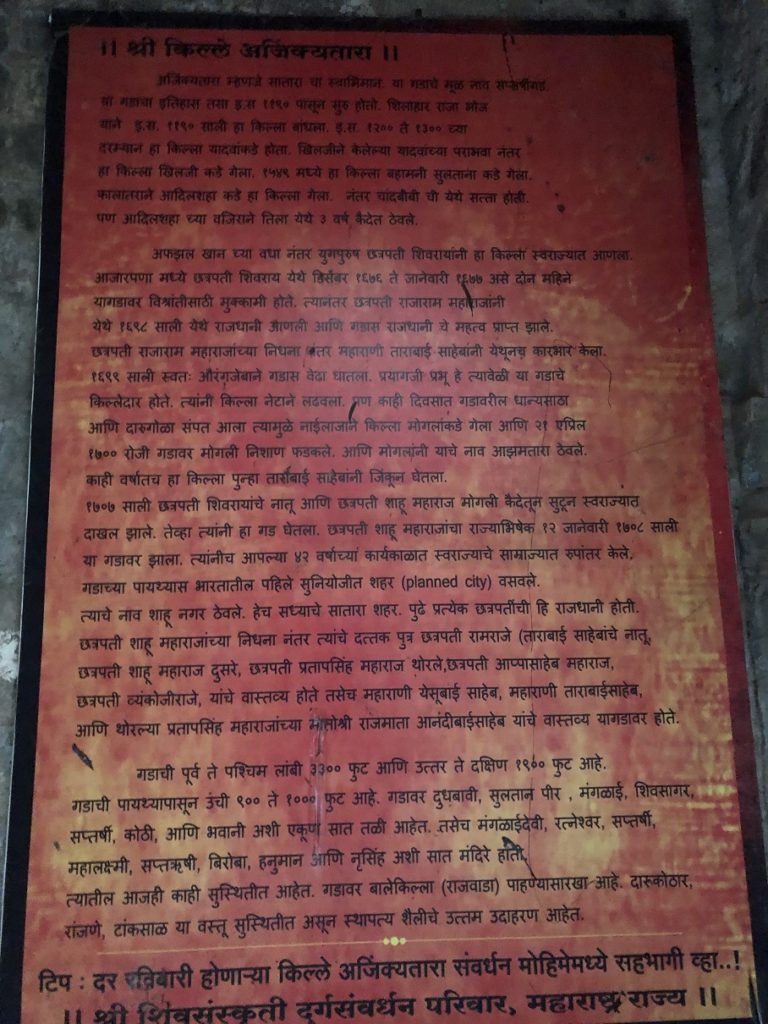
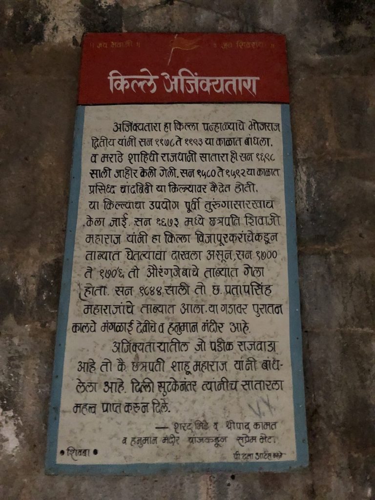
Right at the western entrance, there are two boards with history and information about the fort. Ajinkyatara was built around the late 12th century by Bhojraj II. Over the centuries, Yadavas, Khilji, Bahamani, Adilshahi, Marathas and Mughals ruled on this fort and it has a rich history.
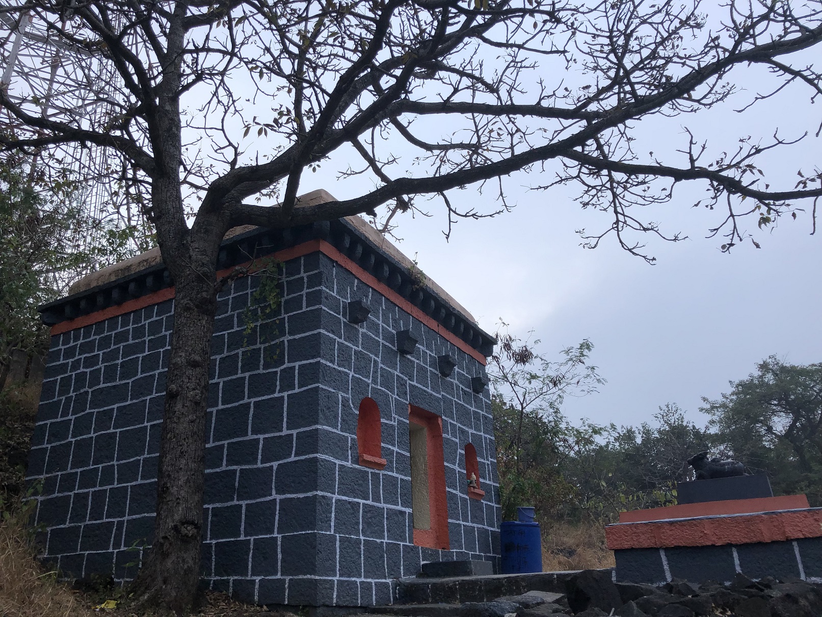
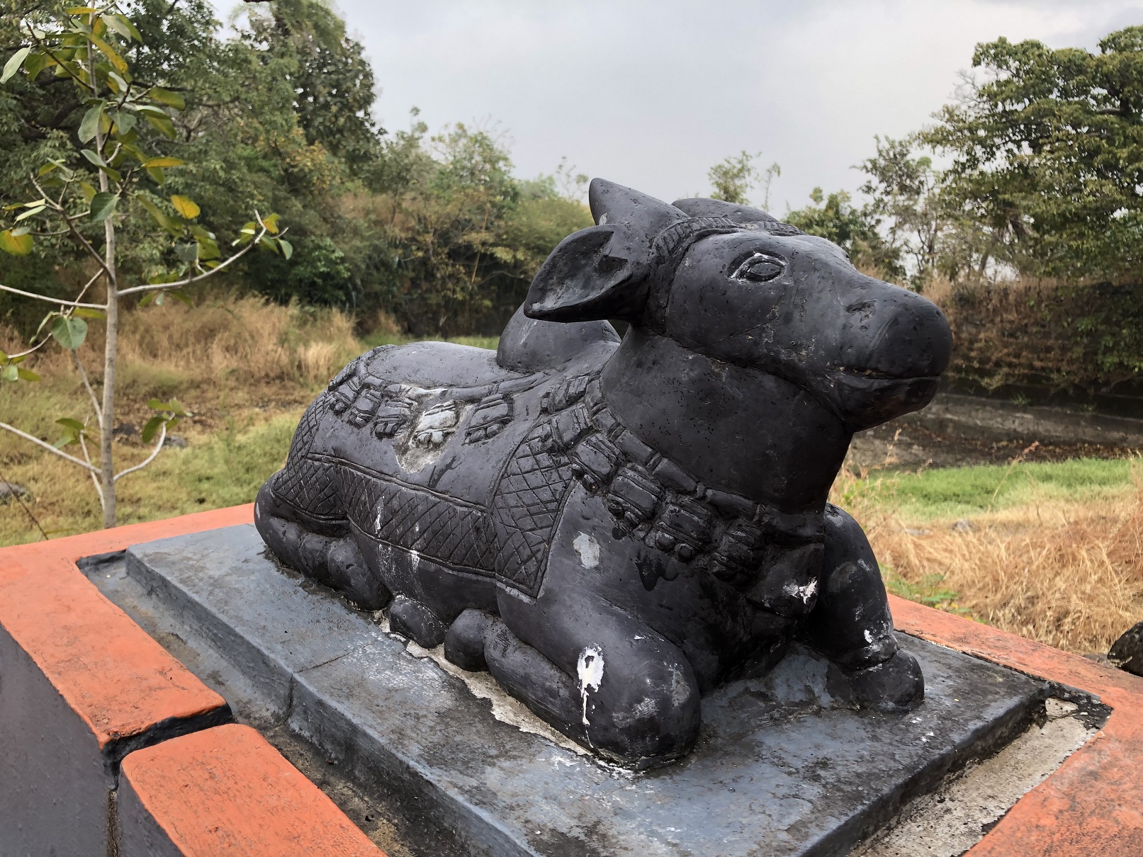
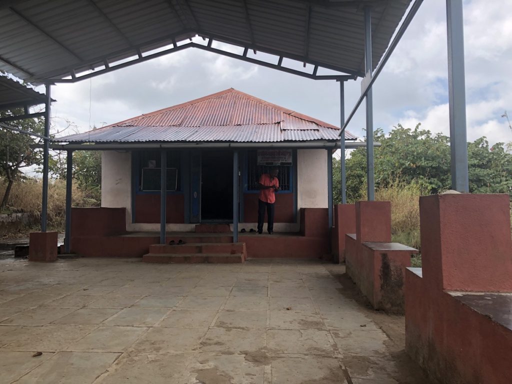
As you climb up through the entrance you will see Shiv and Hanuman temples to the right.
Past these temples, a trail takes you to the west end of the fort.
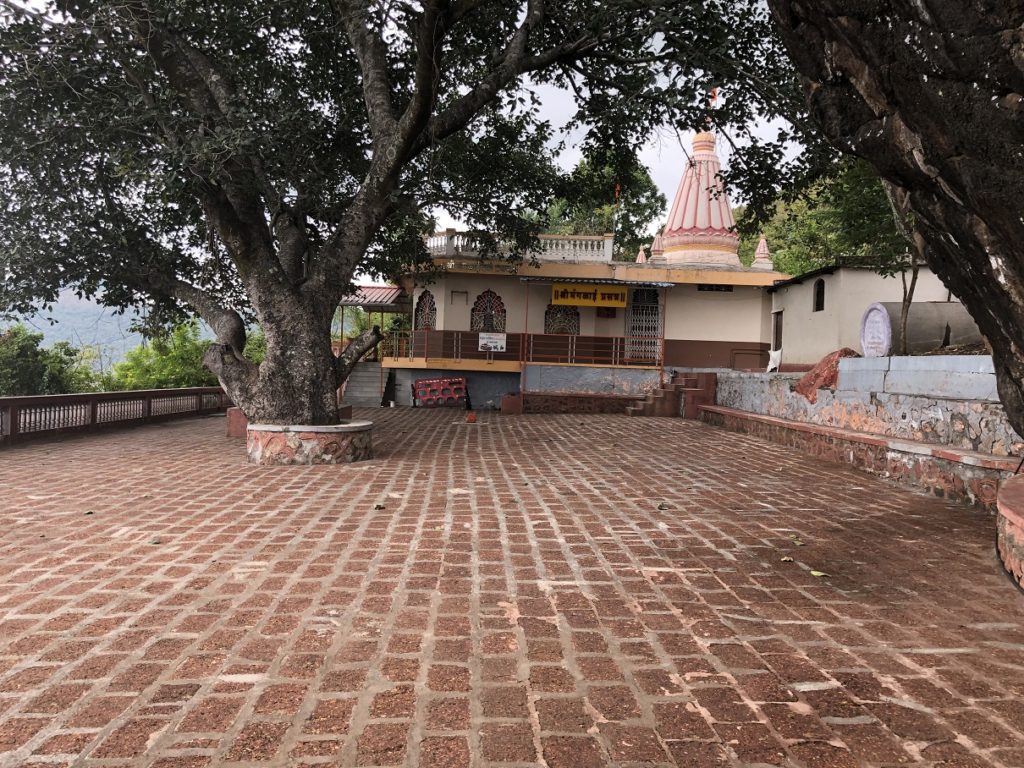
As we retrace our steps and move in the opposite direction, the trail to the right takes us to the Saptarshi Mandir and to the left the path leads to Mangalai Devi Mandir (on the fort, not to be confused with one I mentioned earlier).
Saptarshi and Mangalai Devi Mandir –
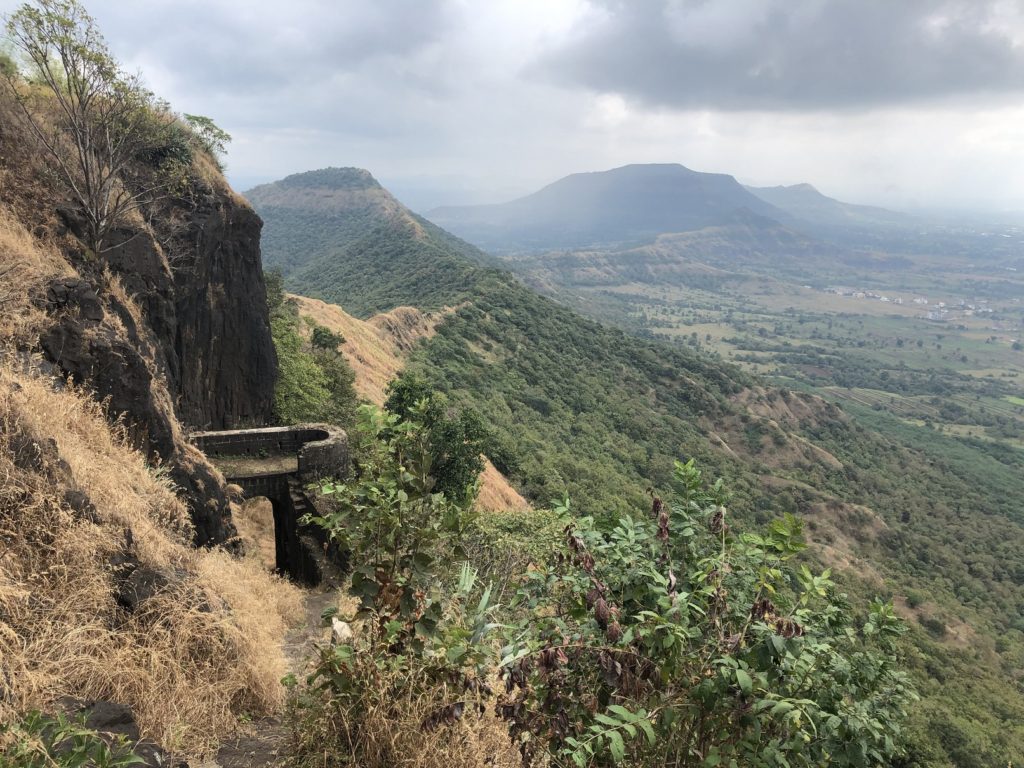
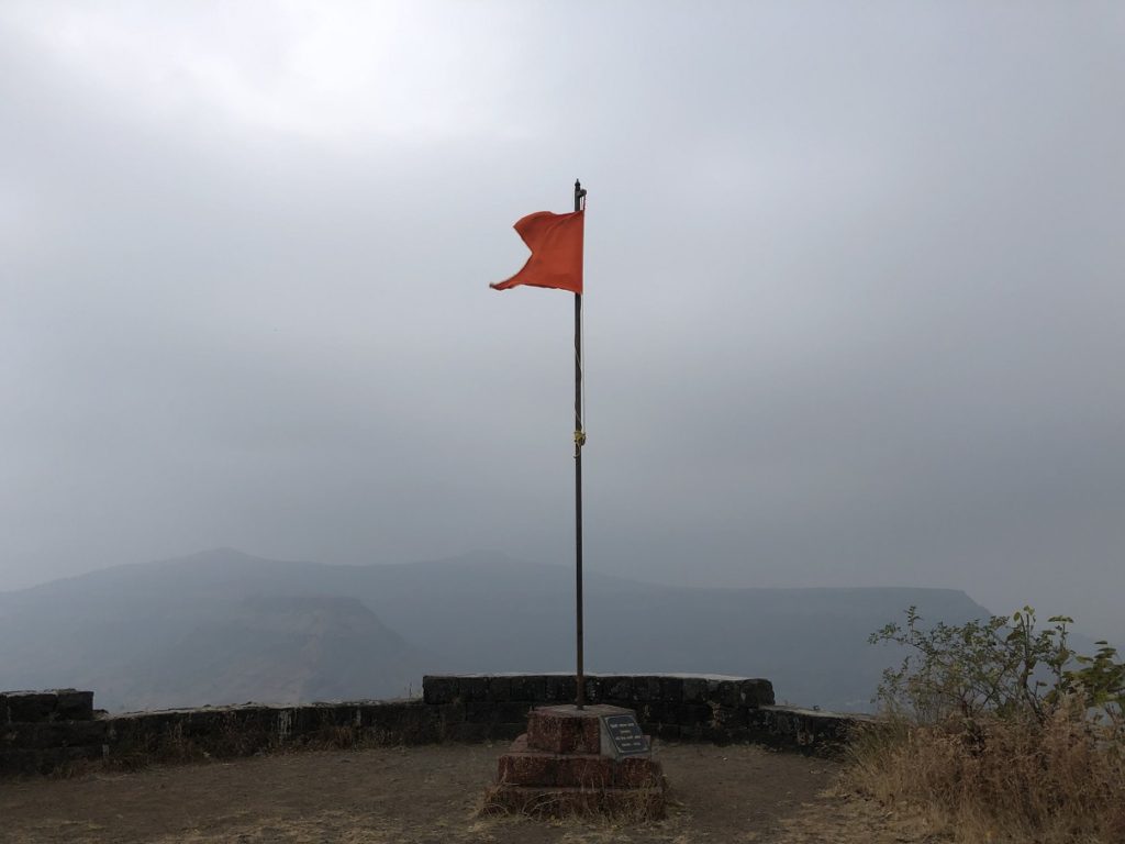
As you walk to Mangalai Devi Mandir on the North end of the fort, you see two water tanks and ruins of the fort. And yes, there is also Prasar Bharati – All India Radio office on this side of the fort as well. My favourite view from the fort was from the south end of the fort.
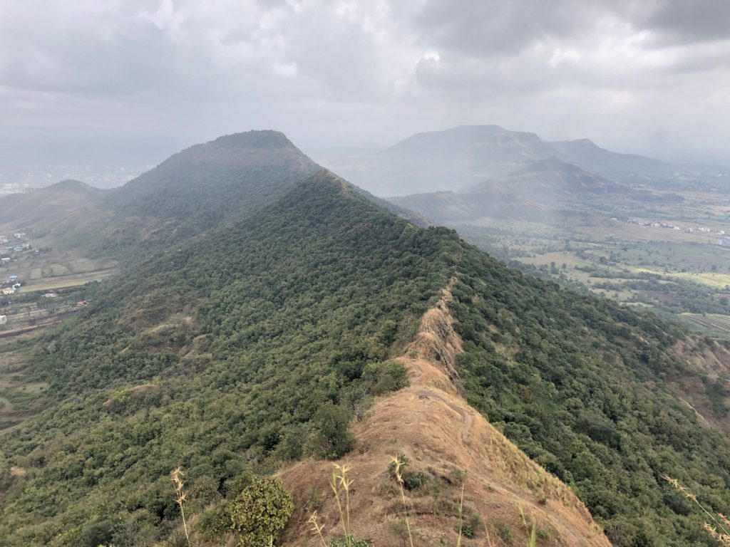
You can see a trail going on the ridge and I hope to explore it on my next visit to Satara.
Resources:
Ajinkayatara Fort Map: Trek Shitij
GAIA Tracks: Kurneshwar and Maruti Mandir Route | Chaar Bhinti-Mangalai Devi Mandir Route
Weather: Yr.No | India Meteorological Department
Disclosure: The links I have shared in the post and under the Resources section are not Affiliate Links.
Did you enjoy reading this post? Please subscribe to get weekly updates. Please share your feedback in the comments section below. Thank you!


Good post Shashi 😊
It cherished my memories about Ajinkyatara!!
Thank you Aparna. I am glad you enjoyed the post.
Satara madhe 30 varsh a rahun je mahit navhata te mahit zale
Pudhachya veli ekhada tari Ajinkyataryavar jave ase vatatey
Chanach
Ho Mangalai Devi chya ithun ji vaat ahe ti sopi ahe ani views changle ahet. Nakki kara.