
Update – I finally climbed Wedge Mountain in June 2022.
Wedge Mountain at 2892 m is the highest mountain in Garibaldi Provincial Park, and I wanted to climb it since my first trip to this park a couple of years back. Around the end of August 2019, there was a decent weather window for Wedge Mountain. After a few texts with Slawomir and Seb, we decided to give it a try.
The plan was to leave Vancouver Friday afternoon and hike to Wedgemount Lake hut. We would start early on Saturday, Summit via West Ridge route and get back to Vancouver by Saturday evening.
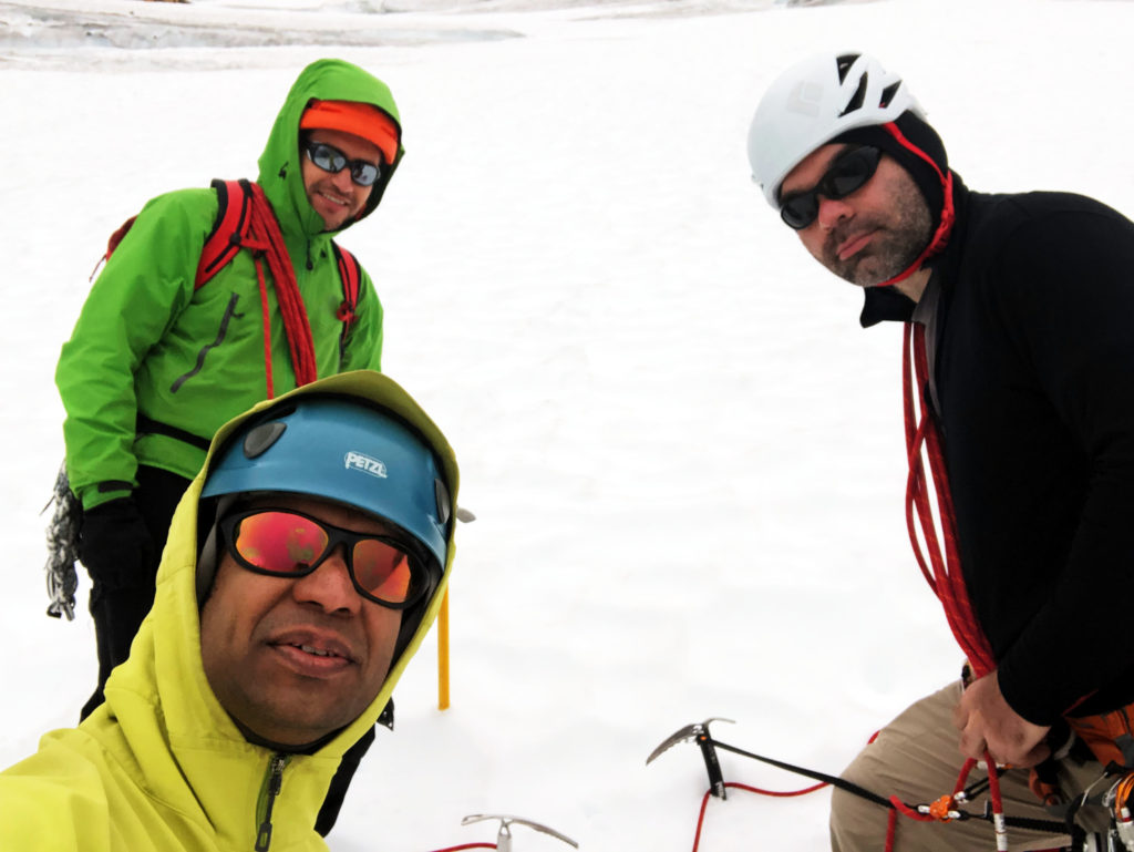
Seb and I left Vancouver around 5:30 pm. Slawomir had some work, and he would join us later in the night. We parked at the Wedgemount trailhead and started our hike around 7 pm.
Wedgemount Trail
After hiking on the gravel road for more than five minutes, Seb realized that we had come too far. We walked back and saw the pink ribbons and the sign for the Wedgemount Lake Trail.
We met a group of day hikers returning from their hike. One guy from the group cautioned us that the trail is too steep. Further, it’s not safe to go up now as it will be dark soon.
Although we were okay with this late start, his concern was understandable. If we couldn’t find a marked trail in daylight, how would we hike the next six km and reach the hut after dark?

Fortunately, we didn’t get lost and reached the hut after two and a half hours. The trail is pretty rugged, and I was tired by the time we got to hut. After a quick dinner, we turned in for the night.
I got up when Slawomir arrived at around 1 am. He got caught up in some work and couldn’t leave early. Slawomir has done this hike several times in different seasons, and hiking up this trail around midnight was not an issue for him.

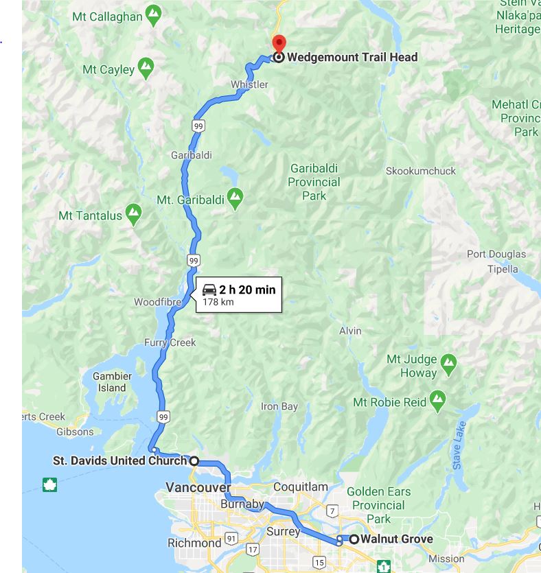
Receding Wedgemount Glacier
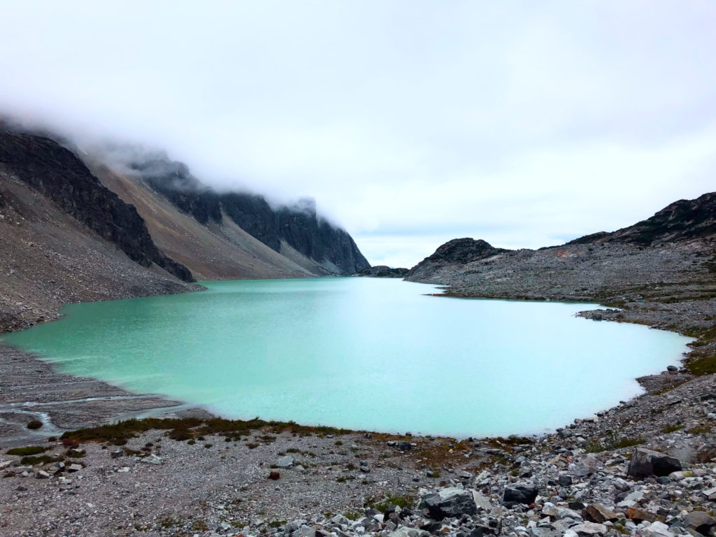
After a couple of hours of sleep, we got up around six, and we left the hut after breakfast. Soon, we were close to Tupper Lake, a relatively new lake formed with the receding Wedgemount Glacier. As per November 2019 report, Wedgemount Glacier has receded around half a km (585 m) in the last 46 years.

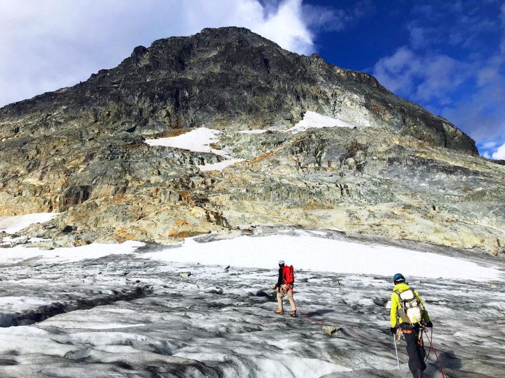
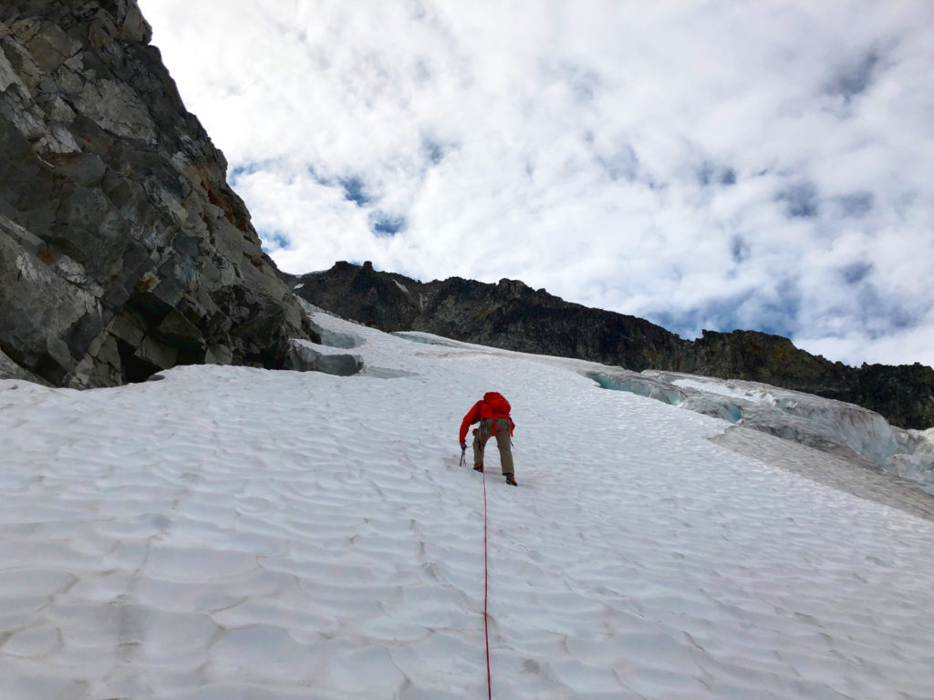
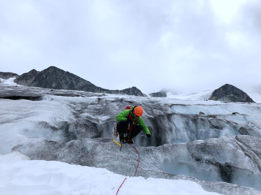
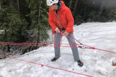
We put on our crampons and hiked up the initial section of the glacier. Further up on the glacier, we roped up. As it was late in the season, the crevasses had opened up.
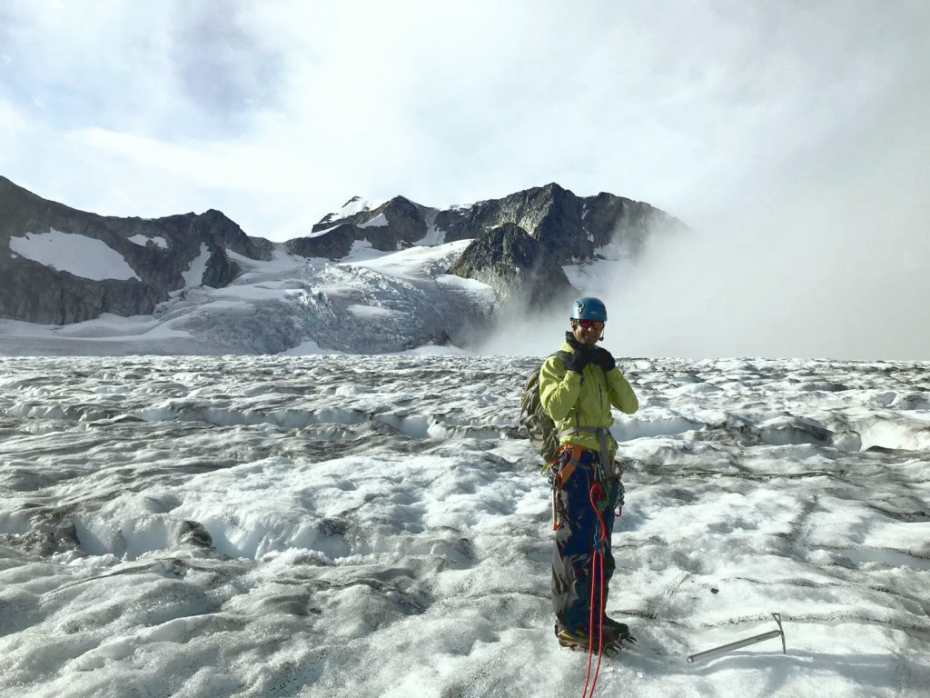
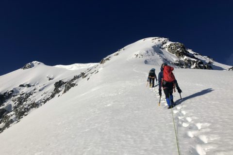
Traverse to Parkhurst-Wedge Col
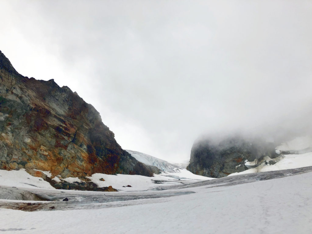
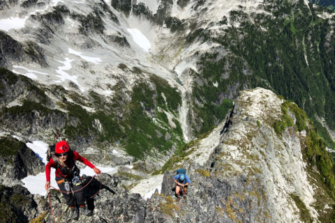
For the next few hours, we hiked through the maze of crevasses to reach Parkhurst-Wedge Col. Intermittently, the clouds would clear up, giving us a clear view of the Wedge mountain.
Around 10:30 am, we reached the col. From the col, we had a better view of the West Ridge route, and it didn’t look good. To access the ridge, we would have to hike up the scree, which would be a slog and time-consuming.
On the Northside, there seemed a way to get higher up on the mountain. To access this route, we would have to get back down on the glacier and make a traverse to avoid the rockfall hazards.

Weather forecast for late in the afternoon was not good, and we agreed on a turnaround time of 2 pm. We took a break for lunch and then started on our new route.
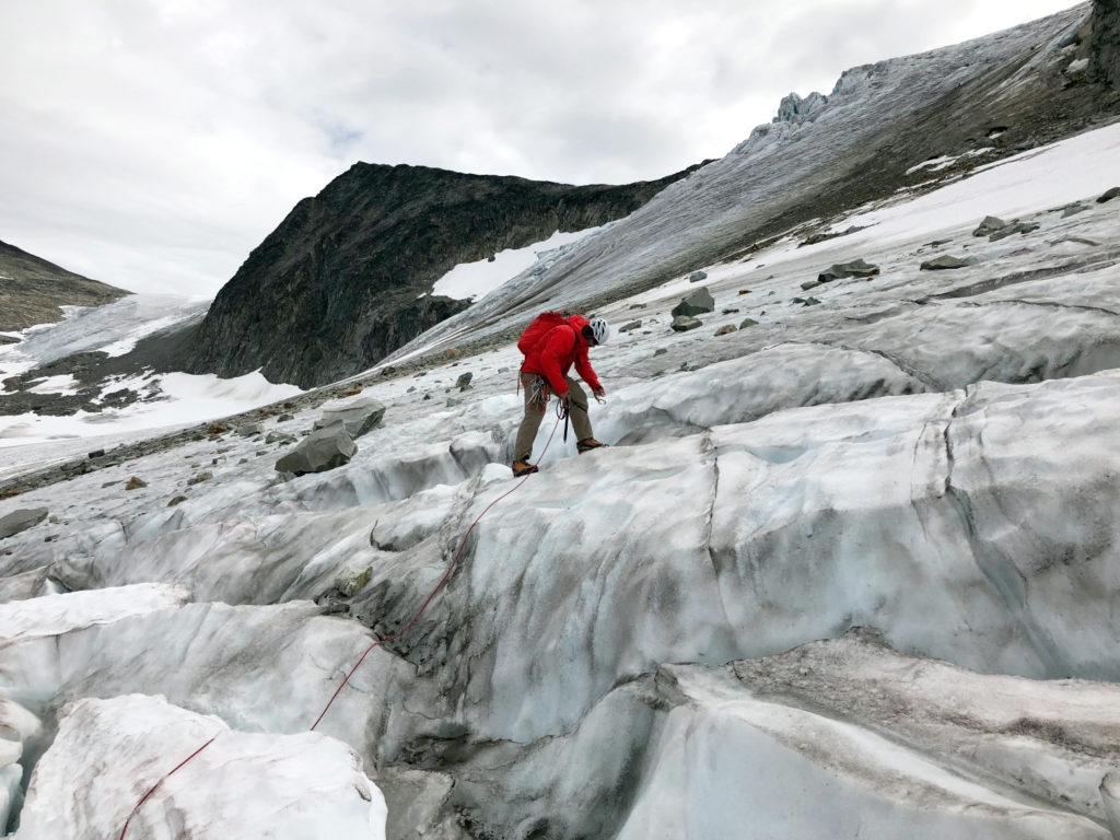
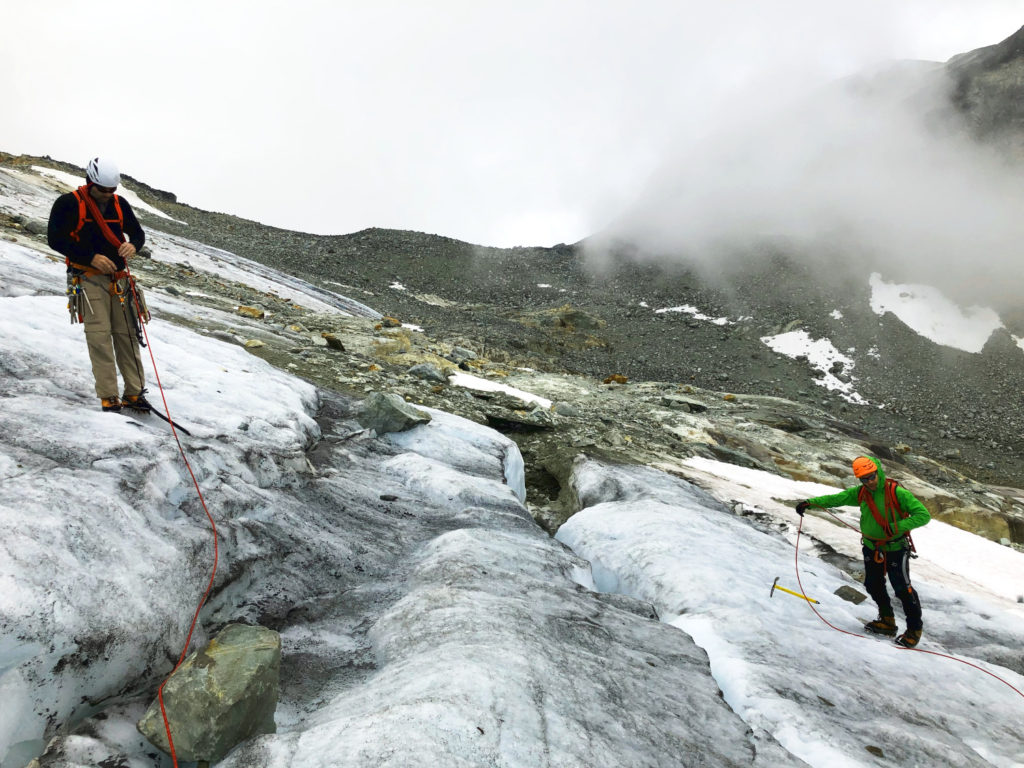
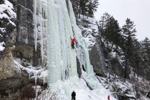
As we made our way up the Northside, it was steep and icy. For protection, Slawomir initially used ice screws and later pickets as we got some snow.
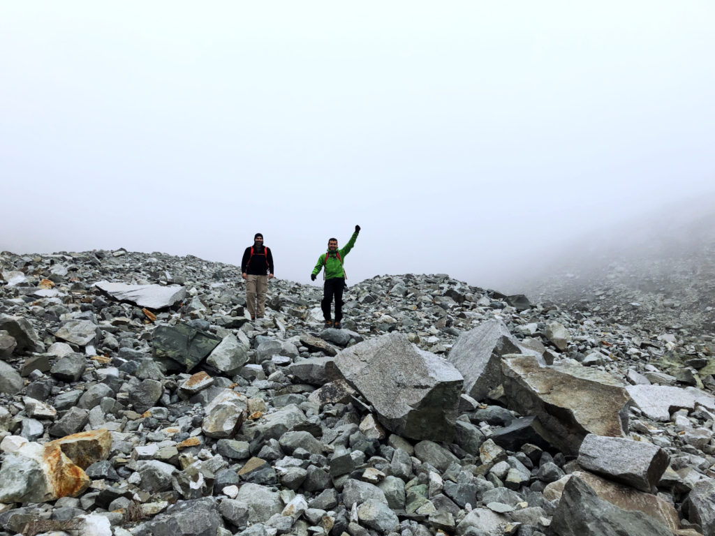
Wedge Mountain Summit – Next Time!
Around 12:30 pm, we got together to reevaluate the route. It was taking much longer than expected. It would have probably taken another two to three hours to summit. Given the weather forecast for the afternoon, we decided to turn around.
It was a slow descent – managing rope, navigating crevasses and protecting with ice screws at some places.
It took us two and a half hours to get back to the hut.
After a quick break, we started our hike down and reached the parking lot by 5:30 pm.
We couldn’t summit, but I had an excellent day navigating crevasses, evaluating hazards, finding alternate routes and teamwork in general. Hopefully, once the Coronavirus situation is under control, I can go back for another attempt.
Here is a Google Earth video of our climb –
Resources:
Glossary of rock, ice and mountain climbing terms
Additional information on Wedge Mountain routes/trip reports –
Mountain Forecast for weather forecast and Avalanche Canada for avalanche conditions.
Check out the Whistler Naturalists Glacier Monitoring page to see Karl Ricker’s annual report on Wedgemount and Overlord Glaciers.
Mountains 101 is an online course and provides an excellent overview of the mountain world. It is a free course offered by the University of Alberta on Coursera.
Disclosure: I am not affiliated with any of the above individuals or organizations.
Did you enjoy reading this post? Please subscribe to get weekly updates. Please share your feedback in the comments section below. Thank you!
Raja chennagi baredidi. Yella photos nodide
Video sa nodide
Olledu unto
Thank you!
khoop chan perfect mahiti aahe.
photos pan khoop chan.
Thank you!