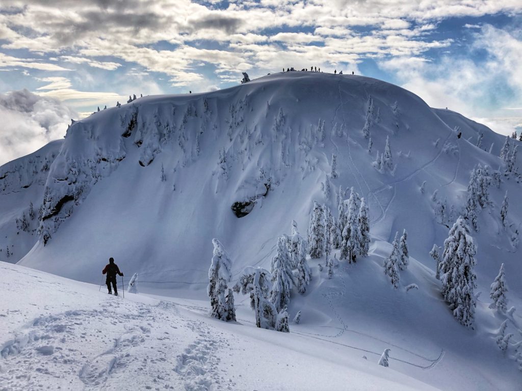
A hike to Mount Seymour offers an opportunity to do three peaks – Pump Peak (first), Tim Jones Peak (second) and Mount Seymour. Doing this hike in winter is more challenging, and there are avalanche hazards as well.
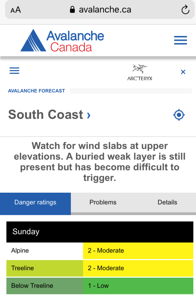
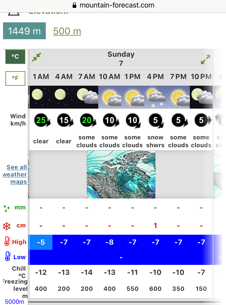
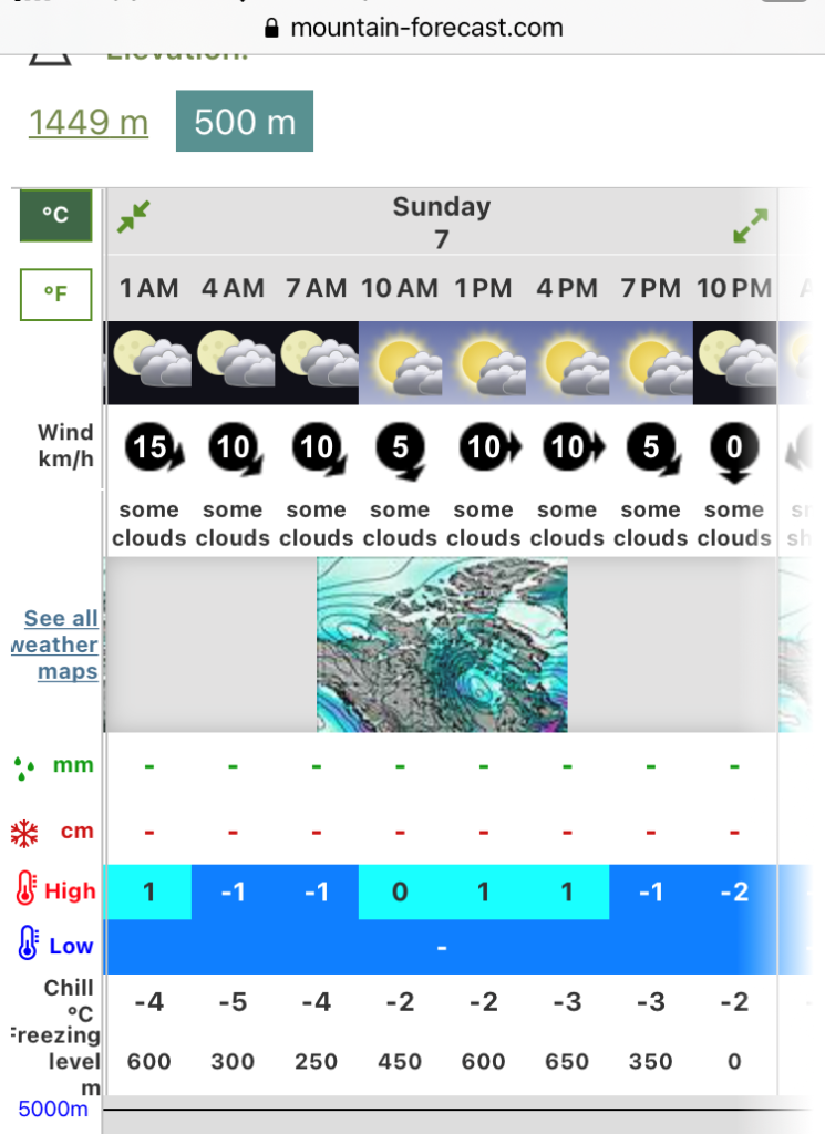
I did my AST-1 course in January. Since then, I have been reviewing the Avalanche forecast before my trips. Avalanche Danger rating was Moderate/Moderate/Low for the South Coast, and the weather forecast for February 7 was good.
I contacted Scott, and he was available for the hike. Weekdays, Scott has an early start for work, so he preferred a late start at 8 am. It was perfect as it was my daughter’s birthday the day before, and I was not planning on getting up early the next day.
Since we had a late start, I knew the parking lot would be busy when we arrived on Mount Seymour. I had to park even lower than I did for the Dog Mountain hike, and Scott had to park in the parking lot P1.
Scott was kind enough to lend me his extra avi kit. By the time we sorted out our gear, checked the transceivers and hiked to the trailhead, it was 9 am.
Pump Peak
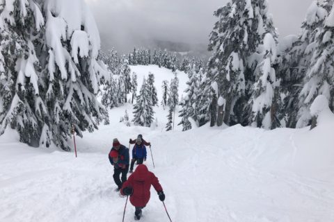
The trail to Pump Peak is a popular snowshoe trail, and the snow is well packed. Scott and I hiked with our mountaineering boots and didn’t see a need for snowshoes.
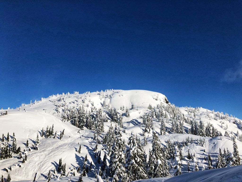
It was a beautiful day, and it was busy on the trails. About half an hour into the hike, we saw some people taking the direct approach up to Pump Peak. We continued on the snowshoe trail.
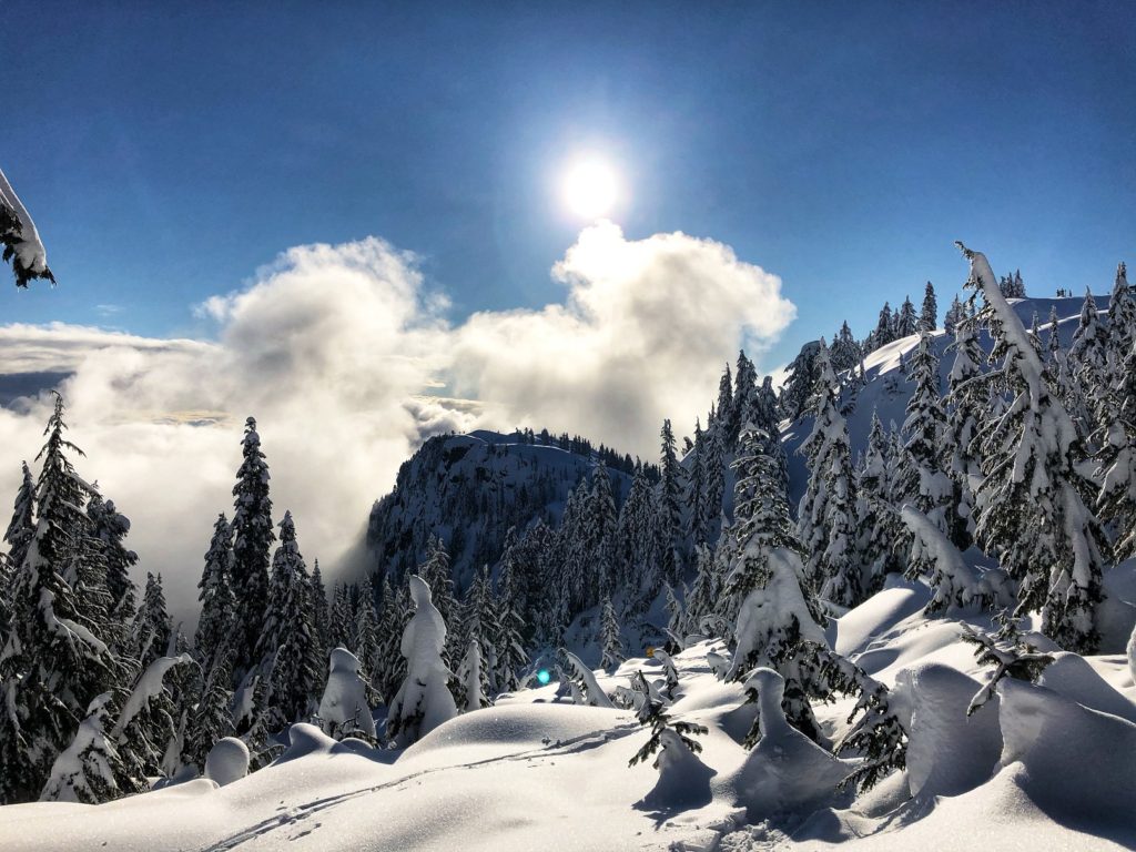
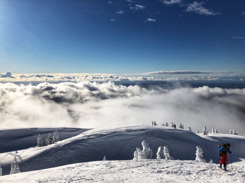
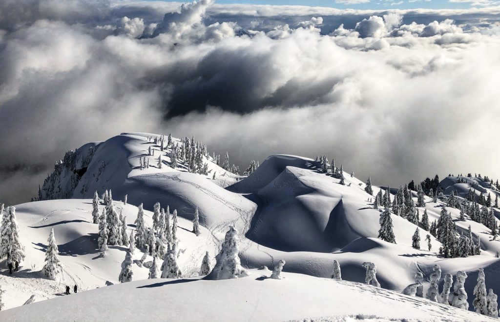
An hour into the hike, we reached Pump Peak (First Peak). Clouds limited the visibility, but we had some excellent views.
Tim Jones Peak
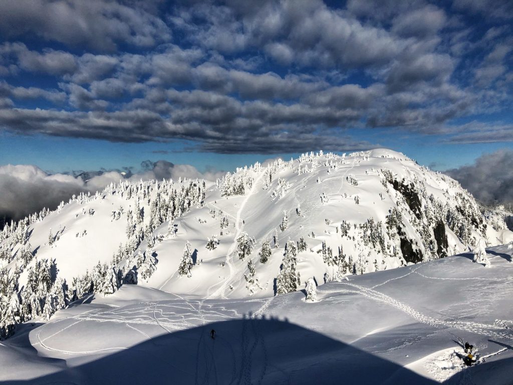
To our North, we had clear views of Tim Jones Peak and Mount Seymour right behind it.
As people were coming up the final steep section, Scott asked if there was an alternate way to get down. I checked on the other side but preferred to go down the way we came up. By the time I turned around, Scott was already down on the trail.
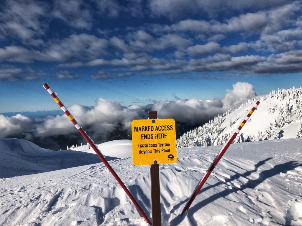
The snow on trail to Tim Jones Peak was not well packed, but we continued without snowshoes.
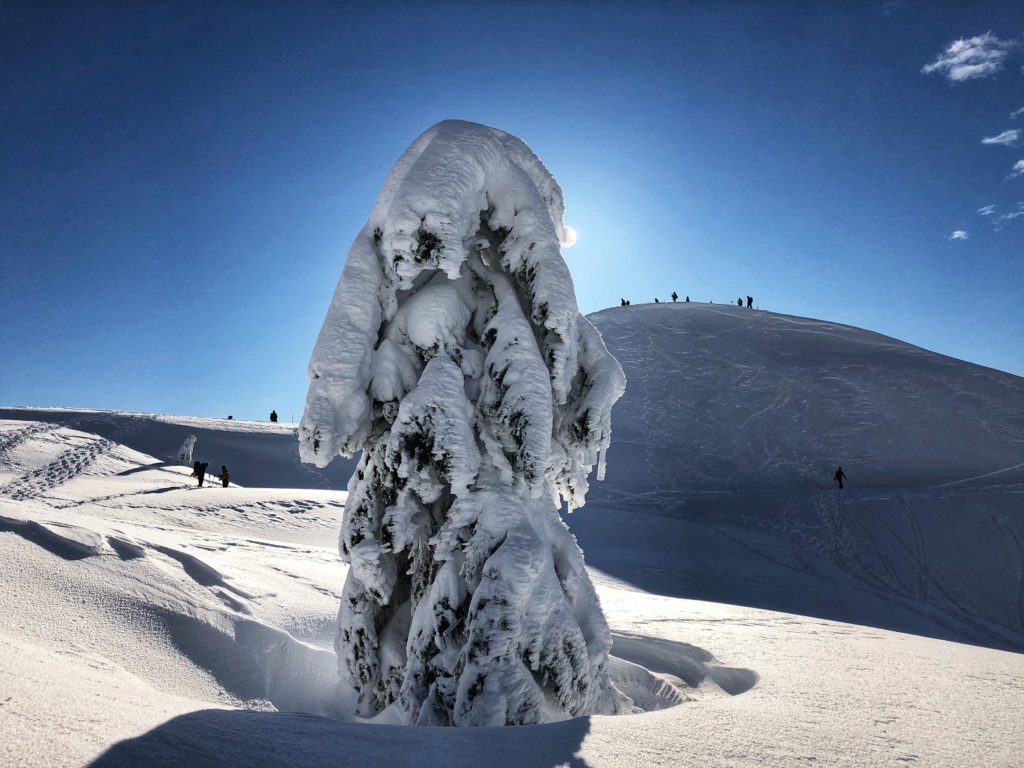
It took us another 15 minutes to reach Tim Jones Peak. From the summit, we saw some skiers making their way to Mount Seymour.
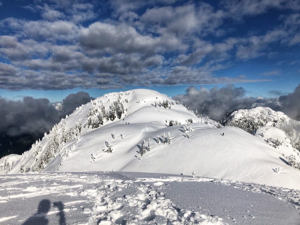
Mount Seymour Winter Trail
For our hike ahead to Mount Seymour, Scott checked for a route that drops down North of Tim Jones Peak. Since we both had not taken this route before and were not familiar with any cornices or other risks, we decided to check out the summer trail that has a traverse just below the summit to the West.
We met another hiker named Eugene who was coming up the gully. He had tried to find an alternate route to Mount Seymour but didn’t find any. There was no sign of hikers taking the traverse, so he hoped someone else would go first. I had done this traverse a couple of times before and thought of giving it a try. We got our ice axe out and put on our helmet.
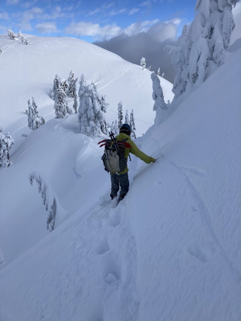
The first few steps, I stomped hard to get a feel for the snow. Scott has done AST-1 and AST-2, so we had a quick chat about the conditions and felt good. At one point, the slope was a bit icy and we had to kick hard a couple of times. In about five minutes, we made our way down the slope.
As we got to the other side, we saw a trail up the North slope of Tim Jones Peak. Other hikers had likely used this trail instead of the traverse and it looked safe. We transitioned into snowshoes and started hiking towards Mount Seymour.
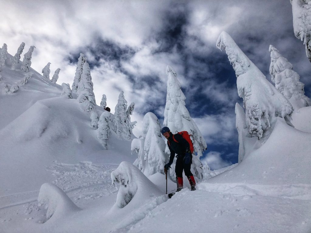
By 11 am, we were on Mount Seymour. It had taken just over two hours from the trailhead to reach Mount Seymour summit.
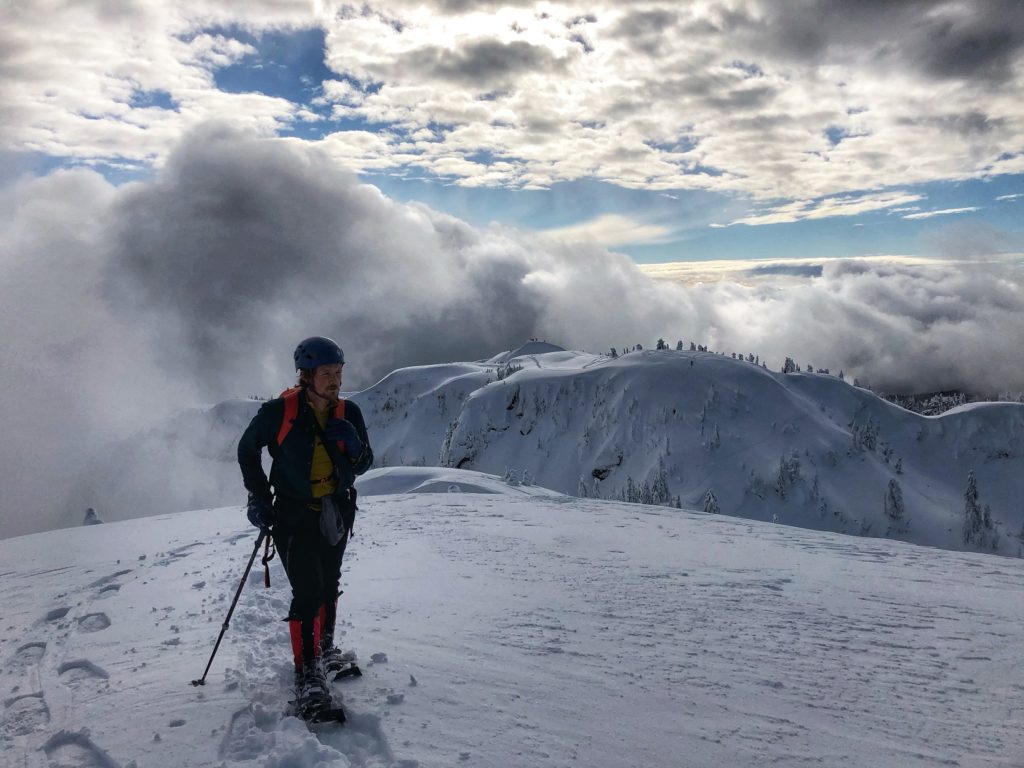
Tim Jones Peak North Slope
After a 15 minute break, we started making our way back. This time we took the direct trail up the North slope of Tim Jones Peak. It was quite steep but manageable.


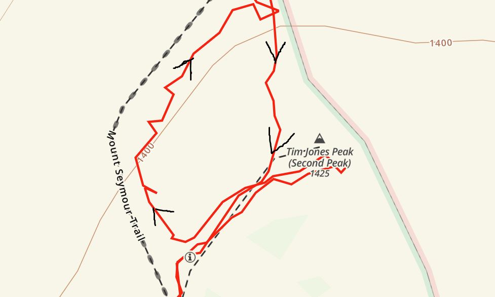
If you are not familiar with this area and would like to use a GPX track, here is the link to our route on GAIA GPS. The image below is a snapshot from GAIA GPS and the arrows indicate our traverse out and the direct route up on our way back.
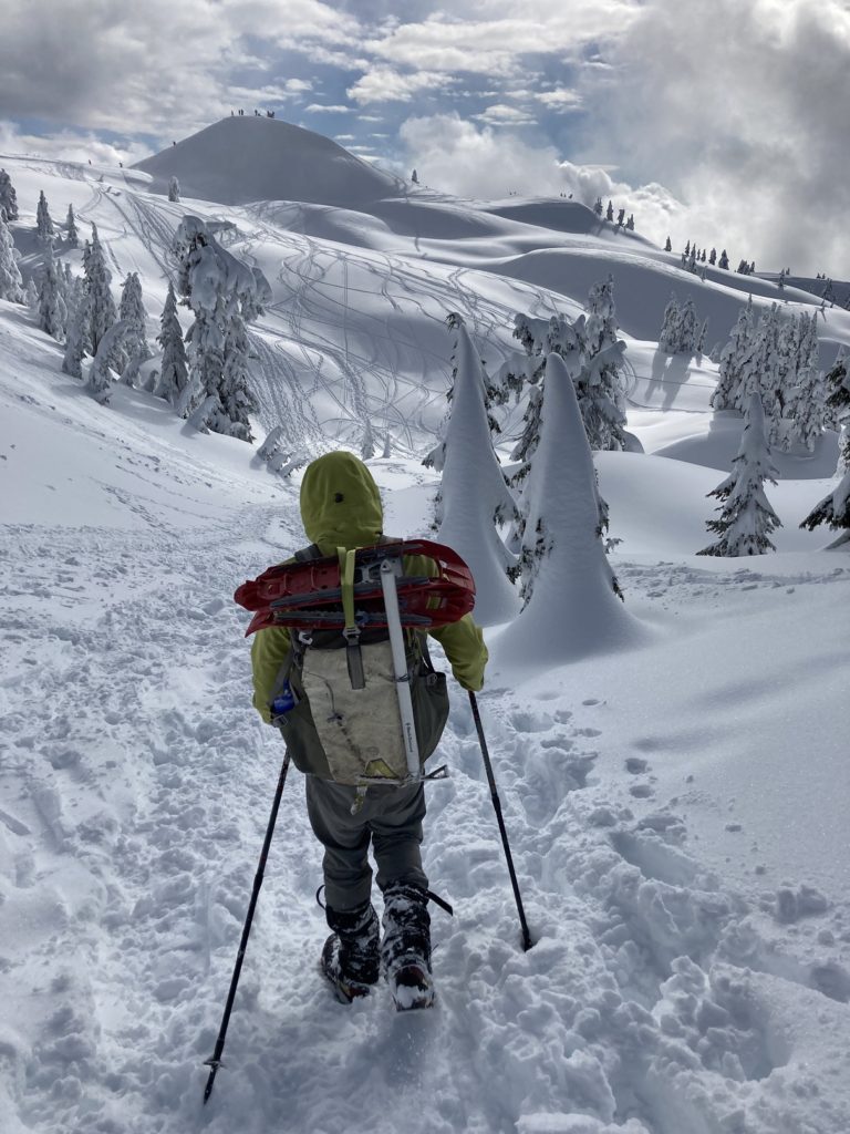
Past Tim Jones Peak, it was an easy hike, and we were back at the trailhead before 1 pm. Considering the hike to and from the parking lot, we had hiked about 11.5 km with close to 700 m elevation gain/loss.
Resources:
Mount Seymour Provincial Park: BC Parks
Avalanche Conditions: Avalanche Canada
AdventureSmart: Trip Planning
Trail: GAIA GPS
Weather: Mount Seymour Resort | Mountain-Forecast
Disclosure: I am not affiliated with any of the above organizations.
Did you enjoy reading this post? Please subscribe to get weekly updates. Thank you!



Wow, what amazing views! I’m not sure if I’ll ever be as adventurous as you, but it’s nice to see the views via your blog. It’s wonderful that you can take advantage of so much of the natural beauty in the Vancouver area.
Thank you Chrissy for your comment. It has been an amazing winter so far and have enjoyed exploring our backyard.