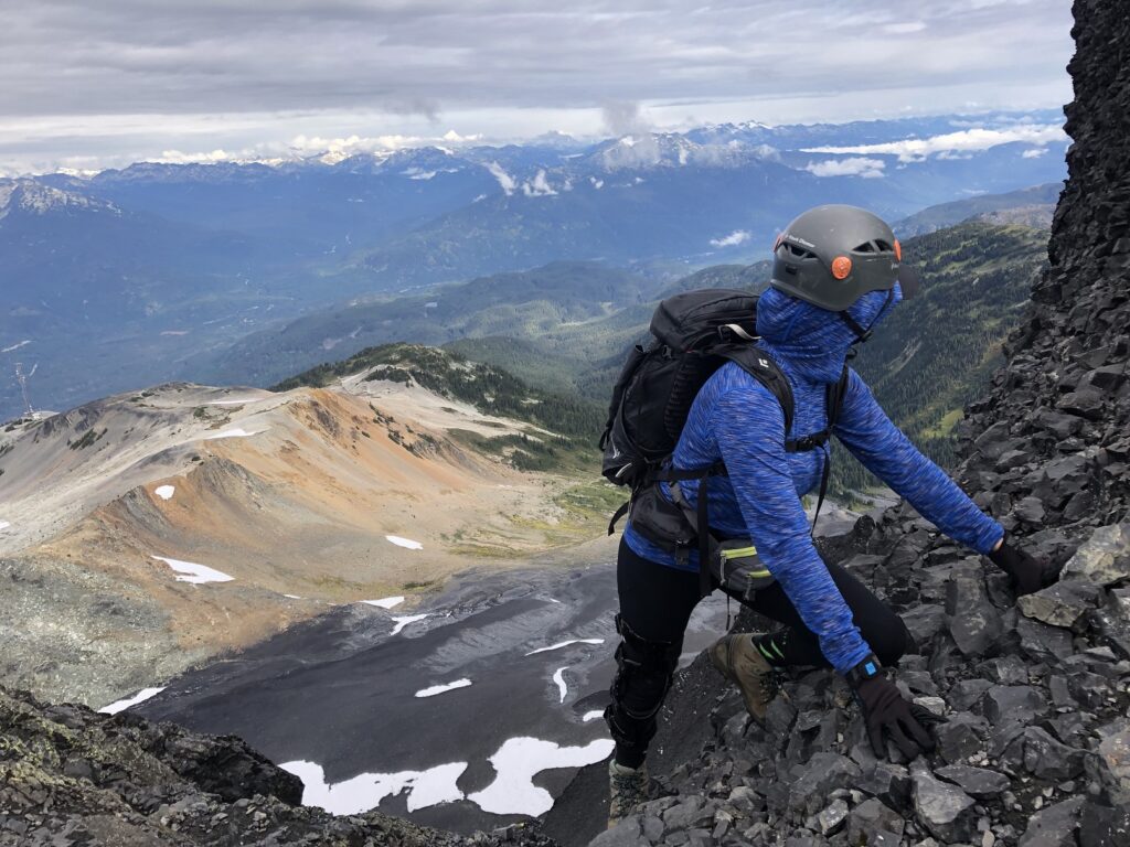
Trip Date: Sep 17, 2022
Black Tusk (2319 m) is a prominent volcanic peak located in Garibaldi Provincial Park. I did this scramble with Anna in September last year; it was a fun trip.
Garibaldi Lake-Taylor Meadows Trail
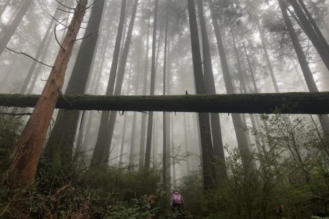
We left Vancouver early and started our hike from Rubble Creek Trailhead at 6:20 am. End of August (2022), I had done Panorama Ridge Hike with Gaurav and Indrani. For the most part, Black Tusk and Panorama Ridge follow the same trail.
It took us just over an hour and thirty minutes to reach the Taylor Meadows and Garibaldi Lake Trail junction. After a short break, we took the trail to Taylor Meadows, and 20 minutes later, we were at the Taylor Meadows Campground.
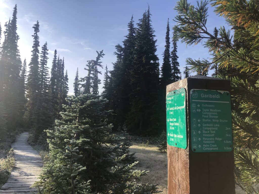
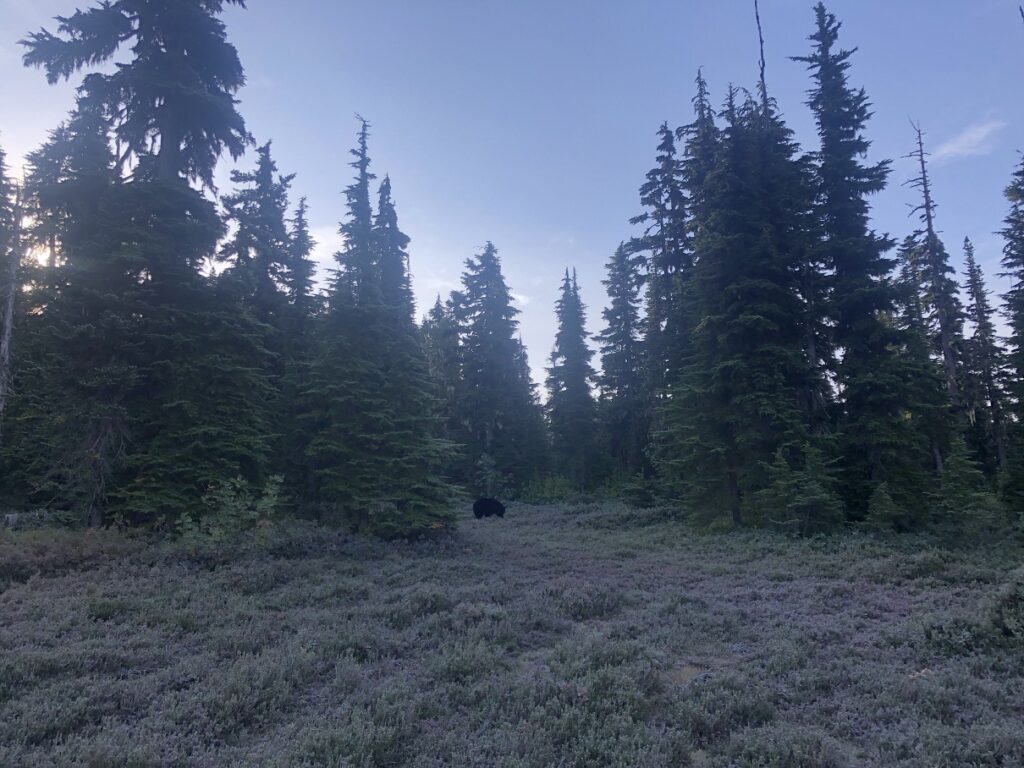
As we made our way to the Black Tusk Meadows, other hikers alerted us to a Black Bear to our right.
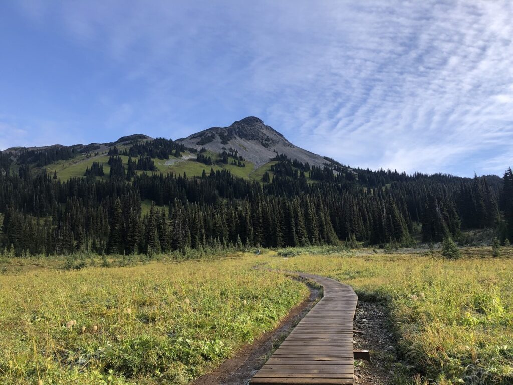
It was still early in the season for the wildflowers, but the view from the boardwalk at Black Tusk Meadows was still beautiful.
Black Tusk Trail
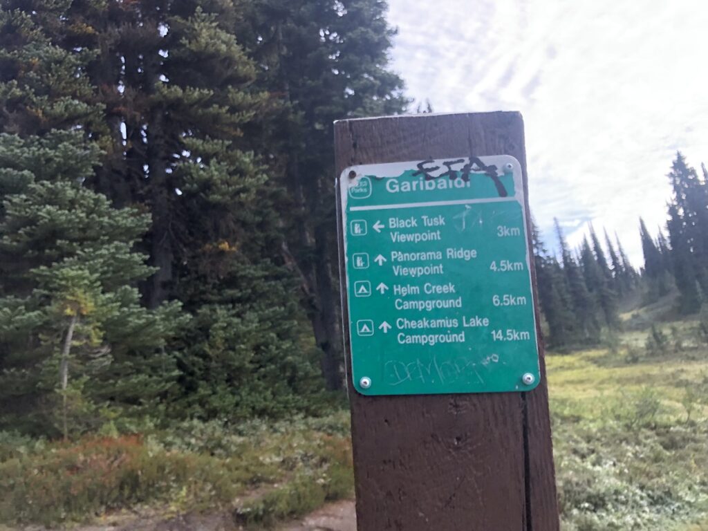
Past the Black Tusk Meadows, we reached the junction of the Black Tusk trail (left) and Panorama Ridge/Helm Creek trail (right). From this junction, it was 3 km to the Black Tusk viewpoint.
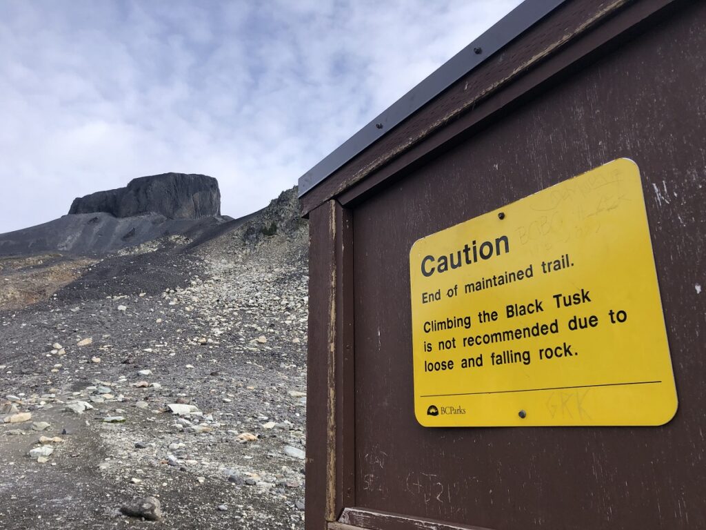
It took us about 45 minutes to reach the viewpoint, the end of the maintained trail. From here, we also had a partial but beautiful view of the lake.
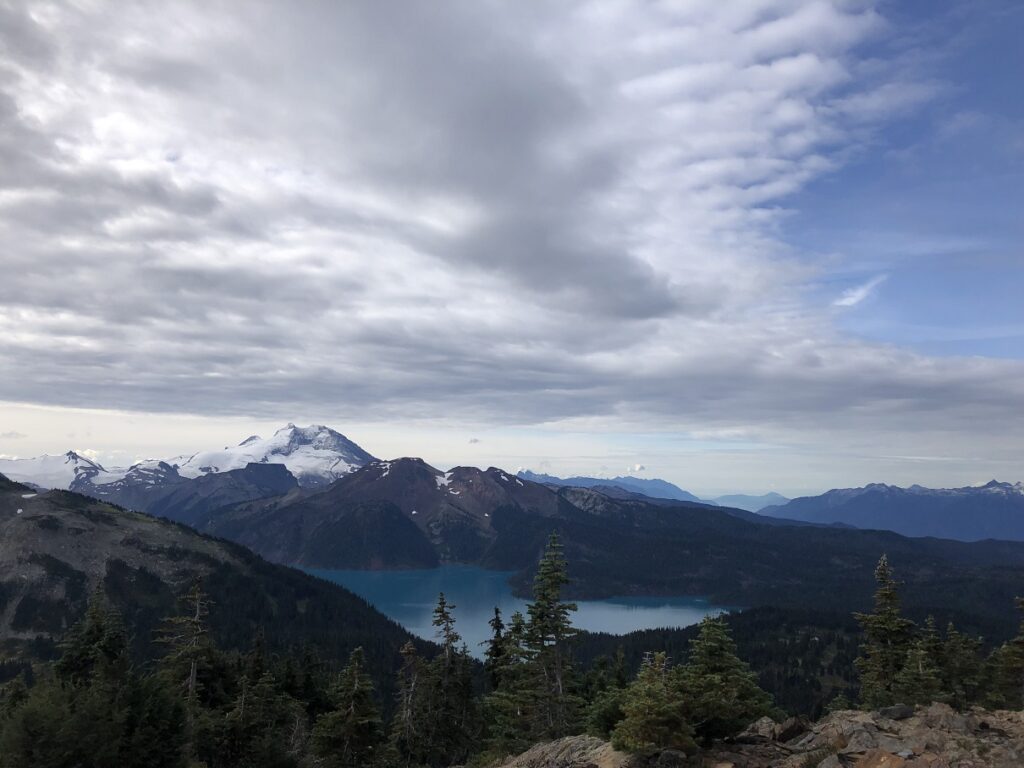
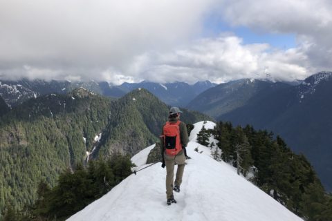
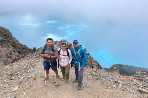
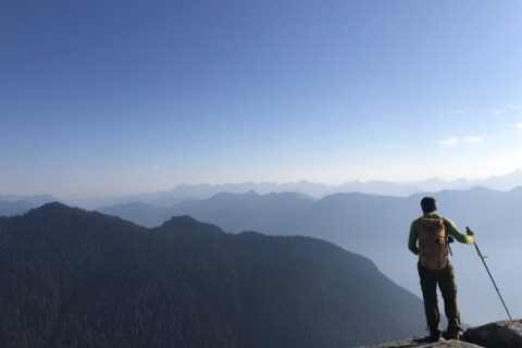
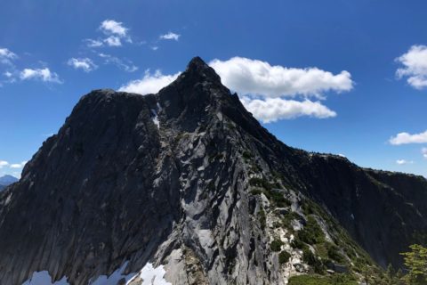
After 15 minutes of hiking over the rocky terrain, we arrived at a ridge with a fantastic view of the Black Tusk and its surroundings. Here we met a hiker who had camped at Helm Creek the night before, and we were surprised to hear that it had snowed at Helm Creek.
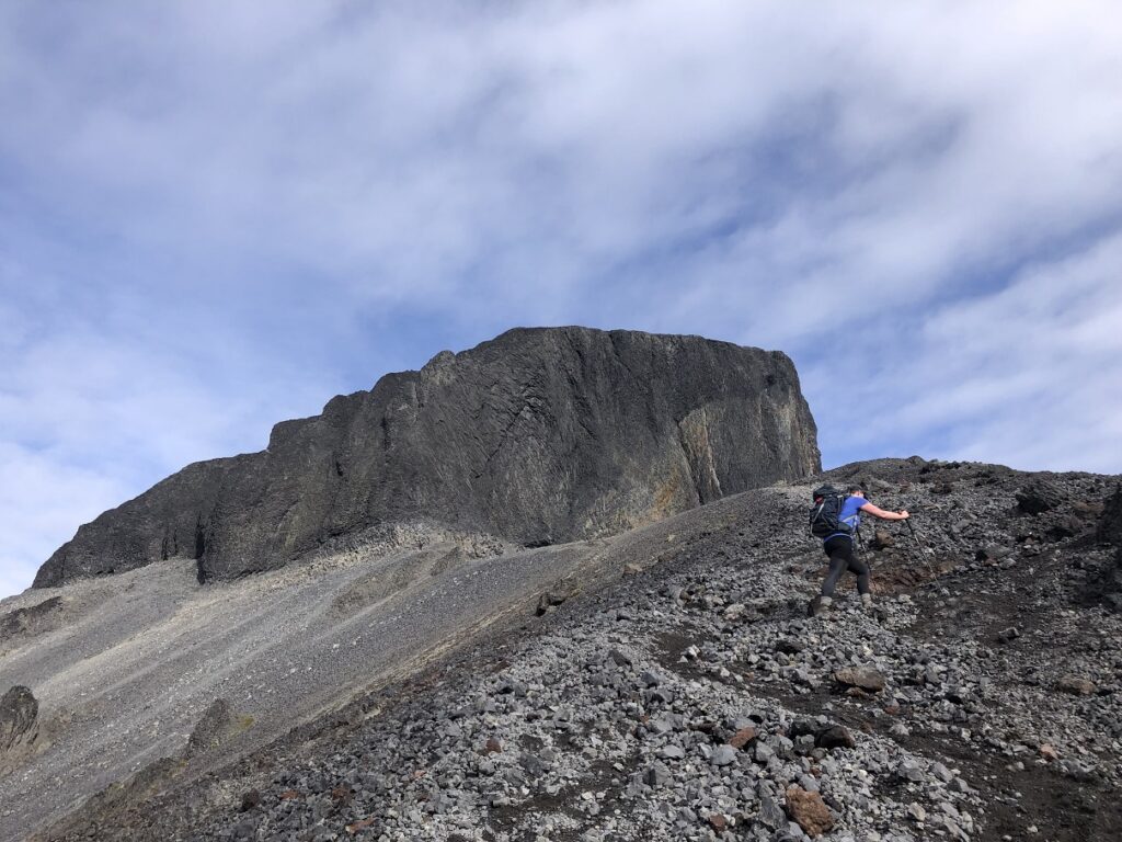
Anna suggested that we put on our helmets, and it was a good idea as some loose rocks came down the mountain as we traversed along the South side.
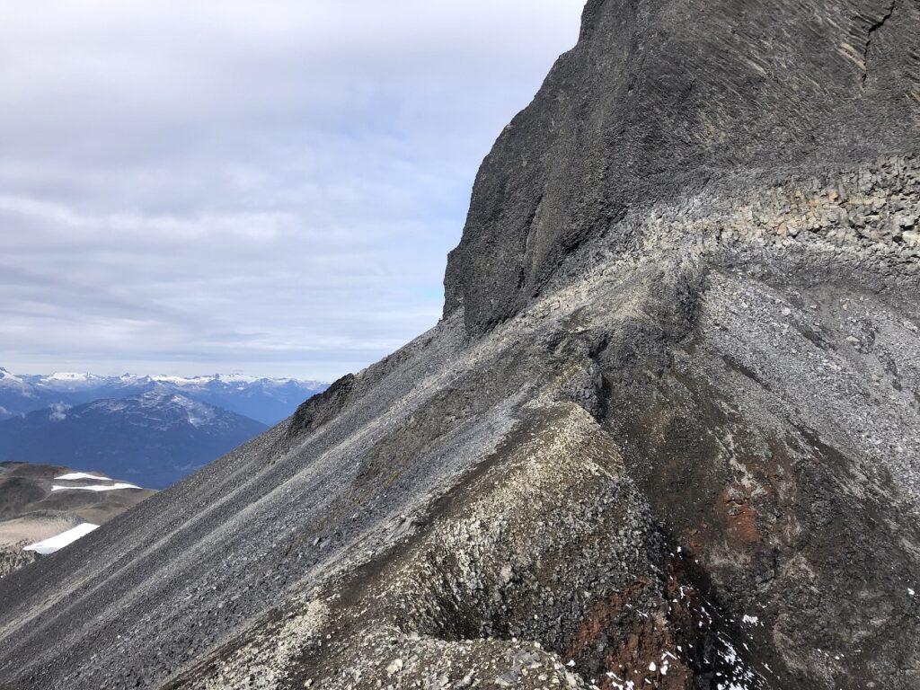
Black Tusk Scramble
The final section of the hike to the summit is a scramble. There were at least two potential routes to go up. We took the route where we saw some flagging at the end of the traverse.
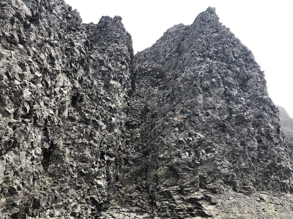
The route up might not be obvious at times, but the flagging (pink, purple ribbons) helps to stay on track. It is a Class 3 scramble over loose rocks.
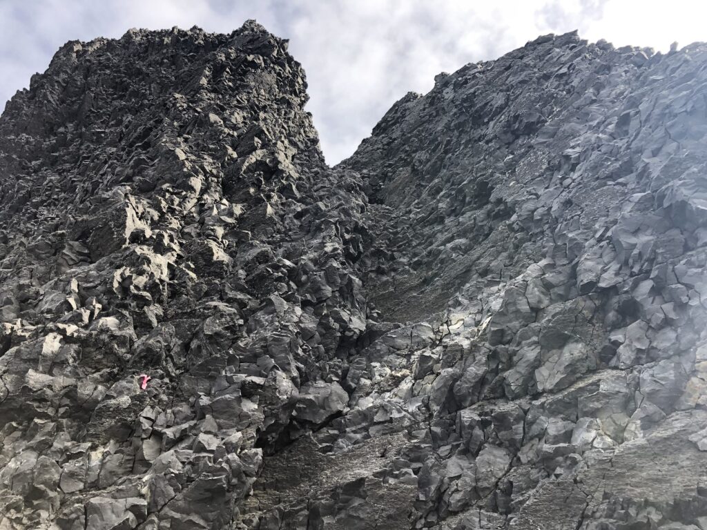
It was 100 m of elevation gain, and it took us about 20 minutes to reach the false summit.
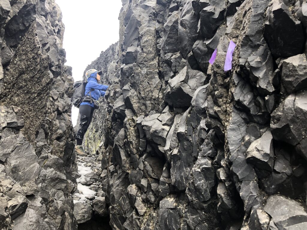
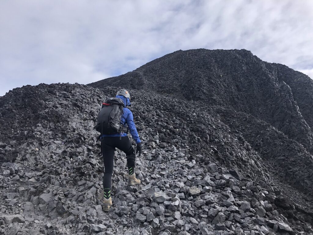
To arrive at the actual peak would require us to rap/climb down to the notch and then go up a sketchy climb to the top. We didn’t have the gear and had no plans to go to the true summit.
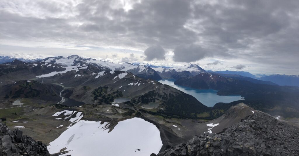
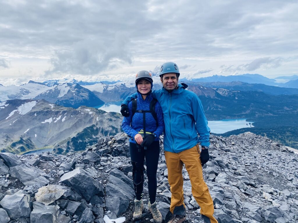
The view from the top of Black Tusk is breathtaking and worth the effort. After a short snack break, we made our way down.
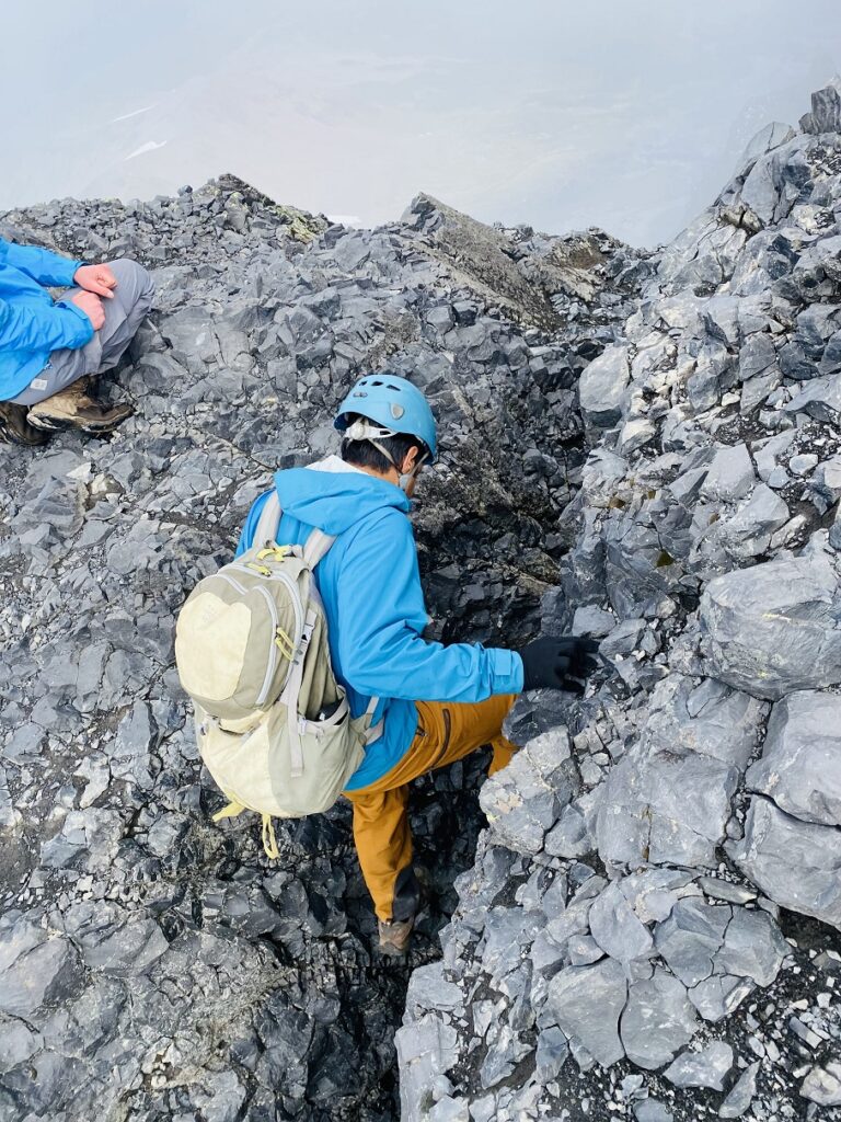
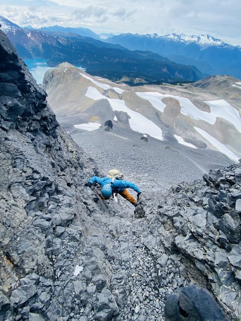
Black Tusk Geology –
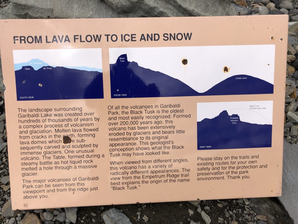
We were back at the parking lot around 2 pm. It was around 28 km round trip with about 1750 m of vertical gain and took us just over 7.5 hours. This was my second trip with Anna this year after Wedge Mountain and another amazing day out in the mountains.
Territory Acknowledgement
I would like to acknowledge that this trip took place on the unceded territory of the Coast Salish peoples, including the territories of the xʷməθkwəy̓əm (Musqueam), Skwxwú7mesh (Squamish), and Səl̓ílwətaʔ/Selilwitulh (Tsleil-Waututh) Nations. I commit to learning about Indigenous peoples and issues and making reconciliation an ongoing effort.
Source: Native-Land Pronunciation Guide: First Nations.info
Resources:
First Nation Sites: Musqueam | Squamish | Tsleil-Waututh
Black Tusk Trail: Vancouver Trails | Outdoor Vancouver
Weather: Yr.No | Windy | SpotWx
Leave a Trip Plan: BC Adventure Smart
Disclosure: The links I have shared in the post and under the Resources section are not Affiliate Links.
Did you enjoy reading this post? Please subscribe to get weekly updates. Please share your feedback in the comments section below. Thank you!


