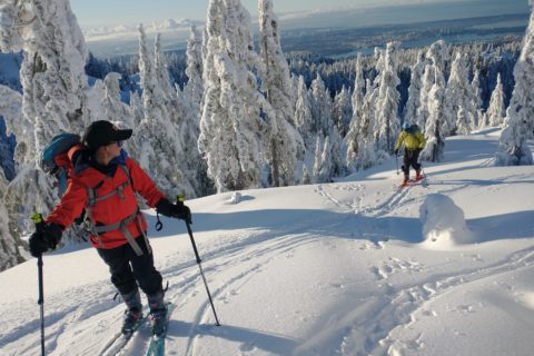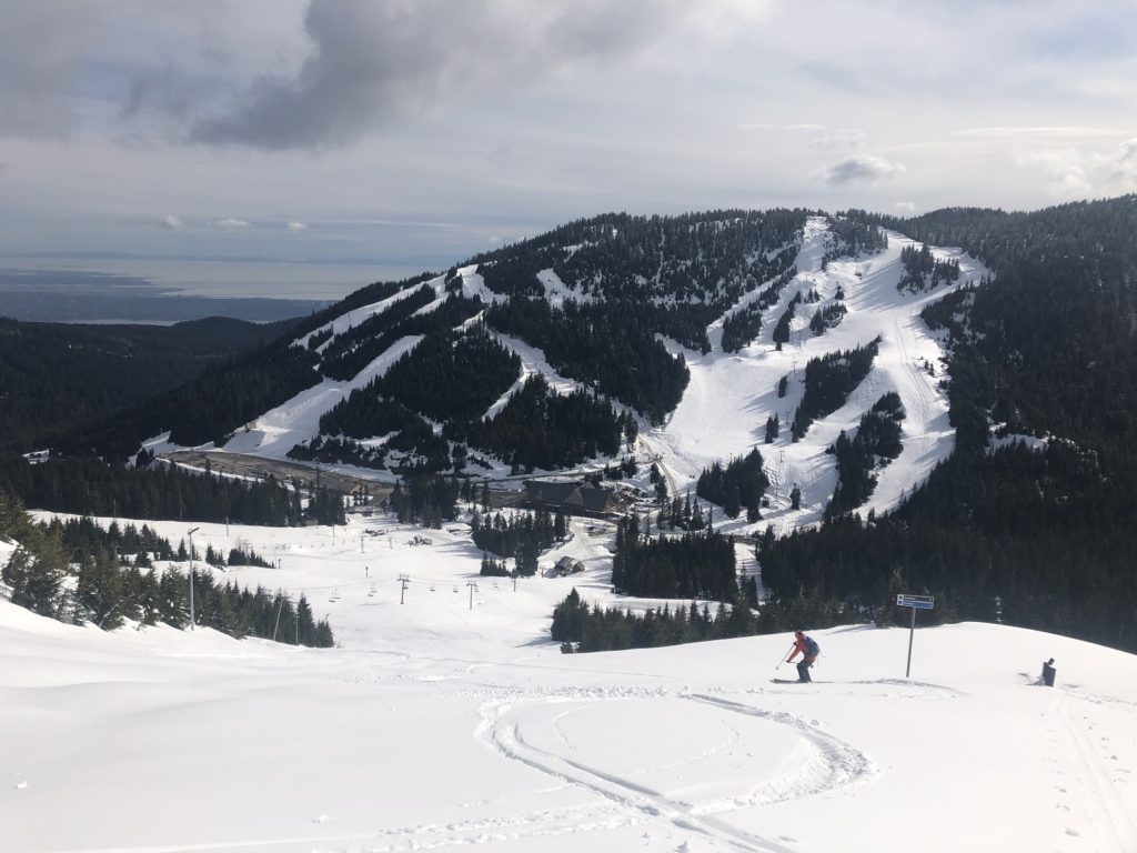
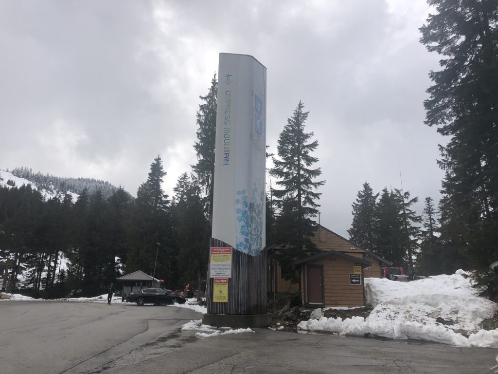
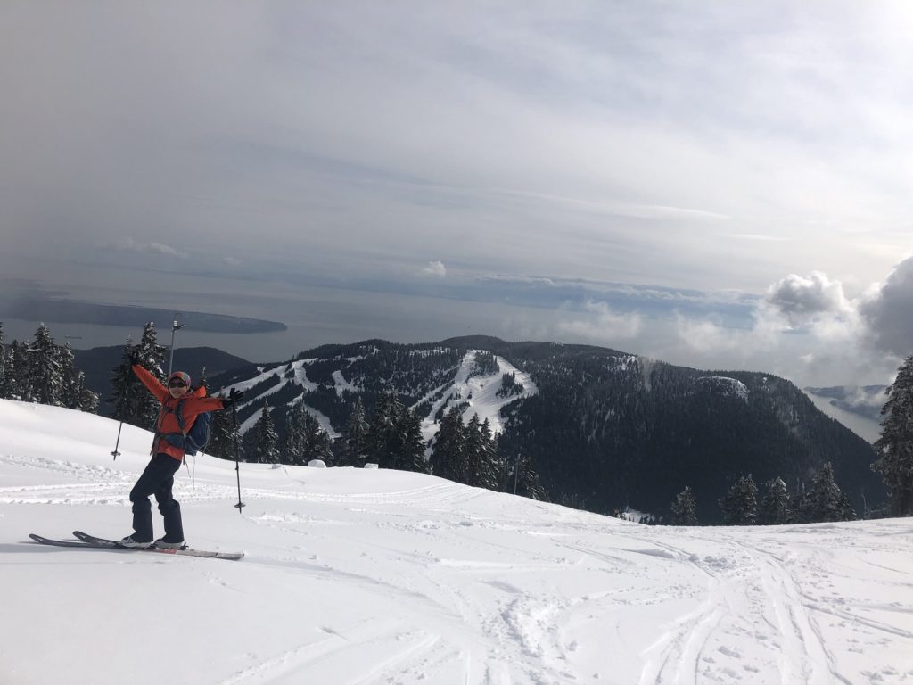
Cypress Mountain Resort closed for skiing last month. However, there is still a good amount of snow on the mountains, and it makes for a good after-work backcountry skiing workout at the resort. Lily had already made a few trips, and I joined her last Friday. The plan was to skin up to Mount Strachan’s south summit and ski down the runs on the mountain’s southwest side.
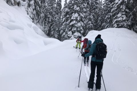
We parked at the drop-off area and made our way to the Runway (green run) under the Easy Rider Quad chairlift. Beyond the top of the chairlift, we continued on Collins (another green run).
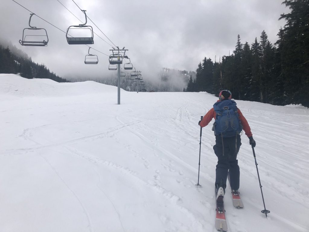
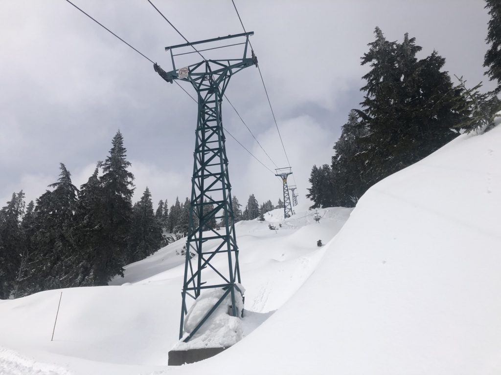
After about 30 minutes, we took the direct path up Hutch (a blue run) and joined Collins again. Soon we had the top of Lions Express chairlift to our left.
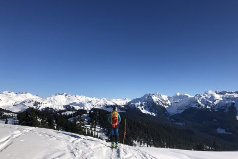
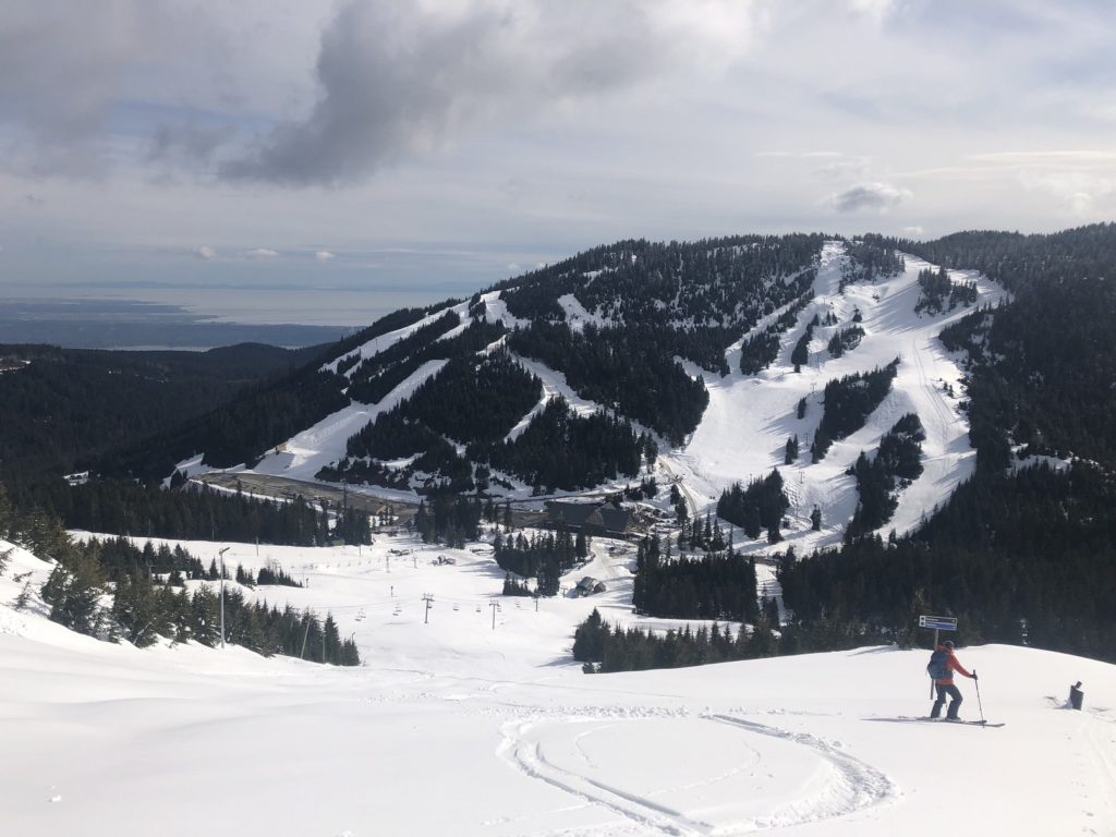
From here, we continued up on T-33 (blue run) and arrived at Sky Chair, which is the highest point accessible by a chairlift on Cypress at 1430 m.
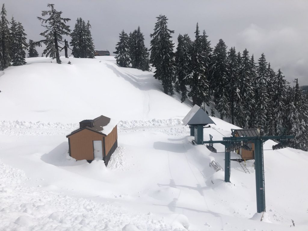
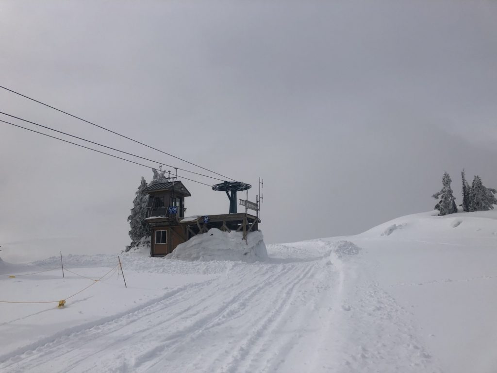
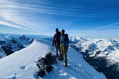
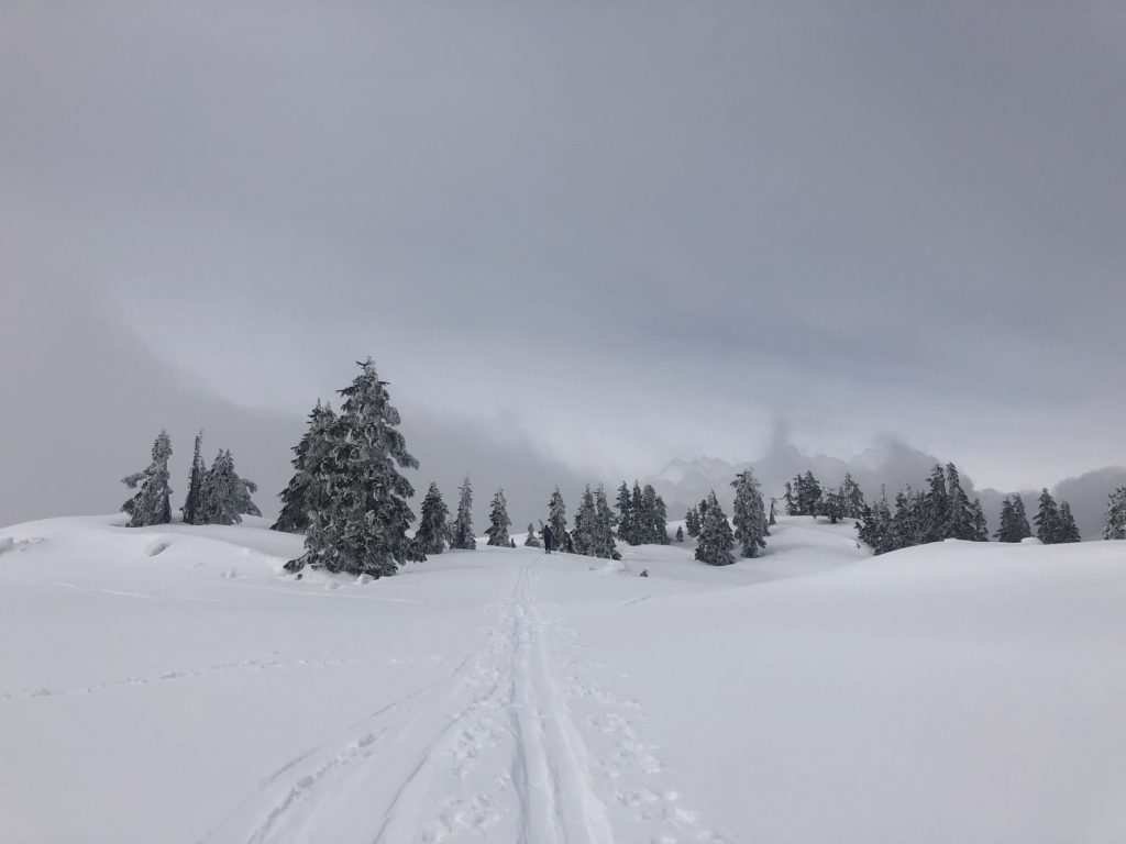
Mount Strachan’s south summit was just a few minutes from here. It took us about an hour and ten minutes to get up to this point from the trailhead. Unfortunately, clouds rolled in, so we took a long break hoping for better visibility.
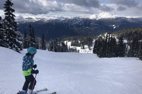
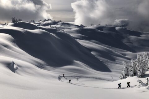
T-33, Horizon and Rainbow
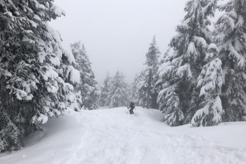
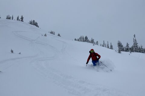
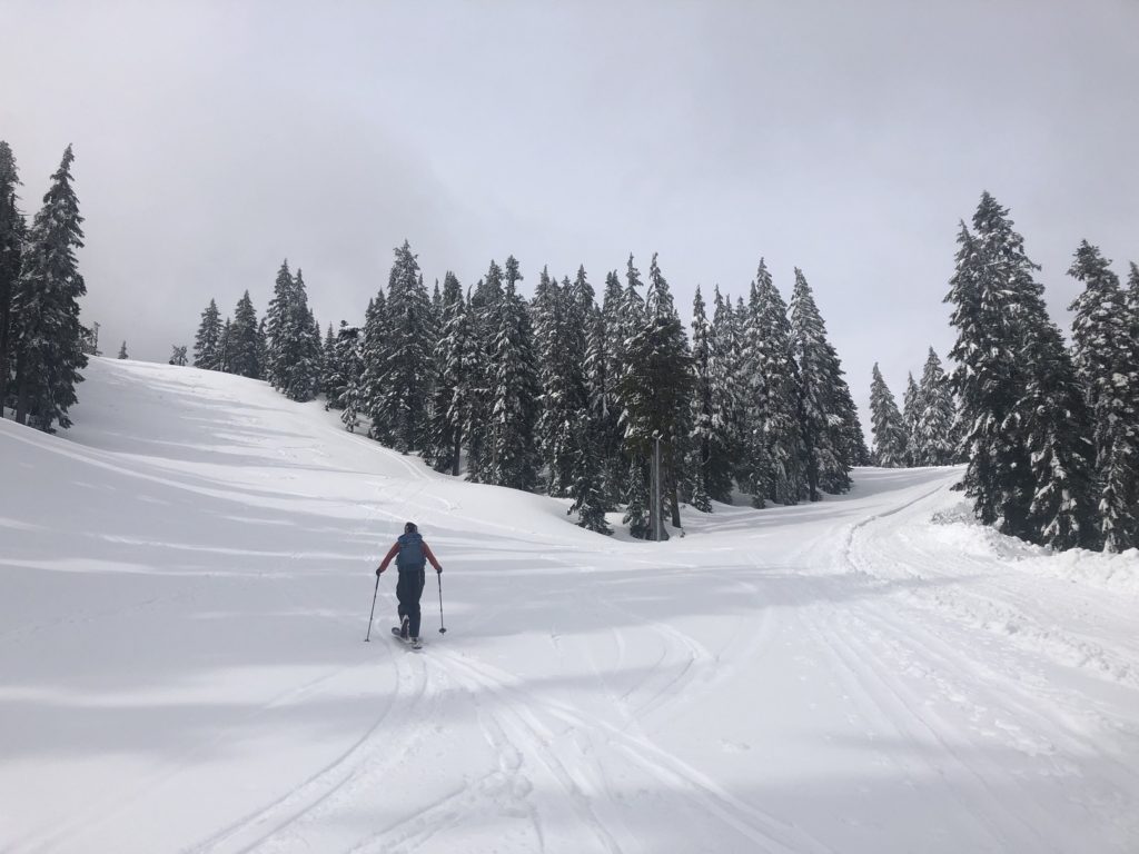
After a twenty-minute break, we started our descent.
Our first run was down T-33. Things seemed to be going well when I face-planted into the snow. One of my skis had dug in and threw me off. My 22 lb backpack gave me some additional momentum for the face plant. Lily suggested I lean back, and that worked.
Once down the T-33, we traversed to the top of the Lions Express chairlift. From here, we came down Horizon (another blue run) and finally took the Rainbow (black run). The snow was heavy and sticky from recent rain, but I will take these conditions in May. Overall, it was a good workout with close to 550+ m vertical with a 22 lb. backpack.
Territory Acknowledgement
I would like to acknowledge that this trip took place on the unceded territory of the Coast Salish peoples, including the territories of the xʷməθkwəy̓əm (Musqueam), Skwxwú7mesh (Squamish), Stó:lō and Səl̓ílwətaʔ/Selilwitulh (Tsleil-Waututh) Nations. I commit to learning about Indigenous peoples and issues and making reconciliation an ongoing effort.
Source: Native-Land Pronunciation Guide: First Nations.info
Resources:
GPX: Mount Strachan South Summit (our tracks)
Cypress: Resort Website | Parking Lot Map
Cypress Provincial Park: BC Parks Website
Backcountry Basics: G3 University | REI Beginner’s Guide
Avalanche Canada – Forecast | Avy Savvy – Online Avalanche Tutorial | Recorded Webinars
Weather Forecast – SpotWx | Yr.No
AdventureSmart – Trip Planning
Disclosure: The links I have shared in the post and under the Resources section are not Affiliate Links.
Did you enjoy reading this post? Please subscribe to get weekly updates. Please share your feedback in the comments section below. Thank you!