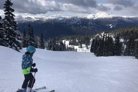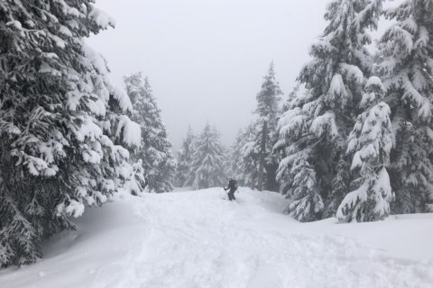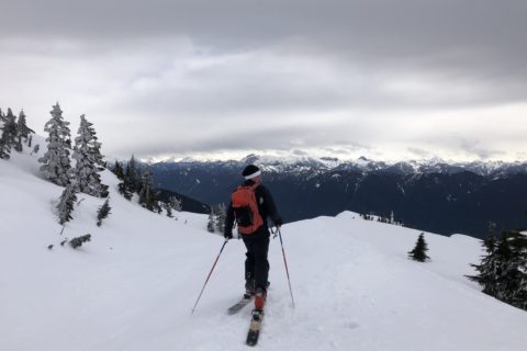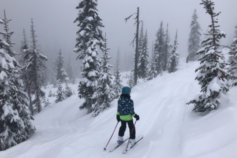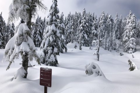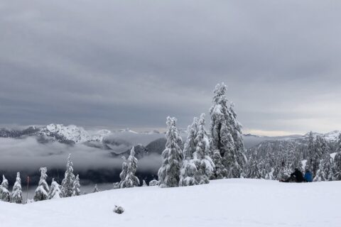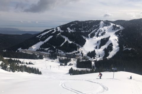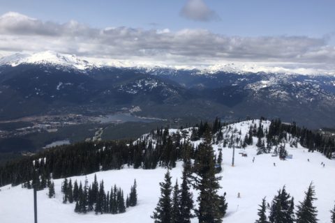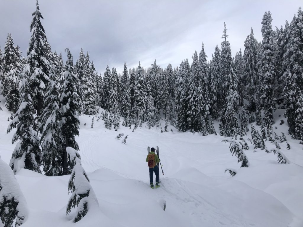
The weather forecast for February 5 looked great, so I got a Mount Seymour morning day use pass for Saturday (7 am – 12 pm). Oudi was available, and I am glad he could join. Now we could explore some backcountry terrain rather than stick to the trail going to Brockton Point.
Oudi and I arrived at the lower P5 parking lot on Mount Seymour around 7:15 am. Surprisingly, it was hard-packed snow, not what I expected after the snowfall couple of days back.
Territory Acknowledgement
I would like to acknowledge that this trip took place on the unceded territory of the Coast Salish peoples, including the territories of the xʷməθkwəy̓əm (Musqueam), Skwxwú7mesh (Squamish), Stó:lō and Səl̓ílwətaʔ/Selilwitulh (Tsleil-Waututh) Nations. I commit to learning about Indigenous peoples and issues and making reconciliation an ongoing effort.
Source: Native-Land Pronunciation Guide: First Nations.info
SAR Cabin Trail
We skinned along the Mount Seymour Road till the trailhead and then got on the Mount Seymour Trail.
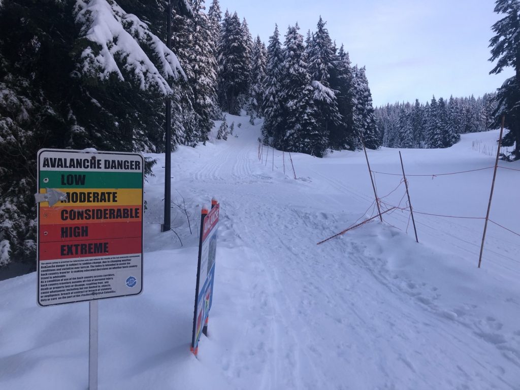
About 30 minutes in, we were at the junction of SAR Cabin Trail and Mount Seymour Trail. We didn’t have any specific plans for the day other than just exploring some new (to me) terrain. So we got off the Mount Seymour Trail and roughly followed the SAR Cabin Trail.
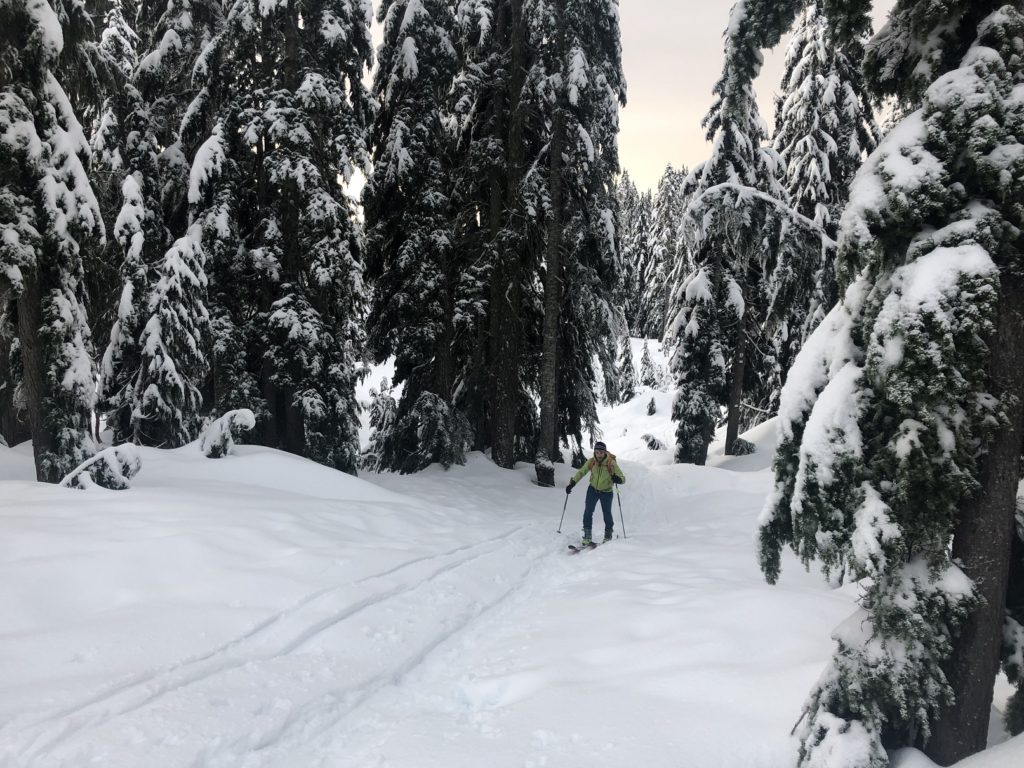
Soon, we were at a high point and did our first transition to ski down to an unnamed lake. Oudi went first, and I followed him. It was not elegant, but I managed to stay on the skis and didn’t hug any of the trees.
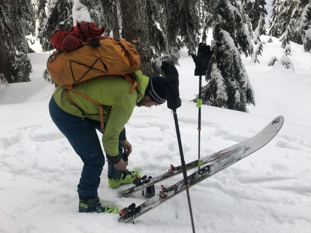
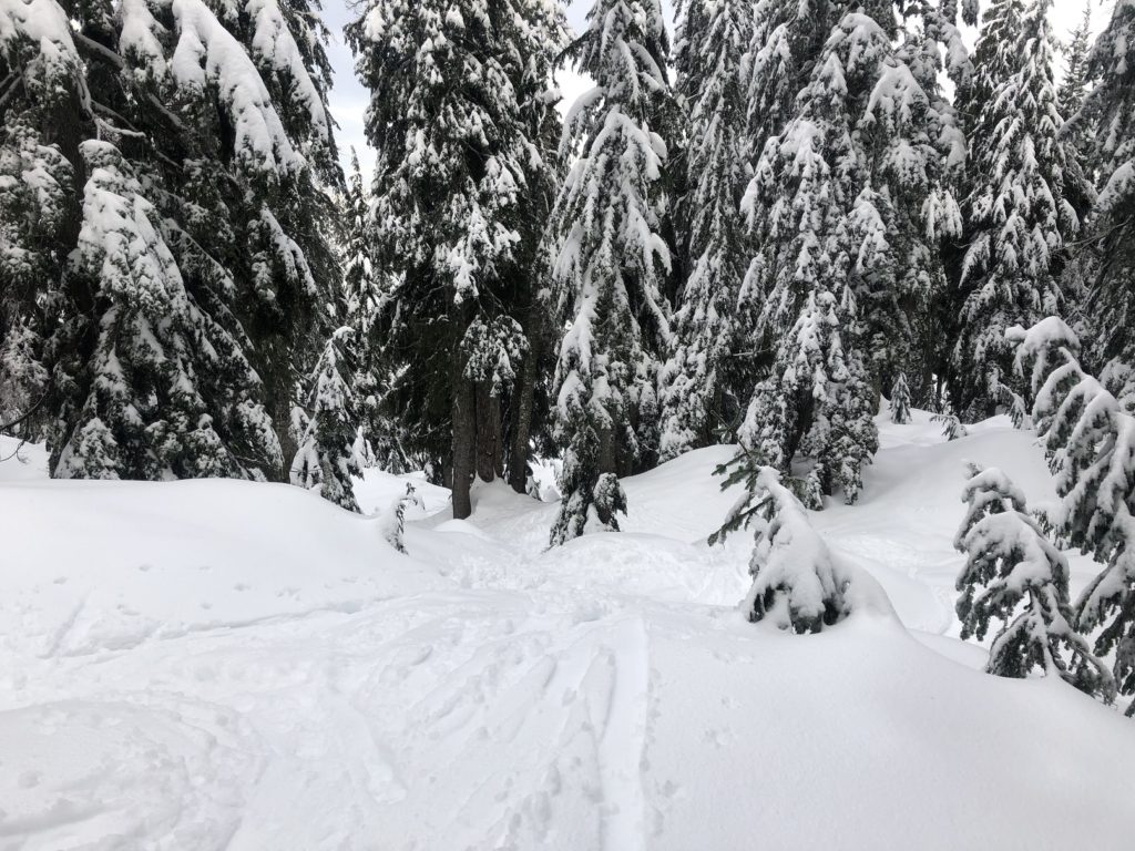
Once at the lake, I took out the phone and reviewed our location on the GAIA Maps app. It was 8:30 am, and we had to be back at the parking lot by noon. So, instead of continuing on the SAR Cabin Trail, we decided to make our way to the Suicide Bluff Route. From there, we would connect back on Mount Seymour Trail, skin up to Brockton Point and then ski down to the trailhead.
Hidden Lake
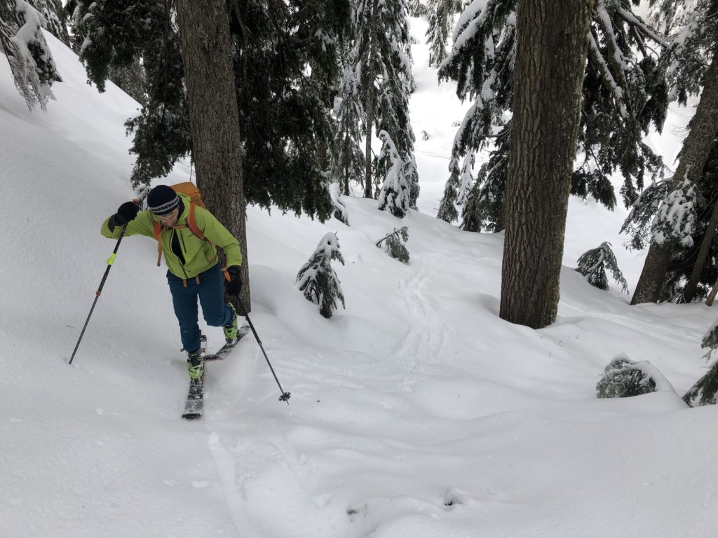
As we made our way from the unnamed lake to the Suicide Bluff Route, it was a good exercise in route finding. There were no skin tracks, so I would review where we had to go on the map and discuss our route options with Oudi. What is the easiest route across the slope? What are the hazards? We would get to a high point and then reassess our line of travel.
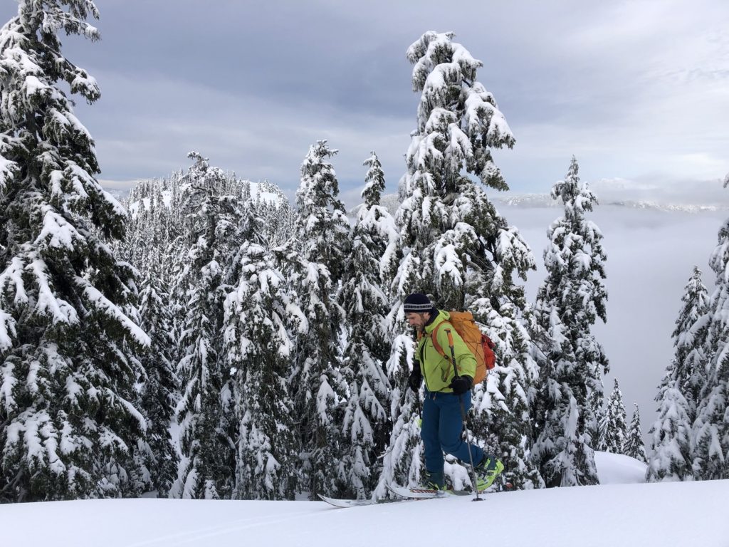
I sometimes found myself in steep terrain where sidestepping uphill was a better option. It was good practice for me as we got to do this a couple of times. Finally, we were on the Suicide Bluff Route. We transitioned back to ski mode. Based on the map, what we thought would be an easy slope ahead turned out to be a steep section (at least for me).
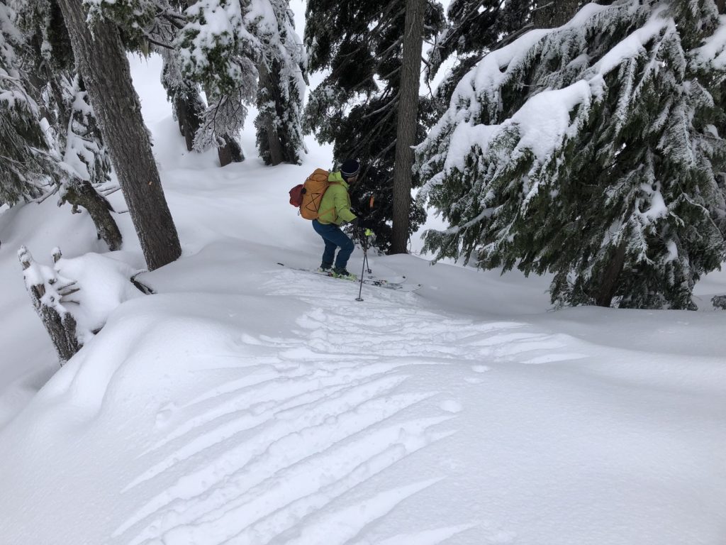
Oudi went first and sidestepped downhill till he found a gentle slope to ski down. I followed him cautiously and made it down to what we realized was Hidden Lake. We had no plans to come to this lake, but I was glad we were there.
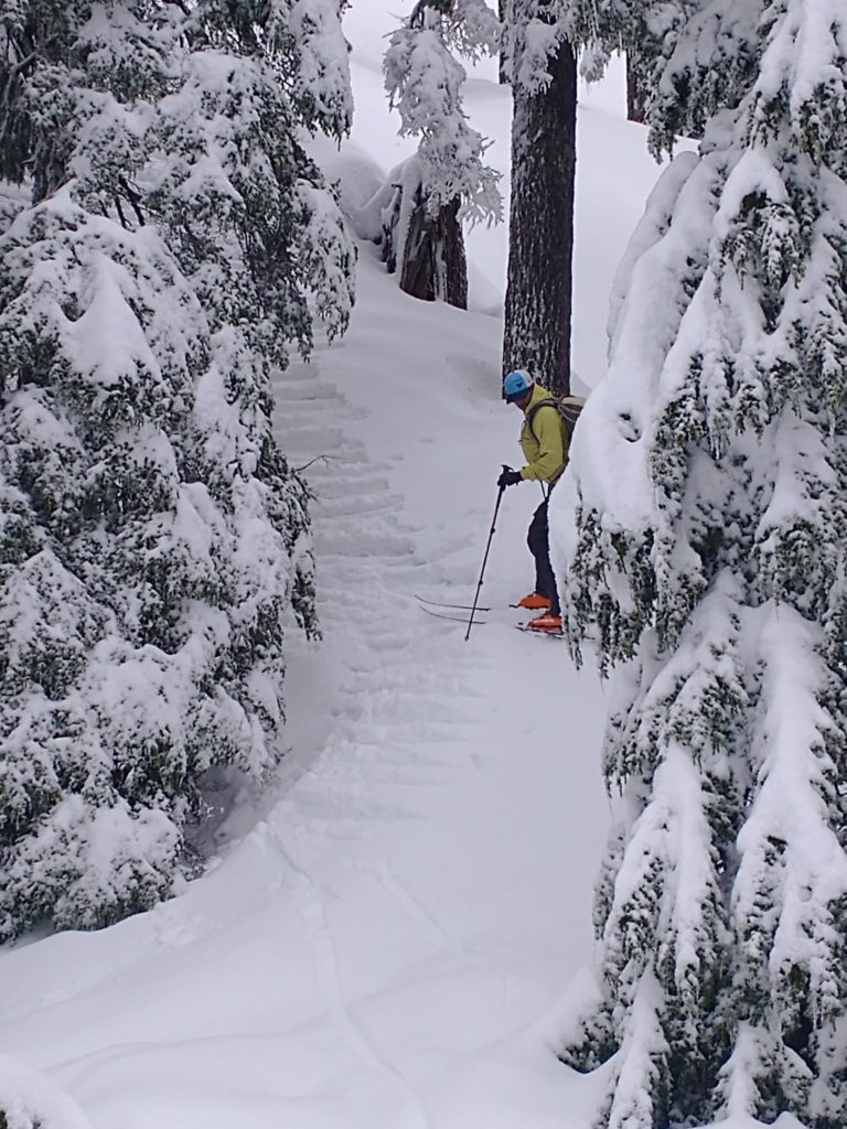
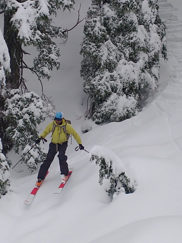
We made our way back to the Suicide Bluff Route and then to Brockton Point. Unfortunately, clouds had rolled in, so the visibility was limited, but it was still a beautiful day.
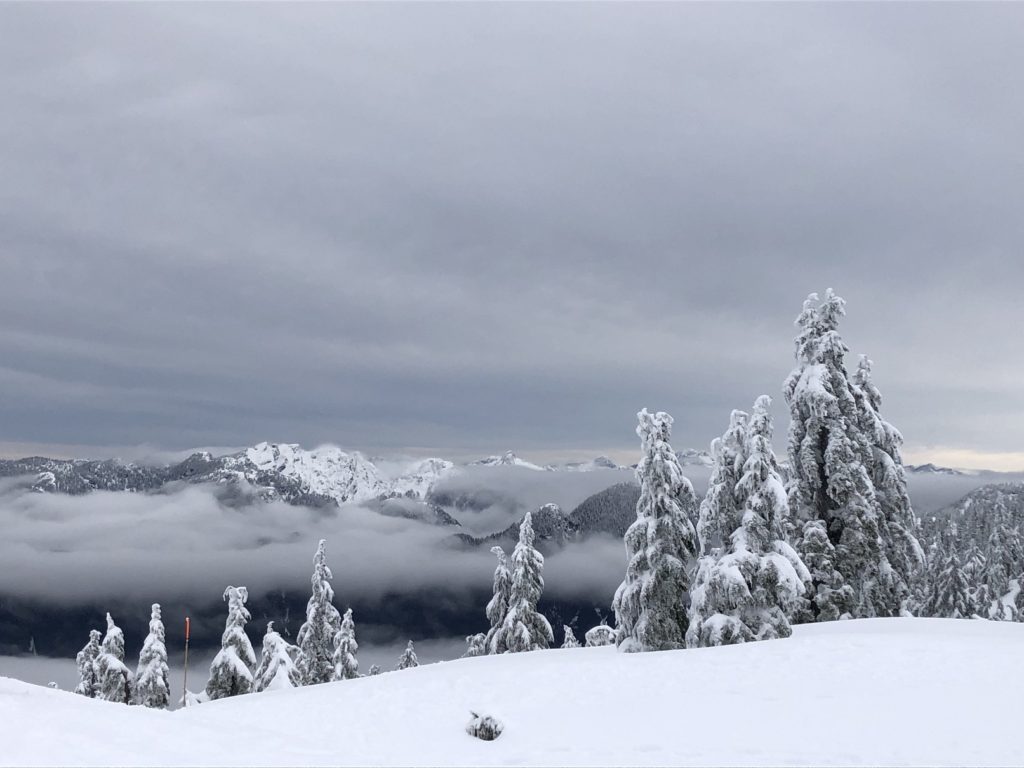
We skied down to the trailhead and were back at the car by around 11:15 am. It was a short trip, but thanks to Oudi got to practice route-finding, terrain assessment and some basic skills.
Resources:
Mount Seymour – BC Parks | Mount Seymour Resort
Avalanche Canada – Forecast | Avy Savvy – Online Avalanche Tutorial | Recorded Webinars
Weather Forecast – SpotWx | Yr.No
AdventureSmart – Trip Planning
Disclosure: The links I have shared in the post and under the Resources section are not Affiliate Links.
Did you enjoy reading this post? Please subscribe to get weekly updates. Please share your feedback in the comments section below. Thank you!
