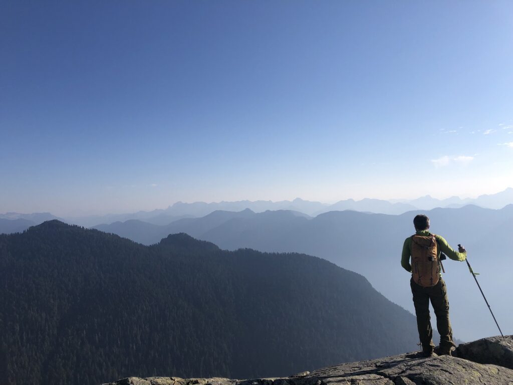
Last year in October, I did the Mount Elsay loop hike with Oudi and Ji-Seon. Mount Elsay (1419 m) is in Mount Seymour Provincial Park, north of Runner Peak. Here is a brief post on this hike.
Mount Seymour Trail
It was an early start for us, and started the hike at 5:30 am from the parking in front of the Enquist Lodge (Mt. Seymour Snow Tubing area). We took the Mount Seymour Trail, and about an hour and ten minutes into the hike, we were at the intersection of the Mount Seymour and Elsay Lake Trail.
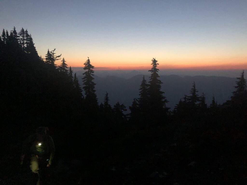
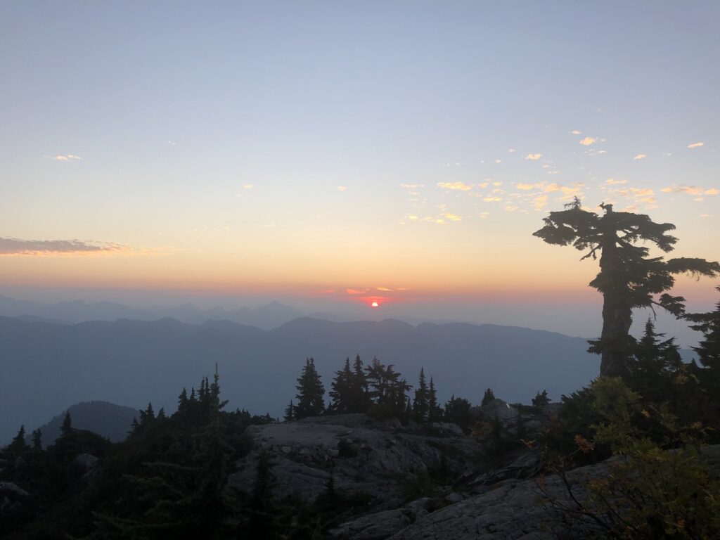
We continued on the Mount Seymour Trail, planning to hike back on the Elsay Lake trail. It took us about an hour and forty minutes to reach Tim Jones Peak (Second Peak). We took a short break to watch the sunrise and then hiked down to the saddle between Tim Jones Peak and Mount Seymour Peak.
Mount Elsay – Mount Bishop Trail
From the saddle, we got on the Mount Elsay – Mount Bishop trail. It drops down to the West (left) and then traverses along the West side of Mount Seymour. The trail from here to Mount Elsay summit gets more rugged and the trail markers are not obvious in some sections.
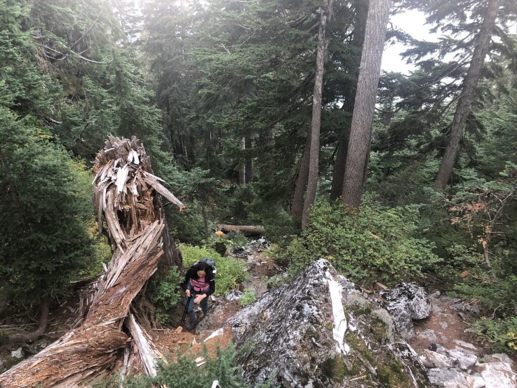
The trail climbs again to reach the highest point of about 1300 m Northwest of Mount Seymour before dropping to arrive at the junction with Runners Peak Trail. The last time I was on this trail was in May 2021 on our way to Runners Peak, and it was good to see the terrain again in Fall.
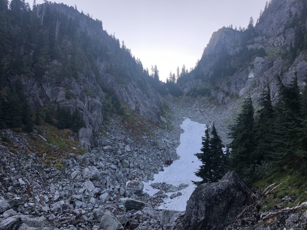
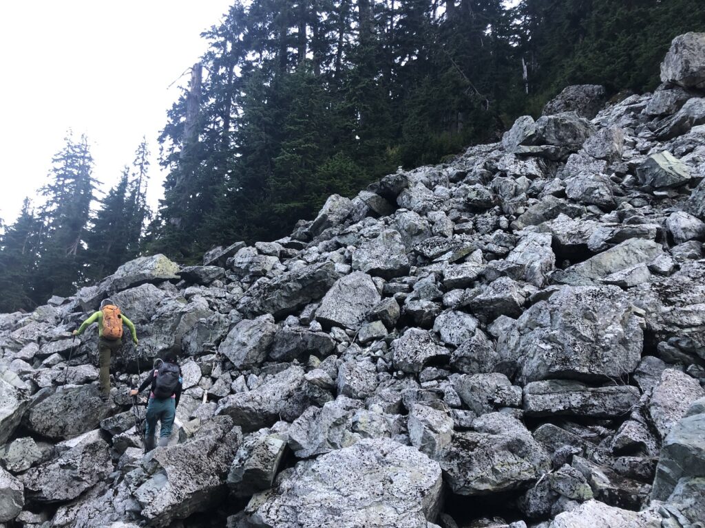
Based on the map, we had an elevation gain of about 380 m from this junction to the Mount Elsay summit. As we made our way up the boulder field, we went off-trail but rechecked the map to get back on the trail.
Soon, we came across the junction for the Mount Bishop and Mount Elsay trail. We continued straight on the Mount Elsay trail.
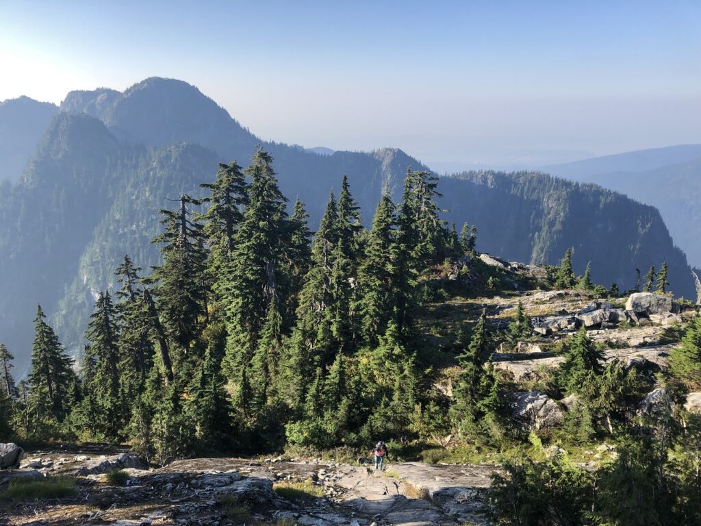
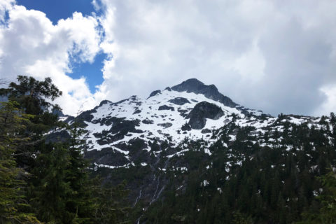
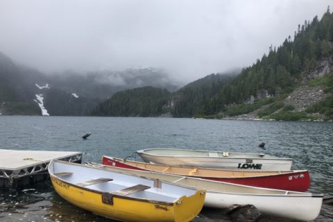
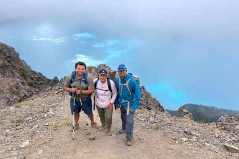
Around 9:45 am, we arrived at the summit of Mount Elsay. It was a beautiful day with amazing views of Elsay Lake and Mount Bishop to the North and Runner Peak and Mount Seymour to the South.
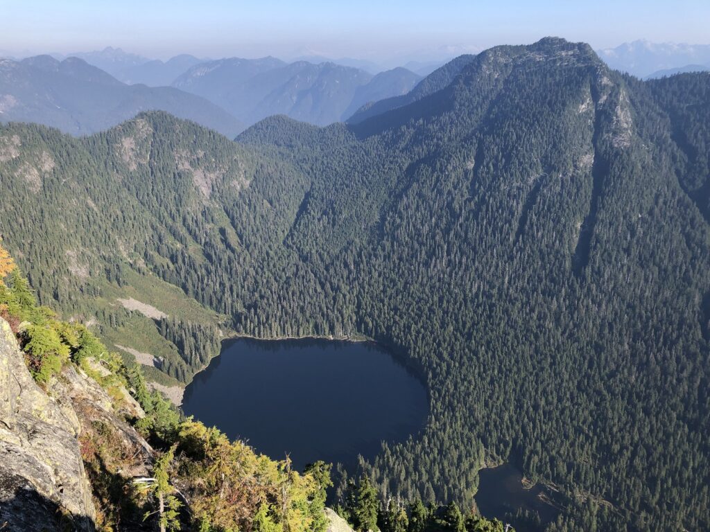
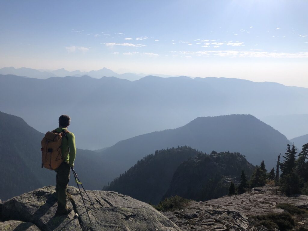
We took a long break and were on the summit for almost 50 minutes. Around 10:30 am, we started our hike down. About 600 m (trail distance) from Mount Elsay summit, past the intersection with Mount Bishop trail, we took the route to our left, going (Southeast) to the boulder field.
Elsay Lake Trail
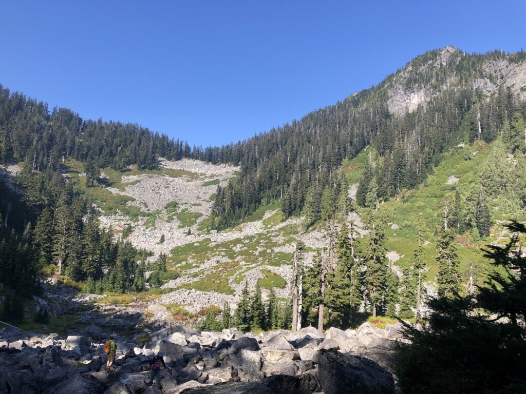
The trail here was not obvious, and we relied on the GPX tracks downloaded from Outdoor Vancouver to ensure we were heading in the right direction. Hiking down the boulder field was one of the most challenging sections of this hike.
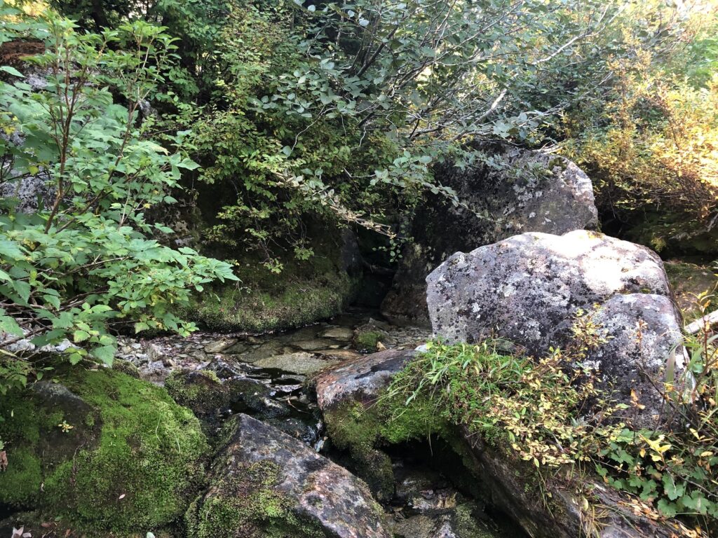
At the end of the boulder field was a small creek where we refilled our bottles. Past the creek, the trail was marked and easy to follow. As we dropped down to an elevation of around 950 m (about 2 km from the summit), we arrived at the junction of Mount Elsay and Elsay Lake trail.
We took the Elsay Lake Trail to our right, which would take us along the East side of Mount Seymour and then connect again with the Mount Seymour trail. Shortly after the junction, the trail continues to climb steadily and offers some unique views of Mount Seymour.
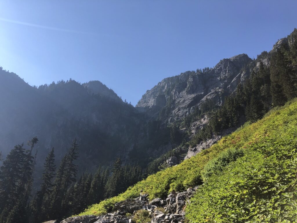
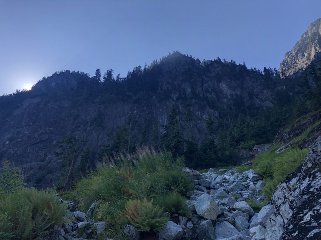
By noon, we were back at the junction of Mount Seymour and Elsay Lake Trail and from here, it took us about an hour to get back to the parking lot.
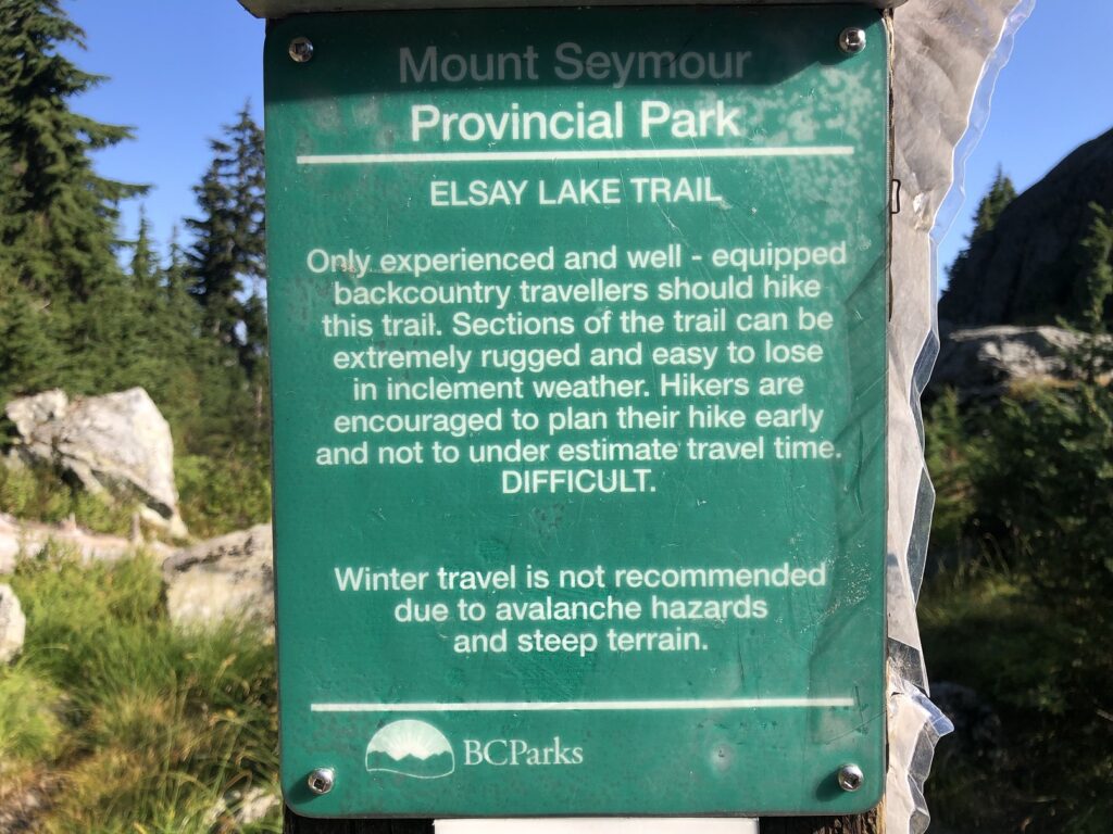
My Coros watch recorded a total distance of 15.6 km with a cumulative elevation gain of 1426 m. Including the breaks, it took us about 8.5 hours to complete the Mount Elsay loop. Overall it was a fun hike in some new terrain with fantastic views of North Shore mountains and Elsay Lake.
Territory Acknowledgement
I would like to acknowledge that this trip took place on the unceded territory of the Coast Salish peoples, including the territories of the xʷməθkwəy̓əm (Musqueam), Skwxwú7mesh (Squamish), Stó:lō (staw-low) and Səl̓ílwətaʔ/Selilwitulh (Tsleil-Waututh) Nations. I commit to learning about Indigenous peoples and issues and making reconciliation an ongoing effort.
Source: Native-Land
Pronunciation Guide: First Nations.info, A Guide to Pronunciation of BC First Nations
Resources:
First Nations Websites: Squamish | Musqueam | Tselil-Waututh | Stó:lō
Mount Elsay Loop Trail: Outdoor Vancouver
Mount Seymour Provincial Park: BC Parks
Weather: Yr.No | Windy | SpotWx
AdventureSmart: Trip Planning
Disclosure: The links I have shared in the post and under the Resources section are not Affiliate Links.
Did you enjoy reading this post? Please subscribe to get weekly updates. Please share your feedback in the comments section below. Thank you!
