I planned to write just one post on our stay in the Andes region for our time in Quito, Quilotoa Lake, and Banos. However, I decided to split the posts when my last Quito post exceeded 2000 words. In this post, I will share our hiking experience in the Andes, with time spent in Isinlivi, Chugchilan and Quilotoa. Kavya says Banos deserves its own post, so another post will follow in a few weeks.
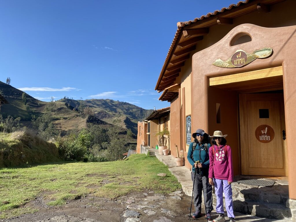
Llullu Llama Lodge – Isinlivi
We arrived in Ecuador on Dec 4, and after a two-night stay, Santiago drove us down to Llullu Llama Lodge in Isinlivi. Right after Sigchos, we missed a turn and ended up on a steep (going downhill) narrow gravel road. After a few minutes, we hit a dead end as half the road was gone in a landslide.
Santiago skillfully drove the van in reverse, and we returned to the junction where we had taken the wrong turn. The final few km drive to Isinlivi was bumpy but uneventful, and we reached Llullu Llama Lodge, where we would stay for a night.
Isinlivi is at an elevation of about 2900 m and has a predominantly indigenous population. It’s a lovely location in the Andes mountains.
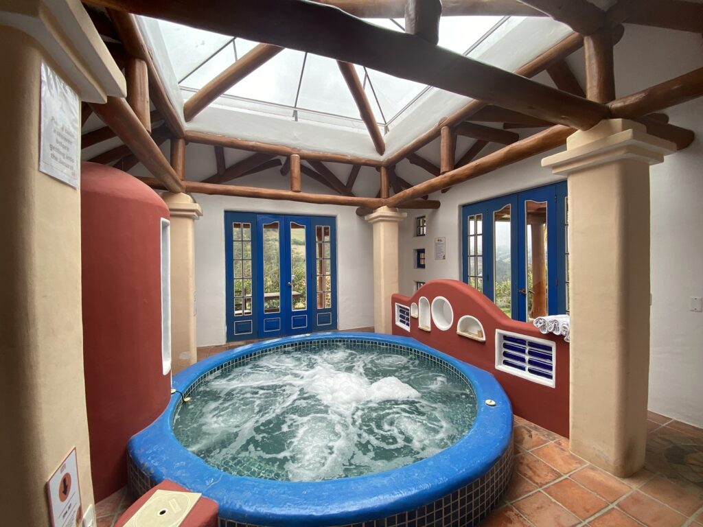
Llullu Llama Lodge is a beautiful property in Isinlivi and is probably the most popular accommodation on the entire Quilotoa Loop. It has private rooms, dorms, a restaurant, a lounge area, a jacuzzi & sauna room, etc. In early December, it was not busy, and four other people were staying at the lodge.


We planned to hike the full Quilotoa Loop – Isinlivi-Chugchilan-Quilotoa Lake-Malingua Pamba-Isinlivi – about 60 km over six days.
Isinlivi to Chugchilan Hike
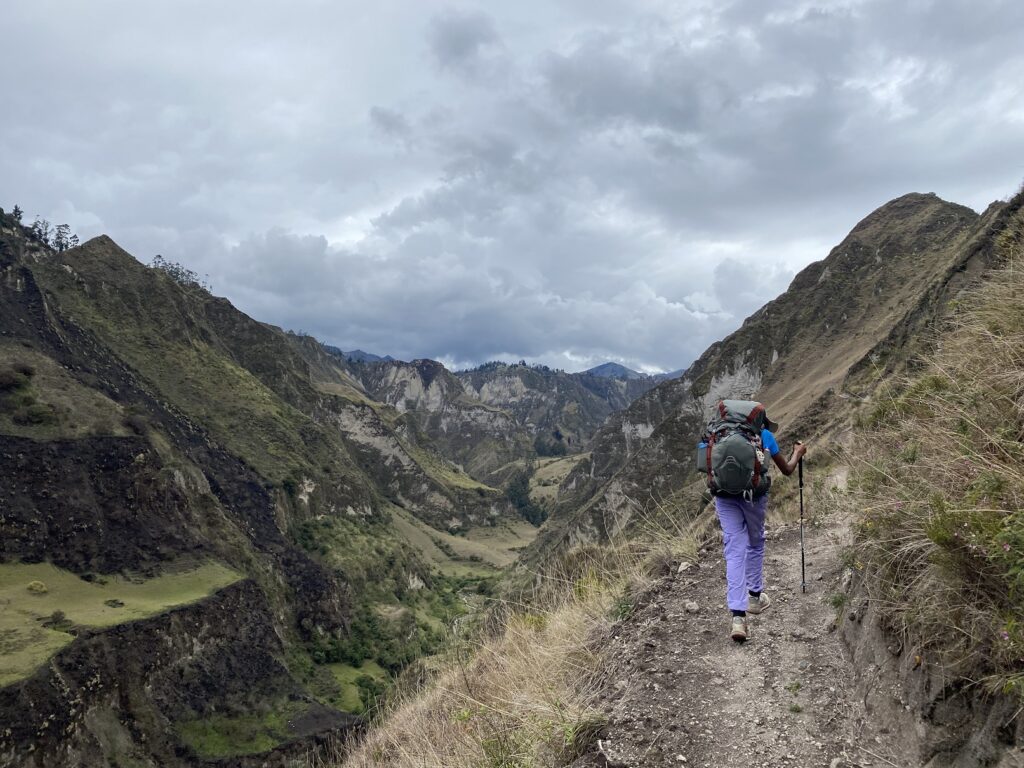
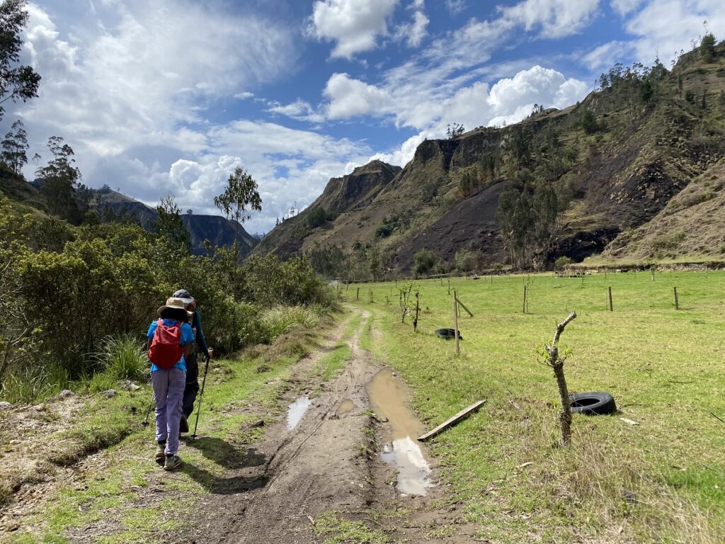
The next day, we had breakfast at Llullu Llama Lodge, ordered a packed lunch and started our hike around 8 am. I downloaded the map in GAIA and also had the instructions with the trail map from the lodge.
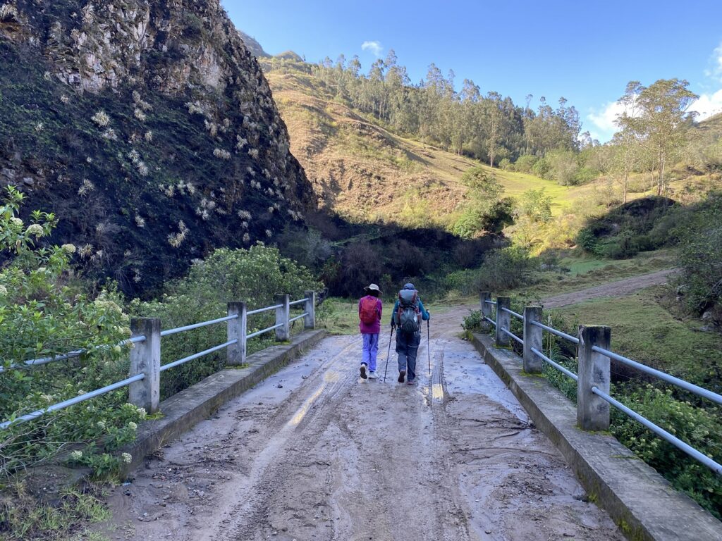
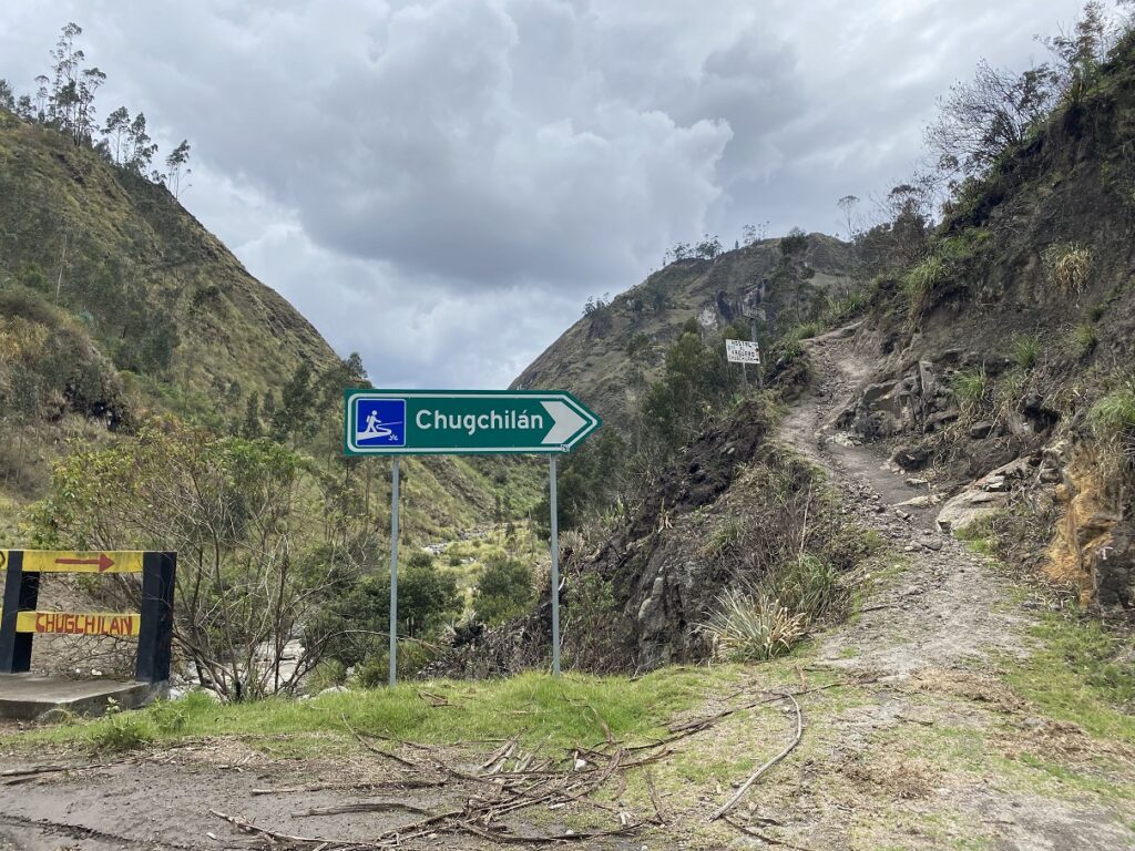
It was a short walk down the winding road (one could also take a direct trail) to the bridge. After the bridge, we were supposed to pick up a trail going right, but the distance to the fork after the bridge given in the instructions was inaccurate. So that confused us for a few minutes, but then we were back on the main trail and found the trail going to Chugchilan. The trail took us through farms, mud paths and some beautiful terrain.
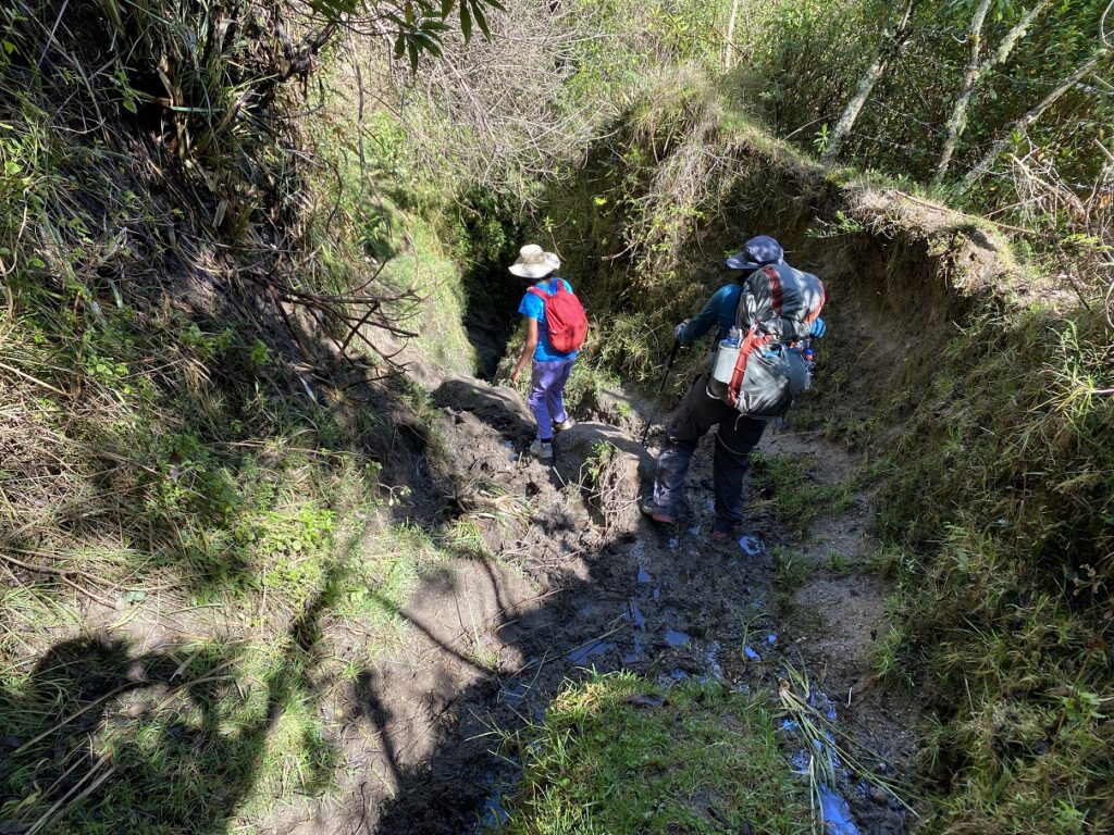
We followed the signs by Cloud Forest Hostel and didn’t have an issue till we reached the Toachi river. There was a narrow, muddy trail going left, following a fence, and another one going right.
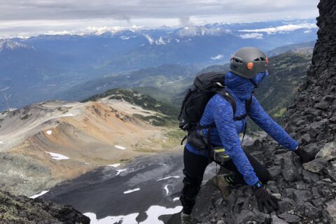
I misread the orientation on the GAIA map and decided to go right. It had a short technical section, which was challenging with the backpack, but we managed it.
Itualo-Toachi Canyon
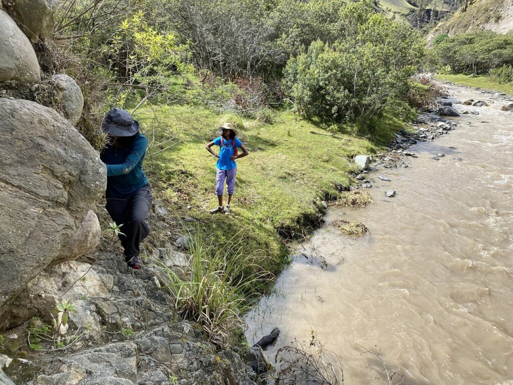
Soon, we heard a woman yelling and waving at us. She had seen us taking the wrong turn and jogged toward us. We couldn’t understand much, but it was clear that we were going in the wrong direction.
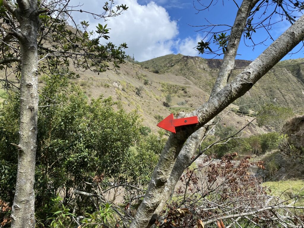
So we returned to the junction at the river. She chopped off a branch with her machete and showed us the small red arrow on the tree pointing towards Chugchilan. All of us thanked this trail angel and continued hiking along the fence. Without her, we would have wandered off in a completely different direction.
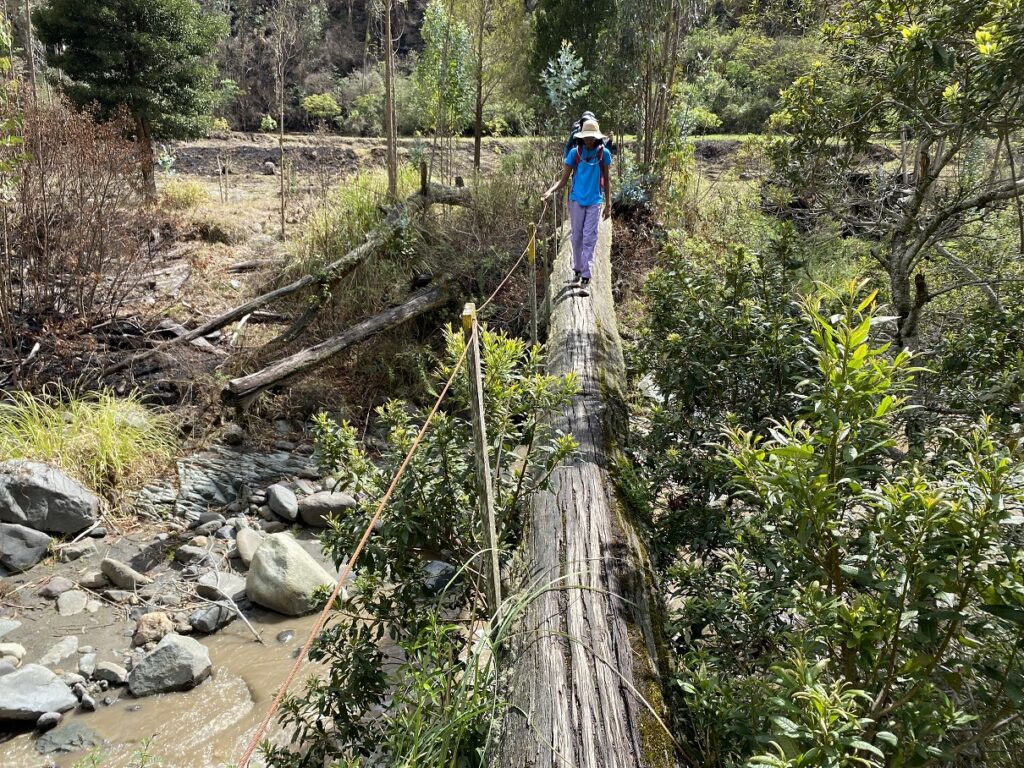
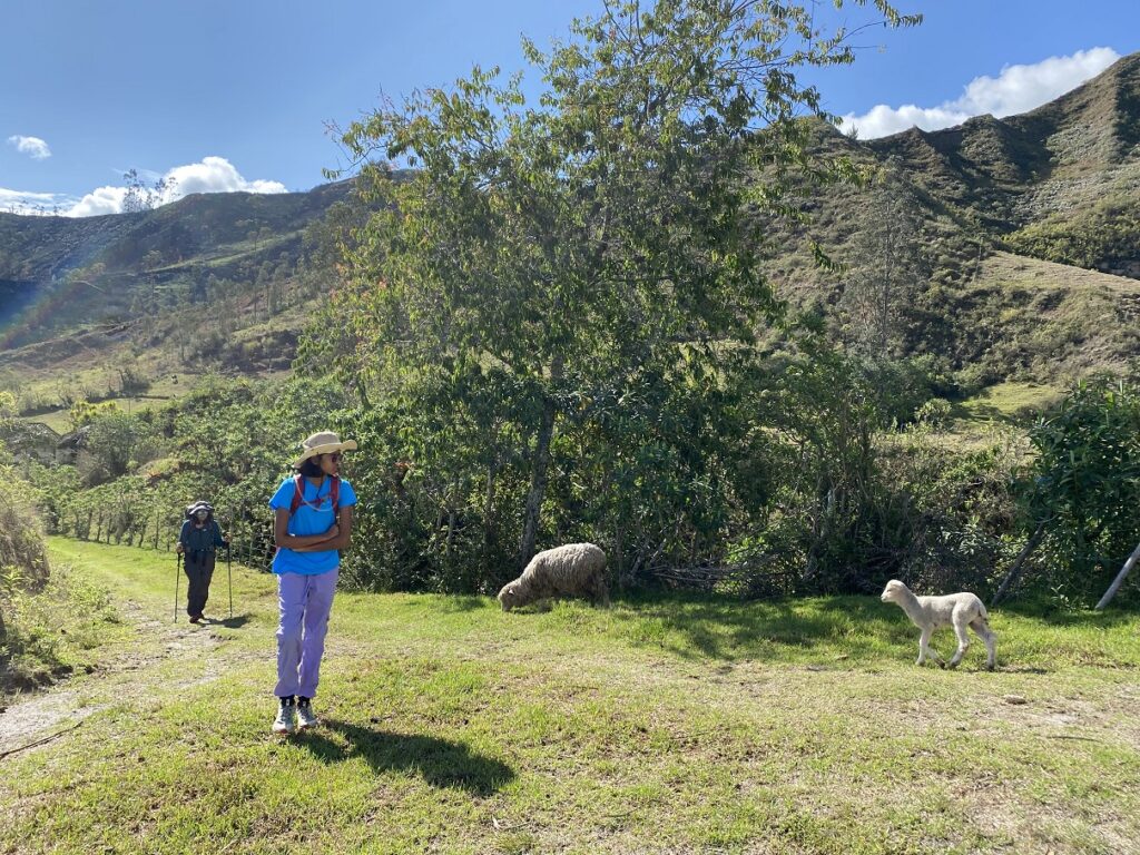
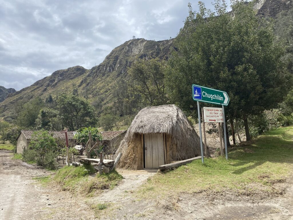
Eventually, we crossed the river over the wooden bridge and got on the wide trail to Chugchilan. Further ahead, we saw another small bridge and from there, it was a gentle uphill hike to the small community of Itualo. We reached Itualo around 11 am and took a lunch break.
From Itualo, there were two trails to Chugchilan. One route went up a steep trail to a viewpoint (Mirador) on the ridge, while the other was a flat road leading to Toachi Canyon.
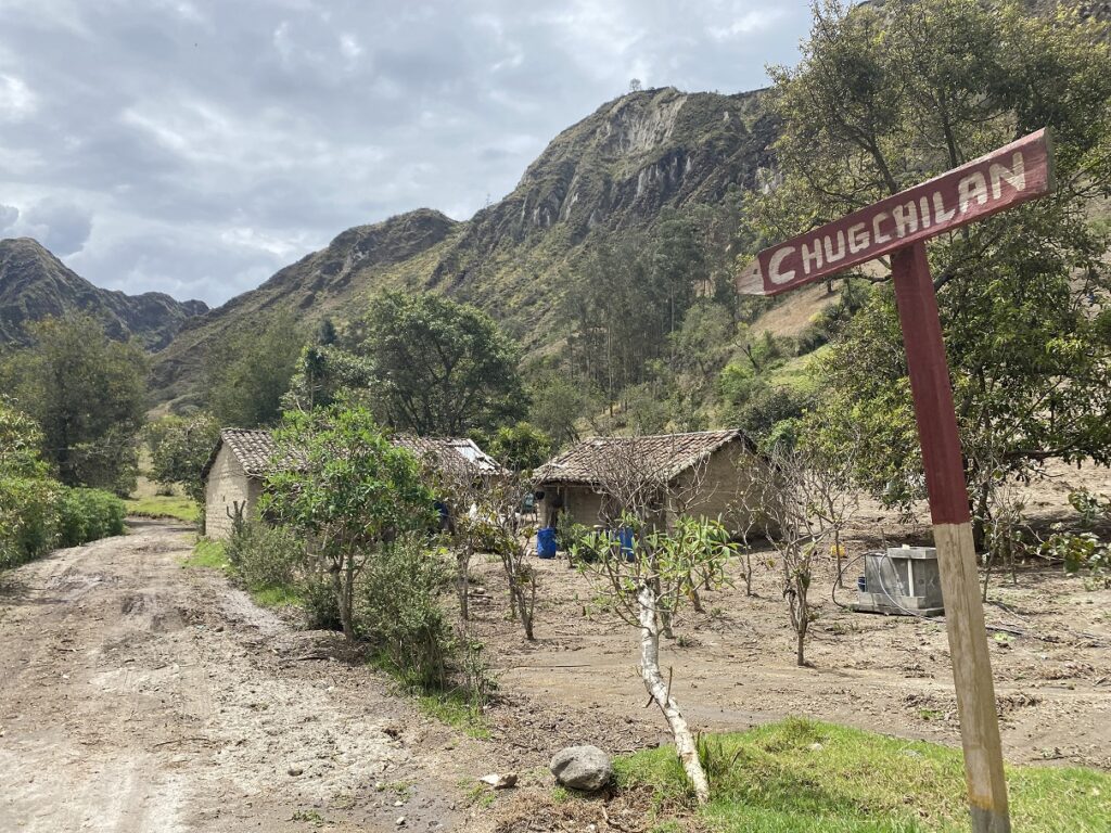
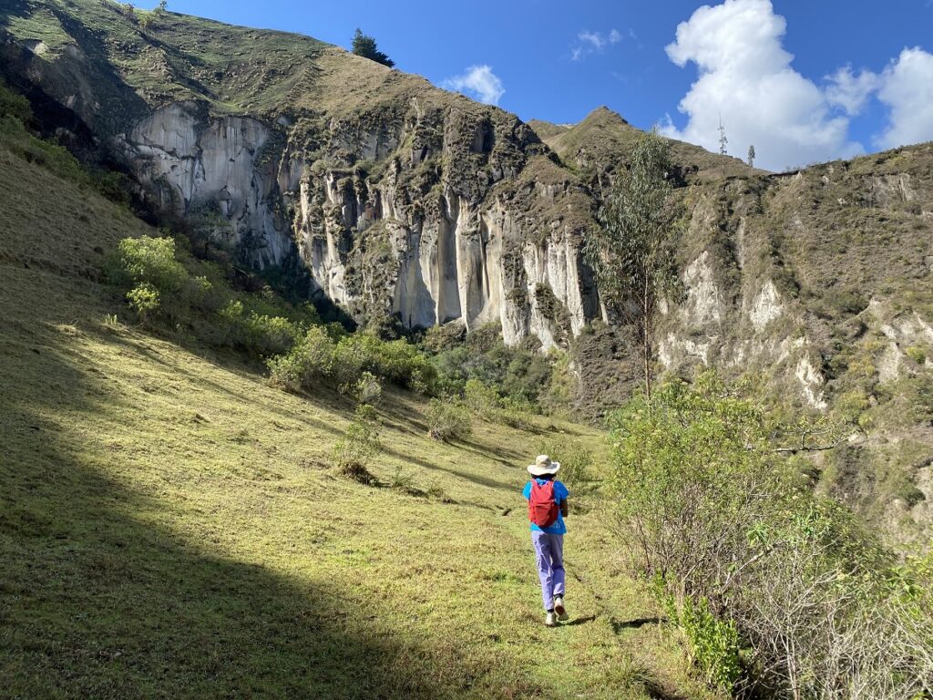
We took the trail to Toachi Canyon, assuming it would be longer but less steep than the other trail. After about 10 minutes, we arrived at a bridge with signs pointing to a steep trail on the right.
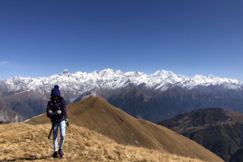
We quickly gained some elevation and soon had a beautiful view of the Toachi Canyon. It was a slow climb up the switchbacks. Kasturi’s pace slowed, and she had to take several breaks. It was a combination of altitude (3000 m) and stomach pain.

Kavya was tired but doing okay. She switched bags with Kasturi and carried the heavier pack. Seeing Kavya help her mom with the pack was a proud moment.
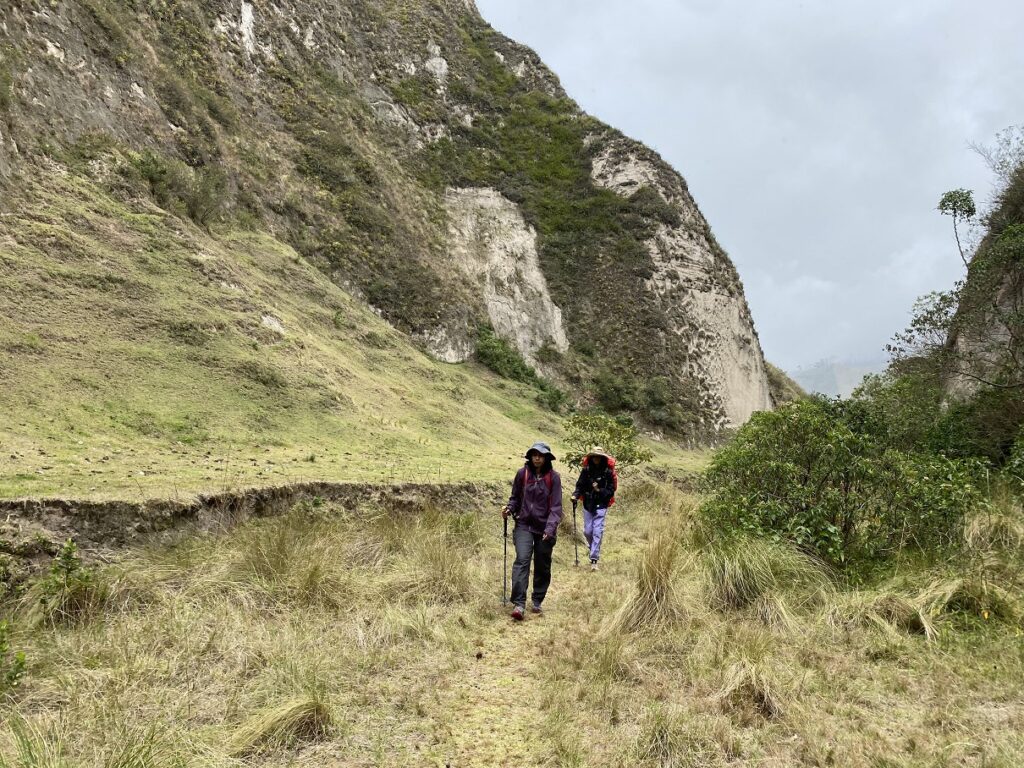
We reached a high point on the ridge and descended the other side of the mountain. It started raining, and we put on our rain jackets. After hiking through a few more rolling hills, we got on the main road to Chugchilan.
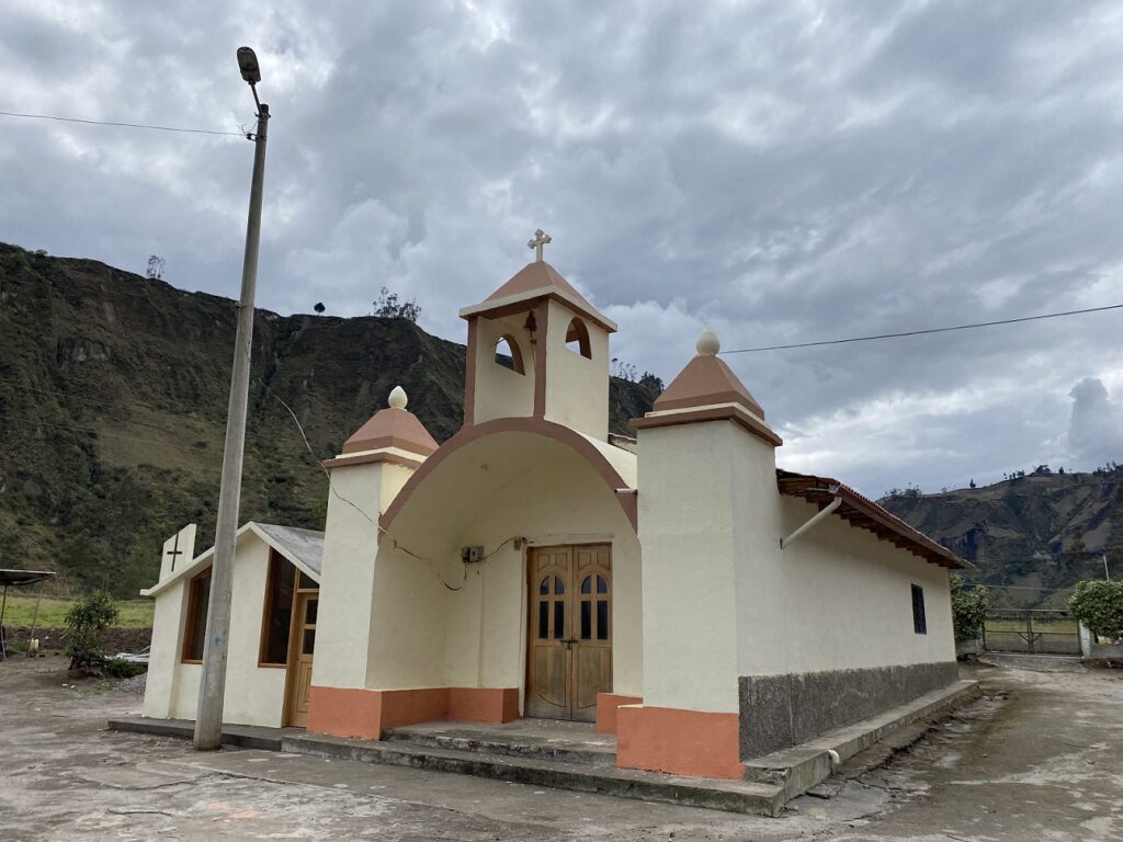
It was about a km from here to Chugchilan, and we reached Mama Hilda Hostel around 1:30 pm. With all the breaks and route finding, it had taken us about five and a half hours to cover a distance of about 13.7 km. Much longer than what we had expected.
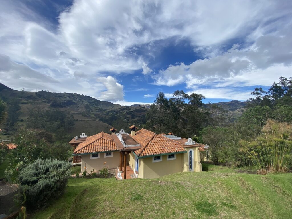
Mama Hilda Hostel

We went to the main office when we arrived at the hostel, but no one was around. In the meantime, the dogs on the property welcomed us and were super friendly.


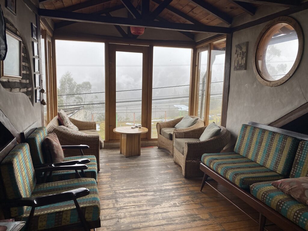
Finally, one of the caretakers showed up and gave us a quick tour of the facility. It was quite a campus with multiple buildings, different types of rooms, a house with a beautiful garden, etc. Plus, there was new construction going on that would add a few more rooms to the hostel. It must be a really busy place during the peak season.


But in December, there were no other guests, so we had quite a few options to pick from. We settled on a room with two levels – a queen bed at the lower level and bunk beds/hammocks up the stairs.
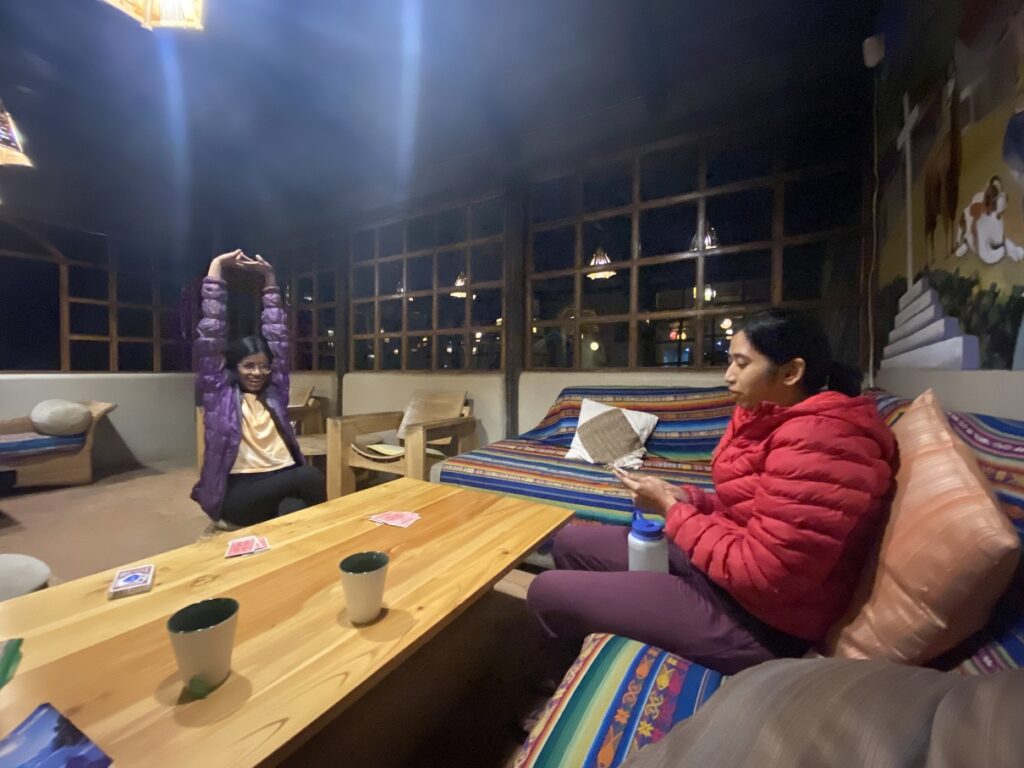
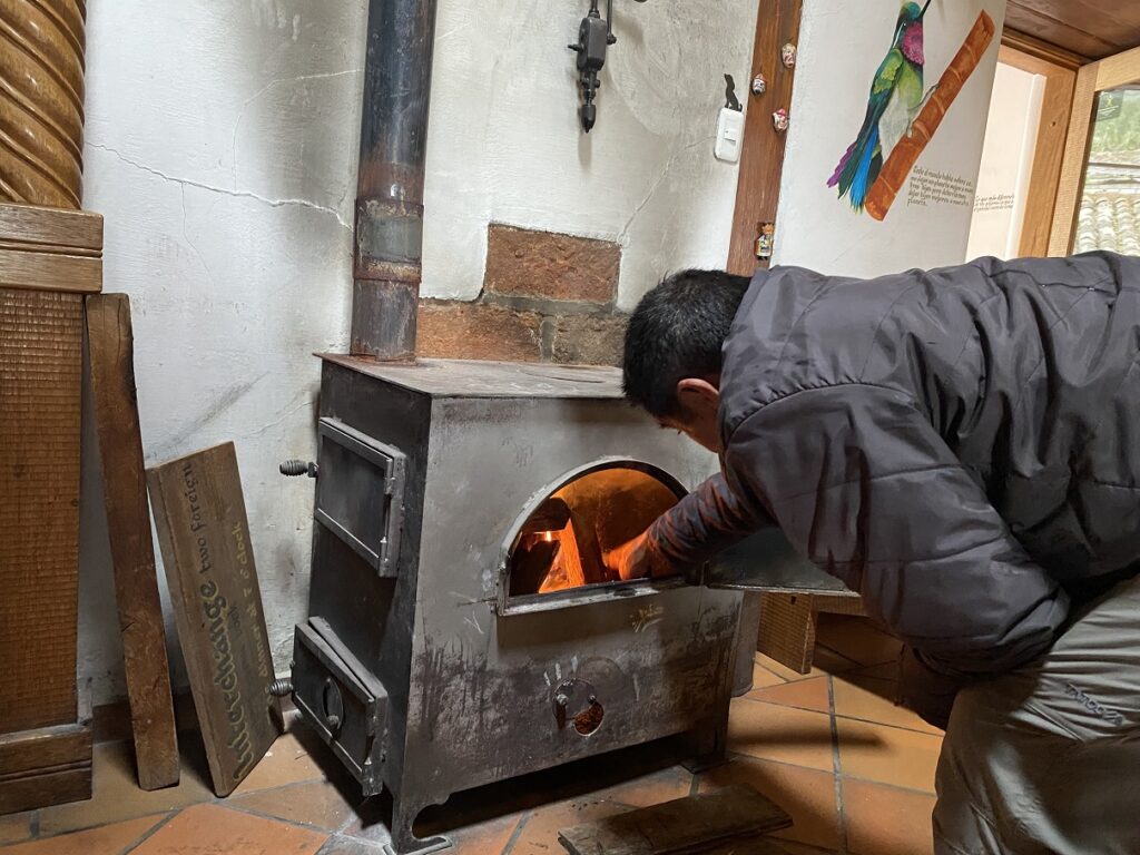
It was still raining, and it was cold at an elevation of around 3200 m. We all ordered some hot chocolate, which was the best we had in Ecuador. We spent most of the evening in the main building, which was well-decorated, cozy and had a fireplace.


By dinner, Kasturi was still not feeling good, so we decided to change our plans. Instead of doing the full loop, we would drive to Quilotoa, see the lake and then head back to Isinlivi for another night. Then, we would drive to Banos and be there for three nights before heading back to Quito for the next leg of our trip.
Quilotoa Lake
After breakfast, one of the caretakers drove us to Quilotoa (elevation 3823 m). He would drop us off at the lake and pick us up again in three hours, I would hike down to the lake and come back up. Meanwhile, Kasturi and Kavya would wait for me at a small cafe perched on the crater’s rim. Explaining all of this was stretching my limits of limited Spanish. So Google Translate came to our rescue.

Quilotoa Lake is a crater lake that is 250 m deep and has a 3 km wide caldera (cauldron). The hike to the lake was about 1.7 km with a 350 m drop in elevation. It took me less than twenty minutes to jog down to the lake and about forty minutes to hike back up. It was a popular trail with hikers, backpackers, trail runners and some people going up on horses.

The crater lake was beautiful, but it was a bit underwhelming. Maybe because it was a cloudy day, I was too hyped up to see it after planning this trip for a long time (since COVID) or perhaps I am just spoiled by some of the alpine lakes I have right in my backyard.

After lunch, we left Quilotoa and returned to Llullu Llama Lodge in Isinlivi. We stayed another night, enjoyed the jacuzzi & sauna, massage, and the next day drove to Banos.
Wingopana Hill
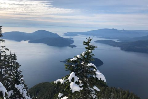
On our way to Banos, we stopped at a high point – Wingopana Hill. It is at an elevation of 3920 m and has a short hike that takes you to the top of a rock feature known as the face of the Inca or the stone of love.

In about ten minutes we reached the top, an elevation of 4000 m – our highest on this trip. It was very windy, and for most of our time on the narrow summit, we sat down and enjoyed the 360-degree views.


On our way to Banos, we stopped by Salceda and tried its popular icecream (Helados), a multi-coloured popsicle and a popular dessert in the region.

We reached Banos by late afternoon and enjoyed our three-day stay there. More on Banos in the next Ecuador post.
Resources:
Ecuador Travel Guide: Happy Gringo
Quilotoa Loop Hike: Trail Guide
Hostels: LLullu Llama Lodge | Mama Hilda Hostel (Facebook Page)
Taxi/Tour Guide: Santiago Garzon (ecuadorguides@gmail.com)
Disclosure: The links I have shared in the post and under the Resources section are not Affiliate Links.
Please subscribe to get regular updates.
Seems like a wonderful place for hiking!
Thank you Aloke. Yes, Quilotoa Loop – especially if you can do the full loop is really good.