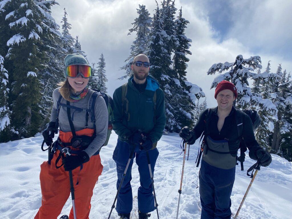
On February 17, I joined Jesse, Edda and Ryan on a backcountry skiing trip to Round Mountain via Red Heather Hut. This was my second trip to Round Mountain, and we explored some terrain on the north side for the first time.
Avalanche Forecast and Weather
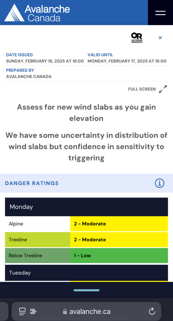
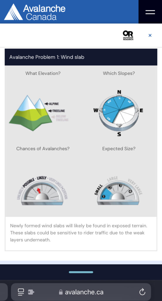
The danger rating was Moderate/Moderate/Low for Monday, with newly formed wind slabs on exposed terrain as the key concern.
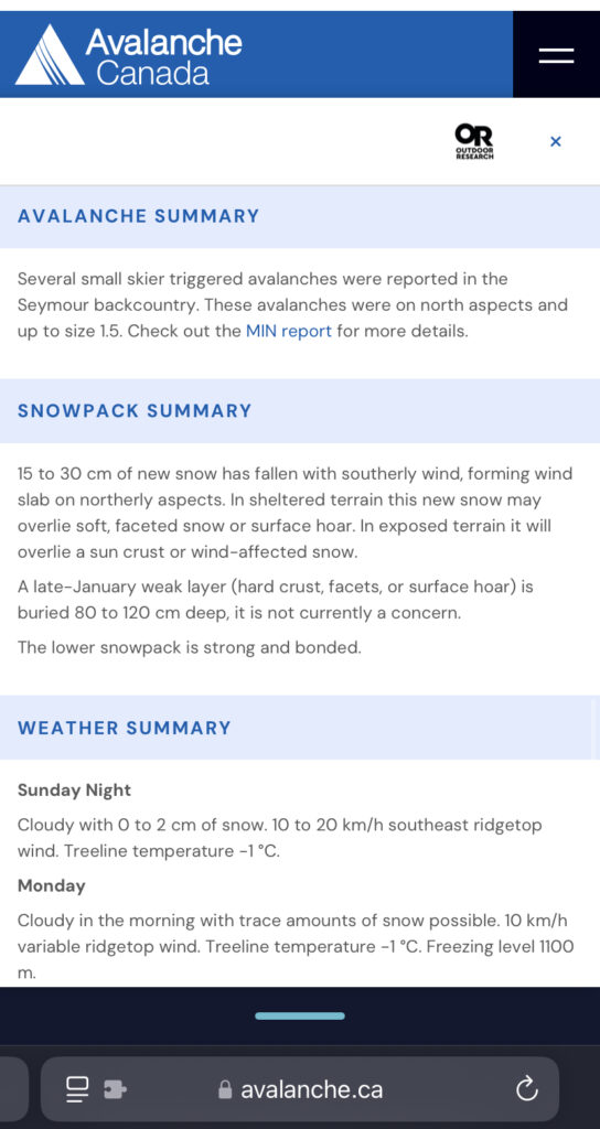
In terms of weather, the forecast was for a warm, cloudy day with some chance of snowfall.
Tire Chains
Ryan and I carpooled from North Vancouver and picked up Jesse and Edda from Squamish around 8 am. We had initially considered going to Mount Mulligan, but given the uncertainty around access due to construction, we decided to head to Red Heather.
Elfin Lakes Trail starts from the Diamond Head Parking Lot. About two km before the parking lot is a chain-up area on Garibaldi Park Road. However, chains were required much earlier, about 4.5 km from the parking lot, due to icy conditions. Check the BC Parks Diamond Head – winter conditions section for additional information.
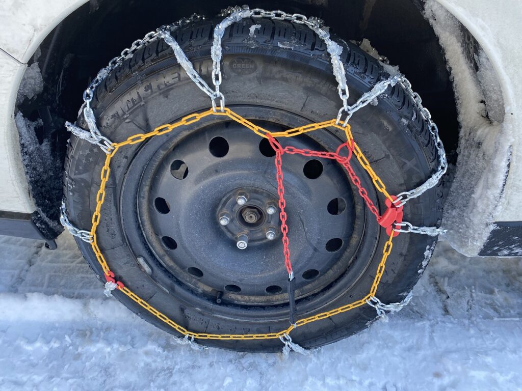
I was using tire chains for the first time on my Subaru Forester, but it was relatively easy. This video has good instructions for the Diamond Back tire chains I have. On our return, removing the chains took some effort, but it was not complicated.
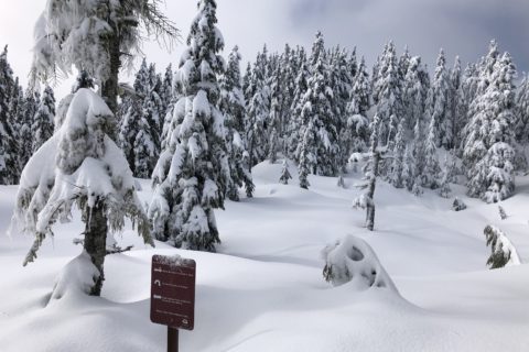
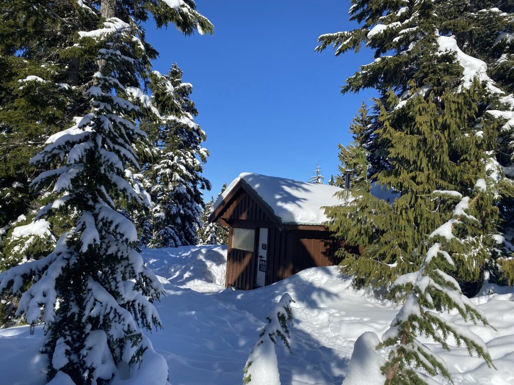
Elfin Lakes Trail to Red Heather
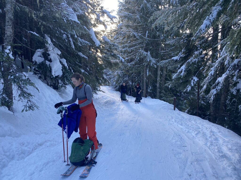
Diamond Head Parking Lot has room for 50+ cars, and there was plenty of parking when we arrived at around 8:30 am. After gearing up, we started skinning up the Elfin Lakes Trail around 9 am.
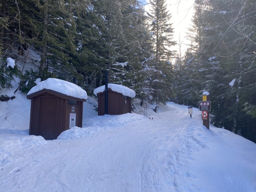
The trailhead is around 960 m elevation. It is about 4.8 km to the Red Heather Hut, which is at 1400 m. So, the trail gradient is just under 10% and makes for easy travel on a wide trail.
It took us about an hour and twenty minutes to get to the Red Heather Hut.
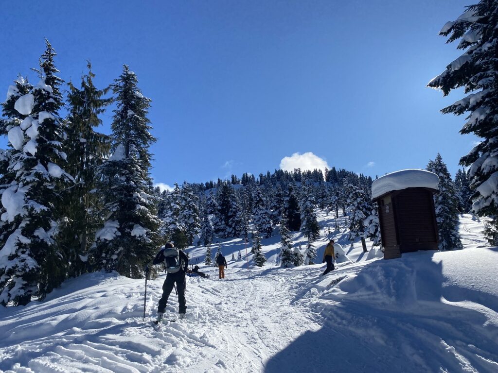
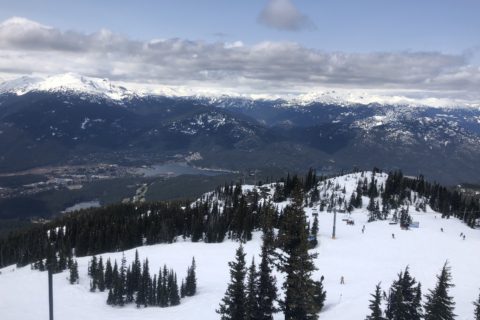
Round Mountain
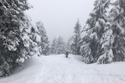
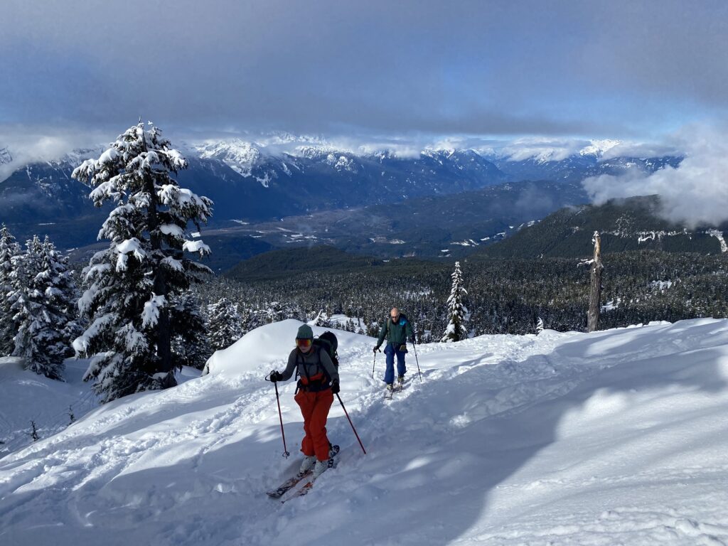
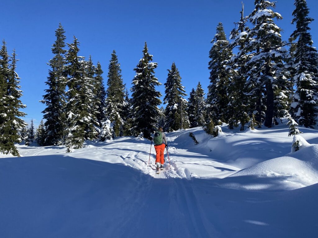
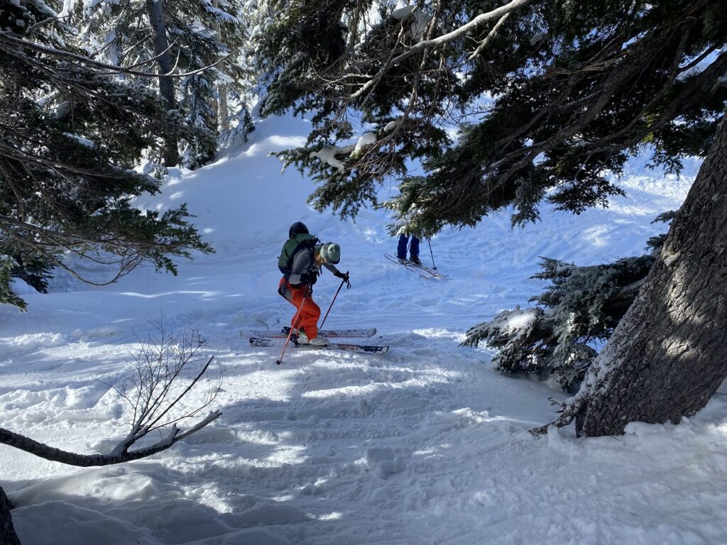
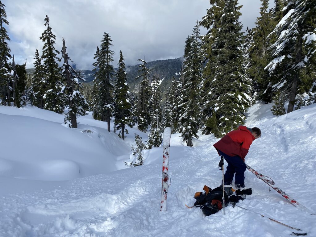
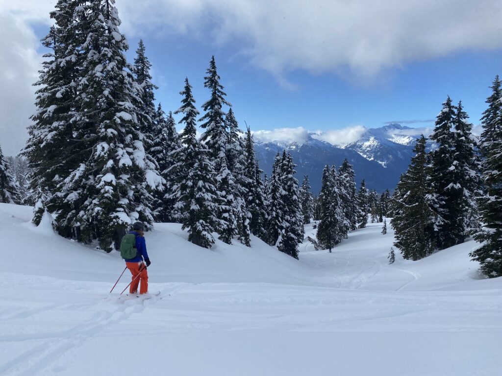
After a short break, we did a beacon check and made our way up the meadows towards Round Mountain.
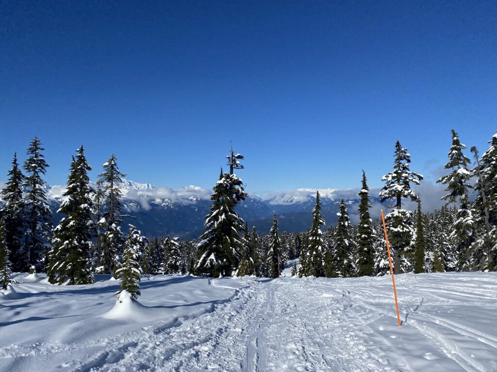
The winter trail to Elfin Lakes is marked with orange poles, and we followed it to the base of Round Mountain. From here, the winter trail to Elfin Lakes goes (right) on the South side of the Round Mountain. Depending on the conditions, some people also take the summer trail (left) on the West and North side of the mountain.

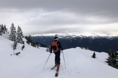
The last time Jesse and I went up Round Mountain, we continued on the winter trail to Elfin Lakes and went up from the South. But this time, we took a more direct approach from the West.
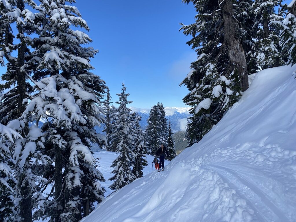
It was steeper in some sections, and at times, we had to sidestep to climb up the slope.
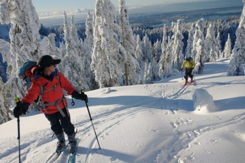
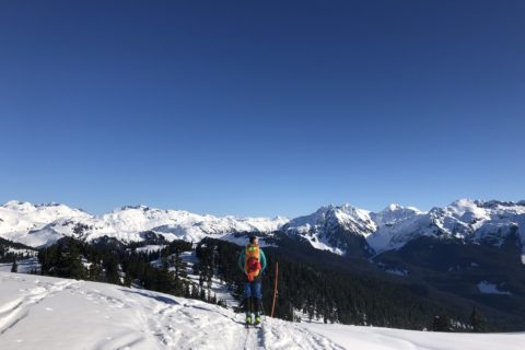
Around noon, we reached the Round Mountain summit (1646 m). After a long lunch break, we tried to figure out the best way down. Jesse and Ryan skied down the steep North slope while Edda and I came down the mountain’s East side.
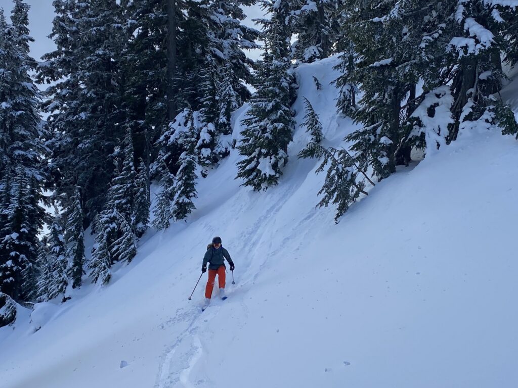
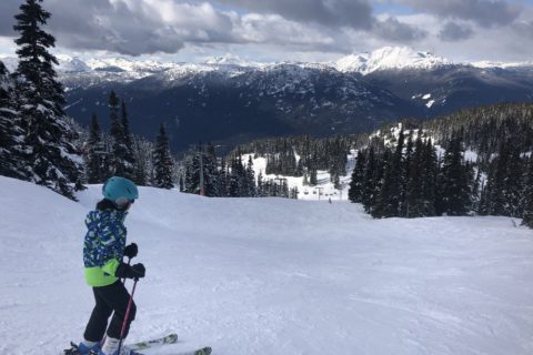
We regrouped and then had a fun run down to the Elfin Lakes trail (summer). Ryan with his Telemark skiing technique was the most impressive to watch.
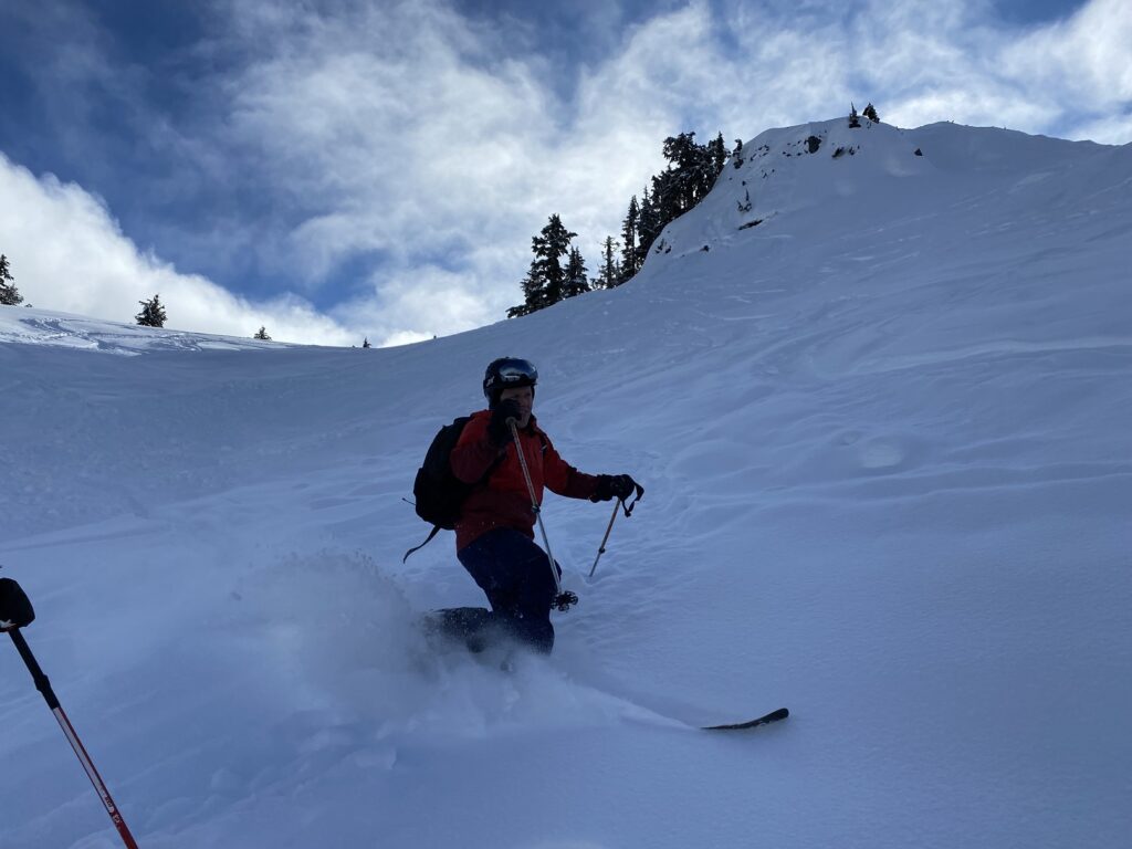
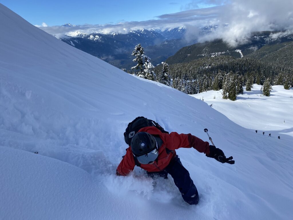
We further skied down the mellow terrain, dropped to about 1400 m and decided to turn around as the terrain narrowed down to a creek. We didn’t have as much pow as I had experienced on Zoa a few weeks back, but the conditions were still good, and I felt comfortable skiing in this terrain.
Descent
We followed the skin tracks back to the base of Round Mountain. After about thirty minutes, we transitioned for the final time, skied down to Red Heather, and then back to the trailhead.
From the base of Round Mountain, it took me just over twenty-five minutes to ski down to the trailhead. It was my fastest time coming down compared to my previous trips. It is good to see some progression in my skills, feel confident, and enjoy a beautiful day in the mountains with friends.
Territory Acknowledgement
I would like to acknowledge that this trip took place on the unceded territory of the Coast Salish peoples, including the territories of the xʷməθkwəy̓əm (Musqueam), Skwxwú7mesh (Squamish), and Səl̓ílwətaʔ/Selilwitulh (Tsleil-Waututh) Nations. I commit to learning about Indigenous peoples and issues and making reconciliation an ongoing effort.
Source: Native-Land Pronunciation Guide: First Nations.info
Resources:
First Nations: xʷməθkwəy̓əm (Musqueam) | Skwxwú7mesh (Squamish) | Səl̓ílwətaʔ/Selilwitulh (Tsleil-Waututh)
BC Parks: Garibaldi Provincial Park | Diamond Head – Winter Conditions
Avalanche Forecast: Avalanche Canada
Weather: Yr.No | Windy | SpotWx
Leave a Trip Plan: BC Adventure Smart
Disclosure: The links I have shared in the post and under the Resources section are not affiliate links.
Did you enjoy reading this post? Please subscribe to get regular updates. Please share your feedback in the comments section below. Thank you!