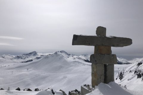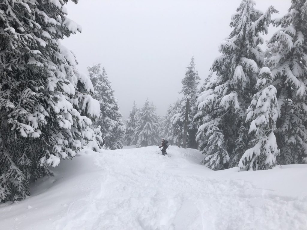
Last Saturday, I had planned to go ice climbing at Oregon Jack, but it didn’t work out. So instead, Lily asked if I wanted to join her for backcountry skiing on Hollyburn Mountain. It has been on my beginner-friendly backcountry skiing trips list, so I was excited to join her.
Territory Acknowledgement
I would like to acknowledge that this trip took place on the unceded territory of the Coast Salish peoples, including the territories of the xʷməθkwəy̓əm (Musqueam), Skwxwú7mesh (Squamish), Stó:lō and Səl̓ílwətaʔ/Selilwitulh (Tsleil-Waututh) Nations. I commit to learning about Indigenous peoples and issues and making reconciliation an ongoing effort.
Source: Native-Land Pronunciation Guide: First Nations.info
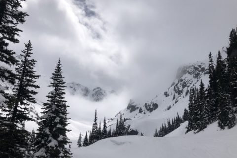
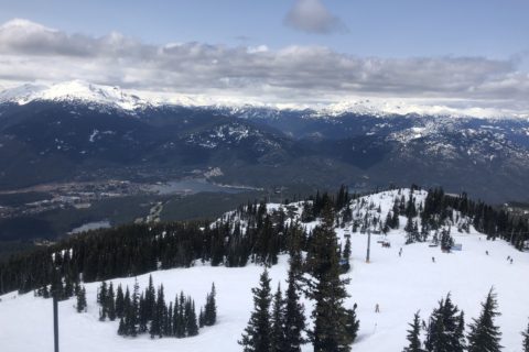
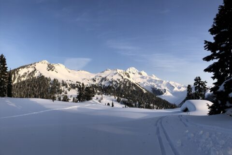
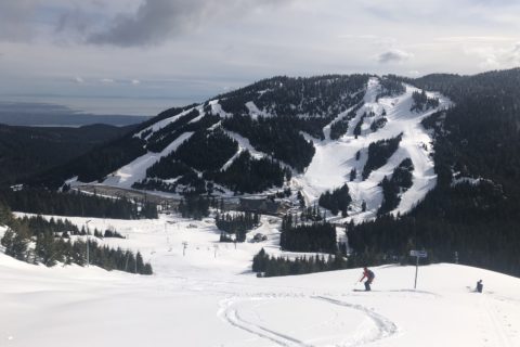
Southwest side of Hollyburn Mountain
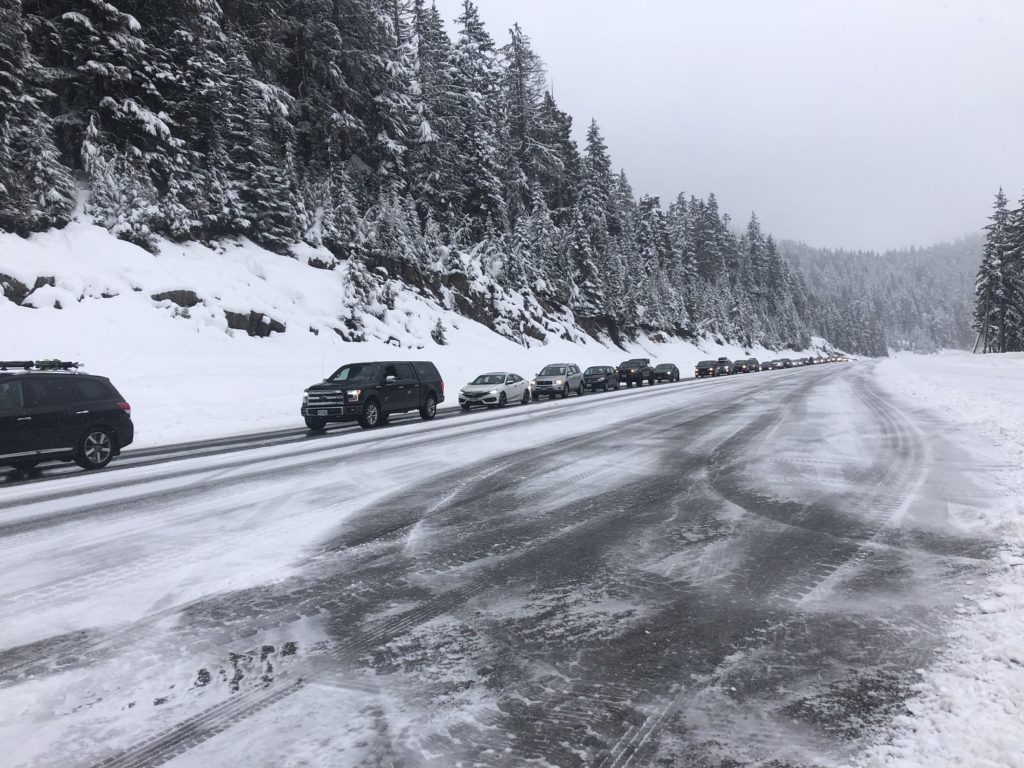
I met Lily and her friends at the north end of the Cypress parking Lot 3B. By 8:30 am, it was already getting busy on the mountain.
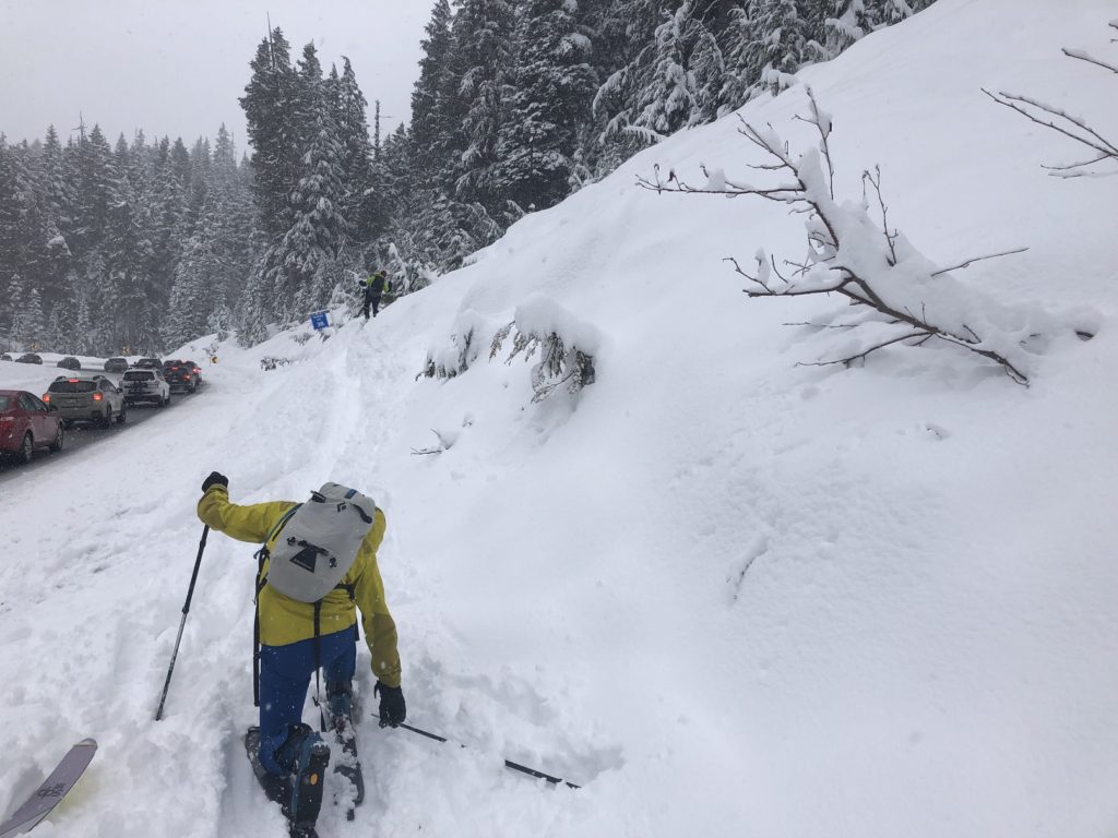
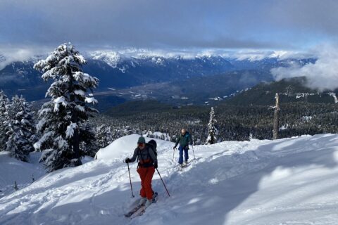
After gearing up, we crossed the road and got on the trail that parallels the road. The first km is pretty steep as there is an elevation gain of just under 300 m (about 28% grade). It is the steepest trail that I have skinned up so far.
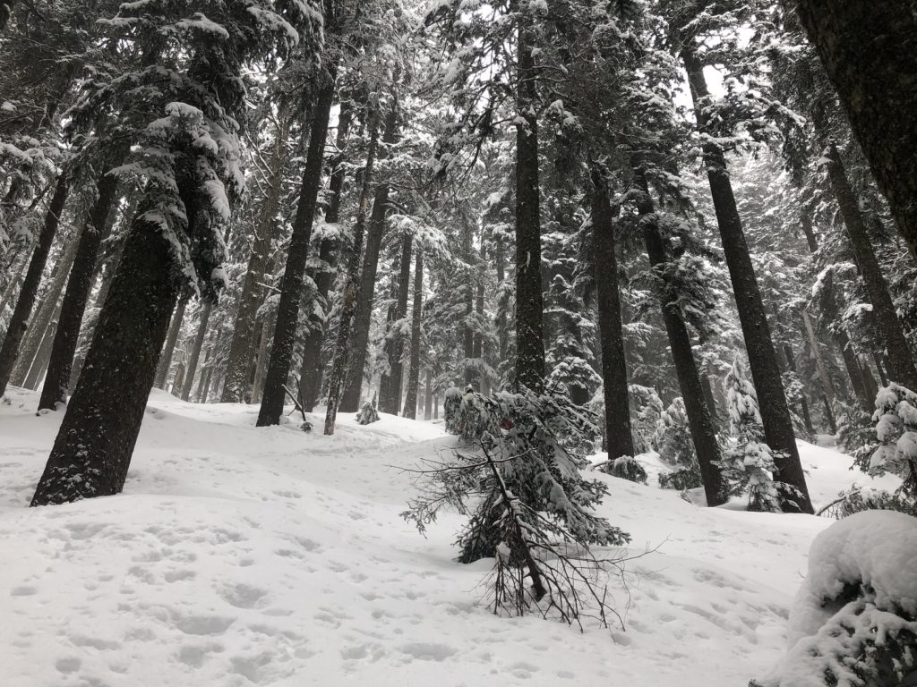
Jeff and James were in front of me. They were going at a pretty good pace, and I struggled to keep up with them. Later, I slowed down and just went at a sustainable pace. There was fresh snow on the trail, and the conditions were pretty good.
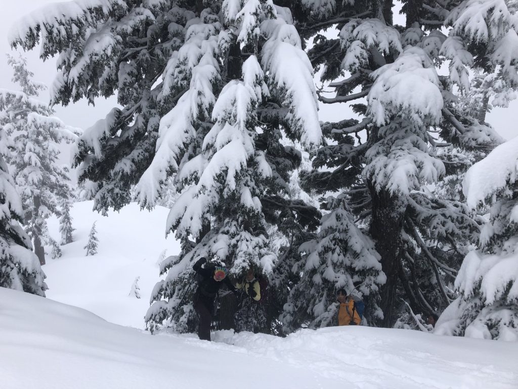
It took us about an hour and 10 minutes to get to the top, a total distance of just under 2 km with about 410 m elevation gain.
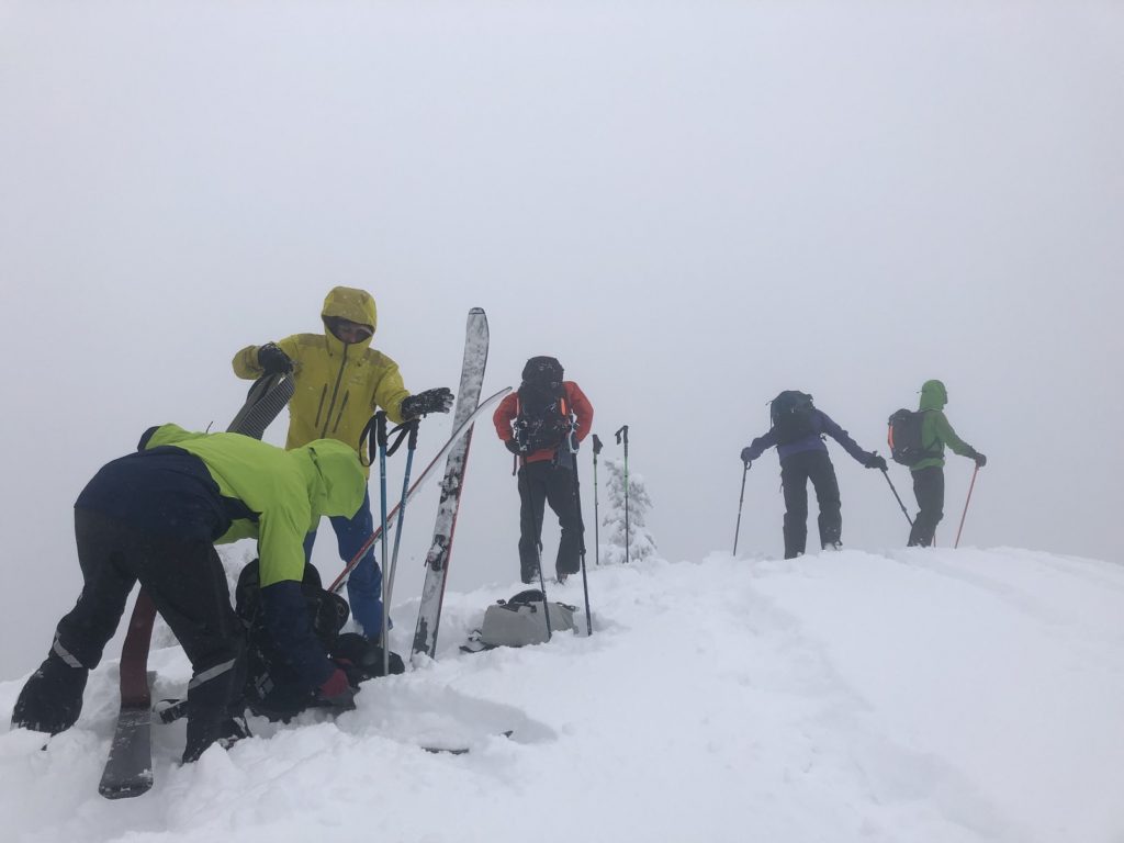
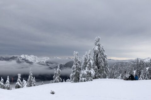
The visibility, as expected, was very low. It was worse than my first time here when I had snowshoed up with family.
Descent
So, after a quick break, we transitioned into ski mode and made our way down.
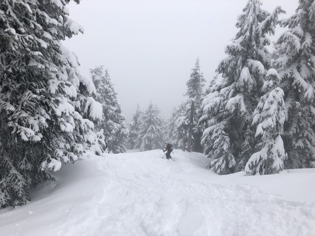
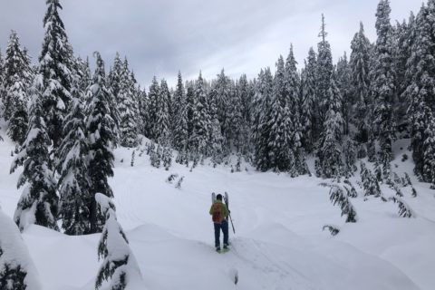
The terrain was much more challenging than anything I had skied before. It was steep compared to my previous tree skiing experience on the South Puma trail. Even with fresh snowfall, some sections were icy. I fell a couple of times and took my time skiing down.
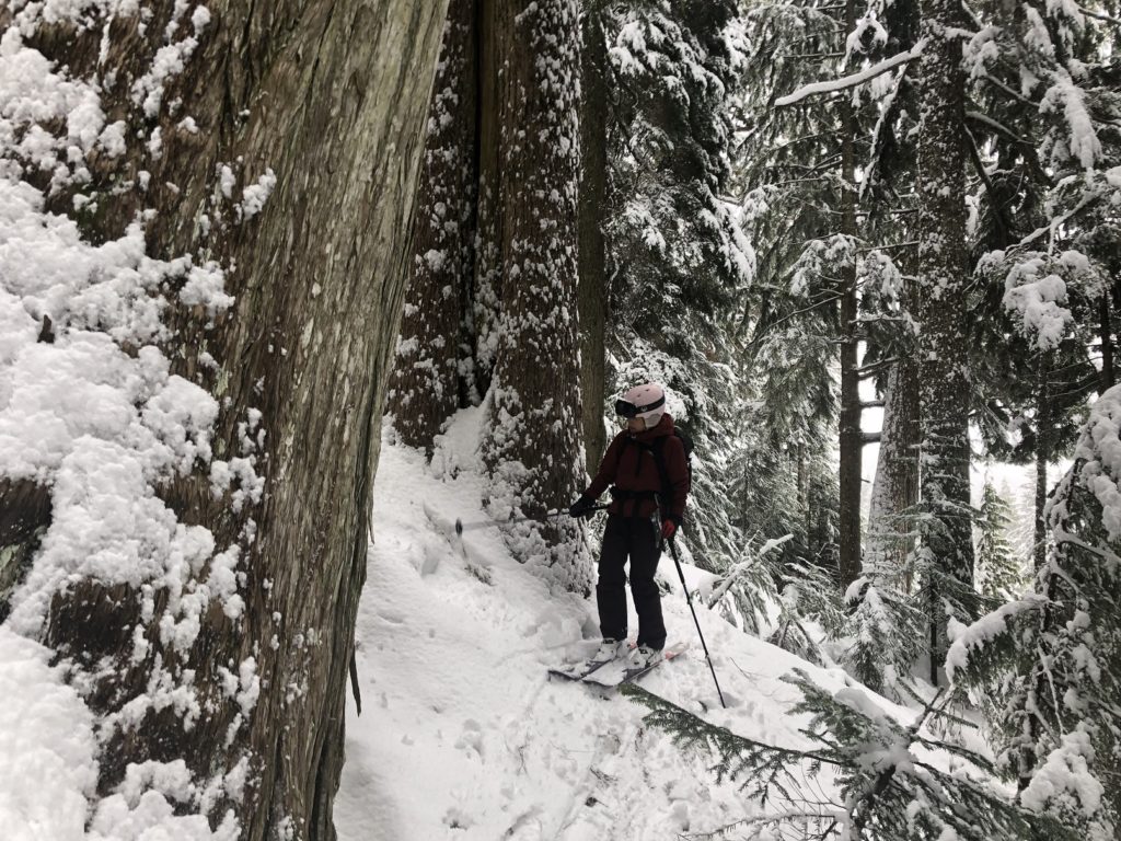
Lily was patient and stayed close. Closer to the parking lot, we initially took a direct approach to the parking lot. But soon realized that it was too steep with a rock section. So I retraced my steps, walked further (skier’s right) and then came down closer to the trail we went up.
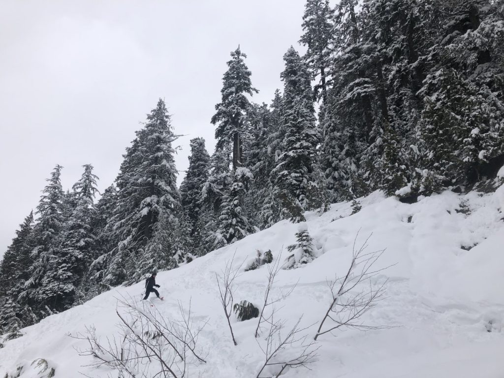

It almost took me an hour to get back down to the parking lot. It was much more challenging than I expected but was a really good experience. Hope I get to do more tree skiing this season.
Resources:
Cypress: Resort Website | Parking Lot Map
Cypress Provincial Park: BC Parks Website
Hollyburn Mountain Backcountry Skiing Tracks: FATMAP | My Tracks on GAIA
Backcountry Basics: G3 University | REI Beginner’s Guide
Avalanche Canada – Forecast | Avy Savvy – Online Avalanche Tutorial | Recorded Webinars
Weather Forecast – SpotWx | Yr.No
AdventureSmart – Trip Planning
Disclosure: The links I have shared in the post and under the Resources section are not Affiliate Links.
Did you enjoy reading this post? Please subscribe to get weekly updates. Please share your feedback in the comments section below. Thank you!


