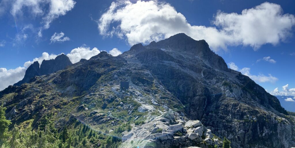
In early September, we got some good rain, and it was still wet in Squamish for climbing. So Neha and I decided to hike up to Golden Ears Summit on Sunday, September 15. I first did this hike in July 2020 with Slawomir and others from BCMC. This time, it was a different experience, especially the final push to the summit. Here is a quick post on the latest hike.
Neha and I met at the Information Center parking lot just past the main entrance to Golden Ears Provincial Park. We carpooled to the West Canyon parking lot, which was busier than I had expected for early fall.
West Canyon / Golden Ears Trail
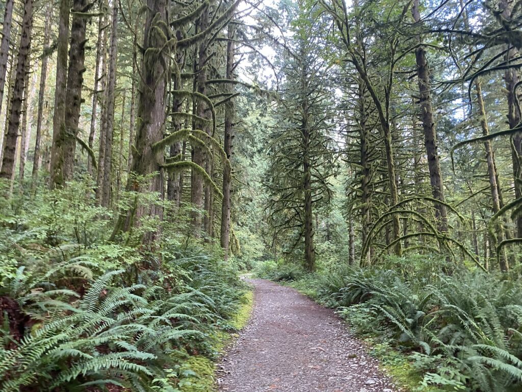
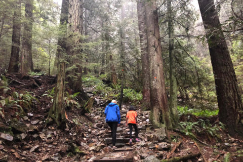
We started hiking around 8:25 a.m. The first three km of the West Canyon Trail have minimal elevation gain (60-70 m). Even the next three km to Alder Flats is not that steep and has about 200 m of elevation gain. It took us less than one and a half hours to cover the first six km.
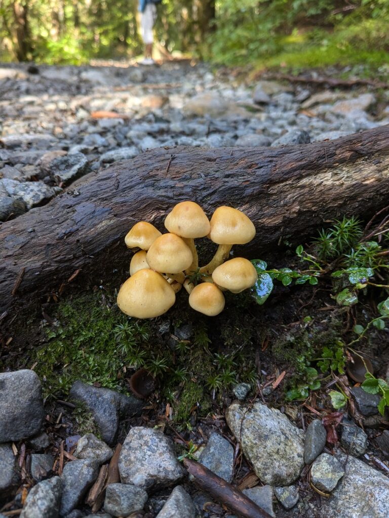
Mushrooms were in full bloom, and Neha took some good shots –
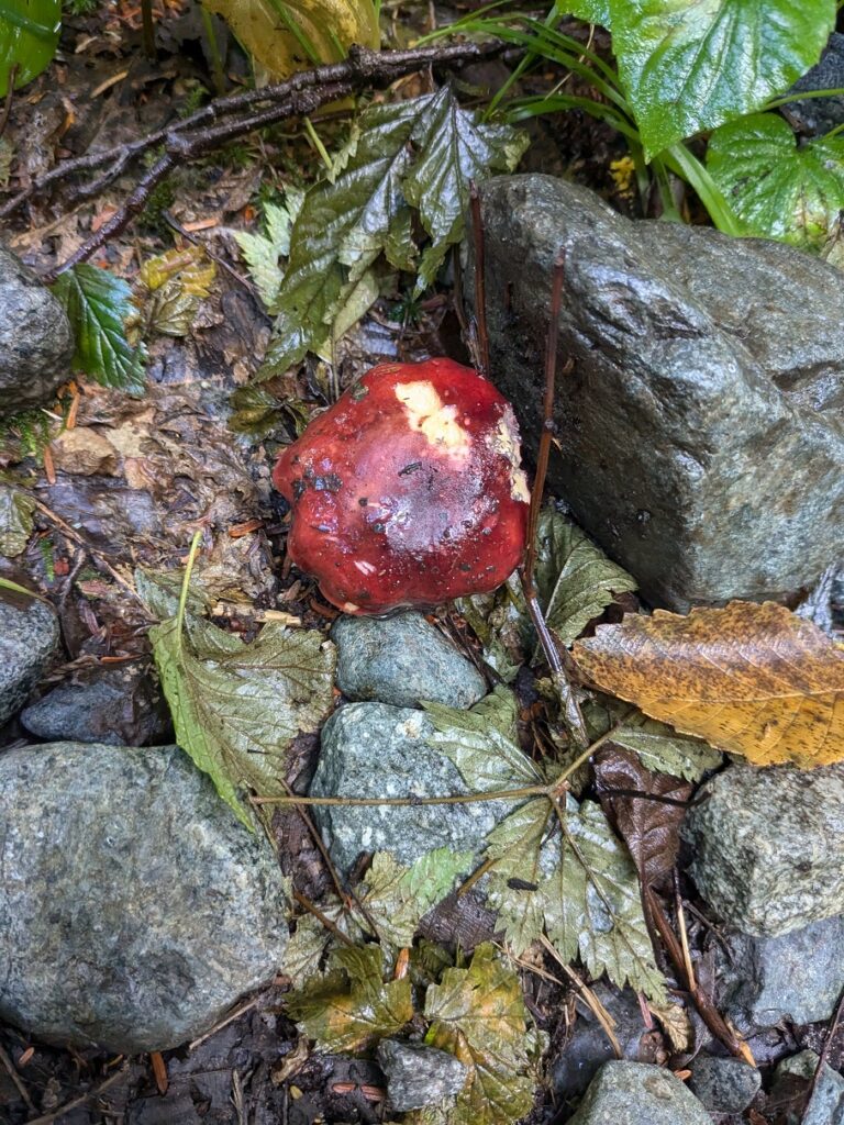
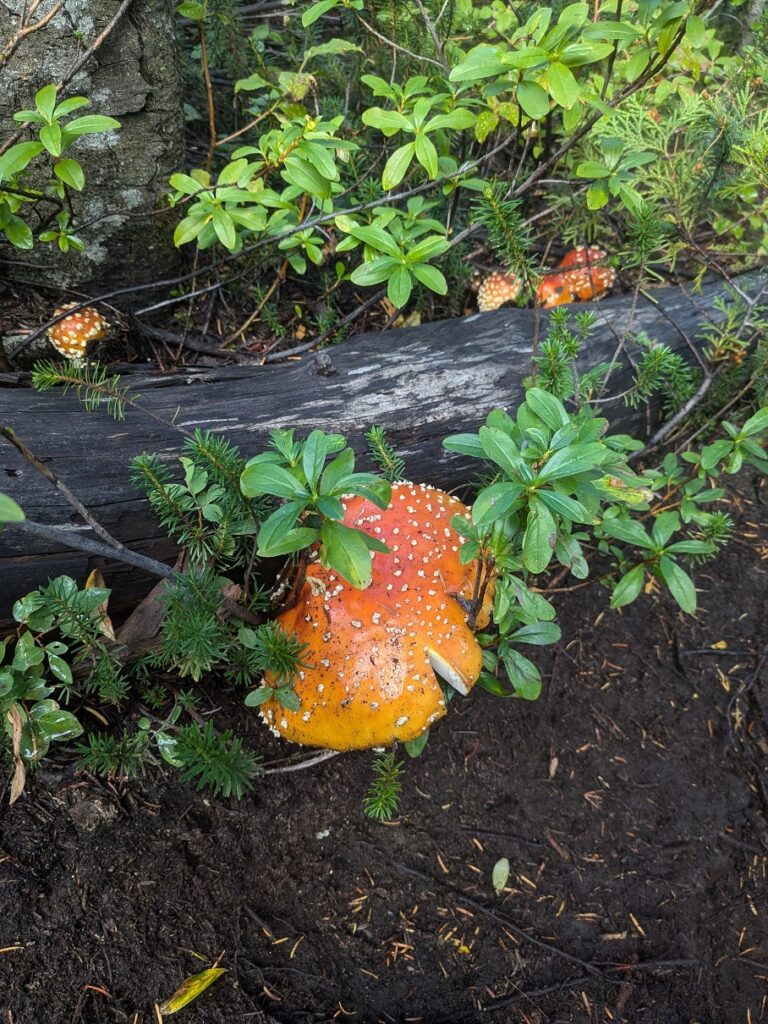
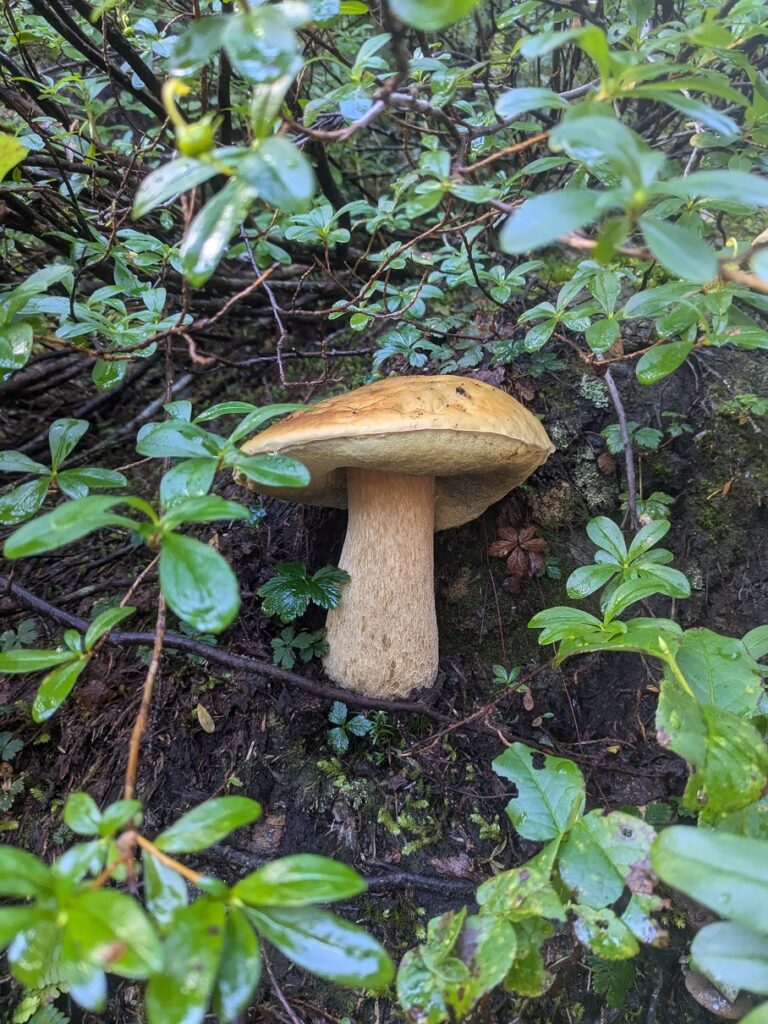
There are many trail junctions along the way, and the trail is well-marked. However, I still recommend having an offline map in an app like Gaia or All Trails.
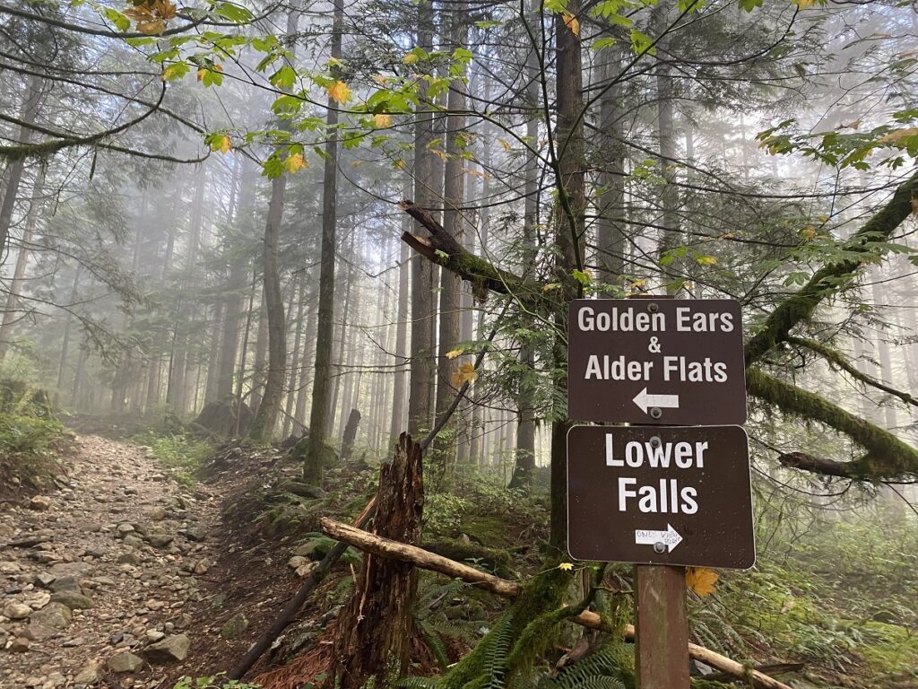
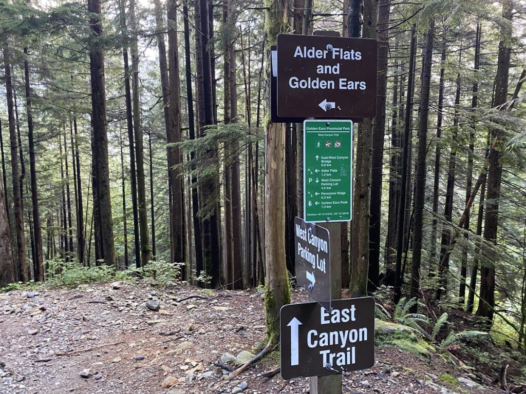
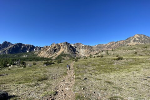
It may be the time of the year, but only a few people were camping at Alder Flats. Past Alder Flats, The Golden Ears Trail is tough. It was a steep climb to Panorama Ridge, with about 800 m of elevation gain over 5 km.
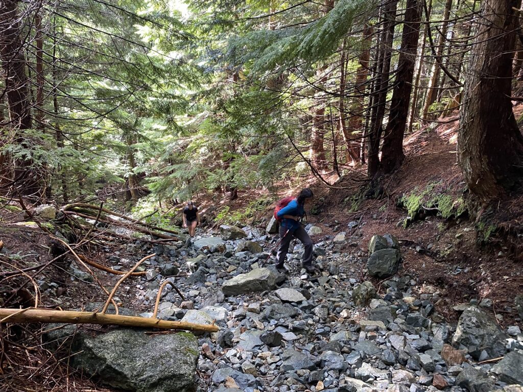
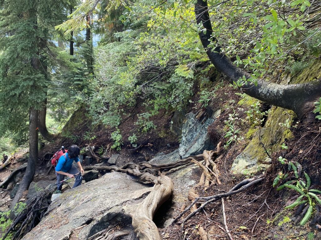
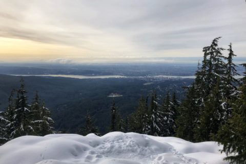
Once on the ridge, we had amazing views of the Pitt Lake.
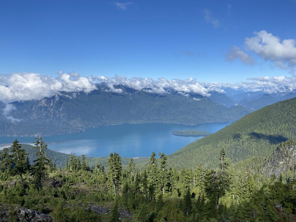
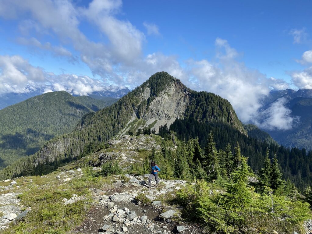
Around noon, about three and a half hours into the hike, we arrived at the tent pads/emergency shelter and took a short break. The Golden Ears summit was right in front, and the terrain leading to the summit was snow-free.
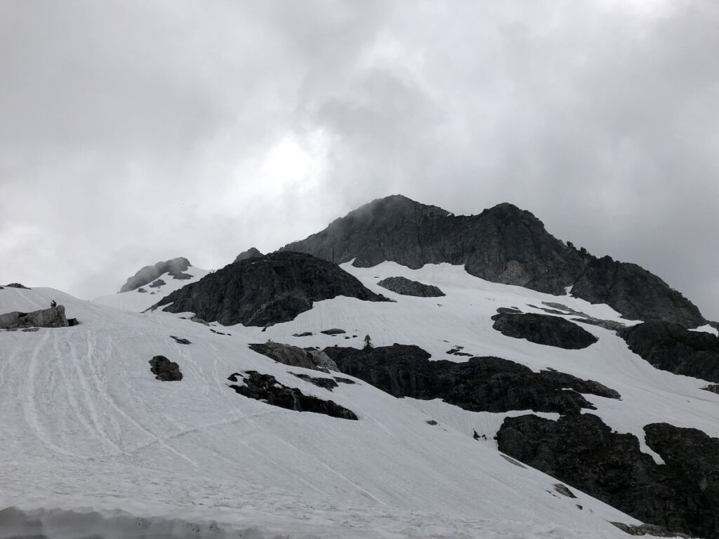
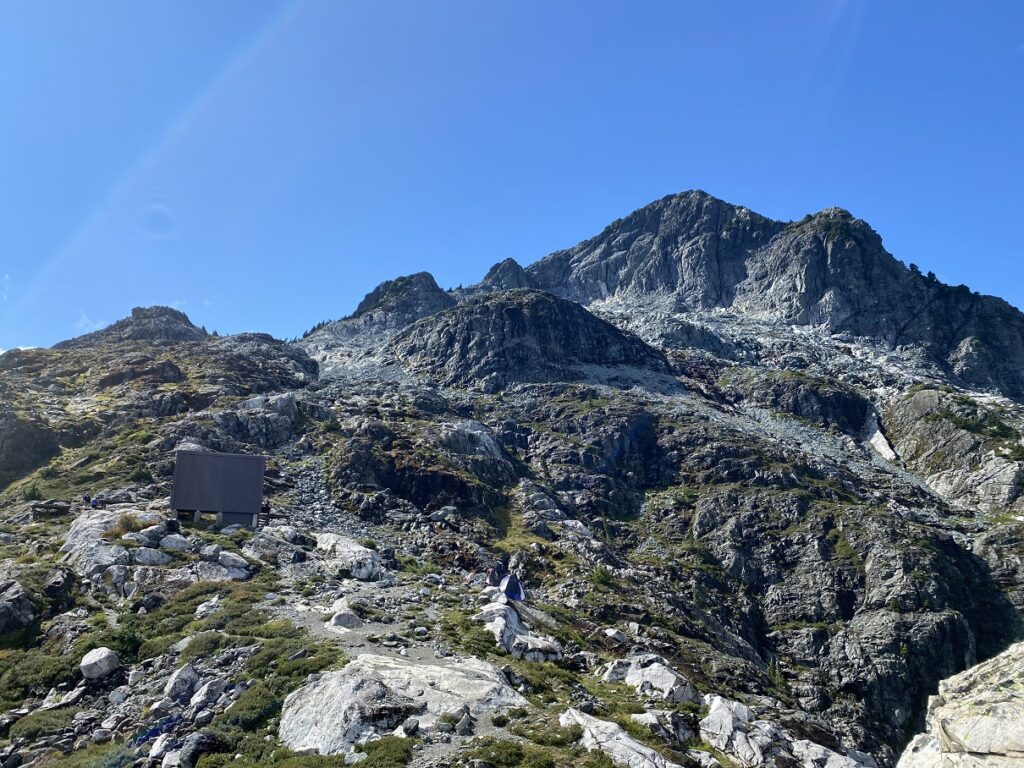
Golden Ears Summit (1716 m)
There are no trail markers past the emergency shelter, and this is where an offline map will be handy. In my Gaia map, I could see the marked trail (shown in green in pic below) leaving the hut, going up the slope and then along the ridge to a high point before dropping down and climbing again for the final scramble to the summit.
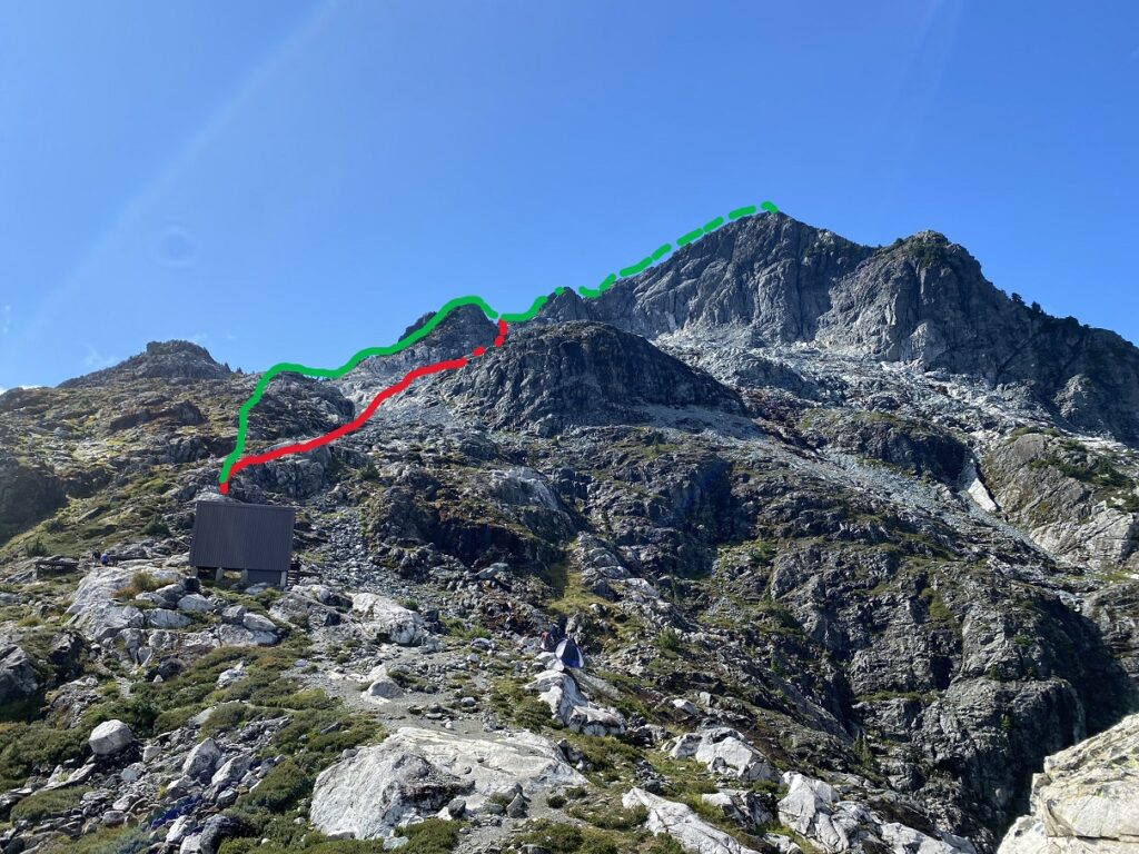
I thought there was a direct approach (shown in red in the pic above) that we could take to save some time. However, the terrain with the direct approach was more complex than expected and quite steep in some sections.
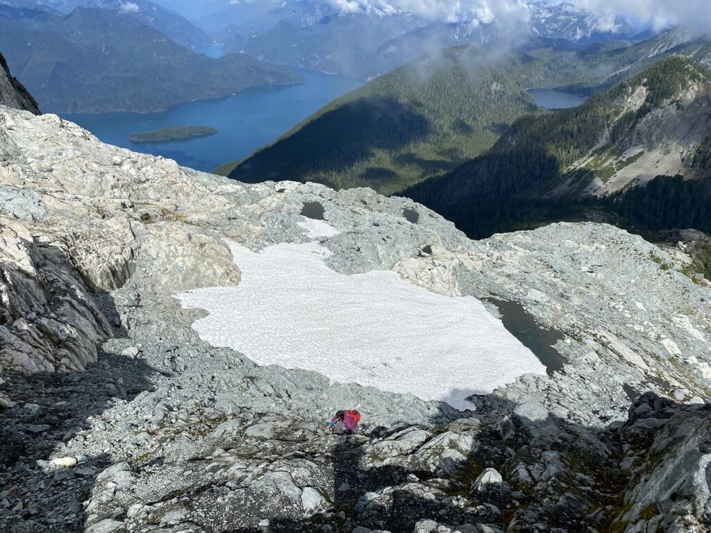
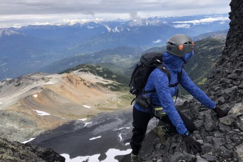
Eventually, we got on the main trail and scrambled up to the summit. It took us forty-five minutes from the hut to reach the summit—exactly what Neha had predicted. It took us just over four and a half hours from the parking lot to reach the summit.
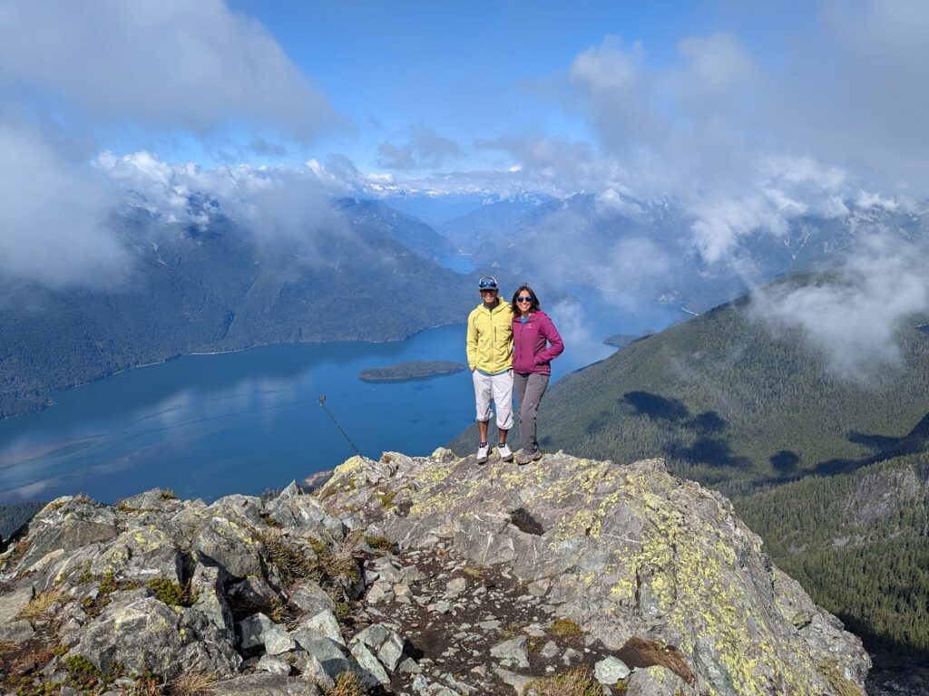
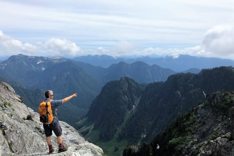
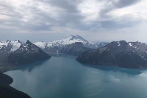
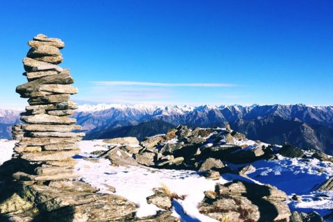
Even with the clouds, we had some amazing views of Pitt Lake, Raven Lake (an alpine lake), Edge Peak, and Golden Ears-Blanshard Needle traverse.
Descent
After a long break, we started our descent. This time, we followed the established trail, which made for a quicker and more straightforward descent to the hut.
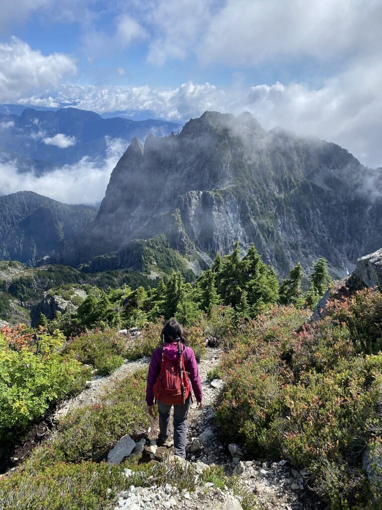
However, as we followed a person in front of us, we went off-trail on Panorama Ridge and had to scramble down some sections to get back on the main trail. Further down the trail was another section where we ended up on the wrong trail and had to cross over a huge wet and slippery log to get back on the trail.
Thankfully, we had no more of these off-trail adventures, and we were back at the parking lot just after six p.m. It had taken us about nine hours and forty-five minutes to complete the hike—a 24 km round trip with 1780 m vertical.
The highlight for me was the final section of the hike from the hut to the summit. I had this impression of a permanent snowfield in this area, but that is not the case anymore. Still, it was a good day in the mountains and another fun outing with Neha.
Territory Acknowledgement
I would like to acknowledge that this trip took place on the unceded territory of the Coast Salish peoples, including the territories of the Semiahmoo (se-mi-AH-moo), Stó:lō (Staw-low), qʼʷa:n̓ƛʼən̓ (kwant-len) and sq̓əc̓iy̓aɁɬ təməxʷ (kat-zie) Nations. I commit to learning about Indigenous peoples and issues and making reconciliation an ongoing effort.
Source: Native-Land
Pronunciation Guide: First Nations.info, A Guide to Pronunciation of BC First Nations
Resources:
First Nations: Semiahmoo | Sto:lo | Kwantlen | Katzie
Trail Info: East Canyon Trail | Golden Ears Summit Hike
Golden Ears Provincial Park Website
Online Camping reservation/backcountry permit
To read more about the Golden Ears Emergency Hut, checkout this post on Club Tread.
Back in 1920s, Maple Ridge had the largest logging operation in British Columbia. Maple Ridge Museum and this document provide a great overview of the logging operations in Golden Ears Provincial Park.
Matt Gunn’s Book – Scrambles in Southwest British Columbia
Weather Forecast – SpotWx | Yr.No | Windy
AdventureSmart – Trip Planning – Leave a trip plan
Disclosure: The links I have shared in the post and under the Resources section are not Affiliate Links.
Did you enjoy reading this post? Please subscribe to get regular updates. Please share your feedback in the comments section below. Thank you!


